
Wildside Harvest
A local super fruit salal contains compounds high in antioxidants that are full of health benefits, such as decreasing inflation, promoting cardiovascular health as well as a myriad of nutritional benefits.
Stella Wenstob | photos & story
Summer is fading, its warmth edged by the cool, crispness of fall. Theres a dampness that only can be shaken by a warm fire or a cozy drink. It is almost time to dig into the back of your closet and find that sweater that you forgot about last Spring, but you know that if you put it on in the morning, by lunch time you’ll be sweating it off. They call September a transition month, but menopausal might be more accurate. Salmon start working their way up inlets and streams and blackberries begin to rot on the vine.
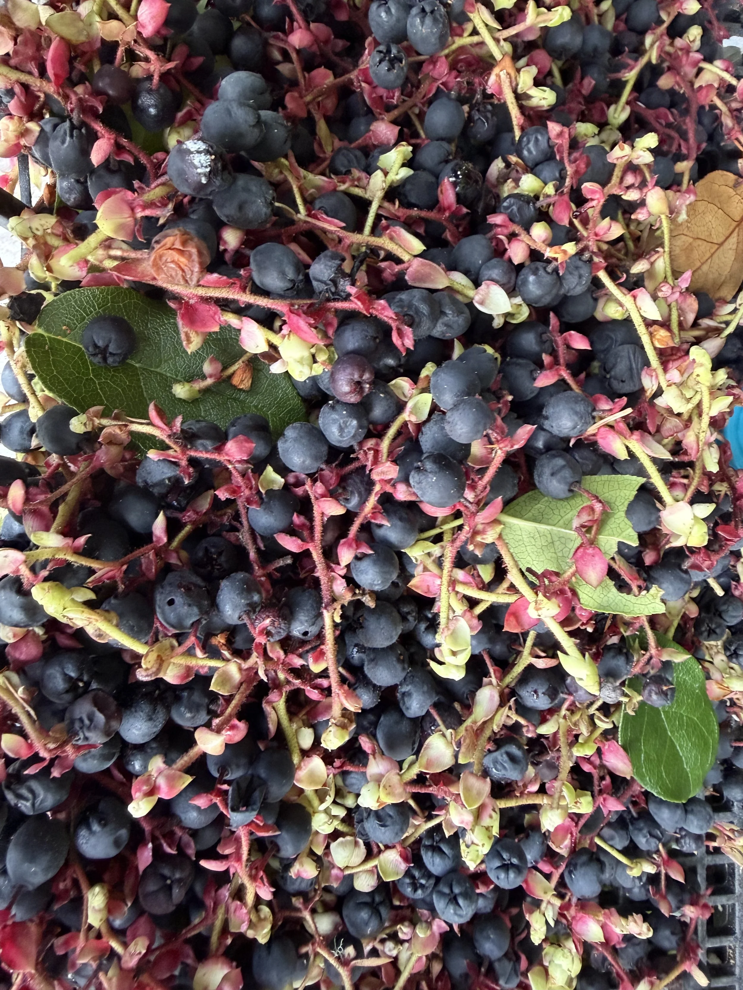
But this is not the end of the natural bounty of the Pacific Northwest. Oysters are ready for the picking. And local fruit, such as the purplish berry-like swollen sepal’s of salal (Gaultheria shallon) and the dark or sometimes bluish evergreen huckleberry (Vaccinium ovatum) are adapted to the dampness, they contain high proanthocyanidins, which have strong antimicrobial properties that deter moulding. These proanthocyanidins are a type of tannin that are found in tree barks, roots, leaves, and fruits of plants, but the salal berry’s content is charted as one of the highest in the berry world (higher in some healthy compounds than blueberry, lingonberry, and cranberry). A local super fruit salal contains compounds high in antioxidants that are full of health benefits, such as decreasing inflation, promoting cardiovascular health as well as a myriad of nutritional benefits.
SALAL
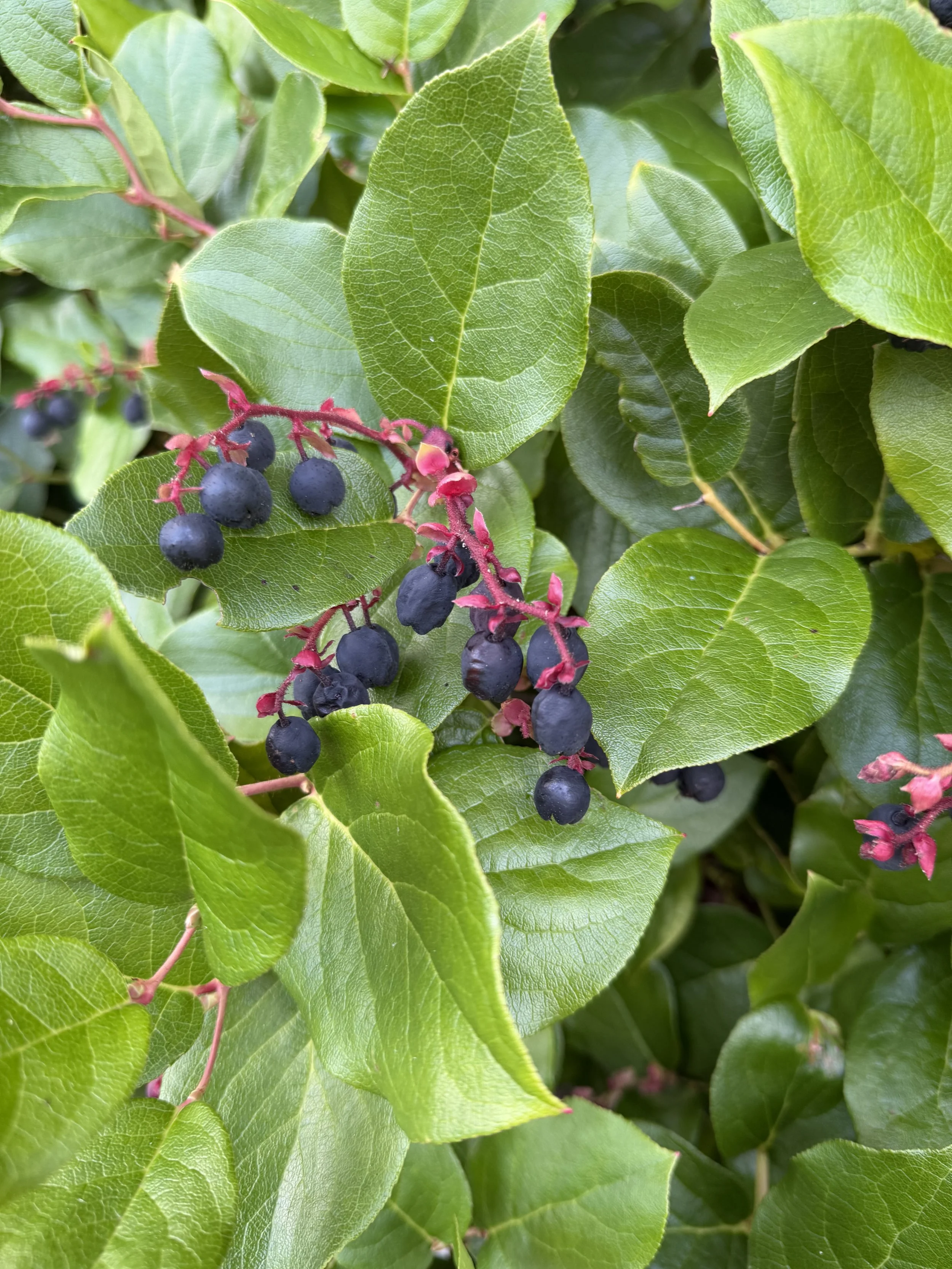
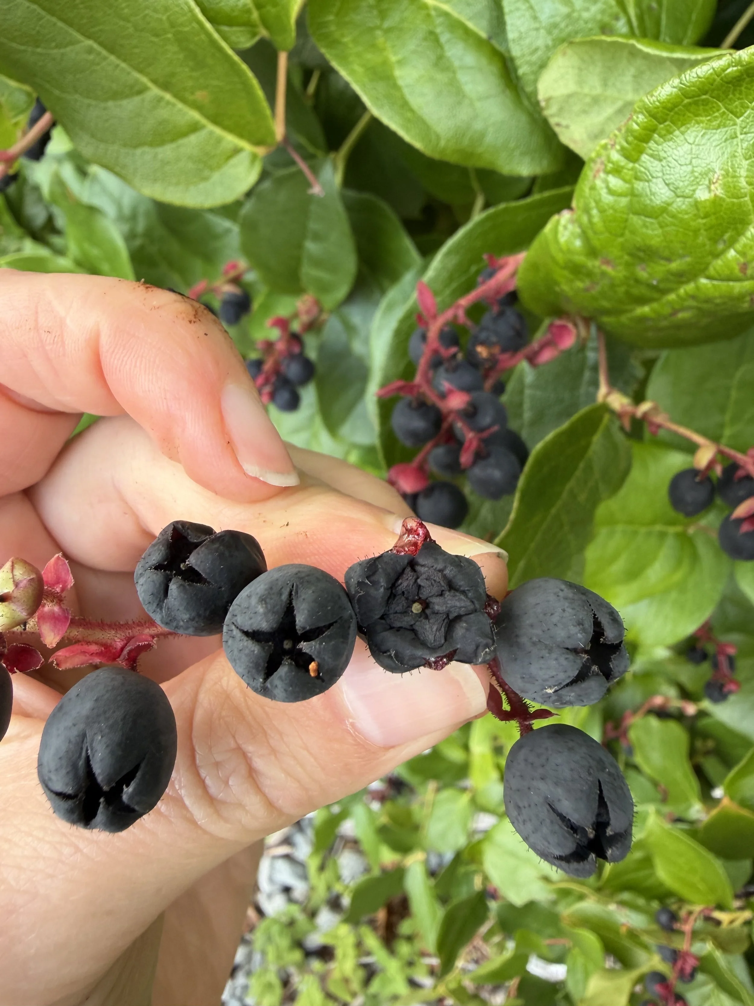
As a child I delighted in pinching the base of the slightly fuzzy fruit to pop them open revealing their inner five-pointed star shape. This shape marks salal as an untrue berry (or pseudoberry, according to botanists). True berries are formed by the swelling of the ovary or fruiting body of the flower, whereas salal (and other non-true berries like blueberry) are formed from the swollen outer sepals of the flower.
Growing up on the the west coast of Vancouver Island, I remember breaking off the reddish branches that the fruit form on in uneven clusters of 5 to 15 and pretending I was eating grapes. Which isn’t that far off since Shiraz grape berry skins are also famous for their high levels of proanthocyanidins (but still only roughly half the amount that salal does). There was a myth in my hometown that the Vinland that the Vikings discovered was not L’Anse Aux Meadows off the East Coast of Canada, but the Pacific Northwest with its dripping salal berries.
Of course, while fantasy versions of history are diverting, the truth is always more fascinating. salal was incredibly important to the Indigenous people of the Pacific Northwest. It is named in 30 languages, even language groups that didn’t see the plant growing locally (Turner 2014) but valued the berries as a trade good. [Just as an aside, there are over 50 distinct Indigenous languages spoken in the Pacific Northwest, that is the area from Alaska to Oregon– making this one of the most linguistically diverse parts of the world]. Along the Hood Canal, the Skokomish (Twana) have two words for salal: t́a’qe, which refers specifically to the plant, and t́a’qa?, which refers to the berry (Nile Thompson, undated, Skokomish Tribal Centre). The word salal comes from the Chinook Jargon, an Indigenous trade language, first recorded by the 1805-1806 Lewis and Clark expedition as variously shallon, shelwel or shellwell. This was later tightened up to salal or sallal by the Scottish botanist David Douglas (of Douglas Fir fame) when he visited Fort George (near present day Astoria) in 1825.
As its linguistic significance attests salal was widely enjoyed by Native Americans of the Pacific Northwest. There are extensive records of seeds and whole berries recovered from archaeological sites. And it is remembered how berries were harvested in huge numbers, Nancy Turner in her 2014 volume estimates this to be 100,000 to 200,000 berries per family per year. These were cooked using hot rocks and then dried into cakes that would last into the winter. These cakes were often traded from coastal tribes into the interior to tribes that did not have this delicacy. To take away the dryness, when eating them they were dipped in eulachan, seal or whale oil. The leafy branches are also useful in pit cooks. The berries were also crushed up and mixed with salmon eggs to make paint. And it is recorded that the leaves were used in teas to ease inflation and they were often chewed as a hunger suppressant. Even today salal still plays an important part in the Pacific Northwest’s economy. Known commonly as “lemon leaf” it is an ubiquitous green found in commercial floral arrangements.
My dad loves to pick ripe salal berries in late August to mid-September. He recently discovered a hack to separating the stems from the berries (a task that if often tedious and unsatisfactory as it often bursts the tender berries) – he picks the berries complete with their red stems and freezes them on baking trays overnight, the next day the frozen berries are firm enough to separate from the stems without damage.
My dad’s speciality is salal berry jelly, and it is a favorite with its rich, earthy flavou. My brother in-law calls it “medicine”. My dad is a creative cook, and I have a strong childhood memory of dad straining the tiny seeds from his boiled concoction with a pair of my mum’s pantyhose. Thankfully, dad now uses a metal strainer, but these seeds are important in the boiling stage for imparting lots of natural pectin that helps the jelly set. Another use my sister, over at the Fjord Oyster Bank, recently discovered was rendering the berries into a syrup which she used as a base for gelato! As a nod to more traditional methods of preparing salal, the internet abounds with recipes for making fruit leather with salal. I have not trued this, but its antimicrobial properties and its pulpy texture make it a natural fit for this method.
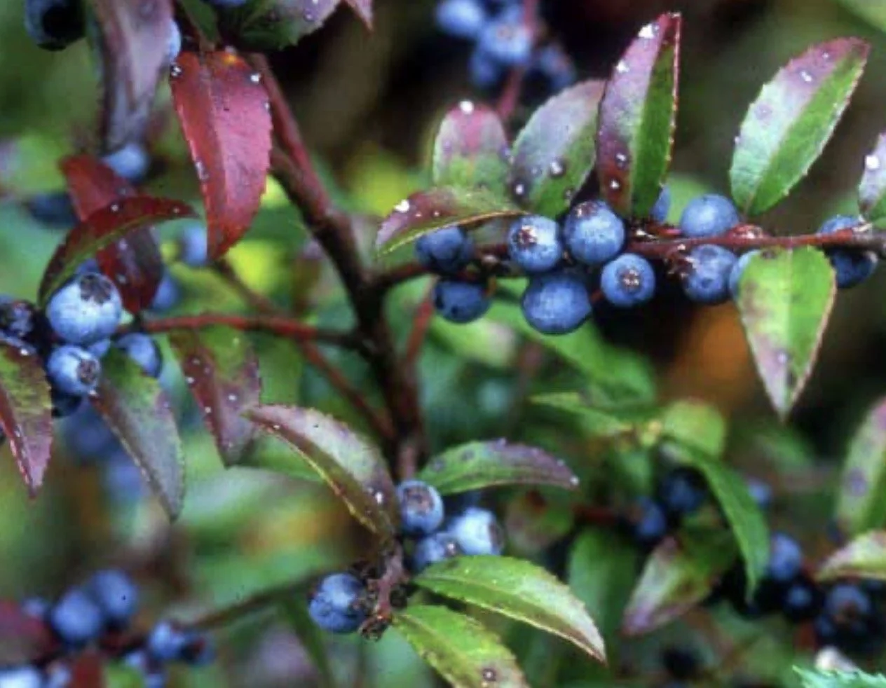
EVERGREEN HUCKLEBERRY
Evergreen Huckleberry (or cynamoka) is another local super fruit that becomes available in the Pacific Northwest from late summer to late fall (some even say the berries taste better after the first frost). They are known as the ya’ýaXbi (the bush) and ya’ýaX∂b (the fruit) to the Skokomish (Nile Thompson, undated, Skokomish Tribal Centre).
This sometimes dark and glossy or sometime cloudy and blue berry is my favourite berry to pick and preserve. I freeze them and love to have them with yogurt and homemade granola. They are also fantastic in baking, brightening up scones, muffins with their tangy flavor. Basically, anywhere you could use blueberries you can use these, but it will taste ten times better. Of course, my dad also like to make jelly of Evergreen Huckleberry too.
Like salal, Evergreen Huckleberry rates high on the healthy scale. According to Rossier’s survey of the literature around the healthfulness of Evergreen Huckleberry for her 2019 thesis documenting the traditional management and harvest of Evergreen Huckleberry amongst the Karuk, Yurok, and Hupa people of Northern California and Southern Oregon:
“Anthocyanins, a subclass of polyphenols that provides the blue, purple, and red pigments found particularly in dark berries such as V. ovatum, have been specifically researched regarding their ability to: 1) reduce Type II diabetes and associated issues (e.g. hyperglycemia, related kidney disorders, insulin resistance), obesity, and cardiovascular disease; 2) enhance vision; 3) be neuroprotective, 4) be antimicrobial against foodborne pathogens (e.g. Escherichia coli, Listeria monocytogenes, Salmonella enteritidis, among others) while preserving probiotic strains, and 5) be anti-inflammatory, anti-oxidant, and chemoprotective against a variety of cancers, including breast and colon cancers” (20-21, 2019).
Salal is a major food source for the Pacific Northwest people. The Makah of Northwestern tip of the Olympic (and possibly other Northwest tribes), were known to actively manage Evergreen Huckleberry bushes through pruning (also called by coppice) and by controlled burning (Turner 2014) to encourage berry productivity. Likewise, Evergreen Huckleberry is a popular cut green for floral arrangements commercially, though it is not as popular as salal.
Some people get fanatical about picking wild berries in season. They plan out their time off in terms of berry picking hours, make special berry picking buckets out of 8L ice cream buckets and rain pant bib straps, and drive dusty logging roads or hike out to find their special patch. I was raised valuing the berry-stained hands and the delicious taste of a sun warmed berry straight off the branch, I always travel with an empty bucket in the back of my car “just-in-case”, but the berry-picking process doesn’t have to be strenuous to be satisfying. It can be as easy as a walk in the park (literally). Not only is it a lovely way to spend your time, aside from a few bug bites and branch scratches, it’s a very healthy past time and people for millennia have been celebrating and enjoying these fruits of the earth.
Stella Wenstob is is historian and researcher residing on Vancouver Island's outer coast. She is a regular contributor to Tracing the Fjord.
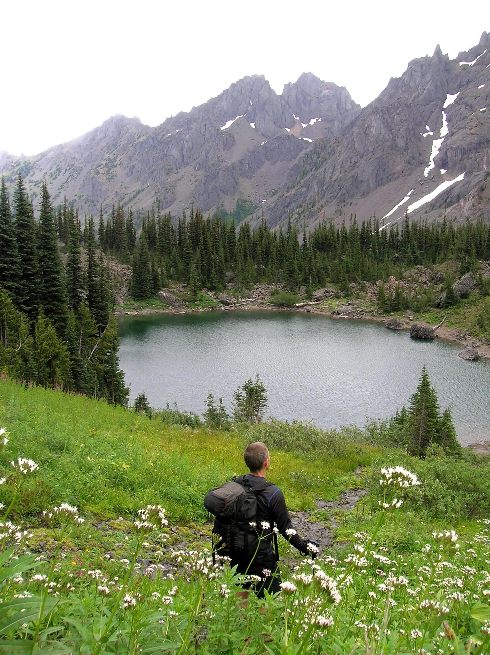
Home Lake
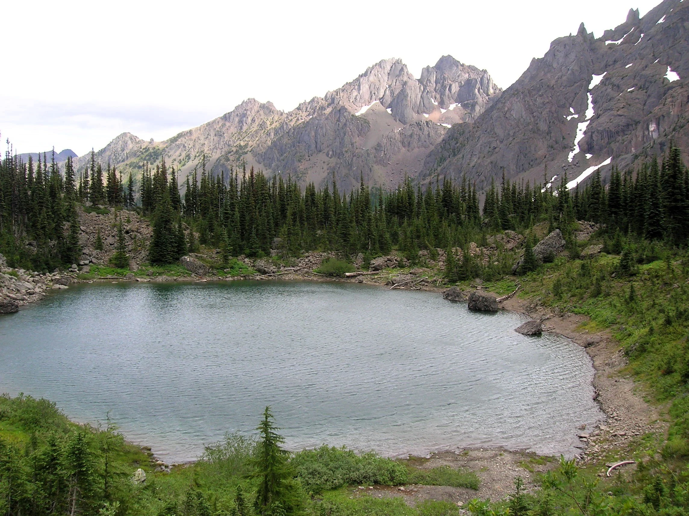
Little Home Lake lies on a rugged and remote ridge tucked between some of the highest and most impressive peaks in the Olympic Mountains. Fed by springs and surrounded by clusters of subalpine firs and flowering meadows, Home’s setting is quite serene. But cast your attention beyond its placid waters and be blown away by the staggering beauty of its neighboring mountains—especially of 7,756-foot Mount Constance, whose sheer western rock face towers above the lake.
Craig Romano | photos & story
Little Home Lake lies on a rugged and remote ridge tucked between some of the highest and most impressive peaks in the Olympic Mountains. Fed by springs and surrounded by clusters of subalpine firs and flowering meadows, Home’s setting is quite serene. But cast your attention beyond its placid waters and be blown away by the staggering beauty of its neighboring mountains—especially of 7,756-foot Mount Constance, whose sheer western rock face towers above the lake. It’s an awe-inspiring scene, and a side of the mountain so starkly different from the one presented to countless folks who have admired this familiar peak from the east.
It’s a long way to Home Lake making it a multi-day hike for all but the strongest hikers and trail runners. The lake can be approached via four routes with the approach starting on the Upper Dungeness Trail being the shortest and easiest (but not easy). That route along with the Tubal Cain Mine Trail approach involve long (and bumpy) drives for folks coming from the South Sound.
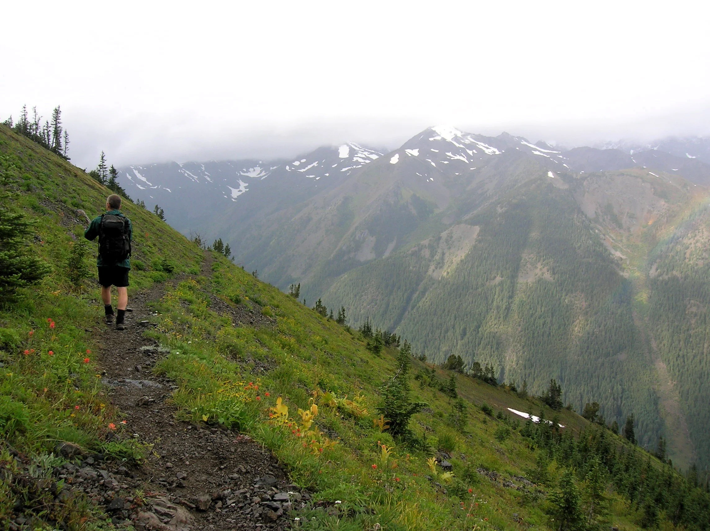
The Dosewallips-Constance Pass approach involves walking a long stretch of old road and a very steep lightly maintained trail. My preferred route to Home is via the Upper Big Quilcene River Trail to Marmot Pass. While this means enduring a busy trail for a few miles, you’re rewarded with exceptional views and several excellent campsites along the way if the 11 mile route to the lake is too much to do in one day.
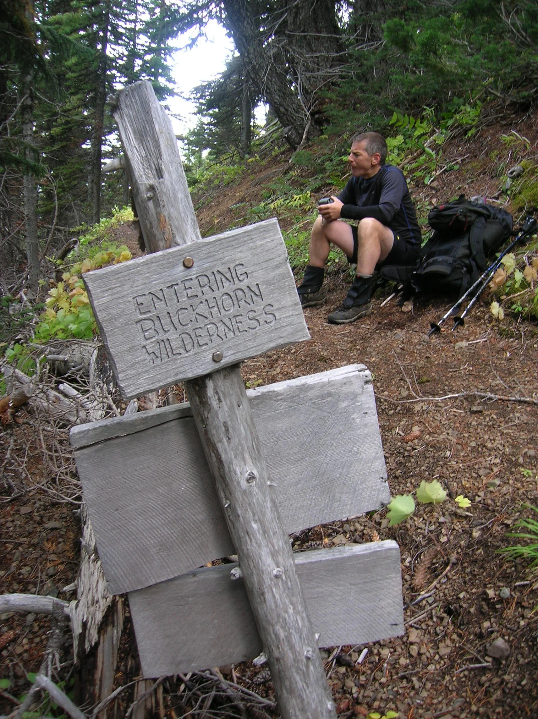
The Upper Big Quilcene River Trail enters the 44,258-acre Buckhorn Wilderness, the largest roadless area within the Olympic National Forest. The trail starts off gently traversing magnificent stands of primeval forest along the churning waters of the Big Quilcene River. You’ll cross many side creeks along the way. Lack of water is not an issue on this route. After passing Shelter Rock Camp, the trail steeply climbs away from the river to begin traversing open avalanche chutes and scree slopes offering good views of the rugged surroundings. Keep climbing—it only gets better. At just shy of five miles the trail reaches busy Camp Mystery set in a grove of Alaska yellow cedars and subalpine firs. Its springs are a great place to refill water bottles.
The trails now leaves the forest for subalpine meadows which burst with wildflowers through the summer. Watch for scurrying ground squirrels, languid marmots, and docile deer. At 5.3 miles, crest 5,950-foot Marmot Pass and savor the excellent view east to Hood Canal, Puget Sound, and the Cascades. Then gaze west towards the Dungeness Valley flanked by Mounts Mystery, Deception, and Walkinshaw; some of the highest summits in the Olympics.
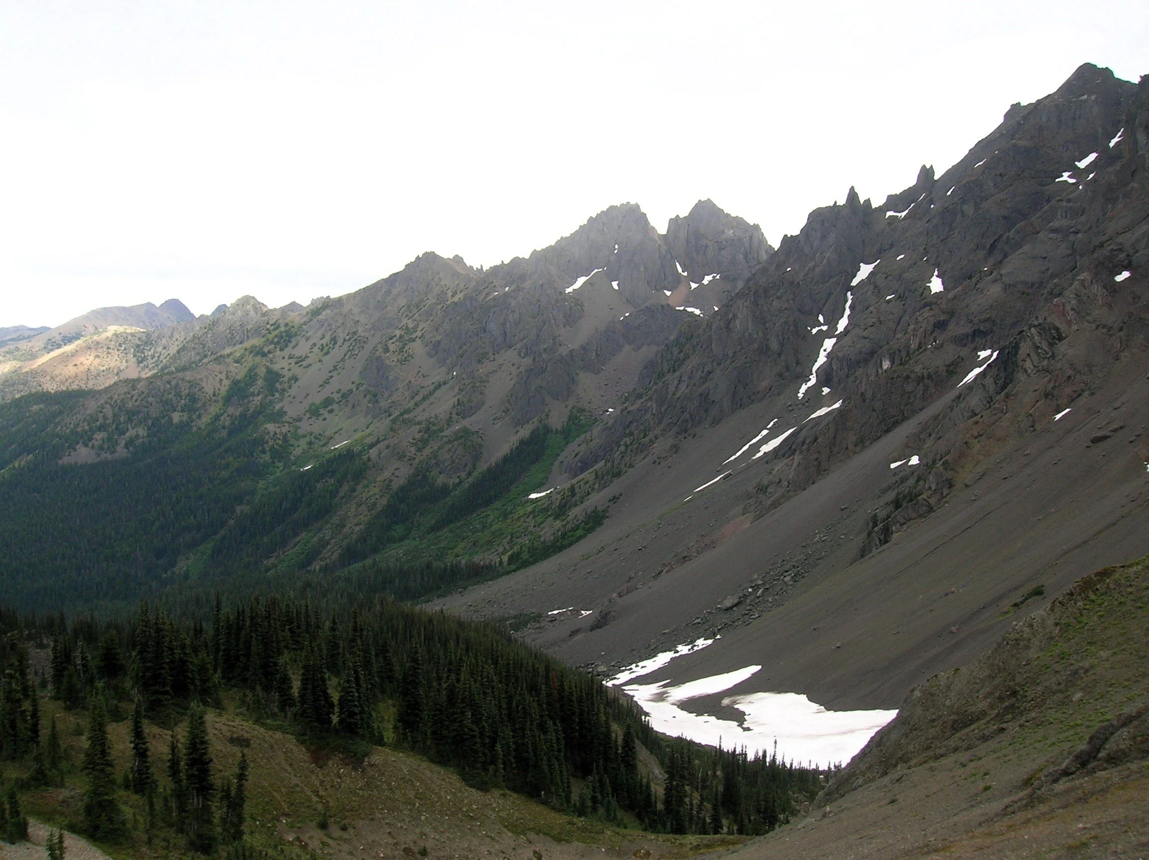
From the pass, the Tubal Cain Trail veers right offering another albeit longer and more difficult approach to the pass. For Home Lake head left traversing open slopes granting sweeping views of a wall of craggy summits. Here in the Olympic rainshadow, the terrain is much drier than the rest of the Olympics. Lodgepole and whitebark pines cling to the ridges and steep slopes.
Look for Clark’s nutcracker, a jay-like bird which feeds on pine nuts. Listen for its raucous call, a rare sound in the Olympics.
The way now descends and traverses a steep slope that often harbors two steep (potentially dangerous) snowfields earlier in the summer. The trail then enters open pine forest and descends steeply. Remember—you’ll have to climb this stretch on your return. At just over 7 miles the trail reaches a junction with the Dungeness River Trail—the easiest approach to Home Lake.
Now continue left on the Home Lake Trail crossing a creek and entering an open basin littered with jumbled boulders. Here find Boulder Camp with its restored and historic shelter. This is a good place to set up camp for the night.
For Home Lake continue south climbing to a forested swale and soon reaching an unmarked junction. The trail left leads one mile to a 6,300-foot gap from where a steep scramble path drops 800 feet to the tiny Charlia Lakes tucked in a rugged cirque. It makes for a spectacular and challenging side trip.
Continue south traversing steep slopes sporting stunted trees. At 8.0 miles enter Olympic National Park. If you’re hiking with a dog, this is your turning around spot. From here the lightly used path skirts steep avalanche swept slopes and crosses several cascading creeks. The terrain opens up as the trail travels beneath the formidable towering and stark walls of 7,300-foot Warrior Peak and 7,756- Mount Constance, third highest peak in the Olympics. The trail descends and gets rougher traversing a sprawling boulder and talus field. The walking is slow over the jumbled mess coupled by an inclination to keep tilting your head upwards and pause in amazement.
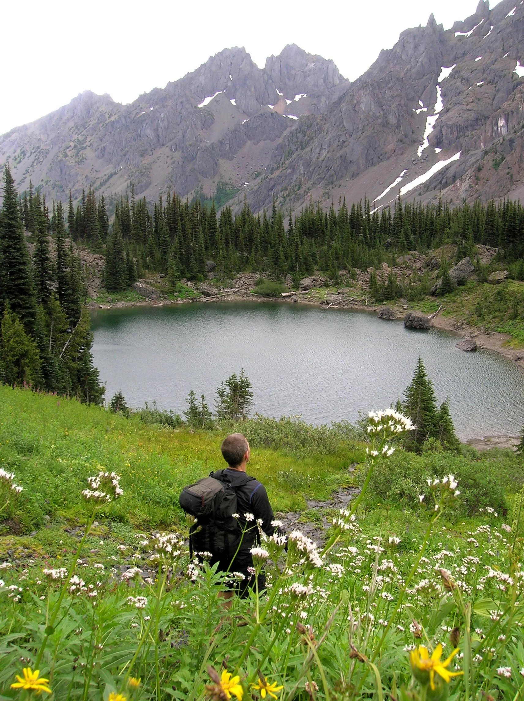
After negotiating the rocky mess the trail once again climbs. It ducks into a forested area to skirt snowfields at the base of Constance. At 10.5 miles and at an elevation of 5300 feet, reach Home Lake housed in a small basin beneath steep flowered slopes.
From its south shore enjoy home sweet views of Warrior Peak (named by celebrated climber Fred Beckey when he solo climbed it back in 1946). Lightly used camps (permits required) can be found on the wooded bluff above its western shore.
If you have any energy left, be sure to continue on the trail beyond the lake for another half mile climbing steeply up heather and flower fields to 5,800-foot Constance Pass. From here take in a breathtaking view of the Dosewallips Valley below and magnificent views of The Brothers, Mount Anderson, Mount La Crosse and a wide swath of the wild Olympic interior. Upon completing this hike, you just might be quoting a famous Dorothy with, “there’s no place like home!”
If you go:
Distance: 21.0 miles roundtrip
Elevation Gain: 5800 feet
High Point: 5350 feet
Difficulty: difficult
Snow free: July through October
Notes: Overnight camping permits required for Home Lake which is in Olympic National (acquire at Recreation.gov or from Wilderness Information Center in Port Angeles; https://www.nps.gov/olym/index.htm). Dogs are prohibited at Home Lake and in Olympic National Park. Campfires are prohibited Home Lake and above 3,500'. Dangerous steep snowfield just beyond Marmot Pass often lingers well into summer.
Trailhead Pass Needed: Northwest Forest Pass or Interagency Pass
GPS waypoints: Trailhead: N47 49.669, W123 02.445
Land Agency Contact: Olympic National Forest, Hood Canal Ranger District, Quilcene; and Olympic National Park, Wilderness Information Center, Port Angeles, www.nps.gov/olym
Recommended Guidebooks: Day Hiking Olympic Peninsula 3rd edition (Romano, Mountaineers Books) and Backpacking Washington 2nd edition (Romano, Mountaineers).
Trailhead directions: From Shelton, follow US 101 north for 48 miles turning right onto Penny Creek Road (about 1.5 miles south of Quilcene). After 1.5 miles bear left onto Big Quilcene River Road (FR 27) and follow this road for 9.3 miles turning left onto FR 2750. Continue 4.7 miles to the Upper Big Quilcene River Trailhead.
Trailhead facilities: privy
After the Fire, the Forest Begins Again
A year after the Bear Gulch Fire swept through the forests above Lake Cushman, a walk into Staircase in the Olympic National Park reveals something unexpected among the blackened trees: life. Lots of it.
Jeff Slakey | Story
A year after the Bear Gulch Fire swept through the forests above Lake Cushman, a walk into Staircase in the Olympic National Park reveals something unexpected among the blackened trees: life. Lots of it.
I made the trek up to Staircase at the end of August. It had been on my list all summer, but somehow summer has a way of filling itself, and the trip kept getting pushed to another day.
I had forgotten what a beautiful drive it is. Lake Cushman appeared through the trees, impossibly blue in the late-summer sunshine. Boats dotted the water. Families lingered along the shoreline, squeezing a little more out of August. Near the north end of the lake, I pulled over for a moment simply to look.
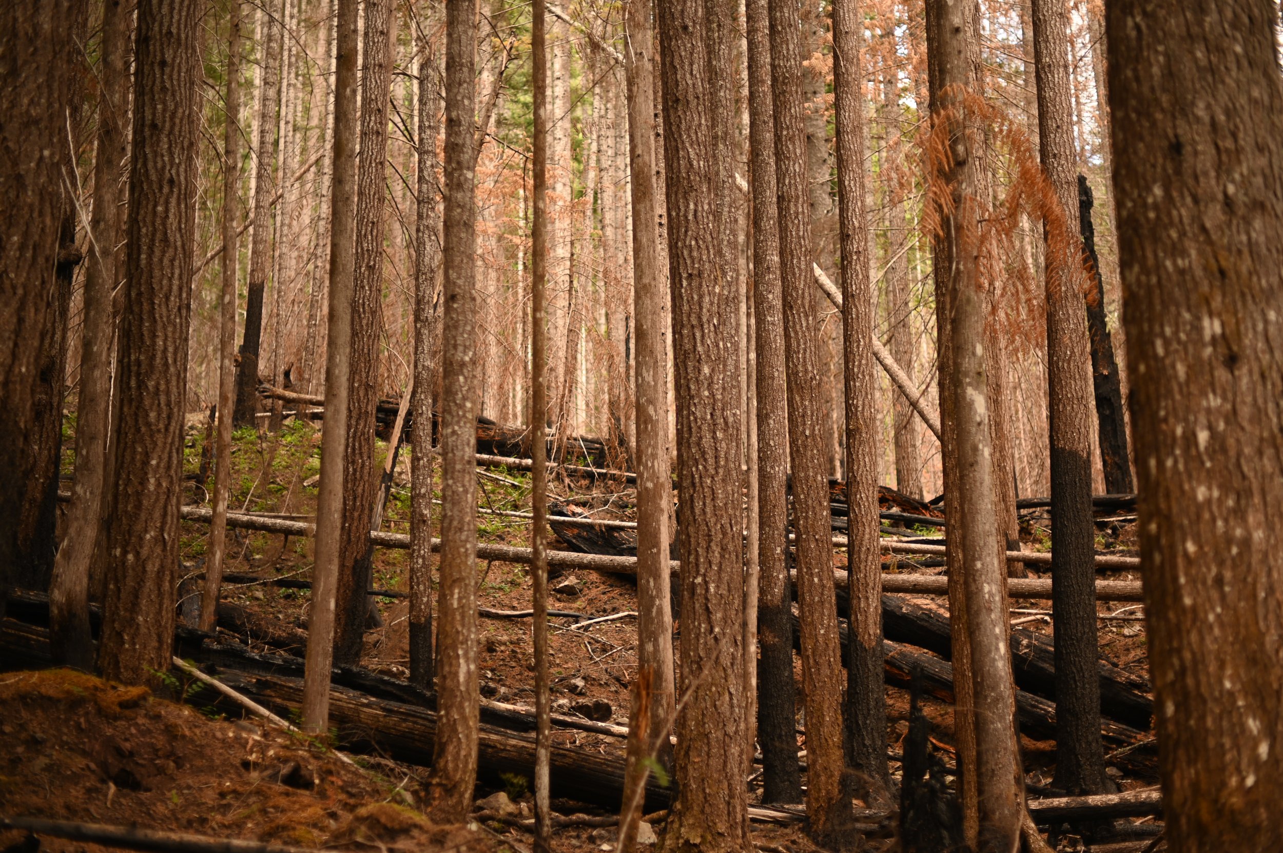
A year earlier, this had been a very different place. On July 6, 2025, a human-caused fire ignited the steep, rocky southwestern slope of Mount Rose above Lake Cushman. It would become known as the Bear Gulch Fire. What began in Olympic National Forest grew through a hot, dry summer. By late July, the fire had moved toward Olympic National Park, crossed the North Fork Skokomish River and entered wilderness areas. Hot, dry weather and easterly winds fueled periods of rapid wildfire growth in August and again in September. By the time it was declared fully contained on November 12, the Bear Gulch Fire had become the largest wildland fire on the Olympic Peninsula since 1951.
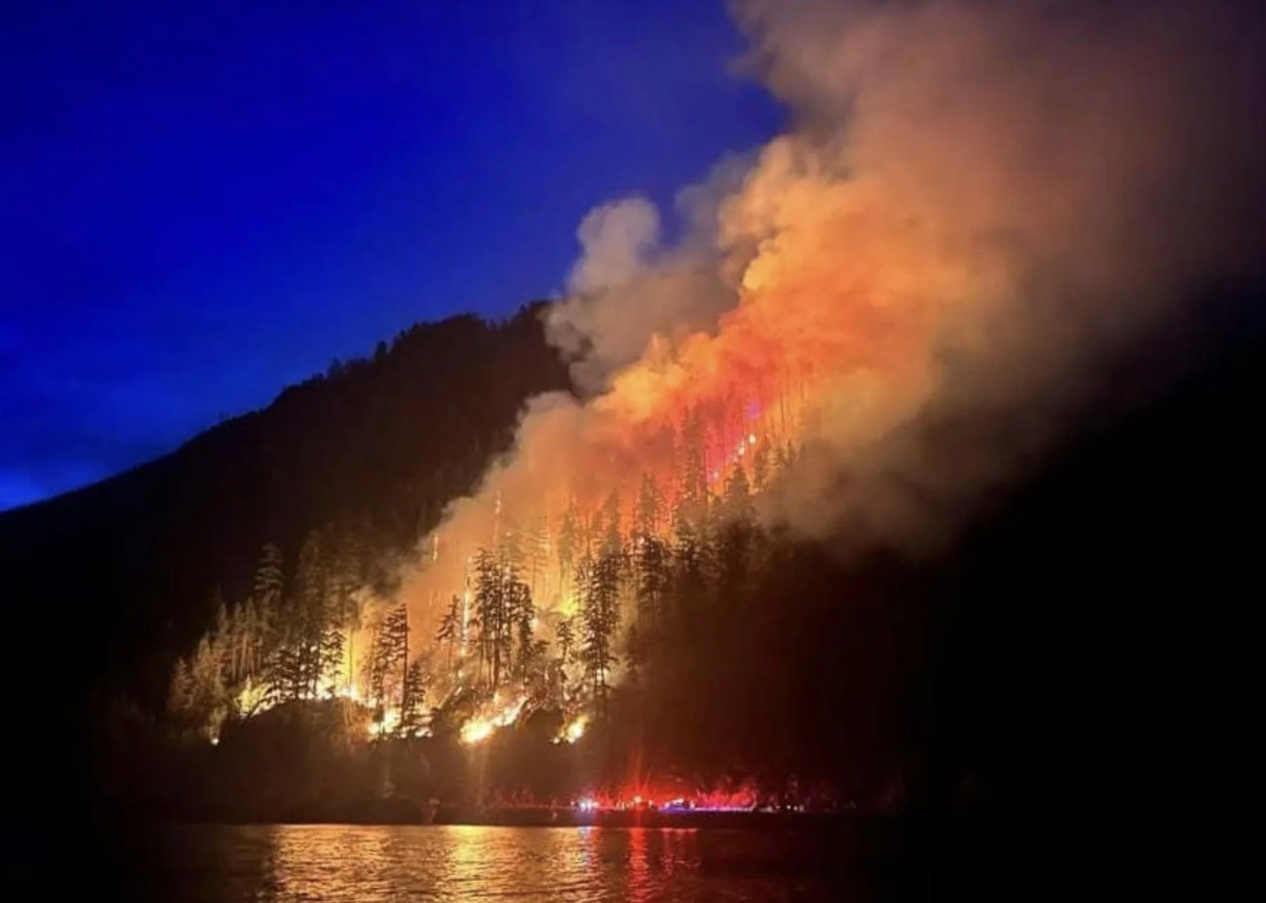
For those of us who live around Hood Canal, watching it unfold was painful. As media we were offered daily updates from the fire service and each report was more grim as the weeks ensued. Staircase isn't simply another entrance to a national park. It is our backyard swimming hole, Sunday hike, picnic spot and the place we take visiting relatives when we want to casually remind them how lucky we are to live here.
Then, for nearly a year, it was closed.
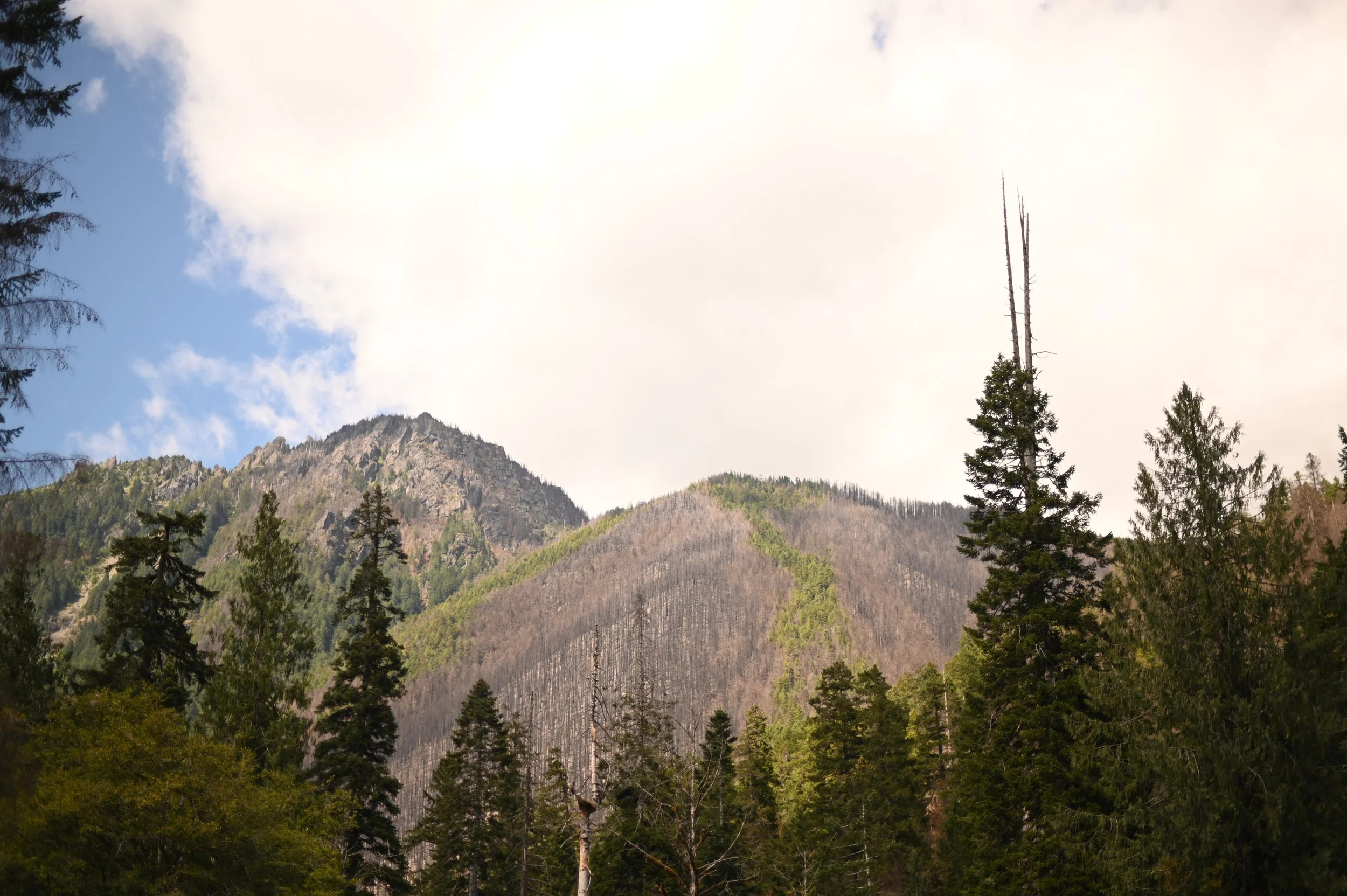
On July 8, 2026, Staircase welcomed visitors back. The road, campground, ranger station, developed facilities and Staircase Rapids Loop Trail reopened, although wilderness trails farther into the burned area remain closed while crews continue assessing hazards and repairing damaged infrastructure.
It isn't the Staircase we remember.
But perhaps that's the point.
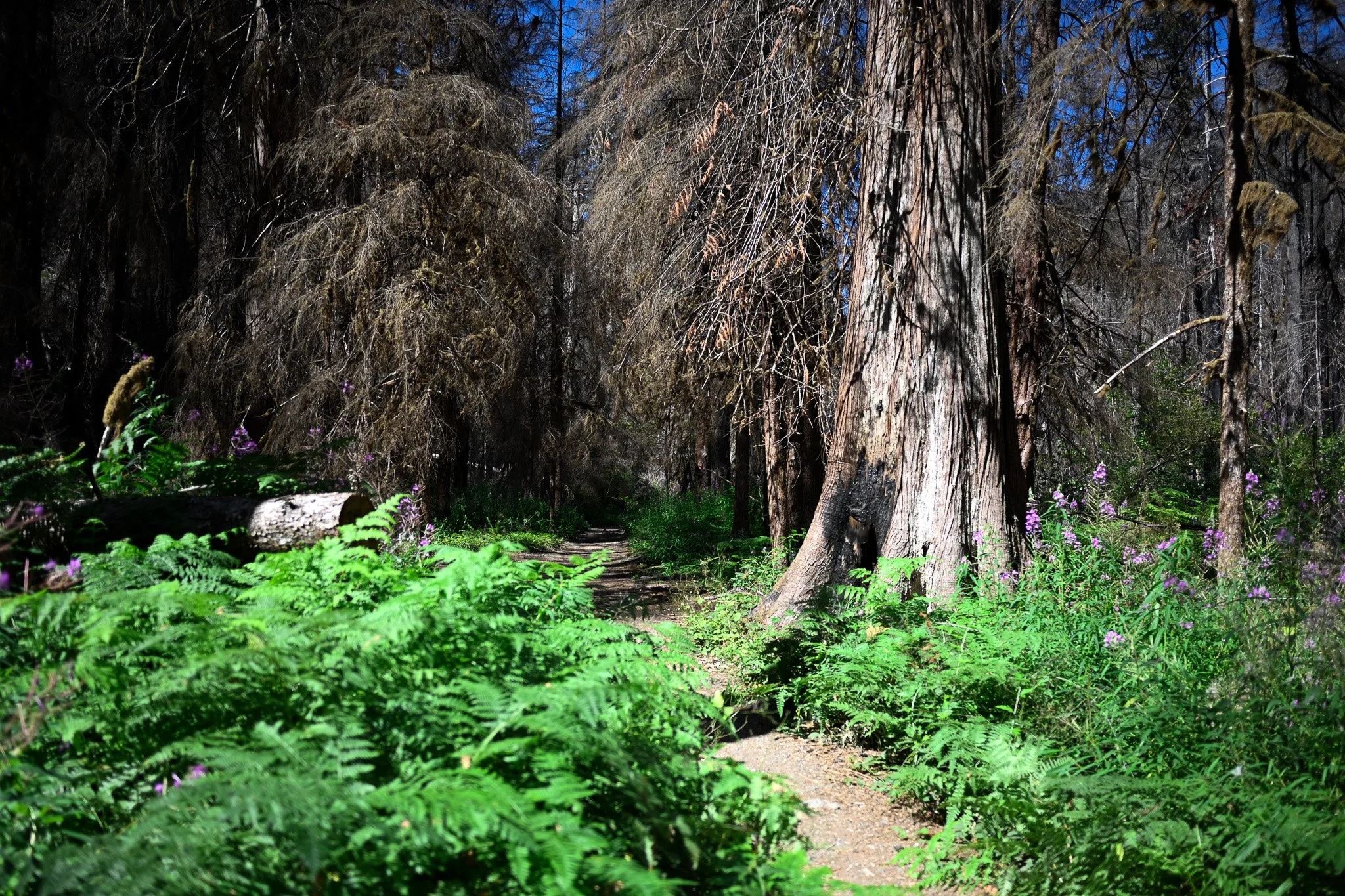
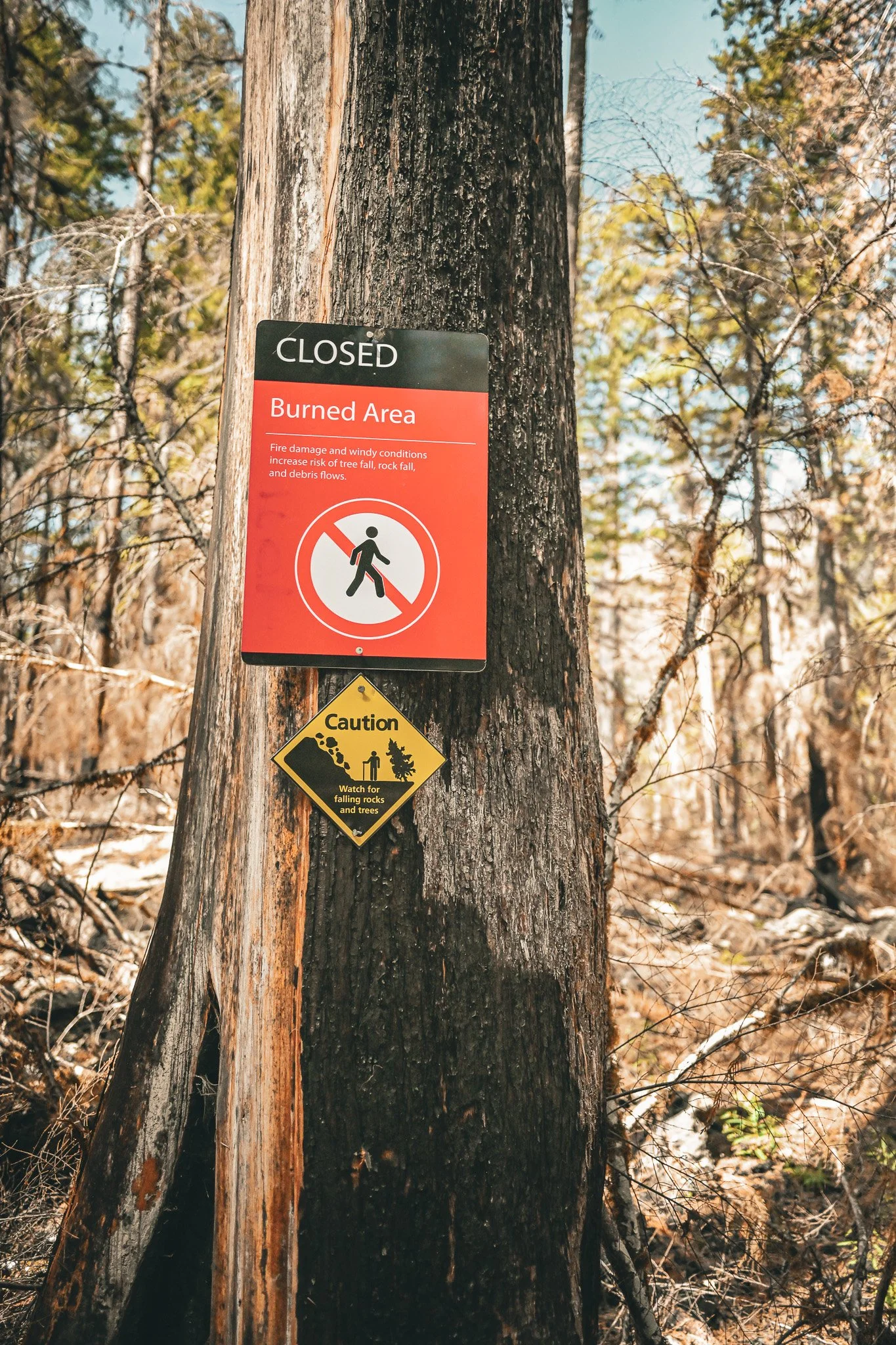
Signs of the fire appear immediately. Some are literal signs—warnings marking closed or burned areas and reminding visitors that hazards remain. Others are written across the landscape. Along the Rapids Trail, trunks stand blackened against the sky. Fallen trees lie where they came down. In places, the forest floor is startlingly open where dense vegetation once crowded the trail. The scale of it is sobering. And then you notice something else.
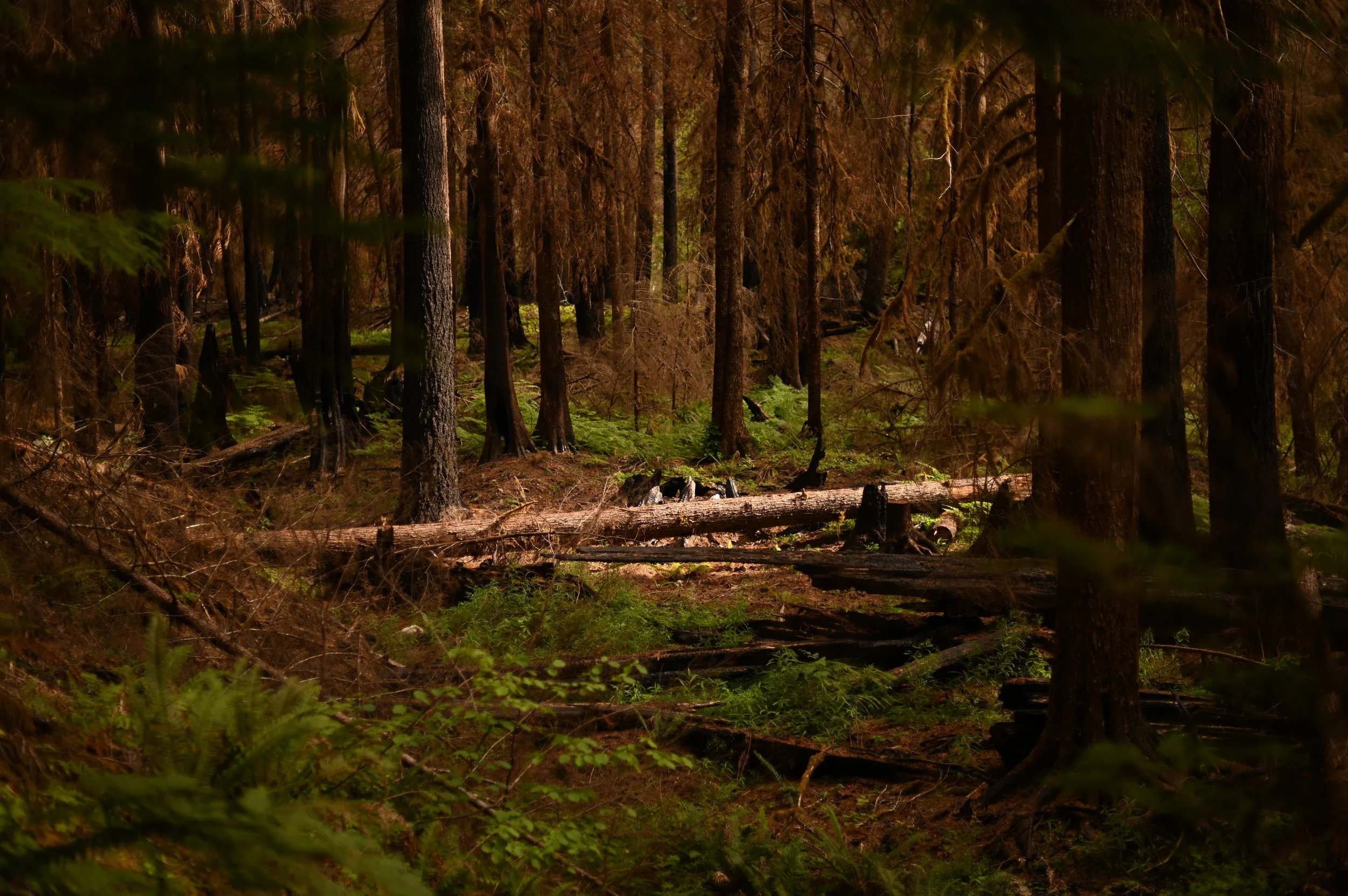
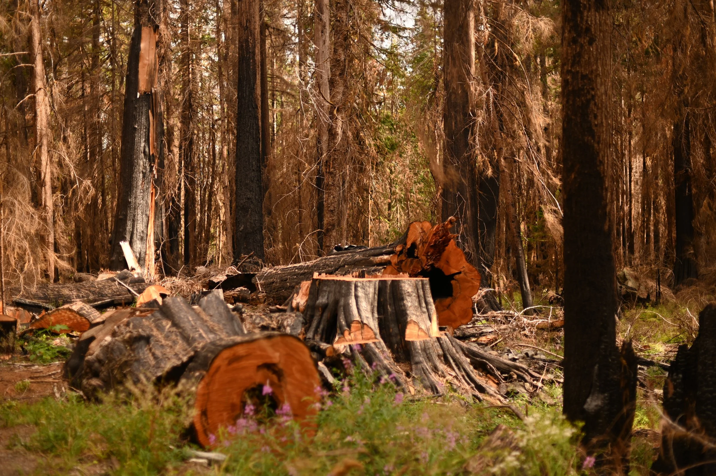
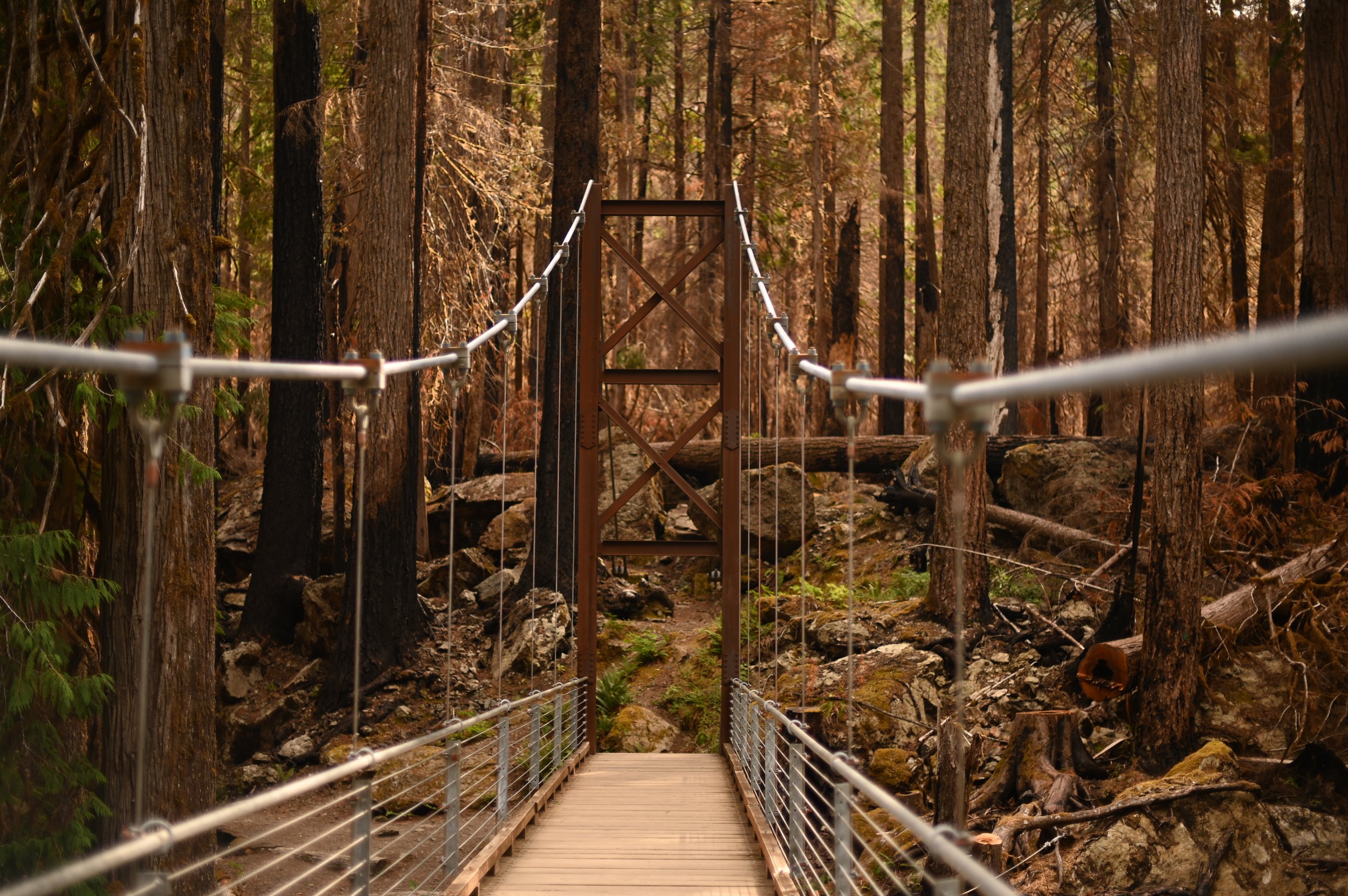
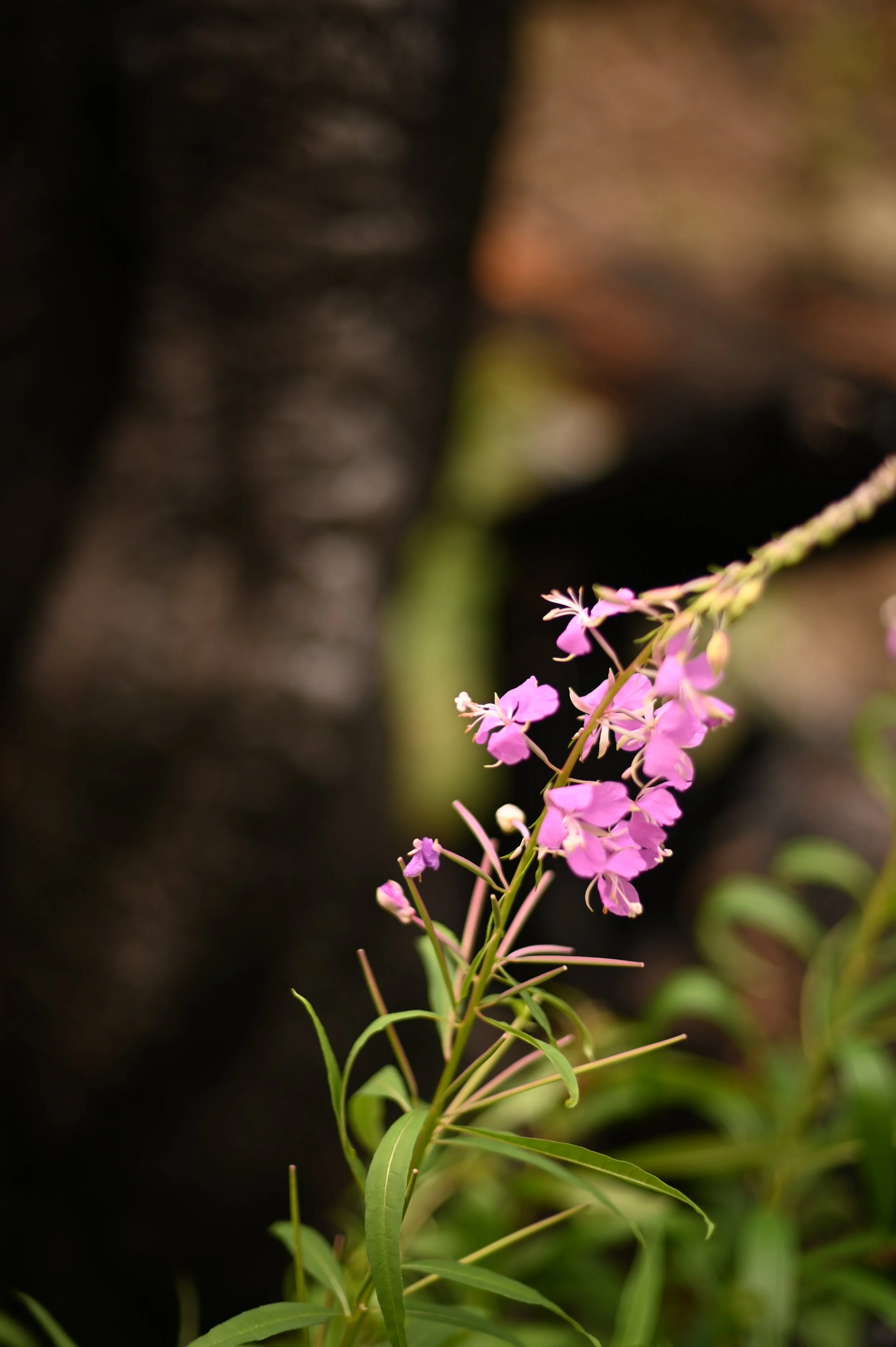
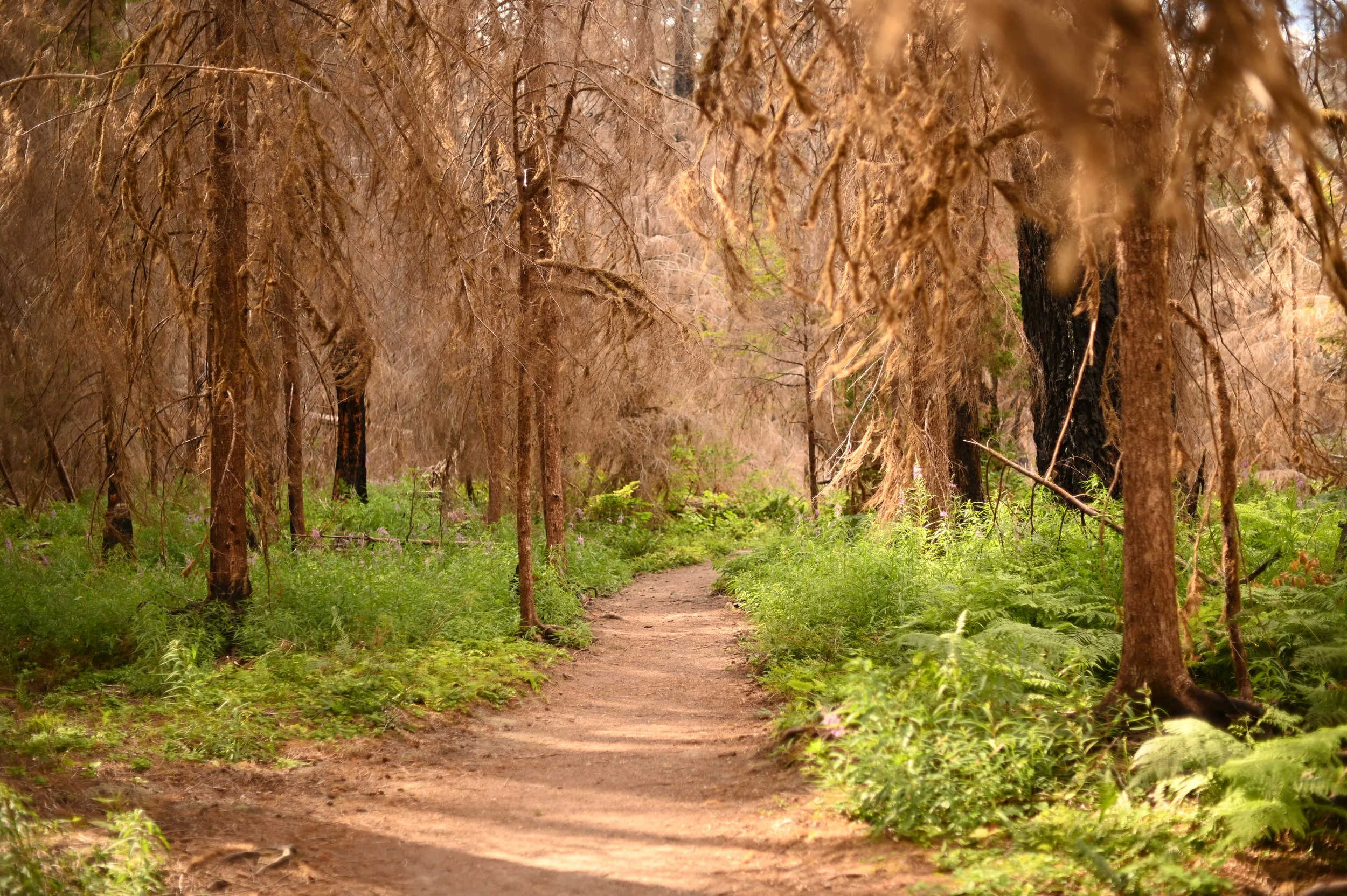
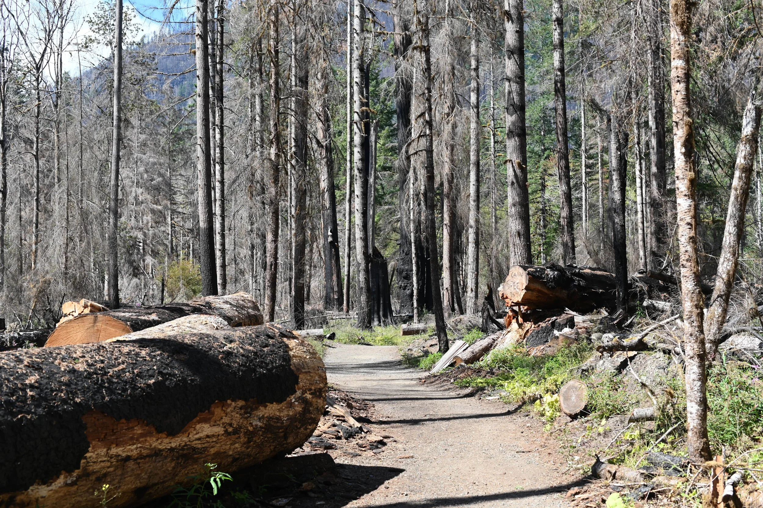
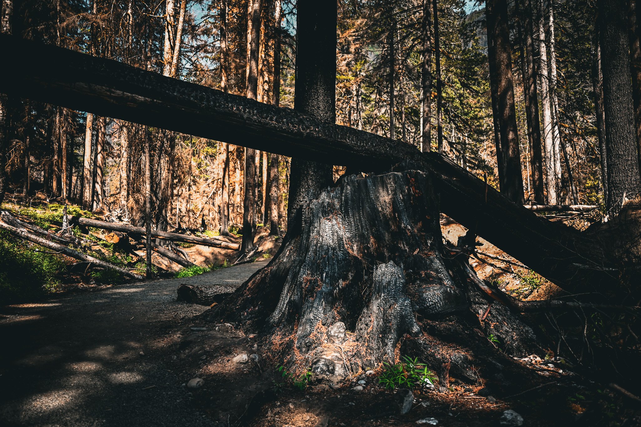
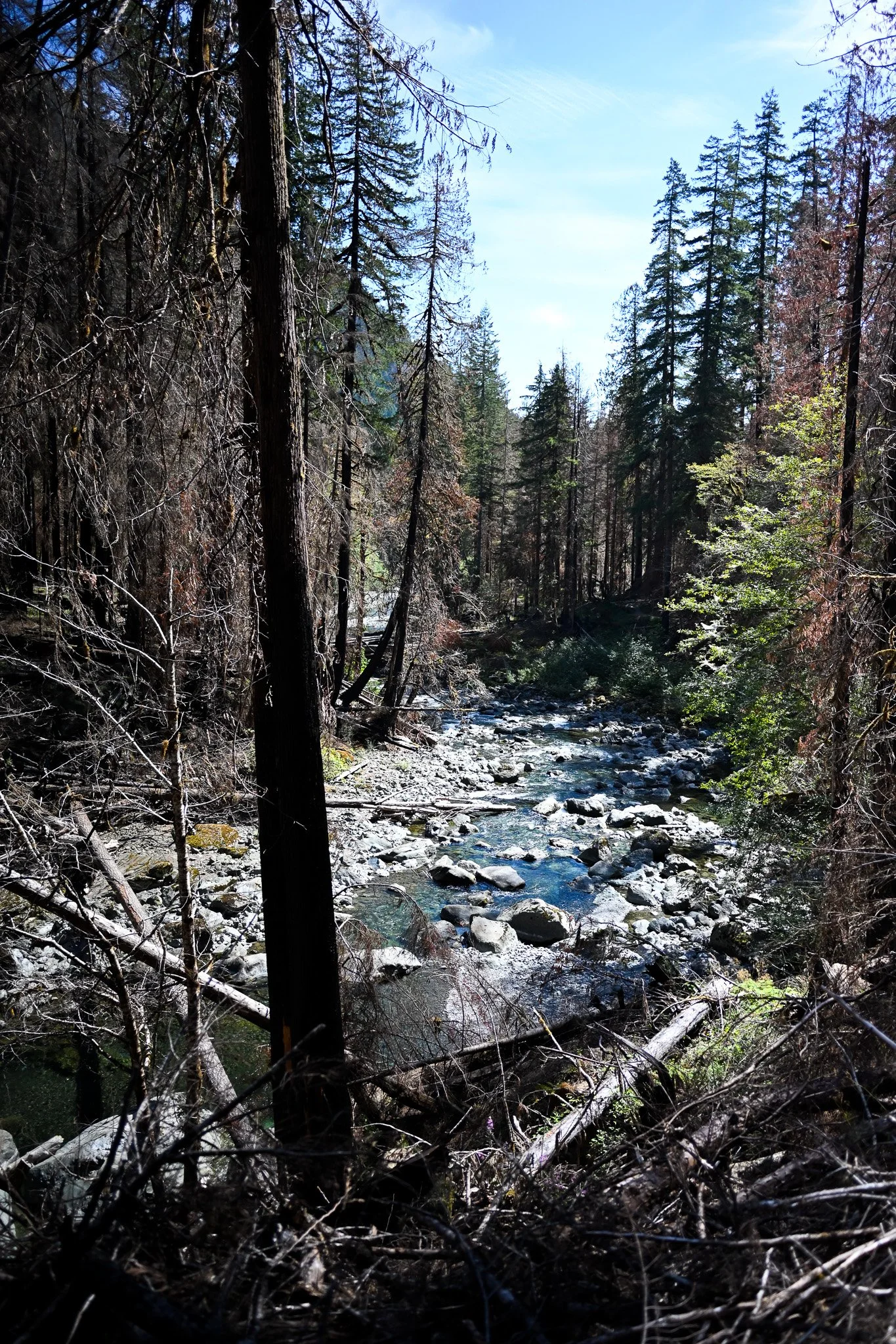
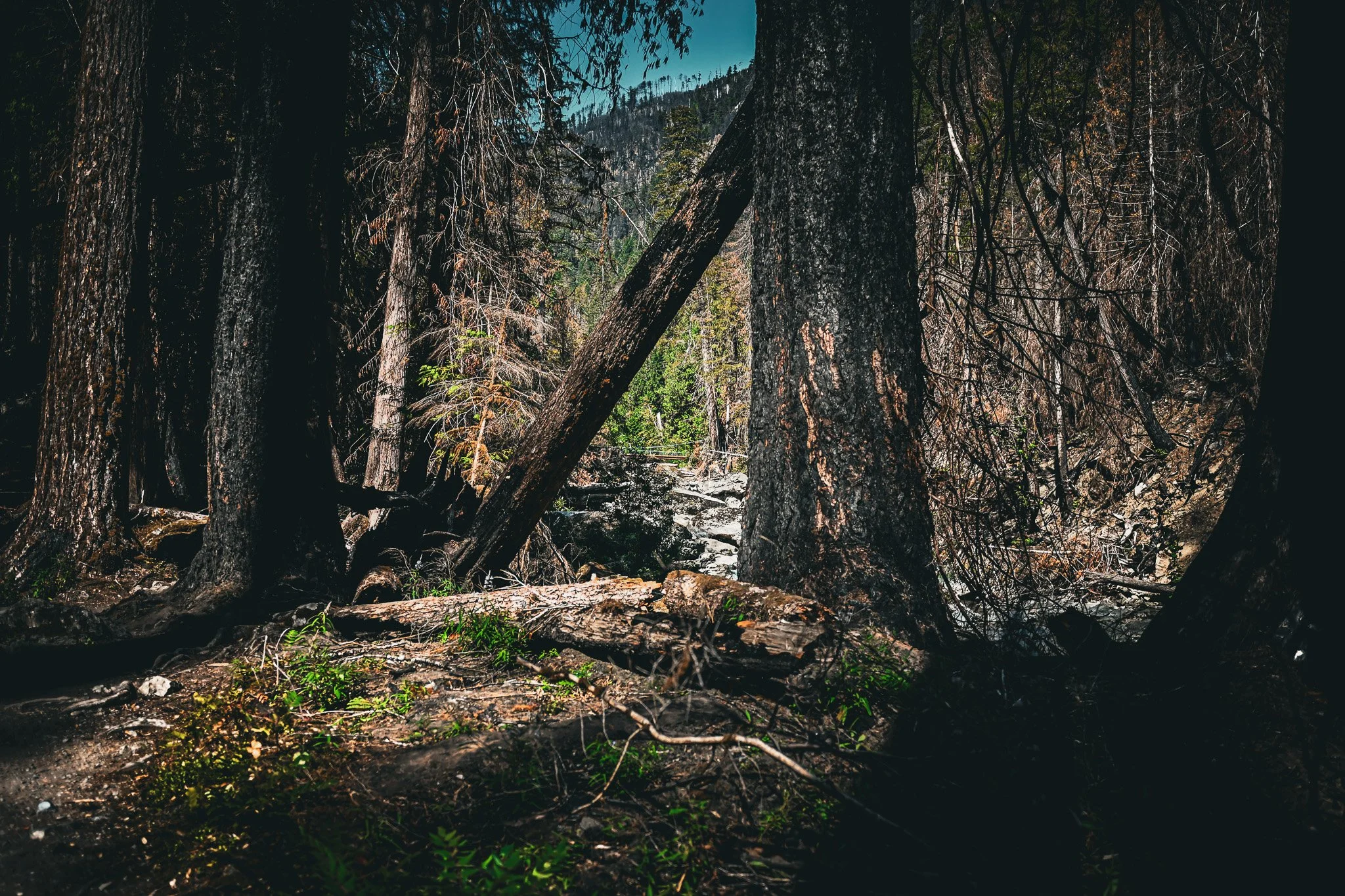
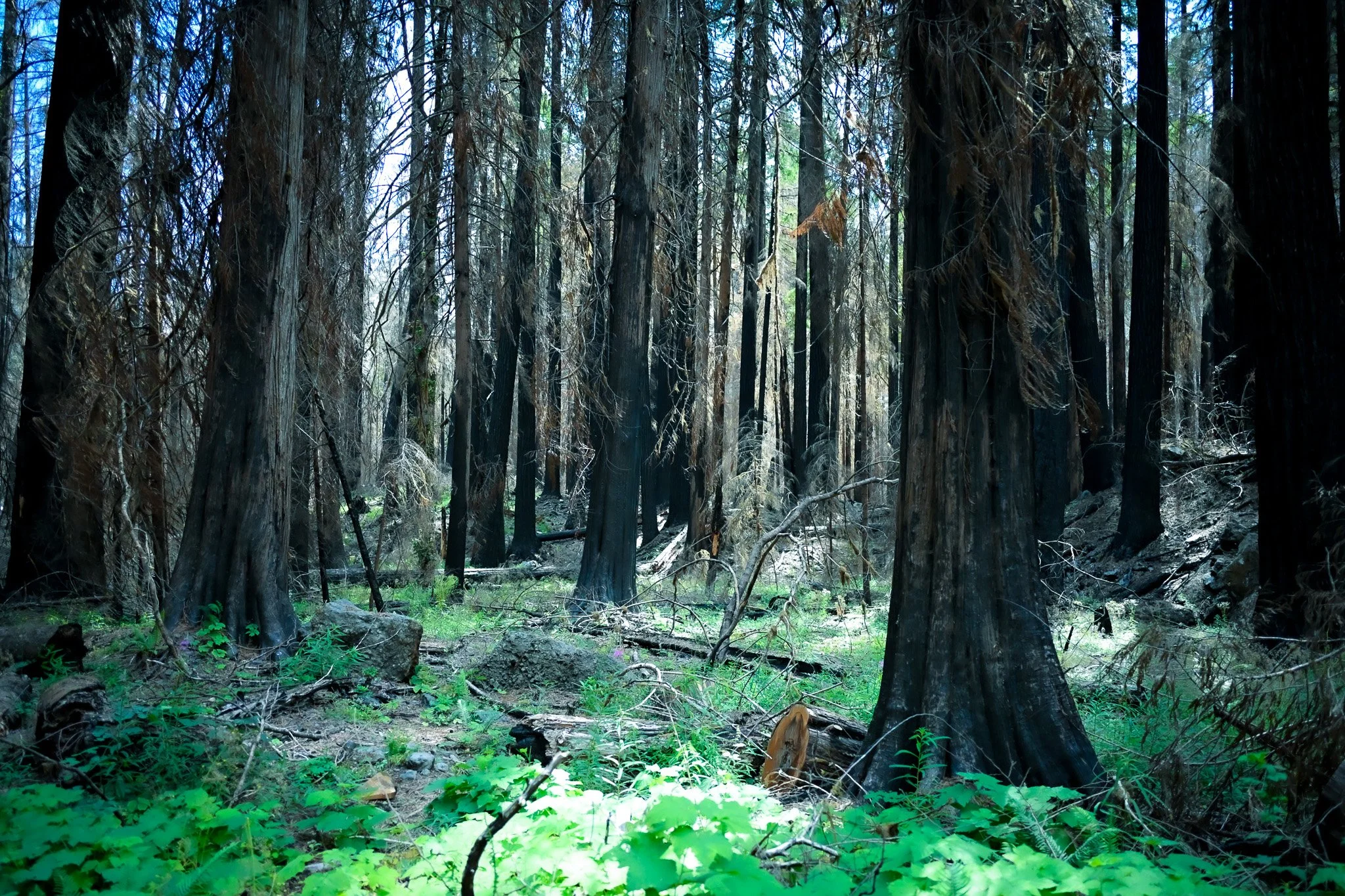
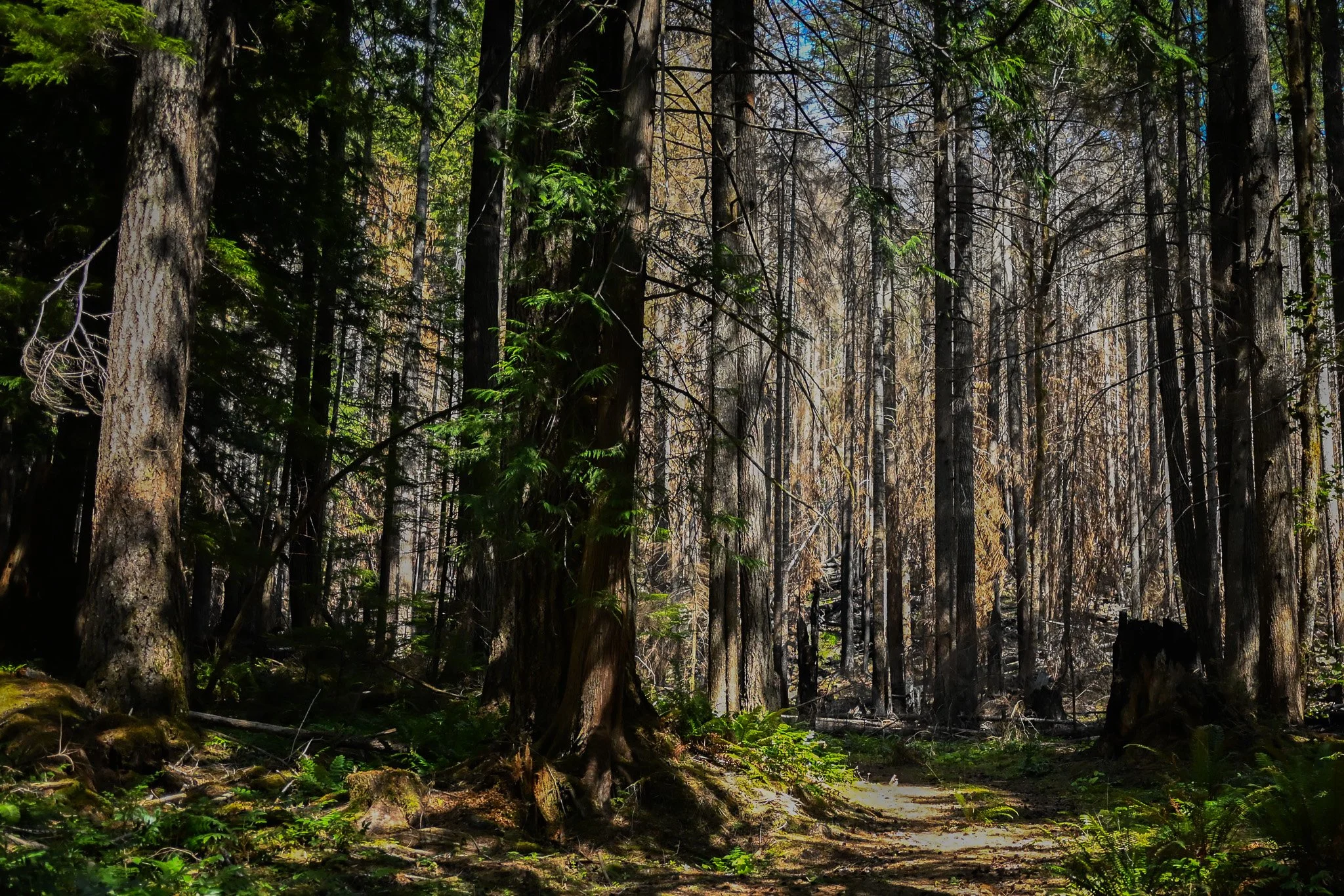
Green. A fern unfurling beside a burned stump. Flowers blooming in newly opened sunlight. Birds moving through branches overhead. And perhaps most fascinating are the places the fire simply missed. Fire does not move through a forest like a paint roller. It skips, turns and changes intensity with wind, moisture, slope and fuel. One patch can be scorched while another nearby remains green. The result is a mosaic—black, brown and every imaginable shade of green.
It looks chaotic to us. To a forest, it is an ancient pattern.
We tend to think of the Olympic Peninsula as a place defined by water: moss-draped trees, swollen rivers, dripping ferns and forests so green they almost glow. But fire has been part of this landscape for thousands of years.
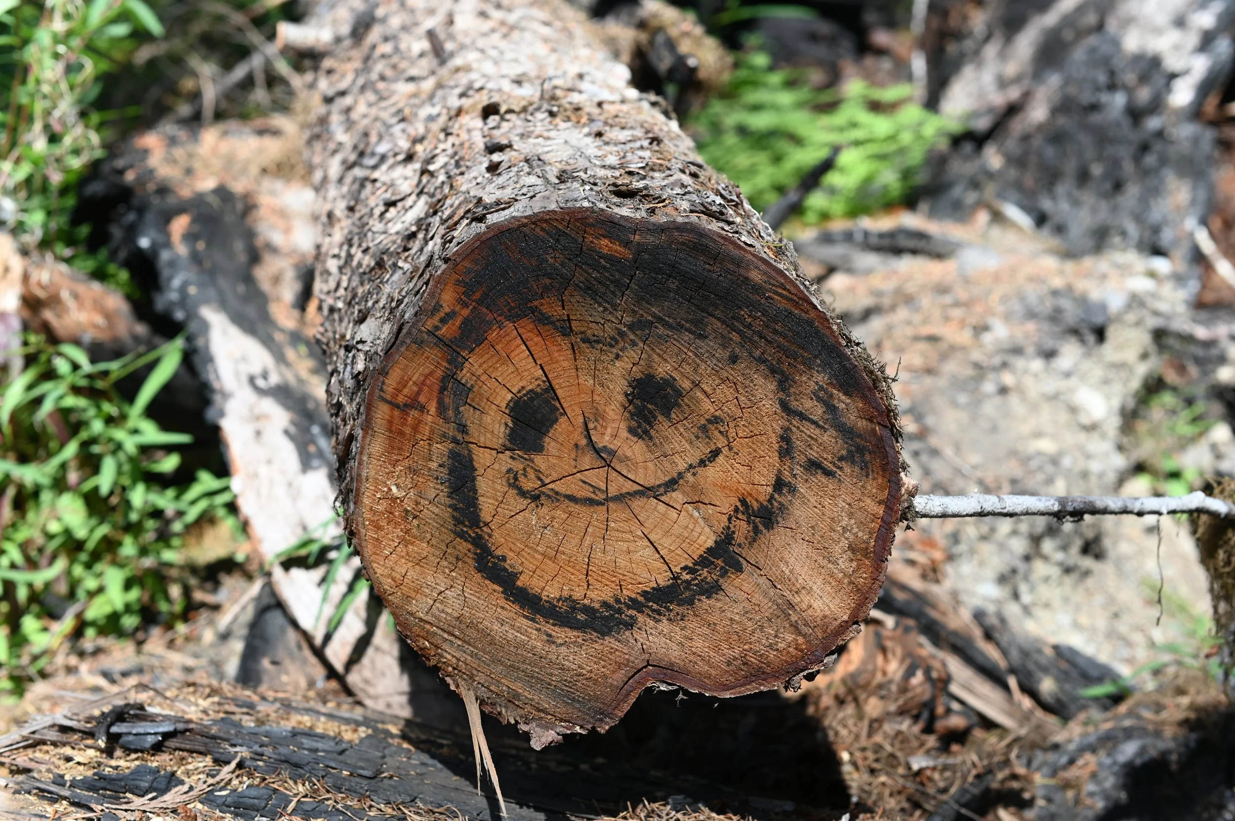
Scientists find its history in charcoal, tree rings, fire scars and the ages of forest stands. Evidence suggests enormous portions of the north, east and south Olympic Peninsula burned during major fire episodes roughly 300 to 500 years ago, with another cycle affecting many eastern watersheds about 250 years ago. Some of the forests we now consider timeless wilderness grew from those fires. Walk through parts of the Elwha and Morse Creek drainages, for example, and relatively young stands of Douglas-fir reveal the outlines of burns that occurred generations ago.
The Olympics have always lived on a rhythm far longer than our own. On the wetter western side of the peninsula, centuries may pass between major fires. On the drier eastern and southern slopes, fire has historically returned more frequently. Douglas-fir, with its thick protective bark, is particularly well suited to this relationship.
Fire opens the canopy and sunlight reaches into places that may have been shaded for decades. Nutrients locked inside vegetation return to the soil.Shrubs, grasses and wildflowers move into newly opened spaces. Eventually young trees follow. What looks at first like an ending is also succession.
Not every fire is beneficial, of course. Human-caused wildfires are preventable, and the Bear Gulch Fire brought real costs—to wildlife habitat, recreation, park infrastructure, firefighting resources and the people and businesses connected to this corner of the peninsula. We should learn from it. But we can also recognize that the forest knows what to do next.
Standing there among the burned trees, I kept thinking about a line from one of my favorite movies, Jurassic Park. Dr. Ian Malcolm, played by Jeff Goldblum, famously observes: “Life finds a way.” It certainly has at Staircase.
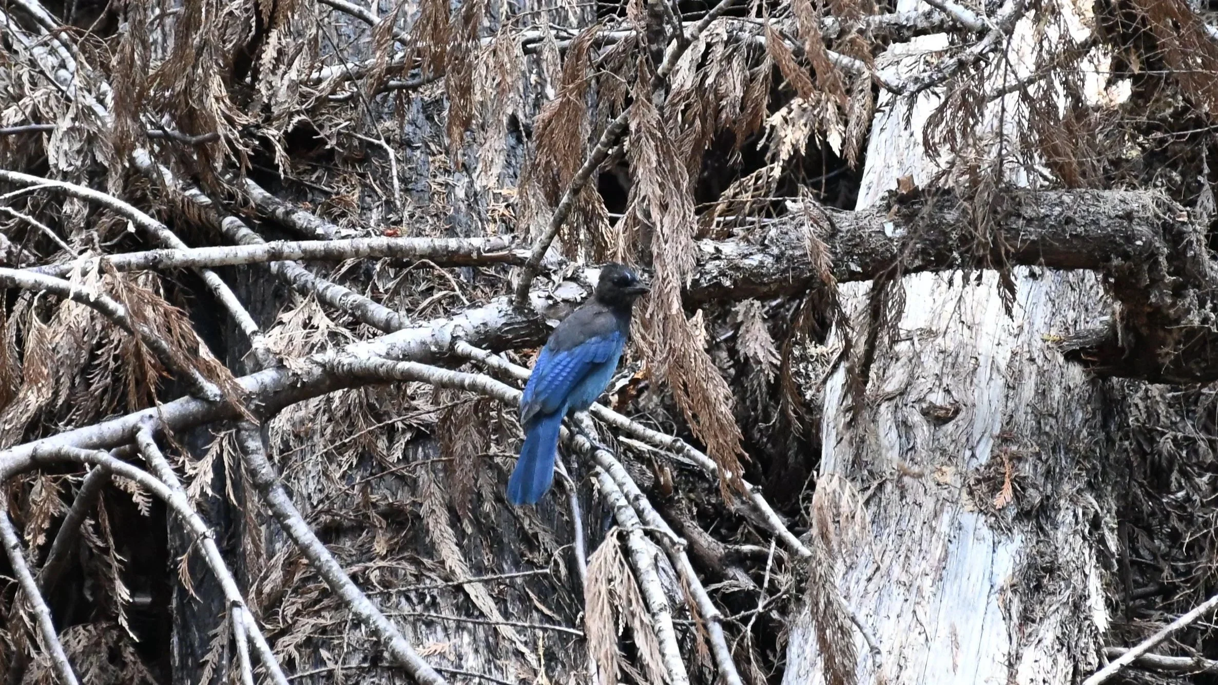
The more time I spent looking, the less the landscape seemed dead. It was busy. Birds called from the trees. Insects moved among flowers. New foliage crowded around old trunks. Plants took advantage of patches of sunlight that hadn't touched the forest floor in years.
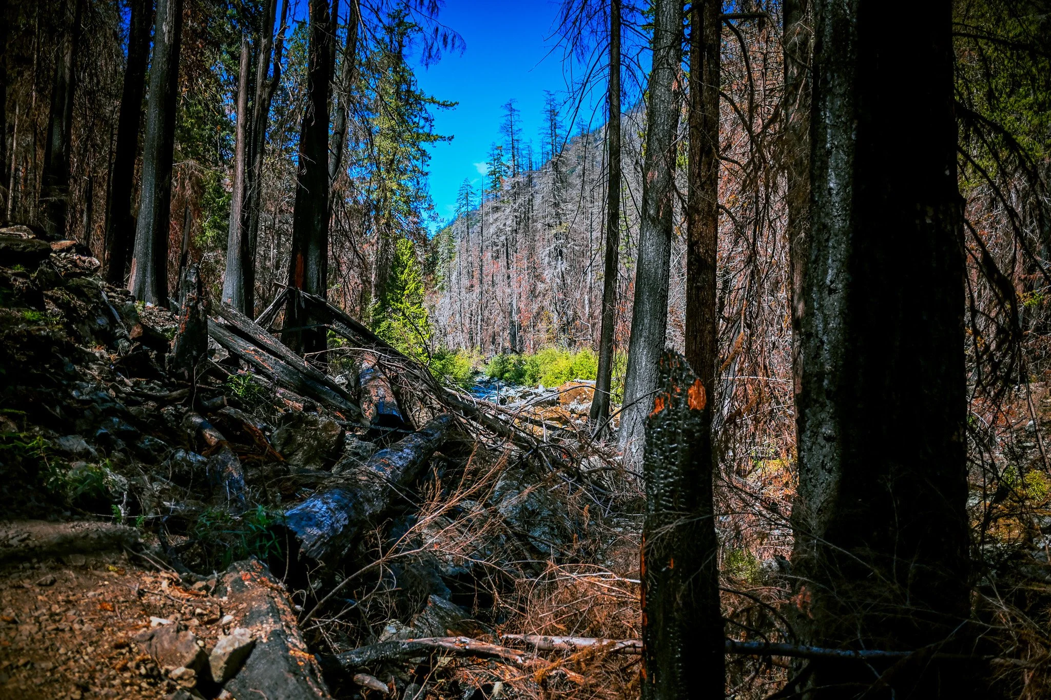
Even the surviving trees seemed more remarkable because of what surrounded them. A burned landscape makes you pay attention and look at the forest not as a finished picture, but as a process.
“It would be easy to mourn what Staircase looked like before the Bear Gulch Fire. And there is nothing wrong with doing that. But forests aren't museums. They don't stay frozen in the version we first fell in love with. They flood. Trees fall. Rivers change course. Windstorms open the canopy. Fire arrives. And the forest responds.”
Thanks to the extraordinary work of firefighters, park employees, road crews and many partner agencies, visitors can once again drive to Staircase, stop at the ranger station, cross the bridge over that astonishingly clear North Fork Skokomish River and walk beneath the towering trees.
Some of those trees are green. Some are black. Some are gone altogether. And beneath them, the next forest has already begun. Perhaps that is the reason to visit Staircase now. Not despite the fire. Because this is a rare opportunity to watch one of the oldest stories in the Pacific Northwest unfold in real time.
Come back next summer and it will be different. Come back in five years and shrubs and young trees will have changed the view again. Bring your grandchildren decades from now and the forest they walk through may bear little resemblance to the one we see today.
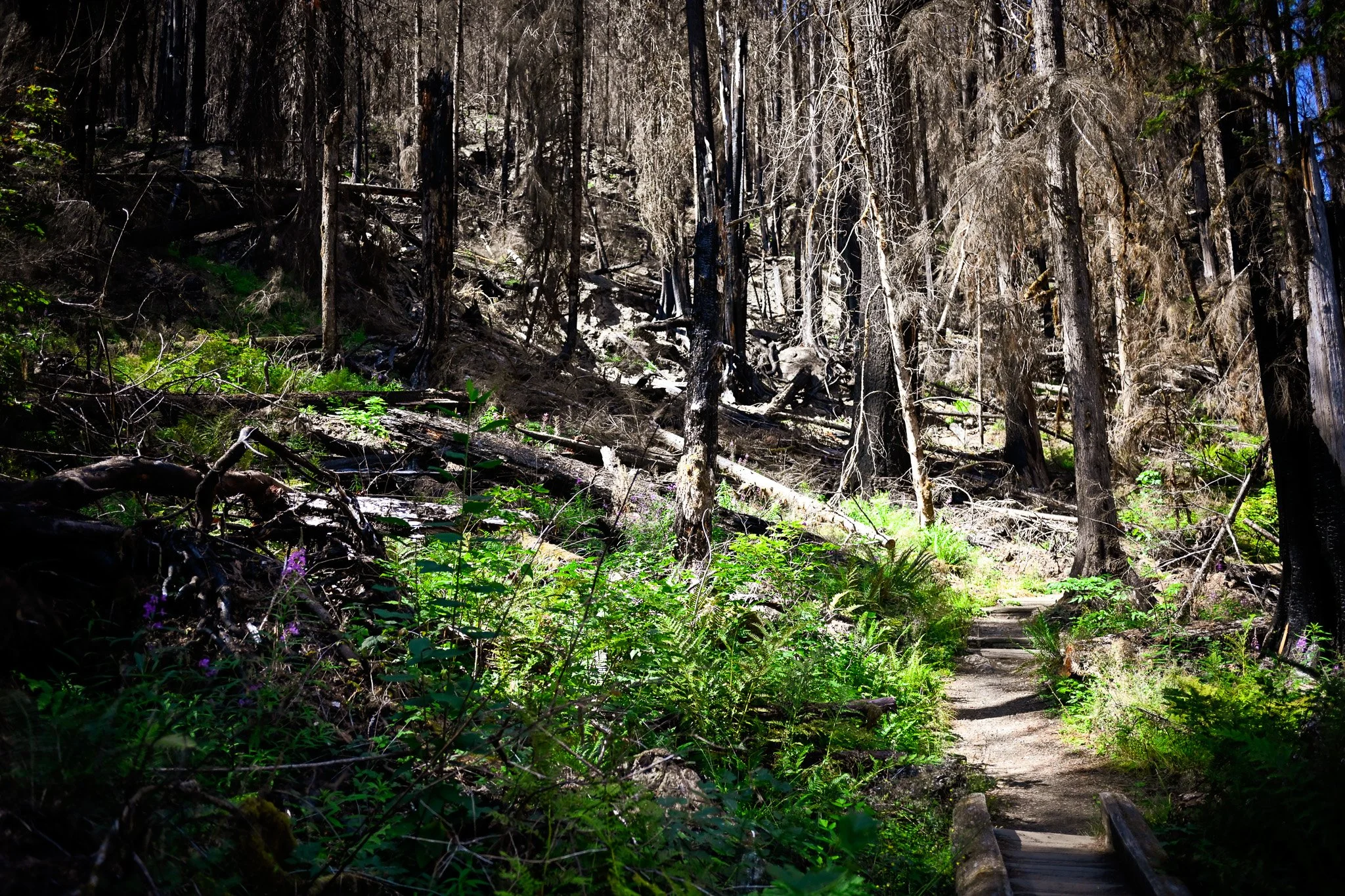
The blackened giants will eventually fall. New trees will rise among them. The scars will soften beneath moss, fern and salal. And somewhere beneath all that green, charcoal will remain in the soil—the quiet signature of the Bear Gulch Fire of 2025. A reminder that a forest is never really finished. It is always becoming.
Crossing the Bar - McMicken Island
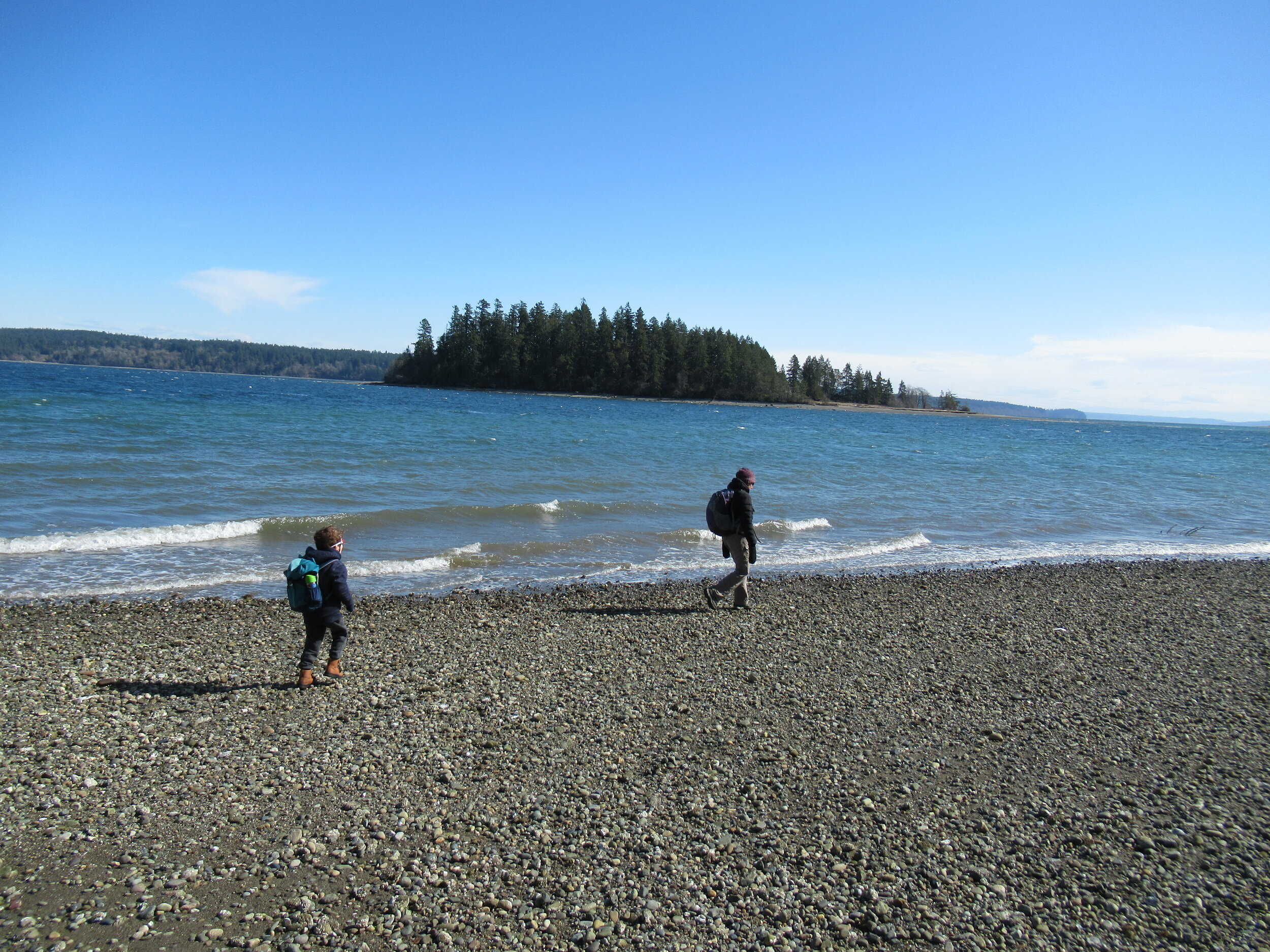
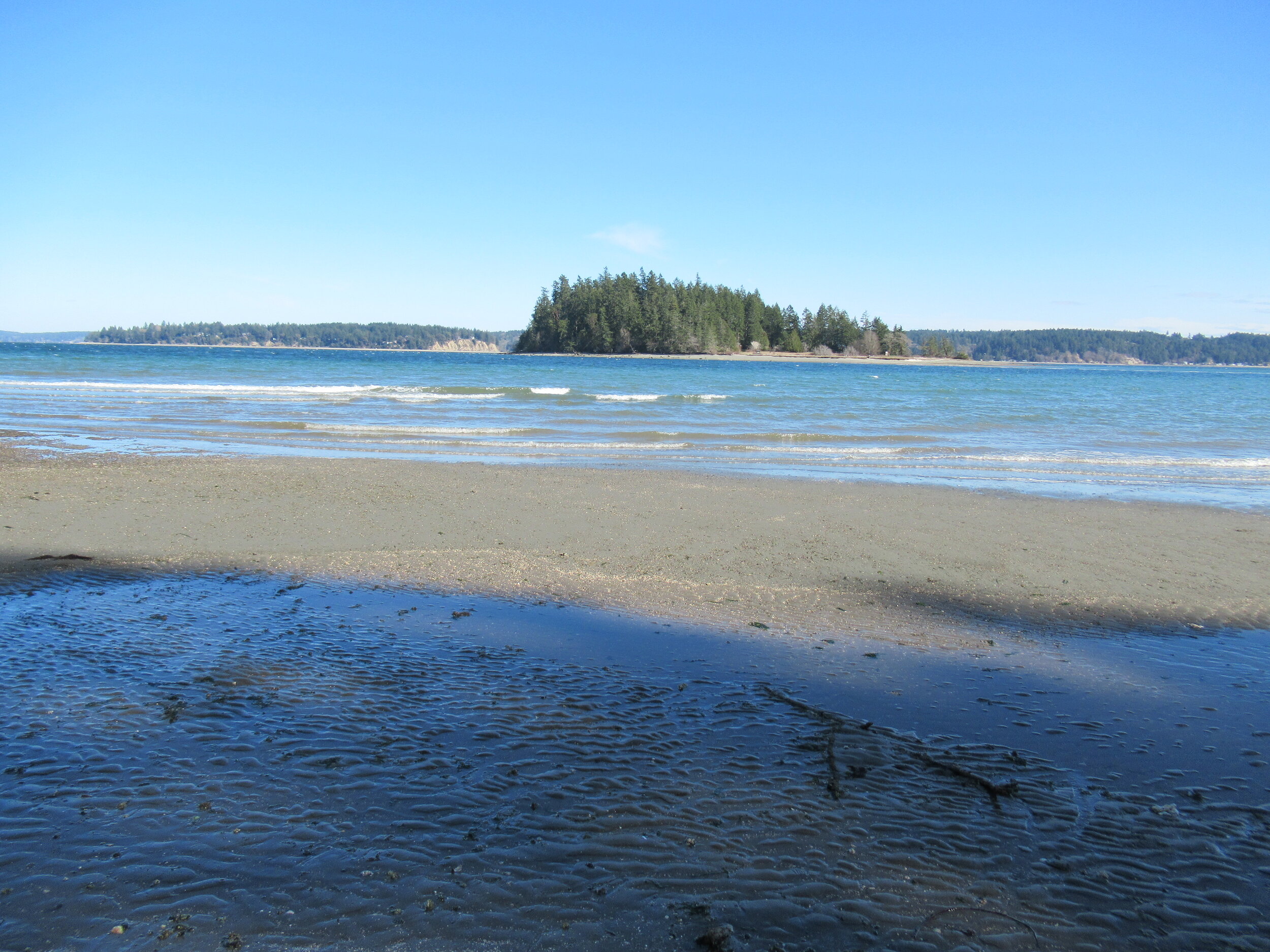
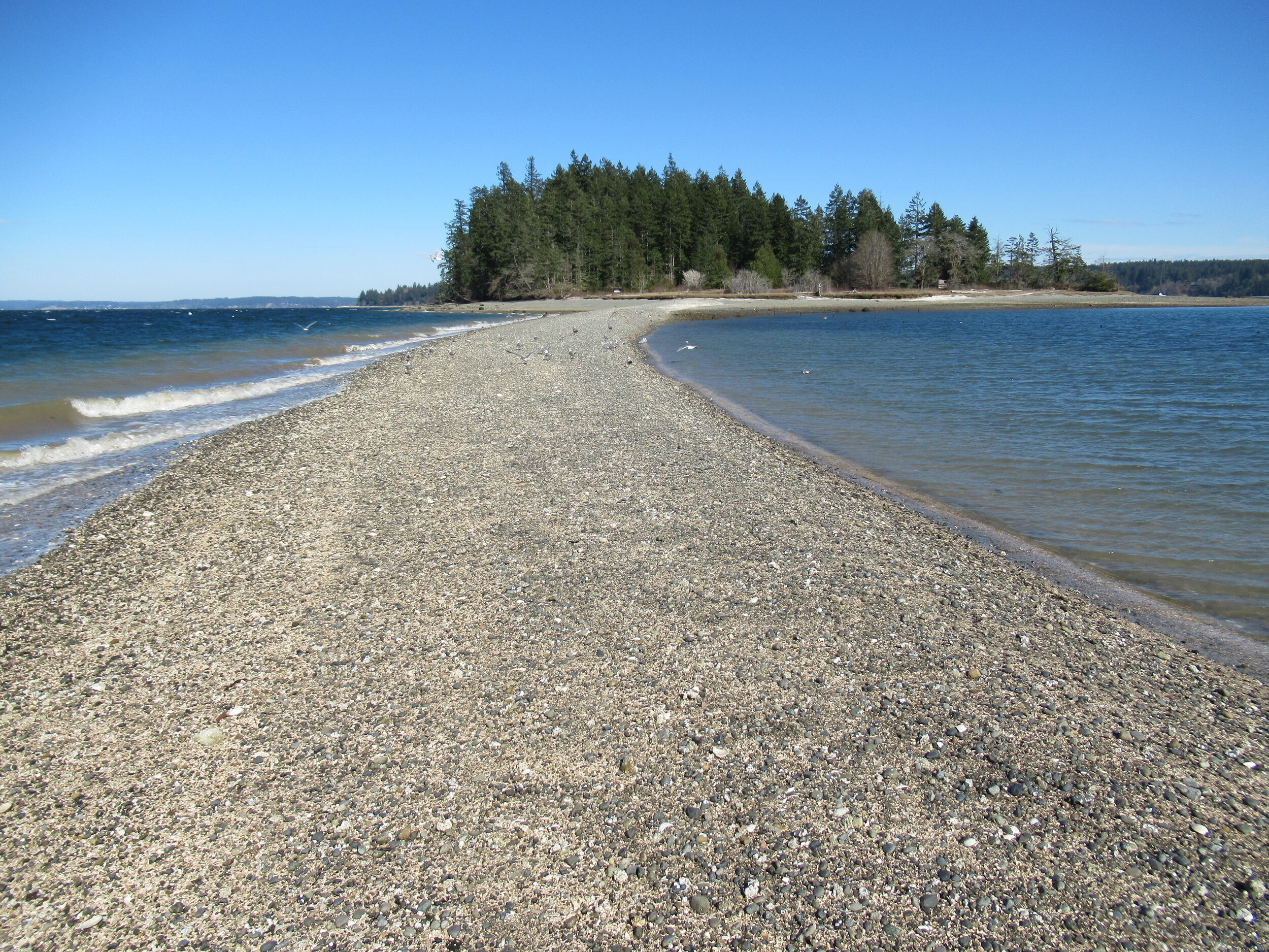
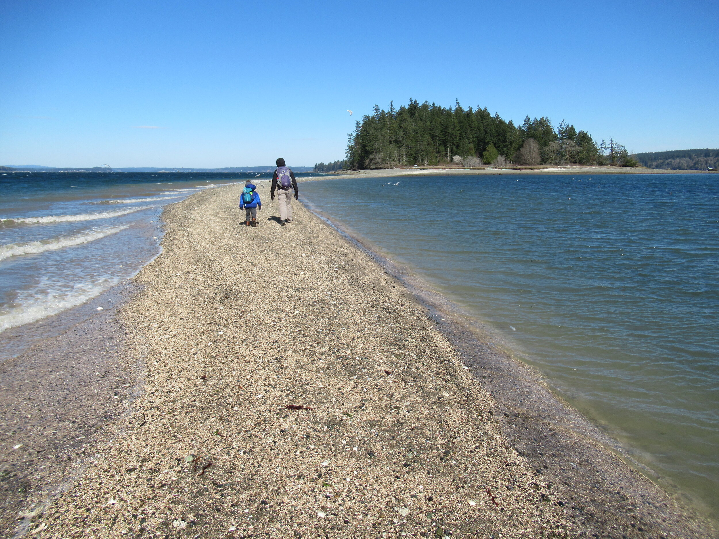
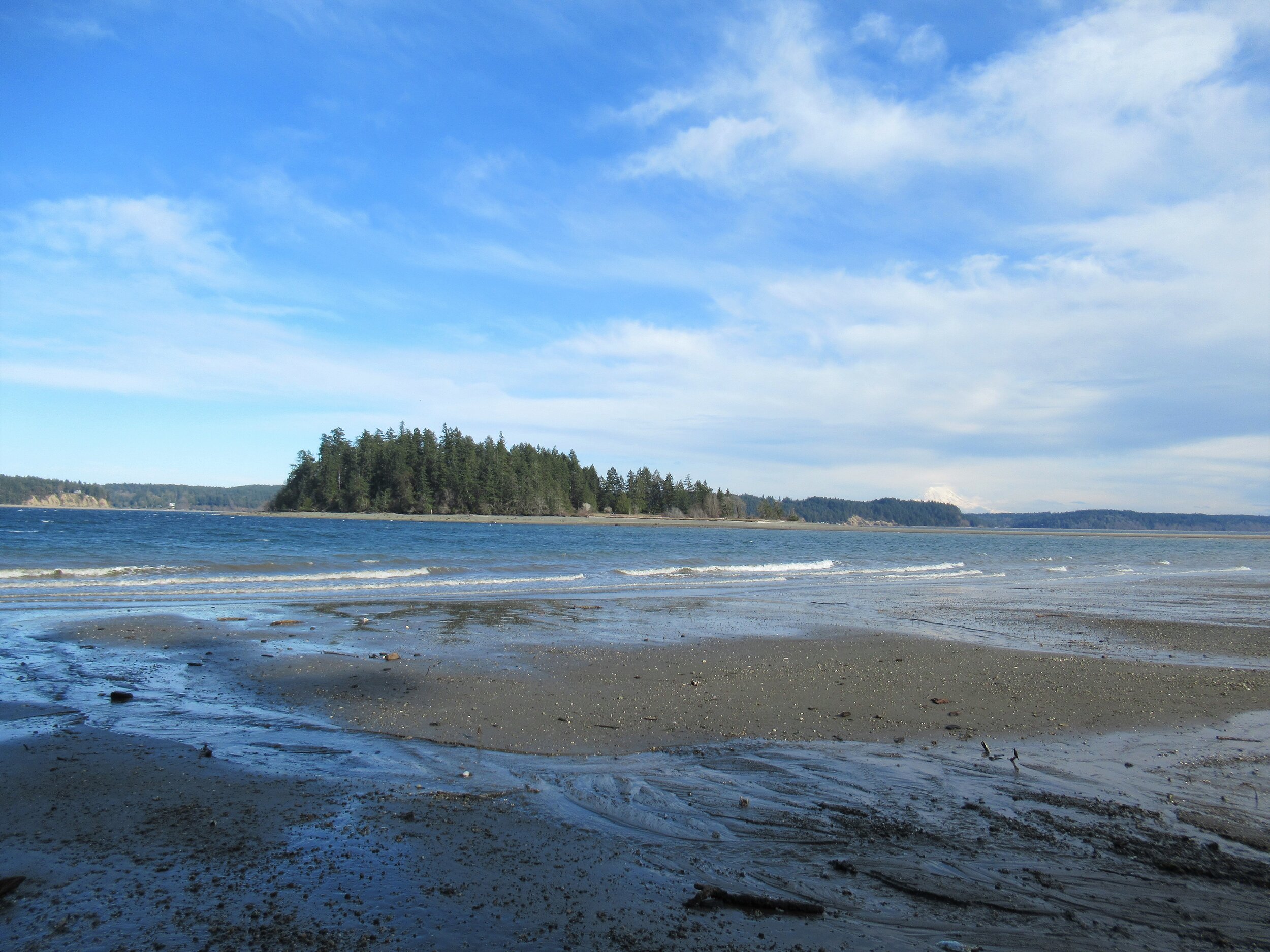
There are no bridges or causeways to little McMicken Island in Case Inlet. No ferry service either. But you don’t need a kayak or boat to visit. You can easily hike to this island which lies about 0.2 mile off of the eastern shore of Harstine Island. It’s all in the timing.
Craig Romano | Story & images
There are no bridges or causeways to little McMicken Island in Case Inlet. No ferry service either. But you don’t need a kayak or boat to visit. You can easily hike to this island which lies about 0.2 mile off of the eastern shore of Harstine Island. It’s all in the timing.

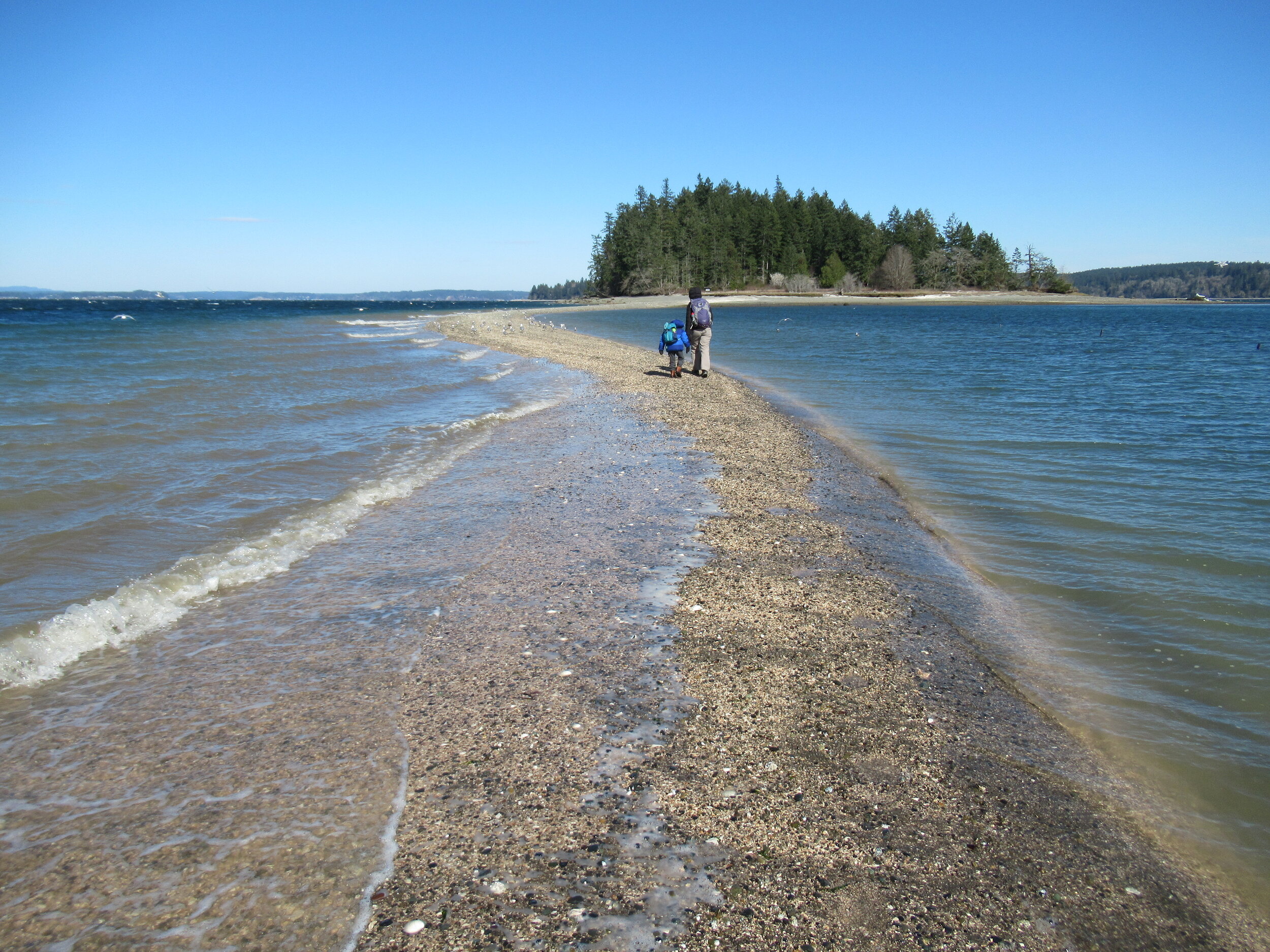
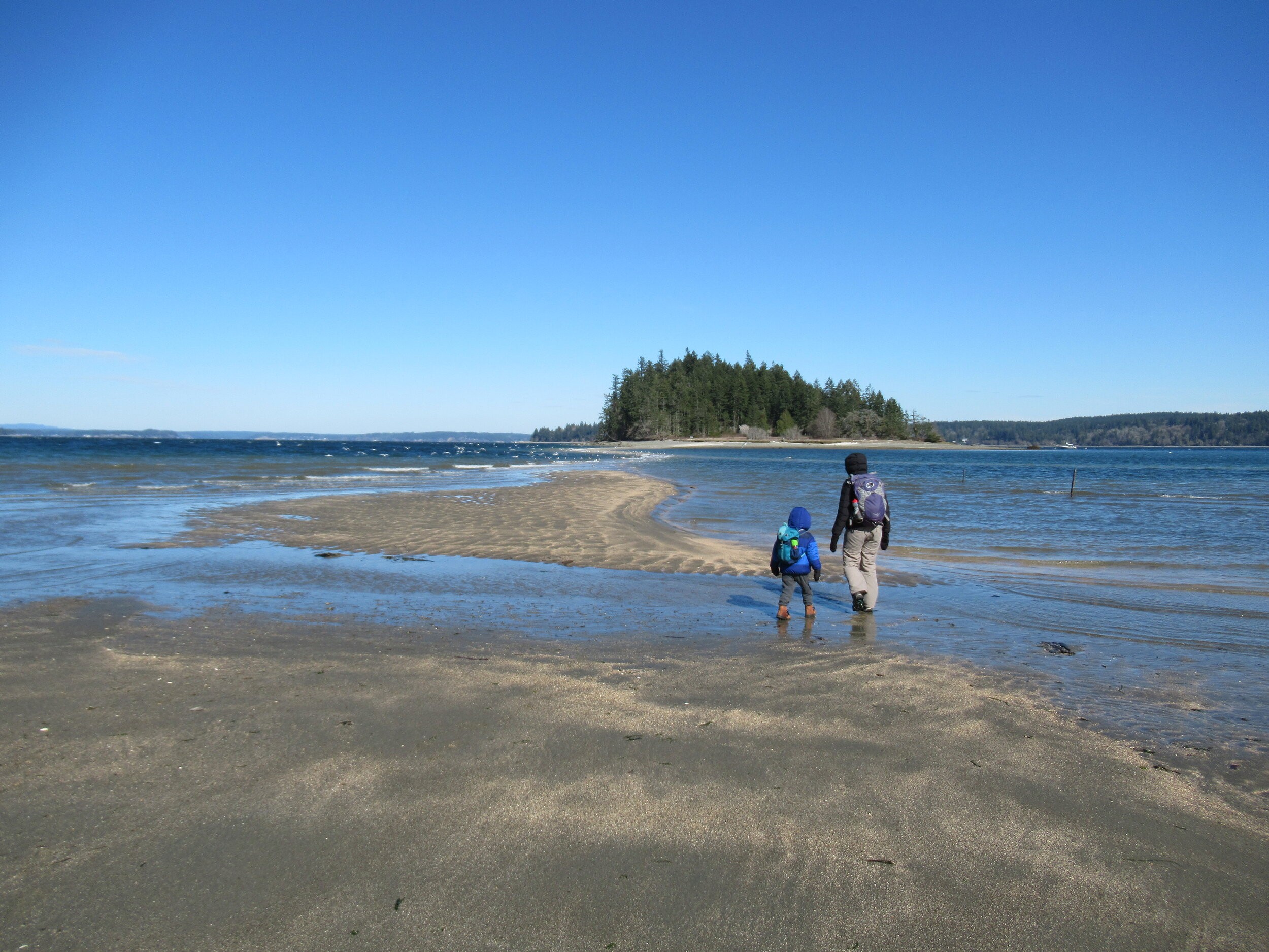
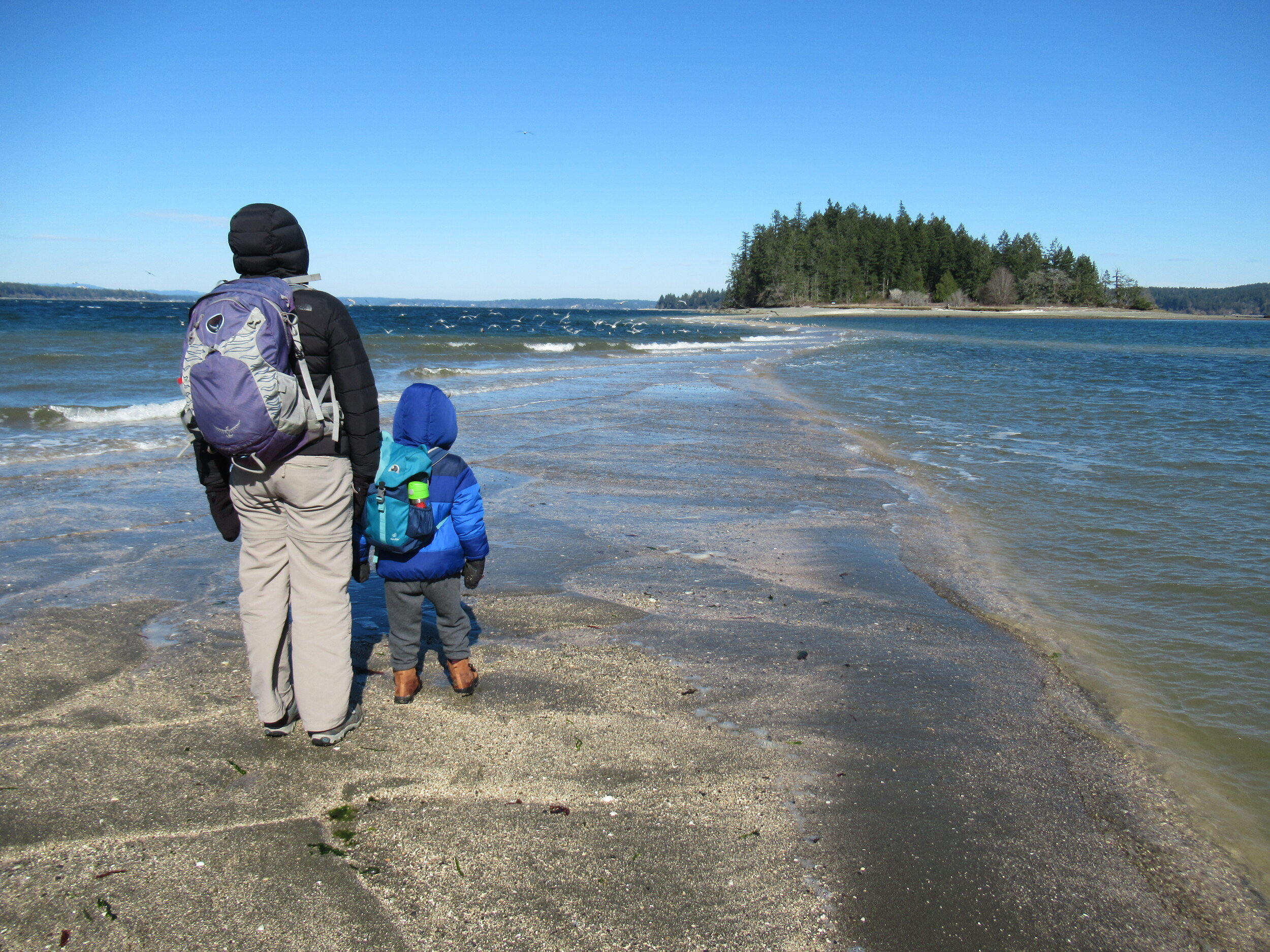
When the tide is low, a tombolo (a sandbar connecting the island to the mainland—or in this case another island) is exposed allowing you dry foot access to the island. You then can hike the island’s small half mile trail, picnic in its small meadow, or explore big barnacle-encrusted rocks in its intertidal zone. Just mind the incoming tide lest you make a big splash on your island exodus.


Hit the Trail
The hike to little 11.5 acre McMicken Island begins from the 300-acre Harstine Island State Park. A former Washington DNR property, most of the old timber was logged off, but small groves of old-growth remains on the property.
You want to head to the park’s beach reachable by the two trails taking off south from the parking lot. Take the one on the eastern end of the lot (away from the kiosk) for the more direct route.
The trail heads towards Case Inlet soon reaching the edge of a 100 foot high forested bluff. Continue along the bluff taking in glimpses of the remote beach below. The way then descends into a cool and dark ravine graced with big cedars and firs and reaches a junction.
The trail to the right loops back to the other main trail leaving the parking lot. Consider taking it upon your return from McMicken Island.
Head left through a row of big cedars and via a series of steps descend deeper into the ravine. After crossing a little creek the way emerges on a deserted beach. Look directly across Case Inlet to Herron Island and the Key Peninsula. Then look south and spot McMicken Island set against a backdrop of big beautiful Mount Rainier. If the tide is high, you’ll have to wait to hike the beach as overhanging trees prohibit passage. But in a low tide, a big wide easy to walk beach awaits your footprints.
Walk for more than a mile undulating between cobbles, mud and sand. Watch for sand dollars scatted across the tide flats. Look too for eagles, herons and a myriad of seabirds. Harstine is a wet place and plenty of side creeks fan out on the beach. You should be able to keep your shoes dry, but a pair of waterproof boots is not a bad idea. The entire way to the tombolo is on public tidelands. But there is a parcel of private property located between two large state park properties abutting the shoreline. Respect posted private property.
The tombolo is pretty distinctive in low tides—fairly wide and several feet raised above inlet waters. In high tides it’s completely submerged, although breakers will help you locate its position. It’s really fun to hike it when a receding tide first reveals it. Tap your inner Moses and part the seas watching the land bridge emerge as you amble along it.
Reaching the island
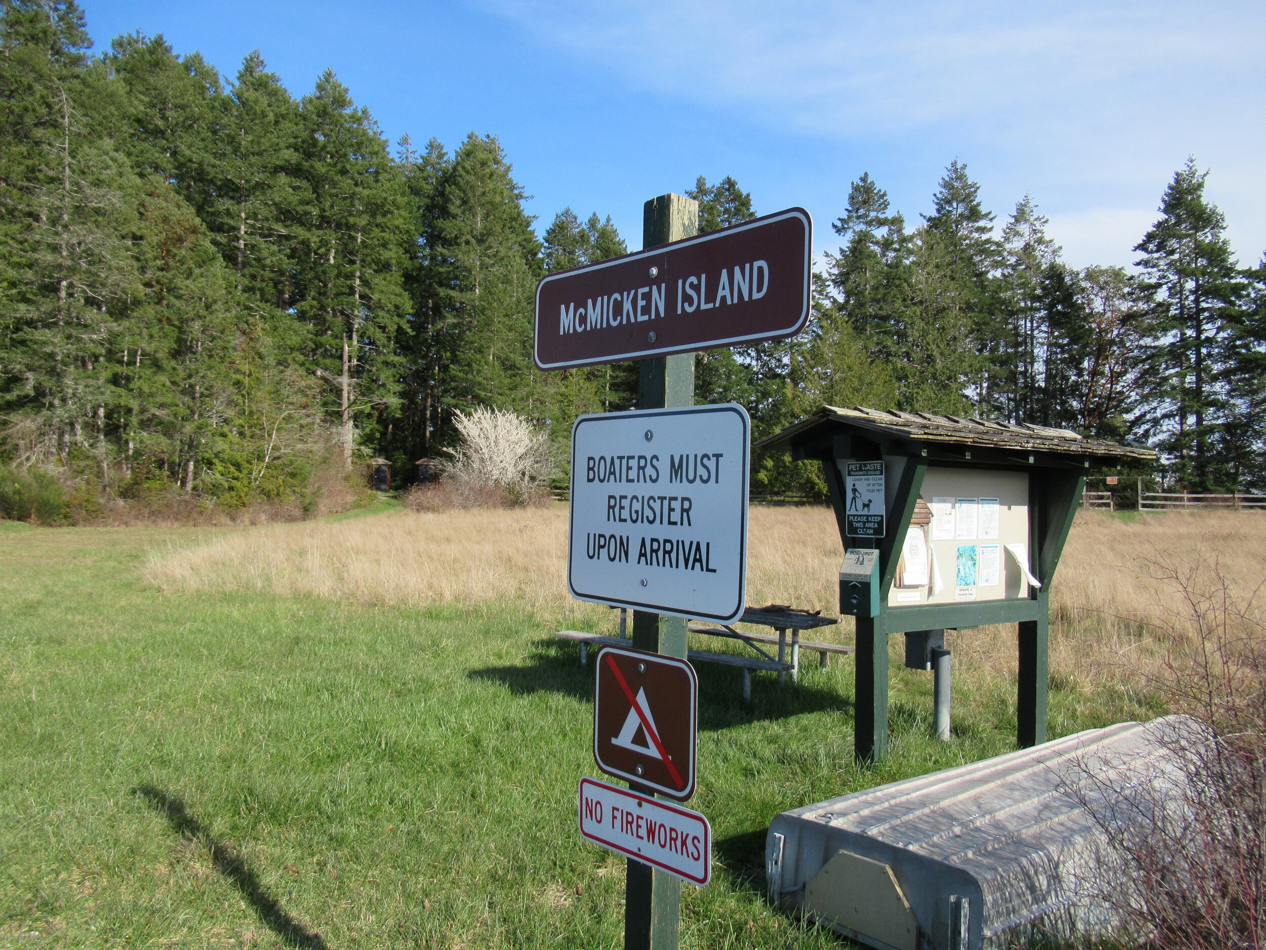
Once across the .2 mile sandy strip, reach McMicken Island. All of the little island except for a small fenced parcel with a couple of cabins is state park property. The private holding belongs to the family that once owned the entire island. They sold the island to the state withholding this small lot. Please keep out of it. The rest of the island however you are free to explore.
At the island’s western end is a small picnic area in a grassy opening. Here find some rare Garry oaks growing on a low bluff above the surf. Near a composting toilet at the eastern edge of the field is a small nature trail. Hike it! It weaves a half mile through towering firs and madronas to blufftop views on the eastern end of the island.
Be sure to explore the rocky tide flats surrounding the island too, and check out the large erratics scattered about. There is a particularly large one on the south side of the island. Enjoy your island wanderings and explorations—more than likely sharing it with no more than just a couple of other happy hikers. And be sure to keep track of the time and incoming tide so you don’t get trapped on the island.

Places to Stay
Waterfront cabin located on Harstine Is with beach access and a panoramic view of the Puget Sound, Mt. Rainier and McMicken island. Check availability
Hike back to Harstine Island State Park and call it a day or consider walking some more. The park contains three miles of trails. They traverse thick fir forests and swampy cedar groves and are family and dog-friendly.
McMicken Island Notes:

Forest Setting with Beach Access
Cross the bridge to Harstine Is. and enjoy a beautiful and quiet retreat in the woods. Relax in the comfortably furnished cabin or enjoy exploring the 5 acre property with meandering trails through a lovely forest. Check availability
Distance: 4.0 miles round trip
Difficulty: easy, pay attention to tides! Hike is only possible in low tides. Consult tide tables and plan accordingly. Dogs permitted on leash.
Trailhead Pass Needed: Discover Pass
GPS Waypoints: Harstine Island State Park Trailhead: N47 15.737 W122 52.236 McMicken Island Trailhead: N47 14.865 W122 51.780
Features: Kid and dog friendly, beach hiking, undeveloped coastline, small island reached via a sandbar, good bird watching, sublime views of Mount Rainier over Case Inlet.
Trailhead directions: From Olympia, head north on US 101 to Olympic Highway (SR 3) Exit in Shelton. Then turn and follow SR 3 east for 11.0 miles. Turn right onto Pickering Road (Signed for Harstine Island) and drive 3.3 miles. Then bear left onto Harstine Bridge Road and come to a T-junction upon entering Harstine Island. Go left on North Island Drive and after 3.0 miles turn right at the island community hall onto East Harstine Island Road. Proceed for one mile and turn left onto Yates Road. Continue 0.9 mile and turn right into Harstine Island State Park. Reach trailhead parking in 0.2 mile.

5 amazing hikes around Hood Canal
Craig Romano has outlined 25 great hiking destinations for us on Hood Canal — Here’s five to get you started!
Award winning local guidebook author, Craig Romano, shared 25 of his top area hikes with us in a handy “stuff-in-your-glovebox guide,” here are a few of the many hikes that are open and awaiting your adventure! Welcome to the #wildsideWA.
Tighten your laces!

1. Murhut Falls
(Olympic National Forest)
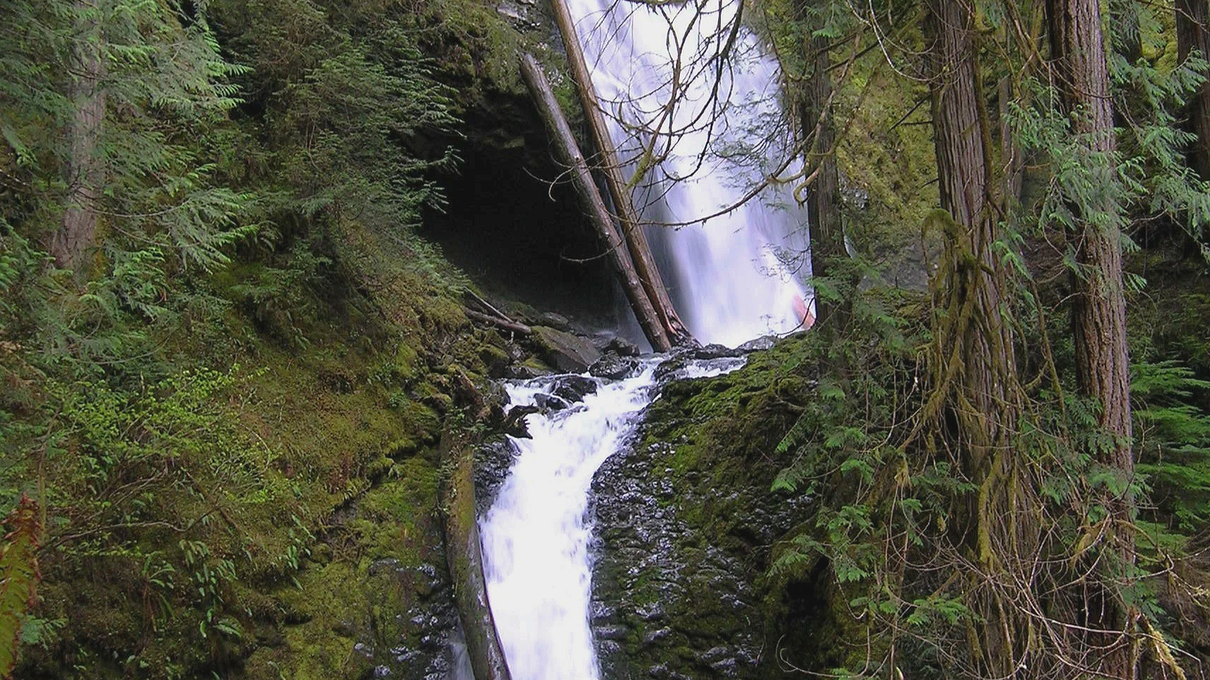
Hidden in a lush narrow ravine, Murhut Falls were long unknown to many in the outside world. But all that changed upon the construction of a well-built and easy to hike trail. This two-tiered waterfall that plummets 130 feet has become a favorite cascade for many Olympic Peninsula hikers. The trail starts by following an old well-graded logging road. As you work your way toward the falls, its roar will signal that you’re getting closer. Reach the trail’s end and behold the impressive falls crashing before you. The upper falls drops more than 100 feet while the lower one crashes about 30 feet.
Difficulty: Easy, 300 feet elevation gain, 1.6 miles
Permits: Not required
Kid and Dog Friendly: Yes
2. DuckabusH River trail
(Olympic National Forest)
The Duckabush River starts in the heart of the Olympic Mountains and flows through a deep verdant valley on its way to Hood Canal. Duckabush River Trail travels near and along the river for more than 20 miles terminating at Marmot Lake in the heart of Olympic National Park. At a little over 3 miles you will come to a ledge with a spectacular view east down the river valley. On a clear day you can see all the way to the Cascades.
Highlights: Old-growth forest, low elevation wilderness valley, backpacking opportunities
Distance: Moderate, 10.6 miles R/T Elevation gain: 2150 feet
Permits: NW Forest Pass /Interagency Pass
Kid & Dog Friendly: Yes

Duckabush River
3. LENA LAKES TRAIL
(OLYMPIC NATIONAL FOREST & PARK)

With all the fire activity this iconic trail system remains far removed from the bustle. The Lena Lakes are located above the Hamma Hamma valley. Despite having the same name, the two lakes have distinct differences. The lower lake is a simple, family and pet-friendly walk through old, tall trees in Olympic National Forest. The upper lake is a tough climb to a beautiful high area in Olympic National Park. The lower lake can be busy with hikers on a summer Saturday while the upper lake offers more solitude. Access to both lakes is the same.
Highlights: Old-growth forest, water!
Distance: Lower: 6 miles R/T; Upper: 14 miles R/T
Elevation gain: Lower: 1225 feet; Upper : 4100 feet
Difficulty: Lower Lake: moderate; Upper Lake: strenuous Permits: Northwest Forest or Interagency Pass
Hiking Season: Lower Lake: March to Dec; Upper Lake: July to November
Notes: Camping (no fires) at Upper Lake requires National Park Wilderness Camping Permit (contact Olympic National Park, Wilderness Information Center (360) 565-3100)
Kid-Friendly: Yes Lower Lake; no Upper Lake Dog-Friendly: yes Lower Lake; prohibited Upper Lake

4. spider lake
(Olympic National Forest)
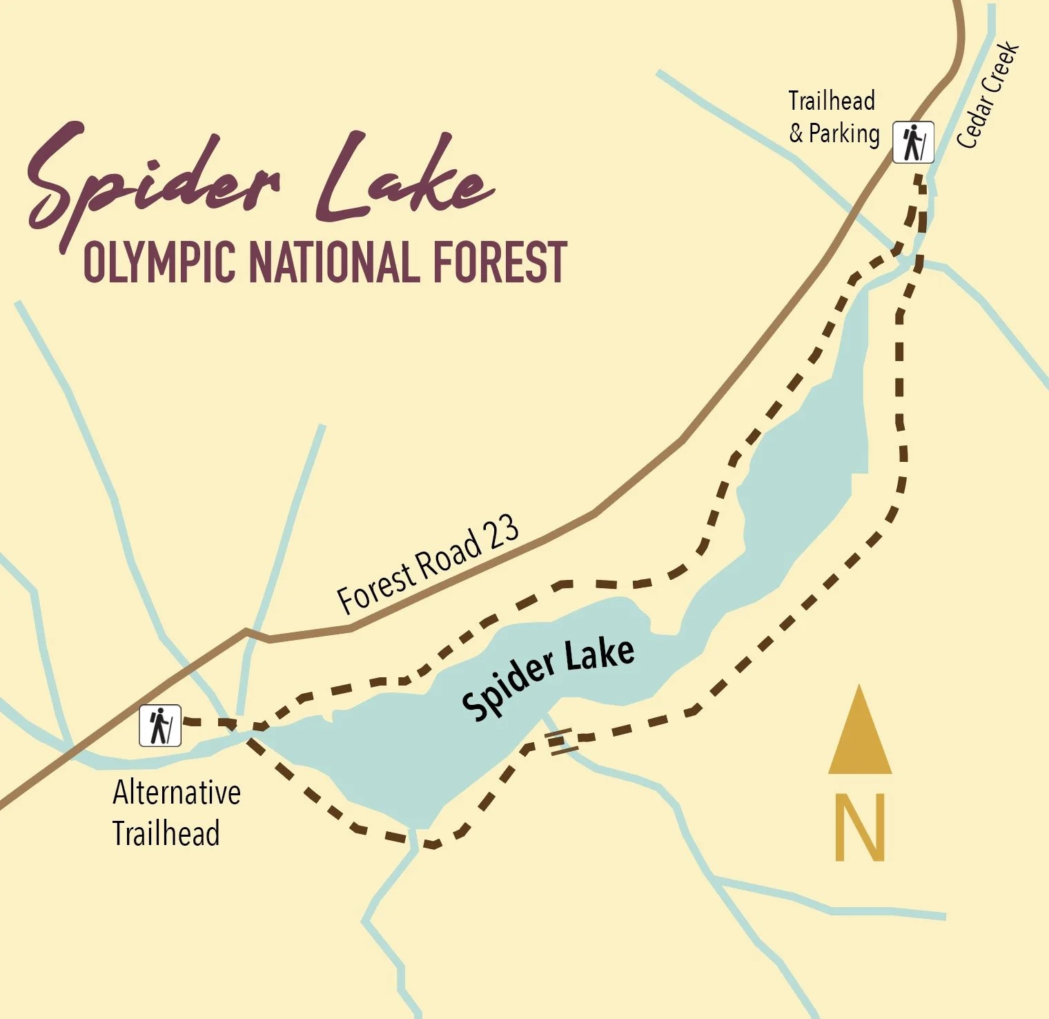
A long slender lake tucked within a narrow valley on the Skokomish–Satsop River divide, Spider is graced with groves of ancient giant old-growth forest. The trail around the lake is a remnant of a longer trail that once traversed miles of primeval trees. Most of those trees have since been logged, and the trail truncated to the lake. The remaining trail has since been restored and the forests on the surrounding hillsides are regenerating nicely.
Highlights: Old-growth forest Distance: 2 mile R/T Difficulty: Easy Elevation gain: 250 feet
Permits: None
Kid and Dog Friendly: Yes

5. Schafer Forest Trail
(Schafer State Park)

Tucked along the East Fork Satsop River in extreme southwestern Mason County, Schafer State Park is off-the-beaten path. While this park is far from population centers, it was a thriving spot for many years. In 1872 the Schafer Family came from Wisconsin to homestead here. Three of their sons, Peter, Albert and Hubert begin logging the homestead in the 1890s. They donated this parcel to the state in 1924, and it continued to host many large company gatherings as well as other groups. Today the park is much quieter, but families still come here to gather. The park’s trails however tend to remain pretty peaceful.
Highlights: Historic homestead; trail along Satsop River; salmon spawning creek and estuary
Distance: 1.3 mile loop Elevation gain: 75 feet
Difficulty: Easy Permits: Discover Pass Kid & Dog Friendly: Yes

This is only a SMALL sampling of the amazing hikes available in the area! Check out the hikes link for a full list of places to explore, visit the waterfalls trail for a comprehensive list of year-round waterfall destinations — or pick up or download a copy of Romano’s Top 25 Hikes!
Head to the Mount Walker Summit
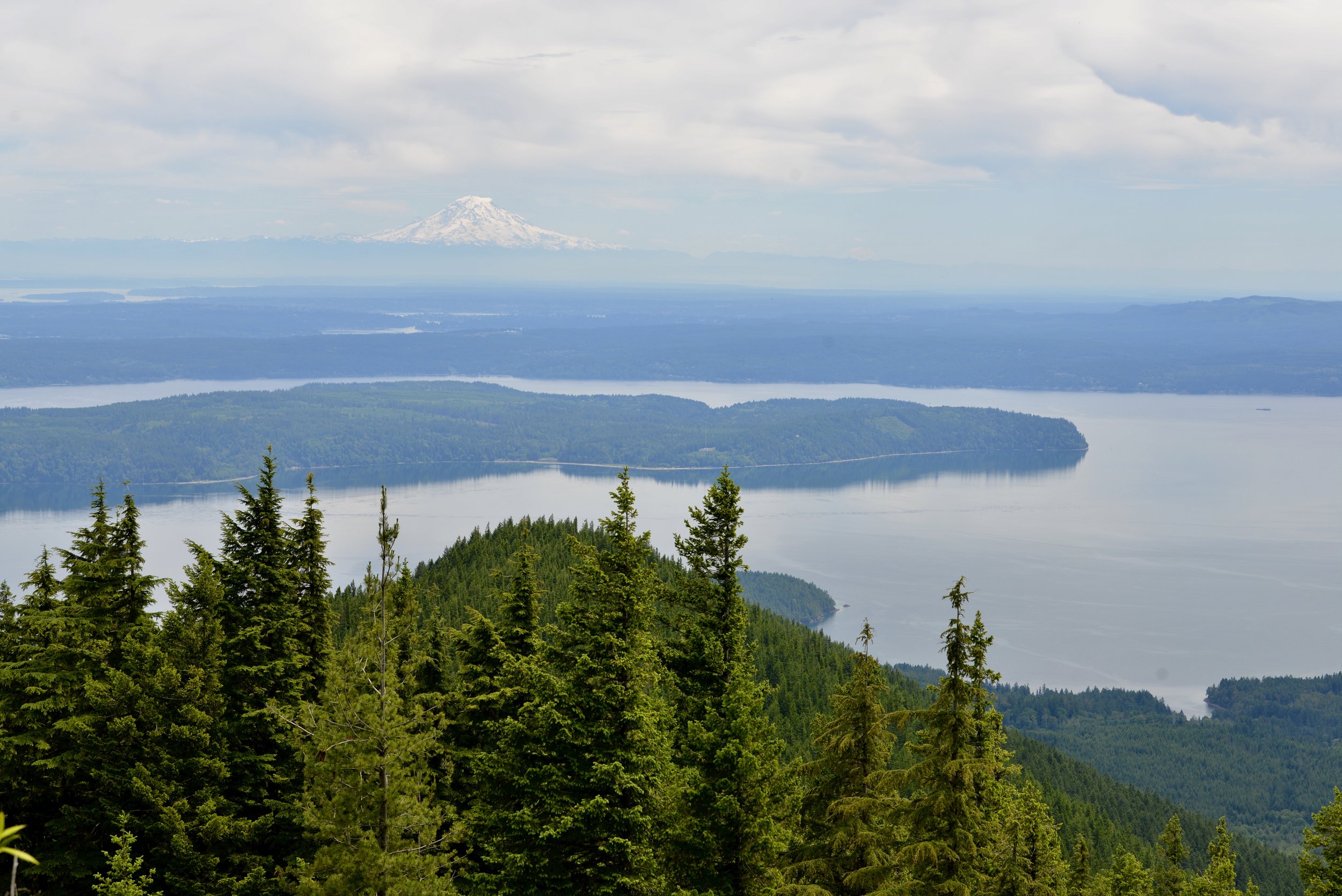
The Easternmost peak in the Olympic Mountains, Mount Walker offers a commanding view of Dabob Bay sparkling below and the Seattle skyline shimmering across Puget Sound. The close up of massive Mount Constance, the third highest peak in the Olympic Mountains is pretty darn impressive too. But the real joy to hiking this trail is ambling through its profuse clusters of rhododendrons. Hit the trail to Mount Walker in May or June for an ascent up a purple mountain majesty!
Craig Romano | story
The Easternmost peak in the Olympic Mountains, Mount Walker offers a commanding view of Dabob Bay sparkling below and the Seattle skyline shimmering across Puget Sound. The close up of massive Mount Constance, the third highest peak in the Olympic Mountains is pretty darn impressive too. But the real joy to hiking this trail is ambling through its profuse clusters of rhododendrons. Hit the trail to Mount Walker in May or June for an ascent up a purple mountain majesty!
Hit the Trail
While a dirt road winds four miles up the north and east side of Mount Walker allowing folks to drive to the views—hiking to them is far more rewarding. The trail ascends the mountain’s thickly forested west side far away from the road. But if the thought of busting your rump up a mountain only to be greeted by fresh-smelling folks who just popped out of their vehicle doesn’t appeal to you—then consider a hike up Walker when the road is gated and closed to vehicles. It’s also during that time that you can consider a loop hike by returning on the road.
On the rare occasions that snow accumulates on this low Olympic peak, the road makes for an excellent snowshoe or cross country ski route.
From the unimposing trailhead immediately begin climbing through a tunnel of rhododendrons under a uniform canopy of second-growth cedars and hemlocks. Washington’s state flower, the Pacific (or coast) rhododendron, grows in profusion along the steep dry slopes of Mount Walker. For much of the year the rhodies merely add a layer of dark green to the forest understory.

Pacific Rhododendron
But come late spring this hardy shrub begins to blossom, speckling the surrounding firs and hemlocks with rosy-purple bouquets. By June, vibrant violet bell-shaped blossoms ring throughout the emerald forest.
Interestingly, that although the Pacific Rhododendron is Washington’s state flower, it’s not very widespread in the Evergreen State. It primarily grows along the east slopes of the Olympics near Hood Canal, the Kitsap Peninsula and a few pockets on the western slopes of the Cascades.
It’s far more distributed in Oregon and grows profusely in the state’s southern Coastal Mountains as well as along California’s north coast. A clover, a flower more widespread in Washington, but not nearly as grand and showy as the rhododendron, almost became the state’s official flower back in 1892. But the rhodie overwhelmingly won the vote by thousands to represent Washington in the 1893 Chicago World’s Fair. It wasn’t until 1959 however when the state legislature made the rhodie officially the state’s flower. Mount Walker is one of the best places in Washington to appreciate this beautiful flower.

The trail climbs steeply. Occasionally take a break and look up to see if you can locate any of the old wire and insulators that once serviced a fire tower on the summit. After about 1.5 miles small ledges begin to break the monotony of the forest and tease with limited views. The grade then eases. Finally after 2 miles and nearly 2000 feet of climbing reach the North Summit viewpoint, which was the site of a fire lookout from 1931—1967.

Enjoy good but limited views west and north here. Then head to the South Summit (dogs must be leashed at the summits) by walking the graveled Summit Road for 0.4 mile to a picnic area and then following a 0.1 mile trail to a breathtaking panoramic view of Puget Sound.
Stare straight down to Quilcene Bay, Dabob Bay and the Toanodos Peninsula. Across the sparkling waters Green and Gold Mountains rise on the Kitsap Peninsula. Locate the Seattle skyline east of Kitsap. When clouds are absent or high in the sky, Mount Rainier adds a snowy backdrop to this beautiful scene. And if you’re here in June, the view will be framed with fragrant purple boughs.

Mount Walker
Distance: 5.0 miles roundtrip
Elevation Gain: 2050 feet
High Point: 2805 feet
Difficulty: difficult
Snow free: April—December
Trailhead Pass Needed: None
Notes: From November 1 until March 31 FR 2730 is gated. During this time park away from the gate near US 101 and walk .3 mile to the trailhead. Do not block the gate, park in the road, or block any private driveways.
GPS waypoints: Trailhead: N47 46.554 W122 54.854 | Summit picnic area: N47 47.100 W122 54.077
Features: Exceptional views of Hood Canal; historic fire tower site; one of the finest trails in the Olympics for rhododendron blooms
Land Agency Contact:
Olympic National Forest, Hood Canal Ranger District, Quilcene, (360) 765-2200, http://www.fs.usda.gov/olympic
Recommended Guidebook:
Day Hiking Olympic Peninsula 2nd edition (Romano, Mountaineers Books)
Trailhead directions:
From Shelton follow US 101 north for 47 miles. From Quilcene drive US 101 south for 5 miles) to just north of milepost 300. Turn right onto Mount Walker Road (FR 2730) and proceed 0.3 mile to the trailhead.
Guest Columnist:
Craig Romano
From forest ranger, to history teacher and now a full-time outdoor writer, Romano developed a love of the natural world growing up in rural New Hampshire. Romano has written more than 25 outdoor guide books including "Winter Hikes of Western Washington” (Mountaineers Books, 2009) and "Day Hiking Olympic Peninsula." He lives in Mt. Vernon with his wife and son.
When a Tree Falls in the Forest
Learn how to stay safe around trees while hiking or camping. Understand wind, weather, and tree hazards, recognize warning signs, and plan ahead for forest safety.
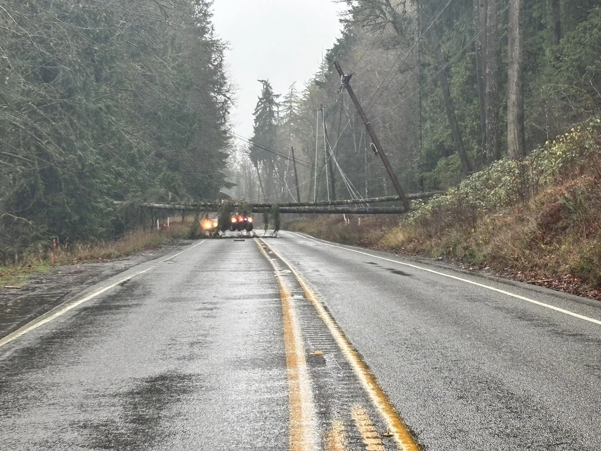
Trees are ever-present above us when visiting or camping in the forest. Yet, too often, we are unaware of the risks associated with trees. Trees and branches can fall at any time and at any location for lots of reasons, including weather, age, fire, damage and disease.
Avoid spending time in the forest on very windy days. If you are visiting a park on a windy day and hear trees and branches falling, leave the forest or go to an open area. Be aware of recent weather. Be particularly careful imme-diately following strong winds, heavy snowfall, or ice storm. Wind can break branches or uproot trees. Heavy snow and ice can weaken and break trees. Storm damage can take days to reveal itself and days or weeks to clean up. Avoid stopping to spend time under dead and unhealthy trees. Trees with missing needles or leaves, peeling bark, or missing limbs may be dead. Dead limbs and trees can fall without warning. Trees can have other defects that can cause them to fall such as internal rot, broken tops, weak branch connections, open cavities, or insect and disease activity. Not all defects are visible.
Be prepared and share your plans. Trees can fall and block roads or trails. Bring emergency supplies in case your adventure lasts longer than you planned.

A Guide to 25 Waterfalls from Canal to Coast and points between
Receiving hundreds of inches of rain annually, the Hoh, Quinault and Queets Rainforests are located on the coastal foothills of the Olympics, receiving 21+’ of snow and rain at its peaks! It’s no wonder there is a myriad of spectacular waterfalls lacing the area. Explore this sampling curated by celebrated guidebook author and avid hiker, Craig Romano. Some are small, secret, and unique, others are popular but magnificent. All are worth the journey!
When Craig Romano agreed to share with us a few of his favorite waterfalls in the Pacific Coastal region of Washington, we were frankly thrilled. If you’re looking for straight details on Northwest hikes and wilderness destinations — and fun facts - Craig is the guy to call.
Craig has written more than 20 hiking guidebooks including Day Hiking Olympic Peninsula 2nd Edition which includes details for popular and little known hikes across the Peninsula. An avid hiker, runner, paddler, and cyclist, Craig is currently working on Urban Trails Vancouver USA (2020); Backpacking Washington 2nd Edition (2021); and Day Hiking Central Cascades 2nd Edition (2022). He is also a featured columnist for the Fjord and Explore Hood Canal.

Enchanted Valley | Craig Romano photo
Why we are so keen about our falls?
As storms from the Pacific Ocean move across the peninsula, they crash into the Olympics and are forced to release moisture in the impact. Consequentially, the clouds release massive amounts of moisture (up to 170 inches annually) in the coastal side of the range – creating the “rain shadow effect.”
The massive rainfall has given life blood to the hanging mosses of the perpetually wet Northwest rainforests – Hoh and Quinault. On top the Olympic Mountains this moisture lands as snow frosting the peaks with as much as 35 feet each year.
Each spring the snow melts and creates icy run-off. Mix in a little more rainfall and the result is a spectacular waterfalls ring envelops the base of Olympic range.
Pacific coastal waterfalls are gorgeous year round but tend to be most spectacular in early spring or during the autumn rainy season.
Let’s go Chasing Waterfalls
1. Tumwater Falls
Olympia Metro | Located minutes from Olympia, Tumwater Falls is an iconic landmark near the state capital. These thundering multi-tiered showy falls along the Deschutes River are located within a 15-acre park created on land donated by the Olympia Brewing Company. Meander along manicured paths and saunter over foot bridges and under historic road bridges taking in a little history along with the sensational scenery.
At the base of the upper falls admire a replica of the famous bridge that once appeared on the labels of Olympia beer spanning the river above the lower falls. Walk trails along the gorge between the falls and admire deep pools, eddies and jumbled boulders. Take time to read the informative panels on Tumwater—Washington’s oldest permanent non-Native settlement on Puget Sound. Let’s Go!
2. Kennedy Creek Falls
Kamilche, South of Shelton | From its origin at Summit Lake in the Black Hills, Kennedy Creek flows just shy of 10 miles to Oyster Bay tumbling over a two-tiered waterfall along the way. Reaching these pretty falls involves a half day hike on a closed-to-vehicles logging road through patches of cuts and mature standing timber. Start walking across a recent cut. In about a mile reach a grove of mature timber and the Kennedy Creek Salmon Trail which opens in the fall for salmon viewing and field trips. Keep walking on the main road avoiding diverting roads. The route leaves state land for private timberland and rolls along. Take in decent views of the surrounding foothills. At 2.8 miles (just before crossing a creek) follow an obvious but unmarked trail to the right. This path can be muddy and slick during periods of heavy rainfall. The trail descends to a grove of big cedars, firs and yews—and the falls. Here Kennedy Creek tumbles over an ancient basalt flow. The upper falls are small but quite pretty. The lower falls are difficult to see as they tumble into a narrow chasm of columnar basalt. Let’s Go!
3. Vincent Creek Falls
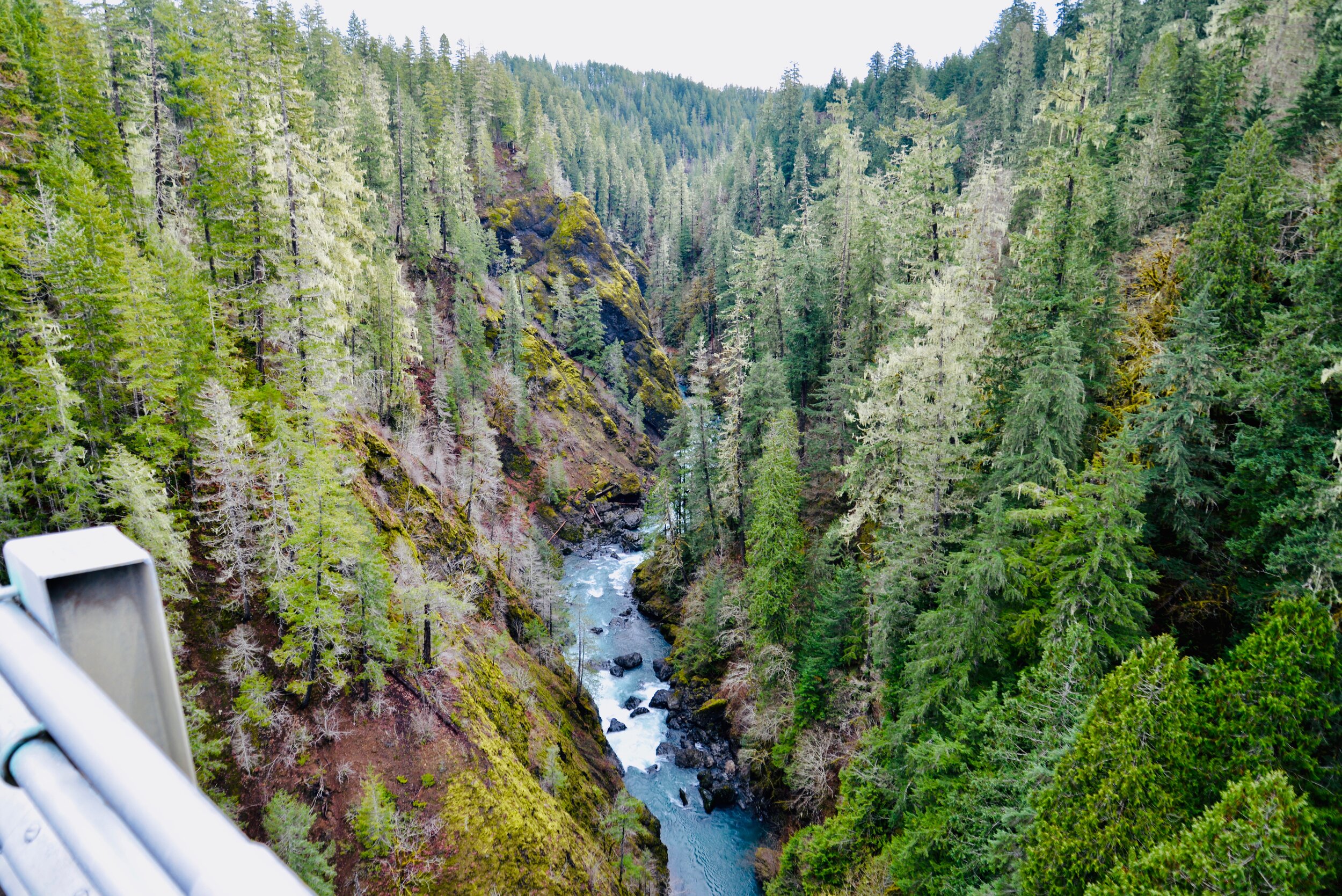
South Hood Canal, Skokomish Valley | While Vincent Creek Falls are quite stunning crashing 250 feet into the South Fork Skokomish River in a deep narrow canyon; the High Steel Bridge which allows for their viewing is even more spectacular. The 685-foot long bridge spans 375 feet above the canyon. Walk across the bridge but use caution along its north side where the guardrail is only 3 feet tall. The arched truss steel bridge was built in 1929 originally for a logging railroad. In 1950 it was converted for road use. It is the 14th highest bridge in the country. Your heart is sure to pound as you walk upon its airy span. Eventually Vincent Creek Falls comes into view. Through a series of falls, Vincent Creek drops 250 feet down a canyon wall into the roaring South Fork Skokomish River. Walk all the way across the bridge if you plan on capturing the falls in their entirety in a photo. Let’s Go!

Big Creek | Craig Romano Photo
4. Big Creek Cascades
Lake Cushman Area, Hood Canal | Amble on a circuitous route in the Big Creek drainage within the shadows of Mount Ellinor; and delight in a series of small tumbling cascades. This wonderful loop utilizes old logging roads, new trails and a series of beautifully built bridges. It was constructed by an all-volunteer crew that continues to improve and maintain this excellent family and dog-friendly loop. Starting from the Big Creek Campground, follow the Upper Big Creek Loop Trail to Big Creek and the first of several sturdy bridges along the way. After a short climb you’ll reach the Creek Confluence Trail which drops to the confluence of the tumbling Big and North Branch Creeks. The main loop continues to cross North Branch Creek on a good bridge. Just beyond it crosses Big Creek on a new bridge above a gorgeous cascade. The loop then descends skirting big boulders and passing good views of roaring Big Creek. It crosses a couple more cascading creeks before traversing attractive forest and returning to the campground. Let’s Go!
5. Staircase Rapids
Lake Cushman Area, Hood Canal — Currently Closed until mid-September
This loop involves a section of an historic route across the Olympic Mountains to a suspension bridge spanning the North Fork Skokomish River near a series of thundering rapids. Cross the North Fork Skokomish on a solid bridge and follow a trail that was once part of the original O’Neil Mule Trail. In 1890 Lieutenant Joseph O’Neil accompanied by a group of scientists led an Army expedition across the Olympic Peninsula. Among his party’s many findings was a realization that this wild area deserved to be protected as a national park. March up alongside the roiling river, passing big boulders and a series of roaring rapids. The rapids’ name come from a cedar staircase O’Neil built over a rocky bluff to get past them. Follow the bellowing river from one mesmerizing spot to another before reaching a sturdy suspension bridge spanning the wild waterway. Cross the river and complete this delightful loop by now heading downriver following the North Fork Skokomish River Trail back to the Ranger Station. Let’s Go!
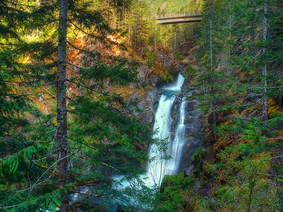
Hamma Hamma | George Stenberg photo
6. Hamma Hamma Falls
Hamma Hamma River Valley, Hood Canal | Talk about a bridge over troubled waters. From the Mildred Lakes Trailhead walk across the high concrete bridge at the road’s end. You no doubt heard the roar of the falls when you drove across it. Now peer over the bridge and witness the cataracts responsible for the racket.
Directly below, the Hamma Hamma River careens through a tight rocky chasm. These impressive falls are two-tiered crashing more than 80 vertical feet. The road spans directly above the upper and smaller of the falls. The overhead view is pretty decent, but the lower and larger falls are more difficult to fully see. A very rudimentary path leads along cliff edges for better viewing, but it’s slick, exposed and treacherous.It’s best to experience the falls from the safety of the bridge. During periods of high water flow you’ll get the added bonus of feeling the falls too thanks to a rising mist. On the drive back look for a couple of pull-offs providing views of secondary falls along the Hamma Hamma, Let’s Go!
7. Murhut Falls
Duckabush River Valley, Hood Canal | Hidden in a lush narrow ravine and once accessed by a treacherous path, Murhut Falls were long unknown to many in the outside world. But now a well-built trail allows hikers of all ages and abilities to admire this beautiful 130-foot two-tiered waterfall. The trail starts by following an old well-graded logging road. It was past logging in this area that led to the discovery of these falls. The old road ends after a short climb of about 250 feet to a low ridge. The trail then continues on a good single track slightly descending into a damp, dark, cedar-lined ravine. As you work your way toward the falls, its roar will signal you’re getting closer. Reach the trail’s end and behold the impressive falls crashing before you. The upper falls drops more than 100 feet while the lower one crashes about 30 feet. Blossoming Pacific rhododendrons lining the trail in May and June make the hike even more delightful. Let’s Go!
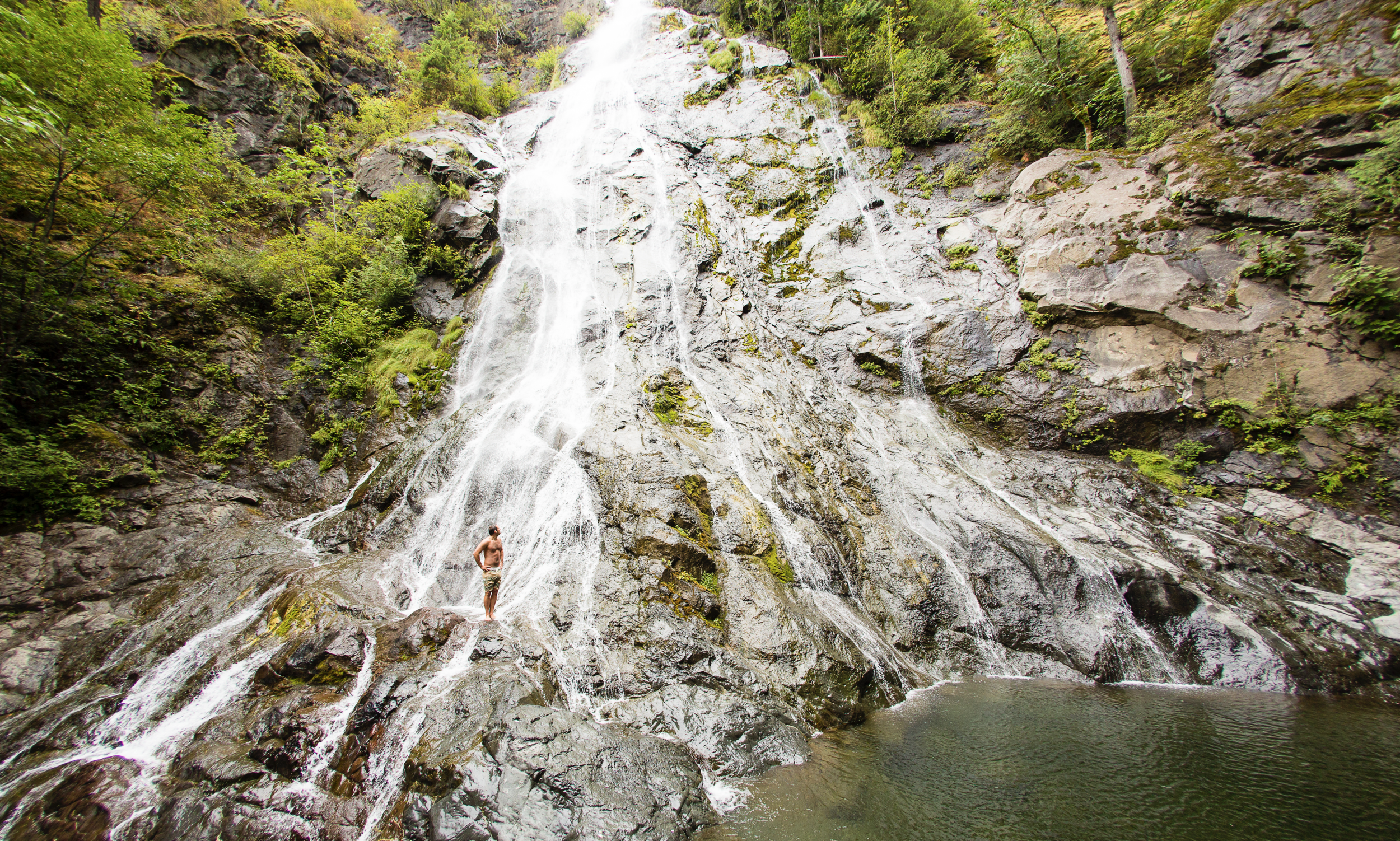
Rocky Brook Falls
8. Rocky Brook Falls
Dosewallips River Valley, Hood Canal | One of the tallest waterfalls on the Peninsula, Rocky Brook Falls is also among the prettiest. Follow the trail past a small hydroelectric generating building and come to the base of the stunning towering falls fanning over ledges into a large splash pool surrounded by boulders. This classic horsetail waterfall crashes more than 200 feet from a small hanging valley above. While a penstock diverts water from the brook for electricity production, the flow over the falls is almost always pretty strong. Like all waterfalls, these too are especially impressive during periods of heavy rainfall. On warm summer days the falls become a popular destination for folks seeking some heat relief. And while many waterways east of the Mississippi River are called brooks, creek is the preferred name in the west. There are only a few waterways on the Peninsula called brooks, and they were more than likely named by someone who hailed from back east. Let’s Go!
9. Dosewallips Falls
Dosewallips River Valley, Hood Canal | This spectacular waterfall used to be easily reached by vehicle. But the upper Dosewallips Road has been closed to vehicles since 2002 after winter storms created a huge washout that has yet to be repaired. Now to reach this waterfall you must hike or mountain bike the closed road. Walk past the road barrier and immediately come to the washout and a bypass trail. Steeply climb on the riverbank above the slide. Then descend back to the road and walk along the churning river. The road then pulls away from the river, passes a campground and climbs. The river now far below in a canyon is out of sight, but not out of sound. Pass beneath ledges and cross cascading Bull Elk Creek on a bridge. At 3.9 miles in a recent burn zone enter Olympic National Park. Cross tumbling Constance Creek on a bridge and continue climbing passing a big overhanging boulder. Then descend and skirt beneath a big ledge coming to the base of dramatic 100-foot plus Dosewallips Falls. Admire the raging cascade’s hydrological force—it’s mesmerizing. Let’s Go!
10. Fallsview Falls
Big Quilcene River Valley | As far as cascades go, Fallsview Falls lacks the “Wow factor.” However the canyon these falls tumble into is pretty impressive. And if you plan your visit for late spring, blossoming rhododendrons line the trail and frame the view with brilliant pinks and purples. The trail to the falls is short, easy and ADA accessible. Follow the 0.2 mile loop to a fenced promontory above a tight canyon embracing the Big Quilcene River. Gaze straight down to the roiling river. Then cast your glance directly across the canyon to an unnamed creek cascading 100 feet into it. By late summer it just trickles—but during the rainy season the falls put on a little show. If you want to stretch your legs some more afterward, you can follow a trail into the little canyon and hike along the frothing river. Let’s Go!

And 15 more…
For a day trip, weekend, or a month-long adventure – the Olympic Peninsula is a fantastic place to get away and enjoy nature – and waterfalls! It’s not just 1000’s of waterfalls, there are countless lakes, rivers, streams and trails to suit every ability level. Embraced by the Pacific Ocean on the west, the Strait of Juan de Fuca on the north, and the Hood Canal on the east, it is famed for being home to Olympic National Park, more than 600 miles of hiking trails and 73 miles of pristine ocean wilderness beaches.
The Olympic Peninsula hosts activities for families and outdoor enthusiasts alike, attracting visitors from near and far. Start planning your next adventure!
Click here for a complete list of all 25 waterfalls on the Olympic Peninsula curated by Craig!

Spider Lake: Perfect year round hiking destination
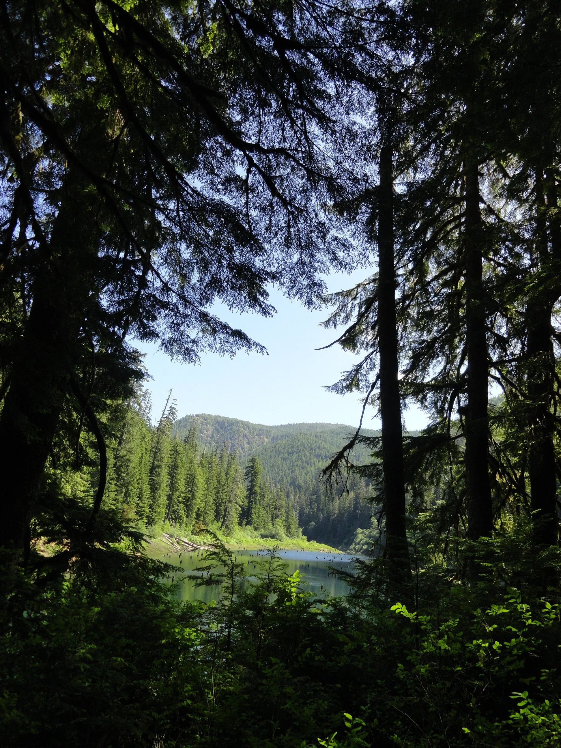
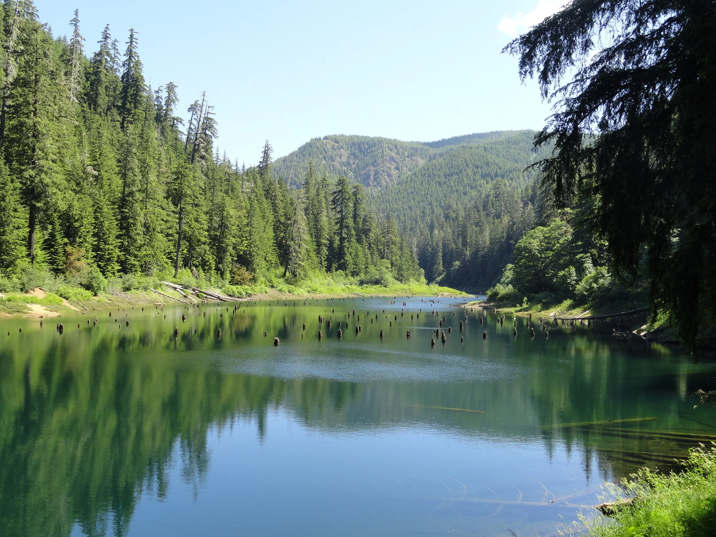
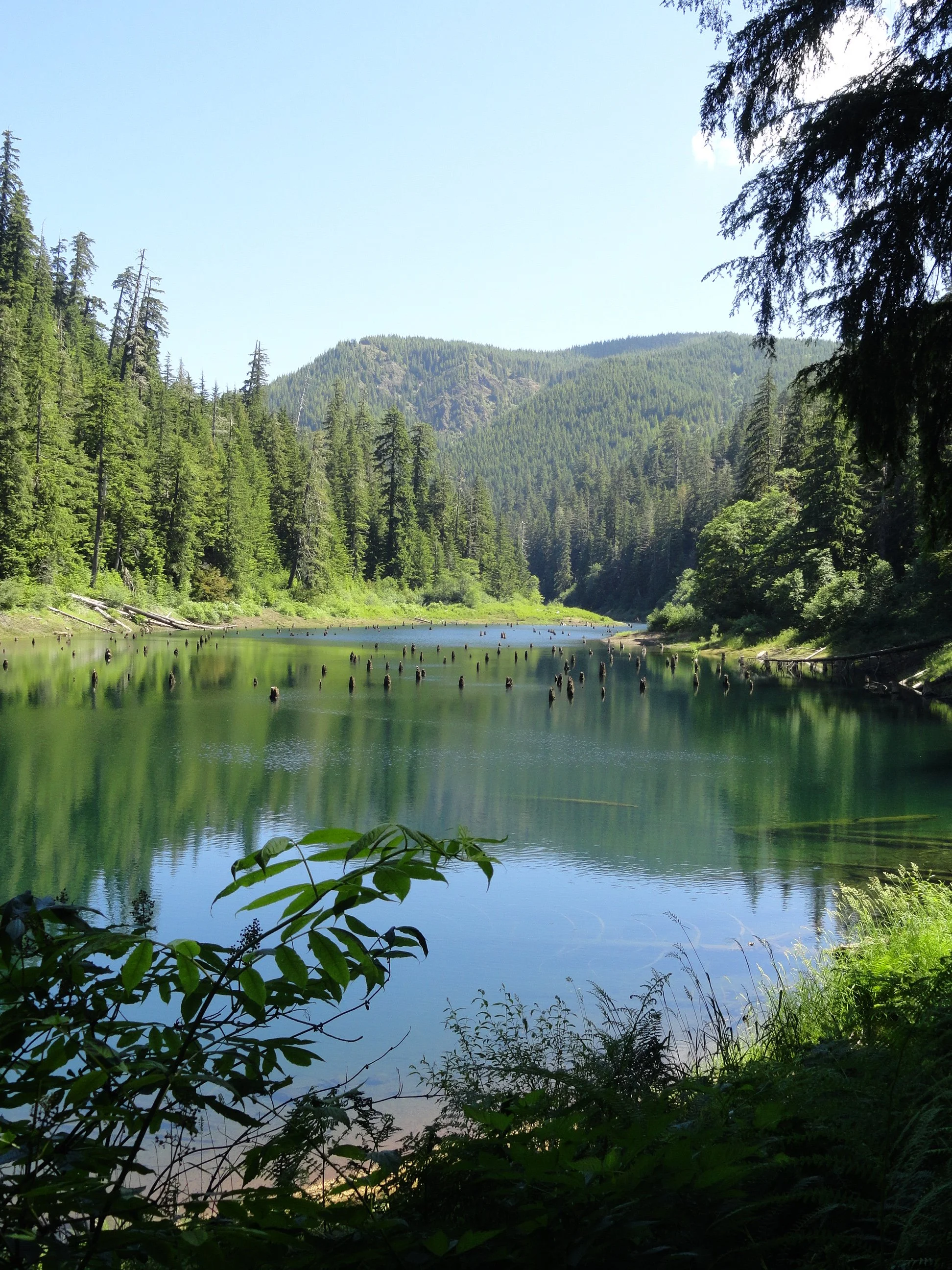
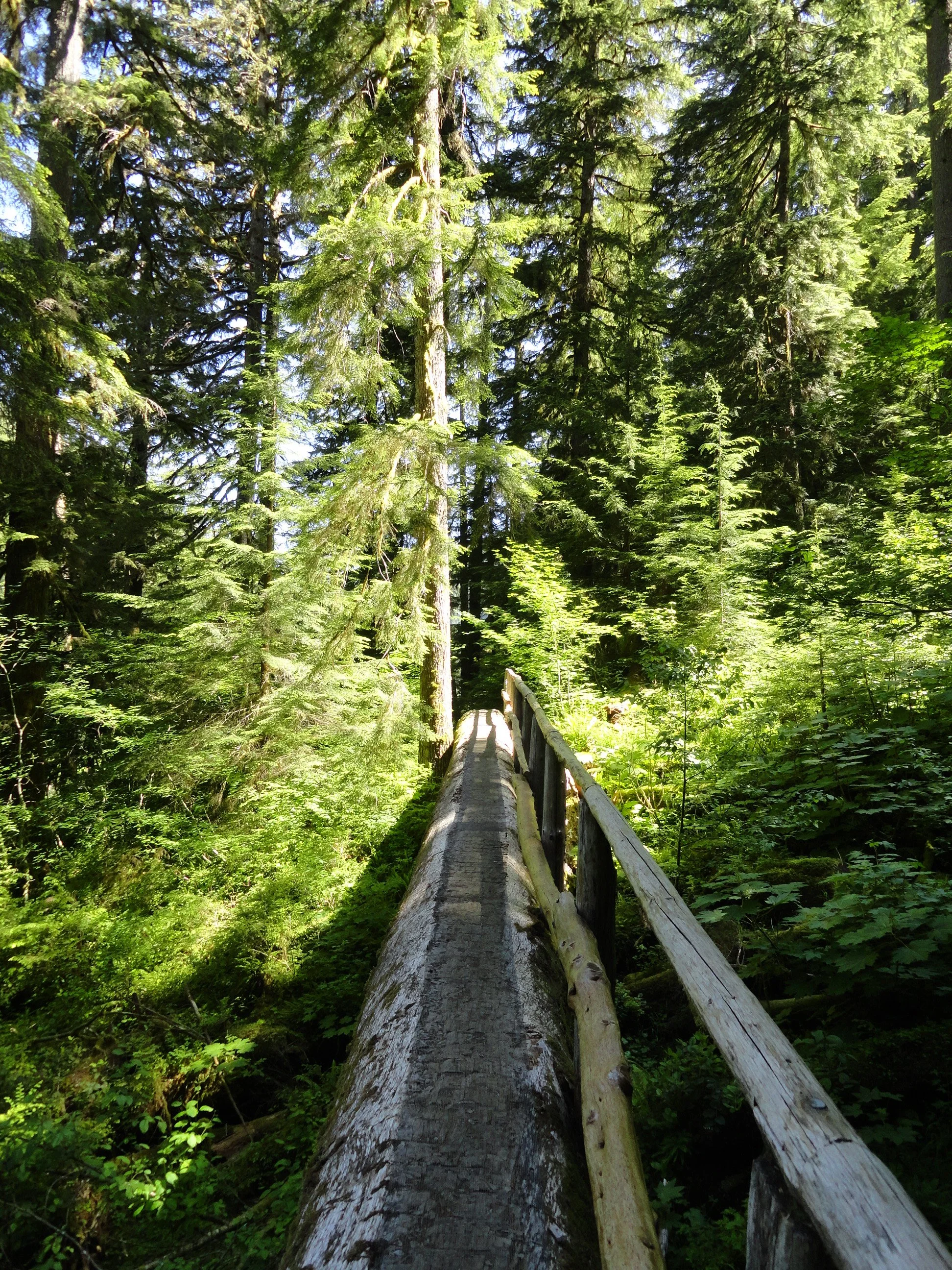
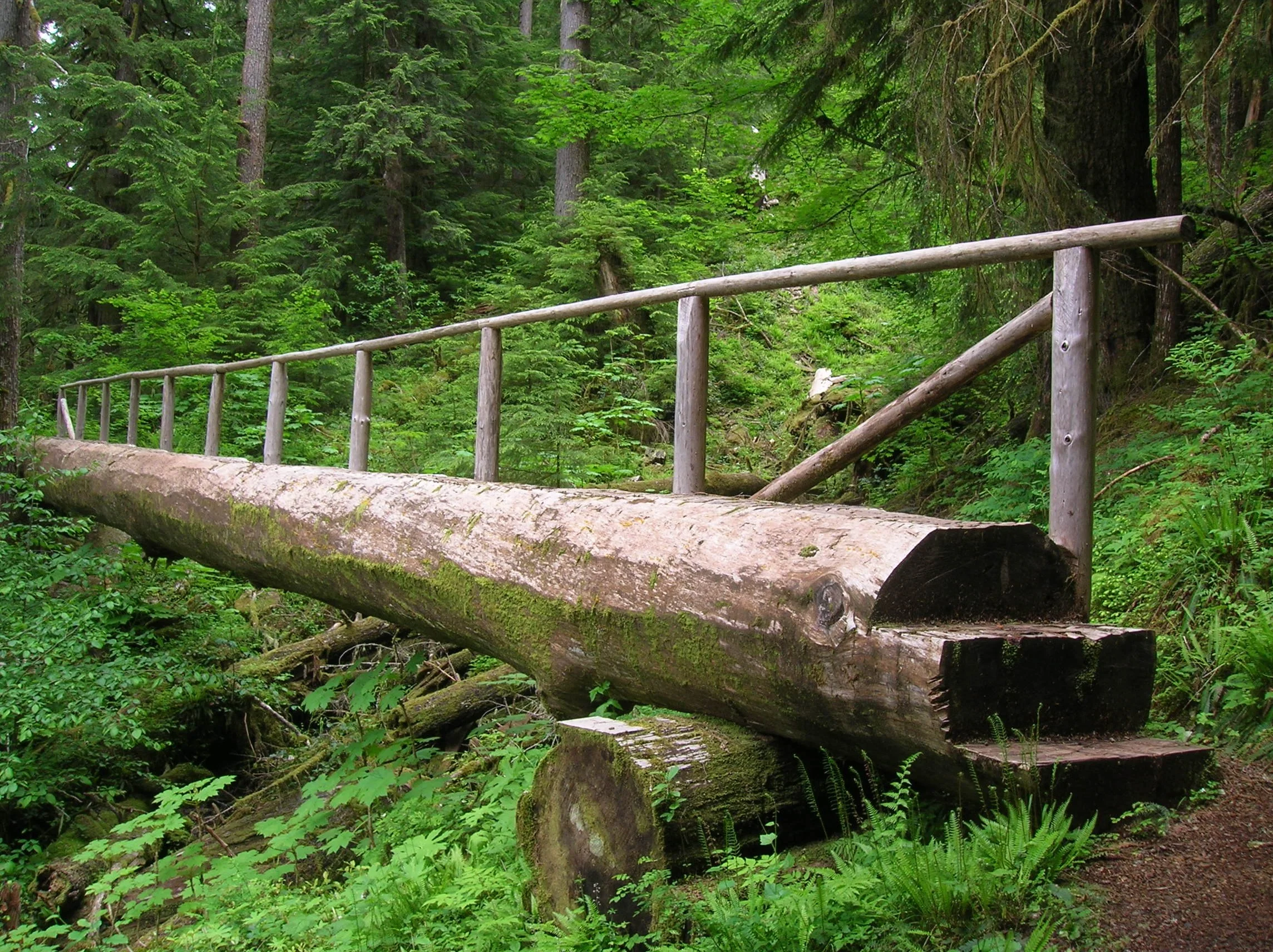
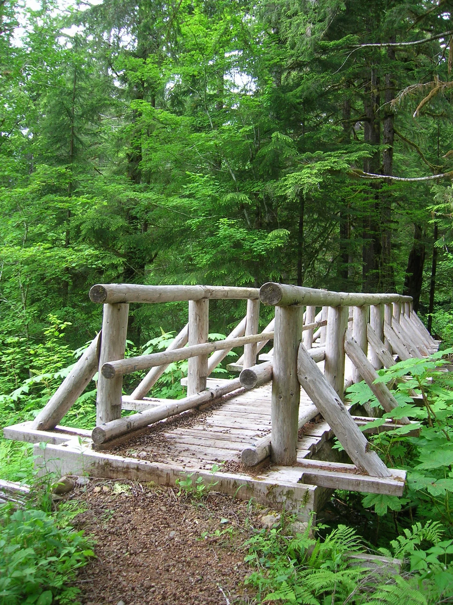
With a name that may instill a chill if you’re prone to arachnophobia, fear not a visit to Spider Lake. Children will love hiking along its shores looking for birds, fish, amphibians and other critters. They’ll also appreciate the well-built bridges spanning the lake’s inlet and outlet streams. And the trail with its gentle course around the lake is ideal for hikers of all ages and abilities.
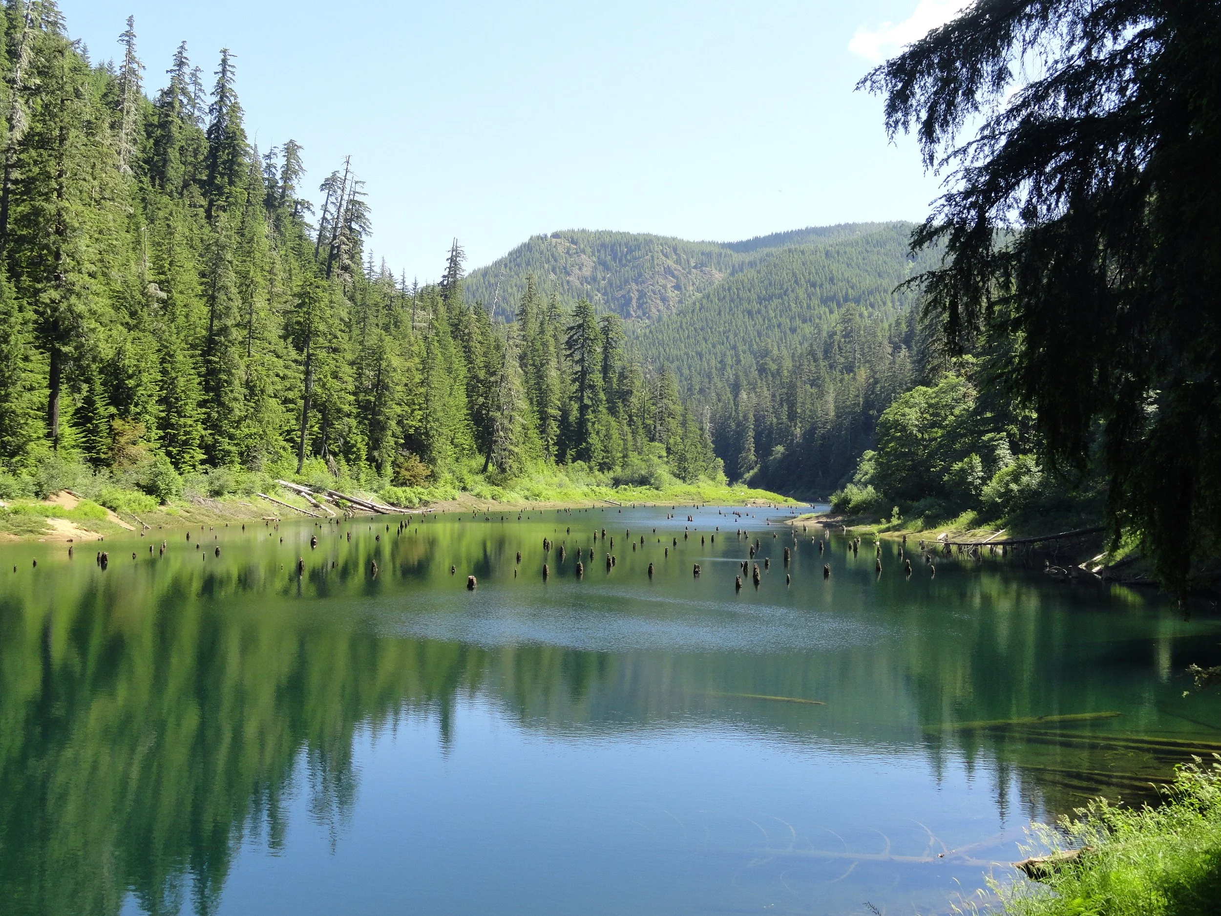
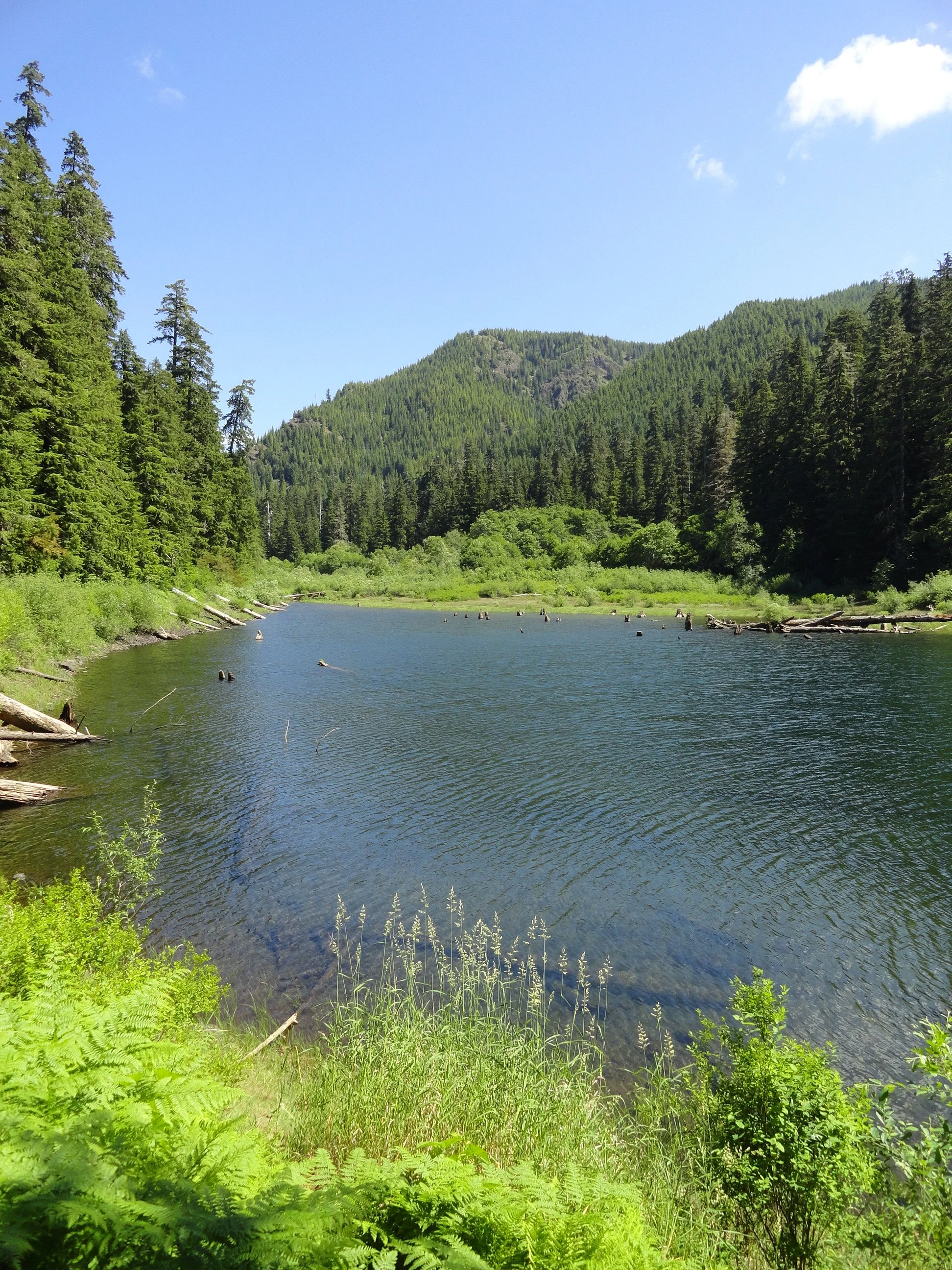
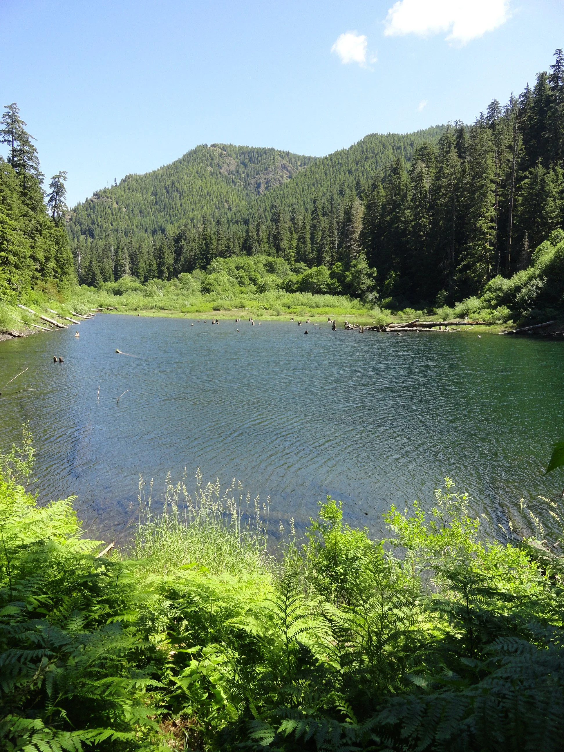
With a name that may instill a chill if you’re prone to arachnophobia, fear not a visit to Spider Lake. The small lake on the South Fork Skokomish River—Satsop River divide is actually an inviting place. Surrounded by towering ancient conifers and fed by cascading creeks, Spider Lake is quite tranquil. Children will love hiking along its shores looking for birds, fish, amphibians and other critters. They’ll also appreciate the well-built bridges spanning the lake’s inlet and outlet streams. And the trail with its gentle course around the lake is ideal for hikers of all ages and abilities.
Hit the Trail
Hikers of a certain age may start humming the Jim Stafford classic Spiders and Snakes upon beginning their jaunt to this lake. And if you’re in agreement to the chorus of “I don’t like spiders and snakes…” take solace. There are only three species of snakes that call the Olympic Peninsula home, and none of them are venomous. However there are more than 900 species of spiders that reside on the peninsula! Yet, the majority of them you’ll never encounter. And the common ones, crab spiders, jumping spiders, and orbweavers are nothing to be afraid of. You’re more likely to run into their webs (especially if you’re the first one on the trail that day) than into them. Voracious eaters of insects, spiders help keep the population of those hiking nuisances down.




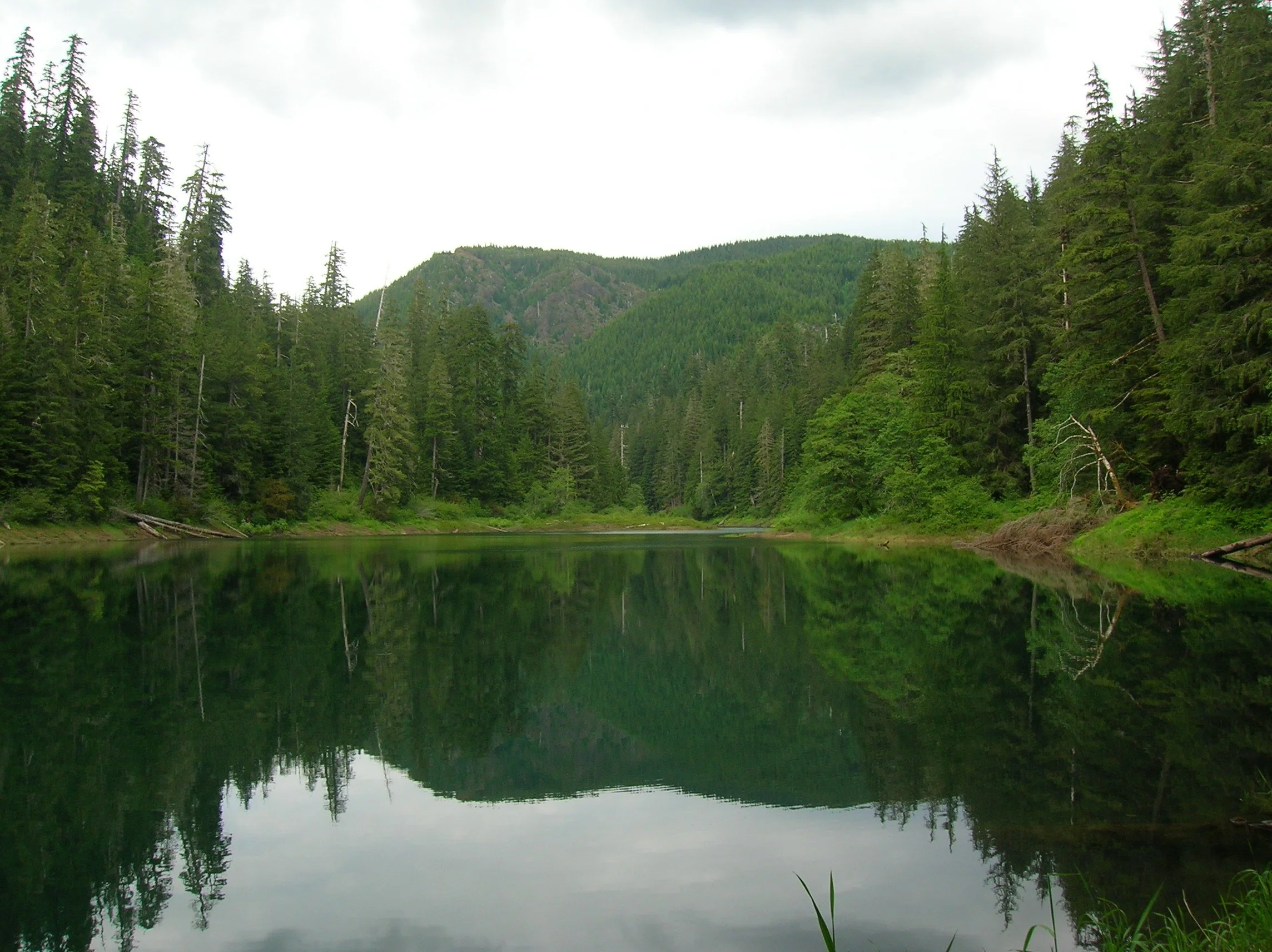

So is there an abundance of spiders at Spider Lake? No—no more than pretty much anywhere else in the Olympics. So what’s with the name? No one’s quite sure, as any record to how this lake got its name can’t be easily found. Spider Meadow in the Cascades Mountains is named after a mine, so that’s a possibility. Spyder Lake in Quebec and Spider Lake in Minnesota are named for their shapes resembling the arachnid. Is this lake shaped like a spider? No, it’s shaped more like a flatworm. Perhaps an early explorer simply named the lake after the arachnid because he had a spider encounter there—who knows?
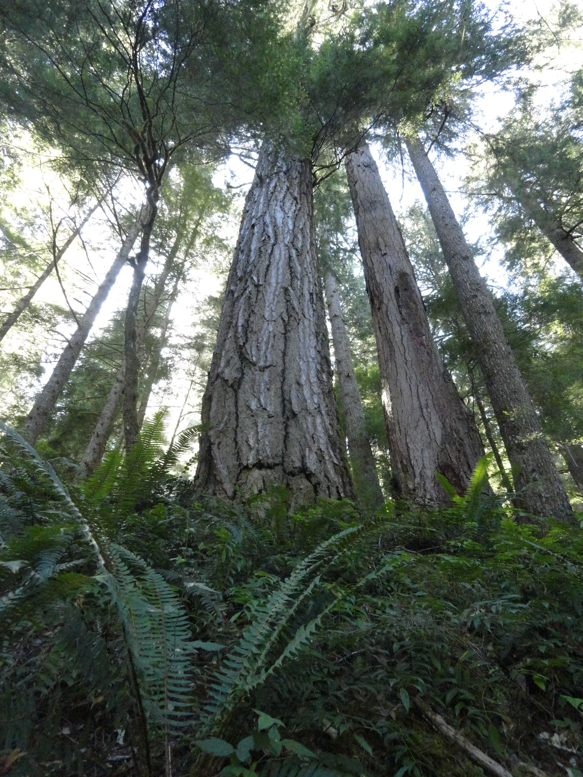
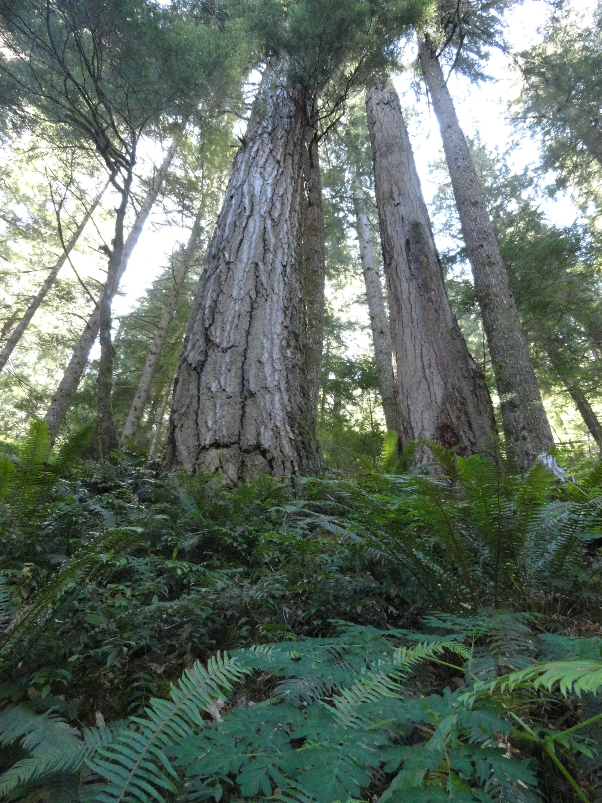
In any case Spider Lake isn’t grand in any sense, this hike’s main draw is its trees. The lake is surrounded by gorgeous ancient forest—a tiny fragment of the grand forest that once shrouded the hills and ridges along this entire divide. The trail too is a fragment—once a much longer route connecting the South Fork Skokomish River Valley to the Satsop River Valley. Decades of intensive logging in this corner of Olympic National Forest not only obliterated the area’s primeval forest but also much of its extensive trail system.
With the cut now a fraction of what it once was and with trail usage at record numbers, it would be a great time to bring folks together to start rebuilding trails in the southern Olympic flank.
In the mid-1990s, trail builders resurrected a portion of the old trail that once traveled up the Cedar Creek valley and constructed adjoining new tread to build a two-mile loop around little Spider Lake. Trail-building aficionados will probably find the loop’s three large bridges noteworthy for their durability and aesthetics. Kids will love crossing them—probably doing a few repeats on the spans.
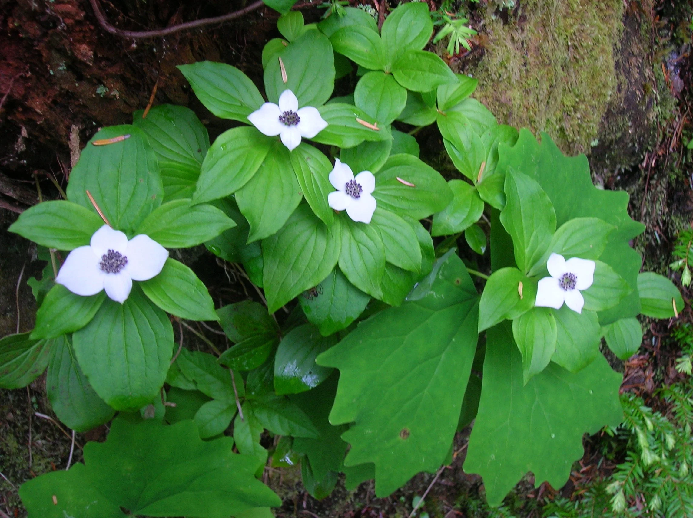
This trail is a joy to hike anytime of the year, but it glows pearly white in early summer when blossoming dwarf dogwood and queen’s cup blanket the forest floor. A few shrubs and sedges will add some golden touches in autumn. From the trail’s unassuming trailhead (there’s another unassuming trailhead to the south) immediately enter cool old-growth forest and come to a junction. Turn right (although either direction will work), crossing the outlet stream and soon reaching Spider’s western shoreline. Now saunter past towering trees, good fishing spots, and excellent viewpoints of the placid lake. Look for avian and amphibious residents. Cast your glances upward at the surrounding ridges. These intensively logged hillsides offer quite a contrast to the virgin groves cradling the lake.
After about a mile, cross a small creek and reach a junction. The trail heading right steeply climbs a short distance to an alternative trailhead. Continue left climbing a little above the green waters of the lake while being shaded by ancient behemoths. Now continue along the eastern shoreline climbing a bit more to traverse a steep slope.
After crossing a high log bridge, the trail begins its descent back to lake level. It then crosses an inlet stream in a marshy area before returning to the junction where you started your trip around the lake.
The hike is short, but the surroundings beckon you to slow down and enjoy the natural beauty of this small lake and its big trees. Perhaps you’ll be fortunate to see some wildlife along the way—and more than likely you probably won’t recall if you encountered a spider or two!
contributor
Craig Romano is an award-winning guidebook author whose deep connection to Washington trails, dedication to accuracy, and passion for conservation have made him a trusted name in the outdoor community. His contributions to Tracing the Fjord magazine bring rich, informed outdoor narratives to a readership that lives and loves the Hood Canal region. Craig's guidebooks stand out for their thorough research. He physically scouts trails, GPS-tracks routes, and includes lesser-known—and at-risk—options to offer diverse, accurate, and reliable resources for hikers. He incorporates sidebars with natural or cultural history and conservation insights in his writing. He emphasizes responsible use and stewardship of trails, challenging readers to be “good conservation and trail stewards.” Craig has written more than 25 guidebooks, including celebrated “Day Hiking” and “Urban Trails” series published by Mountaineers Books—featuring areas like the Olympic Peninsula, Vancouver BC, and beyond.

Mount Rose: Summer hike with a climb
This hike is one of the steepest in the Olympics but with a blanket of wildflowers and stunning views, it is well worth the climb! With a nod to William Shakespeare, that which we call Mount Rose by any other name would still be as steep!
Story and pictures: Craig Romano
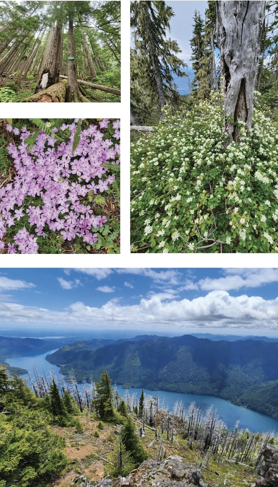
This hike isn’t terribly long. And its trailhead is fairly easy to reach via mainly good paved roads. The trail traverses impressive towering old-growth forest. And in summer wildflowers brighten the forest floor and decorate summer ledges. Views? They’re stunning, especially of Lake Cushman sparkling 3,500-feet directly below. But every rose has its thorn. And for Mount Rose, all of this natural beauty and splendor comes at a steep price—literally. This hike is one of the steepest in the Olympics.
Hit the Trail
Yes, the trail up Mount Rose is grueling. But it makes this hike all that much sweeter by weeding out the crowds. Rose makes for an excellent quieter alternative to nearby Mount Ellinor. And being more than 1,000 feet lower than that popular peak means a longer snow free hiking season on Rose. And while handfuls of hikers may swear off this mountain—plenty swear by it and swear on it while going up it. They embrace its steepness as a great conditioner for harder hikes planned later in the season. In any case, do not under estimate this hike. Trekking poles will significantly help—especially on the insanely steep descent. And take plenty of water.
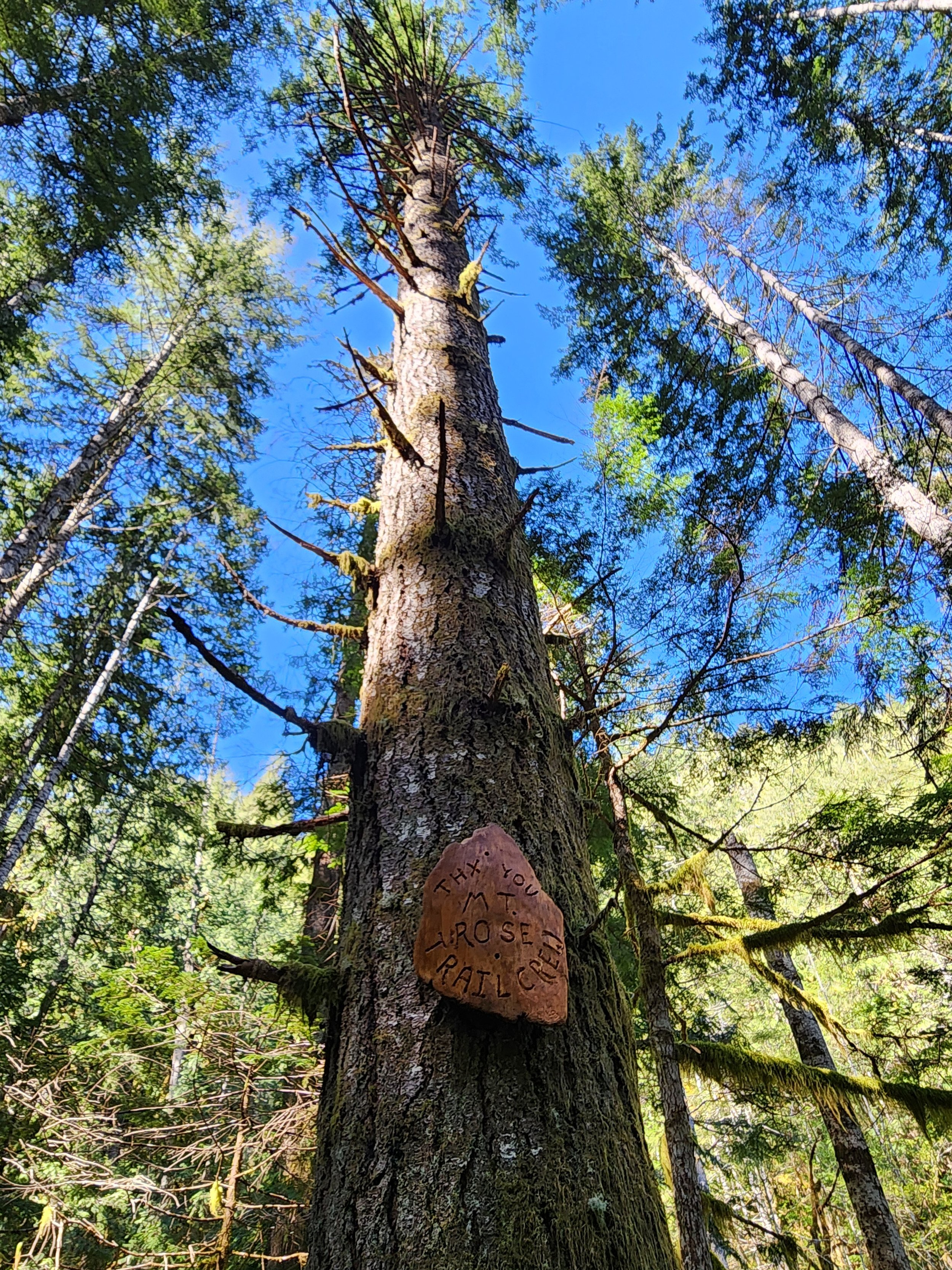
The trail starts out deceptively easy on a fairly level traverse along the base of the mountain. After crossing a pair of cascading creeks and passing a square-shaped builder shrouded in ferns the way gets down to business. A seemingly endless procession of switchbacks will keep you occupied. And if you think the going is steep—it used to be steeper! The all-volunteer Mount Rose Trail Crew reconfigured and rebuilt much of this trail several years ago, making it much more negotiable. The Mount Rose Trail Crew has left their positive marks on many of the trails in the Lake Cushman area.
Much of the lower mountain is covered in uniform second growth forest thanks to fires early in the last century. But a handful of surviving towering old-growth giants break the monotony of the younger forest. The trail enters the 13,000 Mount Skokomish Wilderness, one of five wilderness areas in Olympic National Forest flanking Olympic National Park. At just shy of 2.0 miles (although it may feel a lot longer) the trail reaches the summit loop junction. Here a small plaque honors the crew that built this trail.
Which direction you take the loop is dependent on your preference. The way left is much steeper which for many is easier to ascend than descend. But if you head right instead you will reach the scenic payoff later—prolonging the anticipation. Most folks head left first to tackle 1300 feet of ascent within a mile. The way relentlessly climbs passing through dark moist forest before transitioning to a forest recovering from a 2006 wildfire. At 2.9 miles from the trailhead reach the 4301-foot open-forested summit. Your attention will be immediately drawn to sparkling Lake Cushman below. It’s a breathtaking view of the large lake cradled by steep emerald slopes. But do scan the lake’s surroundings too admiring Lightning Peak and Timber Mountain rising majestically above it. Take in views too of Wonder Mountain and Church Peak to the southwest; and the Skokomish delta, Black Hills, Willapa Hills, and Mount Rainier to the south. And catch glimpses through silver snags and white pines of the deep valley of the North Fork Skokomish River.


After admiring the stunning views, continue on the loop along a narrow forested ledge. Along the way you’ll be greeted with more fine views including close ups of Copper Mountain towering above you and Hood Canal in the distance. The way then enters impressive old-growth forest and passes a fascinating colonnade of four silver firs. They’ve grown so close together they appear fused. The summit loop will deliver you back to a familiar junction from where a brutal descent will deliver you back to the trailhead.
Mount Rose’s views are indeed sweet. But the mountain’s summit floral show can be equally stunning. The mountain however is not named for roses, of which four native species grow in the Olympics. The mountain takes its name from Alfred A. Rose, who in 1885 arrived in the valley below with his wife and three children from California. Rose was one of the first non-native settlers in the valley, claiming 150 acres along Lake Cushman. But his tenure here was short. He succumbed to small pox four years later. In 1926 the lake was dammed greatly increasing its size and inundating Rose’s original homestead as well as other early settlements. I’m not sure if Rose ever grunted to the summit that bears his name. But with a nod to William Shakespeare, that which we call Mount Rose by any other name would still be as steep!


Rowboats and Recitals: The Story of Mason County’s Early Schools
In this feature, Explore Hood Canal visits the Mason County Historical Society Museum in downtown Shelton to explore “More Than a Building,” a powerful exhibit on the early schools of Mason County. Featuring insights from curator Liz Arbaugh, this video reveals how schools were the heart of tiny communities—from tribal lands to logging camps.
What if I told you the quiet forests and mossy clearings of Mason County once echoed with the sound of children learning—and even rowing boats just to get to class? In this feature, Explore Hood Canal visits the Mason County Historical Society Museum in downtown Shelton to explore “More Than a Building,” a powerful exhibit on the early schools of Mason County. Featuring insights from curator Liz Arbaugh, this video reveals how schools were the heart of tiny communities—from tribal lands to logging camps.
📍 Visit the museum: 427 W Railroad Ave, Shelton, WA 98584
👨💻 Online: www.masoncountyhistoricalsociety.org
🗂️ View the exhibit and the Dayton archives
🎄 Learn about schoolhouse dances, Christmas parties, and how education shaped this region
💬 Leave a comment if you remember your Mason County school days!
#MasonCountyHistory #SheltonWA #HistoricalSchools #PacificNorthwestHistory #ExploreHoodCanal
Copper Creek trail
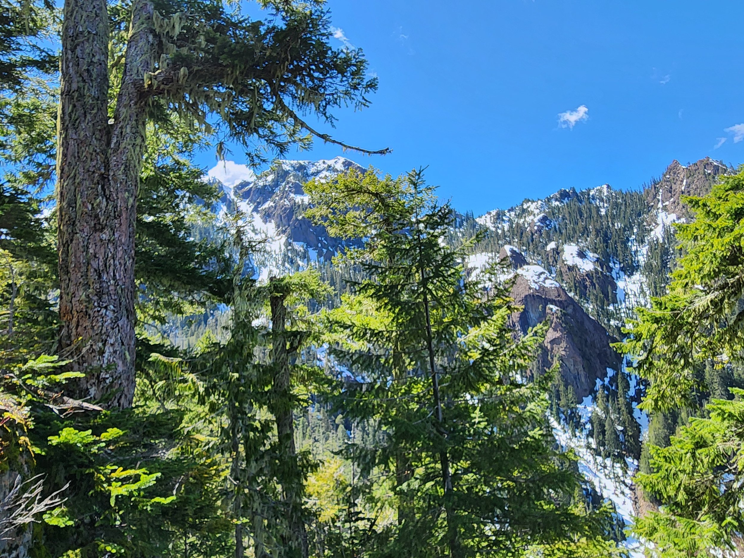
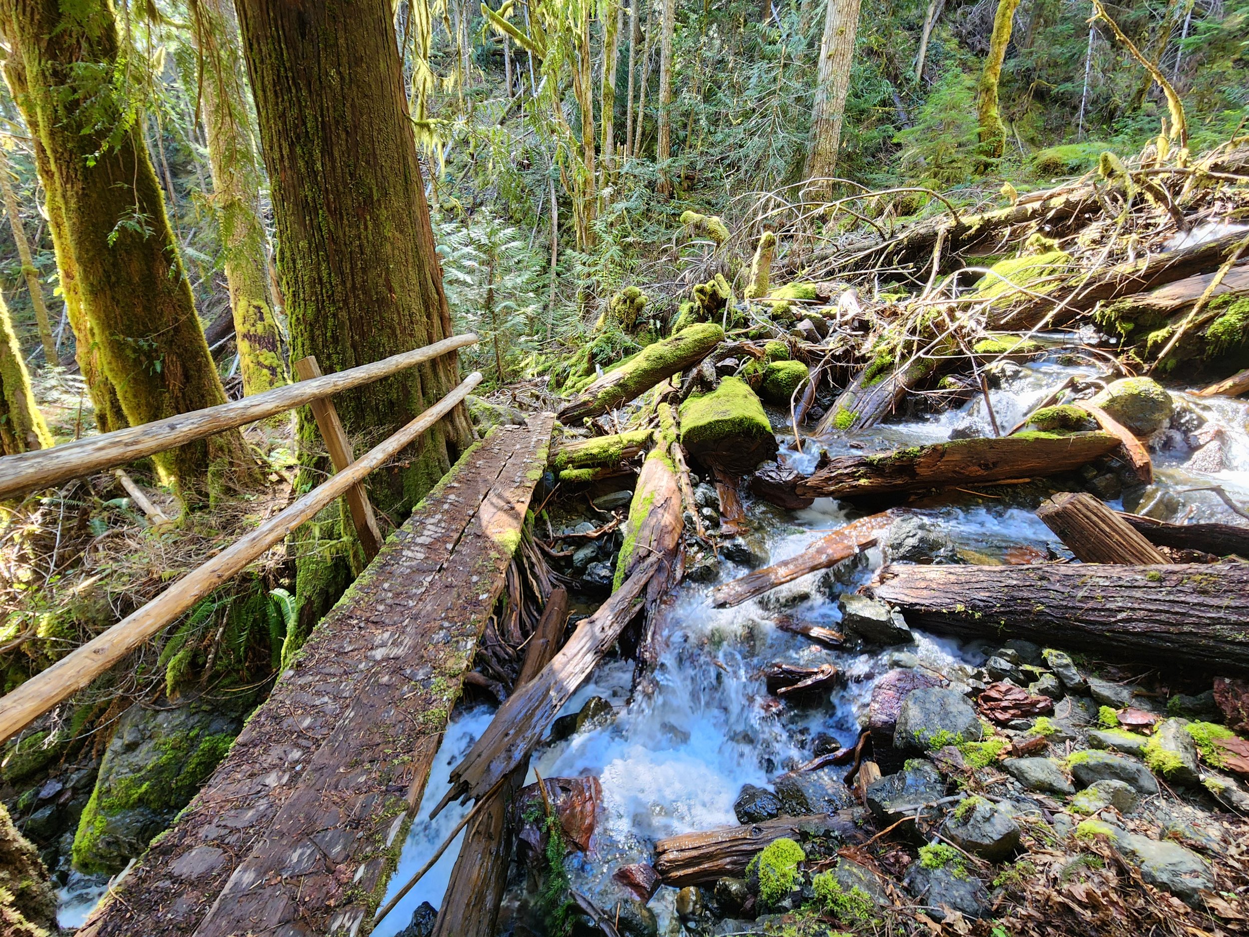
Tenacious hikers toil up steep slopes past the mines to a high shoulder on Lightning Peak. Views are limited, but the trailside cascading creek and surrounding towering primeval forest is striking. And if its solitude you seek, ye shall be rewarded.
Text and images Craig Romano
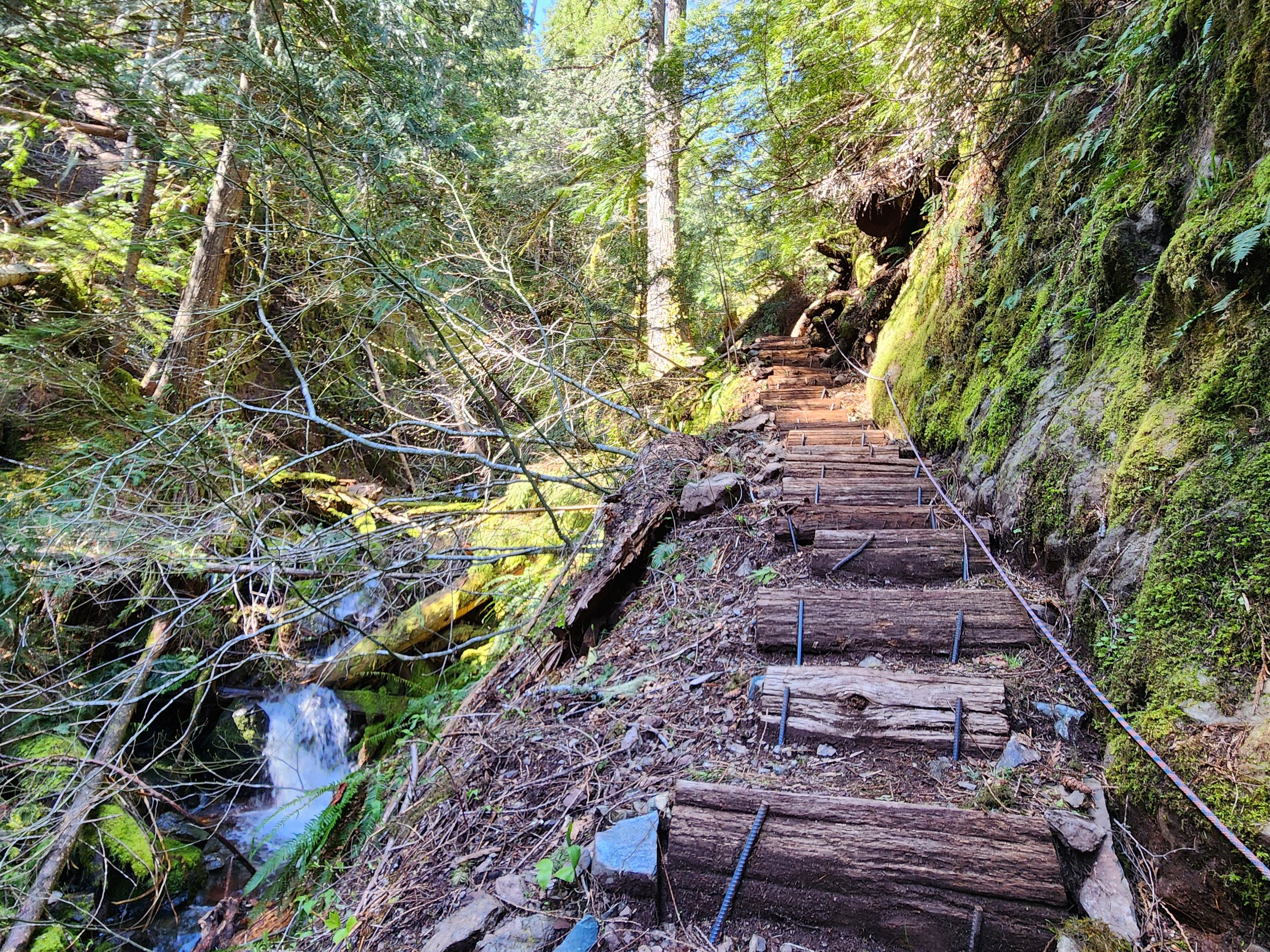
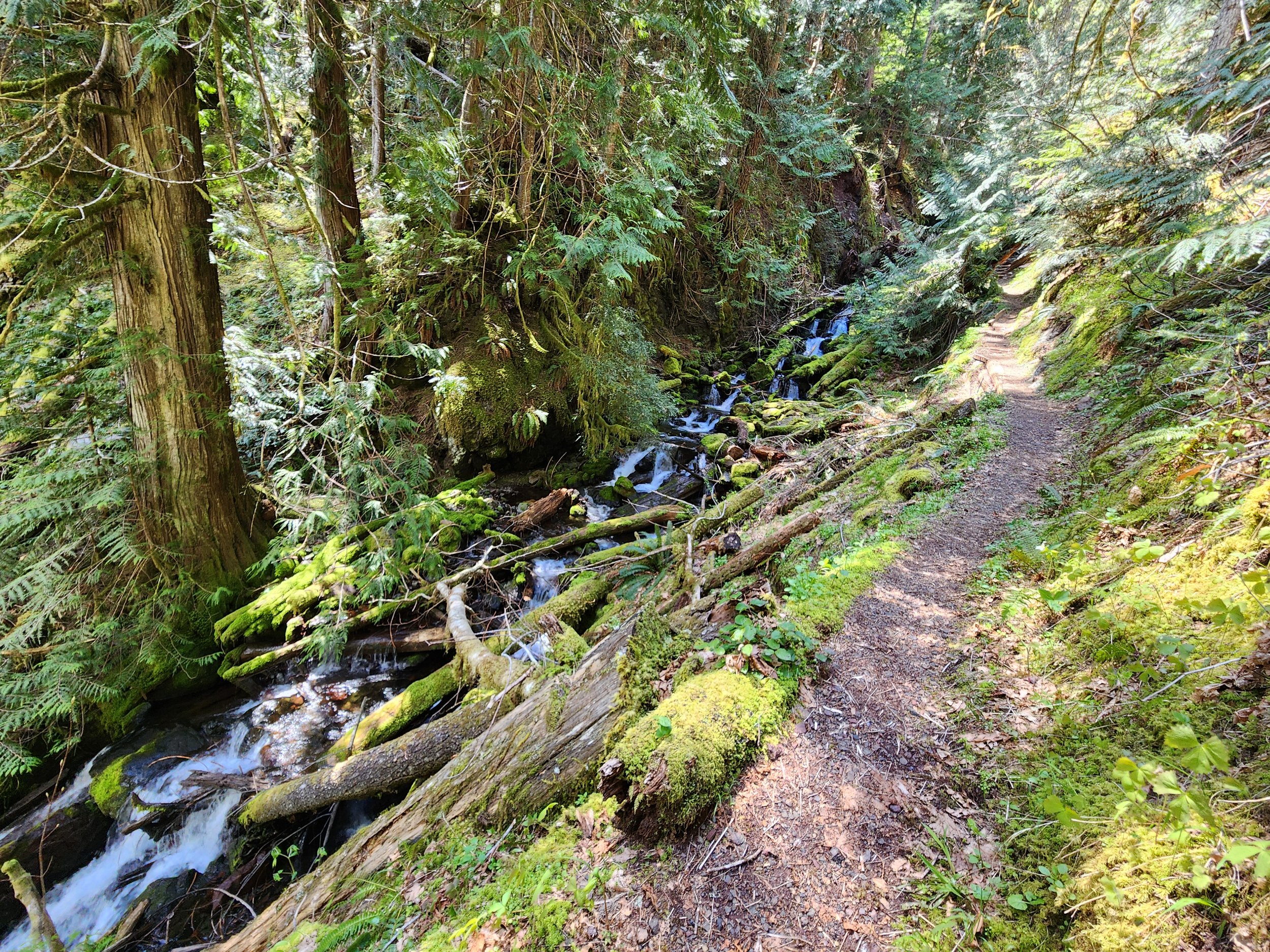
Copper Creek tumbles through a rugged area harboring several old mines. But it was mostly manganese, not copper that lured hardscrabble miners up this rough and tumble trail along Copper Creek to work several mines. After World War II the mines ceased operation and the trail to them was abandoned. But after the turn of the last century the volunteer Mount Rose Trail Crew reopened—reinforced—and extended this trail. Now tenacious hikers can toil up steep slopes past the mines to a high shoulder on Lightning Peak. Views are limited, but the trailside cascading creek and surrounding towering primeval forest is striking. And if its solitude you seek, ye shall be rewarded.










Hit the Trail
The Copper Creek Trail begins a short distance from where the North Fork Skokomish River flows into Lake Cushman. The lake which was once much smaller was dammed in 1924 to provide power to a booming Tacoma. Today the lake continues to provide hydro-electric energy and is well-known for its outdoor recreation offerings. But from 1880 until the 1940s this region was an active mining district with over 400 claims.

The Copper Creek Trail was originally built in 1915 by prospectors. After decades of abandonment, volunteers from the Mount Rose Trail Crew reopened it. They restored parts of the original tread as well as constructed new tread and pushed the trail beyond the old mines to a shoulder high on Lightening Peak. Like the original trail, this trail is steep—brutally steep in spots. And while it’s been greatly improved, it still contains some rough patches. It’s guaranteed to get your heart rate up and give your quads and hamstrings a good workout. The trail’s steepness, relative obscurity, and lack of sweeping views guarantees an uncrowded experience.Start climbing, entering a narrow and dark ravine.
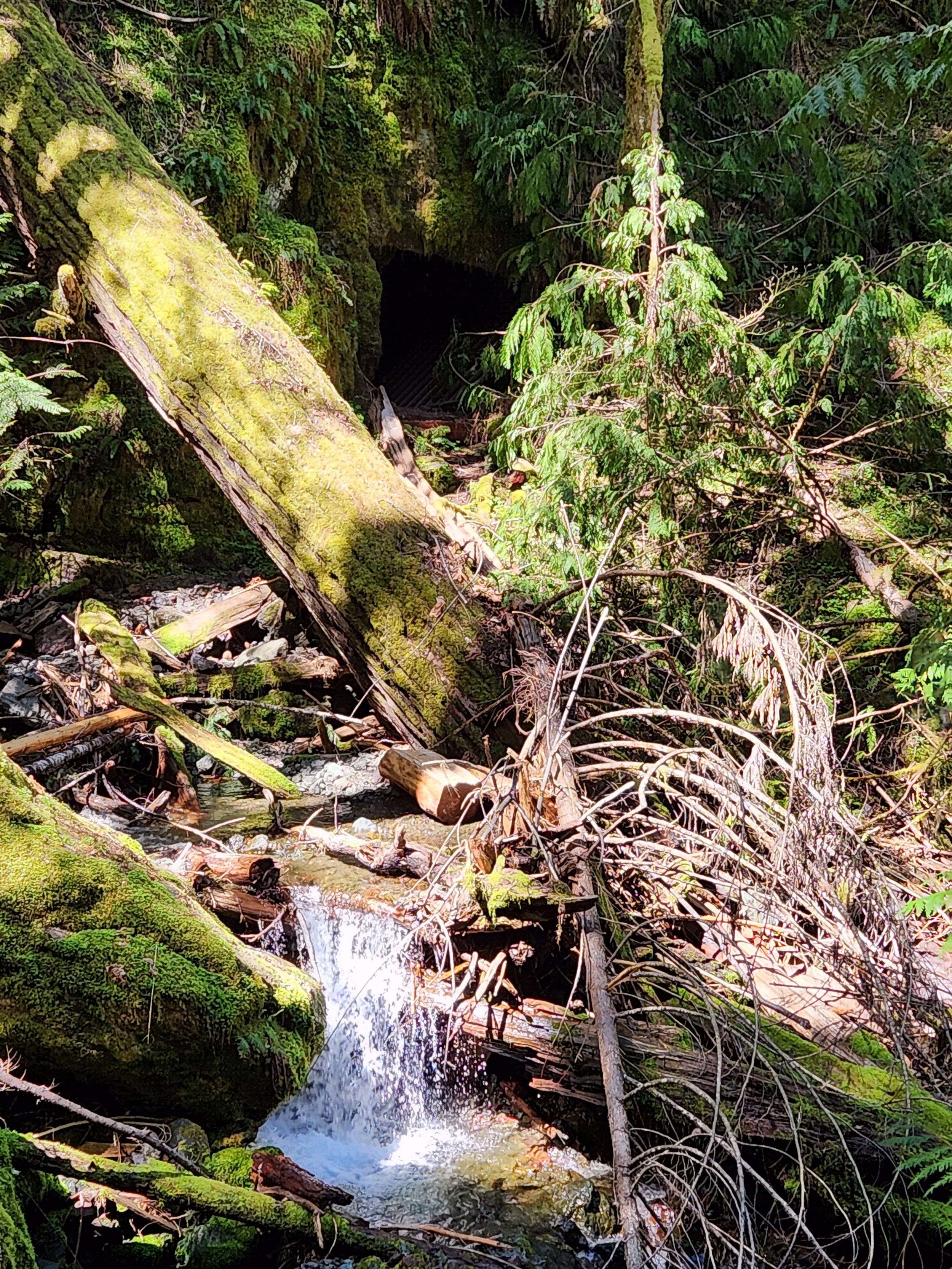
Witness large stumps, testaments of the primeval giants that grew here before loggers sent them off to the mills. The area’s steep and rugged terrain made logging difficult higher up the surrounding slopes. Impressive old-growth cedars and firs will greet you as you ascend higher. Cross the crashing waterway on a good bridge. Just downstream from the bridge scan the west side of the ravine wall to spot a shaft from the Brown Mule Mine. Another shaft is located farther downstream. Use caution if you wish to explore them. The mine began operation in 1915 and produced mainly manganese and silica. The mines were busy during World War I and then slowly ceased production.
The trail now gets steeper and traverses a stretch prone to slides. Take a break at one of the trailside benches and admire a cascading tributary plummeting steep ravine walls from high above. Then continue working your way up an increasingly narrow ravine. Copper Creek crashes below your feet. The trail then gets insanely steep climbing above the creek via a series of tight switchbacks and steps.
The way eases in grade as it enters a grand forest of giant ancient cedars and Douglas-firs. At 1.4 miles, reach an easy to miss junction. Here a short trail leads left to the site of the Apex Mine. Manganese was the main metal mined here. A small amount of jacobsite was also extracted from this mine. The Apex Mine is the only known site in the country where this rare metal was mined. By and large though it was manganese, attracting most of the attention.
The entire Lake Cushman Mining District contains large concentrations of this metal which is important in steel production. During World War II operations were ramped up and pressure was put on Olympic National Park to allow access to many of the claims within the park. Attempts were made by business interests to allow for unrestricted mining within the national park. Several existing claims were allowed to continue years after the park was established. But park administrators held strong on the park’s original enabling act which didn’t allow for expanded and extended mining.
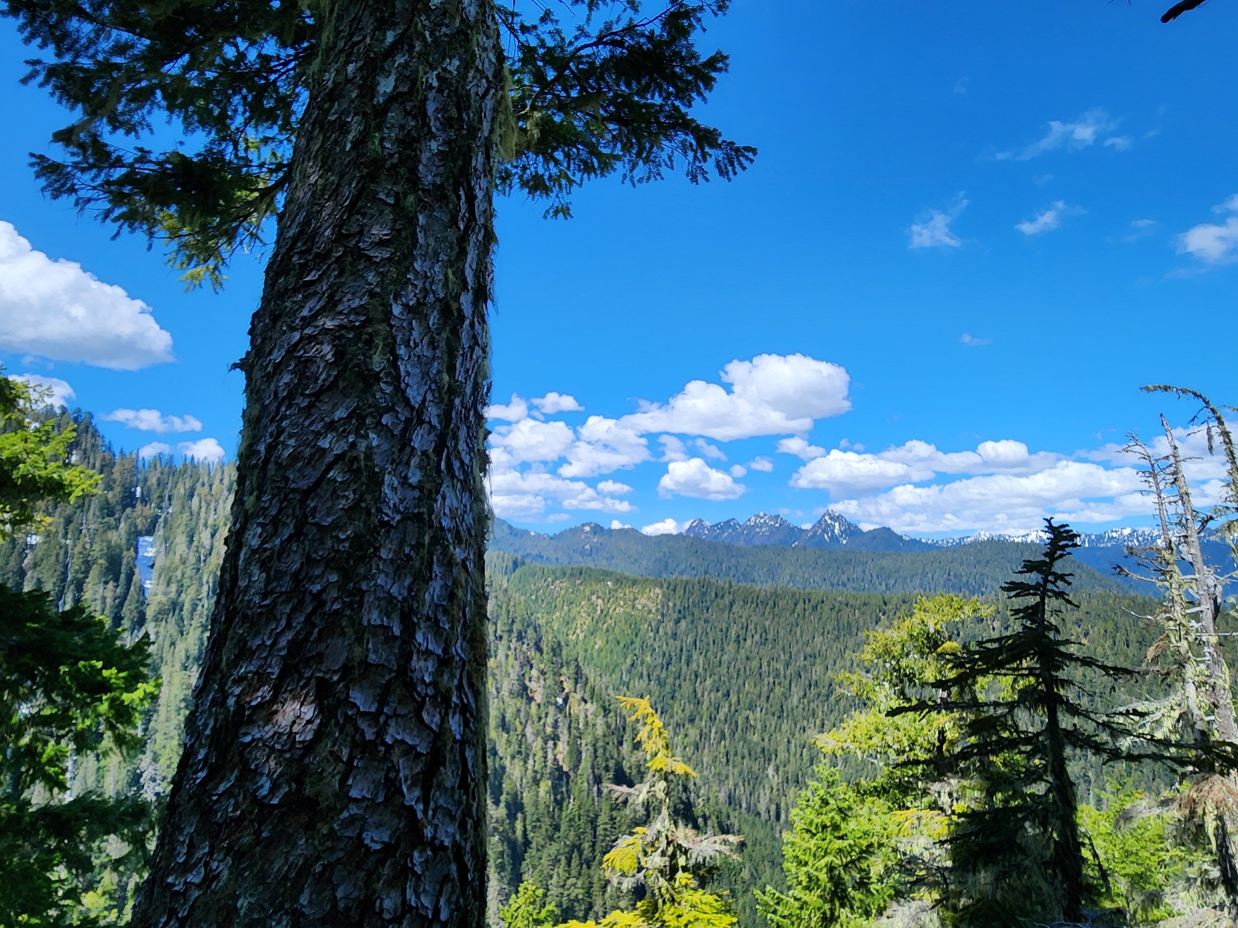
After checking out the old Apex site return to the main trail and continue steeply climbing, soon reaching another junction. Here the trail forms a loop. Head in either direction through primeval forest to attain a 3280-foot narrow shoulder of Lightning Peak. Views are limited on forested ridge, but you’ll be able get glimpses of the rugged Lightning Peak towering above and of shimmering Lake Cushman and the Elk Creek basin below. You’ll also be able to catch a decent view west to the Five Ridge Peaks and Wonder Mountain—some of the loneliest summits in the Olympics.
After closing the loop brace yourself for one knee-jarring descent. Trekking poles will definitely come in handy!
Feature author
Craig Romano
An award-winning author, photographer, ardent conservationist, Craig is also a NW trails and hiking expert. He hikes, runs, paddles, and bikes and has written about these passions for more than two dozen publications, including; Seattle Met, Backpacker, Paddler, Northwest Runner, AMC Outdoors, and Northwest Travel and Life. Craig writes weekly content for Hikeoftheweek.com and is the author of more than 25 books. Craig has been a regular columnist in Tracing the Fjord since 2019.
Elk Lakes Trail
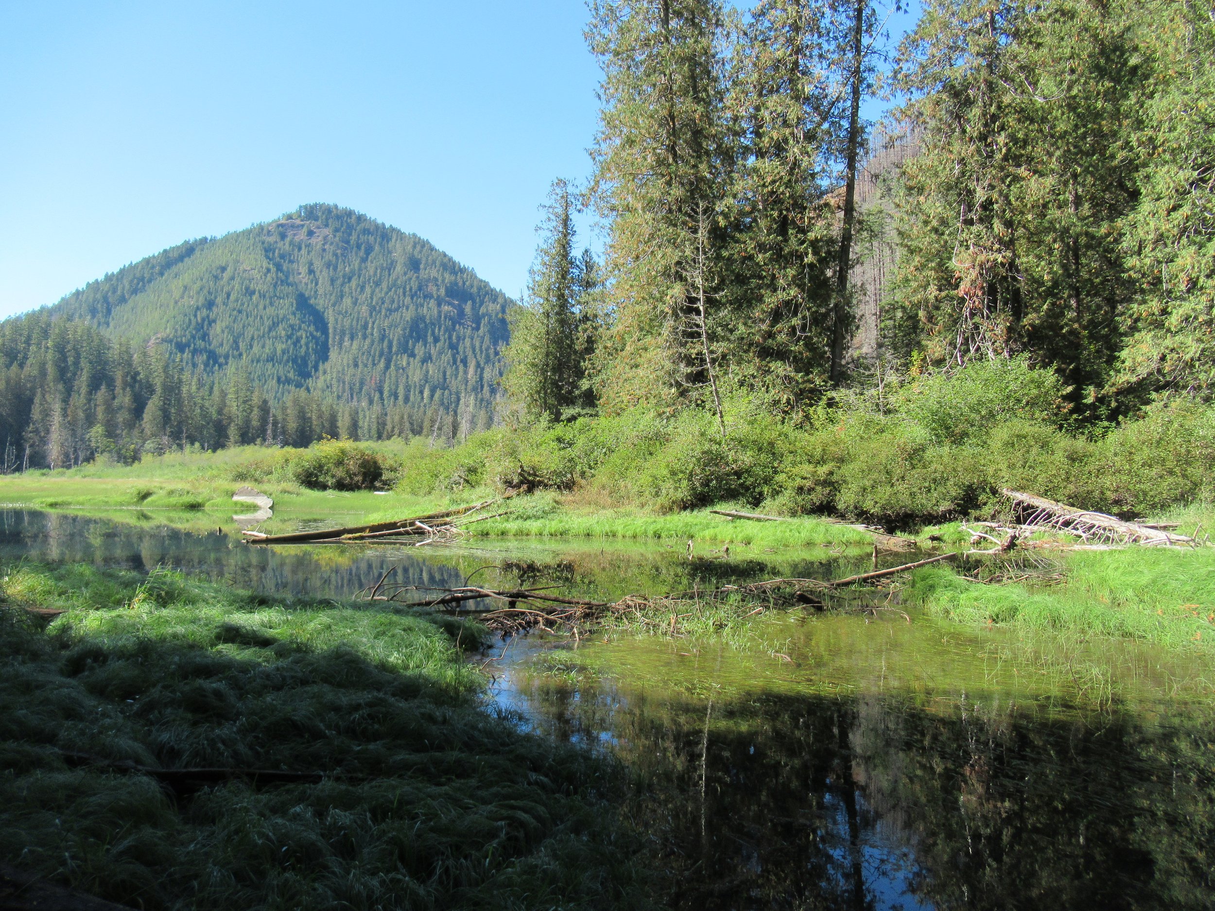
Named for one of the Olympic Peninsula’s most majestic animals, the two small Elk Lakes located within the Hamma Hamma River Valley offer quiet wanderings and a chance to see their namesake. The Elk Lakes offer a great alternative to the nearby oft-crowded Lena Lakes. While this hike is short, the lake’s tranquil shoreline and surrounding old-growth forest invite lingering. Bird watching is good as well as fishing for rainbow trout. Rhododendrons add colorful bouquets to the forest in spring, while maples and cottonwoods brighten the forest with golden touches come autumn.
By Craig Romano, Guide book author and guest columnist
Named for one of the Olympic Peninsula’s most majestic animals, the two small Elk Lakes located within the Hamma Hamma River Valley offer quiet wanderings and a chance to see their namesake. The Elk Lakes offer a great alternative to the nearby oft-crowded Lena Lakes. While this hike is short, the lake’s tranquil shoreline and surrounding old-growth forest invite lingering. Bird watching is good as well as fishing for rainbow trout. Rhododendrons add colorful bouquets to the forest in spring, while maples and cottonwoods brighten the forest with golden touches come autumn.
Hit the Trail
You can easily reach the lakes from a short spur off of Forest Road 2480. But I prefer hiking to the lakes following along a remnant of an old trail along Jefferson Creek. This gives you a longer and varied hike and a better appreciation for the area’s rugged landscape and how human activity has greatly impacted it. Reaching the trailhead for this approach however is via a rough road that only high clearance vehicles can negotiate. If that is not an option, you can always park at the beginning of the road and walk FR 2421 for 1.6 miles to the trailhead. The road traverses a recent cut offering excellent views of the Hamma Hamma Valley, making the extra mileage interesting.

The trail begins at a bend in the road and heads into a forest that was recently burned. In the early part of the last century the entire Jefferson Creek Valley was draped in old-growth forest. After World War II and up to the 1990s the area was intensively logged leaving only remnant stands of old-growth forest and just a small stretch of was once a long trail in the Eastern Olympics. But what survived made a delightful short hike in an area often overlooked by many hikers opting instead for the nearby Lena Lakes.
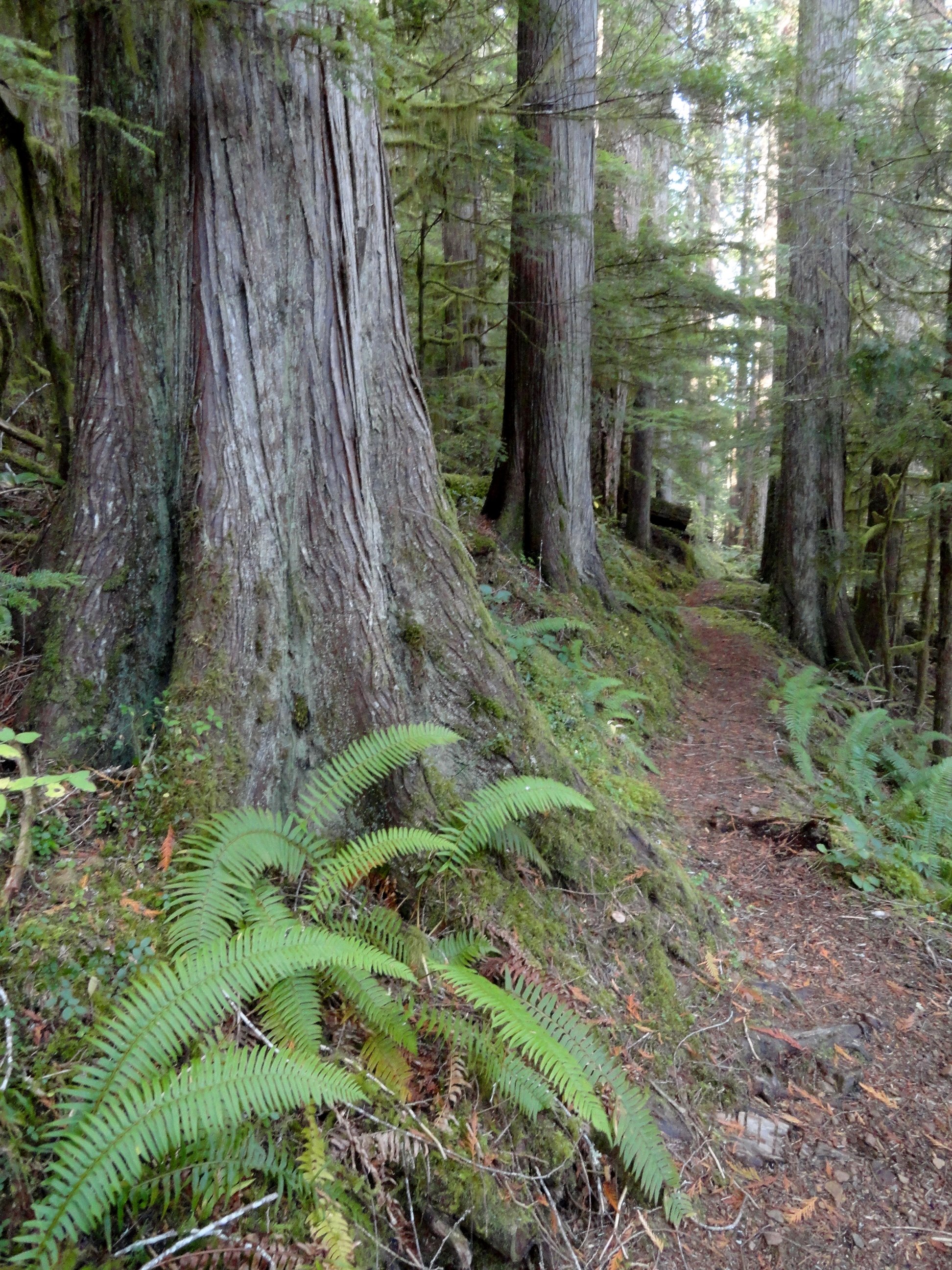
The beautiful old-growth forest remaining around the Elk Lakes almost entirely went up in flames in the Maple Fire of 2018. A group of timber poachers harvesting mature big-leaf maples in the area set the area ablaze when they set fire to a wasp nest in the base of a tree. The fire quickly spread torching 3300 acres and costing $4.5 million to combat. Two of the poachers were ultimately caught, brought to trial and given prison terms. Timber poaching remains a serious problem on the Olympic Peninsula. The Forest Service lacks the staff and resources to address it.
While the fire did some damage to the Elk Lake area, thankfully many of the older trees survived. Unfortunately the fire took a major toll on nearby Jefferson Ridge rendering the trail to its old lookout site nearly impassable now. Such a shame as that trail too offered a quiet alternative to many of the area’s nearby crowded trails.

Head up the trail traversing a dry hillside, several hundred feet above roaring Jefferson Creek. Born in the snowfields of Mount Ellinor and her rugged neighbors; the creek crashes through a steep and narrow canyon here before reaching the Hamma Hamma River. Pass through a mosaic burn on an up and down course before reaching cool old-growth forest.
The way then soon reaches a junction. Heading left will bring you to the upper trailhead. But for this suggested hike, you’ll be returning from that direction, so continue hiking straight through a grove of monster cedars coming to Elk Lake. Depending on the season the lake may be a wet grassy swale or a pretty reflecting pool. Regardless of water level, plenty of birdlife will be present.
Continue along the western shore before wandering along Jefferson Creek through more impressive old growth. The trail then terminates on FR 2401. You can retrace your steps, but I prefer making a loop by following the road left for 0.8 mile to another trail just after crossing Cedar Creek. But before heading down that trail back to Elk Lake, head right 0.2 mile on an oft overlooked and slightly brushy trail to pretty little Upper Elk Lake. This placid body of water offers beautiful reflections of nearby ridges and the surrounding forest.
Once you visit the Upper Lake pick up the trail near Cedar Creek and slightly descend to Elk Lake now hiking along its eastern shoreline. Pass some more big trees and come to a great shoreline area for casting a line or just admiring the area’s beauty. Then reach another junction.
The way right climbs and soon reaches the main trailhead on FR 2401. Continue left, soon crossing Jefferson Creek on large rocks. In spring and other periods of high water this may be difficult forcing you to retreat the way you came for a longer than anticipated hike. Just beyond the crossing reach a familiar junction. Here head right above the crashing creek retuning to your start.
The details
Distance: 4.5 miles roundtrip
Elevation Gain: 700 feet
High Point: 1200 feet
Difficulty: moderate
Snow free: year round Trailhead Pass Needed: None
Notes: Road to Lower Trailhead (Elk Branch) is extremely rough requiring a high clearance vehicle.
GPS waypoints: Lower Trailhead: N47 34.759 W123 07.222
Main Trailhead: N47 34.267 W123 08.008
Features: kid-friendly, dog friendly, old-growth, rhododendrons, bird-watching, fishingLand Agency Contact: Olympic National Forest, Hood Canal Ranger District, Quilcene, (360) 765-2200, fs.usda.gov/olympic
Recommended Guidebook: Day Hiking Olympic Peninsula 2nd edition (Craig Romano, Mountaineers Books)
Trailhead directions: From Hoodsport travel north on US 101 north for 13.7 miles turning left at milepost 318 onto FR 25 (Hamma Hamma River Road). Then continue west for 6.4 miles and turn left onto FR 2480. Cross the Hamma Hamma River and in 0.2 mile turn right onto unsigned FR 2421 for the Lower Trailhead (high clearance only). Follow this rough road 1.6 miles to a pullout on your left where the road makes a sharp turn right. This is the trailhead. For the Main Trailhead, pass the FR 2421 junction and continue on FR 2480 for 3 more miles. Then turn right onto FR 2401, and proceed 2.5 miles to a spur on your right leading 0.1 to the Main Trailhead. The spur is steep and can be rough. You can park alongside FR 2401 and walk the spur to the trailhead.
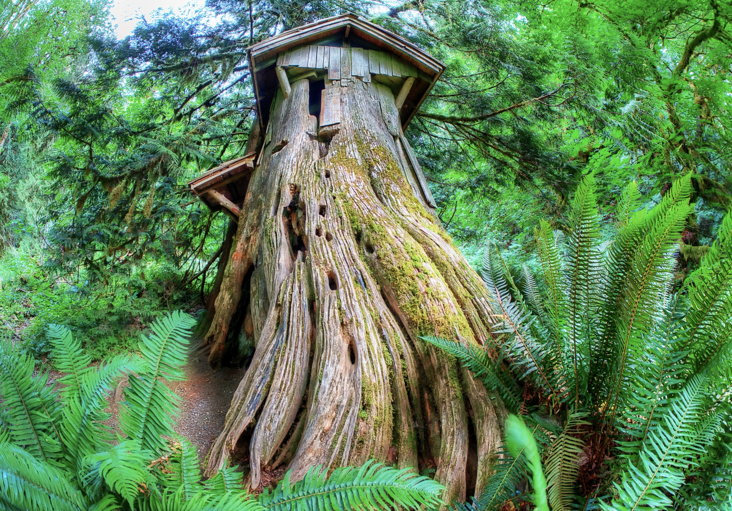
Discover magic in the Guillemot Stump House
Imaginations are inspired by the Stump House, a large hollowed out Red Cedar that has been outfitted with a door way, window openings, and a split-shingle roof.
Story: Stella Wenstob; Photos: George Stenberg
Nestled in a 200-year old maple grove, just 4.5 miles outside of Seabeck is a well-hidden gem, Guillemot Cove Nature Reserve. With several easy loop trails and beach access offering views of the Hood Canal and the Olympic Mountains, this park is a great place to bring the whole family!
“Imaginations are inspired by the Stump House, a large hollowed out Western Red Cedar stump that has been outfitted with a door way, window openings and a split-shingle roof.“
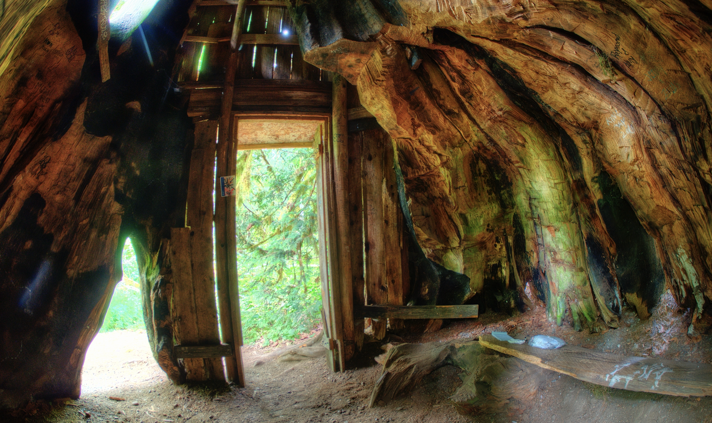
Inside the stump house | photo: George Stenberg
Local legend holds that the Stump House was originally built by Dirty Thompson an escaped convict. The notches carved in the large stump also gives evidence to springboard logging practices, which dates the stumps creation to the 1890s.
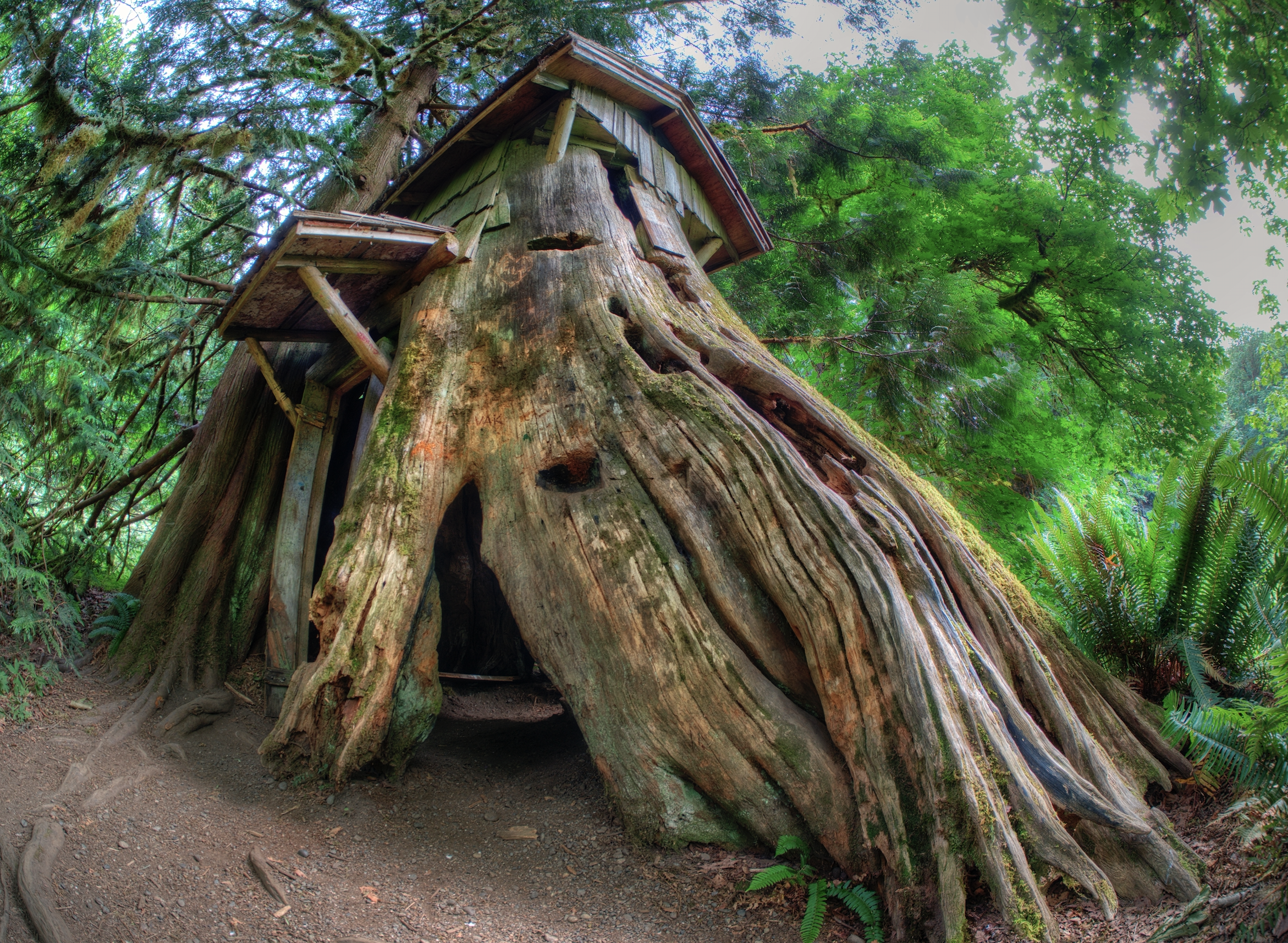
Stump house showing the springboard holes | photo George Stenberg
Loggers would carve notches in the tree to insert springboards above the flare of the roots on the tree so that they could stand on them while they laboriously cut the tree down with large handsaws.
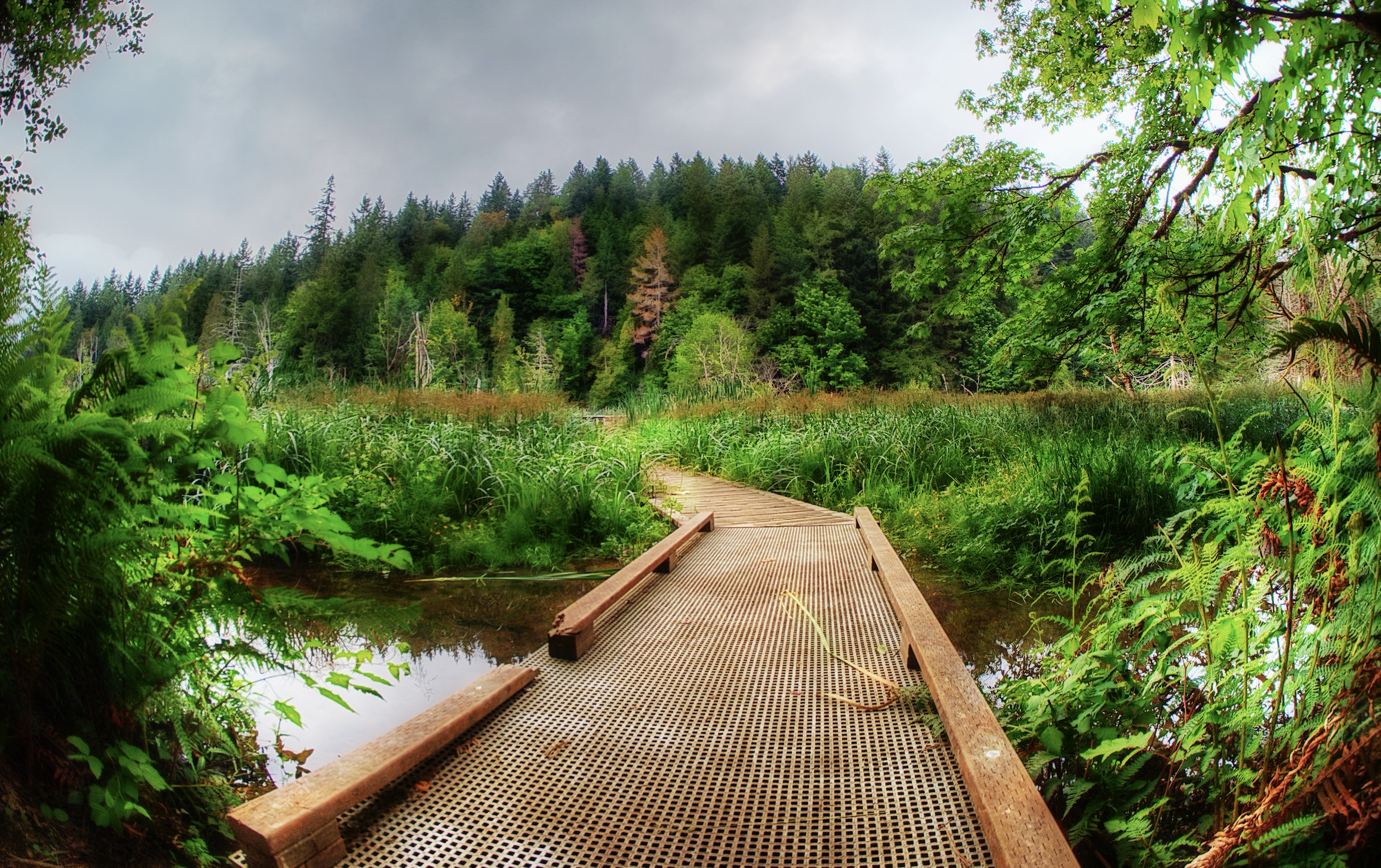
Boardwalks mark the trail to the Stump House | photo: George Stenberg
The park was originally a labor of love of the Reynolds family who bought the property in 1939. Avid bird watchers, the Reynolds renamed the cove “Guillemot” after the black and white birds that frequented the cove. In 1993, after many years of enjoying and caring for the land the family sold the property to the Trust for Public Land to preserve the natural beauty.

photo: George Stenberg
Planning your trip to the Stump House
The trails in the Guillemot Cove Nature Reserve are all natural surface trails. The 184 acre park can be found at 19235 Stavis Bay Road NW, Seabeck. The park feature saltwater beach access and walking trails. No restroom facilities available at this site. Dogs are not permitted. The Reserve has a “Pack it in – Pack it out” policy. Please bring a bag or other container for trash and take it when you leave.
Directions: From Hwy.3, take Newberry Hill exit; travel to Seabeck Holly Road; turn right. Drive to Miami Beach Road; turn right - drive to "Y"; veer left onto Stavis Bay Road. Drive 4.5 miles to the entrance and parking lot.

The Guillemot Cove Reserve is managed by Kitsap County Parks | Download map and trail guide


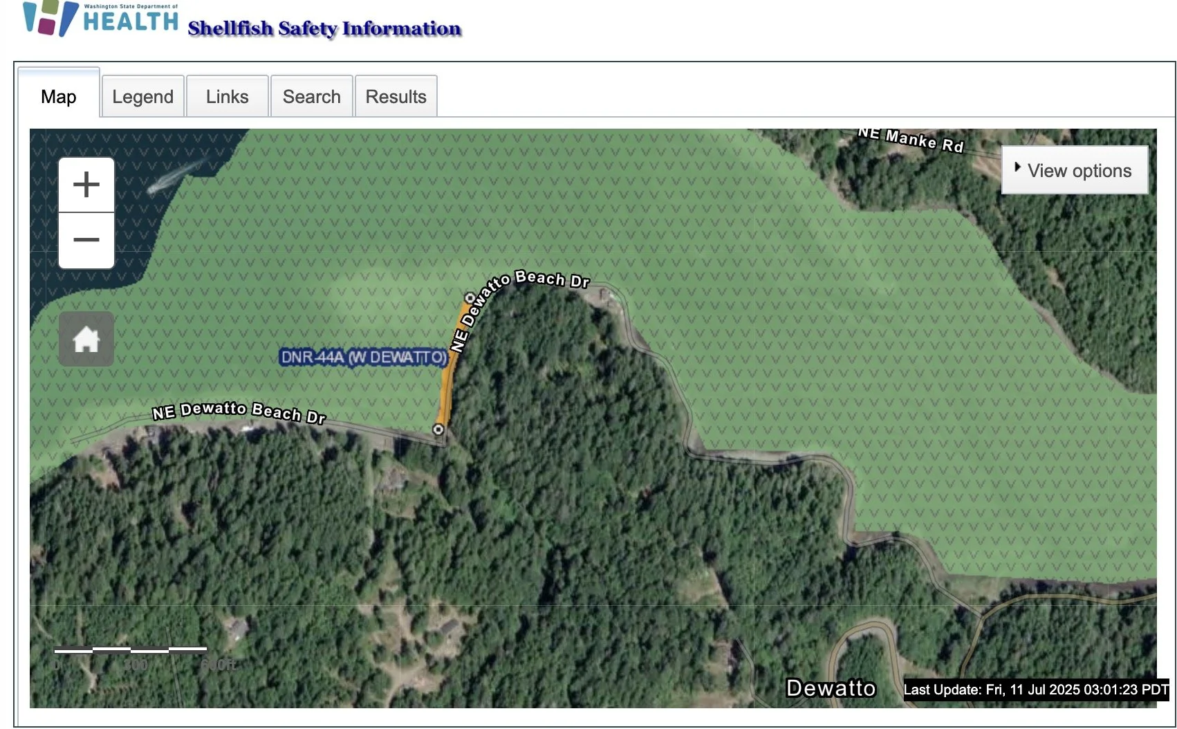


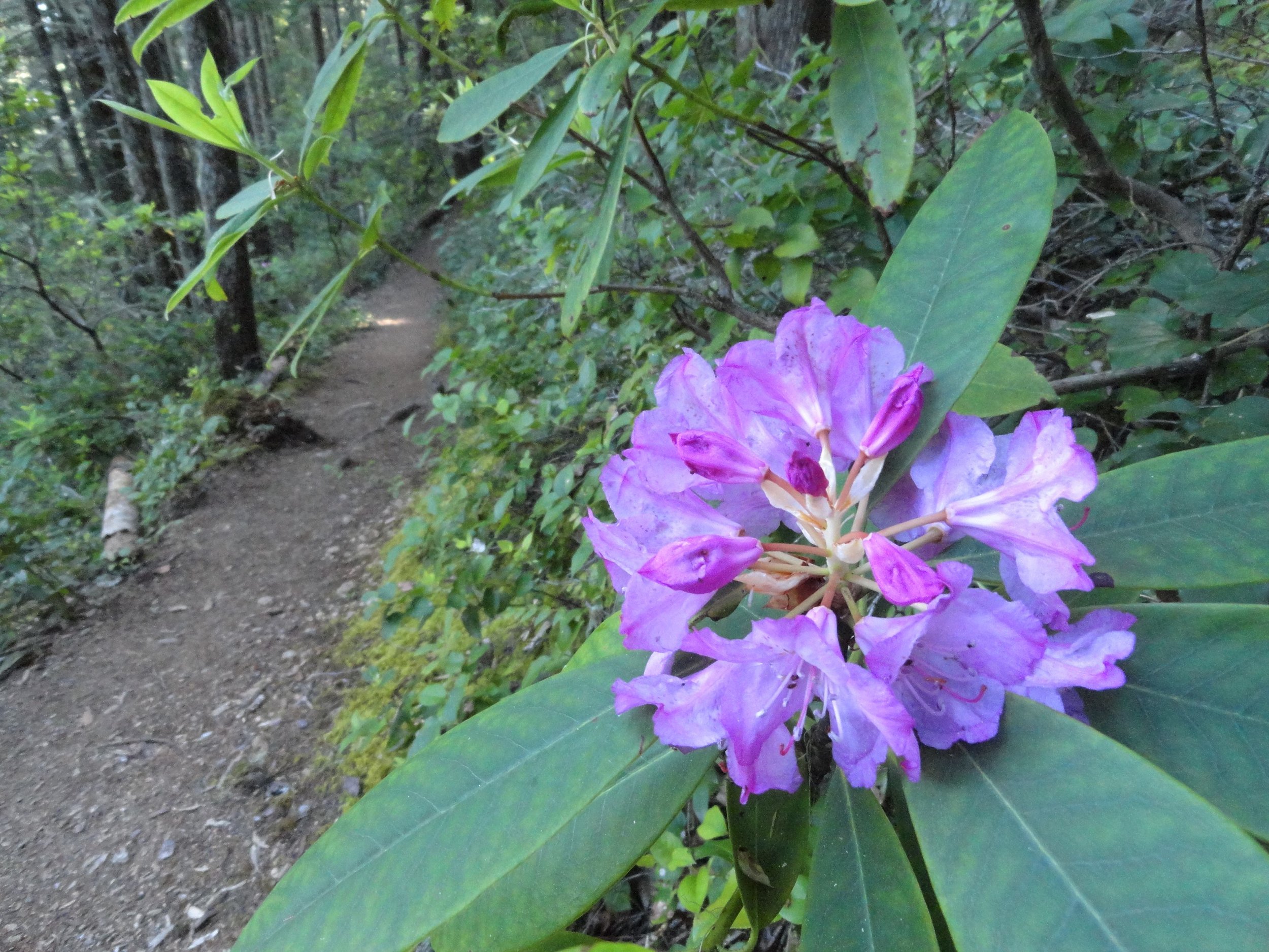


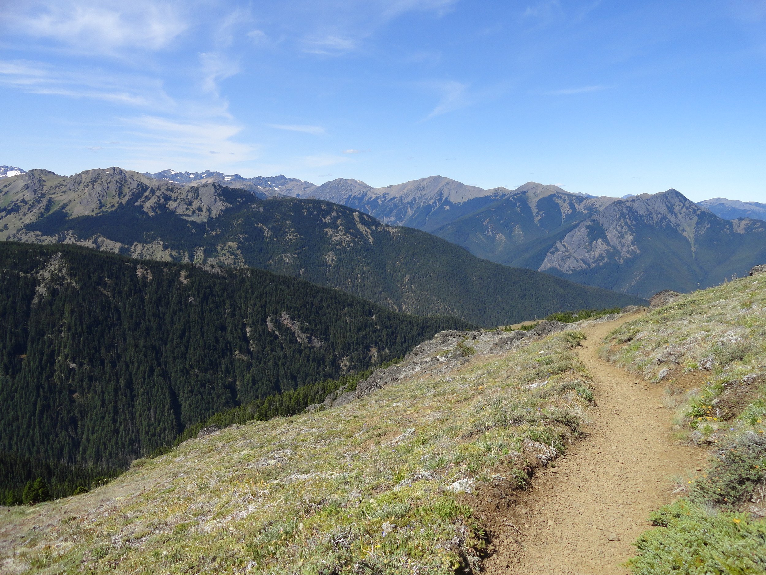

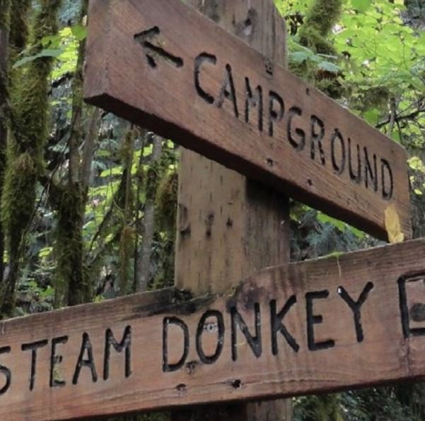
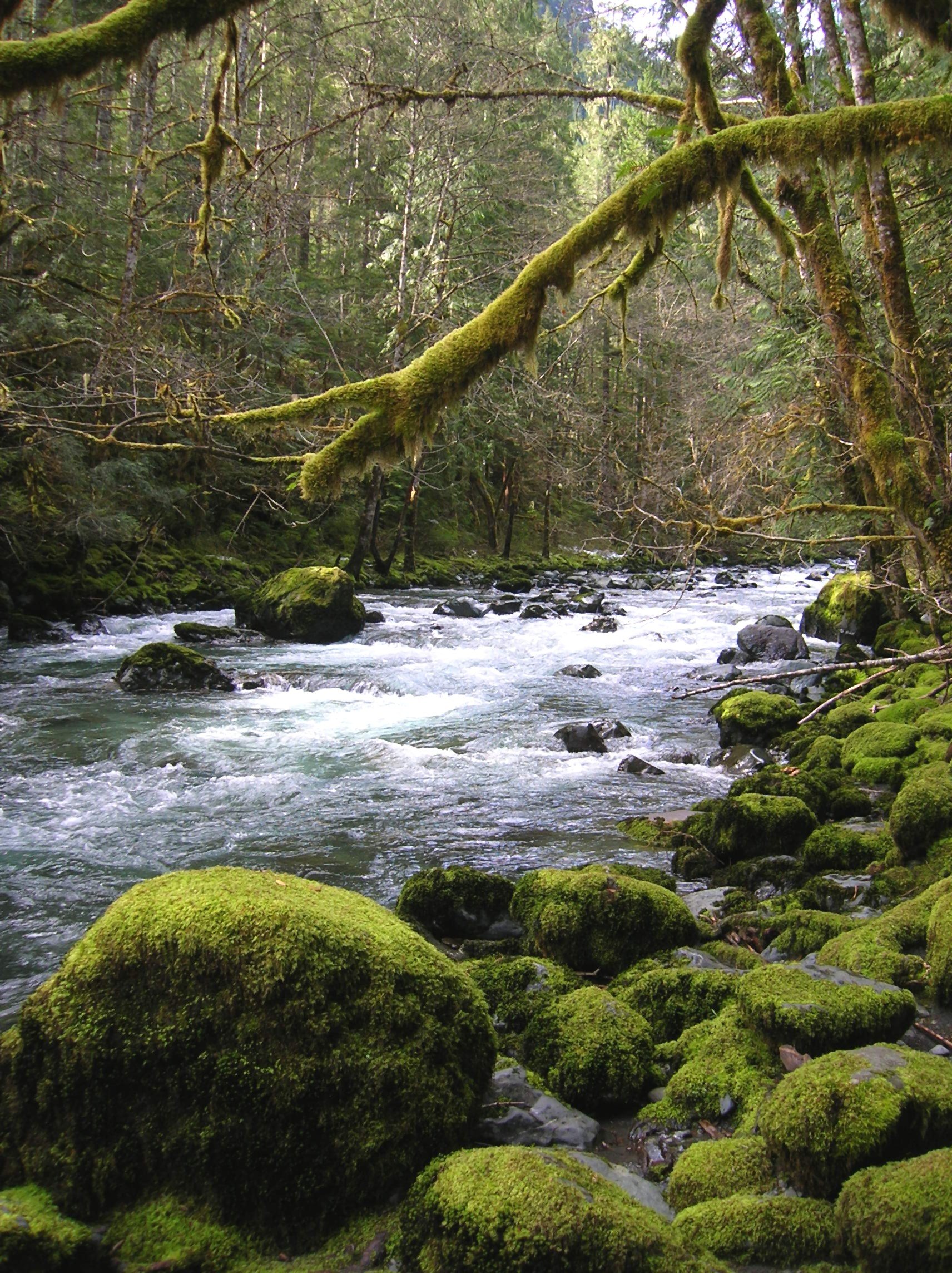
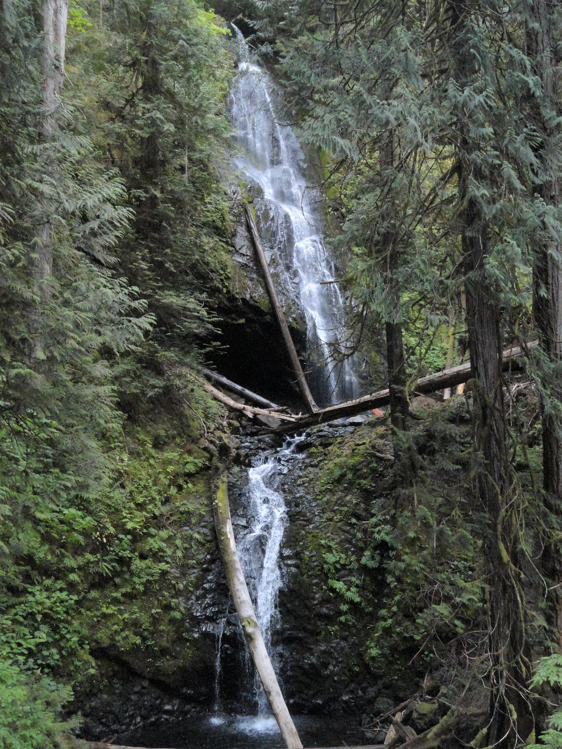

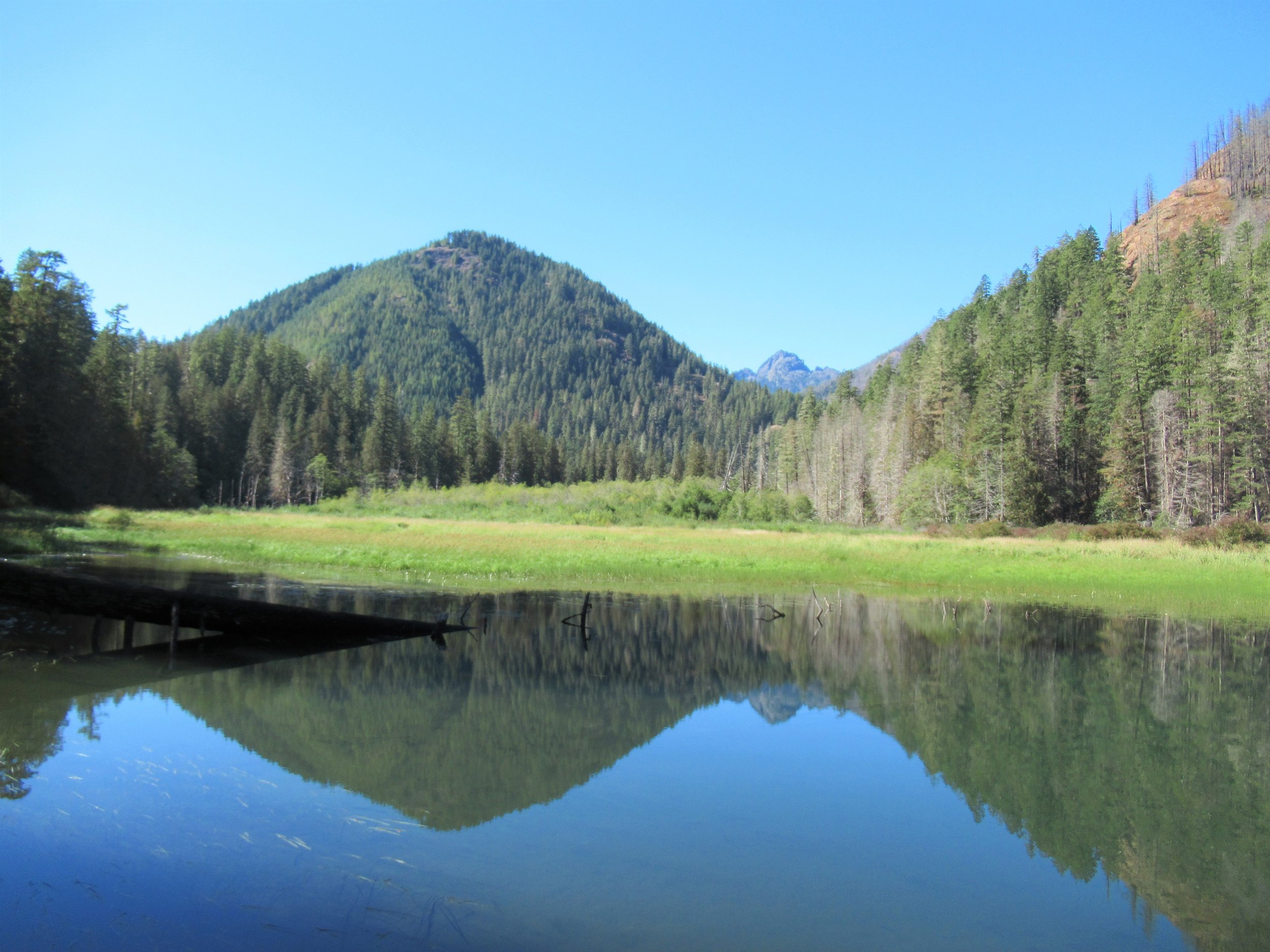
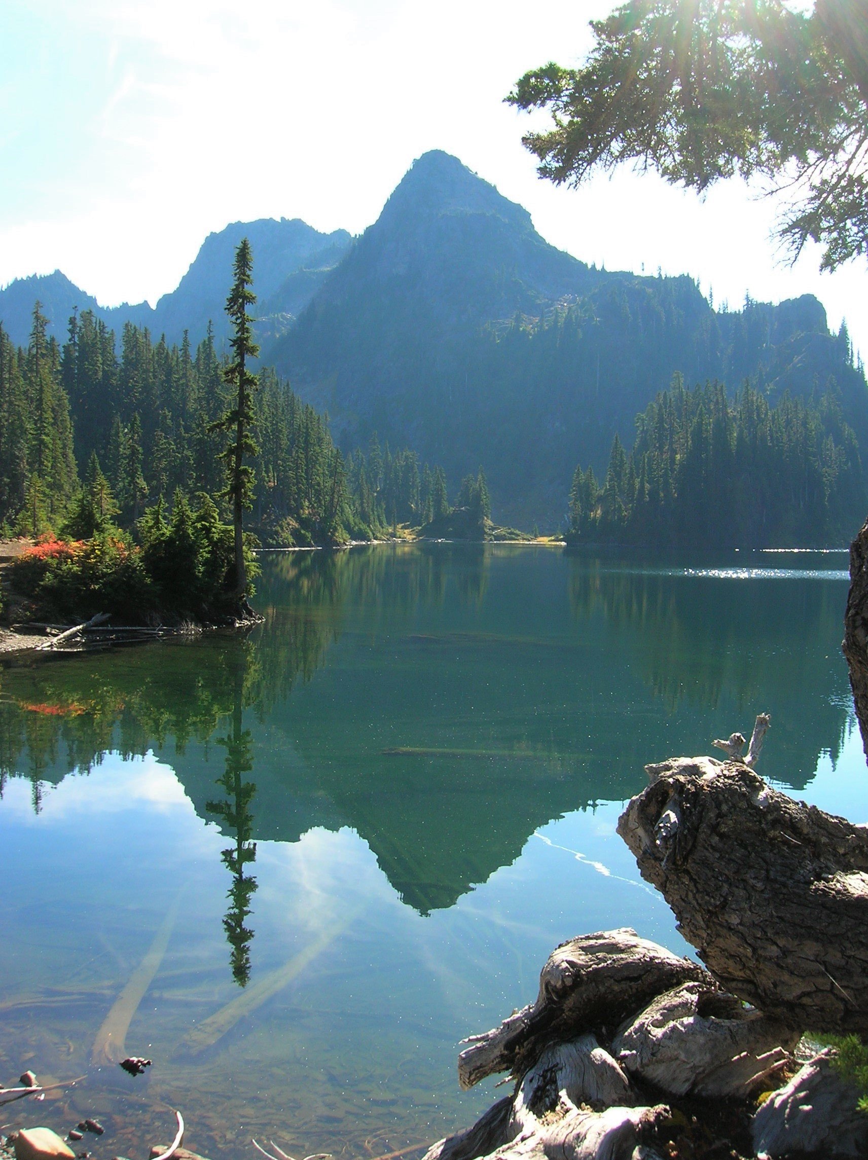
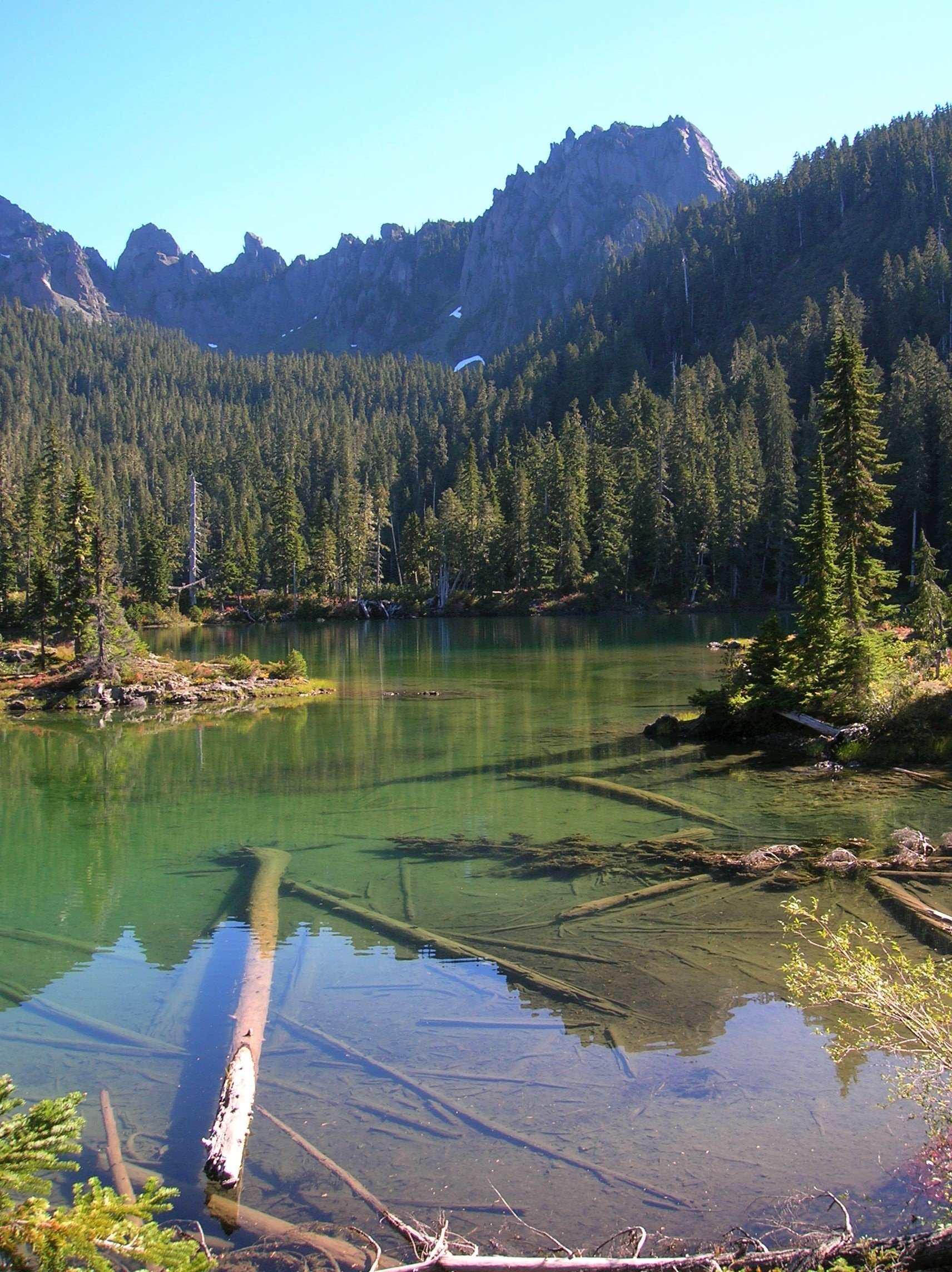


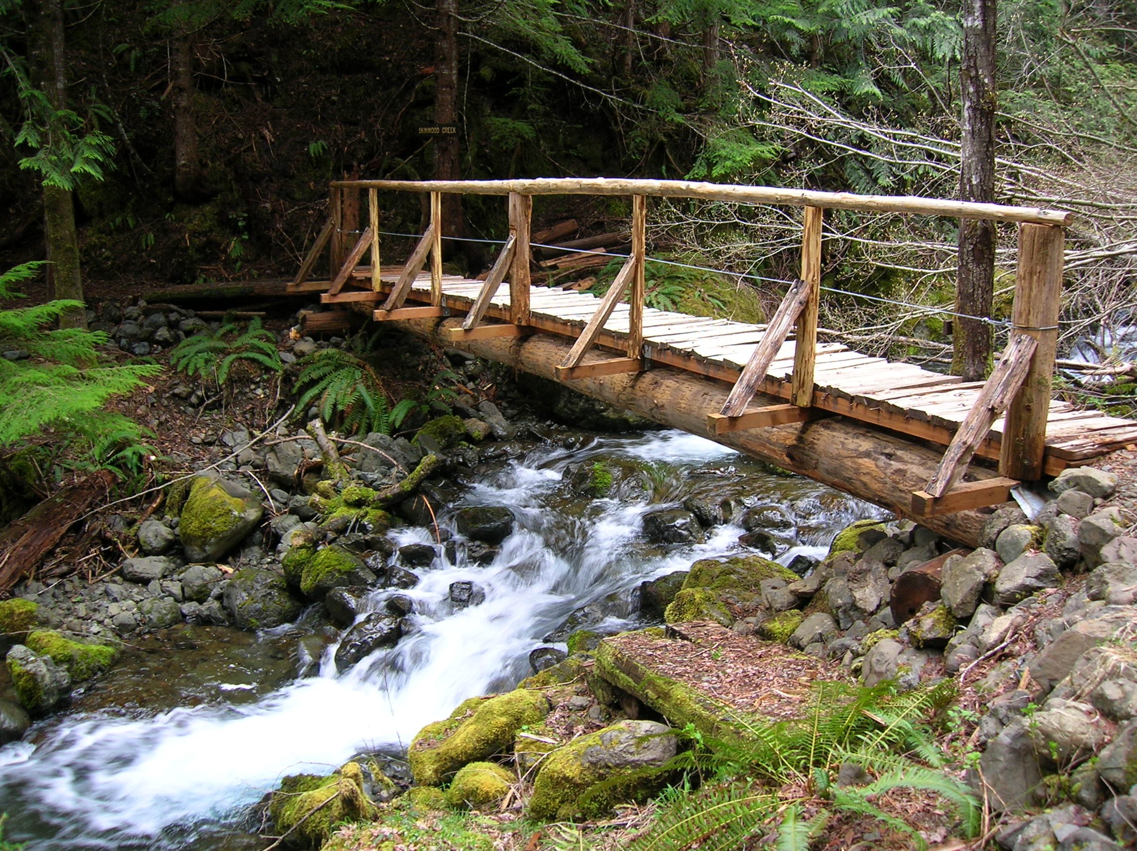


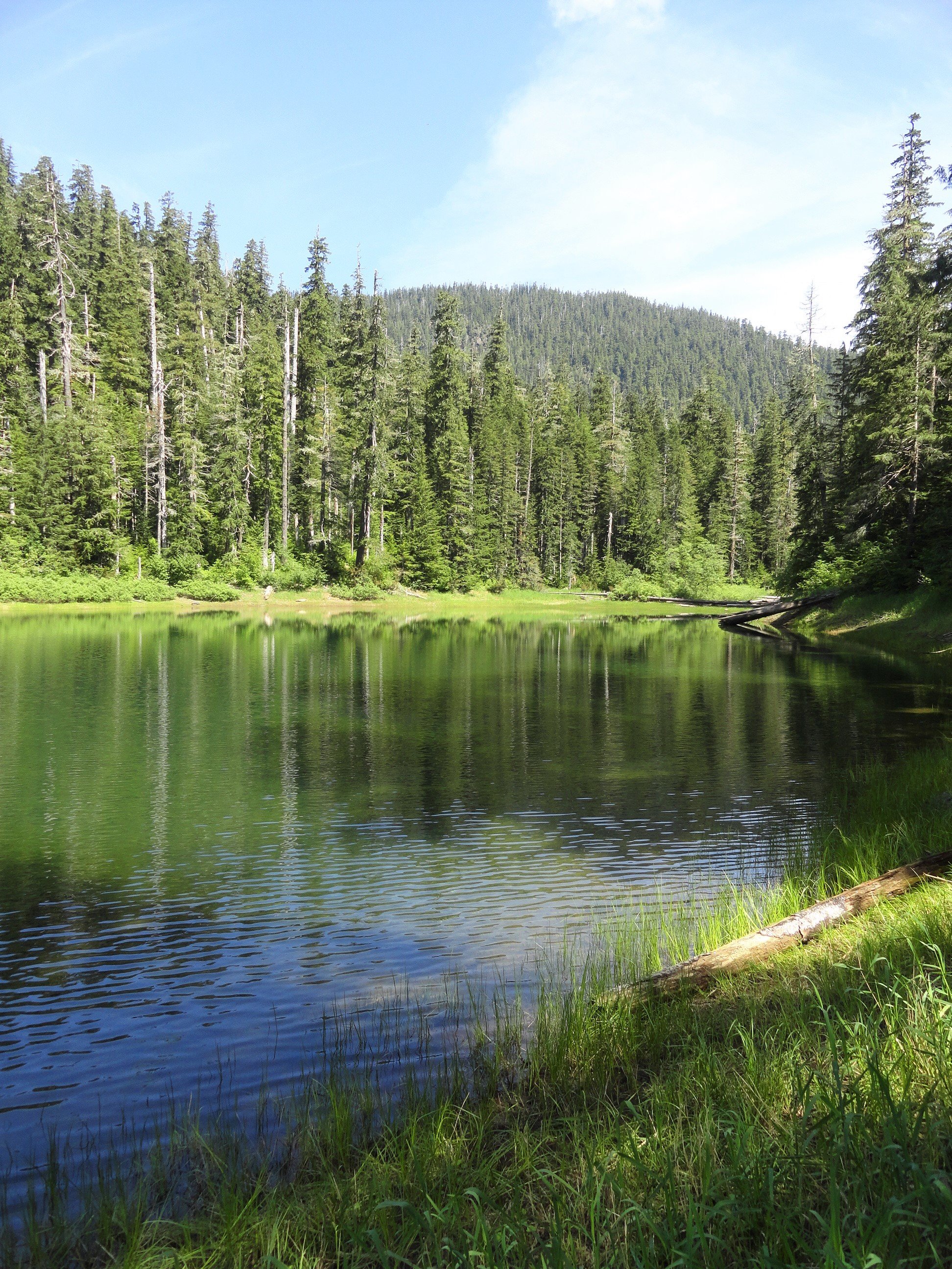
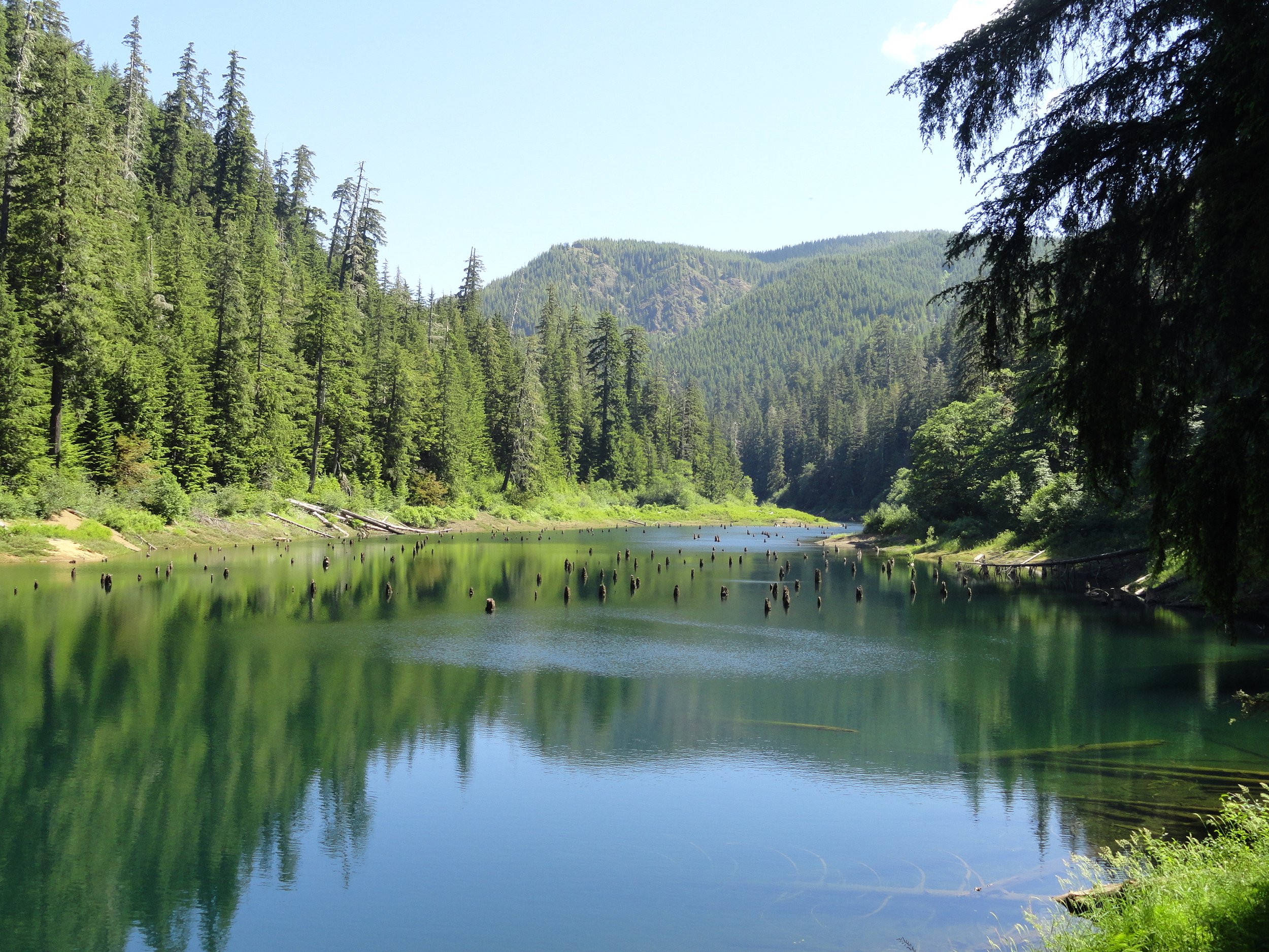
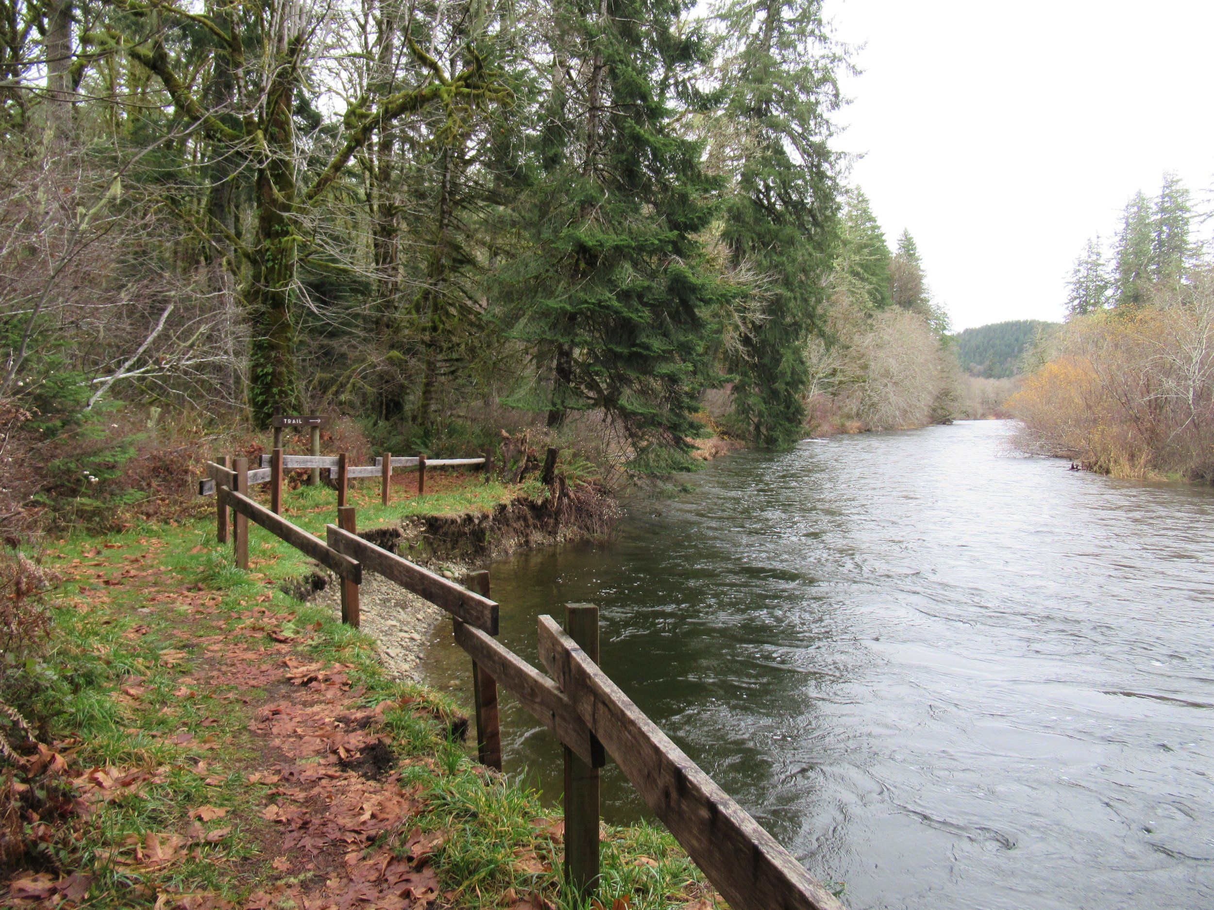
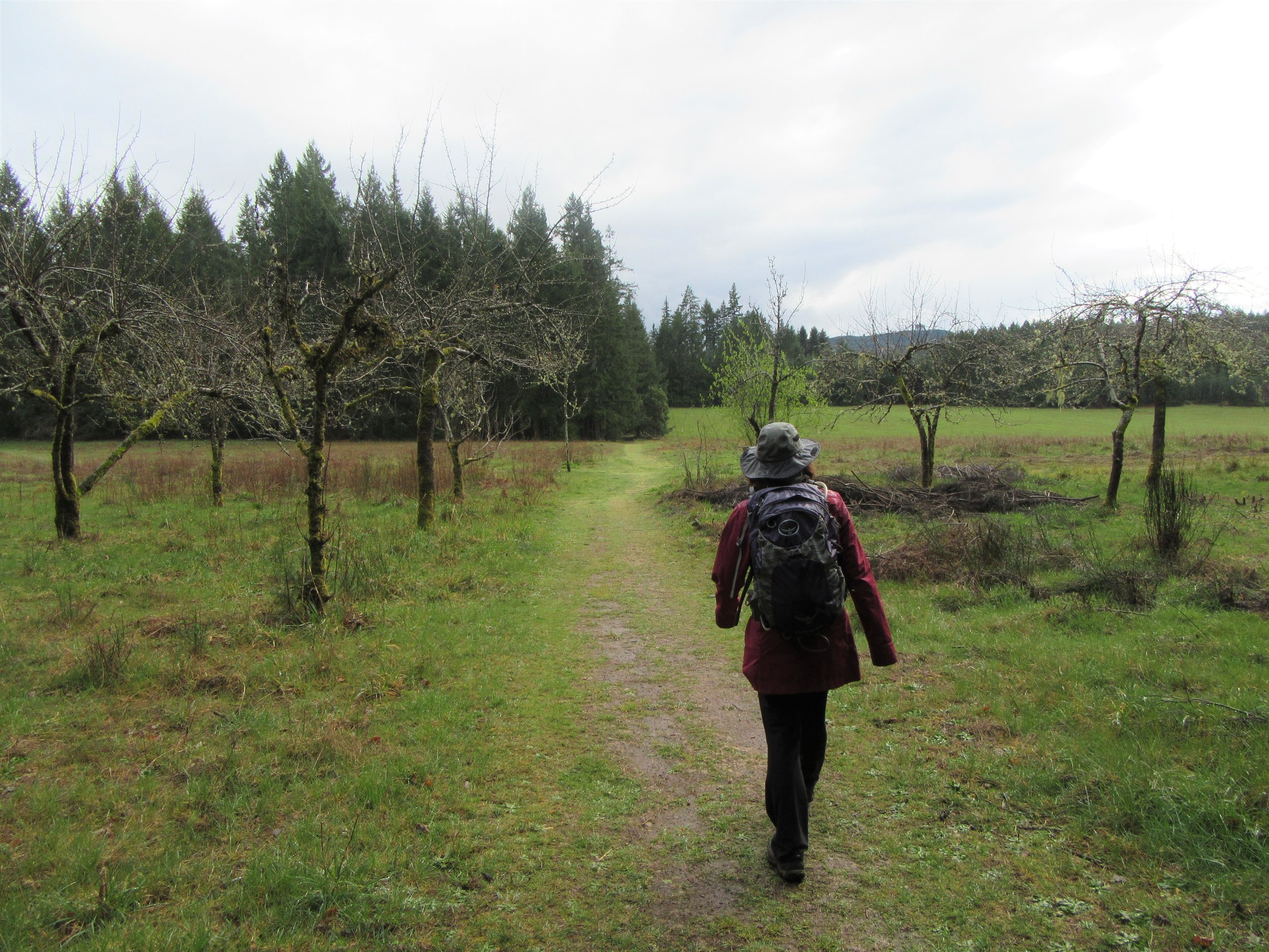
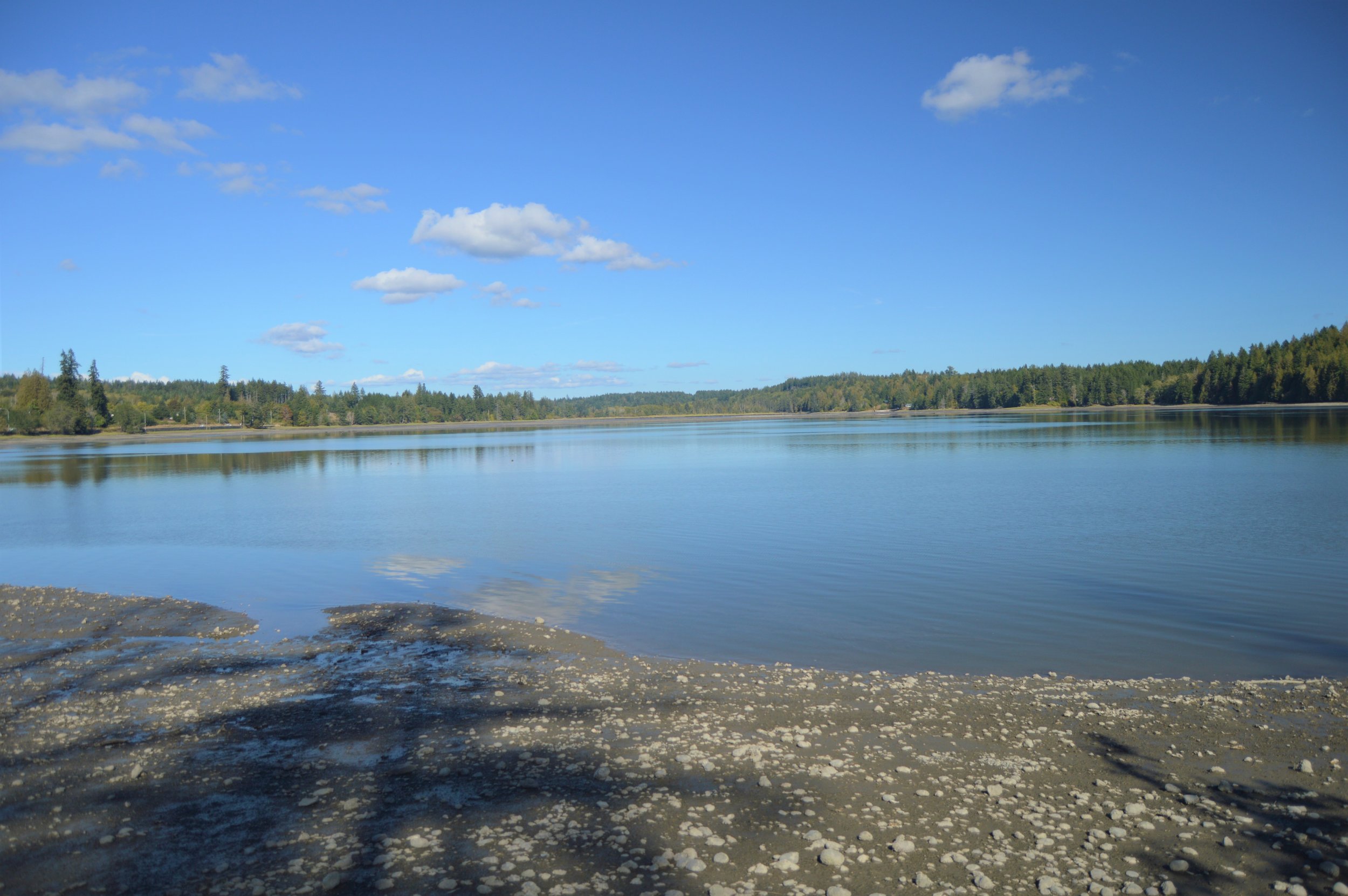

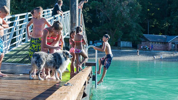
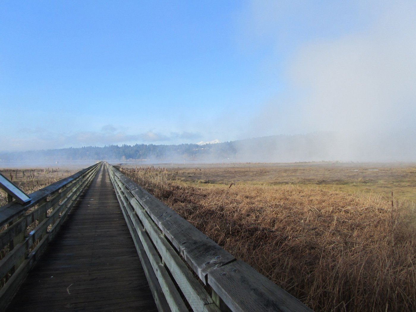
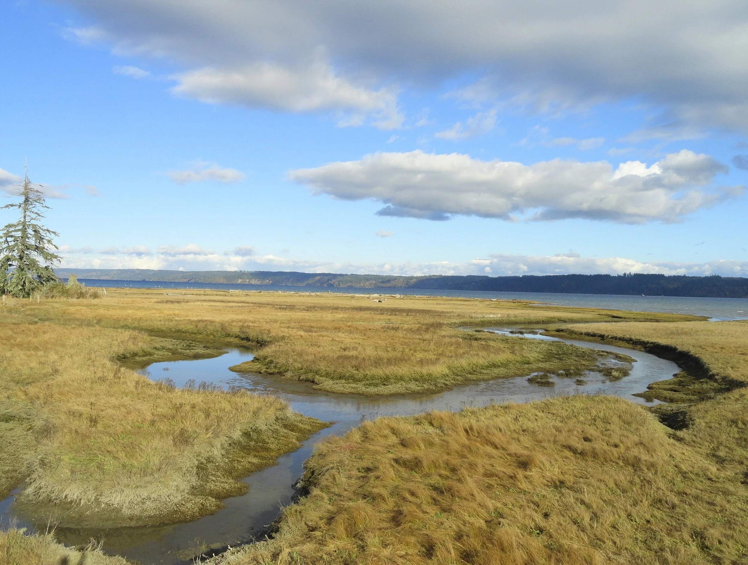
Do the Dosewallips
Well-known for its year-round family-friendly campground (complete with yurts) and excellent fishing and shell fishing opportunities, the park also contains a wonderful network of year round accessible hiking trails.
Craig Romano, author
Dosewallips State Park consists of more than 1000 acres of prime wildlife habitat along the Dosewallips River at its delta on Hood Canal. Well-known for its year-round family-friendly campground (complete with yurts) and excellent fishing and shell fishing opportunities, the park also contains a wonderful network of hiking trails. Saunter out to wildlife rich tidal wetlands on Hood Canal or explore quiet groves of mature forest graced with thickets of rhododendrons and cascading creeks. Hike along the glacier-fed Dosewallips River too. And retrace the route of an old railroad grade while sleuthing for relics of the area’s bygone logging days.
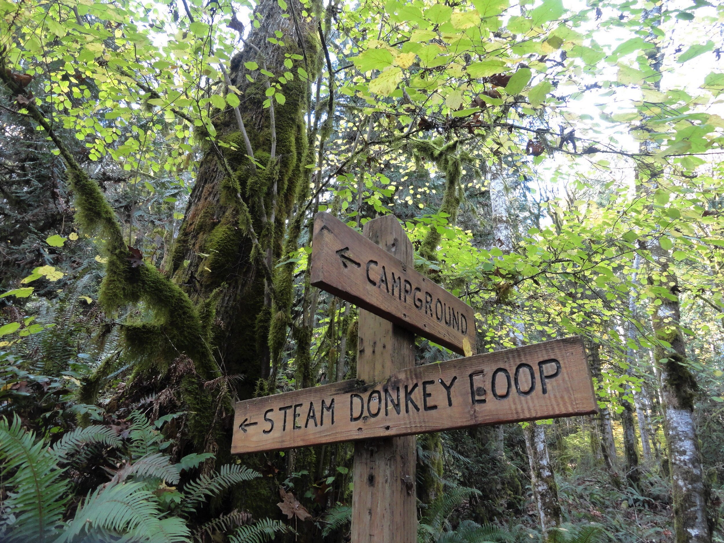
Photo credit: Craig Romano
Hit the Trail
There are nearly five miles of trails in Dosewallips Park to explore with your family. Most of them are interconnected allowing for some loop options. An excellent 3.6 mile loop around a good portion of the park’s periphery can be made by following the Maple Valley and Steam Donkey Trails.

Start this loop hike from the ranger station by walking a short distance northwest up the dirt road signed for the Maple Valley Trail. After passing through the Meadow Group Camp, reach the Maple Valley Trailhead. Now head up the trail and soon come along the Dosewallips River.
Legend has it that Dos-wail-opsh was a Twana Indian who was turned into a mountain, forming the source of the Dosewallips River. From his lofty position in the Olympic Mountain wilderness, this transformed Native American did well by creating one of the peninsula’s most wild and scenic rivers.
The Twana once had a village at the mouth of the river on Hood Canal. In 1855 the Treaty of Point No Point resulted in many of the Twana people being relocated to the small Skokomish Reservation located at the mouth of the South Fork of the Skokomish River.
Hike along the river through a forest of cedars, cottonwoods and of course—maples, both bigleaf and vine. In fall the maples add touches of gold to the forest. Scan the forest for elk. They are prolific in this area and are frequently sighted in the state park. If you don’t see any of this hike, you’ll probably see plenty of signs of their presence.
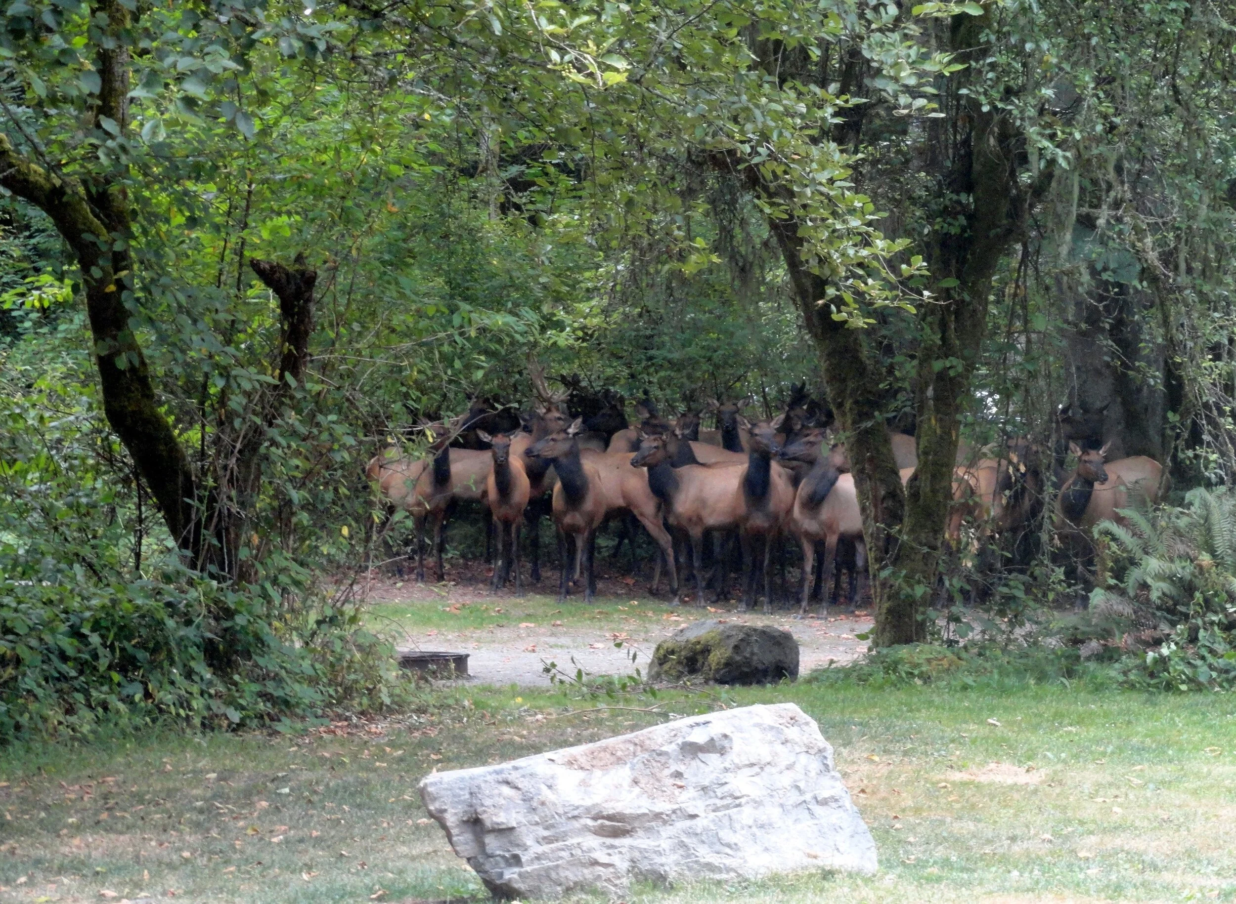
Photo Credit: Craig Romano
Continue along the trail hugging a steep slope above a river channel. The way then reaches a junction with the Rhody Cut-off Trail. You’ll be returning on that trail for this loop—so continue right. The way now gently descends to a bridged crossing of cascading Phantom Creek.
Then it’s time to climb again as the trail ascends a steep bluff and moves away from the river. Washington State Parks has been working with several agencies to greatly increase the size of this park to protect more riverfront. Once public access can be secured, there are plans to construct a trail along the river from the state park to national forest land about five miles upriver. Much of the new protected river corridor will be included in the state park.
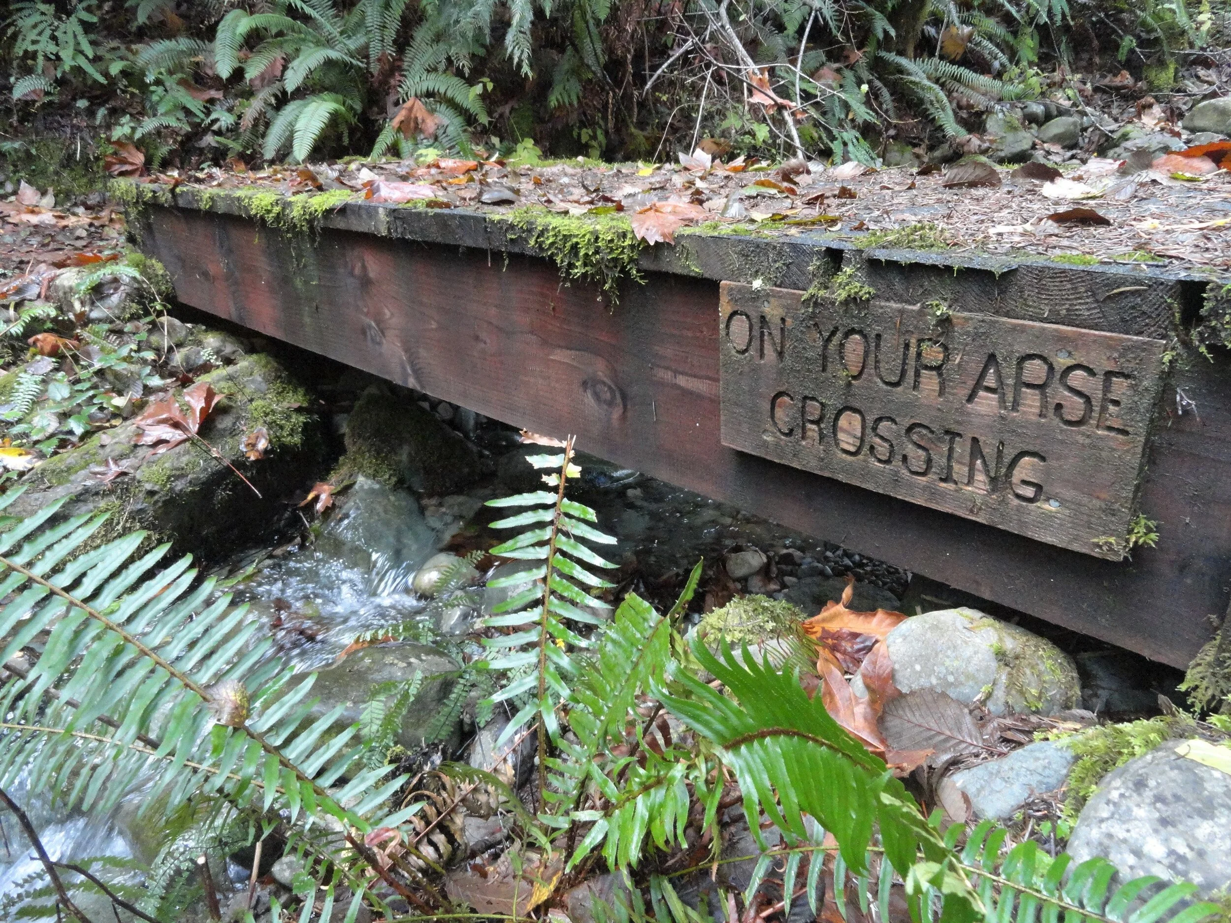
Photo Credit: Craig Romano
The Maple Valley Trail now bends southward skirting an old cut along the park’s current boundary. At about one mile from your start it reaches a fire road. The road can be used as a short-cut back to the campground.
To continue the loop proceed straight on the Steam Donkey Trail. Steam donkeys were steam powered winches used by loggers in the early twentieth century for yarding and loading downed timber.
Here as well as throughout much of the region timber was transported by rail to sawmills or to docks where it was floated to mills
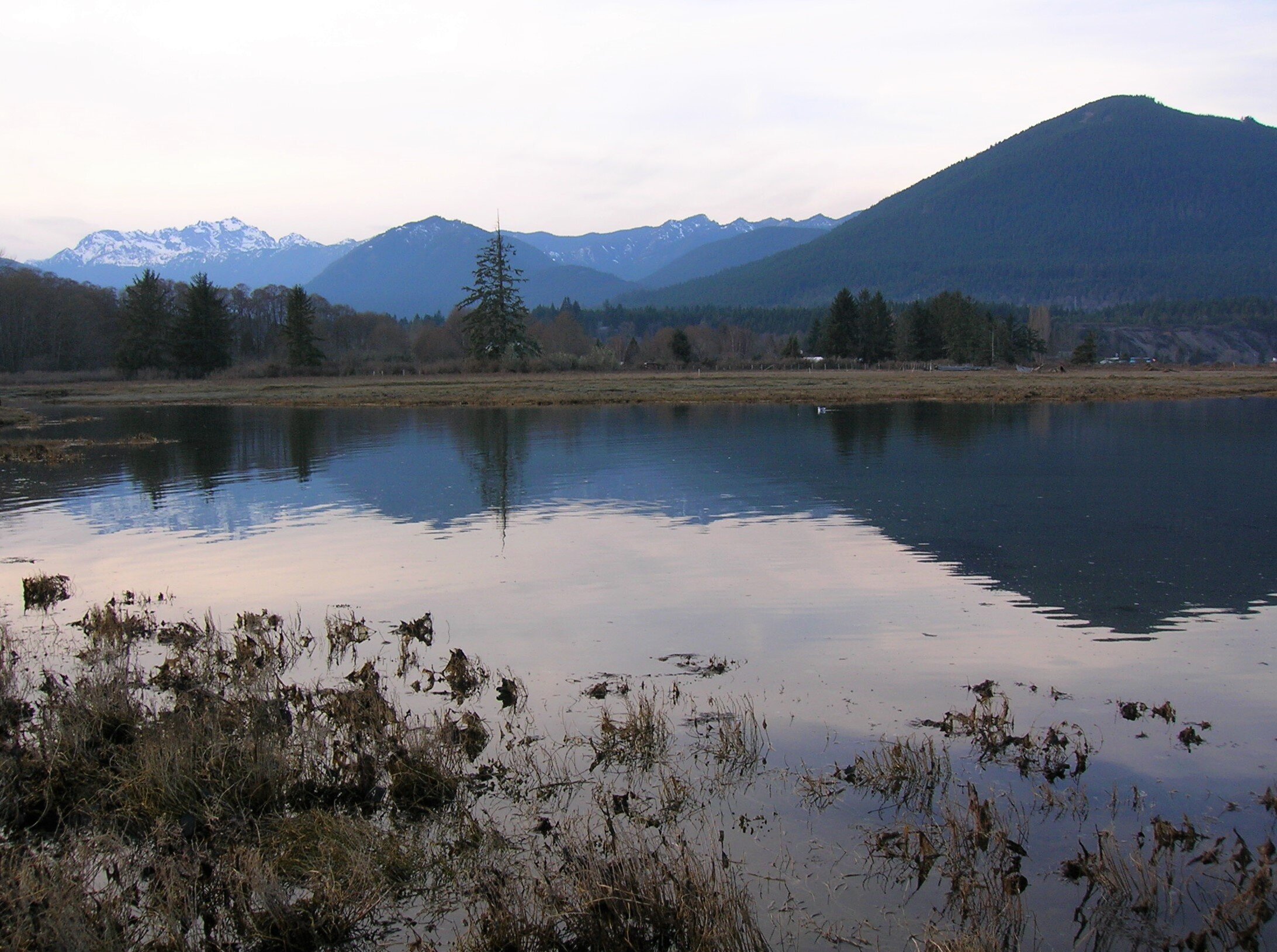
Photo Credit: Craig Romano
Running parallel to the Steam Donkey Trail and reached by walking just a short distance east on the Fire Road is the Izett Grade Trail. This trail follows a half mile stretch of an old railroad grade. The Izett Logging Company had constructed five miles of railroad in this area in the late 1890s. Logs were then transported to Hood Canal and floated to a mill in Seabeck. The Izett Grade Trail eventually reconnects with the Steam Donkey Trail and shortens the loop by only 0.1 mile.
The Steam Donkey trail continues south along the state park boundary gently climbing through maturing second growth. The trail passes a large fir struck by lightning in 2001 before crossing Phantom Creek. It then comes to a small bridge whimsically named the On Your Arse Crossing. The way then spans another cascading creek before cresting a ridge. It then begins a long gentle descent following an old road grade through maturing timber. After passing the southern end of the Izett Grade Trail the loop reaches a small dammed pool that once provided water to power the Izett Logging Company’s steam donkeys.

Photo Credit: Craig Romano
The trail then once again comes to the Fire Road. Cross the road and continue straight passing part of another stretch of old railroad bed. The logging railroads here were decommissioned in 1913 shortly after the logging company’s founder James Izett passed away. The trail next descends into a gulch coming to a junction. You can shorten the loop by heading right reaching the park road after crossing the short metal bridge
The recommended loop heads left now following the Rhody Cut-off Trail. It soon makes a bridged crossing of a creek shaded by attractive cedars; then veers left at a junction where a spur trail heads to a group camp. The trail then climbs a low ridge draped with rhododendrons. You’ll want to return to this stretch of trail in May or June. The Rhody-Cut-off Trail then loses elevation returning to the Maple Valley Trail. Return to your start by retracing a short stretch of trail to your right.
If you’ve got time and energy leftover, head over to the park’s North Tidal Trail. Follow this 0.3 mile trail to an observation deck near where the Dosewallips River drains into Hood Canal, creating a productive delta and estuary. Scan this ecologically rich ecosystem for seals and a wide array of birds.
Additional Details
Dog welcome but must be leashed while on the trail.
Land Agency Contact:
Dosewallips State Park
Recommended Map: Green Trails Olympic Mountains East 168S; State park map available at park ranger station.
Recommended Guidebooks: Day Hiking Olympic Peninsula 2nd edition (Romano, Mountaineers Books)
Trailhead Directions: From Shelton, drive US 101 north for 40 miles (From Quilcene drive US 101 south for 12 miles) to Dosewallips State Park entrance at milepost 307. Turn left (west) into camping entrance and proceed .3 mile to parking near ranger station.
Day-use parking is also available at picnic area and North Tidal Area Trailhead, trailhead facilities here include: privy, picnic area, ranger station, campground, and potable water.

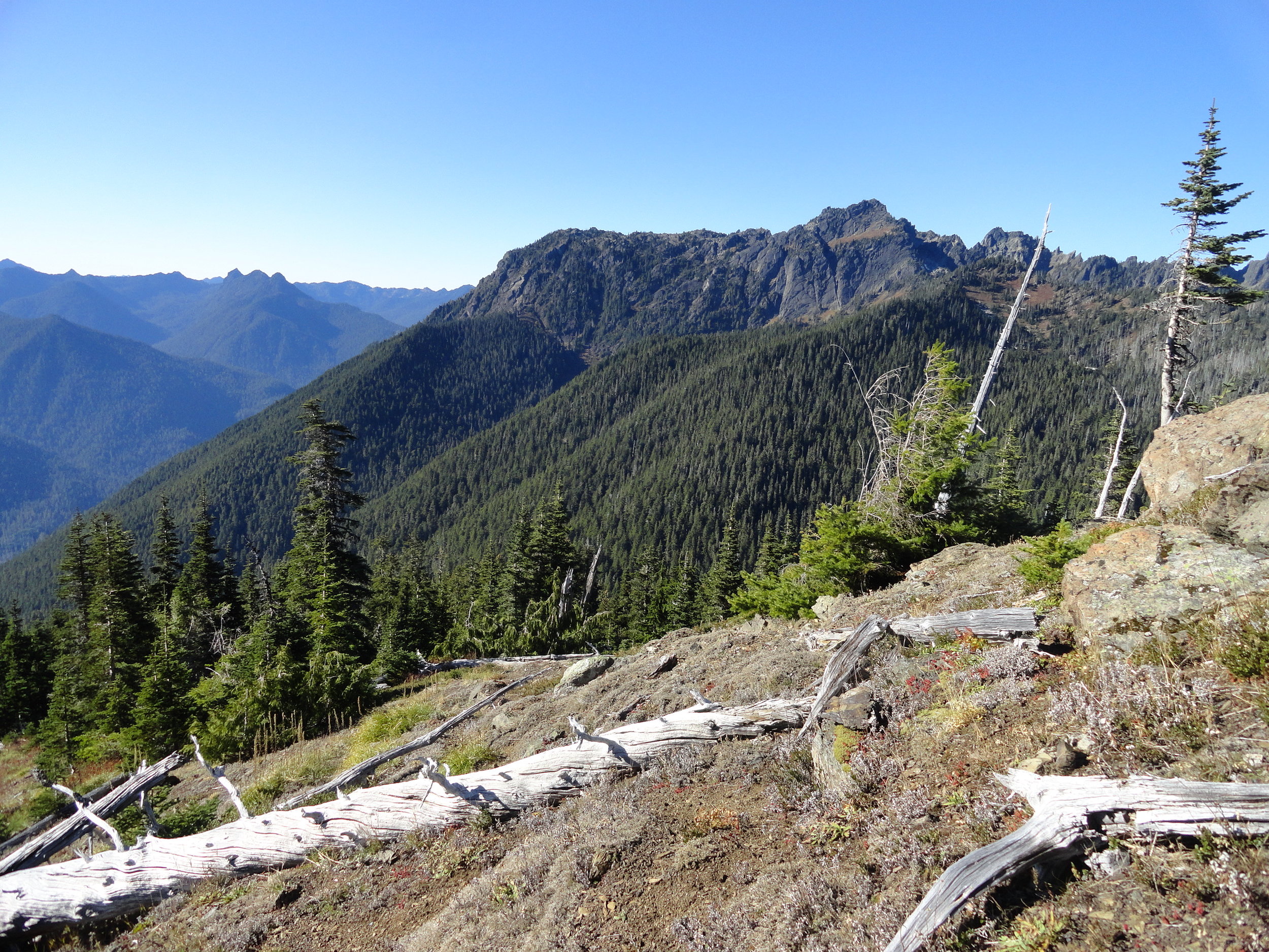
Wagonwheel Lake Hike features alpine views and solitude
One of the steepest trails in the Olympic Range, perhaps it's called "wagonwheel" because, as author, Craig Romano, puts it, "you’ll bust your axle" hiking this unforgiving climb if you are unprepared. Are you up for the challenge?
By Craig Romano
Craig Romano, is an author of more than twenty hiking guidebooks along with Day Hiking Olympic Peninsula 2nd Edition (Mountaineers Books), including 136 hikes on the Olympic Peninsula. craigromano.com
Utilizing tight switchbacks and no switchbacks at all, the Wagonwheel trail makes a grueling ascent up steep forested slopes. It’s a workout. There are some good, albeit limited views along the way. But you’ll probably feel short changed for the effort. In that case, summon your second wind and continue hiking heading up even steeper terrain to emerge at an unassuming peak granting sweeping views of craggy peaks, deep valleys, and some of the wildest and rugged terrain in the state.
"Old-growth forest, solitude, and alpine views await after a grueling ascent."
Hit the Trail

Sharing its start with the Staircase Rapids Loop and North Fork Skokomish River, don’t fret if the parking lot is packed. Almost all of those vehicles belong to hikers heading to those two other trails. Why not Wagonwheel Lake? Perhaps the sign at the trailhead does its job discouraging folks. It states that you’ll climb 3,200 feet in 2.9 miles followed by “Very Steep!” But even that assessment doesn’t correctly portray the magnitude of steepness of this trail.
The trail is gentle for a short stretch at the beginning and ending but still leaving nearly 2,800 feet of elevation gain within two miles. Yep—that’s very steep indeed!
Regardless of the fair warning, many hikers intent on reaching the lake ignore it or underestimate their fitness level and attempt this trail. And all too many of them poop out resigning themselves to accept that despite the trail’s short length—elevation gain can be a leveler! But for those of you who accept this hike as a challenge, take note.
The lake isn’t exactly one of the most stunning places in the Olympics. You may question if it was worth all of that sweat and toil. If your goal was a good workout in a natural environment—or perhaps a chance to commune deep in the woods all alone—then, yes it was worth it.
If it’s breathtaking views you are after, they are there, but you’re going to have to work a little bit more!
Beyond the forested basin cradling little Wagonwheel Lake you can follow a path another .4 mile and 700' of climbing to an open 4,755' knoll straddling the Mount Skokomish Wilderness-Olympic National Park Boundary.
From this spot framed with silver snags and clusters of firs you can enjoy excellent views of nearby Mount Lincoln, Mount Stone, Mount Skokomish, Mount Ellinor, Mount Washington; and the vast emerald ridges dividing the South and North Skokomish River valleys.

There are good views too across the North Fork Skokomish River Valley to Wonder Mountain, Five Ridge Peak, Six Ridge and other little known and little explored peaks. A region that pretty much looks as it did when Lieutenant Joseph P O’Neil explored this part of the Olympic interior more than 120 years ago.
Along the Way
Despite its grueling statistics, Wagonwheel Lake gets its fair share of visitors and attempted visitors. The trail starts in a lush understory of shoulder high ferns and salal.
The grade at first is deceptive, the going pretty easy. Keep a lookout to your right for an old mine shaft. Then prepare to do some serious climbing. The trail commences in a series of short tight switchbacks relentlessly ascending steep slopes.

Wind through mostly uniform seond-growth fir forest, a testament to a past disturbance—most likely a fire.
Among the monotonous make up of trees look for a few western white pines as well as Pacific rhododendrons. In late spring and early summer this flowering shrub, Washington’s state flower adds brilliant pinks and purples to the verdant surroundings. The monotony of the brutal climb however, is rarely broken.
At about 1.7 miles the trail comes to a small ledge. Here take a break and enjoy a window view of the valley below. Then commence climbing. The forest transitions from fir to hemlock. The trail and to your chagrin, steepens. Now foregoing switchbacks, the way takes an even more direct approach to subduing elevation. If you’ve hiked in the Adirondacks or White Mountains back east, the steepness of this trail compares to those areas where switchbacks are only spoken about as something that exists out west to make hiking easier.

After what feels like forever, the trail miraculously levels out. Now catch your breath, wipe your brow, swig some water and enjoy easier walking through old-growth fir and hemlock. The trail next traverses a steep slope breaking out onto a brushy avalanche chute. Work your way across slumping tread enjoying views to the northwest of Mount Lincoln and the serrated Sawtooth Range.
The trail then re-enters cool evergreen forest and crosses Wagonwheel Lake’s outlet creek. Just a hop, skip, and jump away lies the little lake in forested bowl. A small bench above the lake makes for a good place to collapse. But if you have any oomph left, locate a primitive path taking off from the main trail at the lake. It goes for a half mile straight up the 4,755-foot knoll to the north. The officially unnamed peak straddles the Olympic National Park and Mount Skokomish Wilderness in Olympic National Forest. From this peak’s meadows punctuated with silver snags enjoy a breathtaking panorama that includes the following prominent peaks: Pershing, Washington, Ellinor, Copper, Lincoln, Skokomish, Wonder, and the Brothers. Little Wagonwheel Lake sparkles below. Rest up and prepare your knees for the brutal descent.
For more trails and information check out Explore Hood Canal’s list of area hikes or visit the Explore Hood Canal Hiking Map.

Bird’s Eye View from Mount Townsend
Mount Townsend is a prominent landmark — and one of the region’s most hiked peaks. Its broad open summit affords sweeping views of some of the highest and craggiest peaks in the Olympics and a myriad of islands, straits, bays and peninsulas below.
Story & Photos: Craig Romano

Mount Townsend | photo credit Craig Romano
Rising more than 6200' at the northeast edge of the Olympic Mountains, Mount Townsend is a prominent landmark — and one of the region’s most hiked peaks. Its broad open summit affords sweeping views of some of the highest and craggiest peaks in the Olympics and a myriad of islands, straits, bays and peninsulas below. Stand atop this mountain on a clear day and watch ferries and vessels ply the shimmering waters below. Marvel at the Seattle skyline against a backdrop of snowy Cascade Mountains dominated by big, beautiful Mount Rainier. Ascend Townsend in the summer and be greeted by a brilliant array of wildflowers swaying in the alpine breezes.
Hit the Trail

There are four ways you can hike to get to the summit of Mount Townsend and all of them offer great views and a good workout. The most popular route to the mountain is the Mount Townsend Trail from its upper trailhead. An out and back via this route clocks in at 8.2 miles with just shy of 3000 feet of elevation gain. But if you don’t mind a slightly longer hike with a little more elevation gain, consider starting from the Lower Trailhead.
Throughout much of this hiking season you just may have to start from the Lower Trailhead as the Forest Service works on the upper trailhead access road rendering it off limits while under construction.
The Lower Trailhead start will add two more miles to your total roundtrip and another 500 feet of elevation gain. But it’s worth it. The way traverses a beautiful grove of primeval forest and passes by tiny Sink Lake where Townsend Creek performs a disappearing act. After one mile of pleasant walking you’ll emerge at the upper trailhead. As you approach the trailhead what may be an unsightly situation. The lack of an outhouse at such a popular trailhead as led many to violate leave no trace principles with some bad bathroom etiquette. Perhaps a note to the Forest Service in support of a trailhead privy can help rectify this situation.

From the Upper Trailhead, follow a well-beaten path and steadily ascend. The trail weaves through a stately grove of Douglas-fir and western hemlock adorned with Pacific rhododendrons. Time your hike for late May through June and enjoy brilliant blossoms. After a half mile enter the Buckhorn Wilderness protecting more than 44,000 acres of spectacular terrain in the Olympic Mountain’s northeastern rain shadow. Continue climbing transitioning into more open forest and start catching views that will only improve in magnitude as you carry on.
Cross several cascading creeks as you follow copious switchbacks upward.

At just past 2.5 miles reach a small pine and fir grove nestled on a small knoll just above tiny Windy Lake. And do hope the lake lives up to its name or its resident bugs may force you to move quickly through the area. In another half mile reach the scenic trail to the Silver Lakes. Bear right and soon leave the trees behind as you attain Townsend’s summit plateau.
Now traverse the subalpine tundra that upon a quick glance may appear barren. But it’s full of life and in summer beaming with color thanks to a myriad of wildflowers; cinquefoil, phlox, paintbrush, and harebells among them.

Look too in the rocky areas for Piper’s bellflower, a campanula that is endemic to the Olympic Mountains. Owing to its drier aspects, junipers hug the ground throughout Townsend’s summit.
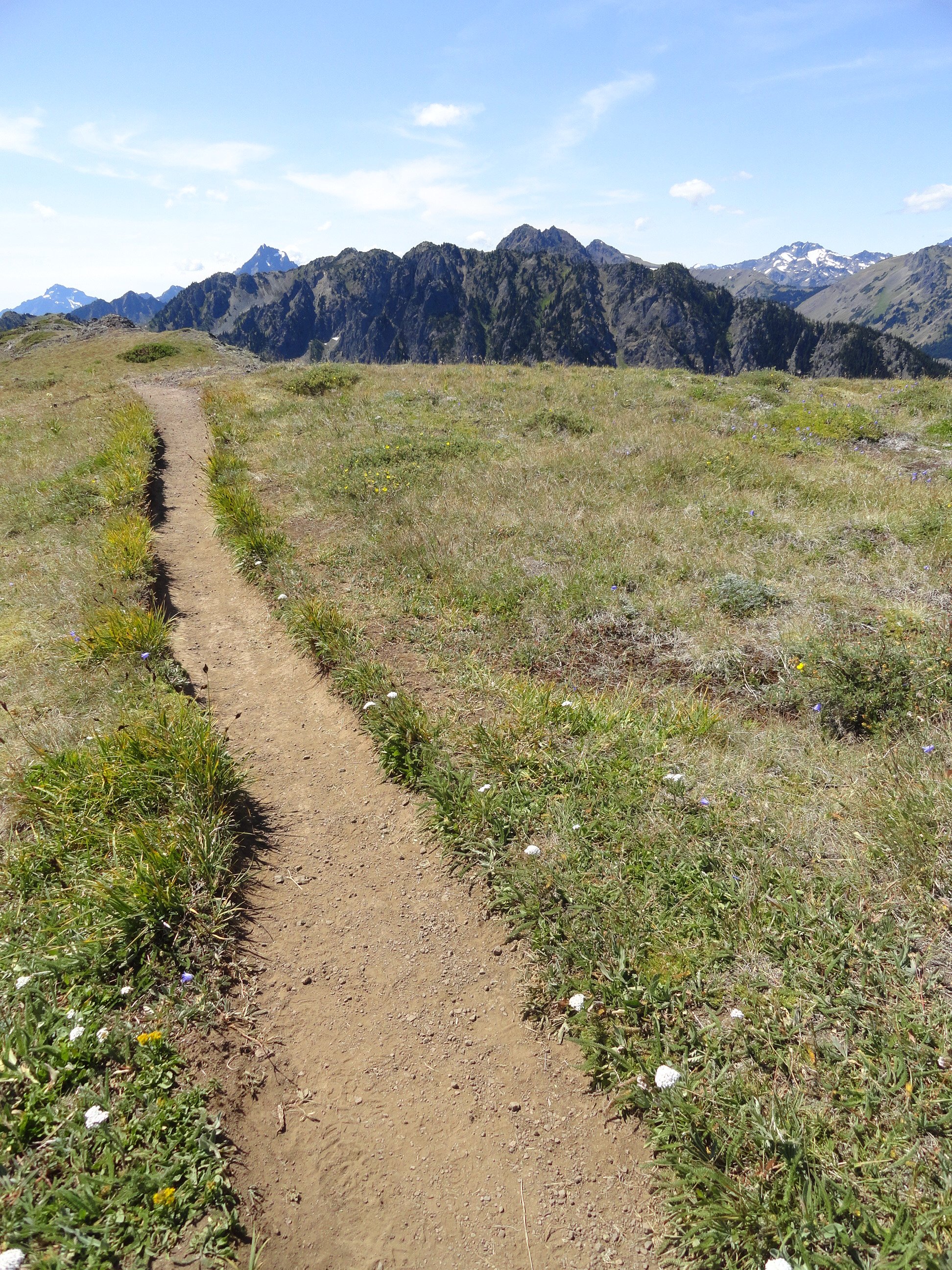
At 4.0 miles from the upper trailhead reach a junction. The main trail continues left descending to the Little Quilcene Trail offering two more approaches to the summit—one from the Northwest and one from the Northeast. Head right for 0.1 mile to the mountain’s highest point, its 6280-feet south summit. Consider continuing on the trail a short distance to Townsend’s northern 6212-foot summit too. It was on this point from 1933 until 1962 that a fire lookout once sat.
The views are great from anywhere along the open peak. Gaze out to the Salish Sea with its sprawling labyrinth of islands, bays, and channels. Watch ferries ply azure waters. Marvel at the Seattle skyline sparkling in the afternoon sunlight. And admire a fortress of Cascade peaks, punctuated by the snowy volcanoes. Look north to Dungeness Spit, Discovery Bay, the San Juan Islands, and Vancouver Island. And to the west, it’s nothing but pure Olympic wilderness—jagged peaks and deep green valleys.
And if you’re wondering if Townsend (as well as the nearby city and port) takes its name after the 19th century naturalist who named Townsend’s chipmunk, Townsend’s ground squirrel, Townsend’s solitaire and many other species—it is not!
Captain George Vancouver in 1792 bestowed the name Townsend—originally Townshend for the Marquess of Townshend. The father of Thomas Mamby, one of Vancouver’s crew members was an aide-de-camp to the Marquess at the time. The S’Klallam Tribe which had a community on the bay at the time originally called it Kah Tai which translates to pass through. You’ll probably want to pass through Mount Townsend on a return trip by perhaps ascending it via one of the other routes.
Mount Townsend Details
Distance: 8.2 miles roundtrip
Elevation Gain: 2980 feet
High Point: 6280 feet
Difficulty: moderately difficult
Snow free: June to November
Trailhead Pass Needed: None
Notes: trail also open to horses, wilderness rules apply
GPS waypoints: Trailhead: N 47 51.385, W 123 02.153
Land Agency Contact: Olympic National Forest, Hood Canal Ranger District, Quilcene; http://www.fs.usda.gov/olympic
Recommended Guidebook: Day Hiking Olympic Peninsula 2ed (Romano, Mountaineers Books)
Trailhead facilities: none
Trailhead directions: From Shelton, drive US 101 north for 50.5 miles. Upon crossing the Big Quilcene River just shy of the community of Quilcene turn left onto Penny Creek Road. The drive 1.5 miles and bear left onto Big Quilcene River Road (Forest Road 27). Follow this generally good road for 12.5 miles for the lower trailhead turnoff; or 13.7 miles for the upper turnoff. Then reach the lower trailhead in 0.8 mile or the upper trailhead in 0.7 mile.
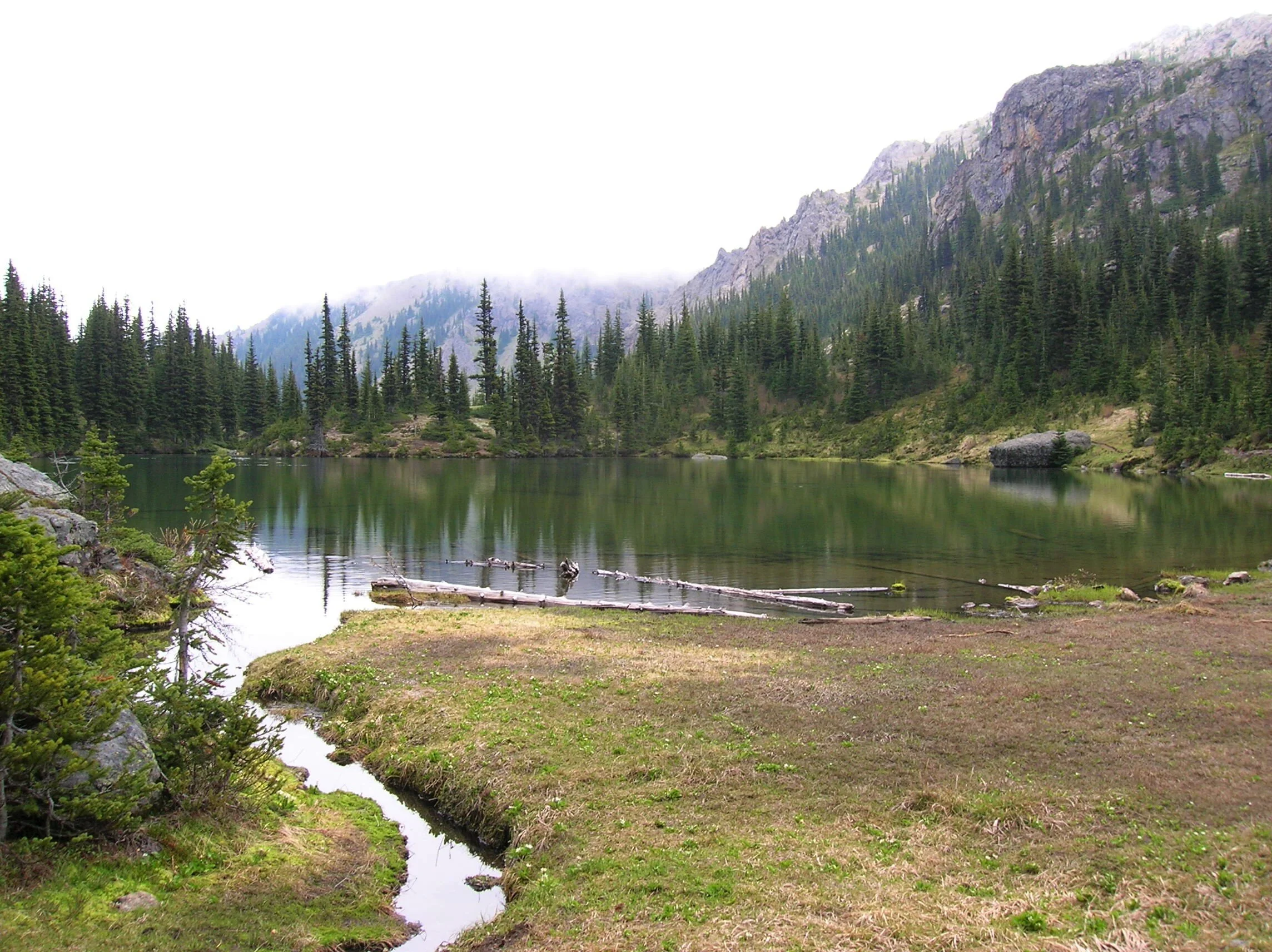
Silver Lake Hike
The Olympic National Forest’s Buckhorn Wilderness contains more than 44,000 acres of some of the finest backcountry on the Olympic Peninsula. Within this rugged corner of the Olympic Mountains you can hike on miles of trails traversing deep valleys of old-growth forests and along high windswept ridges granting stunning views.
Craig Romano | Story and Pictures
The Olympic National Forest’s Buckhorn Wilderness contains more than 44,000 acres of some of the finest backcountry on the Olympic Peninsula. Within this rugged corner of the Olympic Mountains you can hike on miles of trails traversing deep valleys of old-growth forests and along high windswept ridges granting stunning views.
Hit the Trail
Located within the Olympic rain-shadow, the Buckhorn receives ample sunshine and consists of a much drier landscape than points south and west. Lakes are rare in this wilderness. Silver Lake is one of the few gracing the region. It provides an oasis for wildlife and serves as an excellent destination for hikers.
There are two ways to reach Silver Lake. The shorter route is via Silver Creek. This route was never officially built, involving instead from a well-trodden user built boot path. It’s rugged in spots and to reach it involves a long rough dirt road from the north. The official trail starts high on the southern shoulder of Mount Townsend. It involves more effort to hike due to its length and elevation gain—but it’s well-built and highly scenic. And the approach to it is by a primarily good paved road.
Nearby Mount Townsend—one of the most popular hiking destinations in the Olympics keeps most hikers away from these trails, leaving Silver Lake a much quieter destination. In early season wildflowers give an added bonus to the official route—but lingering snow can make it tricky.

"Fall is the perfect time to visit Silver Lake with the added bonus that its resident biting insects have gone the way of the early blossoms."
Start your hike from the upper trailhead for the Mount Townsend Trail. Follow this well-worn & popular path through stately groves of firs and hemlocks adorned with Pacific rhododendrons. In late May and early June, the rhodies add an array of dazzling colors to the surrounding verdant cloak. The trail steadily climbs. Shortly after entering the Buckhorn Wilderness, the forest cover thins and views east emerge. Cross several cascading creeks and continue working your way upward. The trail switchbacks more than two dozen times.
The way crests a small knoll arriving at Camp Windy, which usually lives up to its name. Look below to tiny Windy Lake, not much more than a buggy pool most of the year. Then continue climbing coming to a junction at 3.0 miles.

Here most hikers will continue right to ascend the open summit of Mount Townsend. You want to head left on the trail less traveled. Your climbing isn’t yet over however. Muster up a little more energy and reach a small gap on a high ridge separating Mount Townsend from the Welch Peaks. Take a break and look back east for a great view of Windy and Sink Lakes directly below. Then face west and enjoy a sweeping view of the Silver Creek valley. Silver Lake however is not visible. It’s hidden behind a small wooded knob to the south.
Now resume hiking crossing a steep slope that comes alive with blossom in the summer. Via a couple of long switchbacks the way descends more than 600' into the valley. Be sure to save some energy for the return hike, as you’ll need to regain that elevation. At 4.6 miles reach a junction in the forested valley. Here the Silver Lake Way Trail descends northwest following alongside Silver Creek. Continue straight, soon coming to Silver Creek.
Hop across the creek and start climbing again following the creek to its source.

At 5.4 miles reach Silver Lake in a semi-open bowl flanked by craggy peaks and ridges. It’s a tranquil spot where soft breezes often leave rippling signatures on the lake’s surface; and the raucous calls of Clarks nutcrackers (more common east of the Cascade Crest) often break the silence.
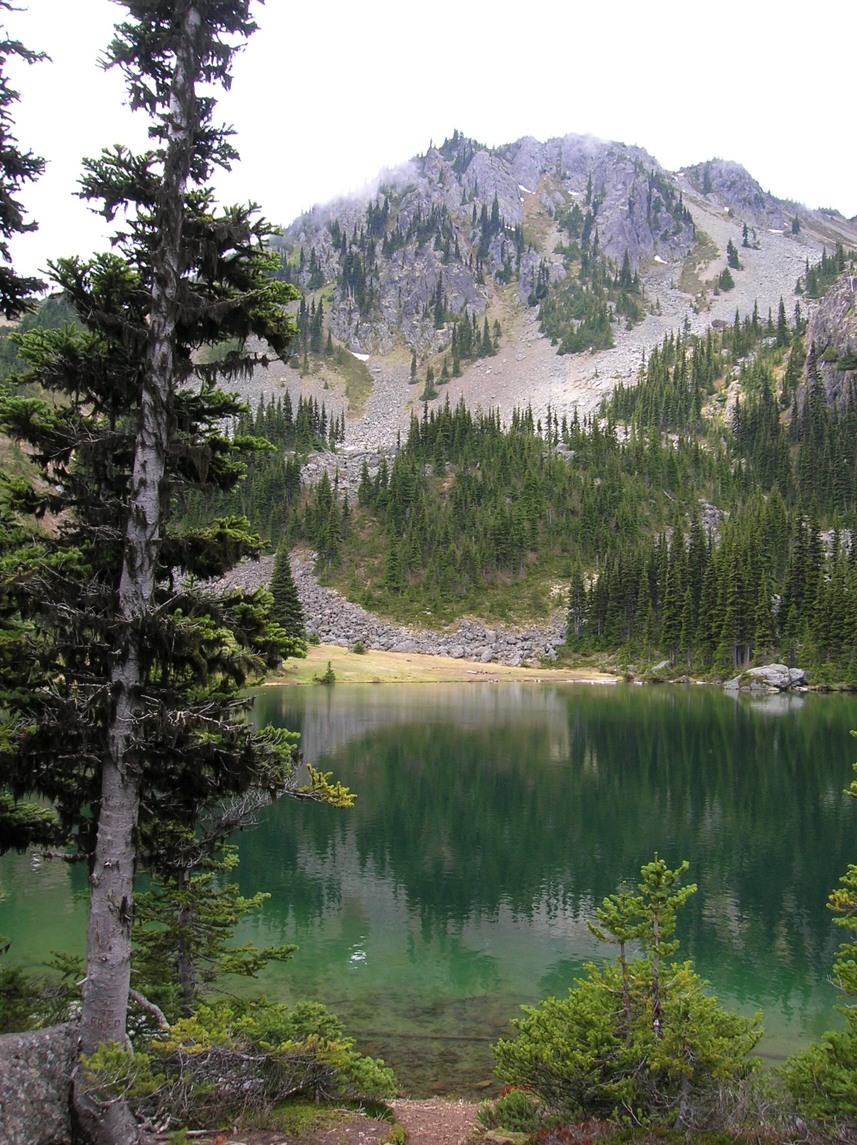
Find a shoreline rock and stay for a while. However, if you have some energy left, a steep half mile path to the south may entice you to follow it. It leads to a gap on a ridge high above the Big Quilcene River where you can stand mouth agape staring out at hulking Mount Constance towering over craggy ridges and deep emerald valleys.

Craig Romano is an author of more than 20 hiking guidebooks including the bestselling Day Hiking Olympic Peninsula 2nd Edition (Mountaineers Books), which includes descriptions for 136 hikes throughout the Olympic Peninsula. He is a regular contributor to Explore Hood Canal. Also check out his list of 25 Olympic Peninsula waterfalls at waterfalltrail.org.
Silver Lakes Notes
Distance: 10.8 miles round-trip
Elevation Gain: 3275 feet (High Point: 5675 feet)
Difficulty Loop: difficult
Snow free: mid-June to early November
Trailhead Pass Needed: Northwest Forest Pass or Interagency Pass
GPS waypoints:
Trailhead: N47 51.385, W123 02.153,
Silver Lake: N47 50.686 W123 04.247NW Forest pass required; Wilderness rules
Land Agency Contact: Olympic National Forest, Hood Canal Ranger District, Quilcene, (360) 765-2200; fs.usda.gov/olympic
Recommended Map:
Green Trails Olympic Mountains East 168SRecommended Guidebooks: Day Hiking Olympic Peninsula 2nd edition (Romano, Mountaineers Books)
Trailhead directions: From Quilcene drive US 101 south for 1.5 miles and turn right onto Penny Creek Road. After 1.5 miles bear left onto Big Quilcene River Road (Forest Road 27); which eventually becomes paved. Continue on FR 27 for 13.7 miles and turn left onto FR 27-190 reaching the trailhead in 0.7 mile.
Tips for safe and healthy hiking during the Covid-19 Pandemic
We all must do what we can to prohibit the continual spread of this disease. We can do that by adhering to the following while we enjoy our trails:
• Avoid crowded hiking destinations. If you arrive and the parking lot is already full, head to another location
• Opt for weekdays over weekends to hit the trail
• Hit the trail early morning before others arrive
• Avoid hiking in large groups outside of family
• Practice Social Distancing while on the trail, giving other hikers room to pass and keeping your distance from them at lakes and summits.
• Wear a mask when encountering others on the trail. A buff or bandanna works well.
• Pack hand sanitizer
• Pack it in pack it out
• Don’t be a surface pooper. Poop properly in the woods by always using privies first if available-or by heading at least 200 feet away from all trails, campsites and water sources and digging a cat hole for your business. Bury waste and TP.
• Pack out all pet waste.

Big Loop Creek Hike - for all seasons and abilities
Guidebook writer, Craig Romano, takes us on an illustrated journey around Ellinor. Churning Big Creek and its tributaries will charm you with their frothy displays and soothe you with their flowing melodies.
Craig Romano is an author of more than twenty hiking guidebooks including the bestselling Day Hiking Olympic Peninsula 2nd Edition (Mountaineers Books), which includes detailed descriptions for 136 hikes throughout the Olympic Peninsula. He is a featured columnist for the Fjord and Explore Hood Canal.
Jeff and his mom hiked the Big Creek Trail loop in mid August — check out their review of this hike marked moderate.
“Poets need not go to Niagara to write about the force of falling water,” wrote Robert Frost. Indeed. Amble along this circuitous route within the shadows of Mount Ellinor and see the forces of water all around you. Be continuously captivated by cascading creeks. Churning Big Creek and its tributaries will charm you with their frothy displays and soothe you with their flowing melodies.
Big Creek Loop
Distance: 4.2 miles roundtrip Elevation Gain: 850 feet High Point: 1850 feet Difficulty Loop: moderate Snow free: year round Trailhead Pass Needed: Northwest Forest Pass or Interagency Pass GPS waypoints: Trailhead: N47 29.599, W123 12.66 Features: cascading creeks, attractive bridges, rhododendrons, snow-free winter hike; kid and dog friendly,

photo: Craig Romano
Hit the Trail
The 4.2 mile Big Creek Loop doesn’t go to a lake, high point, significant landmark or through groves of primeval forest. It just goes around the Big Creek basin crossing that banally named waterway and a handful of its tributaries. This hike is all about the journey—not the destination. The trail winds along forested slopes above Lake Cushman crossing tumbling creeks on a series of beautifully-constructed bridges.
" This hike is all about the journey—not the destination."
A couple of side trails branch off of the main loop to hidden cascades crashing among jumbled boulders. Hike this trail without an agenda—just set your mind free—and pause frequently to admire the show. Generally snow-free in the winter and with easy accessibility, Big Creek can be hiked year round.
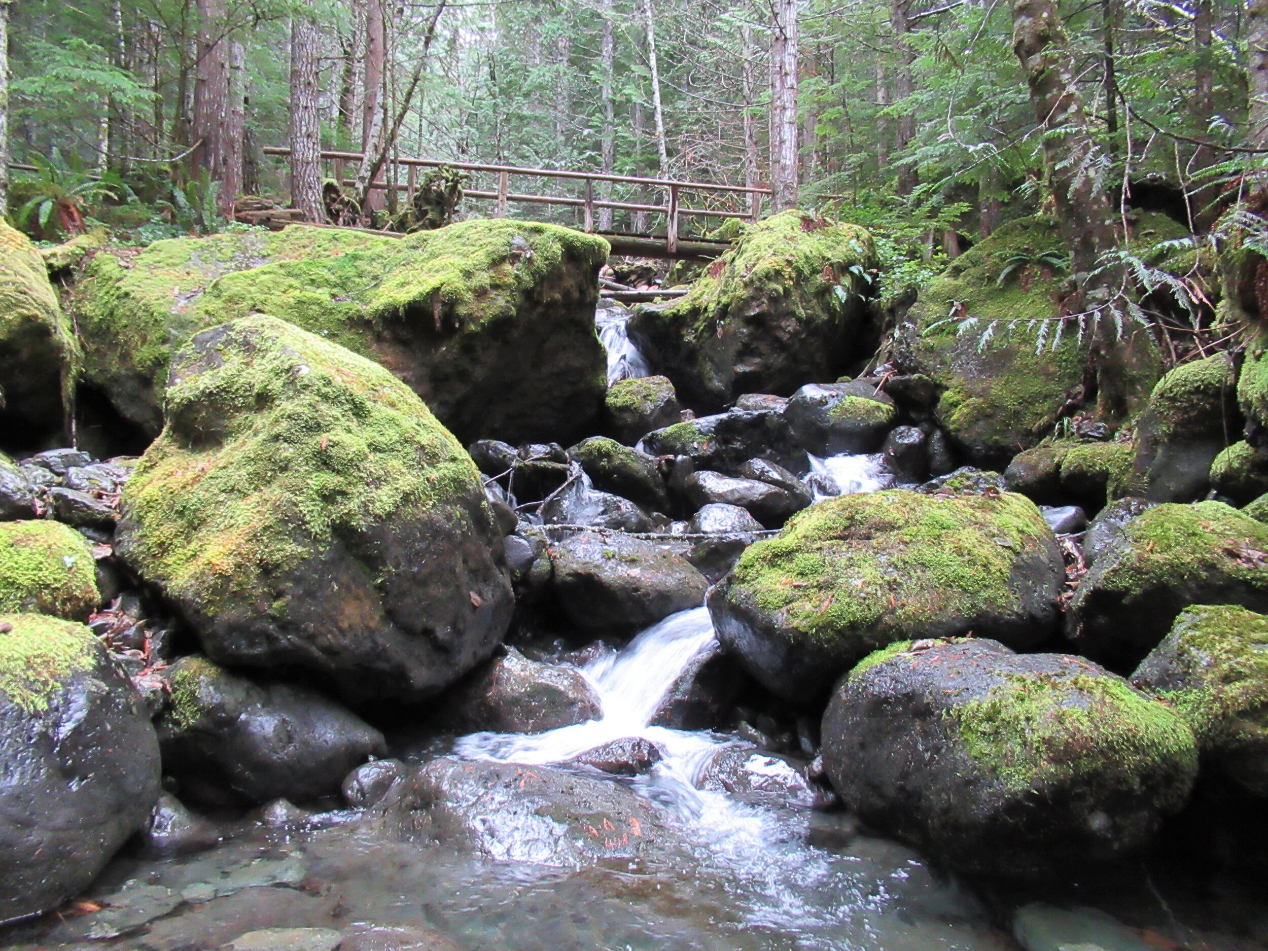
photo: Craig Romano
While it makes for a nice walk on a hot summer day with its shaded glens offering respite from midday rays—autumn through spring are best. Forested all the way, and always within earshot of tumbling water, the Big Creek Trail makes an excellent rainy day hike. Try to plan it after a period of prolonged rainfall for intense water shows that roar through the forest.

photo: Craig Romano
Utilizing old logging roads and newer tread, the all-volunteer Mount Rose Trail Crew built this delightful loop twenty year ago. “We have existed since 1985,” states Mount Rose Trail crewmember John Jurgens. The crew began as a group of Shelton area climbers who grew concerned over the increasing popularity of the old Mount Ellinor Trail. The old trail contained a section known as the “Chute” which was a hazardous rock and snow-filled gully. With the Forest Service’s blessing the crew constructed a new trail bypassing the chute allowing hikers a much safer passage on this popular trail.
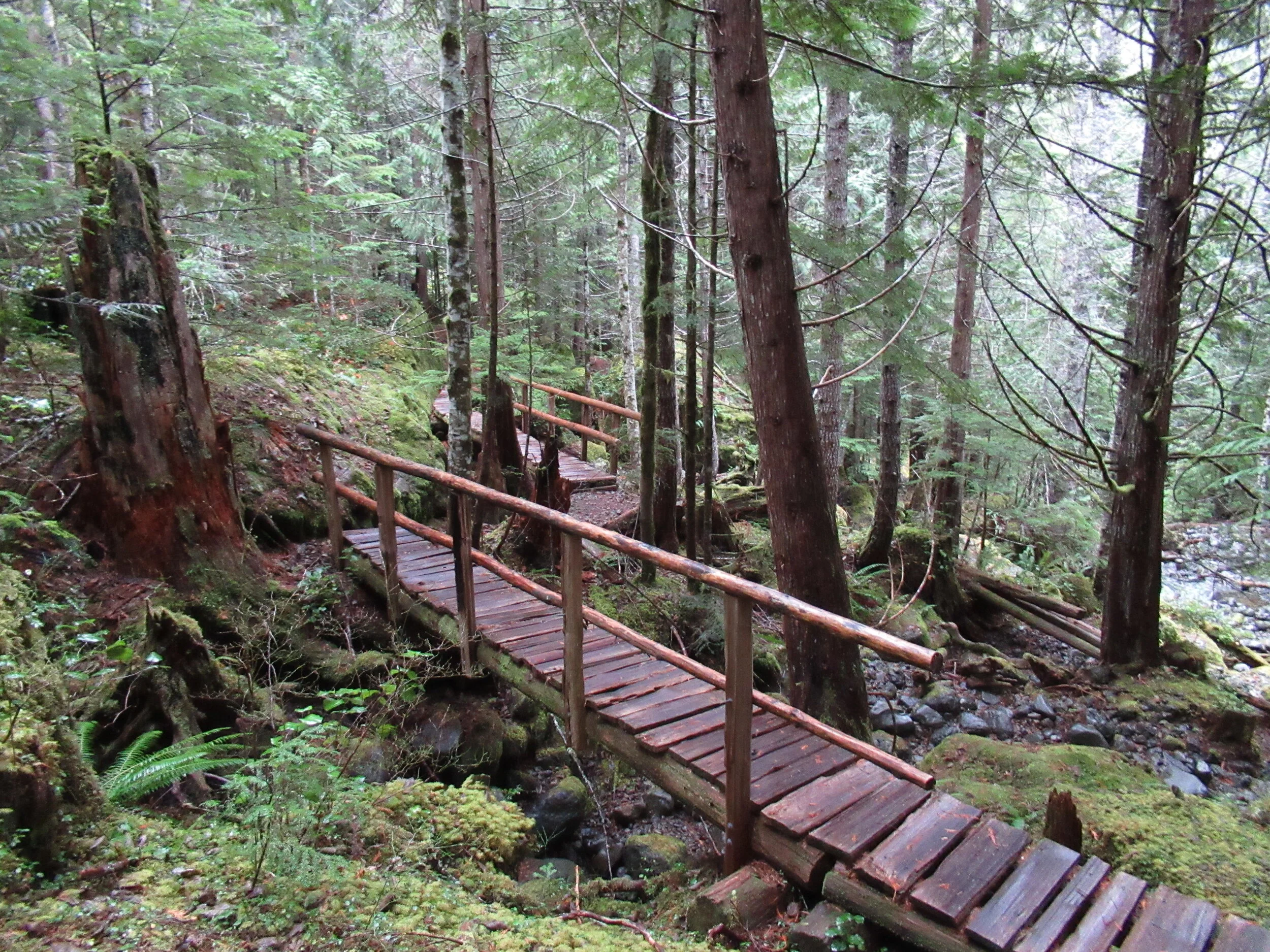
photo: Craig Romano
The crew took their name however from nearby Mount Rose. They worked on re-establishing the upper Mt Rose Trail when snow cover on Mount Ellinor didn’t permit them to work there.
From an original group of about 5, the crew now boast a half dozen members who hail from around the Hood Canal Region. They currently maintain 16 trails in the Olympic National Forest. The Big Creek Loop showcases their topnotch bridge building skills. Robust and built to last as Jurgens puts it, I find the bridges works of art that fit in well with their surrounding natural environment.
"The bridges for many hikers are the highlights of this hike. And children will find them especially appealing."
The trail starts from the recently rebuilt and expanded Big Creek Campground. Here follow what is officially called the Upper Big Creek Loop Trail. Most folks however just refer to it as the Big Creek Loop. The recommended direction is clockwise to take advantage of a gentler descent that will be easier on the knees. The trail immediately crosses Big Creek on a sturdy bridge—one of two provided by contractors and not the trail crew whom built bridges on site with area materials. You’ll immediately recognize the craftsmanship upon reaching them.

photo: Craig Romano
The trail briefly heads down stream along the creek before making a U-turn to begin ascending above it. Signed features and resting benches grace the way. After about a mile the grade gets steeper. Catch glimpses through gaps in the forest canopy of Mount Washington hovering above. At 1.8 miles you’ll come to a junction. You can take an interesting short side trip here on the Creek Confluence Trail which drops to the confluence of Big and Branch Creeks before looping back to the main trail. Here you’ll find good lunch rocks among the two tumbling waterways.
The Big Creek Loop continues straight coming to a junction with the Mount Ellinor Connector Trail just before reaching Branch Creek. The Connector Trail leads left 1.4 miles to the Mount Ellinor Trail and allows for a long and challenging ascent of that popular peak. If you’ve got some energy head one mile up it to a good viewpoint overlooking Lake Cushman,

photo: Craig Romano
The loop continues straight crossing Branch Creek on a good bridge. Just beyond it reaches Big Creek above a gorgeous cascade. Here a new well-constructed bridge spans the tumbling waterway.
The loop now begins descending, skirting some big mossy boulders and passing good views of roaring Big Creek. A short side trail—once part of the Creek Confluence Trail drops back down to where Big and Branch Creeks meet. The main trail now follows an old road, coming to bridged crossings of scenic Skinwood and No Name Creeks. Continue descending passing a few giant firs that loggers forgot. Notice the forest change here. The west half of the loop was dominated by hemlocks—while the eastern half is made up more of Douglas-firs and lodgepole pines. The understory is different too—cloaked here in salal.
Be sure to look up through the trees for a glimpse of Mount Ellinor rising above the watershed. At 4.0 miles come to a junction with the Campground Loop Trail which loops around the campground for 0.8 mile if you want to extend your hike. Otherwise continue right a short distance to return to the trailhead.
Notes:
Land Agency Contact: Olympic National Forest, Hood Canal Ranger District, Quilcene, (360) 765-2200; fs.usda.gov/olympic
Recommended Map: Green Trails Olympic Mountains East 168S
Guidebooks: Day Hiking Olympic Peninsula 2nd edition (Romano, Mountaineers Books)
Trailhead directions: From Shelton, travel north on US 101 for 15 miles to Hoodsport. Turn left onto SR 119, and proceed 9.3 miles west to a T intersection with FR 24. Turn left and then immediately turn right into the Big Creek Campground continuing a short distance to the Day Use Area and trailhead. When campground is closed, park at gate, but do not block it.
Trailhead facilities: privy, picnic area, campground, water.
Dogs welcome but must be leashed.
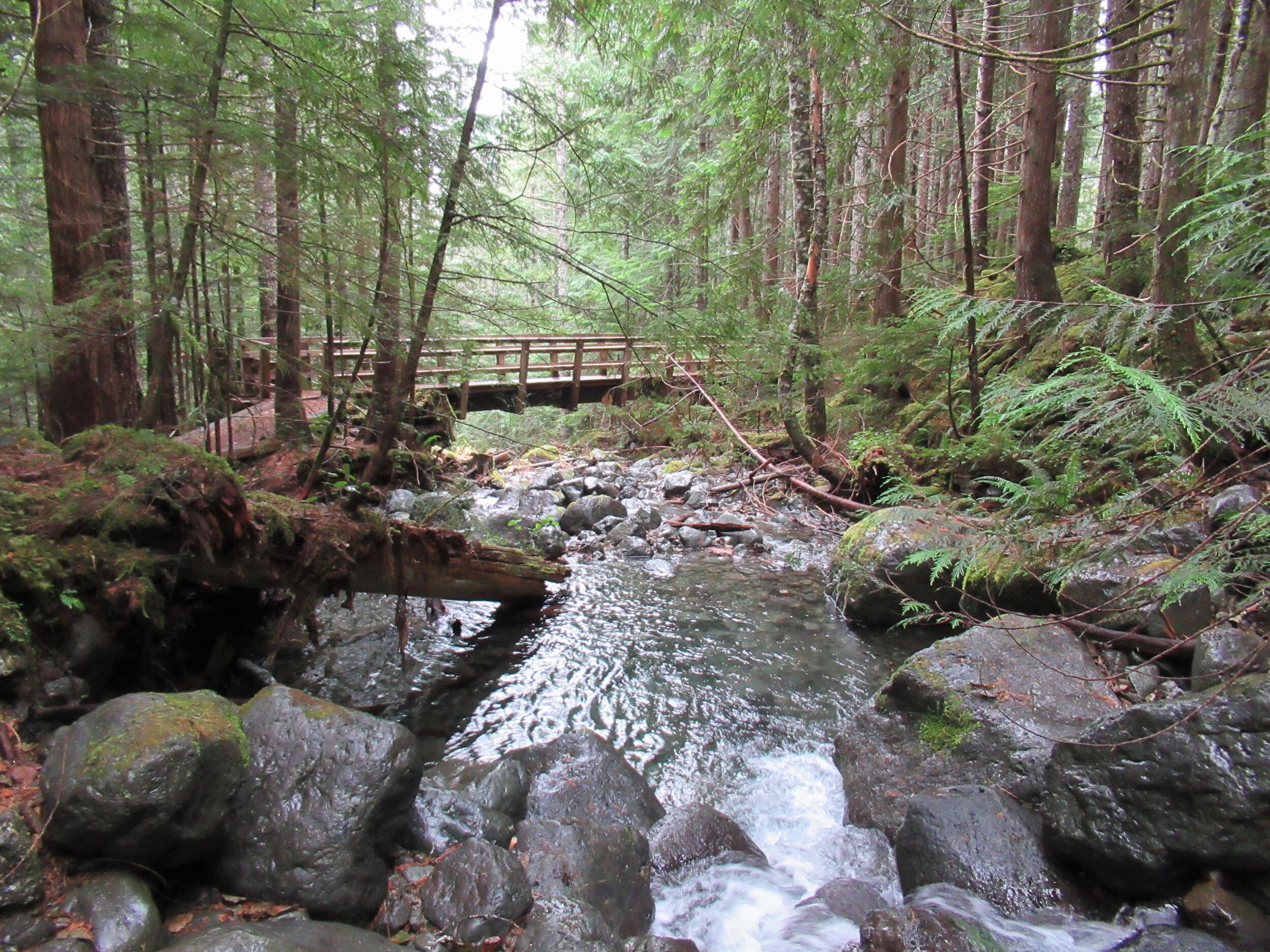
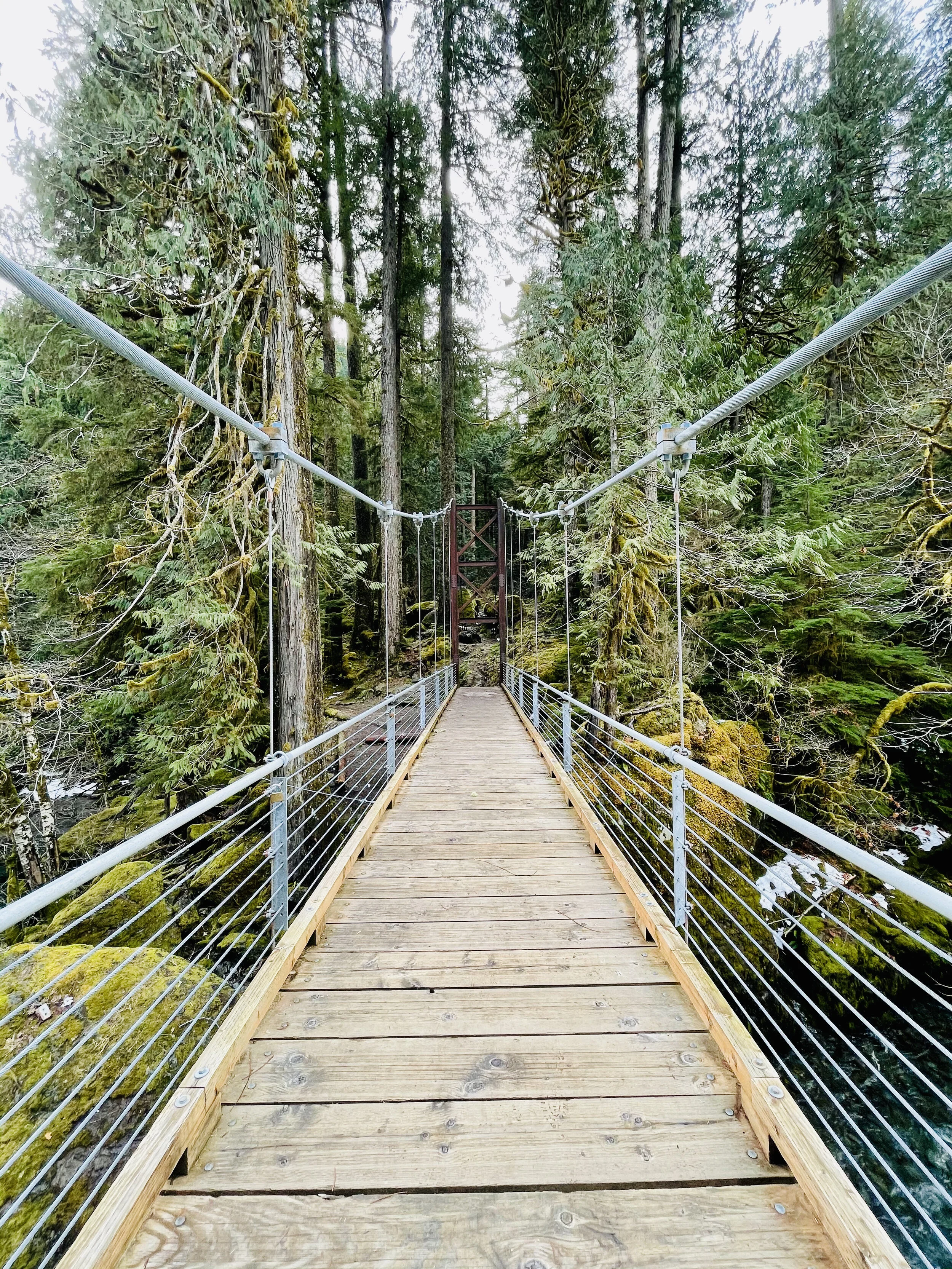
Spring day at Staircase
This easy 2-mile trail winds through old growth forest to a bridge over the North Fork Skokomish River with only a 200-foot elevation gain.
During spring the Staircase Entrance of the National Park offers some opportunity for great hikes with virtually no one else on them that early in the season! Take the kids or friends and plan a mountain adventure. Build an igloo, go snowshoeing, or just have a snow ball battle. Although the lower reaches may be drowning in rain, if you head to the hills you might just find a drier, fluffier version.

Last spring we packed up a picnic and headed for the park. On a Sunday, first week of March, we saw about seven cars in the Staircase parking lot and passed about a dozen people on the Loop Trail. With the horror stories from overcrowding last summer during the peak of the lockdown – we were thrilled to have the trail practically to ourselves.
Getting There
The road from Hoodsport to Lake Cushman is narrow and windy. Be prepared to go slow as then you will find it charming and scenic with glimpses of the lake between the trees and driveways. Lake Cushman was originally a straight broadening of the North Fork of the Skokomish River that was naturally dammed by gravel and debris deposited by glacial movement during the last ice age. This small lake was artificially dammed in the 1920s to meet the increased power needs after World War I.
The evidence of the forest that once was is prominent in the incredibly low water of the lake.. This is a natural occurrence in early spring – late winter, but the effect was astonishing. Surrounded by a sea of first growth stumps and rock "islands," the giant boulder renown as ‘The Big Rock’ was perched on smaller rocks creating a magical grotto with reflecting pools magnifying the beauty of the snow dusted treed hillsides plunging sharply into Lake Cushman. We scrambled around the rocks and enjoyed a whole new experience.
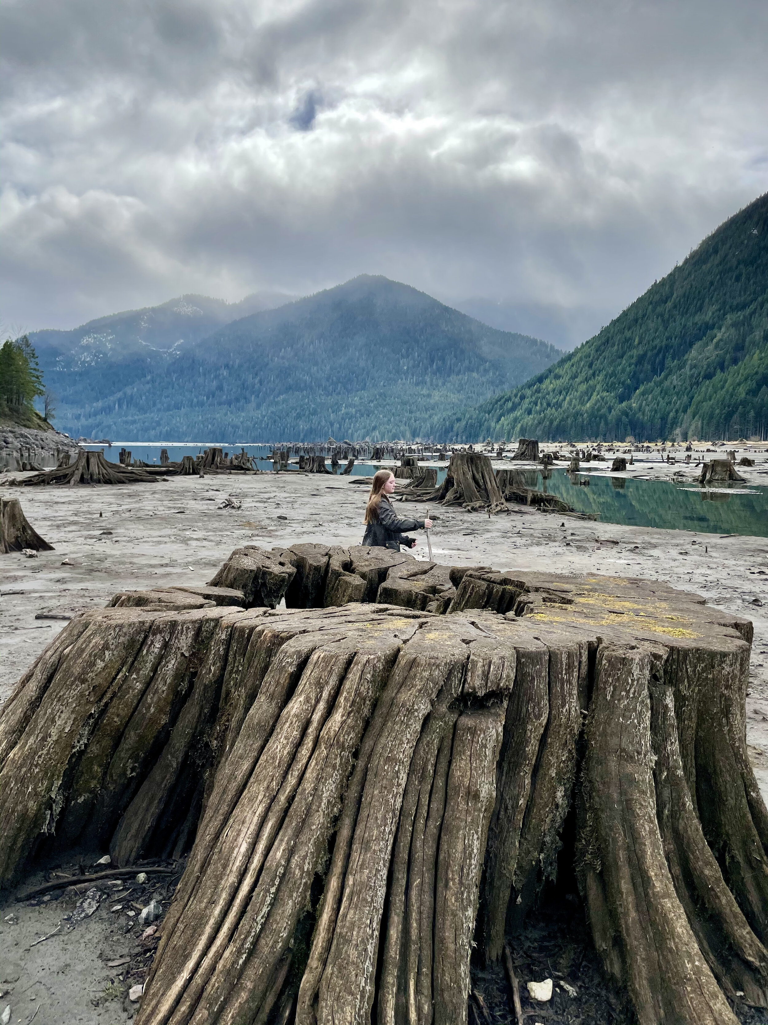
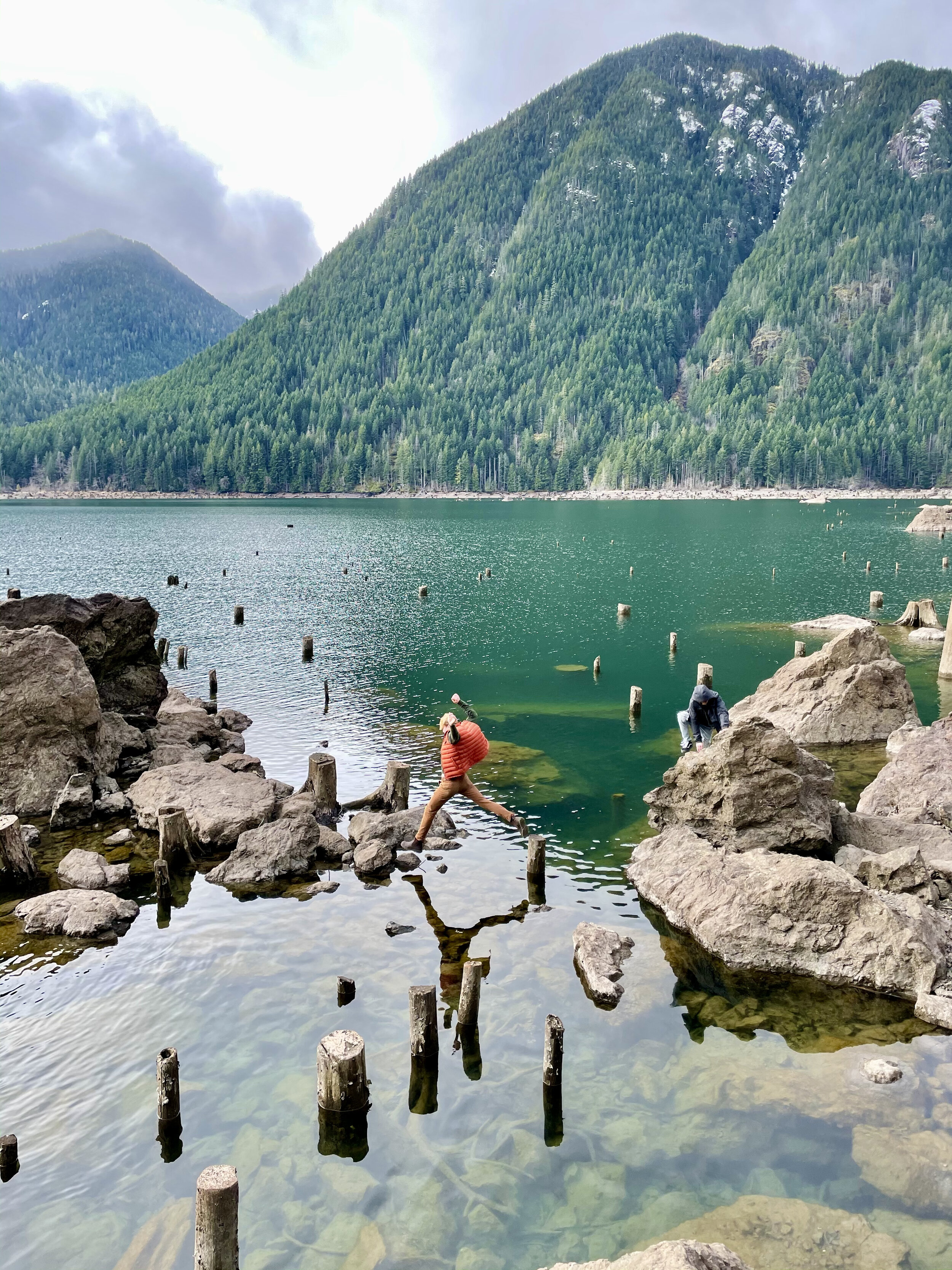
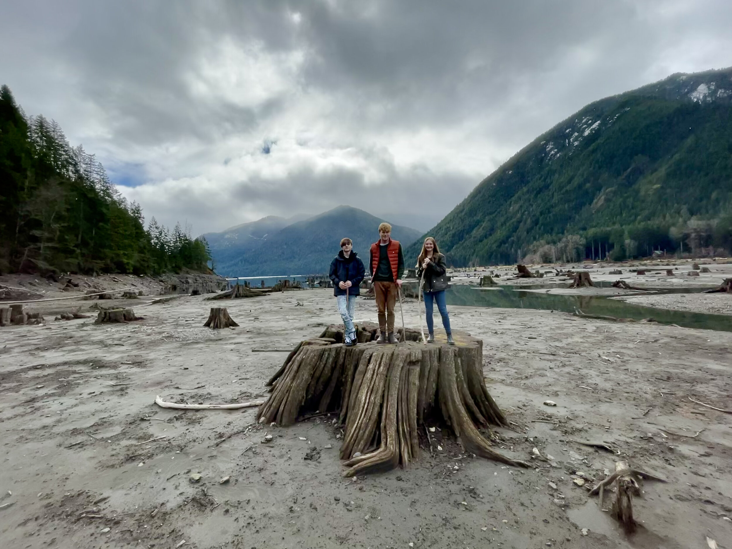
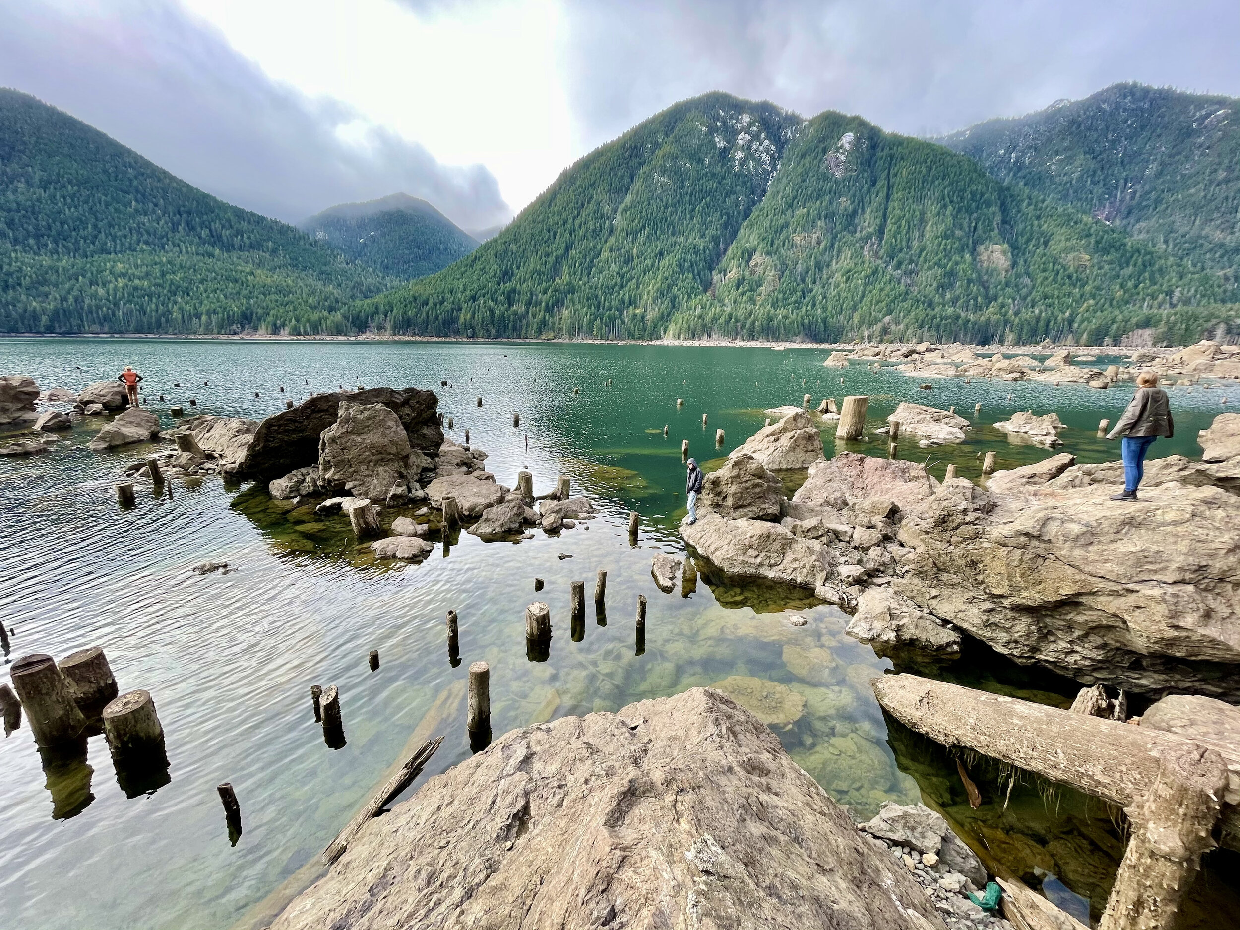
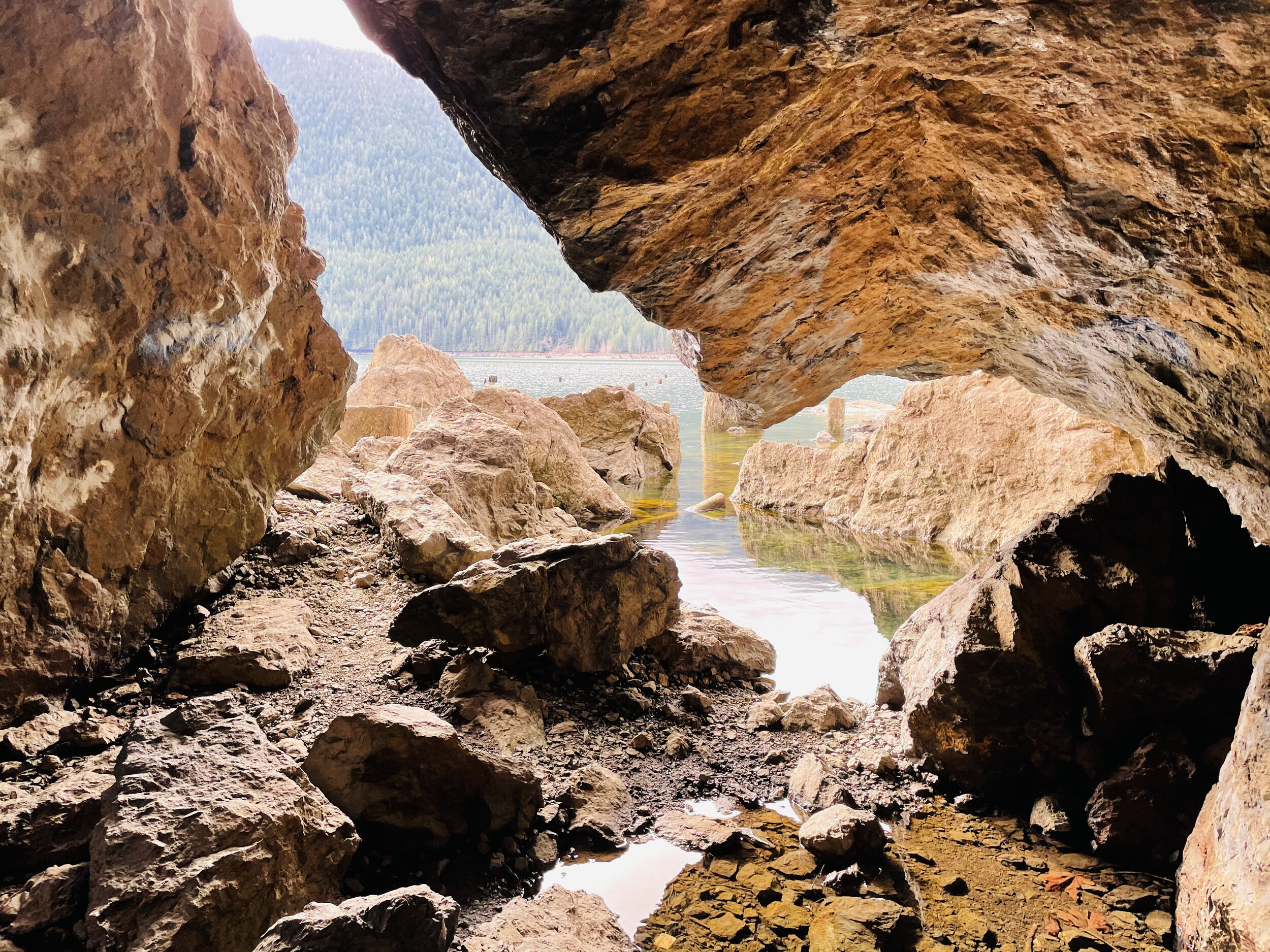
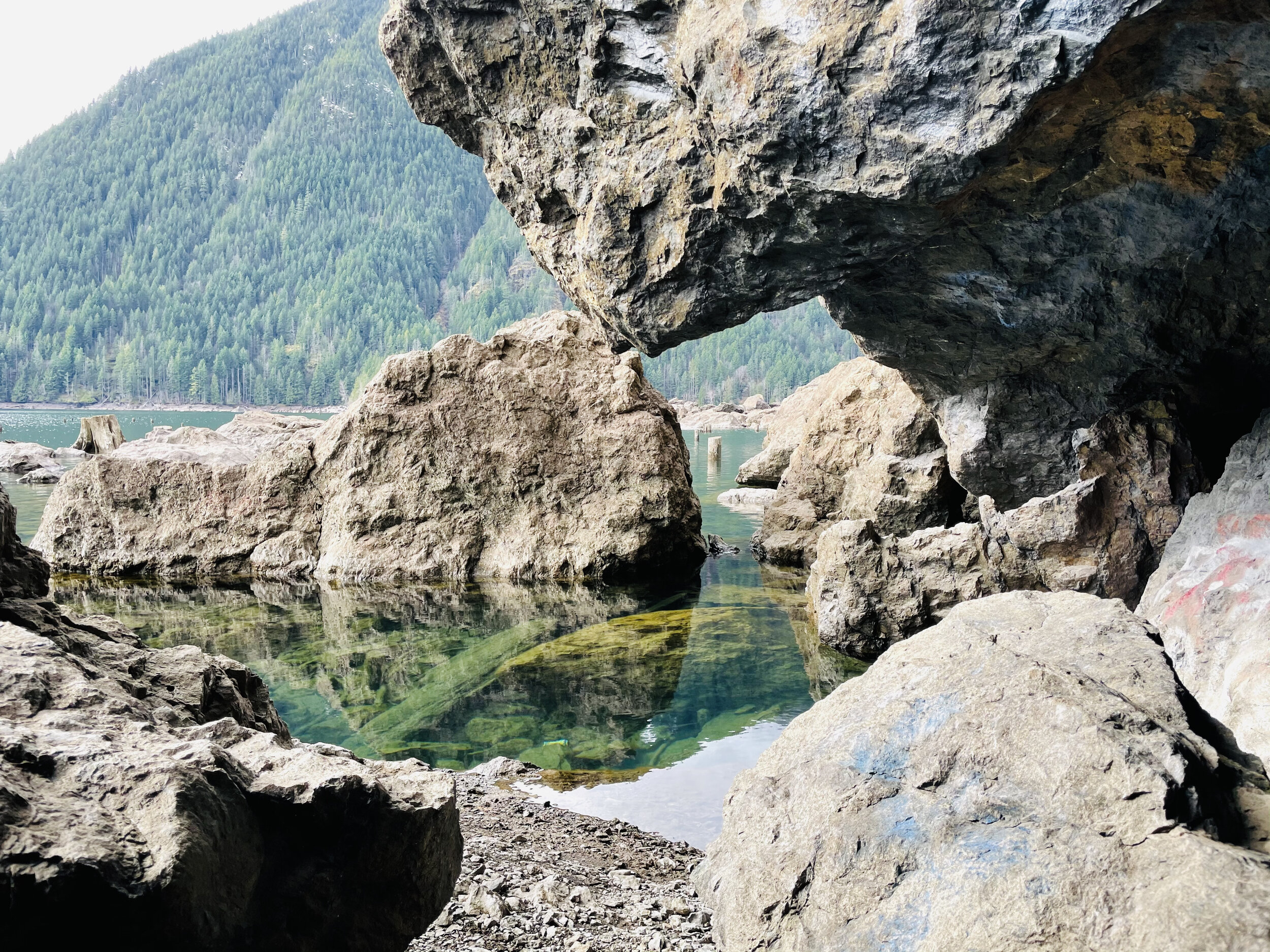
A little further down the road is a pull out at the end of the lake. Here the “sea” of stumps is even more fantastic. The landscape is great for exploring and dramatic photos. The springboard holes used by the early foresters as they cleared the valley are perfectly archived.
Staircase Loop Trail
The entrance to Staircase was un-manned when we arrived. There were just a few cars parked in the lot. You will need to have a pass to park. We recently purchased the America The Beautiful Annual Pass. This pass covers federally managed recreation lands such as National Parks, National Forests, National Wildlife Refuges, and Bureau of Land Management Recreation Areas throughout the country.If you purchase this pass you may use it for both the Olympic National Park and for trailheads requiring a NW Forest Pass. The pass covers all people in your vehicle and covers two pass signers at walk-in locations, so at $80 per year, it’s a pretty good value and takes a lot of guesswork out of what passes needed when exploring the Olympic National Forest and Park.

Near the parking lot there are vault toilets and information boards. The trails go in a multitude of directions but we took the standard Staircase Loop. It’s less than two miles and follows the curves of the North Fork of Skokomish River. We love loops. Something different around every bend and when you drop back in the parking lot you are still wanting more.
There was enough snow on the trail, peeping through the breaks in the dense canopy, to make it perfect contrast for photos against the mossy green – and the odd snowball to break the reflection.
Heads up…you will see no staircase at Staircase today. In 1890, when Lt. O’Neil and his crew blazed their trail through the Skokomish wilderness, the rock bluff across the river from the campground was a major obstacle. To get over it they built a cedar staircase. Until the nearby Shady Lane Trail was built in 1911, the ‘Devil’s Staircase’ was the only path over the bluff. The name, and O’Neil’s legacy, remains. However, as you follow the river with its tumbling force of river over huge basalt boulders – you can kind of imagine the rapids are staircase of sorts.

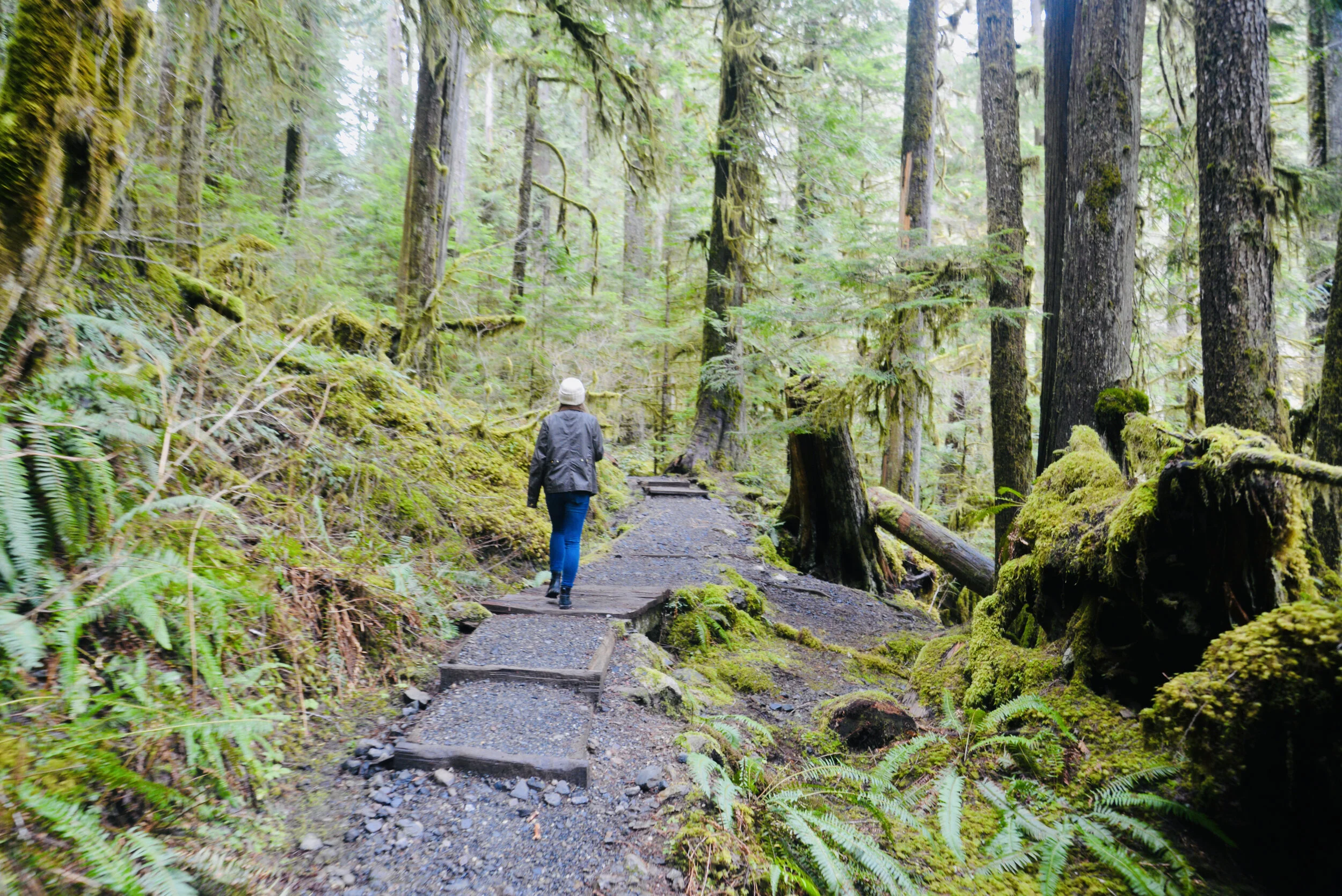
We stopped off by the river at the “swimming hole” to make lunch on the beach. With a Jetboil and some hot freeze dried meals, it was sublime. They’ve come a long way from what I remember as an instant meal. Having hot tea after in the chill of the forest was magical too.

The trail crosses over the river at a dramatic suspension bridge. Here the view opens up and you can see a few snow covered glacial peaks of the Olympics. Despite their jutting appearance, the Olympic Mount Range are not volcanic. This is surprising given the proliferation of volcanic ranges in the Pacific Northwest, for example Mount Baker and Mount Rainer. As evidenced by the marine fossils found in the summits of the range, the Olympic Range once was part of the ocean floor. Approximately 120 million years ago, the Pacific Tectonic Plate crashed into the North American Plate and created the Olympic Range.
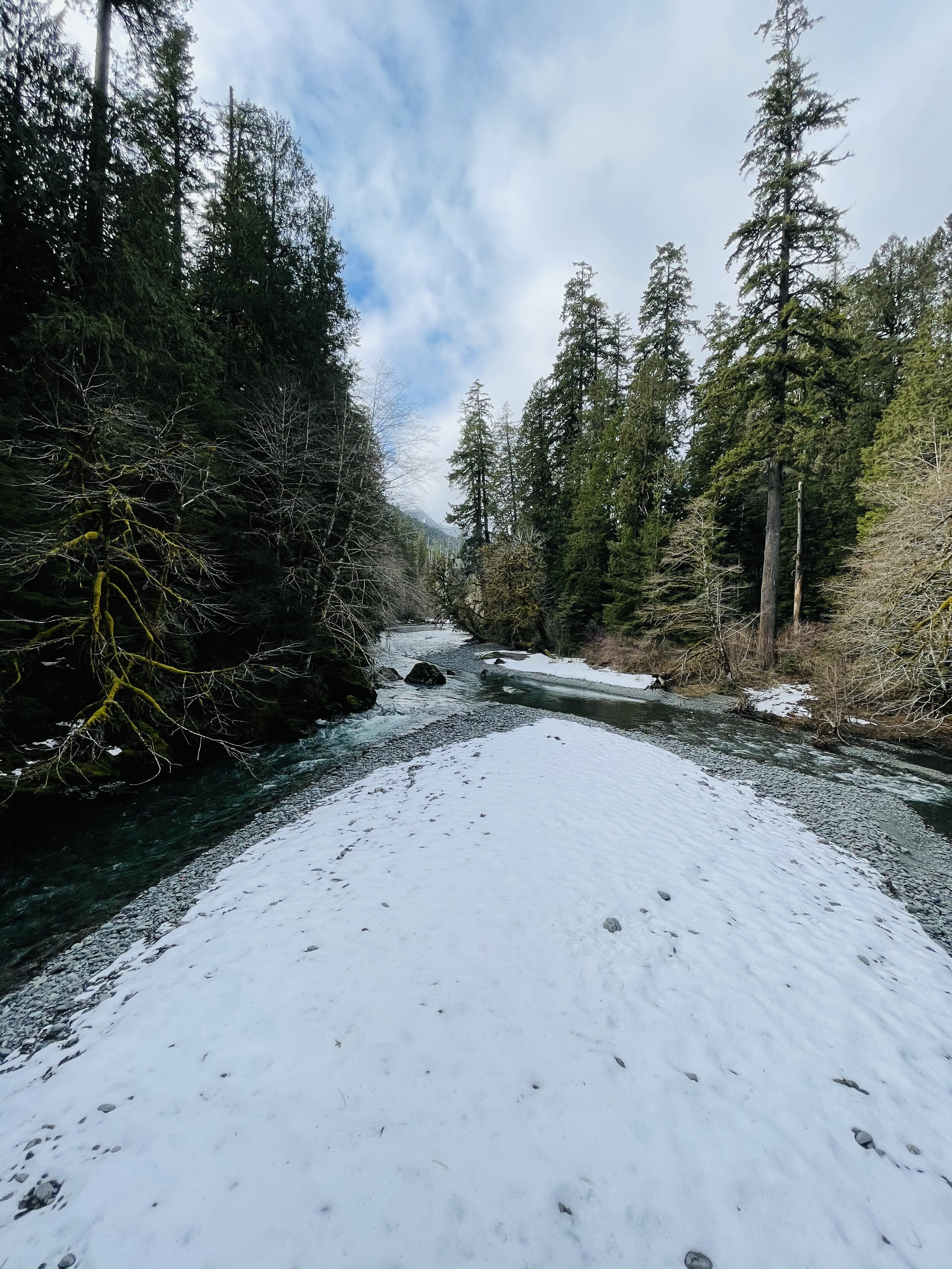
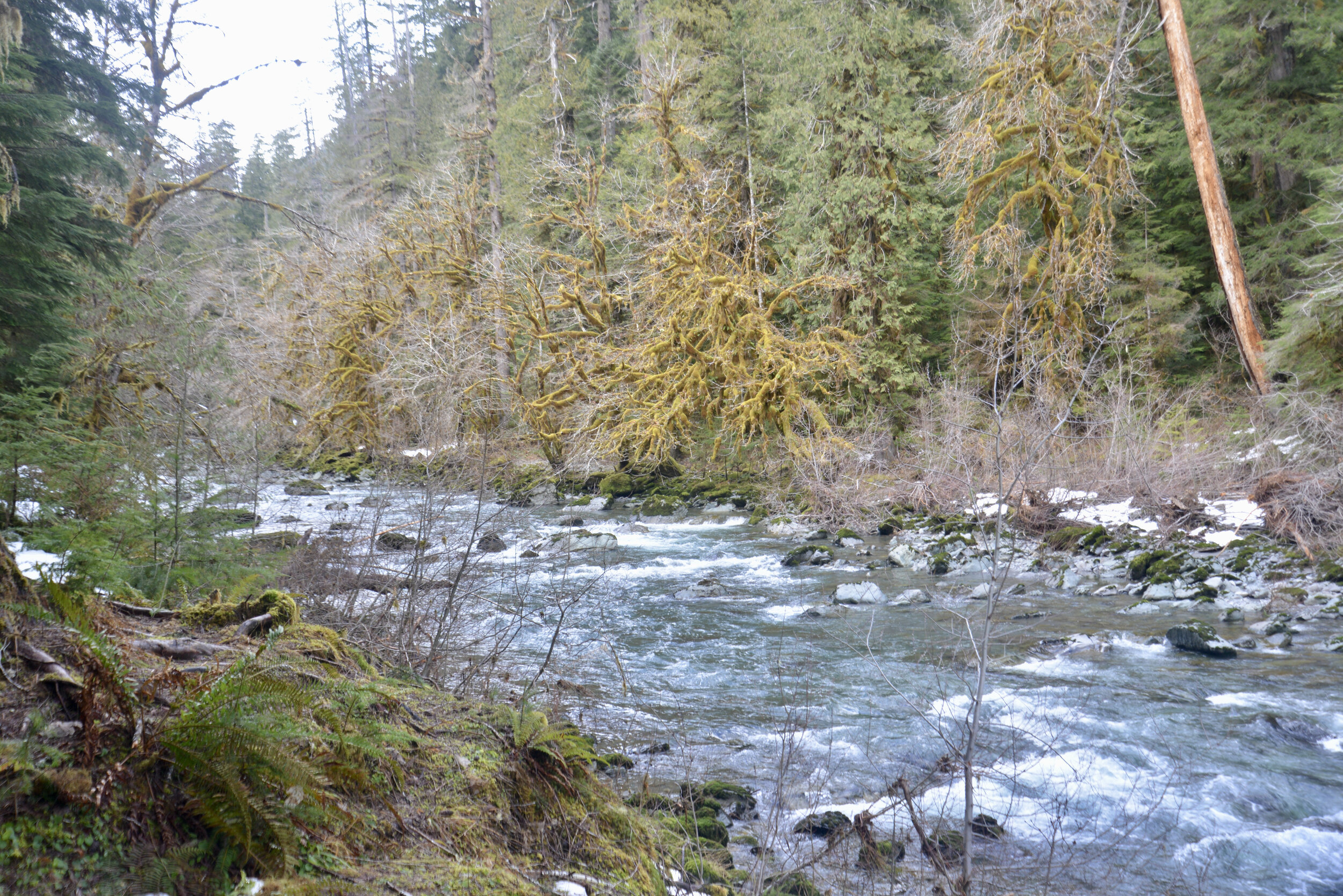
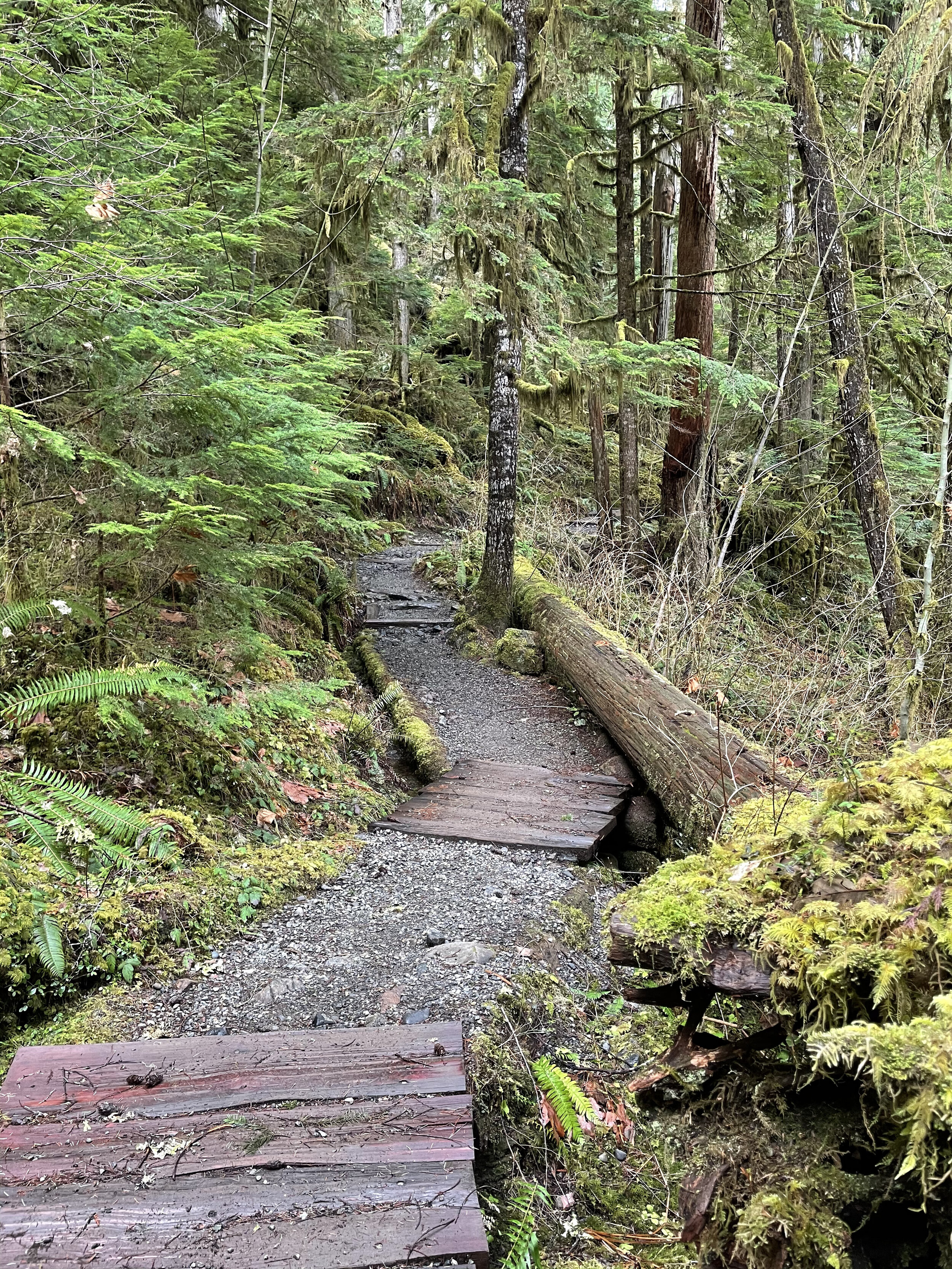
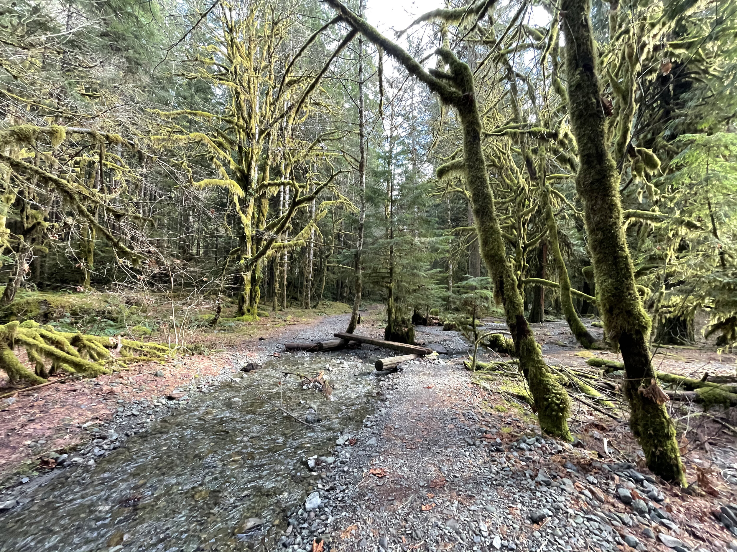
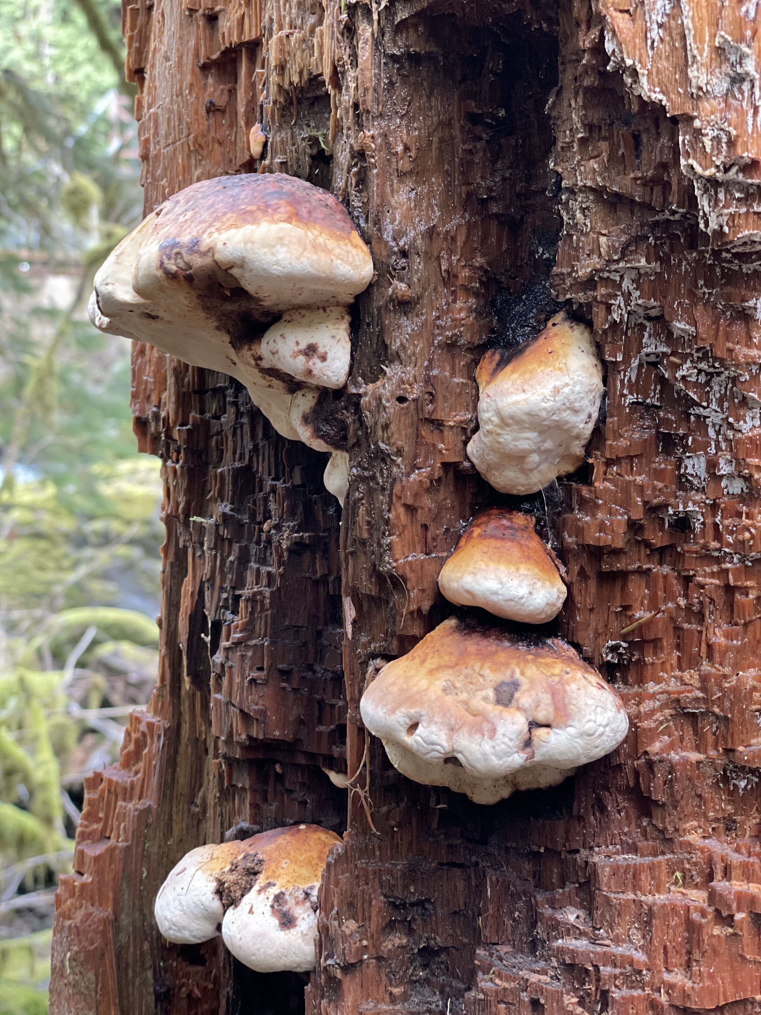
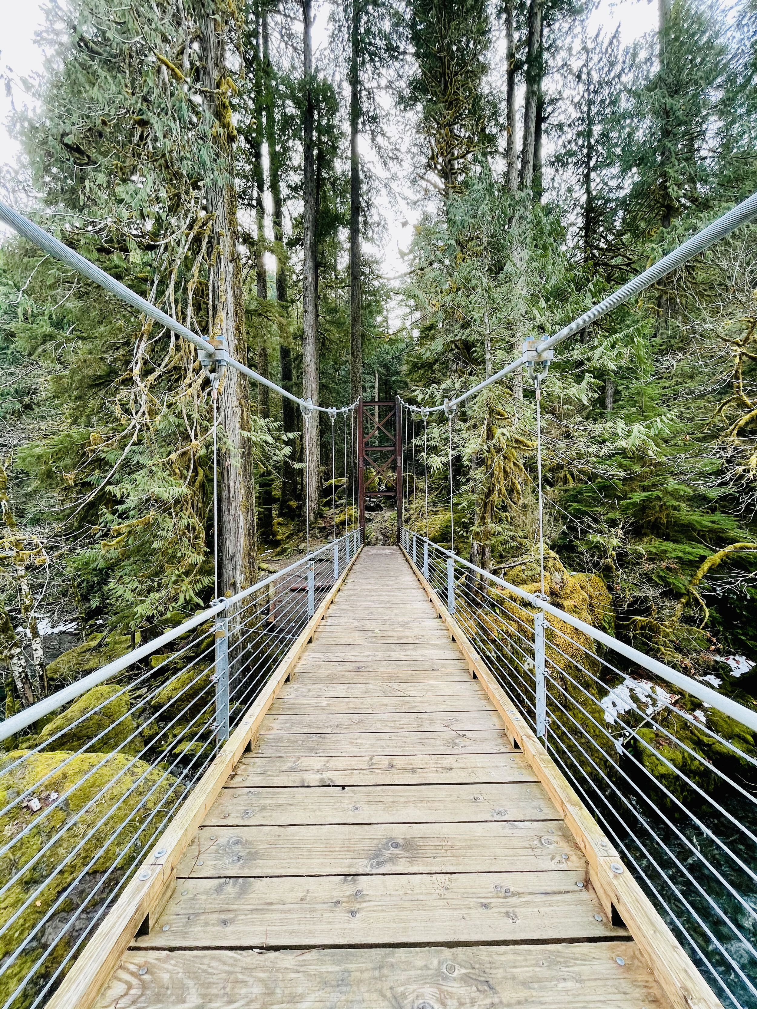
Journey Back
The trail back on the opposite shore is a vast contrast to winding hummocks covered in moss and ferns. The path now follows an old road bed peppered by giant cedars, firs and fallen nurse logs. At two points you cross log bridges to ford the gentle streams coming down from the hills above. The trail ascends up a makeshift timber “staircase” and then drops back into the parking lot near the ranger station.

A small family owned Italian food truck serving pasta dishes, meatball subs, clam chowder bread bowls, as well as fresh lobster shipped directly from Maine. Has outdoor seating, fireplace and serves vegetarian dishes. Open Friday-Sunday, 12-7 PM.