
Twanoh Creek Loop At Twanoh State Park
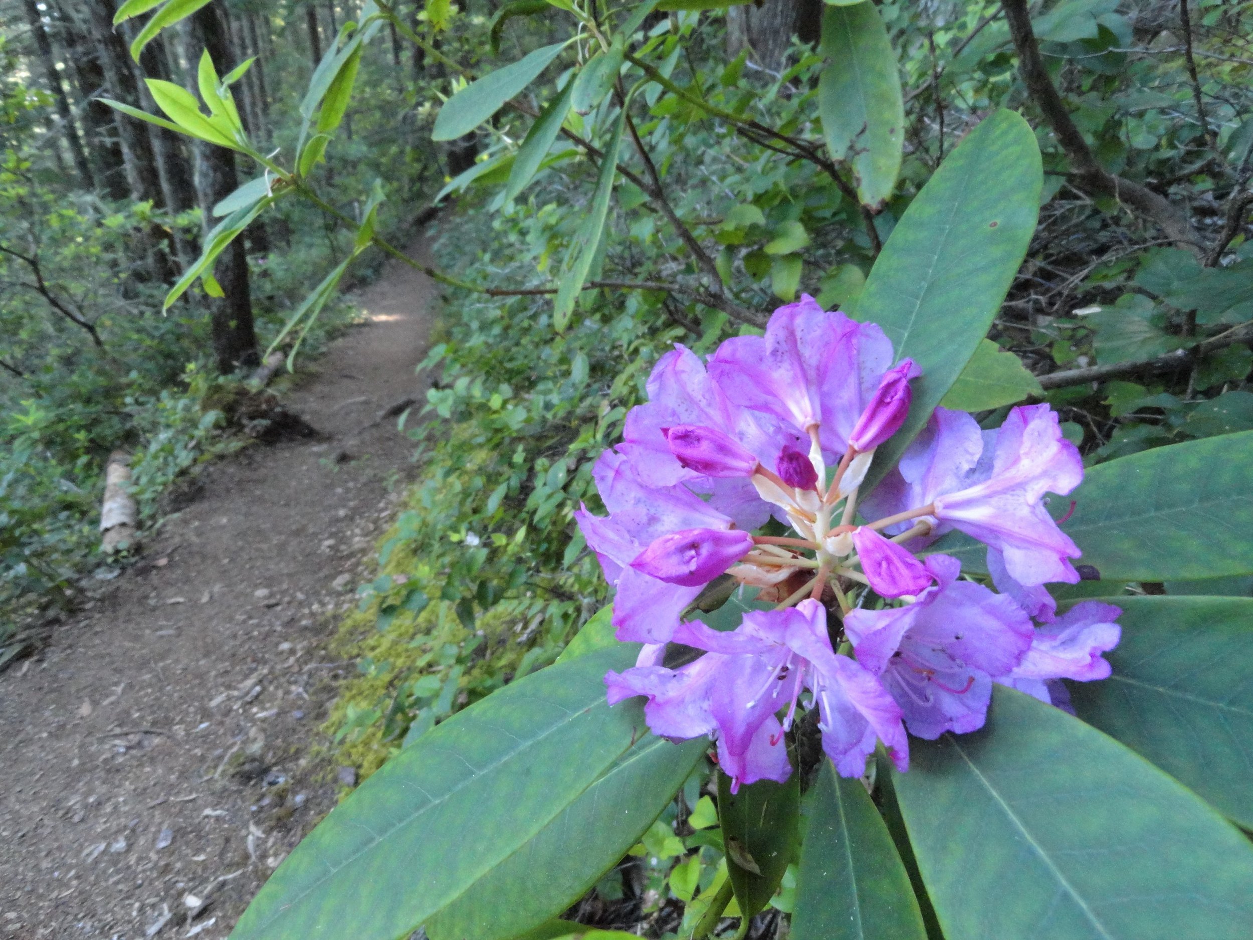
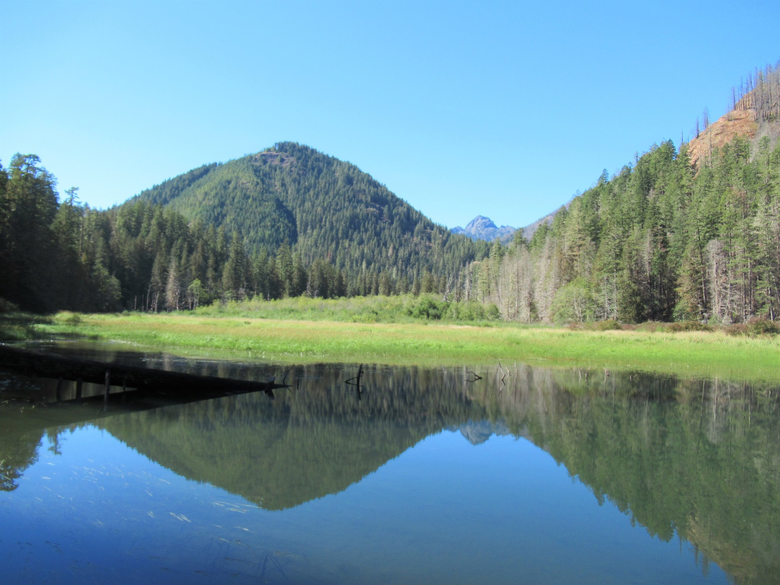
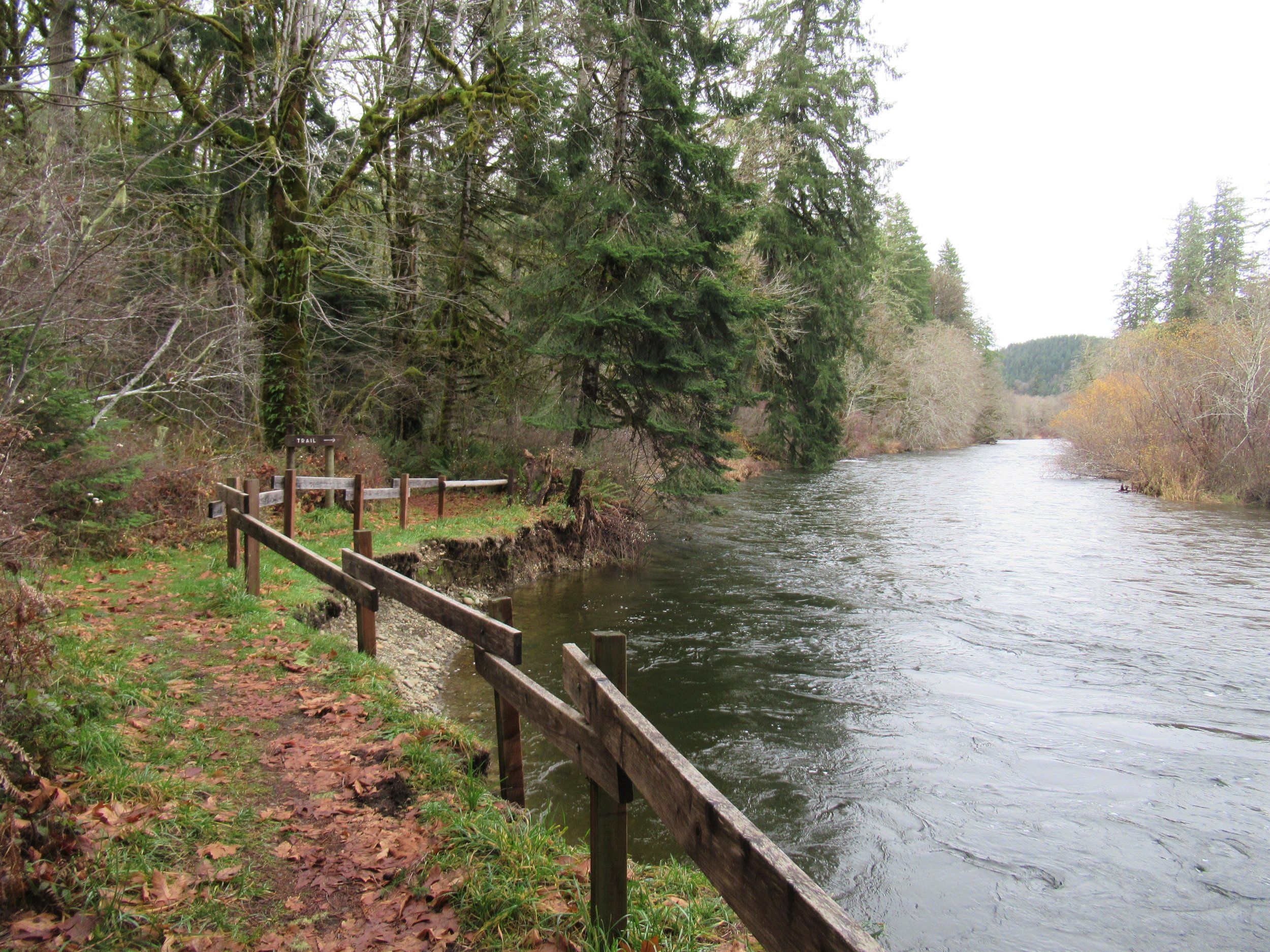
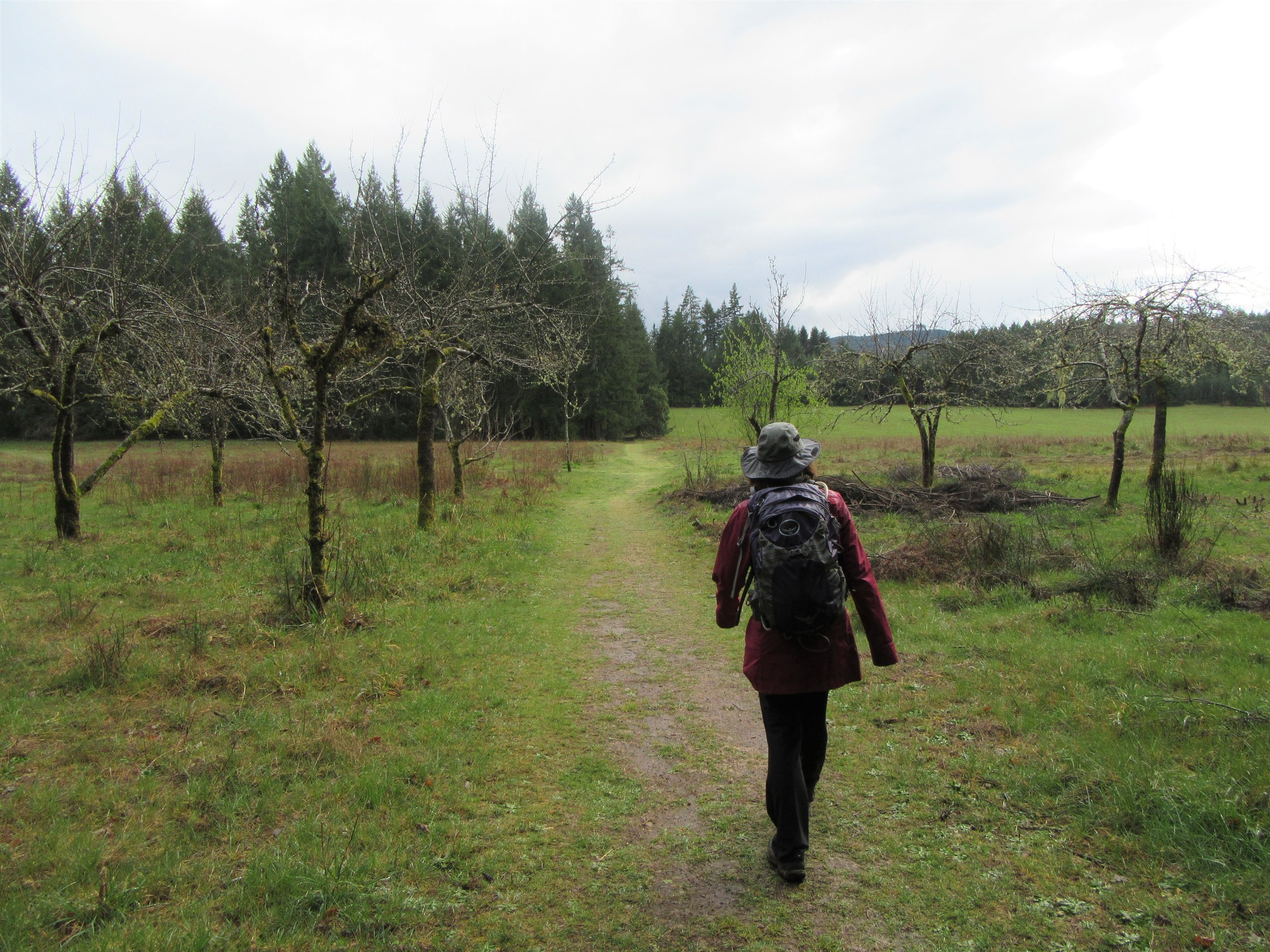
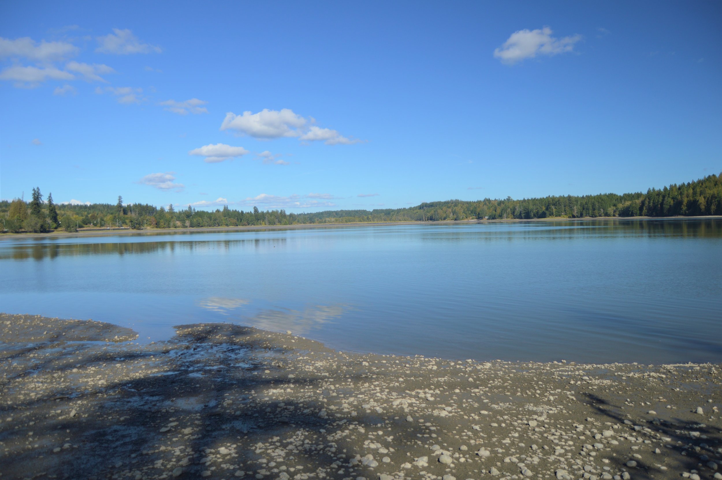
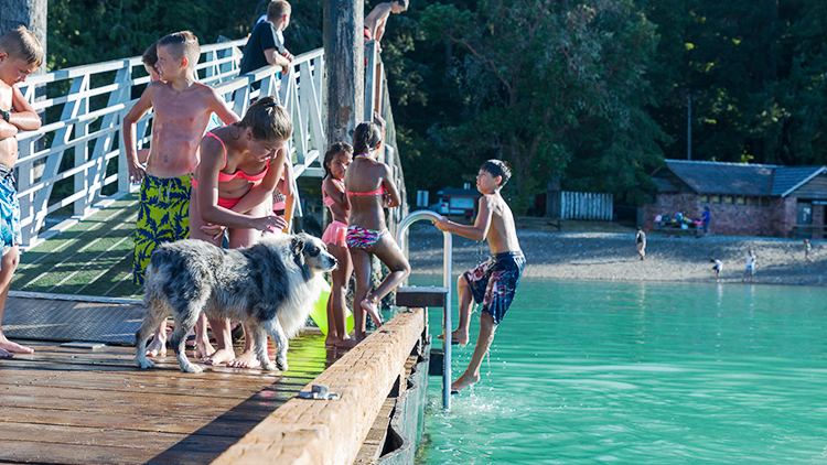
Known for its expansive beach on Hood Canal, which boasts some of Washington's warmest salt water. Visitors mainly head to the beach or campground, so the park's trails are often peaceful. Find the trail start near a group of rhododendron bushes. The path runs alongside Twanoh Creek, leading to a delta on the beach. It eventually reaches a crossroads.
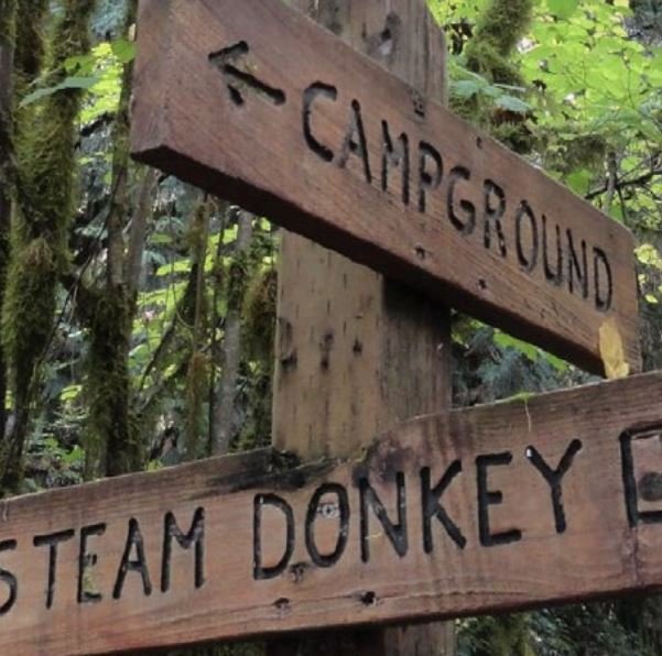
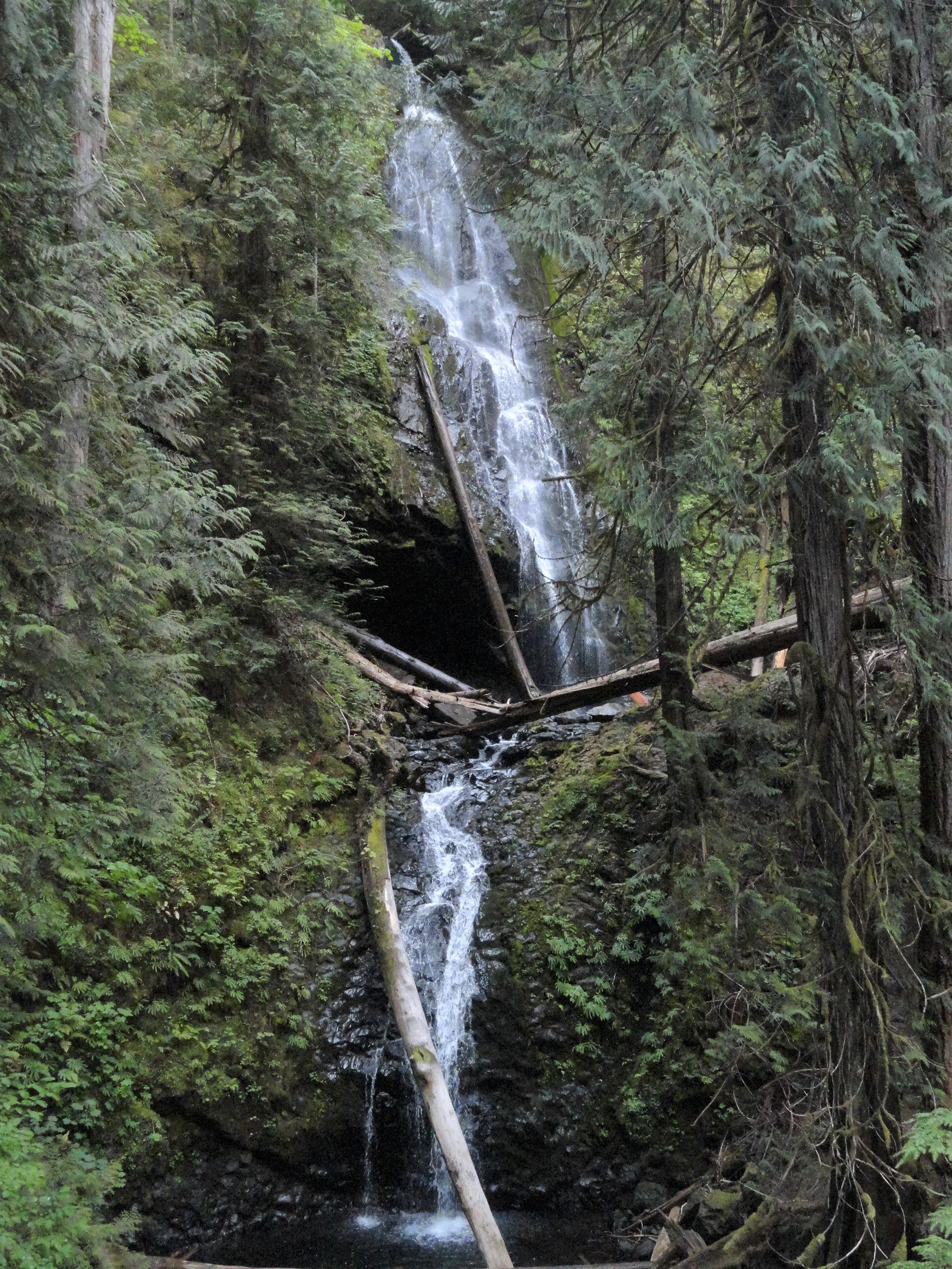
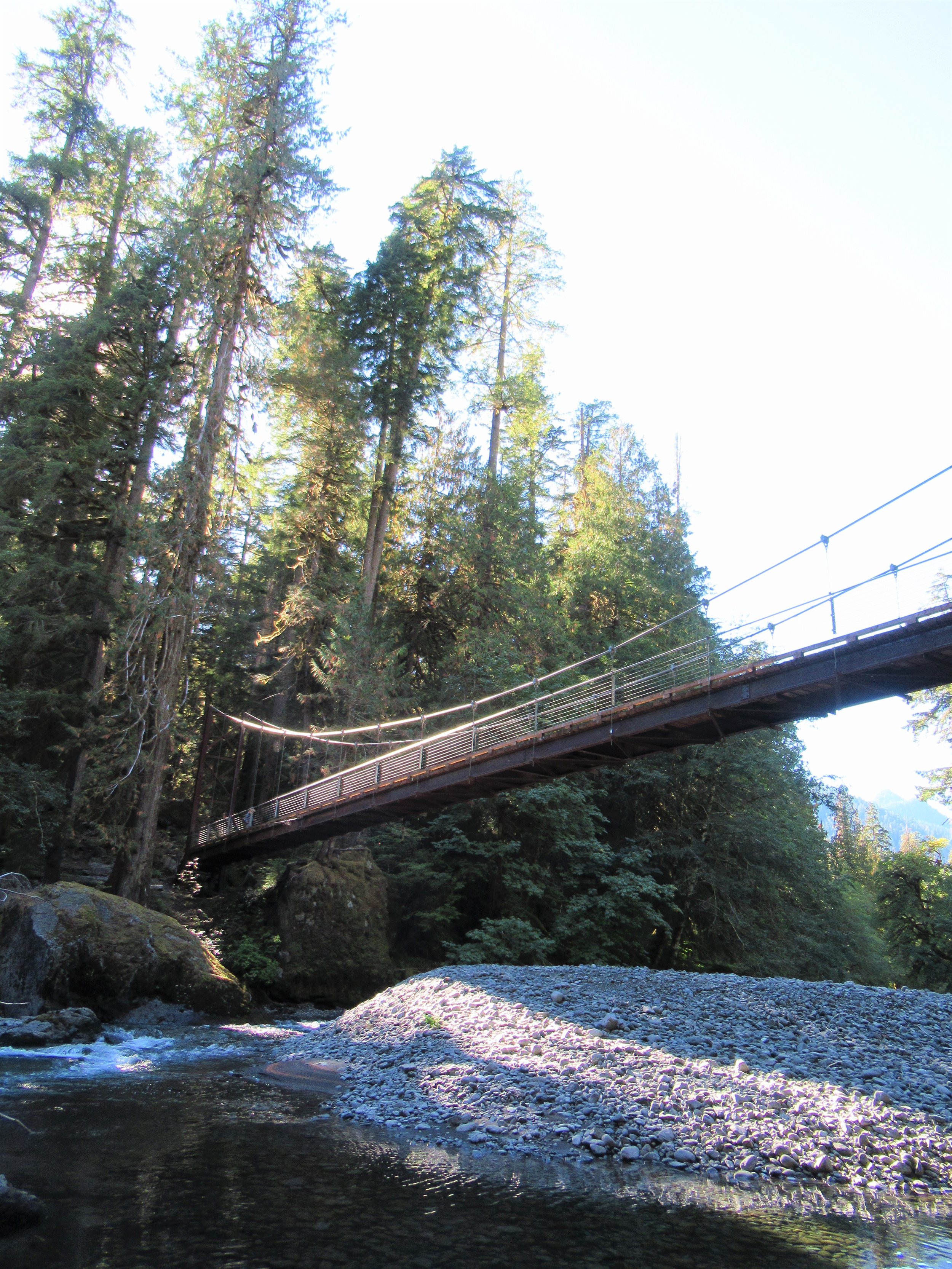
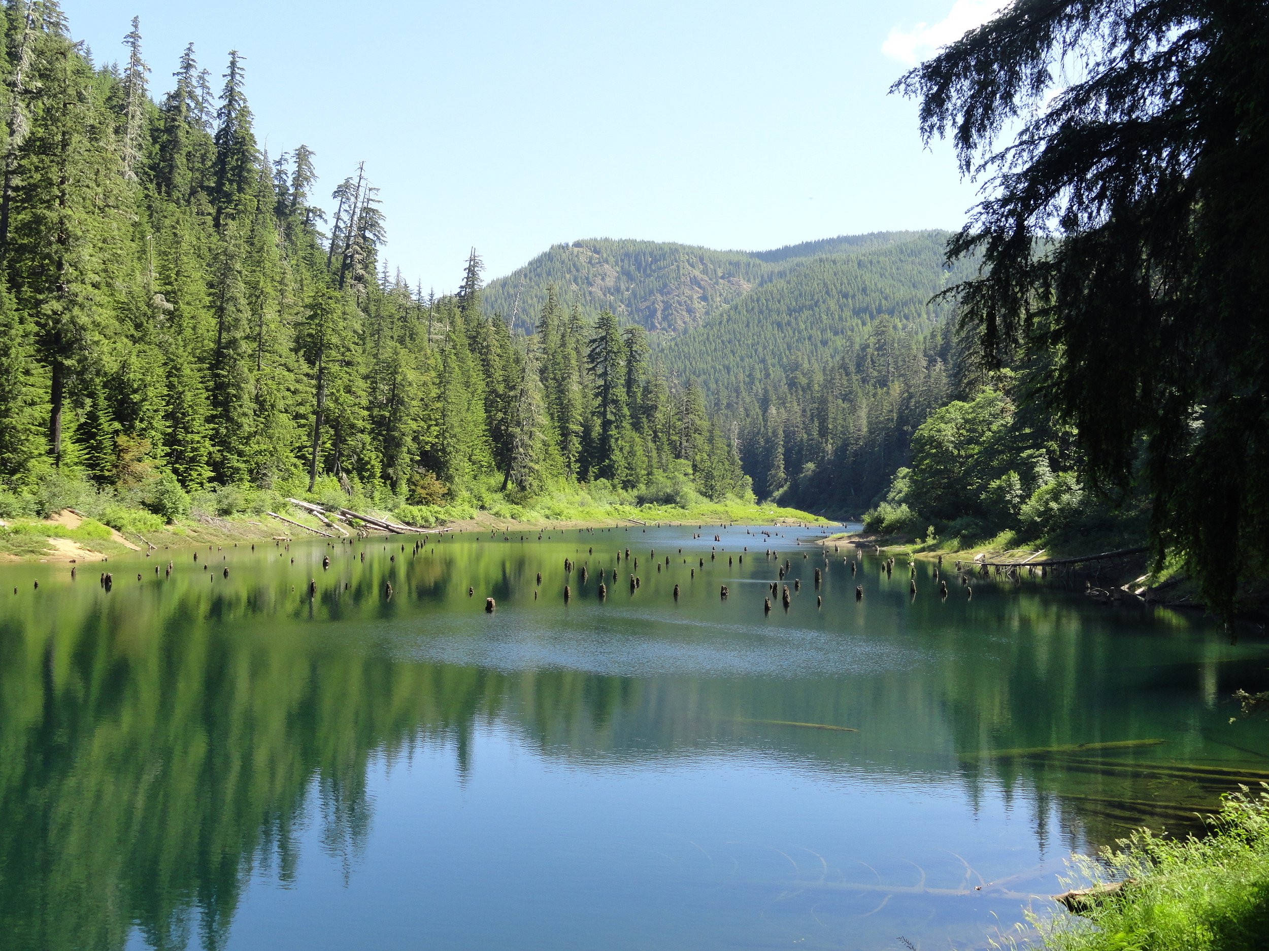
In this area, a small trail crosses the creek on a nice bridge to the campground, providing another starting point for campers. The main trail goes through rhododendron tunnels and a grove of large cedars. It then goes up a small ravine with a creek. The forest has grown back after logging. At about 0.3 miles, there's a junction for a loop. You can go either way, but going left creates a clockwise loop with a gradual uphill climb out of the ravine. The vegetation changes as you climb, becoming drier on the ridge. After two switchbacks, you reach the top of the ravine. Then, turn right onto an old road. Walking is easy. You'll come to a group campsite and another junction. The old road returns to the Day Use Parking Area for an alternative return. The loop continues right with a downhill switchback back into the ravine. You'll pass large old Douglas firs and rhododendron clusters before reaching the loop junction. Head left back to the trailhead—and maybe to the beach..
Highlights: CCC-built structures, ravine above Hood Canal, Pacific rhododendrons
Distance: 2.3 mi loop; Elevation Gain: 400 ft
Difficulty: Moderate; Permits: Discover Pass
Notes: Open year-round, dog-friendly; good for families, beach and stream
Trailhead Amenities: Campground, water, privies, picnic
GPS Waypoint: N47 22.661 W122 58.395
Contact/Map: parks.wa.gov/294/Twanoh
Trailhead Directions: From Skokomish on US 101 follow SR 106 east for 12.5 mi to trailhead before campground entrance.


Traditional Mexican along with views of the Hood Canal

Fresh local seafood, dry aged beef, world-class wines and waterfront views makes restaurant a destination in itself, outdoor patio takeout

Sandwiches, Burgers, Steak, Seafood, Full Bar. Located at the Alderbrook Golf Course and open for regular dining and private events. Scenic views of Hood Canal & Olympic Mountains.

Year-round community gathering space offering local snacks, art, gifts, and specialty grocery items located on Hood Canal within a working marina

All your favorite pizzas and calzones, plus some of their specialties and add on some Olympic Mountain Ice cream for dessert
Hood Canale's pizza and wine shop featuring local craft, draft beers and an extensive wine list from the Northwest and well beyond. Also serving wood-fired thin-crust pizza and live music on site.