
McMicken Island
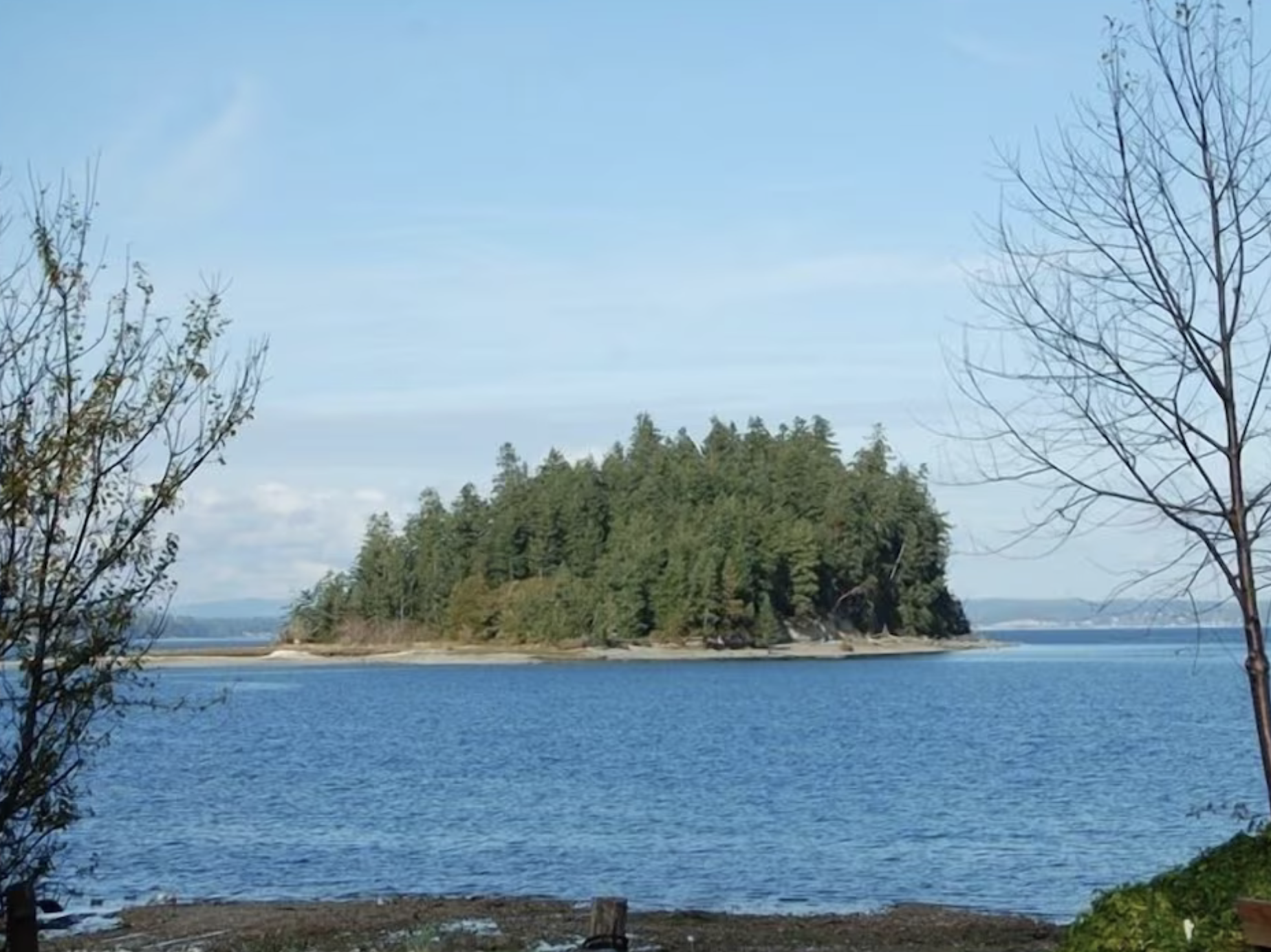
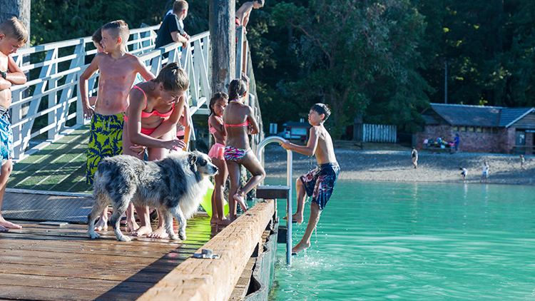
McMicken Island in Case Inlet can be reached without a bridge or ferry. During low tide, a sandbar appears, connecting the island to the mainland. You can hike the island's half-mile trail, picnic in a small meadow, and explore its rocky intertidal zone. But watch out for rising tides to avoid getting stuck.
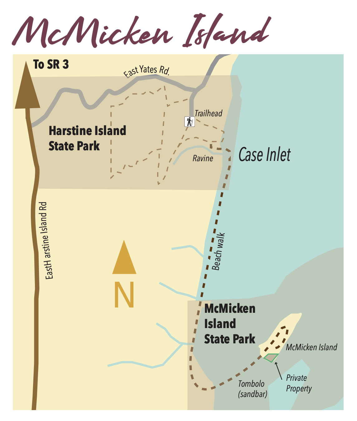
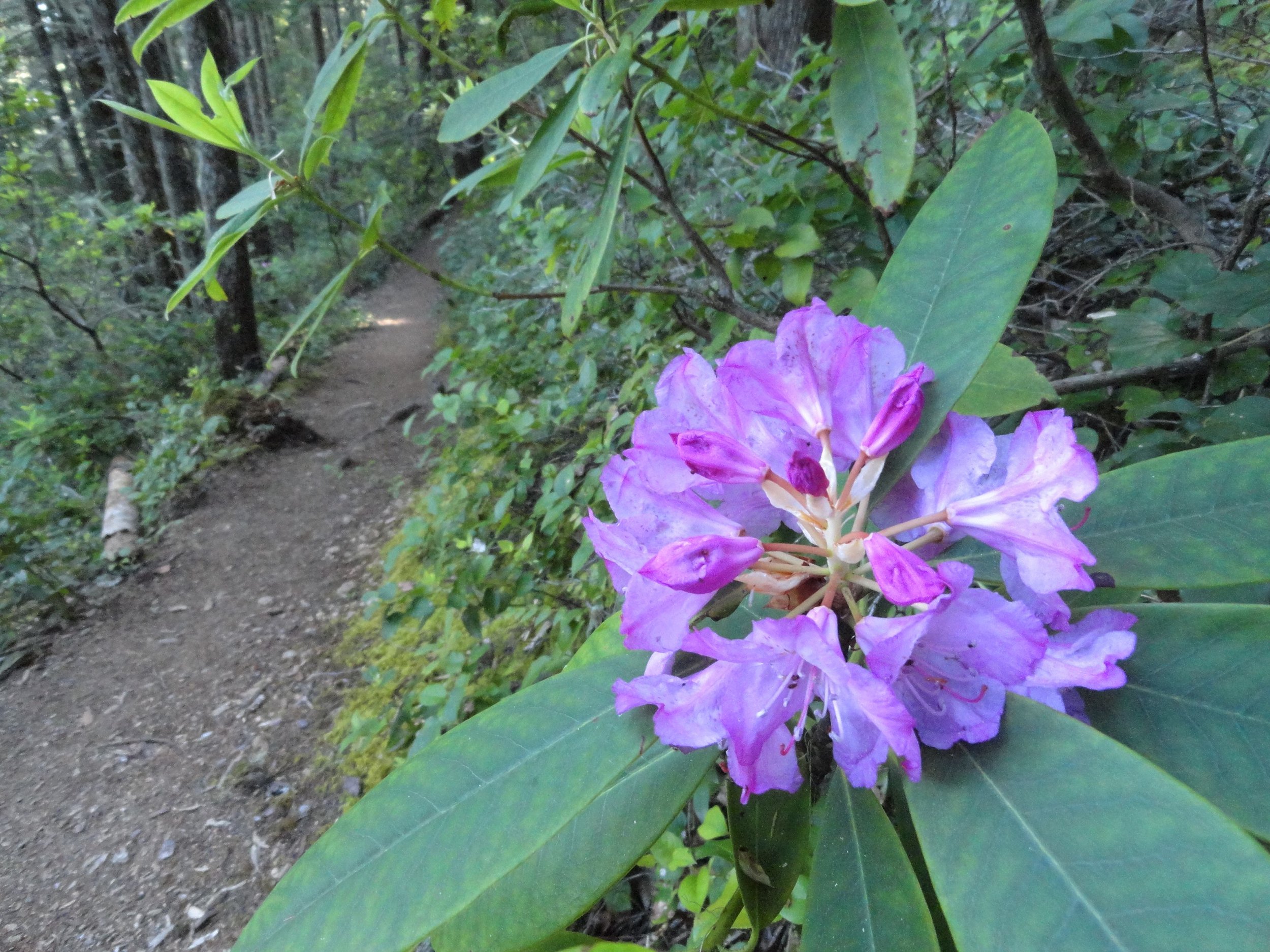
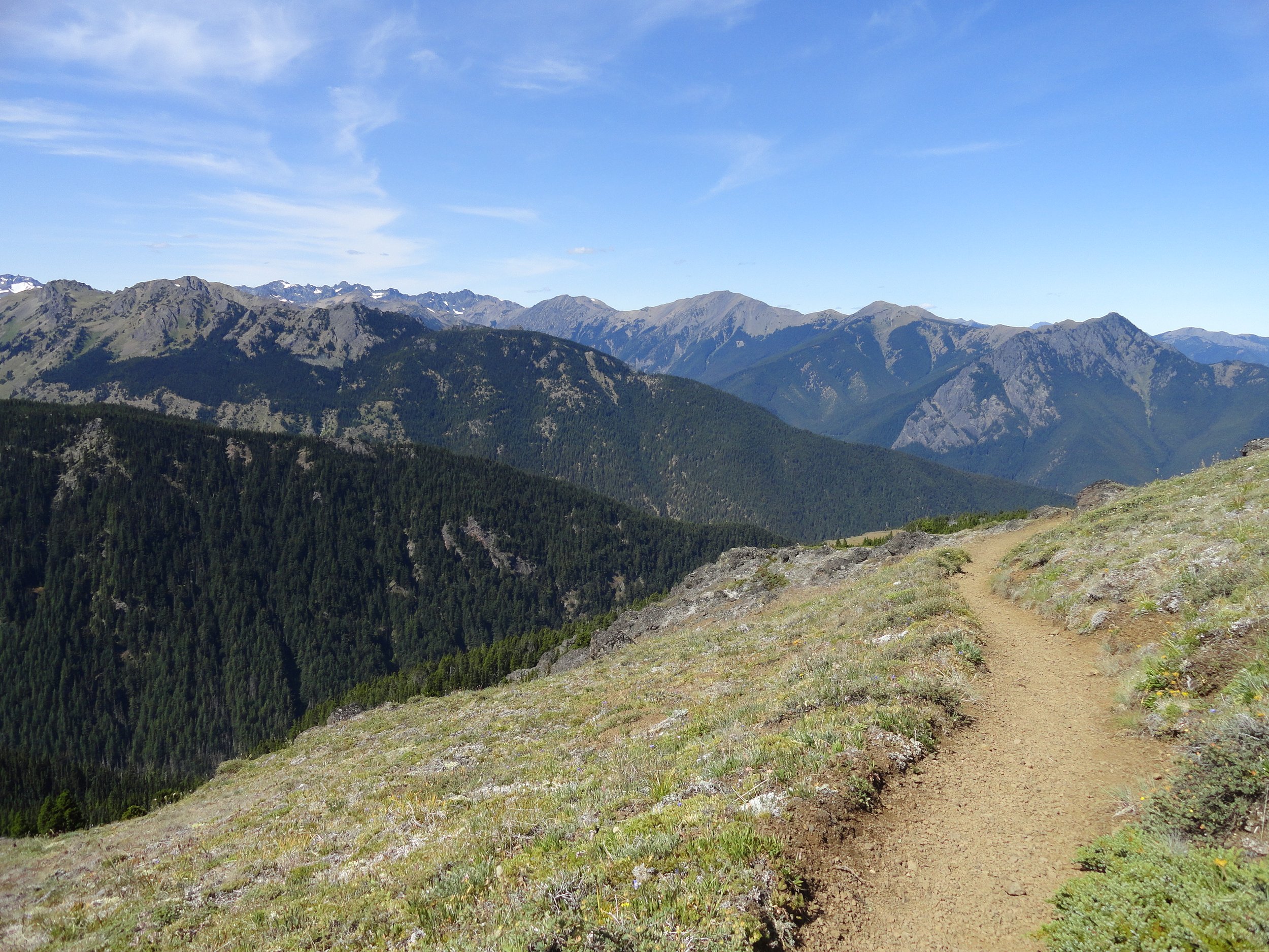
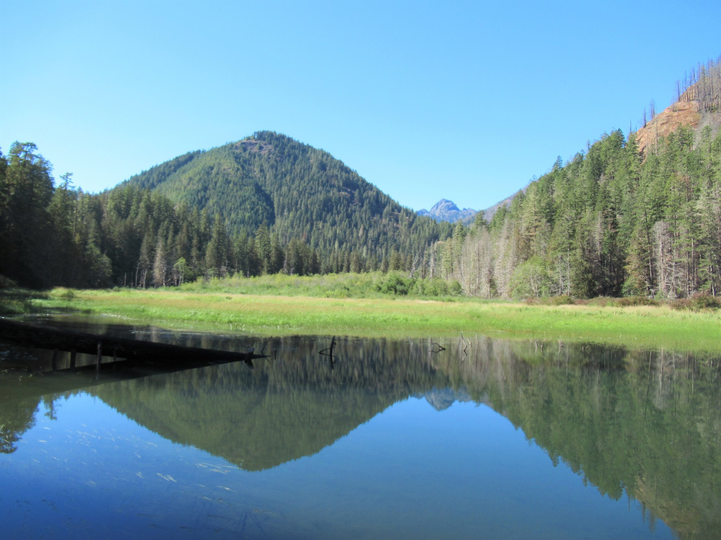
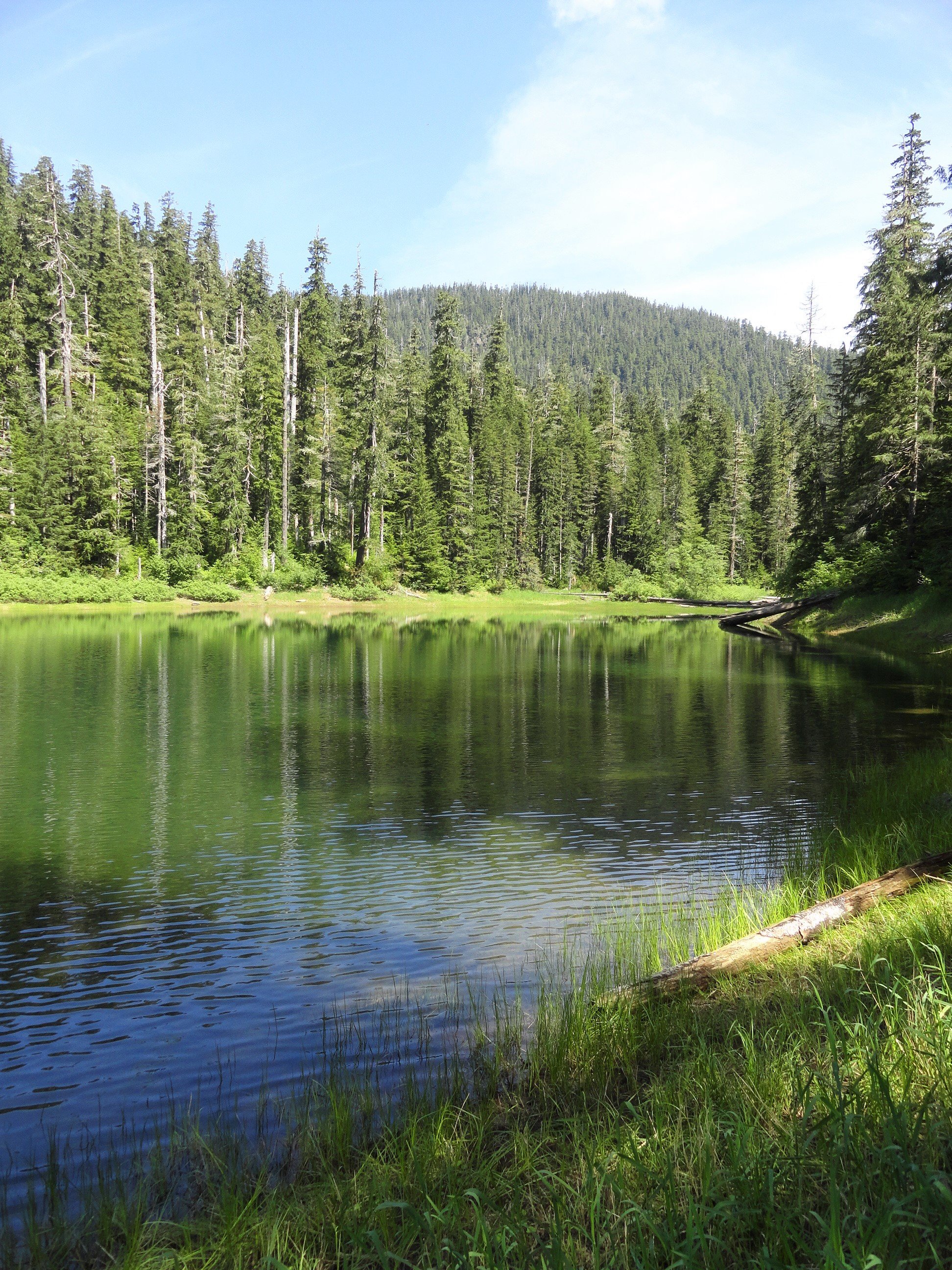
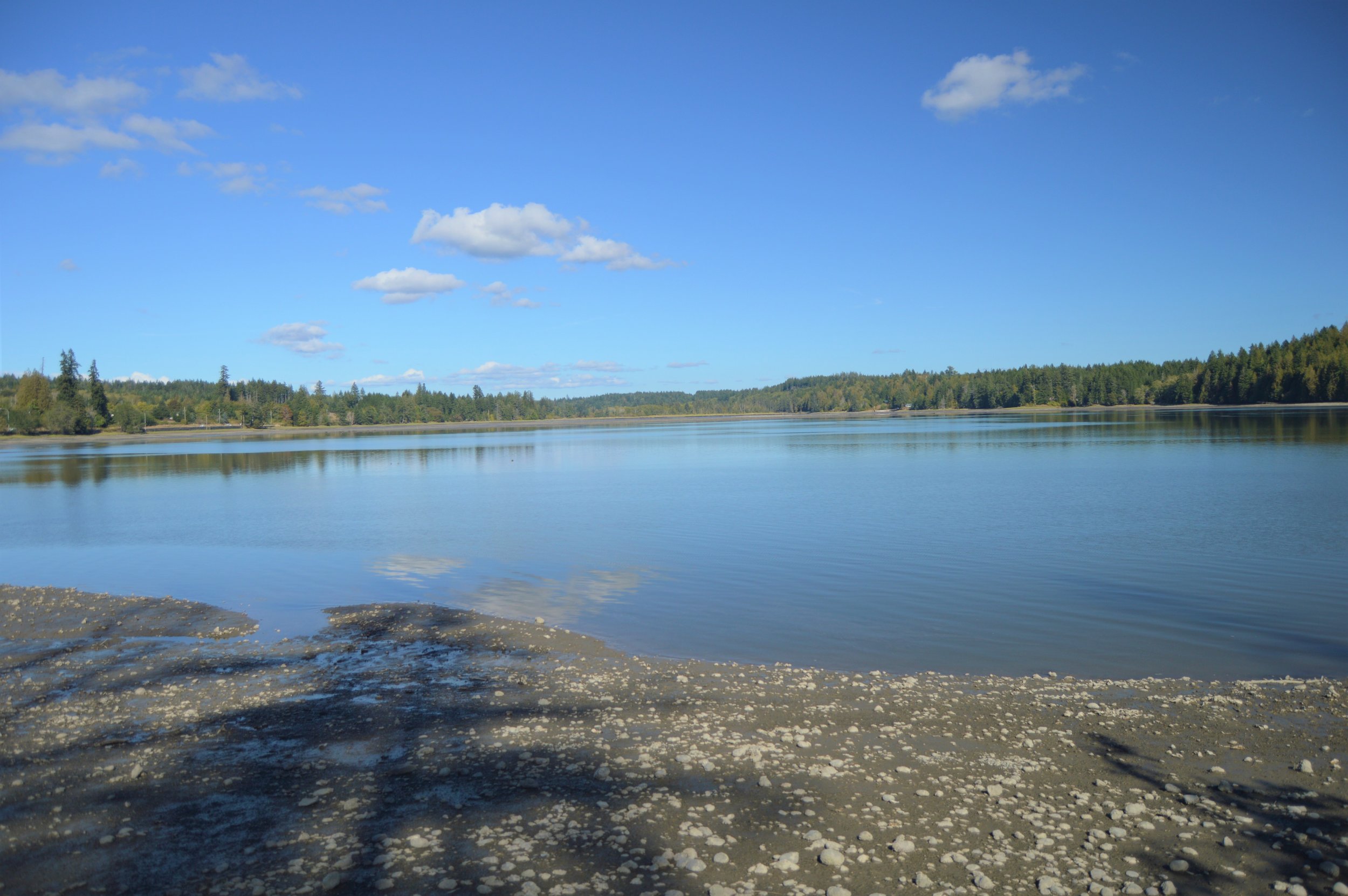
Start your hike from Harstine Island State Park by heading east from the parking lot. Follow the trail along a 100-foot tall forested cliff towards Case Inlet. Descend into a shady ravine filled with large cedar and fir trees, and then take a left at the junction to continue through a line of big cedars. Descend further into the ravine using steps and arrive at a quiet beach after crossing a creek. From the beach, you can see Herron Island and the Key Peninsula to the east, and McMicken Island with Mount Rainier in the backdrop to the south.
During high tide, you may need to wait to walk on the beach due to overhanging trees blocking the way, but during low tide, you can enjoy a vast beach with different terrains like sand, mud, and cobbles. Keep an eye out for various bird species like eagles, herons, and seabirds along the way as the hike takes you through public tidelands. Note the private property between state park areas along the shoreline and respect any posted signs.
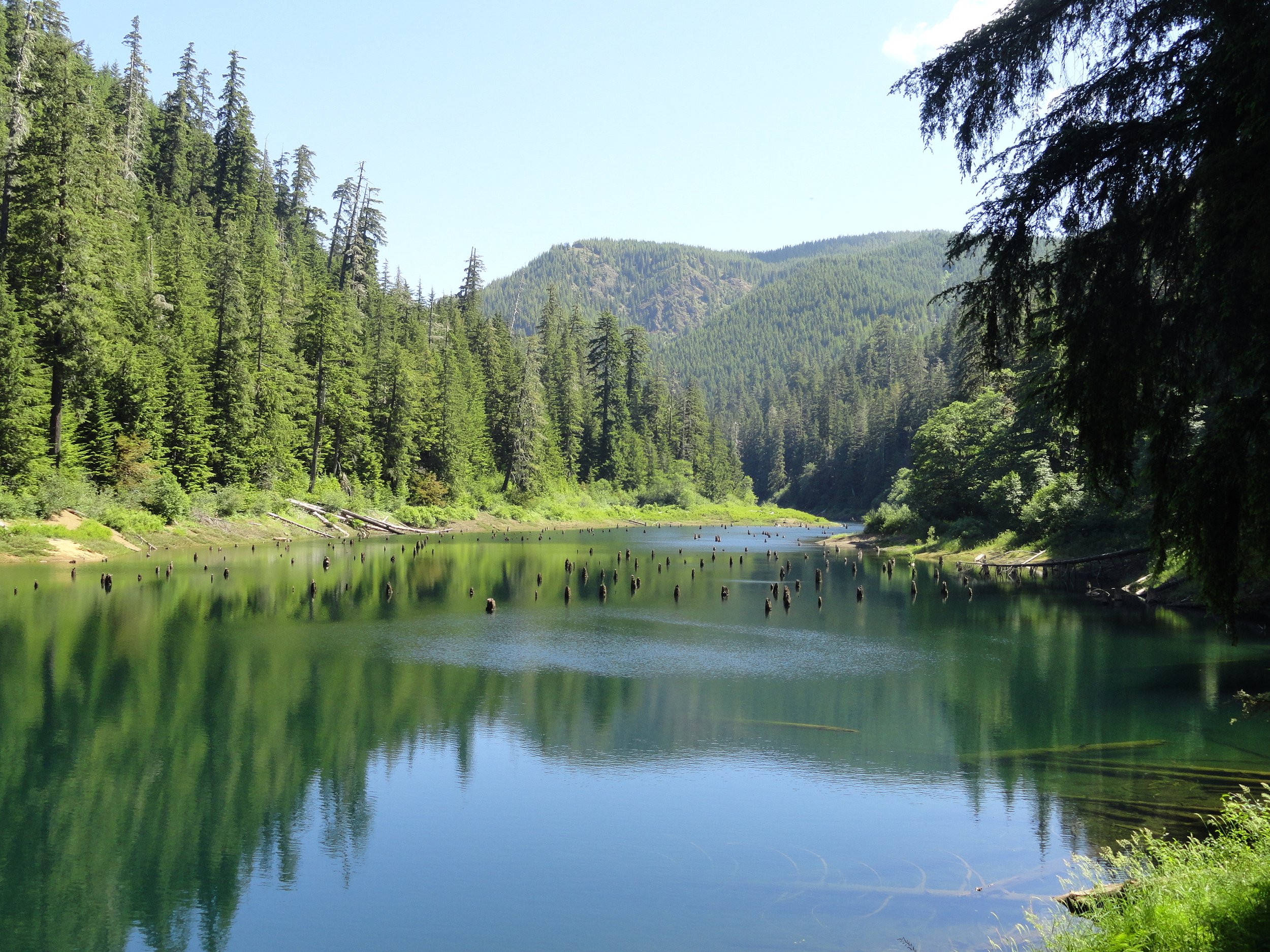
After crossing a sandy strip to reach McMicken Island, you'll find most of the island as state park land except for a small private parcel with cabins. Explore the western end with a picnic area and continue to the eastern side to find a nature trail passing through towering firs and madronas. Enjoy bluff-top views before heading back. If time allows, check out the rocky tide flats around the island but stay alert for high tide to avoid getting stranded.
HIGHLIGHTS
Beach walk to small island; great birdwatching
Distance: 4.0 mi round-trip; Elevation Gain: 150 ft
Difficulty: Easy; Permits: Discover Pass
Season: Year-round
Notes: Hike during low tides. Check tide tables.
Kid & Dog Friendly: Yes; Amenities: Privies, picnic tables
GPS Waypoint: N47 15.737 W122 52.236
Contact/Map: Washington State Parks
Trailhead Directions: From Shelton, SR 3 east 7.8 mi. Right on Pickering Rd for 3.3 mi. Bear left on Harstine Bridge Rd to T-junction. Left on N Island Dr for 3.0 mi. Right at community hall onto E Harstine Island Rd. Left on Yates Rd for 0.9 mi. Right into Harstine Island State Park for trailhead parking in 0.2 mi.


Family-friendly restaurant with a large menu and great views

Family-friendly microbrewery, restaurant, and arcade in downtown Shelton.

The Deli offers wines, cheeses, smoked meats, fresh sandwiches, soup, and various drinks. Olympic Bakery and Deli serves breakfast, lunch, and light dinner-style fare.

A food truck creating and frying all sorts of food.

A variety of different restaurants at the resort.

The menu includes prime rib, steaks, local seafood, burgers, sandwiches, pizza, and a full breakfast menu. The lounge offers about the largest selection of Pull Tab games in the state.

Breakfast, lunch and dinner specializing in clams, oysters and razor clams. Banquet room, full service lounge, pool table, pull tabs.

Fresh pastries, sandwiches, and Batdorf & Bronson coffee drinks are available at this tiny downtown cafe. Indoor dining and take-out.

Small-Batch Coffee Roaster with Drive-Thru, Indoor Seating and Outdoor Patio
Fresh, seasonal, and local food. Irish fare is a staple on the menu and all are made fresh daily. They do our corned beef slow and low so it is always fork tender.

Japanese cuisine and dining

Authentic Thai Cuisine, Family Friendly

Asian-inspired classics, eat-in or take-out available.

El Sarape is in Evergreen Square next to their popular Cantina Bar. Featuring Mexican classics, be sure to try the carne asada.
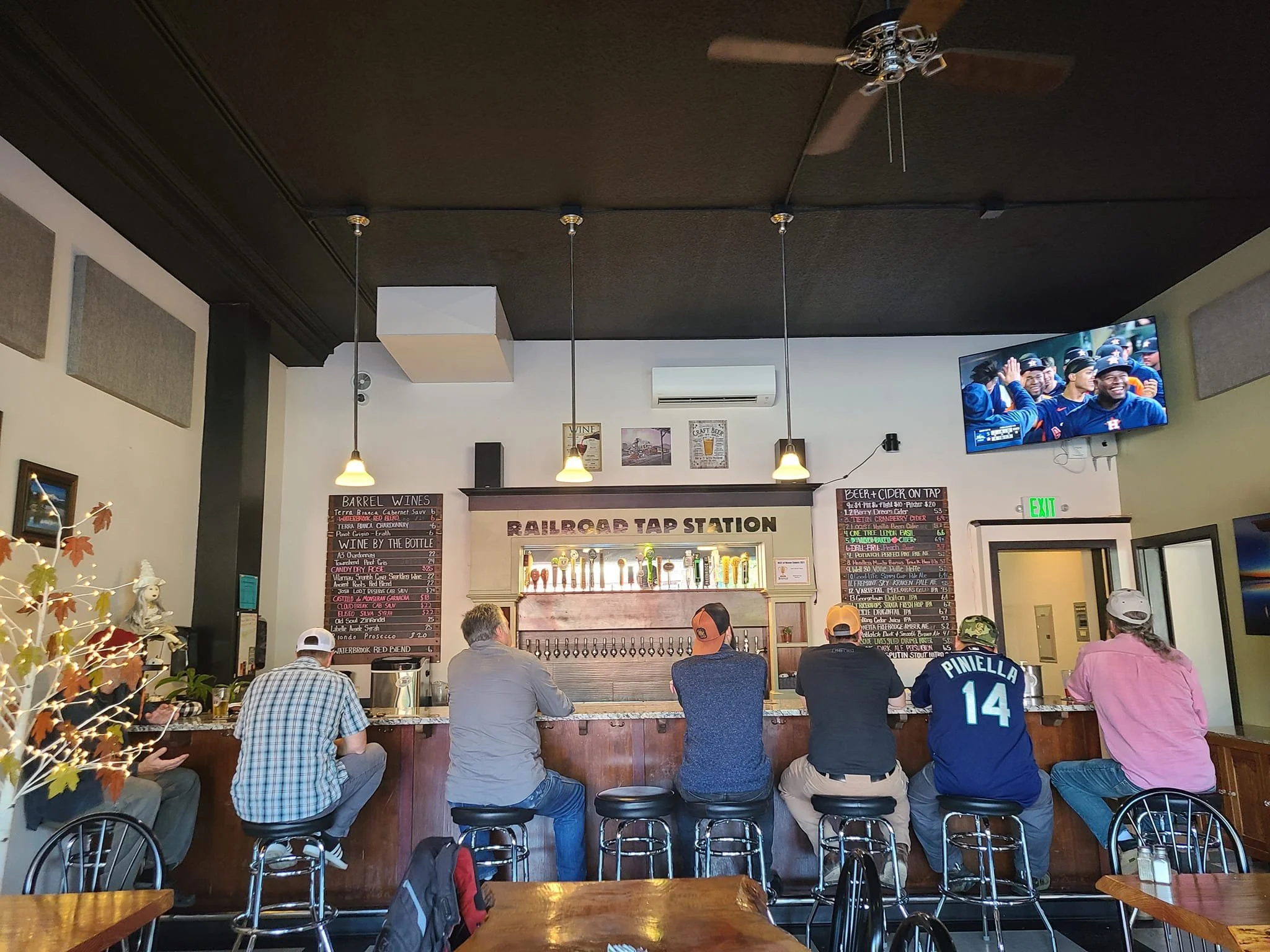
21 rotating beers & ciders on tap, 4 barrel wines by the glass, bottles of wine for purchase, along with pizza, pasta, salads & appetizers. +GF pizza options available.

A Shelton staple since the 1970’s, Ritz Drive-In offers a traditional drive-thru menu; burgers, onion rings and milkshakes. Make sure you get the special fry sauce!

Located in historic downtown Shelton, Washington, County Line Fire is the perfect spot for a night out with friends or a family gathering.


Bob's Tavern is a bar that offers bar food, beer, wine, cocktails, and happy hour drinks. Some of their most popular dishes include fried chicken, steak bites, and “Chicken and Jo's.” Open 6:30 AM – 2 AM.

Famous delicious fries and shakes since 1966, Big Bubba’s is also a great place to have their famous signature burger, a monster-sized 1lb beast of Black Angus beef with bacon and cheese on a fresh Kaiser bread roll which was recently named one of the top 25 burgers in Washington state.

The Boat House accepts reservations in the dining room and the bar and outdoor patio dining areas are fully available for walk-in, first come first serve.

The Bistro offers a full menu with expanded offerings, daily specials, a great Sunday brunch, friendly atmosphere in a beautiful location on the gof course overlooking the lake.

You know that local watering hole that every small town has? Well The Cabin Tavern is it! Come on in
Traditional Mexican along with views of the Hood Canal

Mexican favorites, Takeout, Seating, Television, Wheelchair Accessible, Serves Alcohol

A long time staple of Shelton serving milkshakes, breakfast and lunch items


Asian-inspired classics, including sushi and tempura.
This clean and cozy cafe is located on Railroad Avenue in Downtown Shelton, next to the Shelton Inn. With plenty of parking, this popular local hangout is great for breakfast lunch and dinner with casual dining and home cooking.