
Home Lake
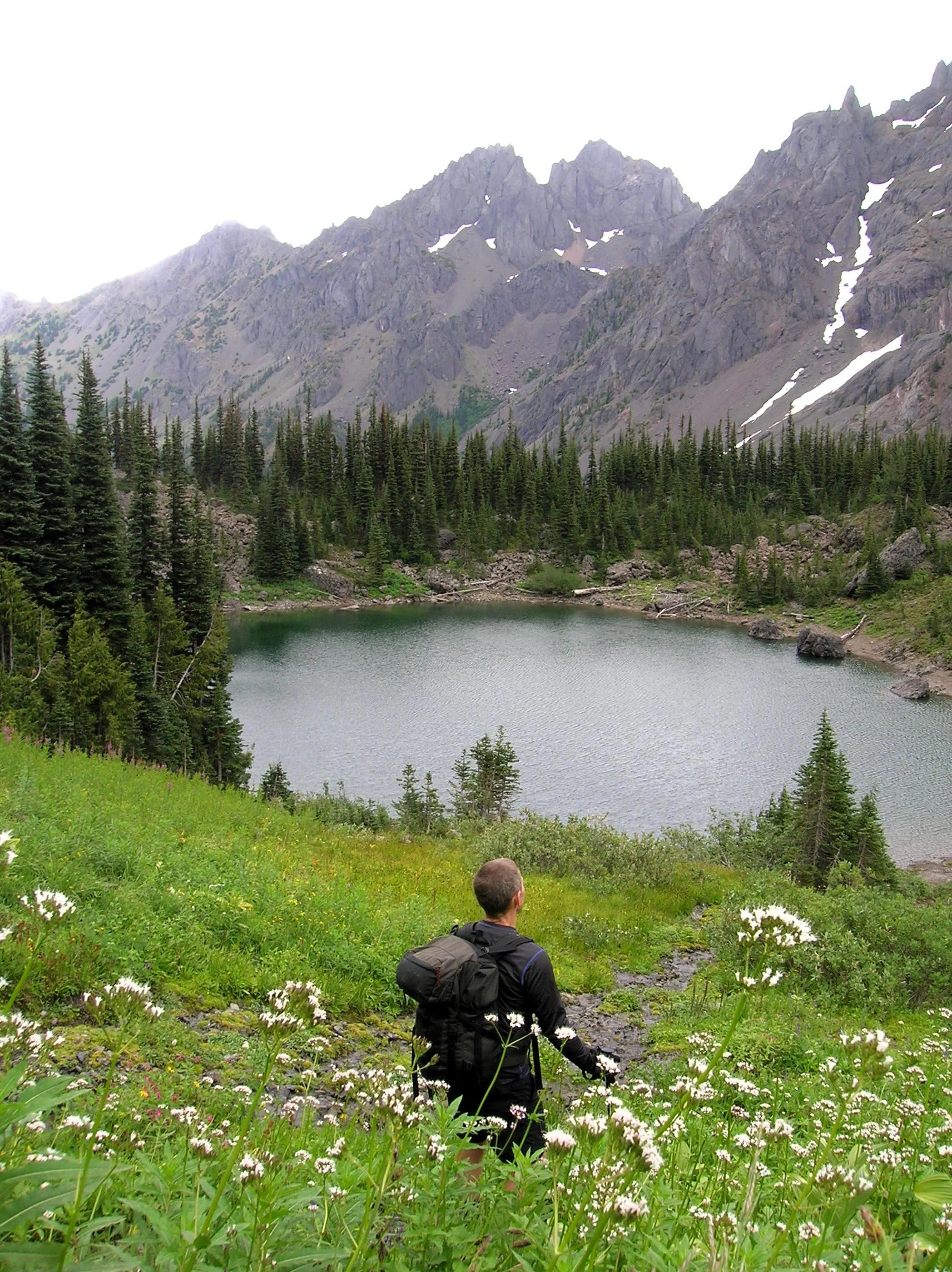
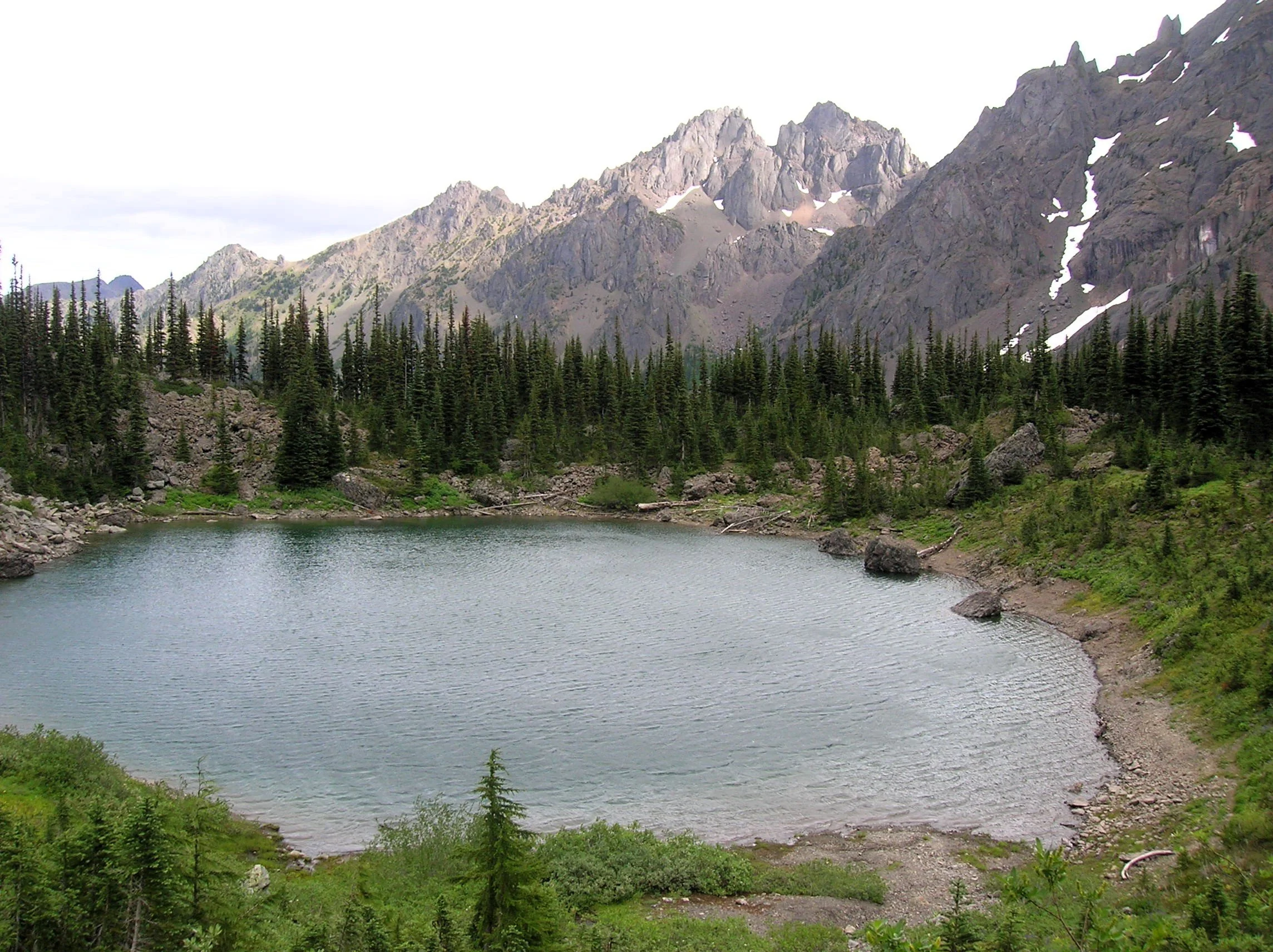
Little Home Lake lies on a rugged and remote ridge tucked between some of the highest and most impressive peaks in the Olympic Mountains. Fed by springs and surrounded by clusters of subalpine firs and flowering meadows, Home’s setting is quite serene. But cast your attention beyond its placid waters and be blown away by the staggering beauty of its neighboring mountains—especially of 7,756-foot Mount Constance, whose sheer western rock face towers above the lake.
Craig Romano | photos & story
Little Home Lake lies on a rugged and remote ridge tucked between some of the highest and most impressive peaks in the Olympic Mountains. Fed by springs and surrounded by clusters of subalpine firs and flowering meadows, Home’s setting is quite serene. But cast your attention beyond its placid waters and be blown away by the staggering beauty of its neighboring mountains—especially of 7,756-foot Mount Constance, whose sheer western rock face towers above the lake. It’s an awe-inspiring scene, and a side of the mountain so starkly different from the one presented to countless folks who have admired this familiar peak from the east.
It’s a long way to Home Lake making it a multi-day hike for all but the strongest hikers and trail runners. The lake can be approached via four routes with the approach starting on the Upper Dungeness Trail being the shortest and easiest (but not easy). That route along with the Tubal Cain Mine Trail approach involve long (and bumpy) drives for folks coming from the South Sound.
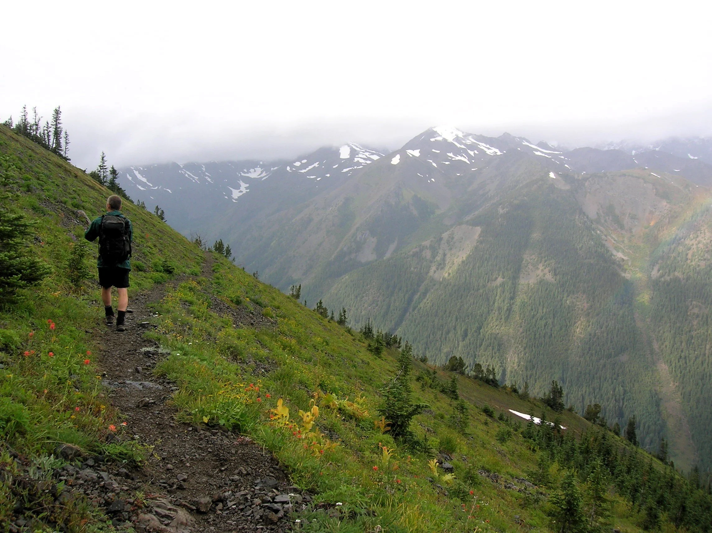
The Dosewallips-Constance Pass approach involves walking a long stretch of old road and a very steep lightly maintained trail. My preferred route to Home is via the Upper Big Quilcene River Trail to Marmot Pass. While this means enduring a busy trail for a few miles, you’re rewarded with exceptional views and several excellent campsites along the way if the 11 mile route to the lake is too much to do in one day.
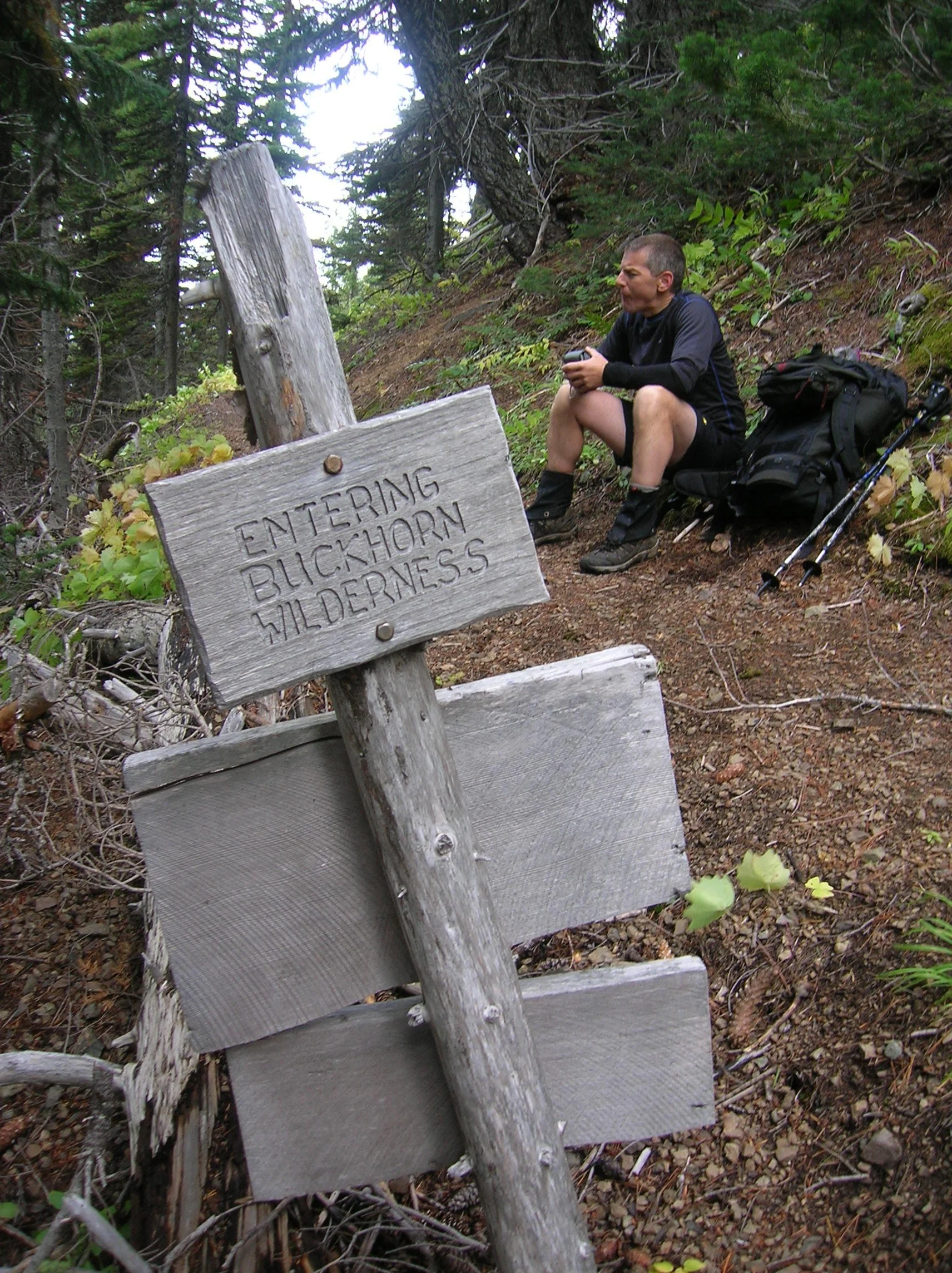
The Upper Big Quilcene River Trail enters the 44,258-acre Buckhorn Wilderness, the largest roadless area within the Olympic National Forest. The trail starts off gently traversing magnificent stands of primeval forest along the churning waters of the Big Quilcene River. You’ll cross many side creeks along the way. Lack of water is not an issue on this route. After passing Shelter Rock Camp, the trail steeply climbs away from the river to begin traversing open avalanche chutes and scree slopes offering good views of the rugged surroundings. Keep climbing—it only gets better. At just shy of five miles the trail reaches busy Camp Mystery set in a grove of Alaska yellow cedars and subalpine firs. Its springs are a great place to refill water bottles.
The trails now leaves the forest for subalpine meadows which burst with wildflowers through the summer. Watch for scurrying ground squirrels, languid marmots, and docile deer. At 5.3 miles, crest 5,950-foot Marmot Pass and savor the excellent view east to Hood Canal, Puget Sound, and the Cascades. Then gaze west towards the Dungeness Valley flanked by Mounts Mystery, Deception, and Walkinshaw; some of the highest summits in the Olympics.
From the pass, the Tubal Cain Trail veers right offering another albeit longer and more difficult approach to the pass. For Home Lake head left traversing open slopes granting sweeping views of a wall of craggy summits. Here in the Olympic rainshadow, the terrain is much drier than the rest of the Olympics. Lodgepole and whitebark pines cling to the ridges and steep slopes.
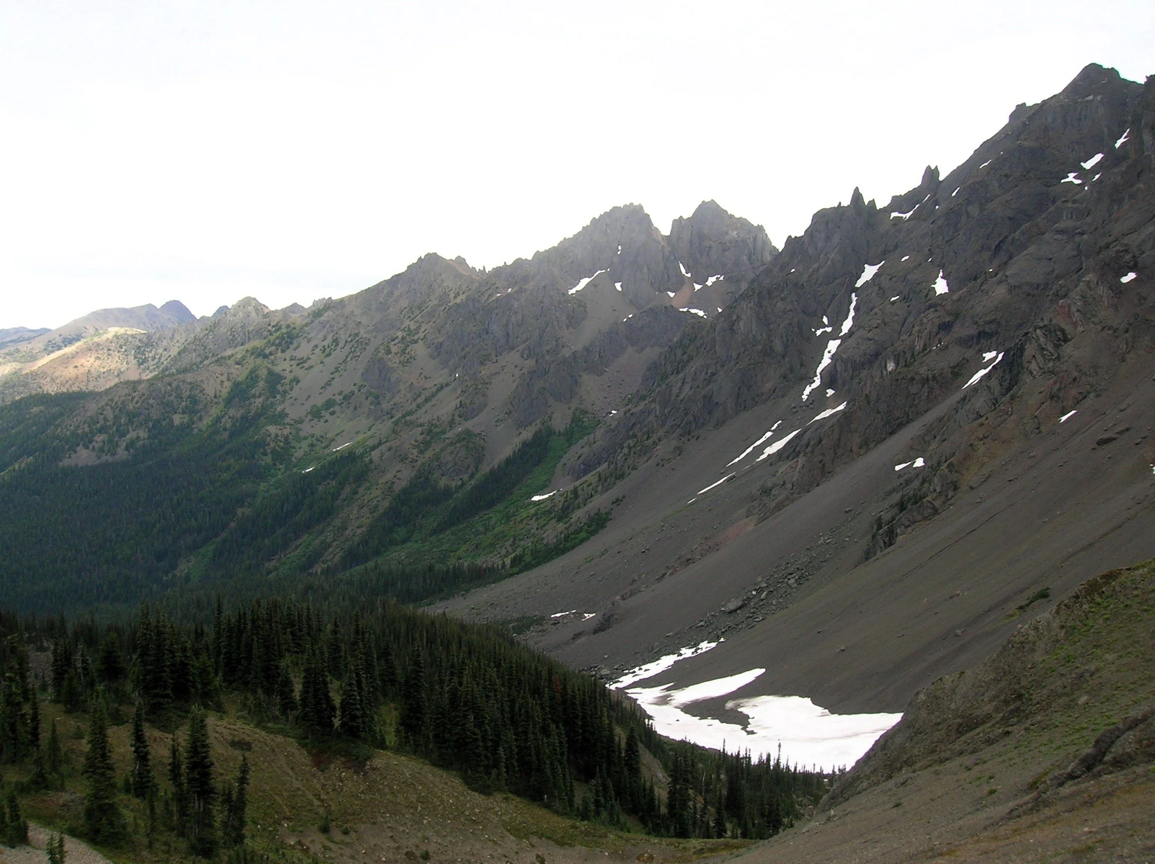
Look for Clark’s nutcracker, a jay-like bird which feeds on pine nuts. Listen for its raucous call, a rare sound in the Olympics.
The way now descends and traverses a steep slope that often harbors two steep (potentially dangerous) snowfields earlier in the summer. The trail then enters open pine forest and descends steeply. Remember—you’ll have to climb this stretch on your return. At just over 7 miles the trail reaches a junction with the Dungeness River Trail—the easiest approach to Home Lake.
Now continue left on the Home Lake Trail crossing a creek and entering an open basin littered with jumbled boulders. Here find Boulder Camp with its restored and historic shelter. This is a good place to set up camp for the night.
For Home Lake continue south climbing to a forested swale and soon reaching an unmarked junction. The trail left leads one mile to a 6,300-foot gap from where a steep scramble path drops 800 feet to the tiny Charlia Lakes tucked in a rugged cirque. It makes for a spectacular and challenging side trip.
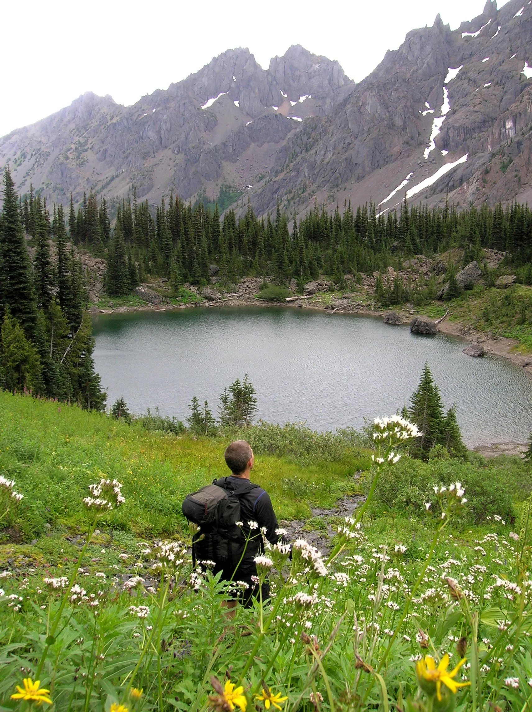
Continue south traversing steep slopes sporting stunted trees. At 8.0 miles enter Olympic National Park. If you’re hiking with a dog, this is your turning around spot. From here the lightly used path skirts steep avalanche swept slopes and crosses several cascading creeks. The terrain opens up as the trail travels beneath the formidable towering and stark walls of 7,300-foot Warrior Peak and 7,756- Mount Constance, third highest peak in the Olympics. The trail descends and gets rougher traversing a sprawling boulder and talus field. The walking is slow over the jumbled mess coupled by an inclination to keep tilting your head upwards and pause in amazement.
After negotiating the rocky mess the trail once again climbs. It ducks into a forested area to skirt snowfields at the base of Constance. At 10.5 miles and at an elevation of 5300 feet, reach Home Lake housed in a small basin beneath steep flowered slopes.
From its south shore enjoy home sweet views of Warrior Peak (named by celebrated climber Fred Beckey when he solo climbed it back in 1946). Lightly used camps (permits required) can be found on the wooded bluff above its western shore.
If you have any energy left, be sure to continue on the trail beyond the lake for another half mile climbing steeply up heather and flower fields to 5,800-foot Constance Pass. From here take in a breathtaking view of the Dosewallips Valley below and magnificent views of The Brothers, Mount Anderson, Mount La Crosse and a wide swath of the wild Olympic interior. Upon completing this hike, you just might be quoting a famous Dorothy with, “there’s no place like home!”
If you go:
Distance: 21.0 miles roundtrip
Elevation Gain: 5800 feet
High Point: 5350 feet
Difficulty: difficult
Snow free: July through October
Notes: Overnight camping permits required for Home Lake which is in Olympic National (acquire at Recreation.gov or from Wilderness Information Center in Port Angeles; https://www.nps.gov/olym/index.htm). Dogs are prohibited at Home Lake and in Olympic National Park. Campfires are prohibited Home Lake and above 3,500'. Dangerous steep snowfield just beyond Marmot Pass often lingers well into summer.
Trailhead Pass Needed: Northwest Forest Pass or Interagency Pass
GPS waypoints: Trailhead: N47 49.669, W123 02.445
Land Agency Contact: Olympic National Forest, Hood Canal Ranger District, Quilcene; and Olympic National Park, Wilderness Information Center, Port Angeles, www.nps.gov/olym
Recommended Guidebooks: Day Hiking Olympic Peninsula 3rd edition (Romano, Mountaineers Books) and Backpacking Washington 2nd edition (Romano, Mountaineers).
Trailhead directions: From Shelton, follow US 101 north for 48 miles turning right onto Penny Creek Road (about 1.5 miles south of Quilcene). After 1.5 miles bear left onto Big Quilcene River Road (FR 27) and follow this road for 9.3 miles turning left onto FR 2750. Continue 4.7 miles to the Upper Big Quilcene River Trailhead.
Trailhead facilities: privy

5 amazing hikes around Hood Canal
Craig Romano has outlined 25 great hiking destinations for us on Hood Canal — Here’s five to get you started!
Award winning local guidebook author, Craig Romano, shared 25 of his top area hikes with us in a handy “stuff-in-your-glovebox guide,” here are a few of the many hikes that are open and awaiting your adventure! Welcome to the #wildsideWA.
Tighten your laces!

1. Murhut Falls
(Olympic National Forest)
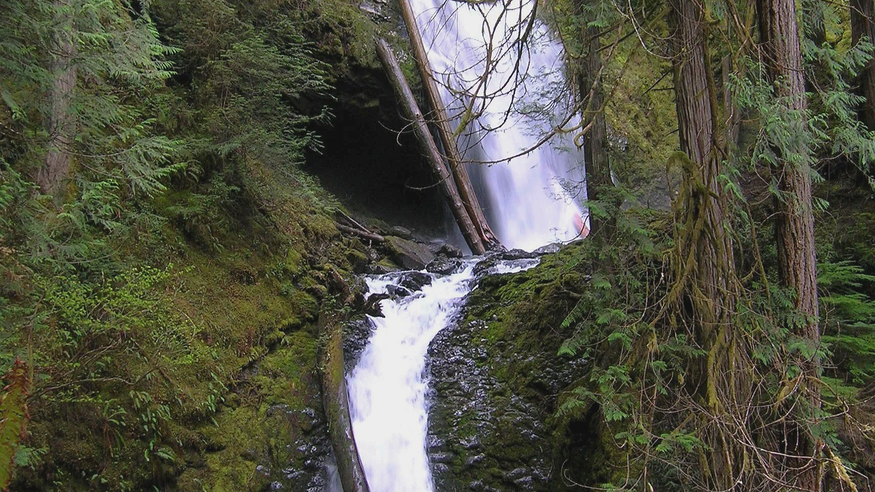
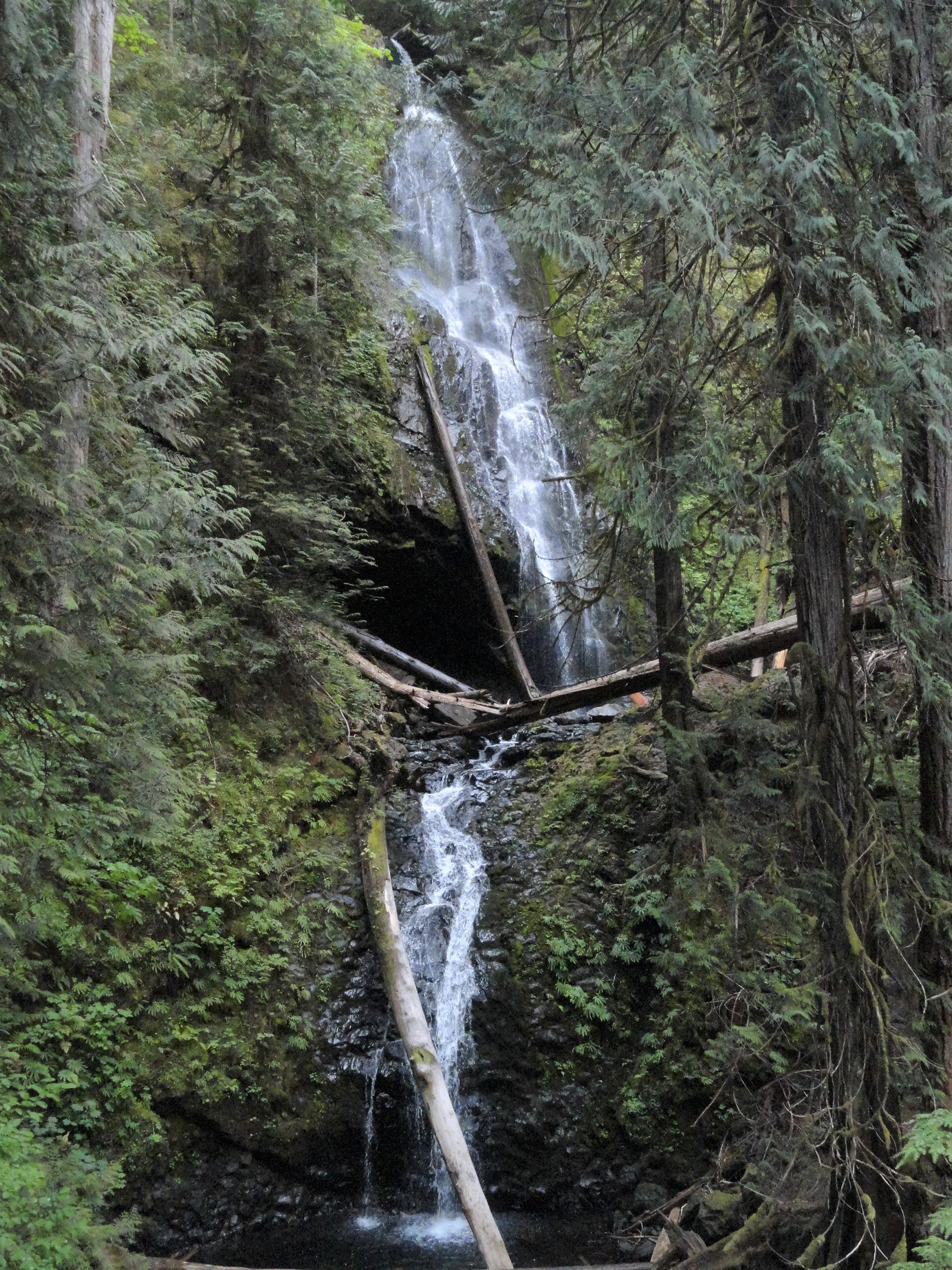
Hidden in a lush narrow ravine, Murhut Falls were long unknown to many in the outside world. But all that changed upon the construction of a well-built and easy to hike trail. This two-tiered waterfall that plummets 130 feet has become a favorite cascade for many Olympic Peninsula hikers. The trail starts by following an old well-graded logging road. As you work your way toward the falls, its roar will signal that you’re getting closer. Reach the trail’s end and behold the impressive falls crashing before you. The upper falls drops more than 100 feet while the lower one crashes about 30 feet.
Difficulty: Easy, 300 feet elevation gain, 1.6 miles
Permits: Not required
Kid and Dog Friendly: Yes
2. DuckabusH River trail
(Olympic National Forest)
The Duckabush River starts in the heart of the Olympic Mountains and flows through a deep verdant valley on its way to Hood Canal. Duckabush River Trail travels near and along the river for more than 20 miles terminating at Marmot Lake in the heart of Olympic National Park. At a little over 3 miles you will come to a ledge with a spectacular view east down the river valley. On a clear day you can see all the way to the Cascades.
Highlights: Old-growth forest, low elevation wilderness valley, backpacking opportunities
Distance: Moderate, 10.6 miles R/T Elevation gain: 2150 feet
Permits: NW Forest Pass /Interagency Pass
Kid & Dog Friendly: Yes

Duckabush River
3. LENA LAKES TRAIL
(OLYMPIC NATIONAL FOREST & PARK)

With all the fire activity this iconic trail system remains far removed from the bustle. The Lena Lakes are located above the Hamma Hamma valley. Despite having the same name, the two lakes have distinct differences. The lower lake is a simple, family and pet-friendly walk through old, tall trees in Olympic National Forest. The upper lake is a tough climb to a beautiful high area in Olympic National Park. The lower lake can be busy with hikers on a summer Saturday while the upper lake offers more solitude. Access to both lakes is the same.
Highlights: Old-growth forest, water!
Distance: Lower: 6 miles R/T; Upper: 14 miles R/T
Elevation gain: Lower: 1225 feet; Upper : 4100 feet
Difficulty: Lower Lake: moderate; Upper Lake: strenuous Permits: Northwest Forest or Interagency Pass
Hiking Season: Lower Lake: March to Dec; Upper Lake: July to November
Notes: Camping (no fires) at Upper Lake requires National Park Wilderness Camping Permit (contact Olympic National Park, Wilderness Information Center (360) 565-3100)
Kid-Friendly: Yes Lower Lake; no Upper Lake Dog-Friendly: yes Lower Lake; prohibited Upper Lake

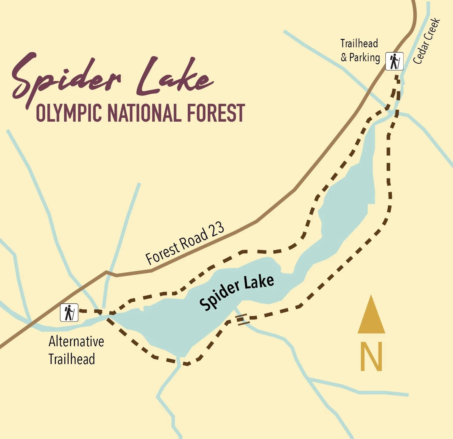
4. spider lake
(Olympic National Forest)
A long slender lake tucked within a narrow valley on the Skokomish–Satsop River divide, Spider is graced with groves of ancient giant old-growth forest. The trail around the lake is a remnant of a longer trail that once traversed miles of primeval trees. Most of those trees have since been logged, and the trail truncated to the lake. The remaining trail has since been restored and the forests on the surrounding hillsides are regenerating nicely.
Highlights: Old-growth forest Distance: 2 mile R/T Difficulty: Easy Elevation gain: 250 feet
Permits: None
Kid and Dog Friendly: Yes

5. Schafer Forest Trail
(Schafer State Park)

Tucked along the East Fork Satsop River in extreme southwestern Mason County, Schafer State Park is off-the-beaten path. While this park is far from population centers, it was a thriving spot for many years. In 1872 the Schafer Family came from Wisconsin to homestead here. Three of their sons, Peter, Albert and Hubert begin logging the homestead in the 1890s. They donated this parcel to the state in 1924, and it continued to host many large company gatherings as well as other groups. Today the park is much quieter, but families still come here to gather. The park’s trails however tend to remain pretty peaceful.
Highlights: Historic homestead; trail along Satsop River; salmon spawning creek and estuary
Distance: 1.3 mile loop Elevation gain: 75 feet
Difficulty: Easy Permits: Discover Pass Kid & Dog Friendly: Yes

This is only a SMALL sampling of the amazing hikes available in the area! Check out the hikes link for a full list of places to explore, visit the waterfalls trail for a comprehensive list of year-round waterfall destinations — or pick up or download a copy of Romano’s Top 25 Hikes!
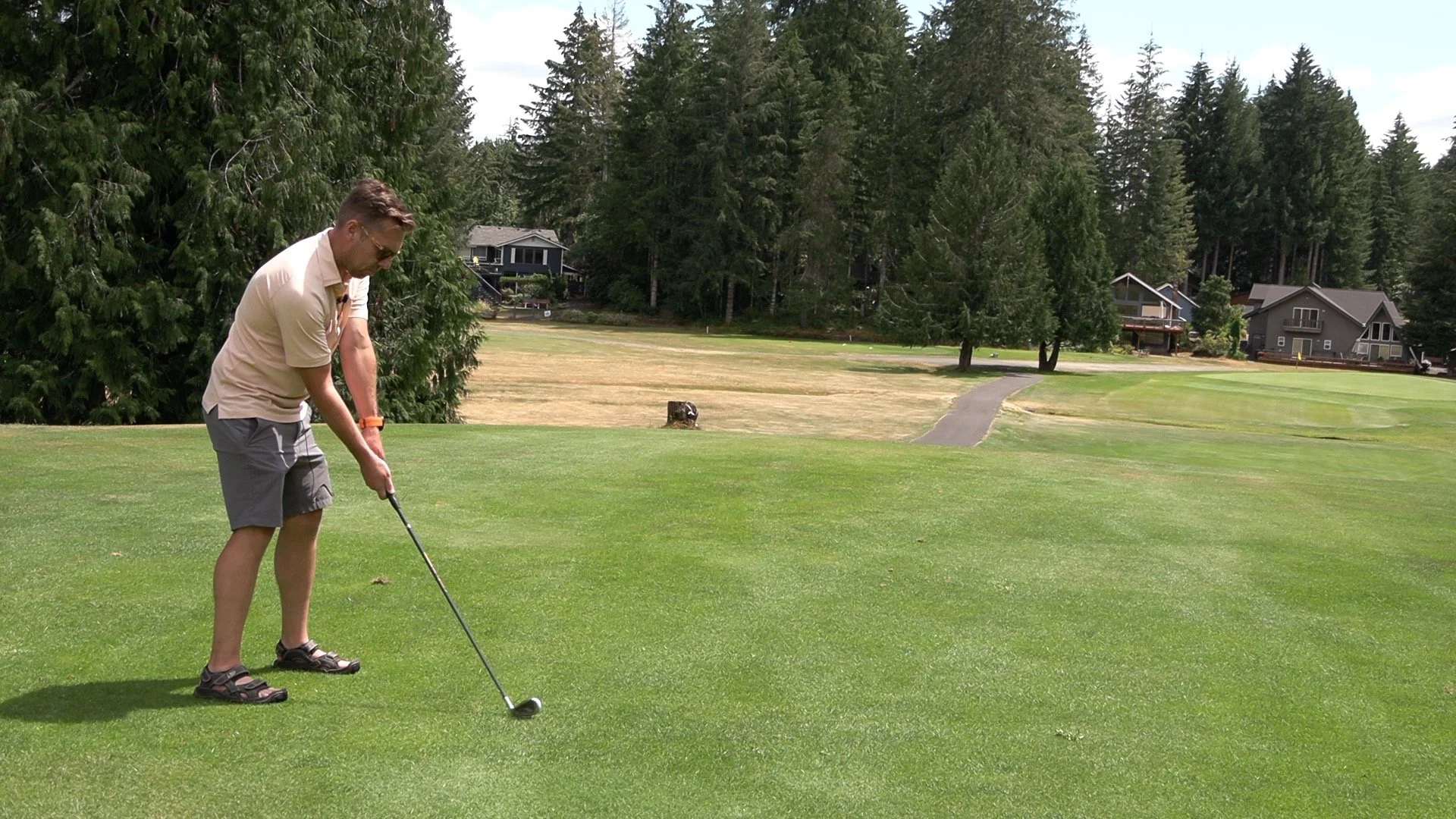
Explore Lake Cushman Golf Course in Hoodsport, WA
Nestled in the foothills of the Olympic National Forest, Lake Cushman boasts a stunning and challenging nine-hole golf course. This beautiful course surprises first-timers with its difficulty, defying expectations of a typical short and easy nine-hole layout. The area also offers a variety of short-term rental options, from RV lots to woodsy cabins and golf course homes. The course is well-maintained, with daily cleanups to ensure it’s in top shape for golfers.
Nestled in the foothills of the Olympic National Forest, Lake Cushman boasts a stunning and challenging nine-hole golf course. This beautiful course surprises first-timers with its difficulty, defying expectations of a typical short and easy nine-hole layout. The area also offers a variety of short-term rental options, from RV lots to woodsy cabins and golf course homes. The course is well-maintained, with daily cleanups to ensure it’s in top shape for golfers.
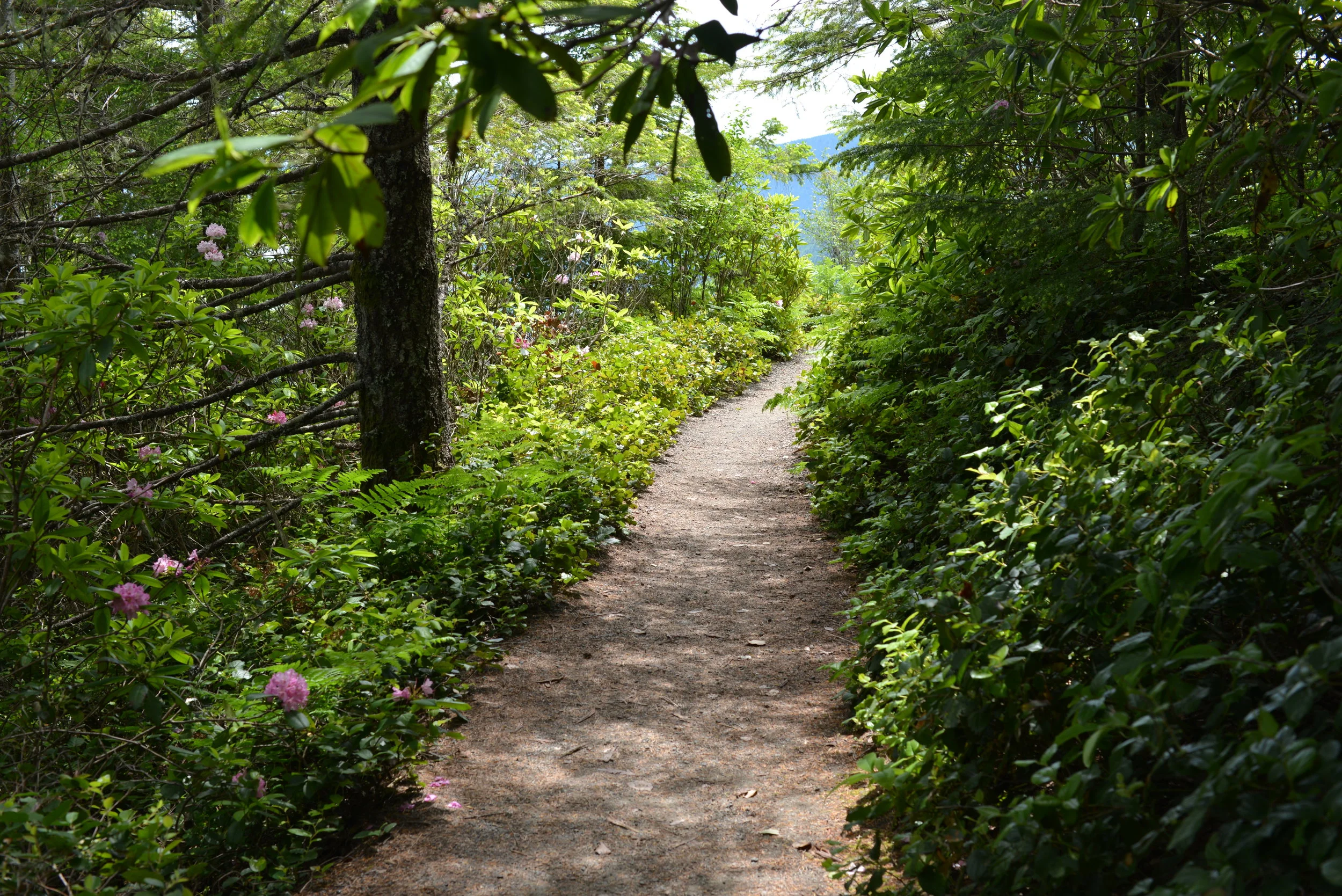
50 Ways to Fill Your Days on Hood Canal
You probably don't need any urging – just enjoying one of the many parks and beaches or watching the wildlife in the water is enough for most visiting Hood Canal. But just in case you need a few ideas that allow for “social distancing” as well – here's a “couple” to inspire you .

You probably don't need any urging – just enjoying one of the many parks and beaches or watching the wildlife in the water is enough for most visiting Hood Canal. But just in case you need a few ideas here's a couple MORE to inspire you – Check out things to do for even more great suggestions.
#1. Hit the Beach
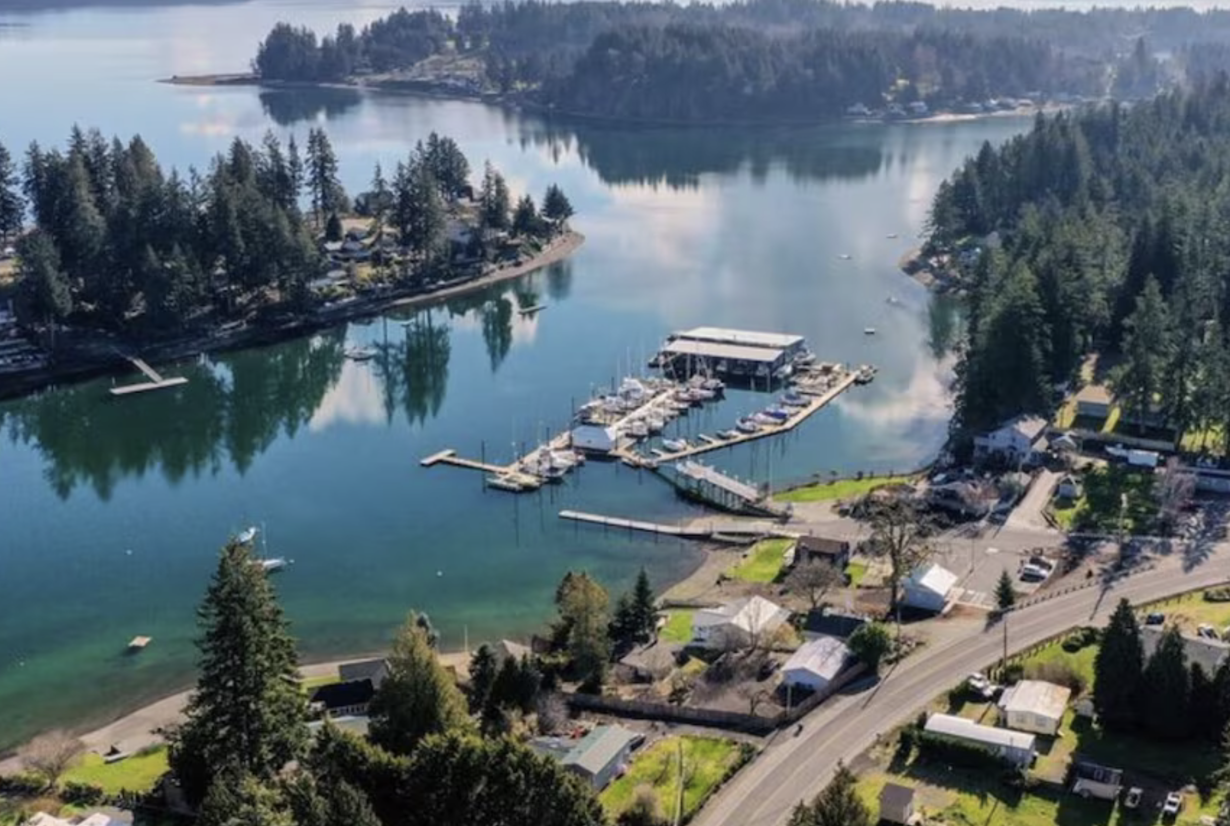
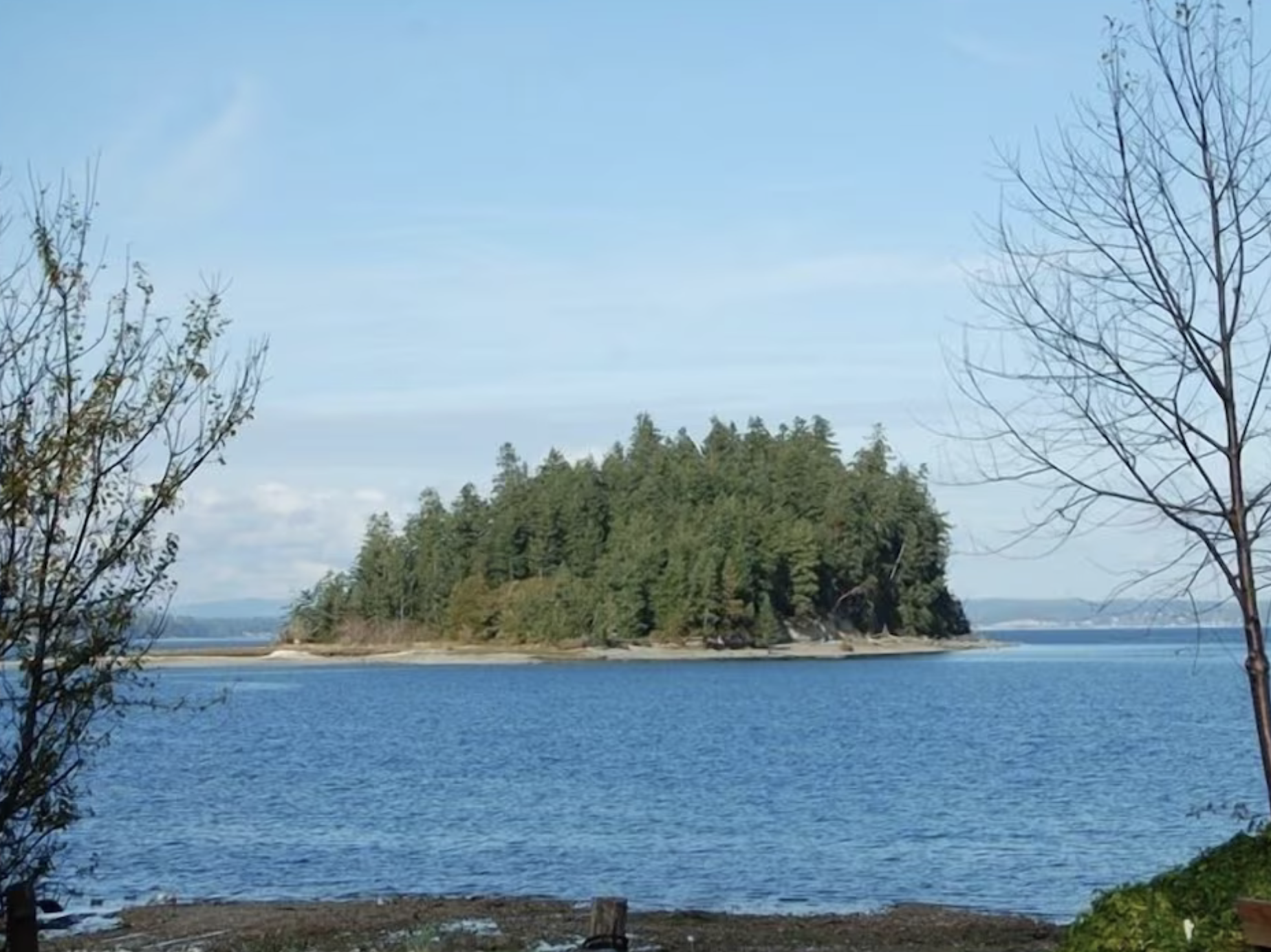
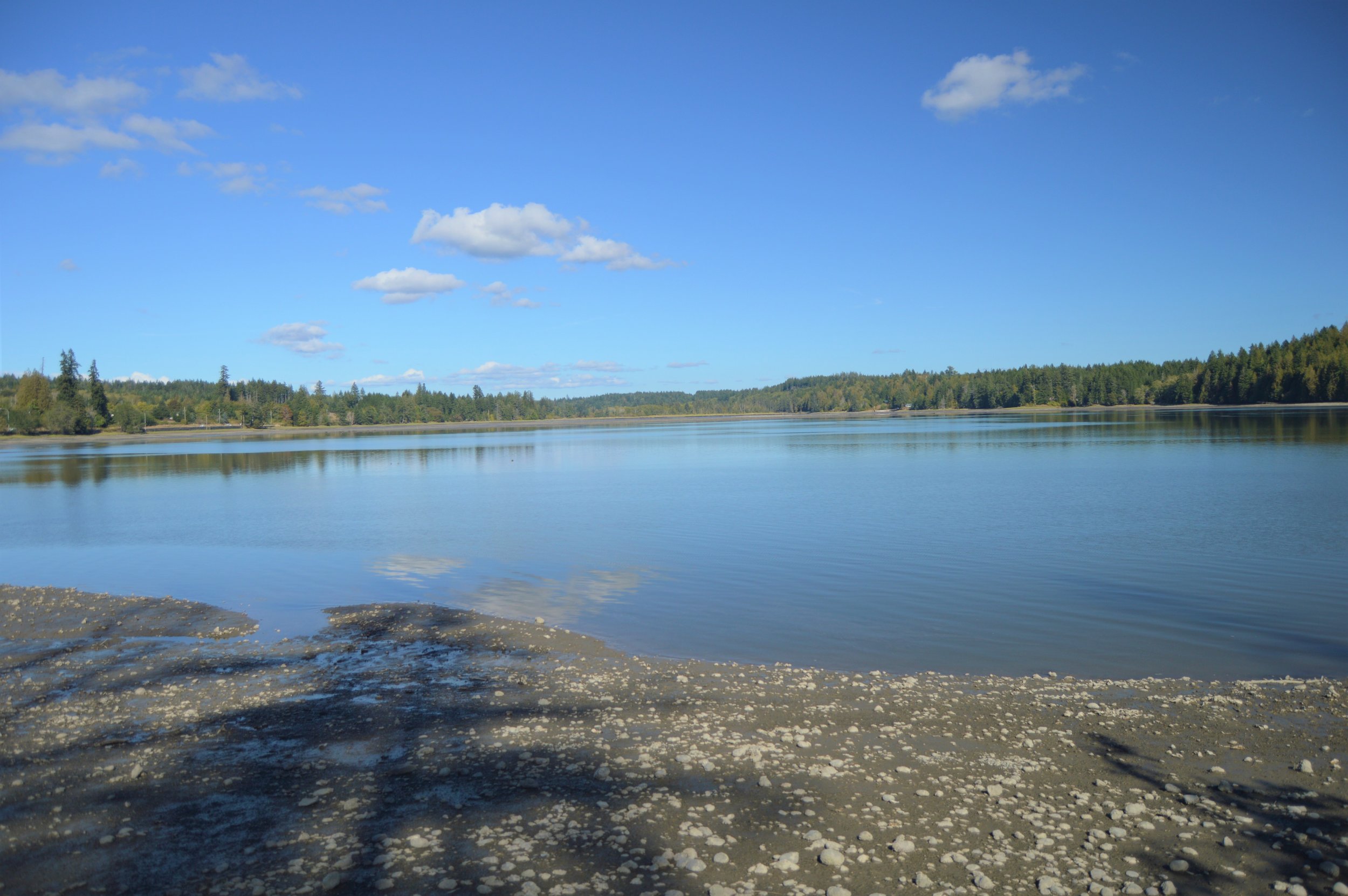
Hood Canal to Hope Island, it’s surprising how many beach access options there are. Pack a picnic, you’ll want to explore a while.
#2. Take a Hike
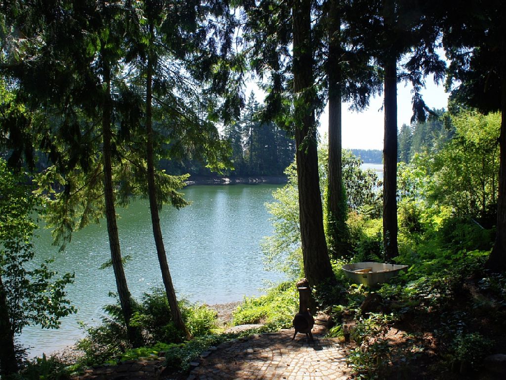
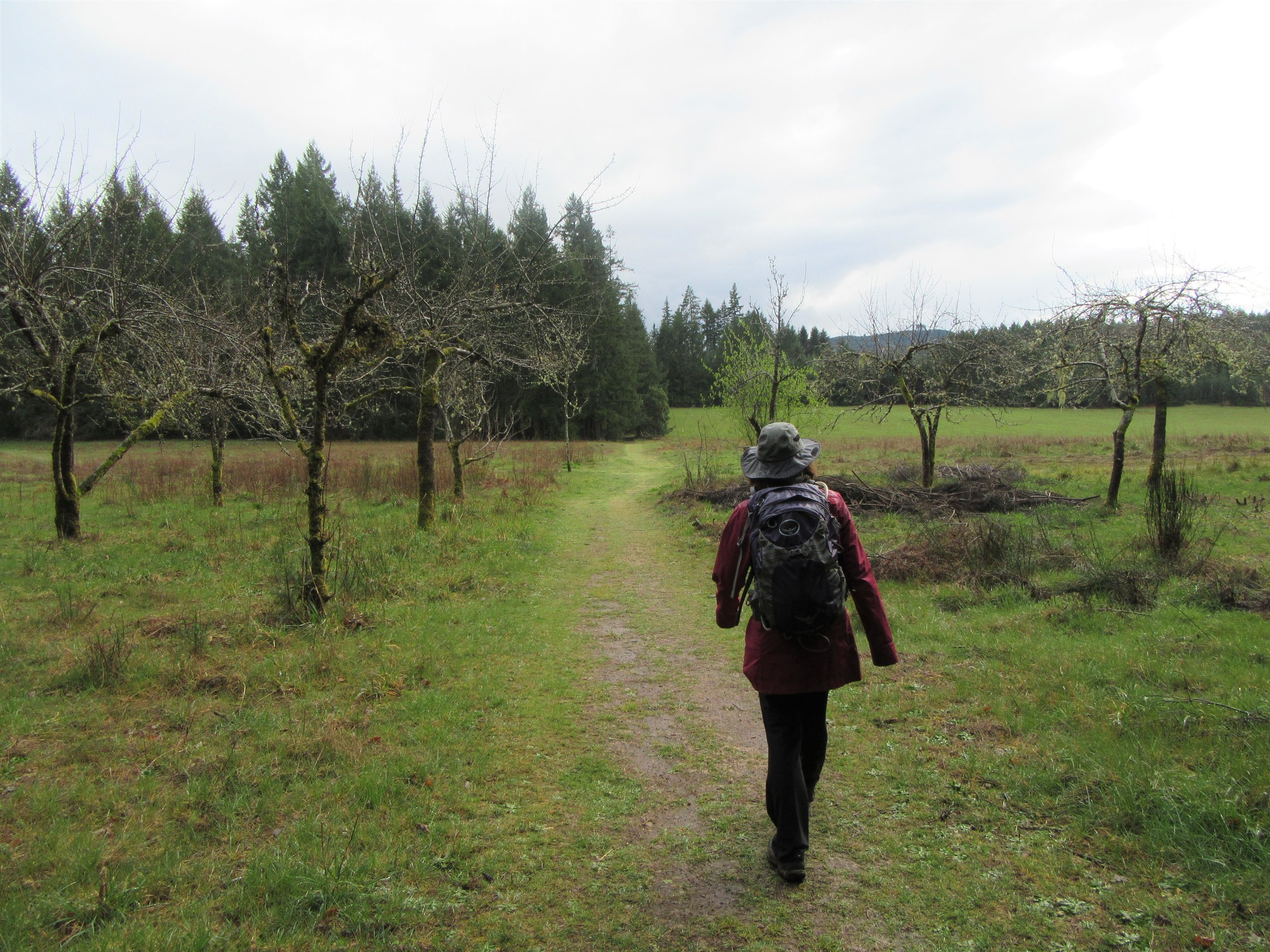
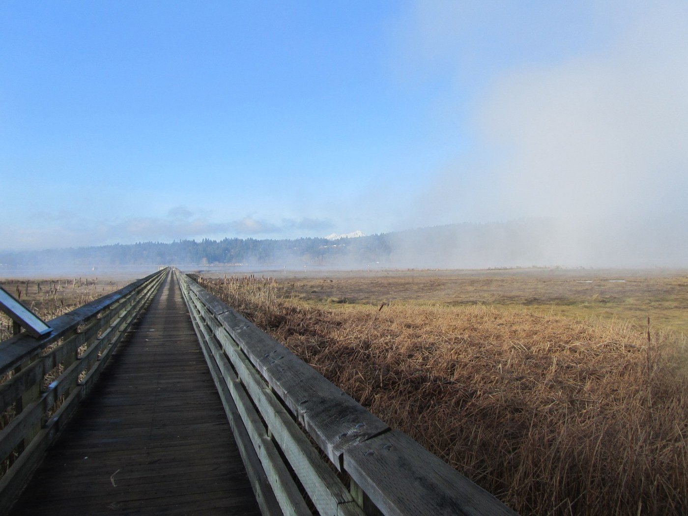
From a quiet city trail behind Shelton, forest walk at Twanoh State Park Trail (2.3 miles EASY) or Theler Wildlife Refuge (3.5 miles) where boardwalks over wetlands reveal flora and fauna. Here’s a list of great hiking spots around the Canal. Need a map? Try this link.
#3. Catch a Drift
Area lakes are stocked with trout and steelhead each Spring. Stop in at Verles for all the tips and tools. Fishing is the universal excuse to relax. Salmon season starts on Hood Canal and South Puget Sound in July and area lakes are stocked with trout and steelhead each Spring. Get your license at these local locations or online.
#4. Dive in the Canal
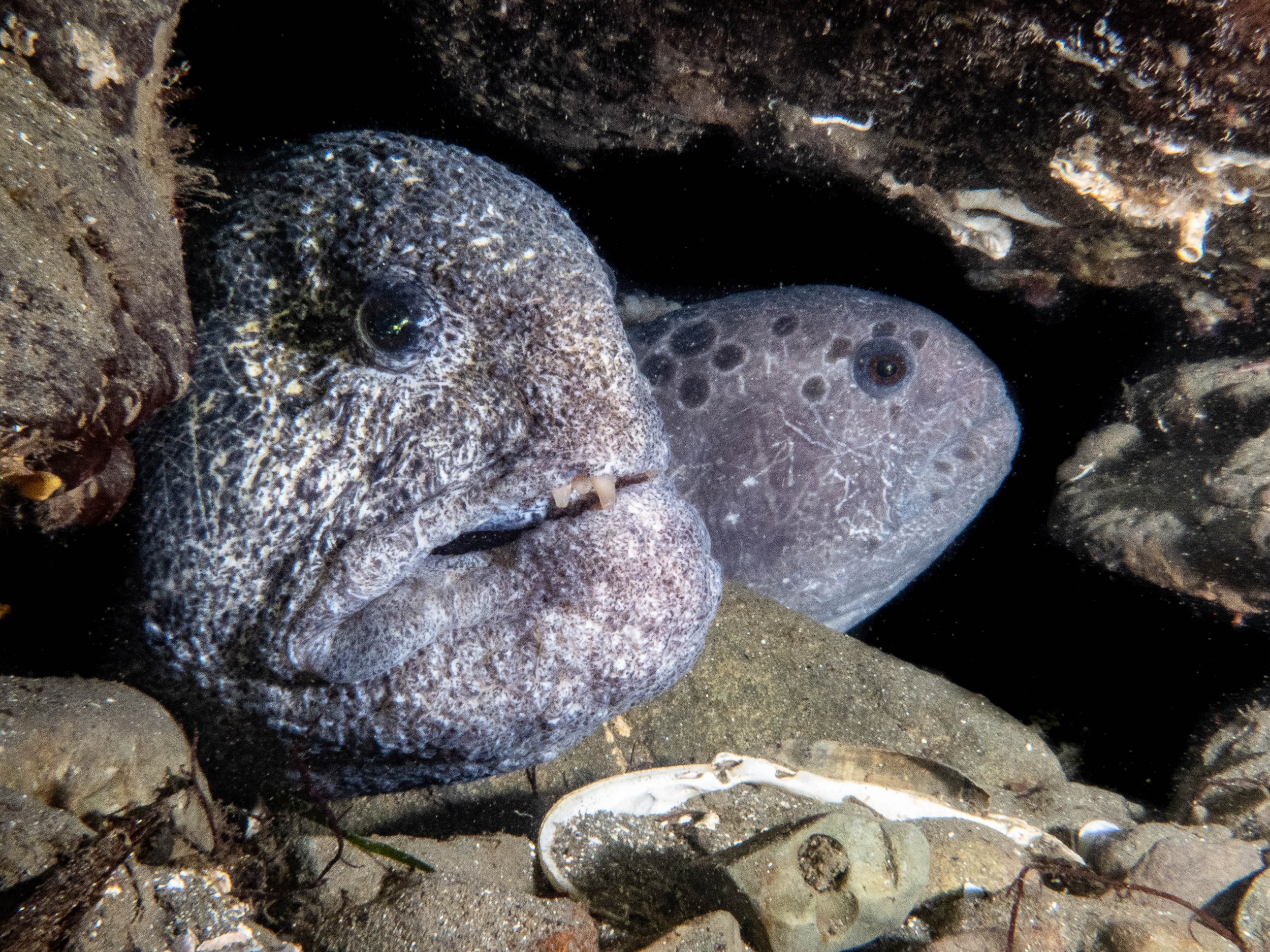
Giant octopi, friendly & curious wolf eels, and swarms of ancient rock cod add to the wonder of scuba adventures in Hood Canal. Scuba lessons, rentals (including air), and charters are available. The newly opened YSS diving in Hoodsport offers a whole series of certifications to "get your feet wet."








#5. Take the Leap
Views of the fjord and the Olympics and a seven minute free fall from 13,000 feet will change your perspective. Tandem flights $185-$215. Call Kapowsin Air Sports (360) 432-8000.

#6. Fly a Kite
Pick an afternoon low tide on Hood Canal and take advantage of the winds. The Port of Shelton (Hwy 101) has plenty of open fields.
#7. Dip your Paddle
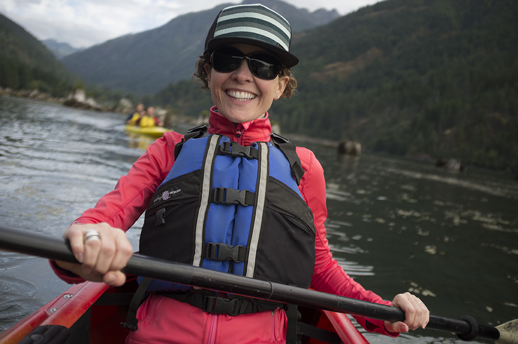
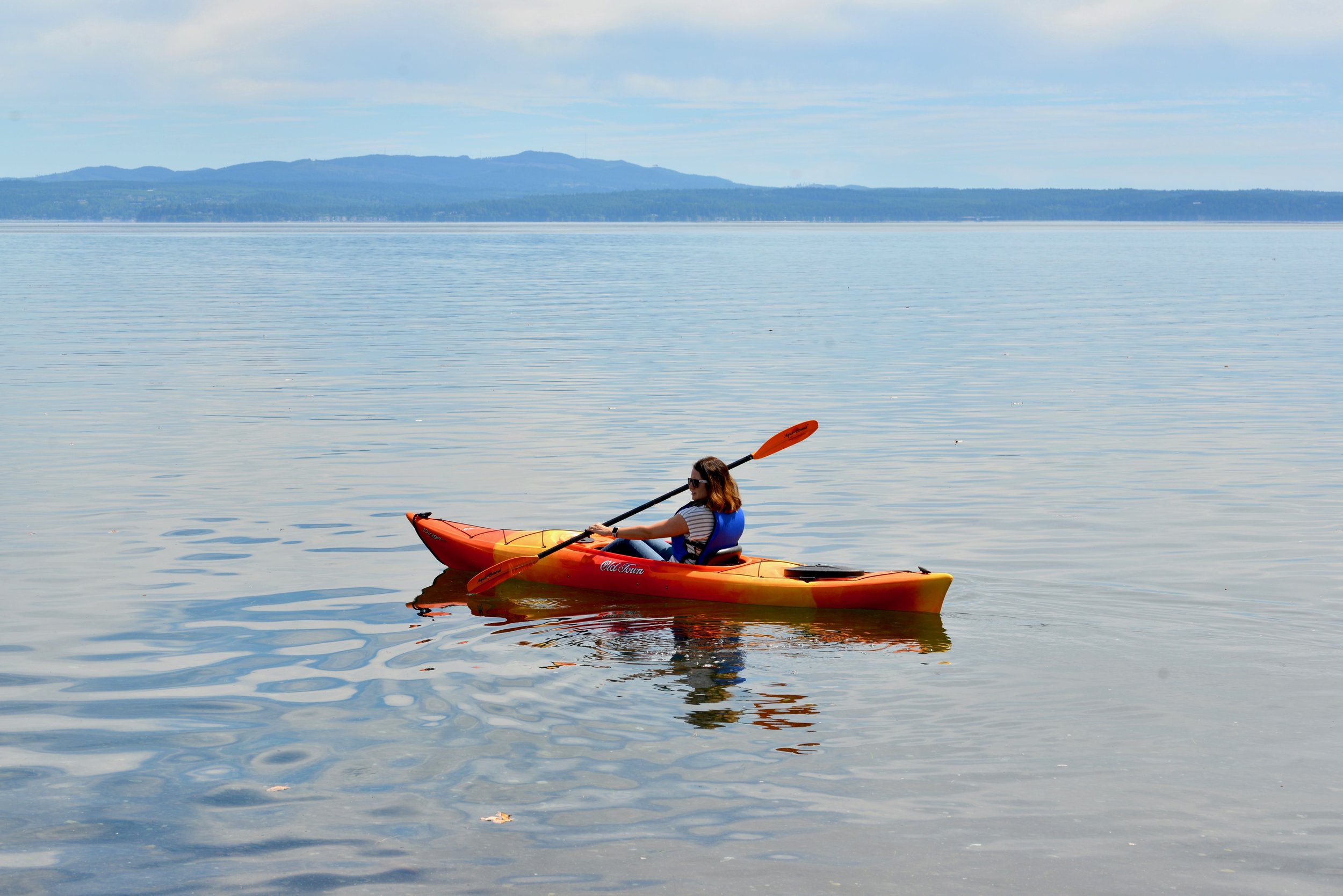
Hood Canal Adventure has kayaks for rent by the hour, day or week, and they'll deliver to your home or rental! and recently Mike’s Beach Resort teamed up with a local kayak company in Lilliwaup — learn more here.
#8. Low tide wonders
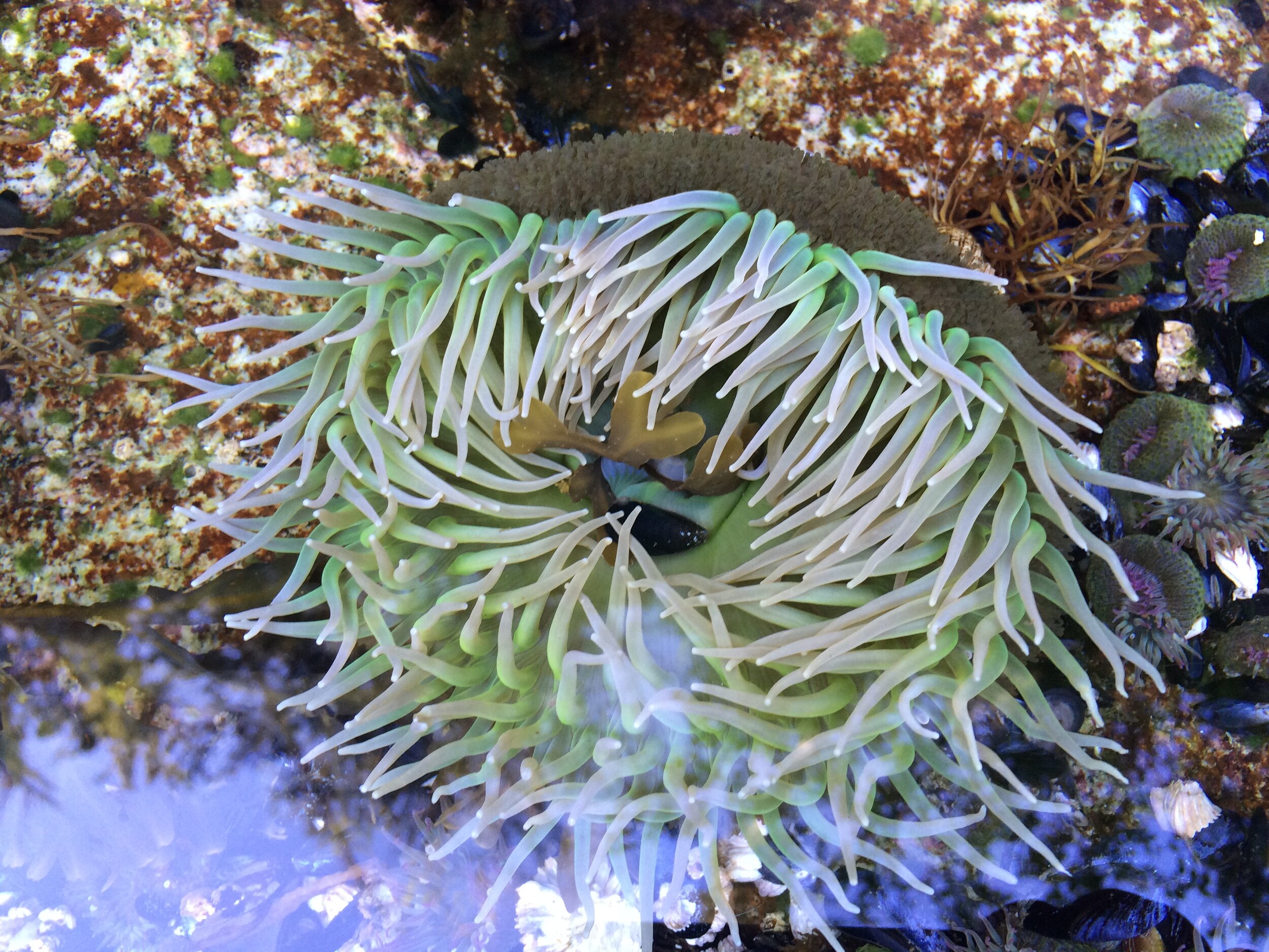
The Canal and South Puget Sound expose amazing creature wonders at low tide. Spring is an especially amazing time to make discoveries – remember to replace your rocks carefully after flipping — that’s someone’s home!
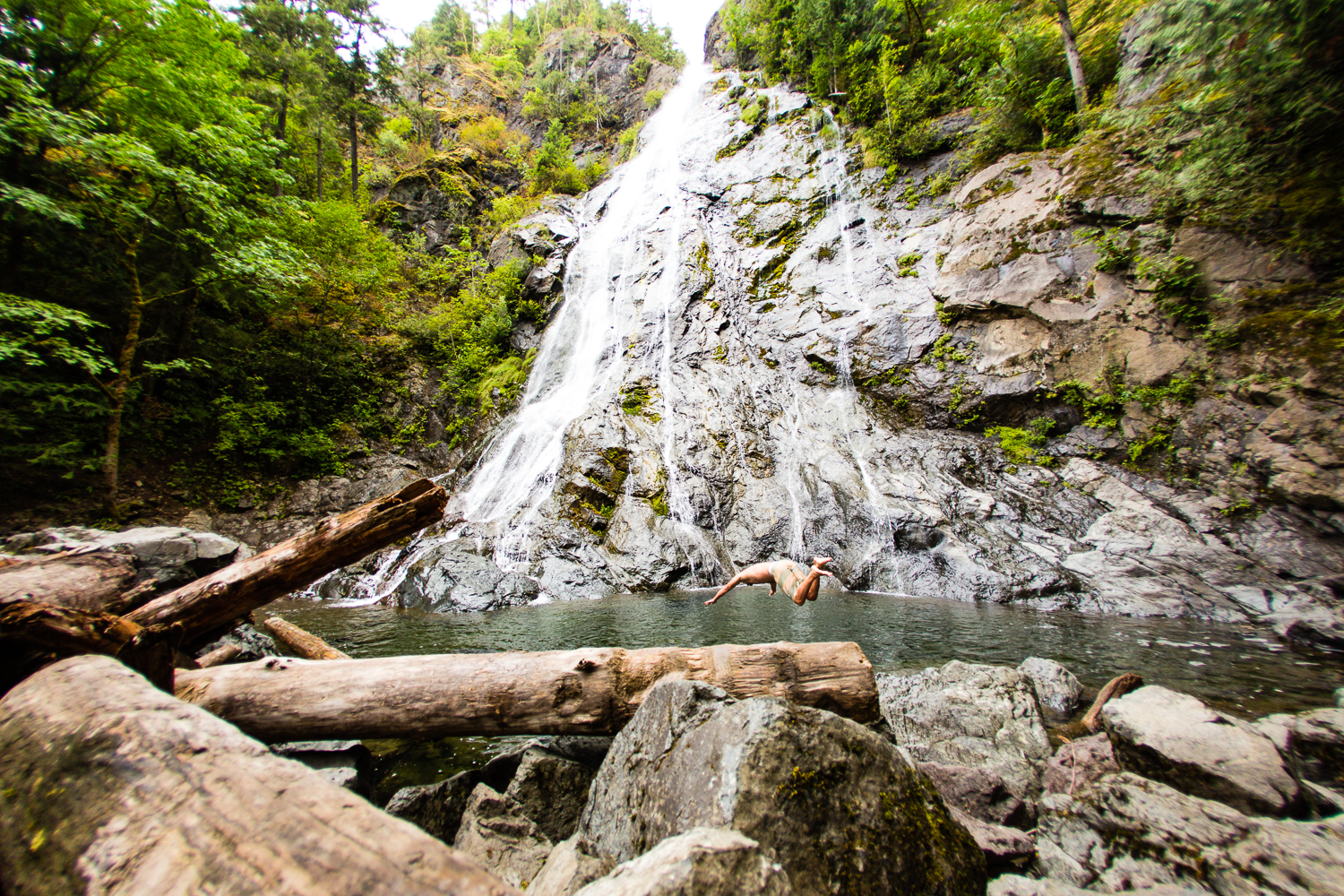
#9. Find a Fall
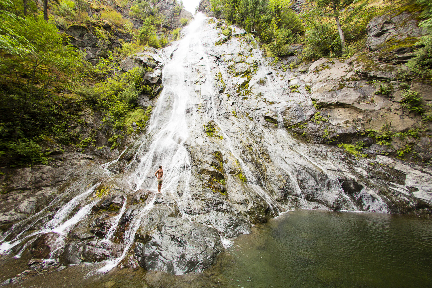
The waterfalls are delightful year round —and it’s fun to swim in the pools in warmer weather. Some waterfalls and rivers can be very dangerous with undertows; be aware of hazards and watch children or inexperienced swimmers.
Our favorites:








#10. Get a new View
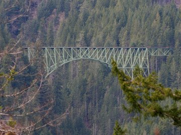
Soaring 420 feet above the Skokomish River, the High Steel Bridge (1929) is the highest steel truss arch in Washington. Follow Skokomish Valley Rd from U.S. 101 to bridge.
#11. Launch a Boat
Take the boat out and explore the islands and passages from Case Inlet on South Puget Sound, Hope Island near Arcadia Point Boat Launch and, of course through all the waterways and the Canal! Check out this list of boat launches and water access under fishing.
#12. Dine waterside
Our restaurants are back to normal with many having dining indoors and other offering take-out or curbside. Try the Hook & Fork at the nion City Market for fresh oysters and a changing seasonal with a GREAT view!
#13. Slurp!
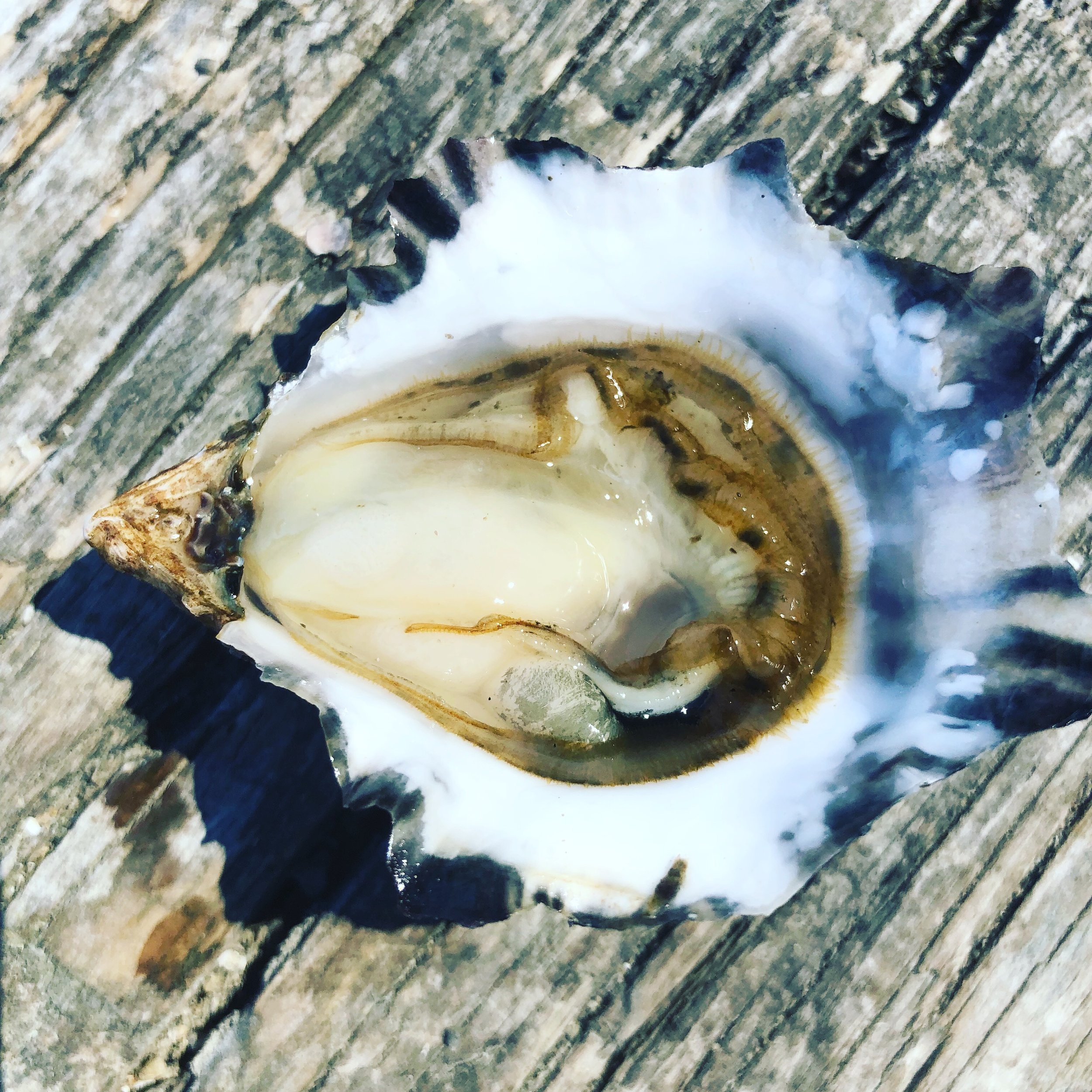
Hama Hama Oyster Co., north of Lilliwaup, is open year round. Eat oysters – raw, baked and grilled, or try the crab cakes! The views alone will excite you.
The Taylor Shellfish retail store, South of Shelton is open daily for clams, oysters, geoduck and mussels – all harvested fresh in local waters!
#14. Pick a Peak
The Olympic National Forest and the Olympic National Park offer great climbing for all skill levels. Up for a challenge? Try the less visited but fulfilling Wagonwheel hike.











#15. Take a Hike
How about checking out the Big Loop Trail around Lake Cushman. Or if you are feeling more adventurous — check out Mildred Lakes.
#16. Run!
The Huff in Puff trail in Shelton is a great place to start but there are lots of beautiful trail run areas too. Consider participating in many of the seasonal runs that are back on the schedule again.
#17. Sip
Stottle Winery and Hoodsport Winery in Hoodsport; Mosquito Fleet Winery in Belfair; and Walter Dacon, Shelton, all have plenty of locally made beverages to go or to sip on site.
#18. Ice cream fix
For the perfect day include a scoop or two of locally made Olympic Mountain Ice Cream. Pick up a pint of Oly Mtn. Ice Cream fix at these Hood Canal & South Puget Sound locations.
#19. Bike the Fjord
Trails in the Olympic National Forest vary from challenging to easy gravel roads. Combine trails and roads to create loops that offer a variety of forests, streams and panoramic vistas.


#20. Ride the Current
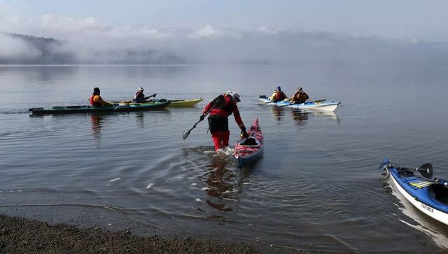
Launch a kayak at the Shelton Marina on outgoing tides and ride currents in Hammersley Inlet to Arcadia Point. Lunch at Hope Island Park and return with the incoming current!
#21. Canal views
From every spot on the road looping Hood Canal you will find inspiring and rejuvenating view of the mountains and maybe even catch a glimpse of a whale or seal.
#22. Shell Creations
Head to a Hood Canal beach for the whitest oyster and clam shells perfect for the guest room soap dish – ask before taking, but most won't mind!
#23. Find a Lake
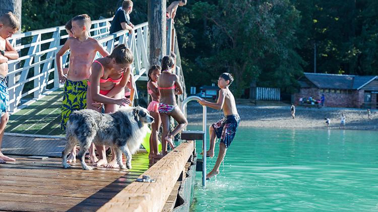
There is no shortage of accessible and open lakes throughout the area. Lake Cushman has plenty of great swimming spots!
#24. Hole in One
From the award winning Salish Cliffs Golf Club in Kamilche, Alderbrook Golf & Yacht Club in Union, Lake Limerick, Lake Cushman Golf Course, and Lake Land Village Golf Course in Allyn – all offer majestic views of the area with plenty of space for everyone. Click here for golfing options.


#25. Ride the Rails
Peddle powered rail rides with Vance Creek Railriders. Opening in May, pedal the rails on the decommissioned Simpson Logging rail line for a 12-mile round trip work out! As you pedal the multi-seat "railrider" along the track you will have the opportunity to see wildlife, old growth and new forests as well as diverse meadows teeming with wild flowers, moss, and ferns.
#26. Motorsports
Navigate 23,000 acres of working forest, Tahuya State Forest, networked by extensive and winding trails,there's has something for every adrenaline junkie.
#27. Forage!
New amongst the many activities offered by Hood Canal Adventures is guided mushroom foraging.
#28. Glamp On
From Canal beach side glamour picnic, or an overnight trip - check out the glamping opportunities around Hood Canal!
#29. Geocache Hunt
Start at Alderbrook Resort and Spa, experience the high-tech treasure hunt as you explore the resort. Check out a clue book and a Garmin Handheld GPS and search for hidden containers leading to prizes!






#30. Read a Book!
Never out of style and great for some social distancing. Here’s a few ideas to get you going!
#31. Take a S'more Break
This should be #1... be sure to remember the chocolate, graham crackers and marshmallows -- wouldn't be the same without the S'mores!
#32. Run with the Salmon
Visit one of the many fish hatcheries on Hood Canal! Visit fws.gov for information on area hatcheries.
#33. Potlatch Brewery for a Pint
New to Hoodsport is the Potlatch Brewery. Visit their tasting room on Hwy 101 in the center of town to relax after a hike. High Steel Brewery in Shelton also has some local beers that are gaining high acclaims!
#34. Take your Dog on a Hike
Check out this list of area hikes where Fido is welcome to tag along.


#35. Gyro on the Canal
Sunset Beach Grocery & Deli near Belfair on SR 106 is claimed as being the best kept secret and great for a quick take out menu item.
#36. For the Birds
The Theler Wetlands, Skokomish Delta, Duckabush, Dosewallips and Hamma Hamma are great places to catch glimpes of our resident and visiting avian community! Check out the local birding spots.
#37. Sleep under the Stars
Around every corner you will find a great place to pitch a tent.
#38. Roast the Beans
Urraco Coffee in Shelton roasts all their beans on site in their quaint and friendly cafe on 7th and Cota. The drive through is quick and friendly. Coffee available by the pound as well. Urraco is also serving coffee at their location on Steamboat Island and in Hoodsport at the Fjord Café.
#39. EAT MORE oysters!
Oysters have high levels of zinc that helps our bodies fight viruses. Catch your own or visit Hama Hama and Taylor Shellfish and the Fjord Oyster Bank to pick up clams as well.


#40. Get a Carve On
Stop in at the Bear in A Box, Allyn for chainsaw artwork by George Kenny and his team. Feeling like a lumberjack? Sign up to learn how to sculpt a squatch with a chainsaw! Get the details here!
#41. Hydro Savvy
Check out the first hydroelectric wheel on the fjord. Dalby Waterwheel is located on SR 106 between Cameo Boutique and Alderbrook Resort.
#42. Chuck a disc!
The Shelton Springs Disc Golf Course in Shelton just recently recieved top ratings. Visit masoncountydiscgolfassociation for details on all the local courses.
#43. Pizza Attack
In Shelton call Dominos or Westide Pizza on First Street or head up the Railroad Taproom on Railroad Ave for some authentic Italian flavors and a huge selection of brews on tap. All offer take out and you can call head to get your order prepared ahead of time.
#44. Squatch Watch
With over 22 sightings in Mason County alone - chances of catching a glimpse get higher each year. Keep your eyes peeled and your camera ready for that money shot! Learn more
#45. Visit Tollie
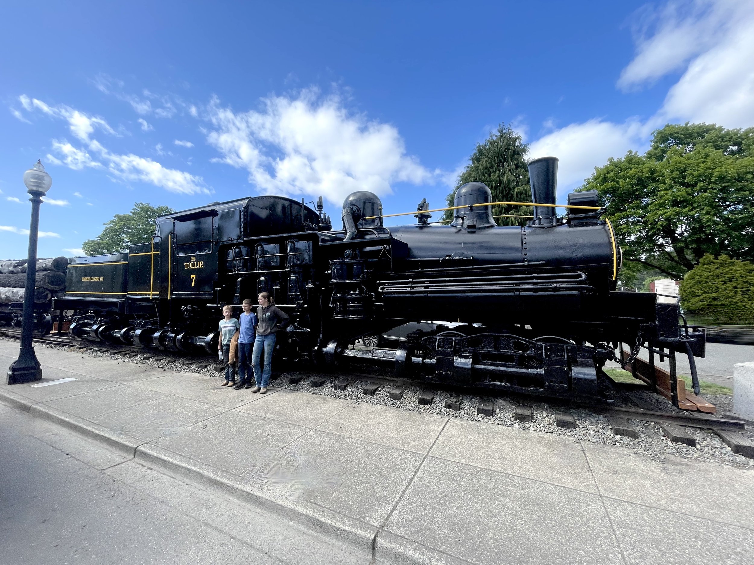
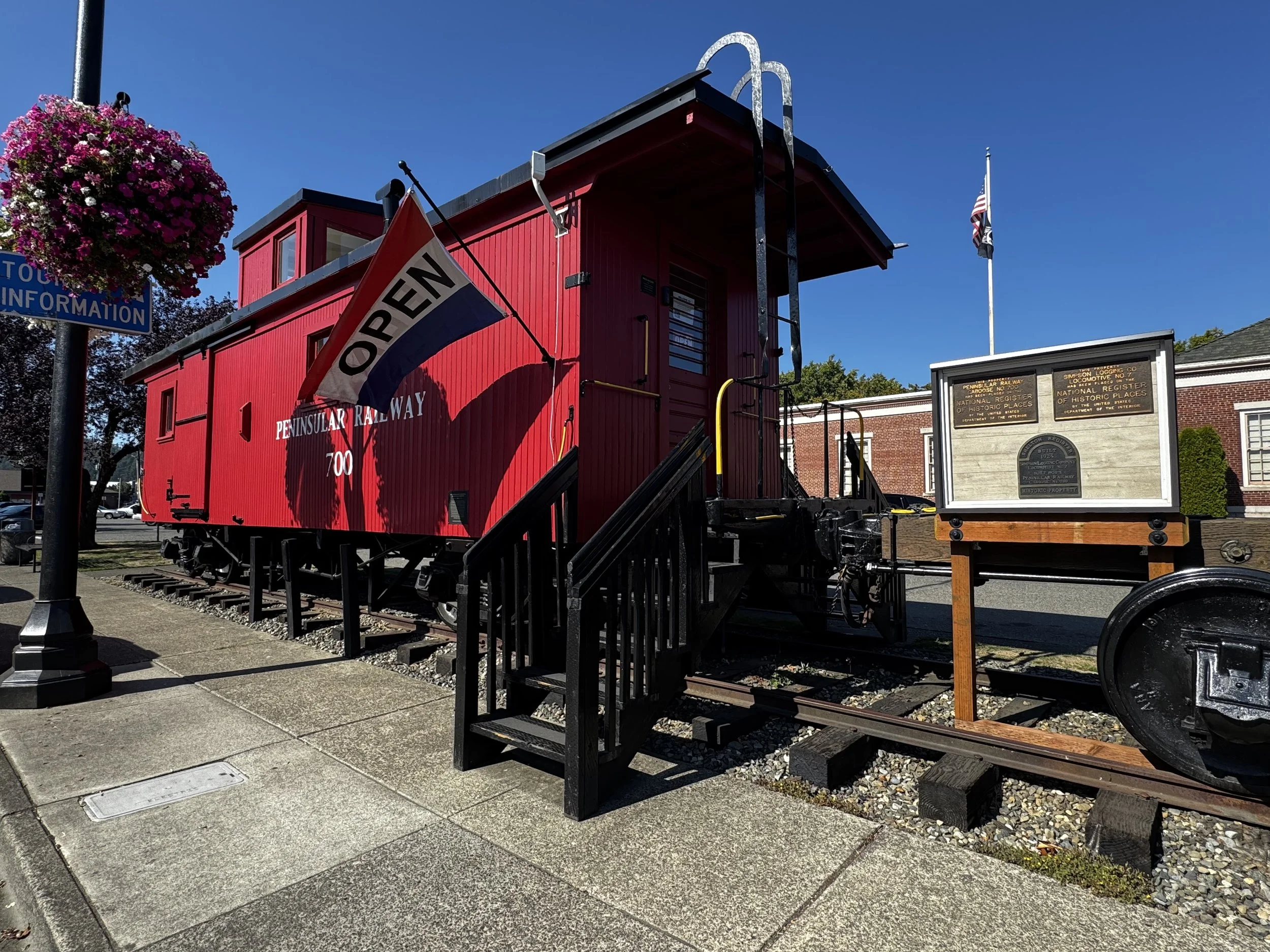
The Shelton Visitor Center is in at this historic timber train. It was recently restored by volunteers so stop by the unmanned Caboose for area maps and be sure to get your picture with Tollie the engine. A historic logging locomotive (1924) operated in Mason County for Simpson Logging. Designed by Ephraim Shay, the locomotive negotiated heavy grades and curves. Tollie is joined by Caboose No.700, a 1920s log car.
#46. What's 'Sup?
A great way to explore the canal.
#47. Experience the Fjord Spirit
Using water from the Olympics, The Hardware Distillery, Hoodsport, offers spirits in an ambient tasting room and if you want to swing by quick to pick up some great spirits — they will prepare your order in advance and meet you curbside.
#48. Watch for Whales
Each year Hood Canal and South Puget Sound enjoy visits from orcas and grays. Follow their arrivals on the orcanetwork online.
#49. Beach Walk
Gather up the family and the buckets and head to the low tide for a giant aquarium that beats any confined exhibit. You’ll et wet and muddy but will walk with memories to last a lifetime!
#50. JUST R-E-L-A-X!
We have some of the cleanest air and water in the country, friendly people and gorgeous scenery everywhere.

Silver Lake Hike
The Olympic National Forest’s Buckhorn Wilderness contains more than 44,000 acres of some of the finest backcountry on the Olympic Peninsula. Within this rugged corner of the Olympic Mountains you can hike on miles of trails traversing deep valleys of old-growth forests and along high windswept ridges granting stunning views.
Craig Romano | Story and Pictures
The Olympic National Forest’s Buckhorn Wilderness contains more than 44,000 acres of some of the finest backcountry on the Olympic Peninsula. Within this rugged corner of the Olympic Mountains you can hike on miles of trails traversing deep valleys of old-growth forests and along high windswept ridges granting stunning views.
Hit the Trail
Located within the Olympic rain-shadow, the Buckhorn receives ample sunshine and consists of a much drier landscape than points south and west. Lakes are rare in this wilderness. Silver Lake is one of the few gracing the region. It provides an oasis for wildlife and serves as an excellent destination for hikers.
There are two ways to reach Silver Lake. The shorter route is via Silver Creek. This route was never officially built, involving instead from a well-trodden user built boot path. It’s rugged in spots and to reach it involves a long rough dirt road from the north. The official trail starts high on the southern shoulder of Mount Townsend. It involves more effort to hike due to its length and elevation gain—but it’s well-built and highly scenic. And the approach to it is by a primarily good paved road.
Nearby Mount Townsend—one of the most popular hiking destinations in the Olympics keeps most hikers away from these trails, leaving Silver Lake a much quieter destination. In early season wildflowers give an added bonus to the official route—but lingering snow can make it tricky.

"Fall is the perfect time to visit Silver Lake with the added bonus that its resident biting insects have gone the way of the early blossoms."
Start your hike from the upper trailhead for the Mount Townsend Trail. Follow this well-worn & popular path through stately groves of firs and hemlocks adorned with Pacific rhododendrons. In late May and early June, the rhodies add an array of dazzling colors to the surrounding verdant cloak. The trail steadily climbs. Shortly after entering the Buckhorn Wilderness, the forest cover thins and views east emerge. Cross several cascading creeks and continue working your way upward. The trail switchbacks more than two dozen times.
The way crests a small knoll arriving at Camp Windy, which usually lives up to its name. Look below to tiny Windy Lake, not much more than a buggy pool most of the year. Then continue climbing coming to a junction at 3.0 miles.

Here most hikers will continue right to ascend the open summit of Mount Townsend. You want to head left on the trail less traveled. Your climbing isn’t yet over however. Muster up a little more energy and reach a small gap on a high ridge separating Mount Townsend from the Welch Peaks. Take a break and look back east for a great view of Windy and Sink Lakes directly below. Then face west and enjoy a sweeping view of the Silver Creek valley. Silver Lake however is not visible. It’s hidden behind a small wooded knob to the south.
Now resume hiking crossing a steep slope that comes alive with blossom in the summer. Via a couple of long switchbacks the way descends more than 600' into the valley. Be sure to save some energy for the return hike, as you’ll need to regain that elevation. At 4.6 miles reach a junction in the forested valley. Here the Silver Lake Way Trail descends northwest following alongside Silver Creek. Continue straight, soon coming to Silver Creek.
Hop across the creek and start climbing again following the creek to its source.

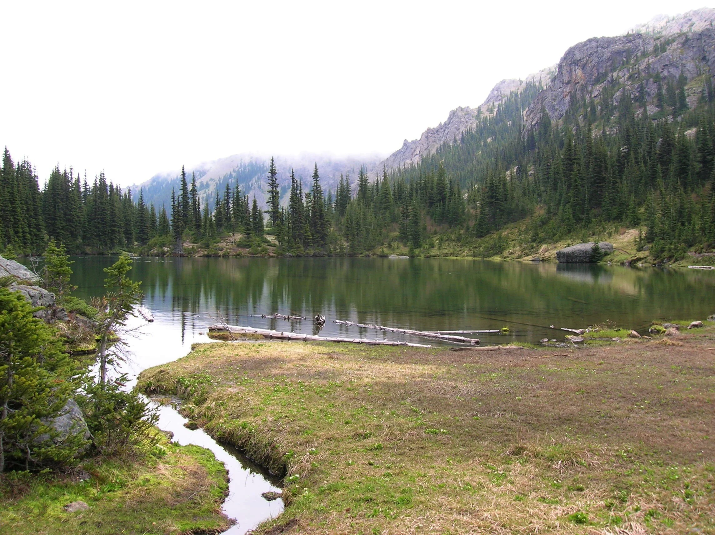
At 5.4 miles reach Silver Lake in a semi-open bowl flanked by craggy peaks and ridges. It’s a tranquil spot where soft breezes often leave rippling signatures on the lake’s surface; and the raucous calls of Clarks nutcrackers (more common east of the Cascade Crest) often break the silence.
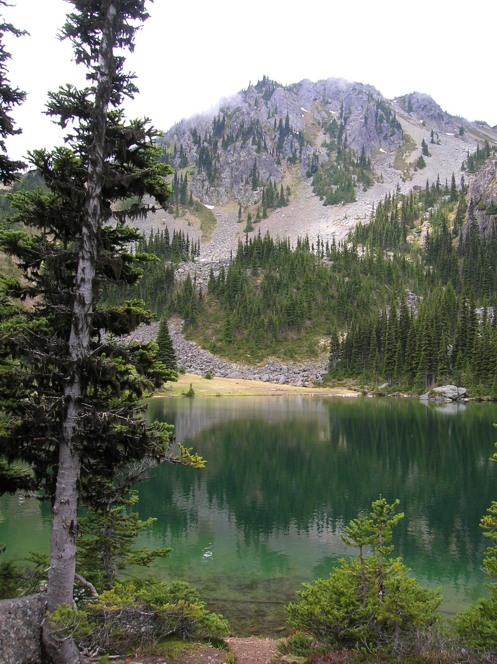
Find a shoreline rock and stay for a while. However, if you have some energy left, a steep half mile path to the south may entice you to follow it. It leads to a gap on a ridge high above the Big Quilcene River where you can stand mouth agape staring out at hulking Mount Constance towering over craggy ridges and deep emerald valleys.

Craig Romano is an author of more than 20 hiking guidebooks including the bestselling Day Hiking Olympic Peninsula 2nd Edition (Mountaineers Books), which includes descriptions for 136 hikes throughout the Olympic Peninsula. He is a regular contributor to Explore Hood Canal. Also check out his list of 25 Olympic Peninsula waterfalls at waterfalltrail.org.
Silver Lakes Notes
Distance: 10.8 miles round-trip
Elevation Gain: 3275 feet (High Point: 5675 feet)
Difficulty Loop: difficult
Snow free: mid-June to early November
Trailhead Pass Needed: Northwest Forest Pass or Interagency Pass
GPS waypoints:
Trailhead: N47 51.385, W123 02.153,
Silver Lake: N47 50.686 W123 04.247NW Forest pass required; Wilderness rules
Land Agency Contact: Olympic National Forest, Hood Canal Ranger District, Quilcene, (360) 765-2200; fs.usda.gov/olympic
Recommended Map:
Green Trails Olympic Mountains East 168SRecommended Guidebooks: Day Hiking Olympic Peninsula 2nd edition (Romano, Mountaineers Books)
Trailhead directions: From Quilcene drive US 101 south for 1.5 miles and turn right onto Penny Creek Road. After 1.5 miles bear left onto Big Quilcene River Road (Forest Road 27); which eventually becomes paved. Continue on FR 27 for 13.7 miles and turn left onto FR 27-190 reaching the trailhead in 0.7 mile.
Tips for safe and healthy hiking during the Covid-19 Pandemic
We all must do what we can to prohibit the continual spread of this disease. We can do that by adhering to the following while we enjoy our trails:
• Avoid crowded hiking destinations. If you arrive and the parking lot is already full, head to another location
• Opt for weekdays over weekends to hit the trail
• Hit the trail early morning before others arrive
• Avoid hiking in large groups outside of family
• Practice Social Distancing while on the trail, giving other hikers room to pass and keeping your distance from them at lakes and summits.
• Wear a mask when encountering others on the trail. A buff or bandanna works well.
• Pack hand sanitizer
• Pack it in pack it out
• Don’t be a surface pooper. Poop properly in the woods by always using privies first if available-or by heading at least 200 feet away from all trails, campsites and water sources and digging a cat hole for your business. Bury waste and TP.
• Pack out all pet waste.

Big Loop Creek Hike - for all seasons and abilities
Guidebook writer, Craig Romano, takes us on an illustrated journey around Ellinor. Churning Big Creek and its tributaries will charm you with their frothy displays and soothe you with their flowing melodies.
Craig Romano is an author of more than twenty hiking guidebooks including the bestselling Day Hiking Olympic Peninsula 2nd Edition (Mountaineers Books), which includes detailed descriptions for 136 hikes throughout the Olympic Peninsula. He is a featured columnist for the Fjord and Explore Hood Canal.
Jeff and his mom hiked the Big Creek Trail loop in mid August — check out their review of this hike marked moderate.
“Poets need not go to Niagara to write about the force of falling water,” wrote Robert Frost. Indeed. Amble along this circuitous route within the shadows of Mount Ellinor and see the forces of water all around you. Be continuously captivated by cascading creeks. Churning Big Creek and its tributaries will charm you with their frothy displays and soothe you with their flowing melodies.
Big Creek Loop
Distance: 4.2 miles roundtrip Elevation Gain: 850 feet High Point: 1850 feet Difficulty Loop: moderate Snow free: year round Trailhead Pass Needed: Northwest Forest Pass or Interagency Pass GPS waypoints: Trailhead: N47 29.599, W123 12.66 Features: cascading creeks, attractive bridges, rhododendrons, snow-free winter hike; kid and dog friendly,

photo: Craig Romano
Hit the Trail
The 4.2 mile Big Creek Loop doesn’t go to a lake, high point, significant landmark or through groves of primeval forest. It just goes around the Big Creek basin crossing that banally named waterway and a handful of its tributaries. This hike is all about the journey—not the destination. The trail winds along forested slopes above Lake Cushman crossing tumbling creeks on a series of beautifully-constructed bridges.
" This hike is all about the journey—not the destination."
A couple of side trails branch off of the main loop to hidden cascades crashing among jumbled boulders. Hike this trail without an agenda—just set your mind free—and pause frequently to admire the show. Generally snow-free in the winter and with easy accessibility, Big Creek can be hiked year round.
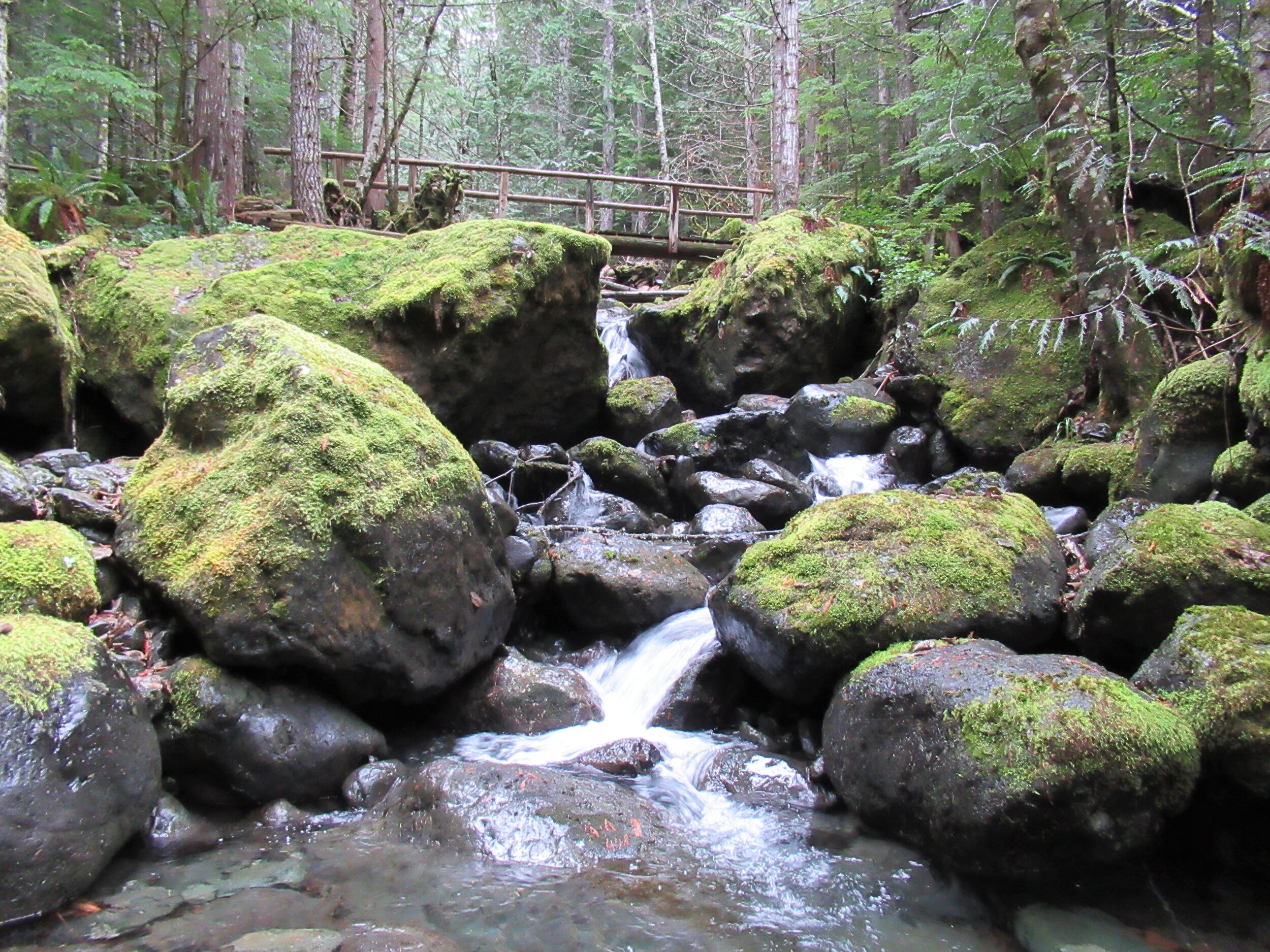
photo: Craig Romano
While it makes for a nice walk on a hot summer day with its shaded glens offering respite from midday rays—autumn through spring are best. Forested all the way, and always within earshot of tumbling water, the Big Creek Trail makes an excellent rainy day hike. Try to plan it after a period of prolonged rainfall for intense water shows that roar through the forest.

photo: Craig Romano
Utilizing old logging roads and newer tread, the all-volunteer Mount Rose Trail Crew built this delightful loop twenty year ago. “We have existed since 1985,” states Mount Rose Trail crewmember John Jurgens. The crew began as a group of Shelton area climbers who grew concerned over the increasing popularity of the old Mount Ellinor Trail. The old trail contained a section known as the “Chute” which was a hazardous rock and snow-filled gully. With the Forest Service’s blessing the crew constructed a new trail bypassing the chute allowing hikers a much safer passage on this popular trail.
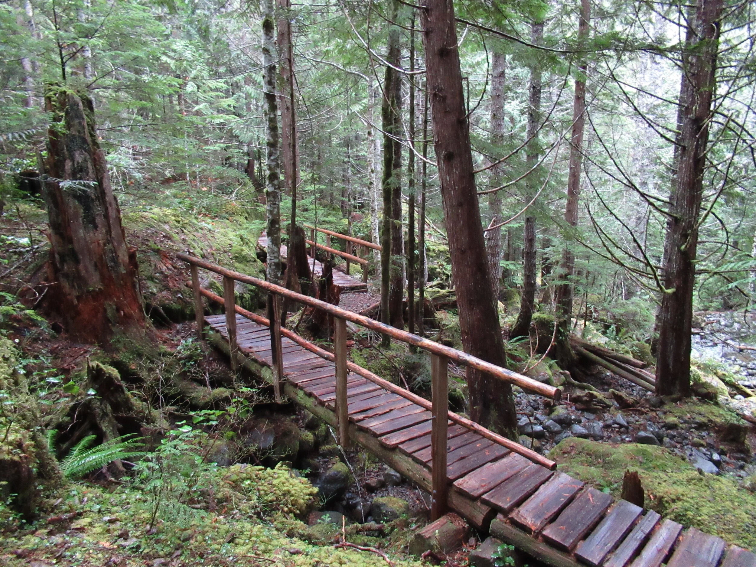
photo: Craig Romano
The crew took their name however from nearby Mount Rose. They worked on re-establishing the upper Mt Rose Trail when snow cover on Mount Ellinor didn’t permit them to work there.
From an original group of about 5, the crew now boast a half dozen members who hail from around the Hood Canal Region. They currently maintain 16 trails in the Olympic National Forest. The Big Creek Loop showcases their topnotch bridge building skills. Robust and built to last as Jurgens puts it, I find the bridges works of art that fit in well with their surrounding natural environment.
"The bridges for many hikers are the highlights of this hike. And children will find them especially appealing."
The trail starts from the recently rebuilt and expanded Big Creek Campground. Here follow what is officially called the Upper Big Creek Loop Trail. Most folks however just refer to it as the Big Creek Loop. The recommended direction is clockwise to take advantage of a gentler descent that will be easier on the knees. The trail immediately crosses Big Creek on a sturdy bridge—one of two provided by contractors and not the trail crew whom built bridges on site with area materials. You’ll immediately recognize the craftsmanship upon reaching them.

photo: Craig Romano
The trail briefly heads down stream along the creek before making a U-turn to begin ascending above it. Signed features and resting benches grace the way. After about a mile the grade gets steeper. Catch glimpses through gaps in the forest canopy of Mount Washington hovering above. At 1.8 miles you’ll come to a junction. You can take an interesting short side trip here on the Creek Confluence Trail which drops to the confluence of Big and Branch Creeks before looping back to the main trail. Here you’ll find good lunch rocks among the two tumbling waterways.
The Big Creek Loop continues straight coming to a junction with the Mount Ellinor Connector Trail just before reaching Branch Creek. The Connector Trail leads left 1.4 miles to the Mount Ellinor Trail and allows for a long and challenging ascent of that popular peak. If you’ve got some energy head one mile up it to a good viewpoint overlooking Lake Cushman,

photo: Craig Romano
The loop continues straight crossing Branch Creek on a good bridge. Just beyond it reaches Big Creek above a gorgeous cascade. Here a new well-constructed bridge spans the tumbling waterway.
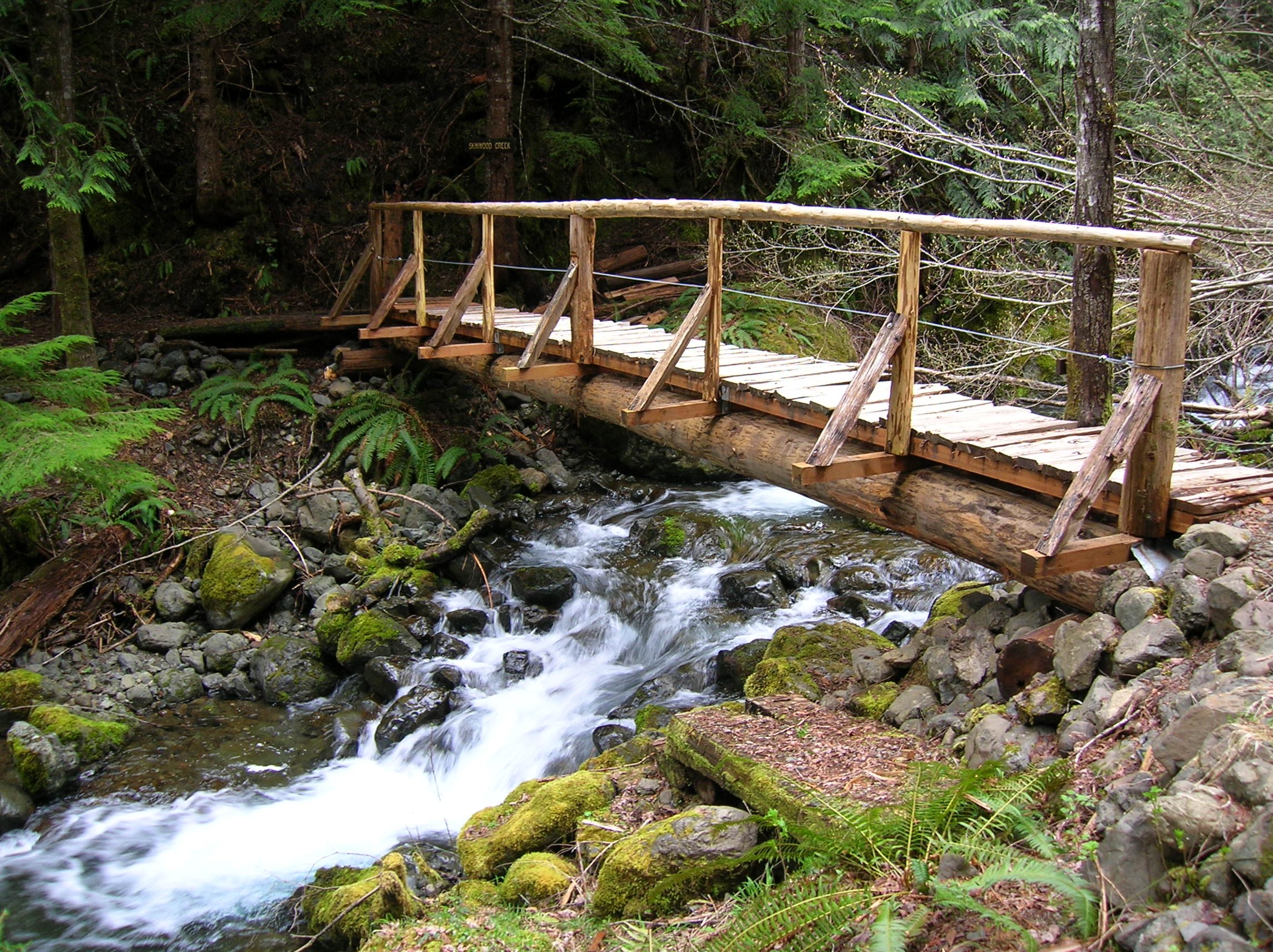
The loop now begins descending, skirting some big mossy boulders and passing good views of roaring Big Creek. A short side trail—once part of the Creek Confluence Trail drops back down to where Big and Branch Creeks meet. The main trail now follows an old road, coming to bridged crossings of scenic Skinwood and No Name Creeks. Continue descending passing a few giant firs that loggers forgot. Notice the forest change here. The west half of the loop was dominated by hemlocks—while the eastern half is made up more of Douglas-firs and lodgepole pines. The understory is different too—cloaked here in salal.
Be sure to look up through the trees for a glimpse of Mount Ellinor rising above the watershed. At 4.0 miles come to a junction with the Campground Loop Trail which loops around the campground for 0.8 mile if you want to extend your hike. Otherwise continue right a short distance to return to the trailhead.
Notes:
Land Agency Contact: Olympic National Forest, Hood Canal Ranger District, Quilcene, (360) 765-2200; fs.usda.gov/olympic
Recommended Map: Green Trails Olympic Mountains East 168S
Guidebooks: Day Hiking Olympic Peninsula 2nd edition (Romano, Mountaineers Books)
Trailhead directions: From Shelton, travel north on US 101 for 15 miles to Hoodsport. Turn left onto SR 119, and proceed 9.3 miles west to a T intersection with FR 24. Turn left and then immediately turn right into the Big Creek Campground continuing a short distance to the Day Use Area and trailhead. When campground is closed, park at gate, but do not block it.
Trailhead facilities: privy, picnic area, campground, water.
Dogs welcome but must be leashed.
Tunnel Creek Trail Hike
Olympic National Forest’s Tunnel Creek Trail lies just a few miles south of the popular Big Quilcene Trail. But unlike the Big Quil which leads to Marmot Pass, a high windswept wildflower-rich gap providing sweeping views—the Tunnel Creek trail travels mainly beneath a thick canopy of primeval forest.
Craig Romano | author
Olympic National Forest’s Tunnel Creek Trail lies just a few miles south of the popular Big Quilcene Trail. But unlike the Big Quil which leads to Marmot Pass, a high windswept wildflower-rich gap providing sweeping views—the Tunnel Creek trail travels mainly beneath a thick canopy of primeval forest. Lacking the wow factor of Marmot Pass, Tunnel Creek gets passed over by many a hiker. However, those who take to this trail less taken soon discover; Tunnel Creek offers plenty of delightful spots and some pretty decent views as well. And all without the crowds of Marmot Pass.
Hit the Trail

The Tunnel Creek Trail immediately enters the 44,258-acre Buckhorn Wilderness, the largest roadless area in Olympic National Forest. Much of the wilderness lies within the Olympic rain shadow encompassing some of the driest mountainous terrain in the Olympics. But here at the wilderness’s southern reaches, precipitation increases. And it’s noticeable immediately upon starting up the trail. The surroundings are verdant—draped in mosses and lichens. The trees are grand. And the valley is alive with the sound of cascading water.
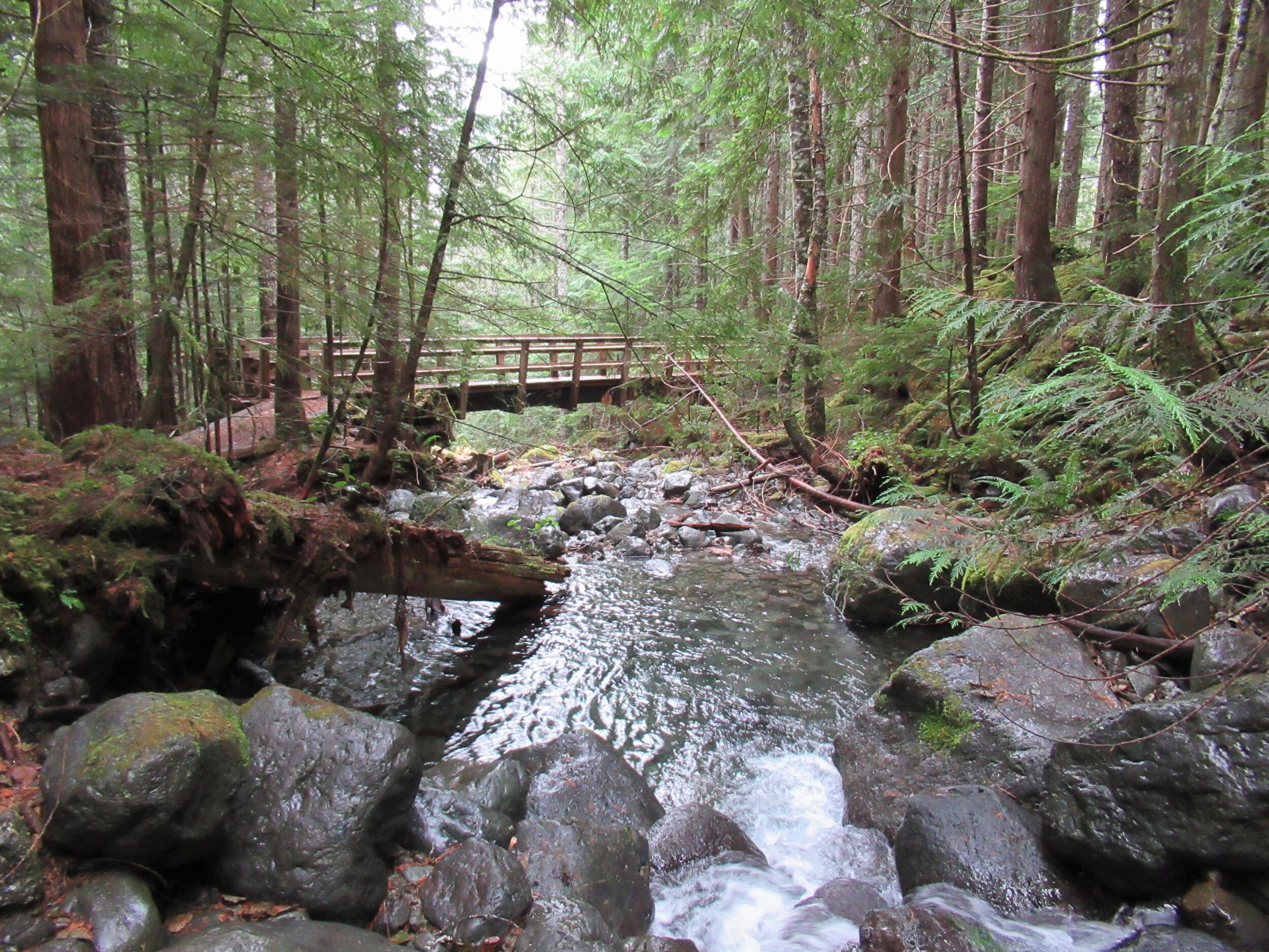
Work your way up a tight valley following alongside tumbling South Fork Tunnel Creek through a tunnel of towering old-growth western hemlocks and Douglas-fir. The hike is magical, almost ethereal on a misty morning. And it’s welcoming on a sweltering summer day, as the ancient trees do an excellent job of regulating the temperature, providing some much appreciated air-conditioning.
After 3.3 miles and gaining a modest 1500 feet of elevation, reach the still intact Tunnel Creek Shelter. A remnant from when this trail was much longer (before logging and roads obliterated much of it). In the early days of Olympic National Forest and Olympic National Park there were more than 90 trailside shelters in the Olympics. Many were developed through the guidance of Frederick William Cleator, who became one of the nascent US Forest Service’s first recreational specialists. Along with calling for trails, shelters, and fire lookouts, Cleator also advocated for a large portion of the Olympics to be left as wilderness, free from any developments.
The early shelters were meant to help administer the forest by providing rangers, trail workers and foresters a place to overnight while traversing the vast wild lands of the Olympics. But they were also welcomed by the few backpackers who plodded into the Olympic backcountry at the time. Through the years many of the shelters succumbed to fire, collapse and disrepair. And as recreational use increased and attitudes changed regarding land management, many hikers and land managers began to question the role of these structures in the wilderness. Under new directives many of the shelters were allowed to fall in disuse or were intentionally dismantled.
Many recreationists however continued to argue for the need of these shelters to provide emergency cover for backcountry users caught in severe weather. Many other recreationists including this author have argued to maintain the remaining shelters now numbering only around 20 as historically significant and preserve them as historic structures.
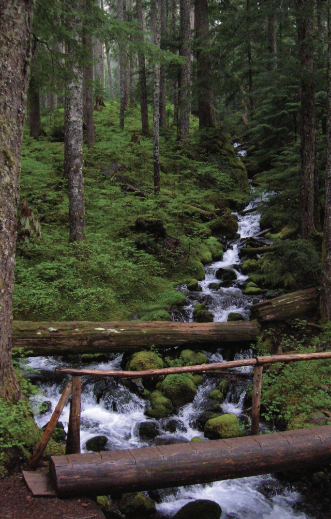
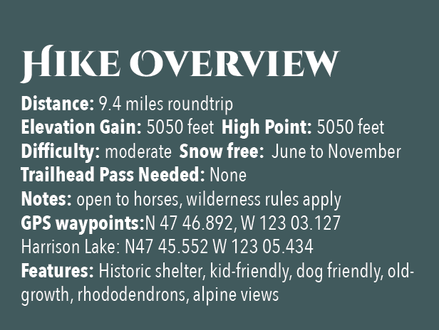
The Tunnel Creek Shelter is one of the last remaining in Olympic National Forest. Perhaps use it for a lunch break. Reflect on its long history and the role it has played providing refuge to many a wanderer on a cold and wet day. And help protect it from misuse. Beyond the shelter, the trail crosses via a log bridge the South Fork of Tunnel Creek and then gets down to business. They way now steadily and steeply climbs out of the valley ascending a thickly forested ridge. Eventually reach a small saddle in the ridge harboring two small bodies of water. The first is a small grassy pond known as Karnes Lake. Just beyond and a little higher up at 4.3 miles from the trailhead and at an elevation of 4300 feet is the more appealing Harrison Lake.
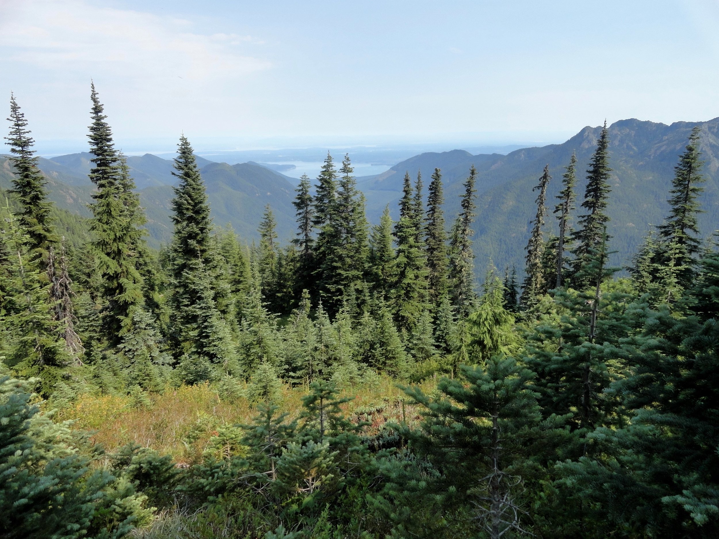
You don’t want to call it quits yet however. Conjure up a little more energy and continue hiking, ascending through open forest and over ledge coming to the 5050-foot ridge crest at 4.7 miles. Now take in an exceptional view of 7,743-foot (third highest peak in the Olympics) Mount Constance’s impressive sheer vertical east face.
You can scramble along the rocky ridge a little higher to better appreciate Constance’s towering presence, less than two miles away to the northwest.
For most hikers this is the turning around spot. But the trail continues from here making an insanely steep drop of more than 4300 feet in 3.6 miles to the Dosewallips River Road. It’s brushy in spots and easy to lose along the ridge. Otherwise it’s in decent shape down steep slopes and through old growth and past a small waterfall at Gamm Creek.
f you can arrange a car shuttle consider hiking out this route. There are some good views down to the Dosewallips River valley and out to Hood Canal during the initial descent if you want to just wander a little way down the trail. Otherwise start heading back to the cool forests of South Fork Tunnel Creek on the much more agreeable trail back to your start.
The details
Land Agency Contact: Olympic National Forest, Hood Canal Ranger District, Quilcene, (360) 765-2200,fs.usda.gov/olympic
Recommended Guidebook: Day Hiking Olympic Peninsula 2nd edition (Romano, Mountaineers Books)
Trailhead directions: From Shelton follow US 101 north for 50.5 miles. (From Quilcene, drive US 101 south for 1.5 miles). Turn left (west) onto Penny Creek Rd. After 1.5 miles bear left onto Big Quilcene River Rd (Forest Rd 27); which eventually becomes paved. At 3.0 miles bear left onto graveled FR 2740 and follow for 6.9 miles
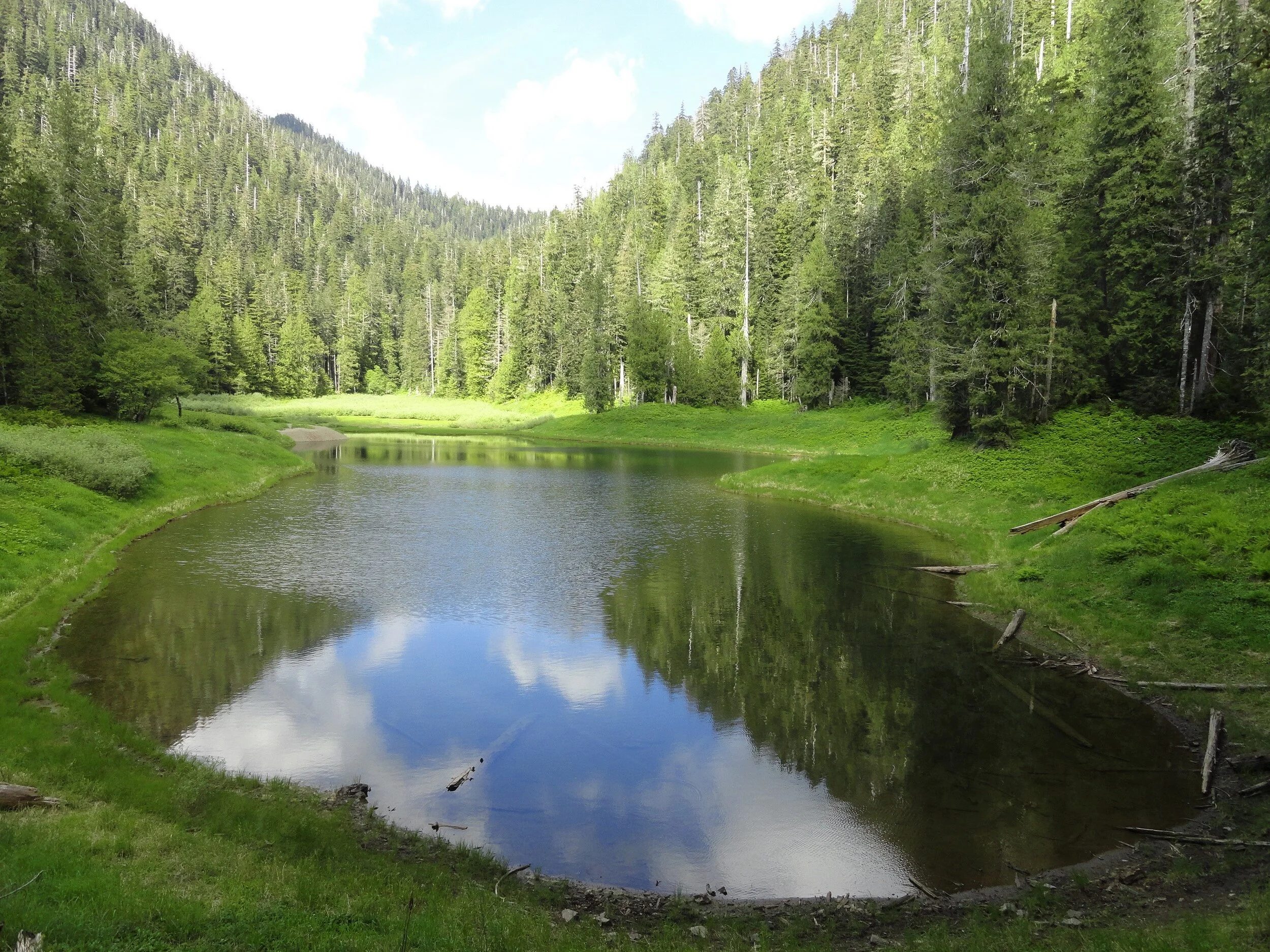
Satsop Lakes via Church Creek
This moderately difficult dog friendly trail offers magnificent old-growth forest, a wildlife rich backcountry lake, and fantastic opportunities for solitude.
Craig Romano | story & pictures
Named not for a house of worship but after Frederic Church, a member of Colonel O’Neil’s 1890 Exploratory Trip across the Olympics; never-the-less this trail is sure to touch your soul. The path winds through an ancient forest of towering cathedral trees where gaps in the lofty canopy shine beams of ethereal sunlight upon the forest floor. And while the forest is heavenly, the way is rough in spots and involves some decent climbing. But your toil will be redeemed upon reaching the Satsop Lakes in a tranquil verdant basin that teems with wildlife.
Features: Dog friendly, magnificent old-growth forest, wildlife rich backcountry lake, and fantastic opportunity for solitude.

Craig Romano photo
Hit the Trail
Like many trails in the southern flanks of the Olympic National Forest, the Church Creek Trail was once much longer than its current 3.5 mile length. It once extended all the way from the South Fork of the Skokomish River to the Wynoochie River. But the Forest Service accelerated logging in this region after World War II with little regard to preserving many of the historic and scenic trails that traversed this lugged landscape.
By the 1990s however due to pressure from conservationists, and concerned citizens and elected officials, the Forest Service shifted its timber harvesting management objectives to protect old-growth forests. Tens of thousands of acres of the primeval forest that shrouded the rugged valleys and mountains of the southern flanks of the Olympic Mountains however had been cut down. But fortunately large pockets still remained including along that 3.5 mile stretch of the Church Creek Trail. But due to budget cuts, the Forest Service abandoned the trail in the early 1990s.
In 2005 the Church Creek Trail was resurrected thanks to the Olympia Mountaineers. They adopted it; restoring it to a top-notch trail. The trail makes for an excellent alternative to the busier trails in the North Fork Skokomish River Valley. And while the Satsop Lakes make for a lovely destination, it’s the forest along this hike that is the prime attraction.
Towering Douglas-firs reaching dizzying heights and wide-girth cedars and hemlocks hundreds of years old line the trail from end to end.

From an unimposing trailhead, start hiking immediately entering a cathedral forest of buttressed cedars and spires of firs. | Craig Romano photo
From an unimposing trailhead, start hiking immediately entering a cathedral forest of buttressed cedars and spires of firs. Cascading Church Creek, audible but not visible, adds a soothing aria to this sanctuary. The creek and a nearby peak were named in honor of Frederic Church of the 1890 O’Neil Expedition. Lieutenant O’Neil and his men explored large portions of the Olympic interior from east to west.
Along his three month cross Peninsula trek he sent out smaller parties to explore and map watersheds. Church was among these explorers.

Lieutenant Joseph P. O'Neil (1862-1938), Courtesy Robert B. Hitchman
The O’Neil Expedition’s findings were invaluable. They mapped, explored and collected specimens from at the time was one of the last major mountain ranges in the Continental United States that had not been explored by Non-native peoples. One of O’Neil’s most important revelations was summed up in his report to the 54th US Congress. He wrote, "I would state that while the country on the outer slope of these mountains is valuable, the interior is useless for all practical purposes. It would, however, serve admirably for a national park. There are numerous elk—that noble animal so fast disappearing from this country—that should be protected.” O’Neil’s recommendations would later lead to the establishment of Olympic National Park.
The trail winds and climbs under a lofty canopy supported by gigantic beams. Hopefully your attention will be diverted upward by staring at these amazing old-growth giants; helping to take your mind off of the stiff climb. The way utilizes a series of switchbacks and comes close to Church Creek on several occasions. But the plummeting waterway remains hidden in a deep lush ravine.
The forest understory is thick and verdant and also commands your attention. In early summer, fawn lilies, calypso orchids, and marsh marigolds add additional colors to this emerald world. Return later in August to harvest some sweet rewards in the form of succulent huckleberries.
The trail crosses several small creeks and after about 1.5 miles it reaches a decommissioned road. This entire basin was once slated for the mills. The forest now remains as it did when O’Neil’s group passed by more than 130 years ago. Turn right and follow the old road bed for about 500 feet before picking up the trail again. Then through a more open forest continue climbing, reaching the 3,150 foot divide between the South Fork Skokomish and Satsop Rivers within another half mile. A humongous hemlock with two pistol-butted limbs stands sentry at the divide.
Now continue hiking through a forest of silver fir, and begin rapidly descending. Pass a pretty cascade fanning into a steep ravine. Giant cedars and Doug-firs are once again encountered as the trail levels out. In 3.2 miles and after losing 1,000 feet of elevation emerge in a grassy opening housing the largest of the five Satsop Lakes. Locate a gravel outwash area which provides for an excellent resting spot. Keep your eyes on the lake for trout and surfacing rough skinned newts. The lake is home to thousands of the latter. Look too along the forest’s edges for bigger critters.

Craig Romano photo
Roam around the lake and notice there is no outlet. Water seeps to the Satsop River via a cavernous basalt basin. Four other lakes are hidden in the surrounding forest if you feel inclined to find them. But while the distance to reach them may not be great, the terrain can be challenging. The trail continues for another .3 mile through more groves of giant trees ending at Forest Road 2372. Yes, you can reach the lakes via a much shorter hike if they are your sole intent. But you’d miss most of the grand forest. But now you get to traverse it one more time as you make the journey back to your vehicle.
Trails notes:
Land Agency Contact: Olympic National Forest, Hood Canal Ranger District, Quilcene, fs.usda.gov/olympic
Distance: 6.4 miles roundtrip
Elevation Gain: 2,350 feet
High Point: 3,150 feet
Difficulty: moderately difficult
Snow free: June--Oct
Trailhead Pass Needed: None
Notes: FR 2361 is gated and closed from October 1 to April 30 to protect wildlife. You can walk or bike the road (adding 11.2 miles roundtrip) during this time to reach the trailhead.
GPS waypoints: Trailhead: N 47 26.928 W 123 29.437; Satsop Lakes N 47 25.818 W 123 30.851
Recommended Guidebooks: Day Hiking Olympic Peninsula 2nd edition (Romano, Mountaineers Books)
Trailhead directions: From Shelton, travel north on US 101 for 7 miles turning left at milepost 340 onto the Skokomish Valley Road (signed Skokomish Recreation Area). Follow this paved road for 5.6 miles bearing right at a V-intersection onto Forest Road 23. Continue for 9.3 miles bearing left at a Y-junction with FR 2353. Continue on FR 23 (pavement ends) for 4.3 miles. Then bear right onto FR 2361 and follow for 3.4 miles. Next turn left onto FR 2361-600 (if you crossed Church Creek you’ve gone too far) and drive 2.2 miles to a hairpin turn. The trailhead is located on your right.
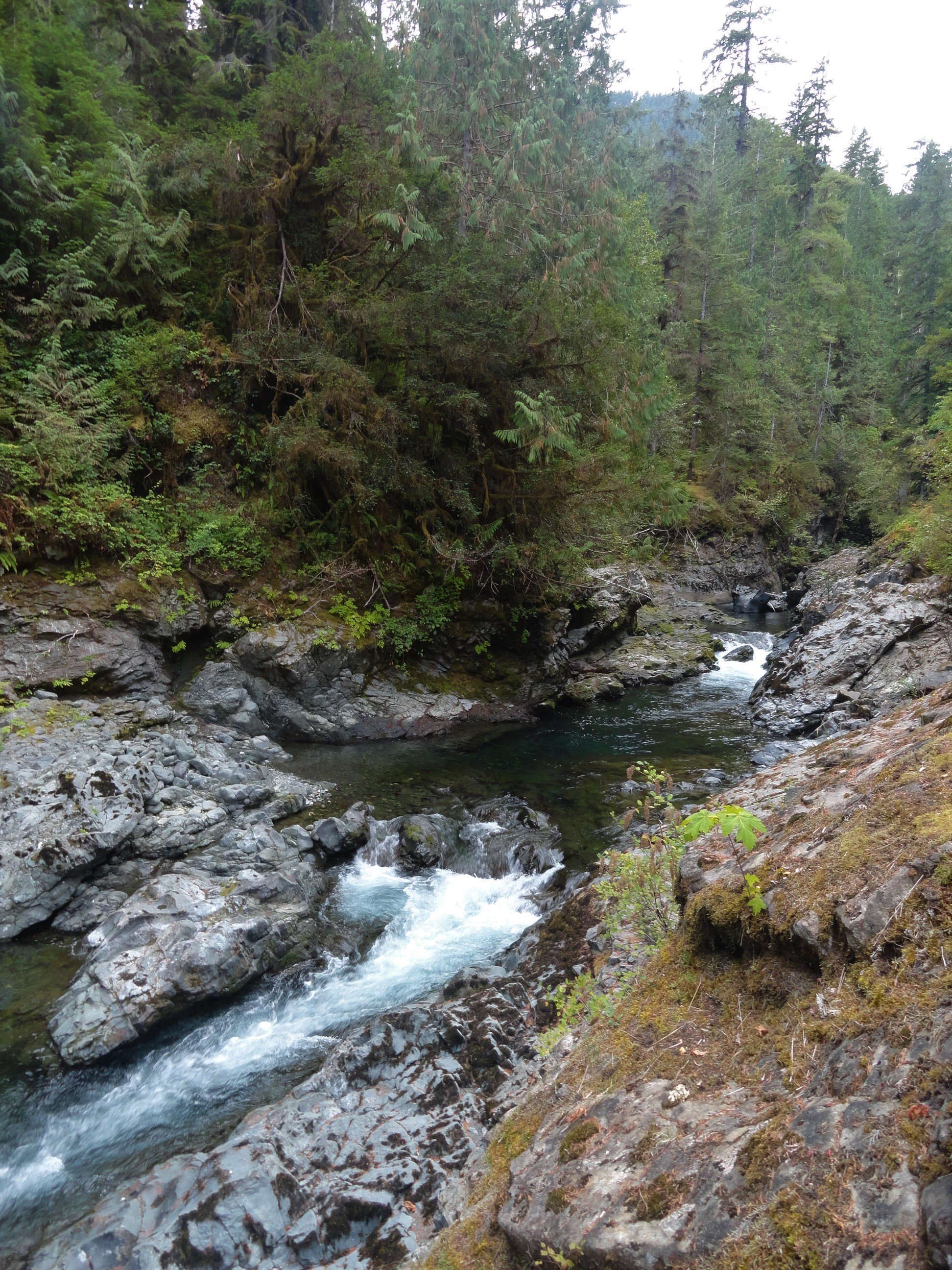
Ranger Hole
The deep forests, wild rivers, and forbidding mountains of the Olympic Peninsula harbor many secrets. And outdoors people of all ages and abilities are often drawn to trying to unlock their mysteries. But when it comes to legendary fishing holes, don’t even think about asking fishermen and fisherwomen to reveal their coveted spots. One luring spot of lore however, the Ranger Hole, is no secret at all. It can reached by a short and delightful trail. And best of all, while it’s no secret, it’s often overlooked by many hikers. So a little peace and solitude is possible on this trail.
Craig Romano | author
The deep forests, wild rivers, and forbidding mountains of the Olympic Peninsula harbor many secrets. And outdoorspeople of all ages and abilities are often drawn to trying to unlock their mysteries. But when it comes to legendary fishing holes, don’t even think about asking fishermen and fisherwomen to reveal their coveted spots. One luring spot of lore however, the Ranger Hole, is no secret at all. It can reached by a short and delightful trail. And best of all, while it’s no secret, it’s often overlooked by many hikers. So a little peace and solitude is possible on this trail.
Hit the Trail
Upon arriving at the trailhead located near at the Interrorem Cabin, you’ll immediately be taken back to the early days of the Olympic National Forest. Before heading out for the famed Ranger Hole, take a little stroll back in time on the Interrorem Nature Trail to get a better appreciation for this area. The trail makes a 0.3 mile loop behind the cabin and it’s wheelchair accessible.


The simple, rustic, but elegant Interrorem Cabin was built in 1907 by Hoodsport pioneer Emery J. Finch as the first administrative site of the newly established Olympic National Forest (which at the time included what would become the Olympic National Park in 1938). Finch an assistant forest ranger with the Olympic National Reserve (which would be reorganized as a national forest) was chosen to build the cabin and administer the new national forest from it. Upon building the structure he moved his newlywed wife Mabel in with him in the spring of 1908. The building was knowns as “No. 27 Interrorem Administrative Site,” as it was intended to be a temporary structure.
What proved to be temporary however, was Finch, as he resigned in 1910. The Interrorem Ranger Station however continued to serve as the main administrative building for the Olympic National Forest and the newly created Mount Olympus National Monument (which later became Olympic National Park) until 1933. Look at that little and snug structure which consists of three rooms: an office, bedroom and kitchen. Now try to imagine that it served as the main administrative office for a public land area of more than 1.5 million acres!
Eventually new and larger ranger stations were built. The Interrorem Ranger Station became known as the Interrorem Guard Station and served as a basecamp for the Depression era Works Progress Administration (WPA) and the Civilian Conservation Corp (CCC). A CCC camp was also established on the grounds near the cabin. After Congress closed the CCC in 1942, the cabin continued to be in use, serving as a fireguard station all the way until 1986. After that time it began to fall in disrepair, but thankfully it was restored. In 1994 the cabin became available to the public for overnight rentals. In 2013 it was rightfully added to the National Register of Historic Places as the oldest Forest Service building in Olympic National Forest and among the oldest in the Pacific Northwest.

As you walk the Interrorem Nature Trail try to envision the area more than a century ago. Next to the cabin once stood a barn, corral, and woodshed. Big moss-draped second growth firs, cedars, and hemlocks have replaced the pasture that Finch’s horse grazed upon. Upon completing this loop, set out on the adjoining Ranger Hole Trail.
Ranger Finch was an avid fisherman. He was responsible for building the Ranger Hole Trail, a path to his favorite fishing hole on the Duckabush River. Head down the trail through mature second growth. The way climbs a little hump before making a gradual descent toward the river. While the surrounding forest can be dark at times, come spring hundreds of trilliums line the way adding whites, pinks, and purples to the emerald landscape.

Soon the Duckabush River’s roar becomes more audible. During the wetter months it is quite loud. You are almost there. The trail makes a short steep drop and emerges along the banks of the Duckabush. A short distance beyond reach the famed fishing spot. Here the river crashes and thunders through a narrow rocky chasm to a deep pool. Frothy gurgling waters crash up against the narrow cleft. Be sure to keep children and dogs nearby while admiring this landmark. When the sun is shining, its ray reach this spot, providing a little warmth and light and providing a nice contrast to the dark and damp surrounding forest.
Chinook salmon, chum salmon, pink salmon, coho salmon, and steelhead trout still ply the Duckabush’s waters. And while their numbers are a fraction of what they were back in Finch’s time, fishing (be sure to check regulations and seasons) is still allowed and can be good on the Duckabush. And perhaps you have a favorite fishing hole on this river or another in the national forest. A secret spot you don’t have to reveal to anyone!

Ranger Hole
Features: Historic Ranger Station, Kid-friendly, dog-friendly, Duckabush River Access, spring woodland wildflowers
Distance: 1.9 miles roundtrip
Elevation Gain: 250 feet
High Point: 320 feet
Difficulty: easy
Snow free: year round
Trailhead Pass Needed: Northwest Forest Pass or Interagency Pass required
Notes: Please respect the privacy of any guests staying at the Interrorem Cabin
GPS waypoints: Trailhead: N47 40.882 W122 59.670; Ranger Hole: N47 40.499 W122 59.830
Land Agency Contact: Olympic National Forest, Hood Canal Ranger District, Quilcene, (360) 765-2200, http://www.fs.usda.gov/olympic; and Olympic National Park, Wilderness Information Center, (360) 565-3100, www.nps.gov/olym
Recommended Guidebook: Day Hiking Olympic Peninsula 2nd edition (Romano, Mountaineers Books)
Trailhead directions: From Shelton, drive north on US 101 for 37 miles turning left at Milepost 310 onto the Duckabush Road (From Quilcene, drive south on US 101 for 15.5 miles turning right onto the Duckabush Road). Then drive 3.6 miles to the trailhead at the Interrorem Cabin.
Trailhead facilities: privy, water (seasonal)

Hamma Hamma's Living Legacy Trail
Take a leisurely hike back into time on this delightful trail along the Hamma Hamma River to the historic Hamma Hamma Cabin.
By Craig Romano, feature columnist
Craig Romano, is an author of more than twenty hiking guidebooks including the bestselling Day Hiking Olympic Peninsula 2nd Edition (Mountaineers Books), which includes detailed descriptions for 136 hikes throughout the Olympic Peninsula. Visit CraigRomano.com for more information.
Take a leisurely hike back into time on this delightful trail along the Hamma Hamma River to the historic Hamma Hamma Cabin. Constructed by the Depression-era Civilian Conservation Corp (CCC), the cabin was used as a guard station in Olympic National Forest. Today it stands as a testament to the craftsmanship and hard work of the CCC. Learn more about “Roosevelt’s Tree Army” and their legacy on this family friendly interpretive trail.

Photo: Craig Romano
In April of 1933 in the midst of the Great Depression, newly inaugurated president Franklin D Roosevelt established the CCC through an executive order. Roosevelt’s aim was more than just putting young men to work and allowing them to provide for their families.
"Roosevelt strongly believed in the spiritual and physical values of working in nature, and in the importance of conservation of our natural resources for the nation’s health and prosperity."
At its height in 1935, more than 500,000 young men were stationed in more than 2900 CCC camps in every state as well as Puerto Rico and the Virgin Islands. At the program’s close in 1942, more than 3 million men (nearly 5% of the country’s male population) had served in the CCC. This trail sheds some light on what life was like for these men during their time in the Corp—and highlight some of their achievements and legacy.

Photo: Craig Romano
Among their many projects, CCC recruits were responsible for building vast amounts of infrastructure within parks and forests throughout the country—including both the Olympic National Park and Forest.
They also fought fires, reforested large tracts of land and worked on flood control projects. There were camps established right within Olympic National Park and Olympic National Forest, including one in the nearby Staircase Region. Nearby Twanoh State Park on Hood Canal also was the site of a large CCC camp.
Hit the Trail
Start your hike east on a wide and level path through a riparian forest of large mossy maples and speckled barked alders. The first quarter mile of this recently refurbished trail is ADA compliant. While this trail emphasizes the historic role the CCC played in this corner of Olympic National Forest, there is plenty of natural beauty to be enjoyed long the way as well. It is the only trail (albeit just for a short stretch) that runs along the Hamma Hamma River.

Photo: Craig Romano
The river’s name come from the Twana (whose ancestral lands included much of the Hood Canal region) word Hab’hab, which refers to a reed along the river’s banks. The name means big stink, or literally stinky, stinky in reference to the aroma the reeds emitted. The trail hugs a bank above the river allowing for some excellent views of the pretty waterway.
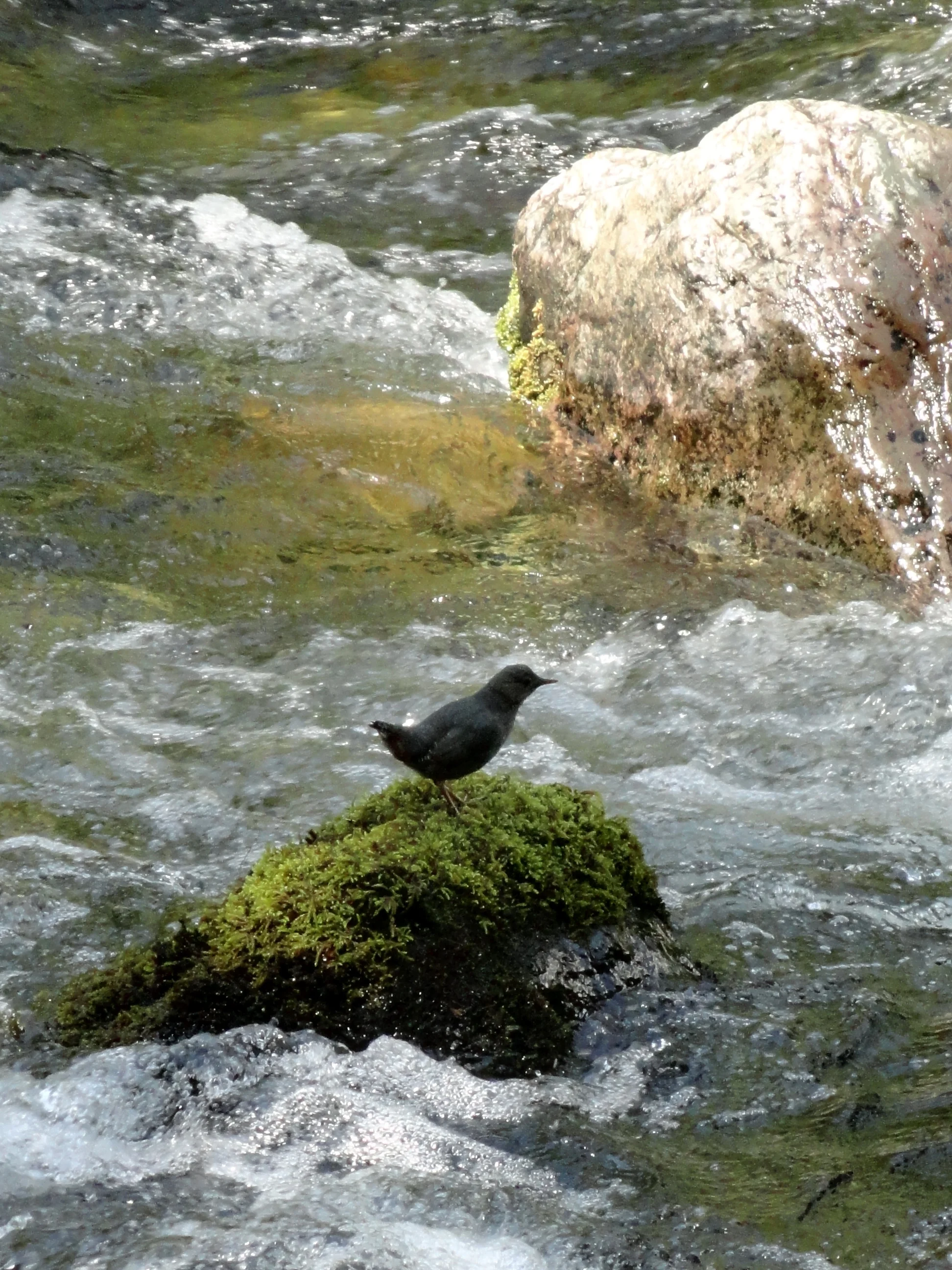
Photo: Craig Romano
Stop and look for dippers—robin sized birds that feed on aquatic insects and nest along the shorelines of rushing water. In spring look for Harlequin ducks returning from the Salish Sea. One of the prettiest sea ducks, they build hidden nests along rapid moving creeks and rivers.
The trail climbs a small bluff granting an excellent view of the pretty waterway, before leaving the river for forest. At 0.5 mile the trail turns north to cross Forest Road 25. Now walk along cascading Watson Creek climbing about 100 feet to a wooden bench on a perch overlooking the creek. It’s a great spot to sit and enjoy the sound of nature’s water music. By late spring nesting thrushes and other songbirds add a wide range of melodies.
The trail now turns west to soon reach the historic Hamma Hamma Guard Station. Built by the CCC from 1936 to 1937, it was used for administrative purposes for forest fire and trail crews. Today this eloquently rustic structure with its hexagonal bay window can be rented out for an overnight stay recreation.gov. Please respect the privacy of any guests staying at the cabin by not walking on the grounds. Otherwise wander around the structure. Note the landscaping too, especially the rhododendrons which will be in bloom come May.
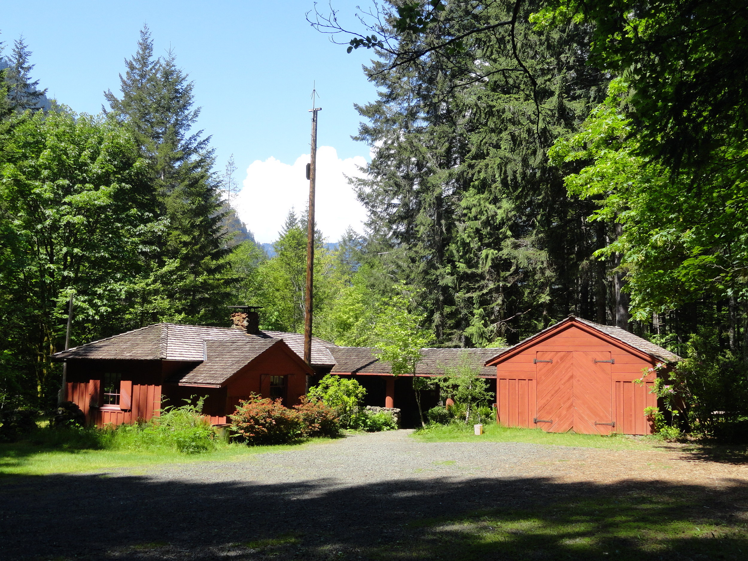
Photo: Craig Romano
After admiring the historic structure continue west on the loop crossing a small creek and traversing a grove of mature second growth firs. The way then descends into a ravine before re-crossing FR 25. Continue hiking passing some big beautiful old trees before reaching the campground loop road near campsite no. 6. Now turn right and walk the loop road a short distance back to your start closing your loop hike at 1.8 miles. Reflect on some of the achievements of the Corp including the thousands of miles of trails they built, more than 3400 fire towers constructed, nearly 3 billion trees planted, and the development of amenities and infrastructure in more than 800 parks across the nation. Many of their works are still standing and in use in Olympic National Park and Olympic National Forest as well as at several nearby state parks. The Corp’s legacy continues to live on for the next generation of outdoorsmen and women.

Getting Here
First .25 mile ADA; Leave No Trace Principles
Land Agency Contact: Olympic National Forest, Hood Canal Ranger District, www.fs.usda.gov/olympic
Recommended Map: Green Trails Olympic Mountains East 168S
Trailhead directions: From Hoodsport travel north on US 101 north for 13.7 miles turning left at milepost 318 turn onto FR 25 (Hamma Hamma River Road). Then continue west for 6.0 miles turning left into the Hamma Hamma Campground. Proceed for 0.1 mile to trailhead located near site no. 12.
Trailhead facilities: campsites (fee), privy
A Quiet trek to Pine Lake
The South Fork Skokomish River Valley offers quite a contrast from the North Fork Skokomish River Valley. Located within Olympic National Forest and not Olympic National Park, the South Fork sees a fraction of the number of folks that visit the North Fork.
Craig Romano | Story and Pictures
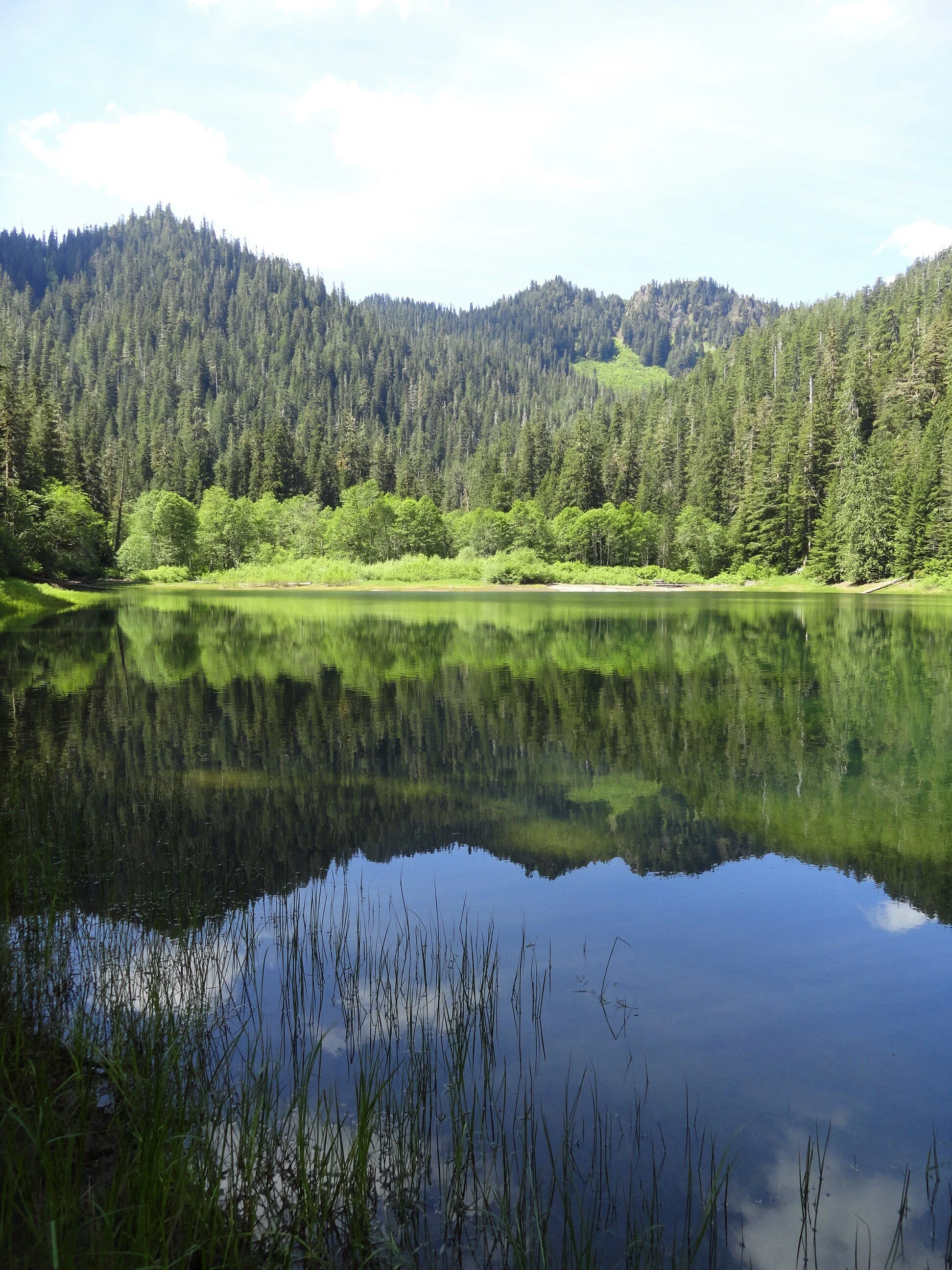
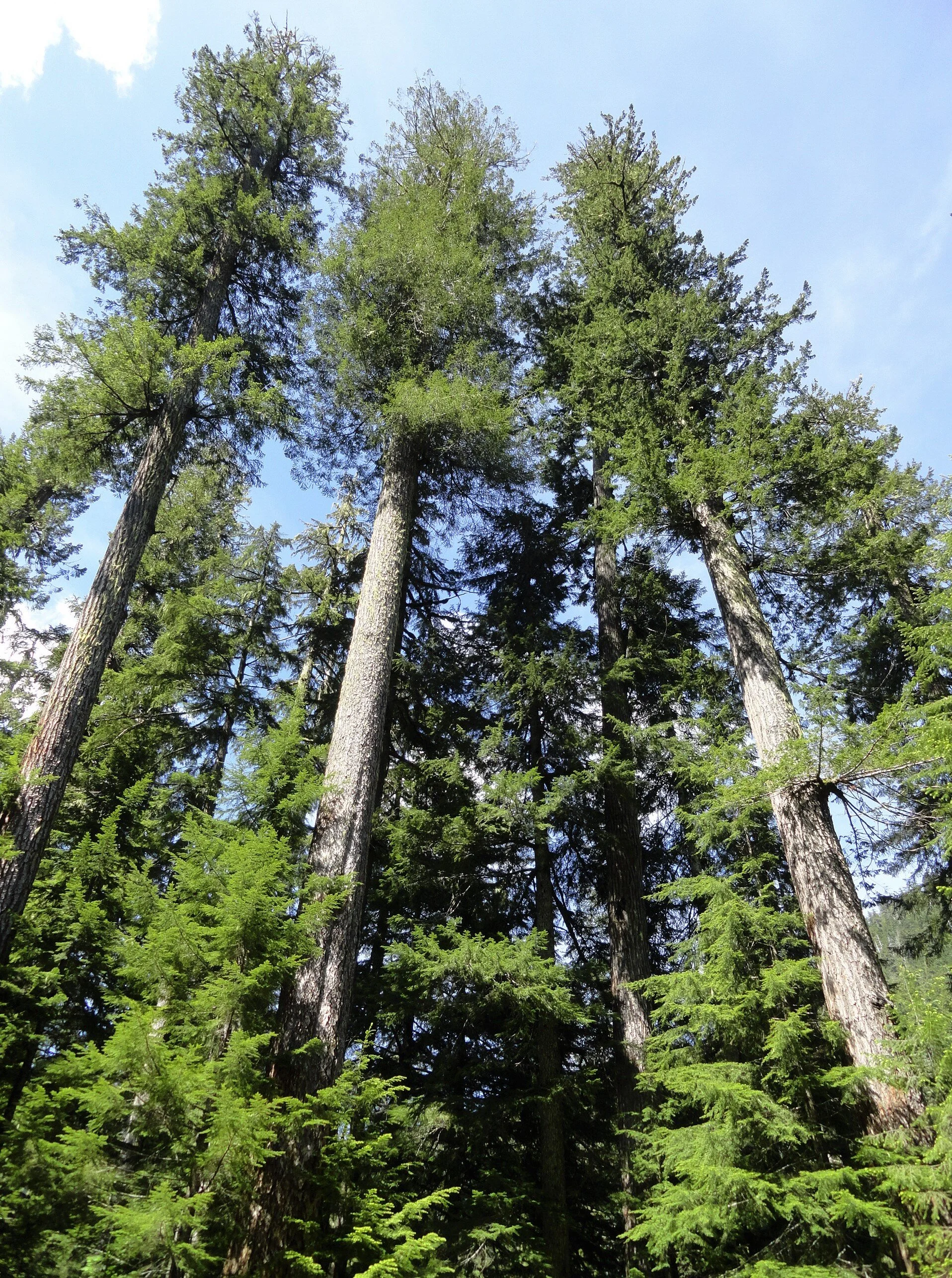
The South Fork Skokomish River Valley offers quite a contrast from the North Fork Skokomish River Valley. Located within Olympic National Forest and not Olympic National Park, the South Fork sees a fraction of the number of folks that visit the North Fork. Once a heavily logged area, the South Fork is slowly reverting back to a more natural state. Miles of former Forest Service logging roads in this wildlife rich valley have been decommissioned; some converted into trails. The converted trail to pretty little Pine Lake is a pure pleasure to walk. And surprisingly, the lake is surrounded by beautiful ancient forest. Majestic hemlocks, Douglas firs, and red cedars—just no pines.
Hit the Trail
Much of the South Fork Skokomish Valley in the Olympic National Forest was intensely logged from the 1940s to the 1980s. By the 1990s however timber harvesting on the Olympic and other Western Washington national forests was heavily curtailed due to market place changes and new management objectives favoring habitat protection and recreation. This resulted in the Forest Service decommissioning hundreds of miles of old logging roads. Some of these old roads however presented new opportunities to expand the trail system.

Olympic National Forest once contained hundreds of miles of trails in the South Fork Skokomish and Wynoochee River watersheds. Intensive logging destroyed most of those trails. Forest Service officials and citizen groups now see new opportunities to regain many miles of these lost trails through road conversions. The trail to Pine Lake is one of these new trails. And unlike so many road-trail conversion that simply involves gating the road and removing culverts—the Pine Lake Trail was designed with aesthetes in mind.
The road to trail conversion to this little lake involved constructing bends and curves in the original road bed to better mimic a real trail. And the road bed was restored to original contours in places further obscuring old road cuts.
The Forest Service planted native vegetation along the road bed so that in time it will be very difficult to see that this route was once a wide logging road. And while logging did occur within the Pine Creek watershed, it wasn’t as intense as in some of the smaller watersheds farther south and east. Large patches and tracts of old-growth forest were left uncut. And as the second growth patches adjacent to the primeval tracts continue to mature, evidence of past logging in the basin containing Pine Lake becomes less obvious.
"Surprisingly this trail is not on many hiker’s radar. Come on a weekday and you may have the lake to yourself."
From the small parking area, follow the trail through second growth forest traversing slopes high above Pine Creek. About half way up the trail you’ll encounter a patch of invasive Scotch broom, a plant that crowds out native vegetation in disturbed areas. The Forest Service along with Washington Conservation Corp crews have done a good job at Pine Lake restoring native vegetation. Unfortunately this pervasive and hardy invasive plant has gotten a foothold in this valley. Hopefully they can soon attack the broom before it sweeps across the valley.
At about two miles the trail enters an attractive grove of old-growth forest. The way then steepens a little breaking stride from its relatively gentle grade to this point. In another .75 mile the trail leaves the old road bed to traverse a grove of big trees and descend to Pine Lake. The lake is pretty shallow and surrounded by grasses, sedges and other small plants—many planted by the Forest Service to help rehabilitate the shoreline from past abuses.
Treat the area with respect by sticking to established paths and not trampling vegetation.
Savor the serenity of the scene. Look for resident waterfowl on the lake’s open waters and in its vegetated coves.
Admire the forested hillsides too and Chapel Peak which often reflects upon the lake’s placid waters. Notice too that among the stately conifers surrounding the lake, there does not appear to be any pines. Western white pines valued for their fine wood, were once abundant in the Olympics and Cascades. But it wasn’t logging that erased them from much of these landscapes—but a Eurasian disease, white pine blister rust that decimated stands of this majestic tree.

It’s possible that is what occurred here at Pine Lake. Then again, early pioneers and explorers were also known for misnaming features. There are no badgers in Olympic National Park’s Badger Valley for example nor black oaks growing anywhere near Black Oak Creek in the North Cascades. Perhaps someone named the lake Pine referring to the area’s evergreens as pines. I have seen this mistake numerous times in travel journals and tourism brochures! Anyhow, Pine Lake’s name origins may remain a mystery. But pine or no pines, the lake is a pretty hiking destination. And if you are intent on seeing some beautiful western white pines, nearby Six Ridge in Olympic National Park harbors some healthy stands of them—but it is no easy hike reaching them.

Pine Lake Hike Resources
Land Agency Contact: Olympic National Forest, Hood Canal Ranger District, Quilcene, http://www.fs.usda.gov/olympic
Recommended Guidebooks: Day Hiking Olympic Peninsula
2nd edition (Romano, Mountaineers Books)
Trailhead directions: From Shelton, travel north on US 101 for 7 miles, turning left at milepost 340 onto the Skokomish Valley Road (signed “Skokomish Recreation Area”). Follow for 5.6 miles, bearing right at a V intersection onto Forest Road 23. Continue for 9.3 miles bearing left at Y-junction with FR 2353. Continuing on FR 23 (pavement ends) follow this good gravel road for 4.3 miles bearing right onto FR 2361. Continue for 1.2 miles and turn left onto unsigned Spur 200. Follow .7 mile to trailhead.
Distance: 5.8 miles roundtrip
Elevation Gain: 700 feet
High Point: 1830 feet
Difficulty: moderate
Snow free: Mar—Dec
Trailhead Pass Needed: None
Notes: Forest Road 2361 is gated and closed from October 1 to April 30th to protect wildlife. You can walk or bike the road (adding 3.8 miles roundtrip) during this time to reach the trailhead.
GPS waypoints: Trailhead: N47 26.270 W123 25.678 | Pine Lake: N47 25.839 W123 28.618
Features: kid and dog friendly, backcountry lake in old-growth forest, chances for solitude and wildlife watching
Safe & healthy hiking during the Covid-19
Avoid crowded hiking destinations. If you arrive and the parking lot is already full, head to another location
Opt for weekdays over weekends and/or early morning to hit the trail
Avoid hiking in large groups outside of your family
Practice Social Distancing while on the trail, giving other hikers lots of room to pass and keeping your distance from them at lakes, summits, etc.
Wear a mask when encountering others on the trail. A buff or bandanna works well, and remember to pack hand sanitizer
Pack it in pack it out (including pet waste) and don’t be a surface pooper. Always using privies first if available-or head at least 200' away from all trails, campsites and water sources and digging a cat hole for your business. Bury your waste and toilet paper.
Our Guide
Craig Romano is an author of more than 20 hiking guidebooks including the bestselling Day Hiking Olympic Peninsula 2nd Edition (Mountaineers Books), which includes descriptions for 136 hikes throughout the Olympic Peninsula.
Shelton Inn is located in downtown Shelton, Washington. With easy access to Highway 101 and Highway 3 this comfortable hotel is a central location to begin your adventures. Rooms are air conditioned and include small refrigerators, coffee maker and microwaves. Free WIFI, dog rooms available, please call hotel directly.