
Home Lake
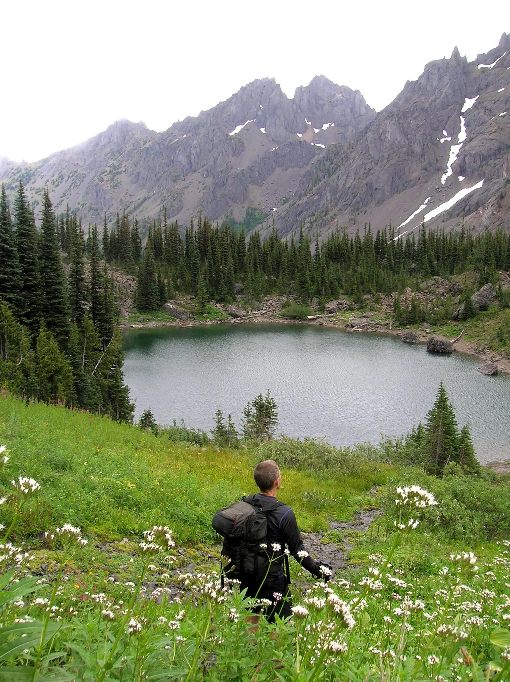
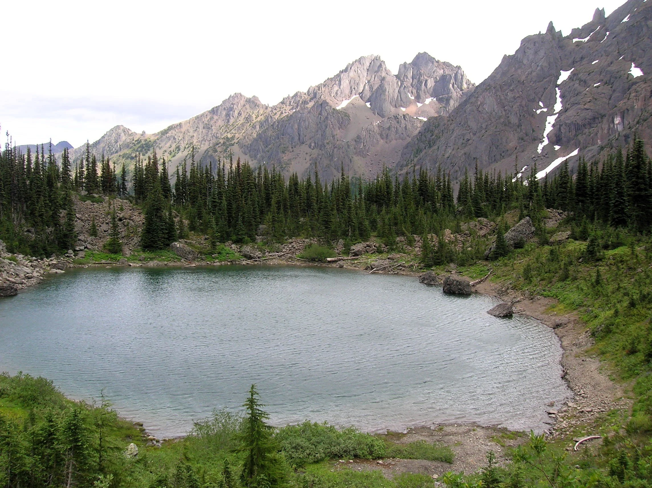
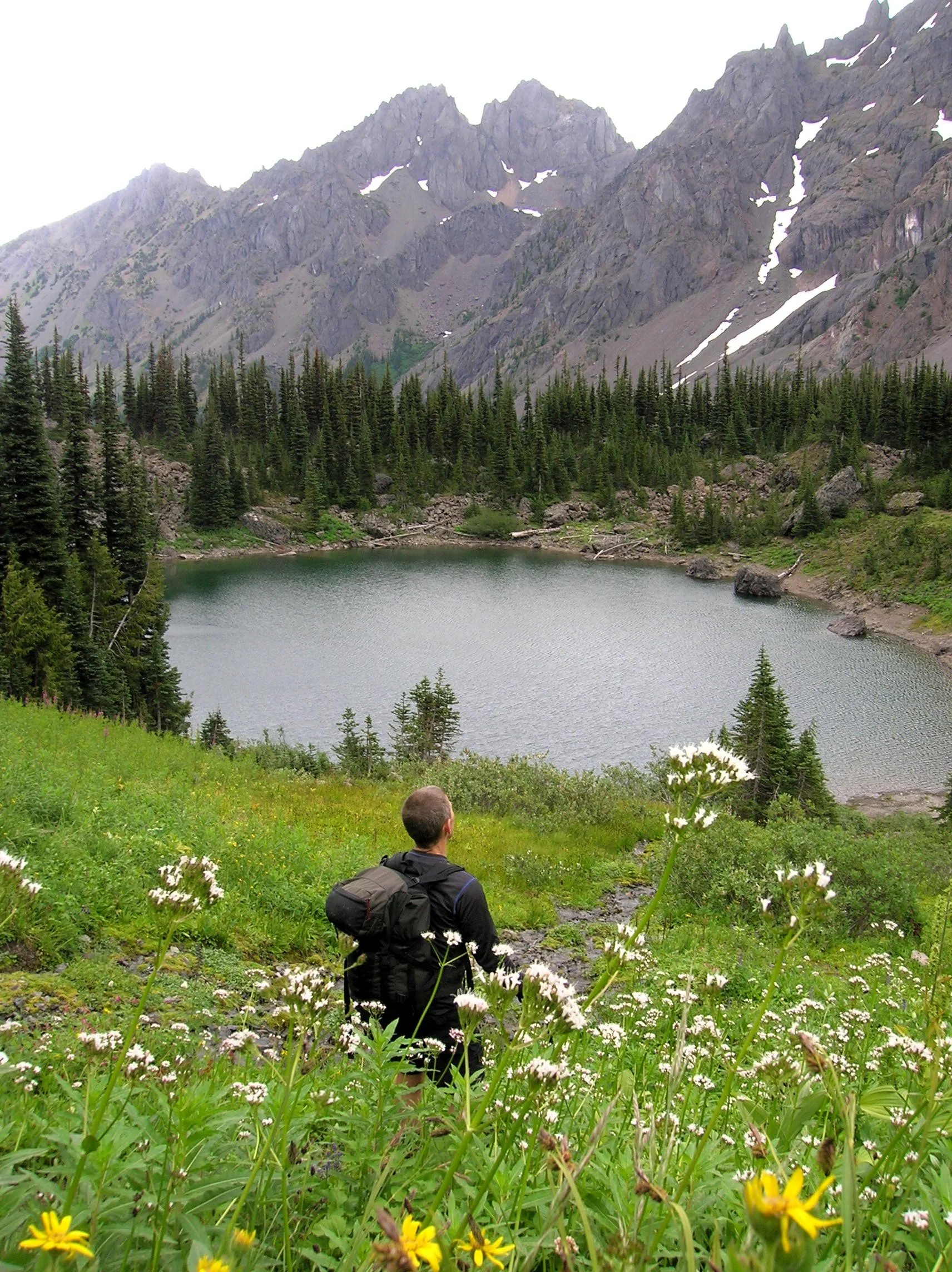
Little Home Lake lies on a rugged and remote ridge tucked between some of the highest and most impressive peaks in the Olympic Mountains. Fed by springs and surrounded by clusters of subalpine firs and flowering meadows, Home’s setting is quite serene. But cast your attention beyond its placid waters and be blown away by the staggering beauty of its neighboring mountains—especially of 7,756-foot Mount Constance, whose sheer western rock face towers above the lake.
Craig Romano | photos & story
Little Home Lake lies on a rugged and remote ridge tucked between some of the highest and most impressive peaks in the Olympic Mountains. Fed by springs and surrounded by clusters of subalpine firs and flowering meadows, Home’s setting is quite serene. But cast your attention beyond its placid waters and be blown away by the staggering beauty of its neighboring mountains—especially of 7,756-foot Mount Constance, whose sheer western rock face towers above the lake. It’s an awe-inspiring scene, and a side of the mountain so starkly different from the one presented to countless folks who have admired this familiar peak from the east.
It’s a long way to Home Lake making it a multi-day hike for all but the strongest hikers and trail runners. The lake can be approached via four routes with the approach starting on the Upper Dungeness Trail being the shortest and easiest (but not easy). That route along with the Tubal Cain Mine Trail approach involve long (and bumpy) drives for folks coming from the South Sound.
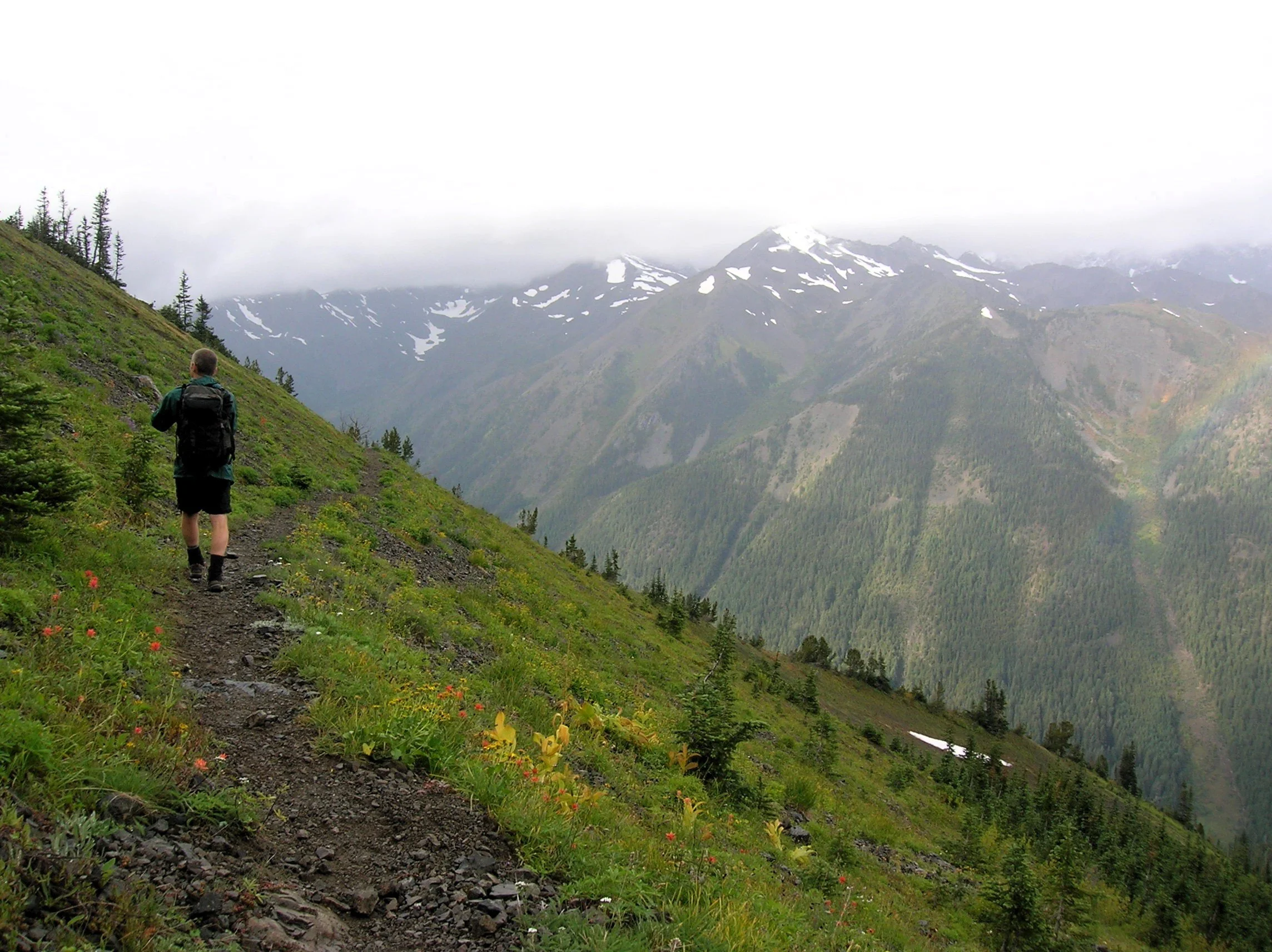
The Dosewallips-Constance Pass approach involves walking a long stretch of old road and a very steep lightly maintained trail. My preferred route to Home is via the Upper Big Quilcene River Trail to Marmot Pass. While this means enduring a busy trail for a few miles, you’re rewarded with exceptional views and several excellent campsites along the way if the 11 mile route to the lake is too much to do in one day.
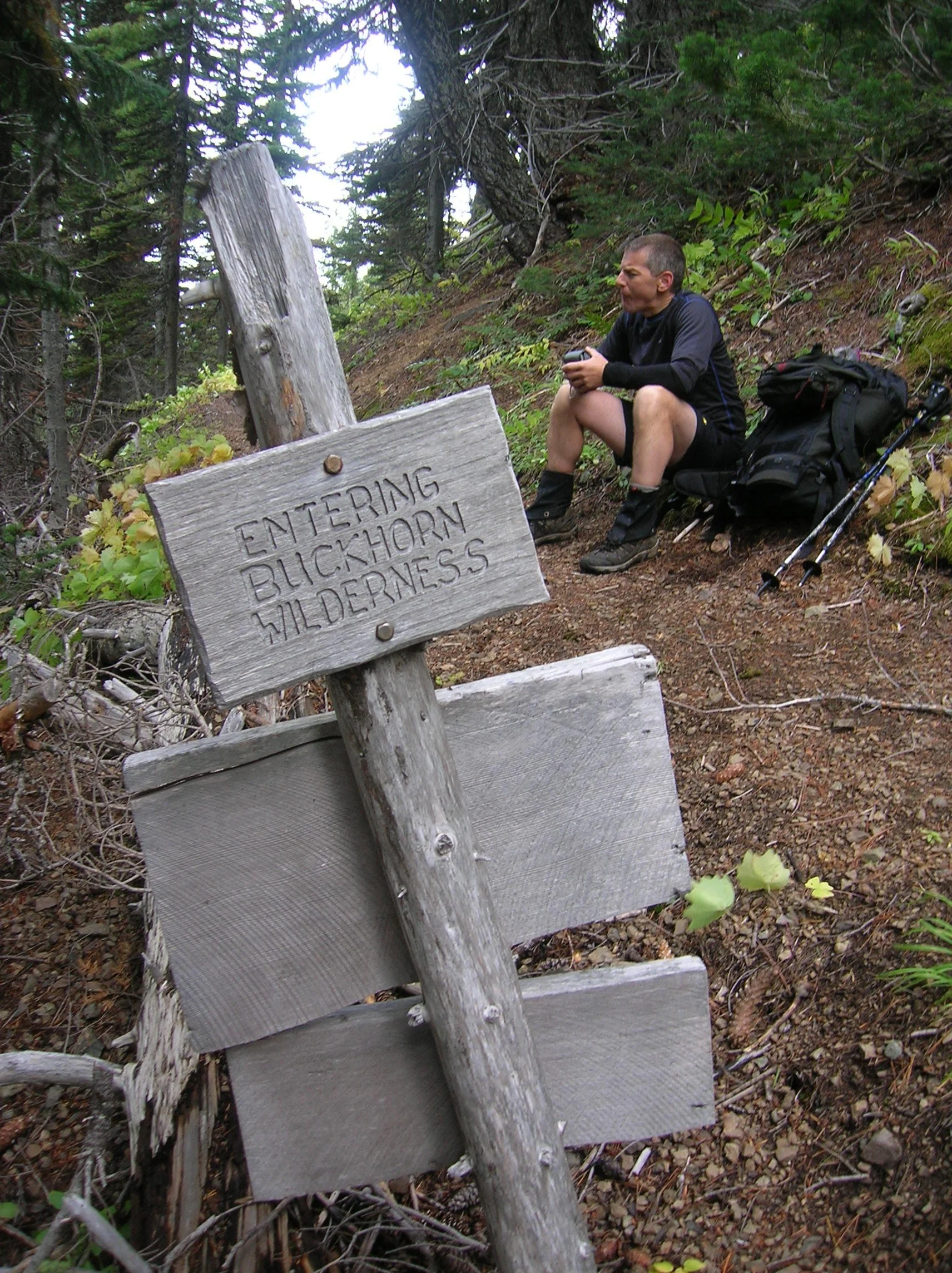
The Upper Big Quilcene River Trail enters the 44,258-acre Buckhorn Wilderness, the largest roadless area within the Olympic National Forest. The trail starts off gently traversing magnificent stands of primeval forest along the churning waters of the Big Quilcene River. You’ll cross many side creeks along the way. Lack of water is not an issue on this route. After passing Shelter Rock Camp, the trail steeply climbs away from the river to begin traversing open avalanche chutes and scree slopes offering good views of the rugged surroundings. Keep climbing—it only gets better. At just shy of five miles the trail reaches busy Camp Mystery set in a grove of Alaska yellow cedars and subalpine firs. Its springs are a great place to refill water bottles.
The trails now leaves the forest for subalpine meadows which burst with wildflowers through the summer. Watch for scurrying ground squirrels, languid marmots, and docile deer. At 5.3 miles, crest 5,950-foot Marmot Pass and savor the excellent view east to Hood Canal, Puget Sound, and the Cascades. Then gaze west towards the Dungeness Valley flanked by Mounts Mystery, Deception, and Walkinshaw; some of the highest summits in the Olympics.
From the pass, the Tubal Cain Trail veers right offering another albeit longer and more difficult approach to the pass. For Home Lake head left traversing open slopes granting sweeping views of a wall of craggy summits. Here in the Olympic rainshadow, the terrain is much drier than the rest of the Olympics. Lodgepole and whitebark pines cling to the ridges and steep slopes.
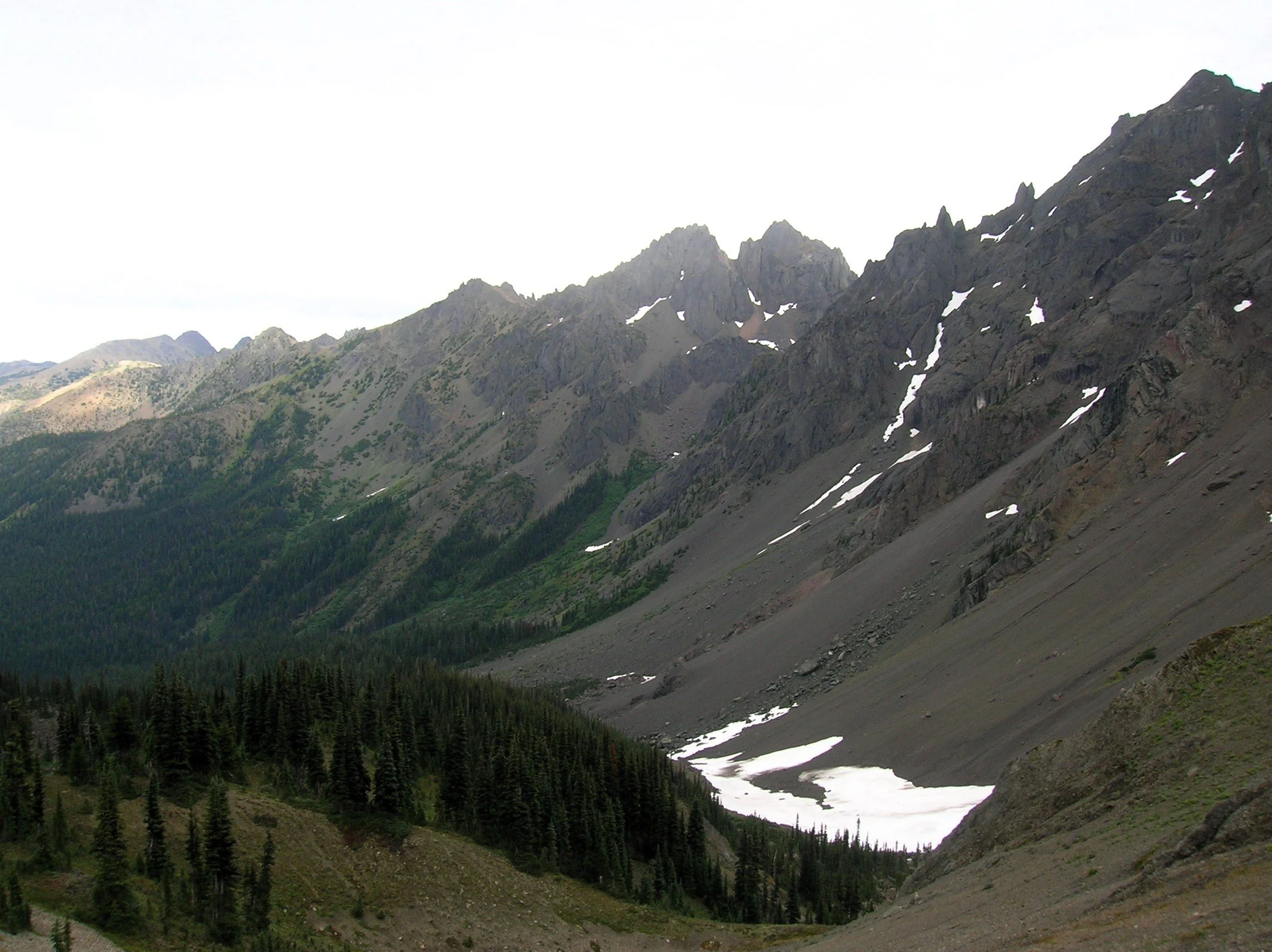
Look for Clark’s nutcracker, a jay-like bird which feeds on pine nuts. Listen for its raucous call, a rare sound in the Olympics.
The way now descends and traverses a steep slope that often harbors two steep (potentially dangerous) snowfields earlier in the summer. The trail then enters open pine forest and descends steeply. Remember—you’ll have to climb this stretch on your return. At just over 7 miles the trail reaches a junction with the Dungeness River Trail—the easiest approach to Home Lake.
Now continue left on the Home Lake Trail crossing a creek and entering an open basin littered with jumbled boulders. Here find Boulder Camp with its restored and historic shelter. This is a good place to set up camp for the night.
For Home Lake continue south climbing to a forested swale and soon reaching an unmarked junction. The trail left leads one mile to a 6,300-foot gap from where a steep scramble path drops 800 feet to the tiny Charlia Lakes tucked in a rugged cirque. It makes for a spectacular and challenging side trip.
Continue south traversing steep slopes sporting stunted trees. At 8.0 miles enter Olympic National Park. If you’re hiking with a dog, this is your turning around spot. From here the lightly used path skirts steep avalanche swept slopes and crosses several cascading creeks. The terrain opens up as the trail travels beneath the formidable towering and stark walls of 7,300-foot Warrior Peak and 7,756- Mount Constance, third highest peak in the Olympics. The trail descends and gets rougher traversing a sprawling boulder and talus field. The walking is slow over the jumbled mess coupled by an inclination to keep tilting your head upwards and pause in amazement.
After negotiating the rocky mess the trail once again climbs. It ducks into a forested area to skirt snowfields at the base of Constance. At 10.5 miles and at an elevation of 5300 feet, reach Home Lake housed in a small basin beneath steep flowered slopes.
From its south shore enjoy home sweet views of Warrior Peak (named by celebrated climber Fred Beckey when he solo climbed it back in 1946). Lightly used camps (permits required) can be found on the wooded bluff above its western shore.
If you have any energy left, be sure to continue on the trail beyond the lake for another half mile climbing steeply up heather and flower fields to 5,800-foot Constance Pass. From here take in a breathtaking view of the Dosewallips Valley below and magnificent views of The Brothers, Mount Anderson, Mount La Crosse and a wide swath of the wild Olympic interior. Upon completing this hike, you just might be quoting a famous Dorothy with, “there’s no place like home!”
If you go:
Distance: 21.0 miles roundtrip
Elevation Gain: 5800 feet
High Point: 5350 feet
Difficulty: difficult
Snow free: July through October
Notes: Overnight camping permits required for Home Lake which is in Olympic National (acquire at Recreation.gov or from Wilderness Information Center in Port Angeles; https://www.nps.gov/olym/index.htm). Dogs are prohibited at Home Lake and in Olympic National Park. Campfires are prohibited Home Lake and above 3,500'. Dangerous steep snowfield just beyond Marmot Pass often lingers well into summer.
Trailhead Pass Needed: Northwest Forest Pass or Interagency Pass
GPS waypoints: Trailhead: N47 49.669, W123 02.445
Land Agency Contact: Olympic National Forest, Hood Canal Ranger District, Quilcene; and Olympic National Park, Wilderness Information Center, Port Angeles, www.nps.gov/olym
Recommended Guidebooks: Day Hiking Olympic Peninsula 3rd edition (Romano, Mountaineers Books) and Backpacking Washington 2nd edition (Romano, Mountaineers).
Trailhead directions: From Shelton, follow US 101 north for 48 miles turning right onto Penny Creek Road (about 1.5 miles south of Quilcene). After 1.5 miles bear left onto Big Quilcene River Road (FR 27) and follow this road for 9.3 miles turning left onto FR 2750. Continue 4.7 miles to the Upper Big Quilcene River Trailhead.
Trailhead facilities: privy
Head to the Mount Walker Summit
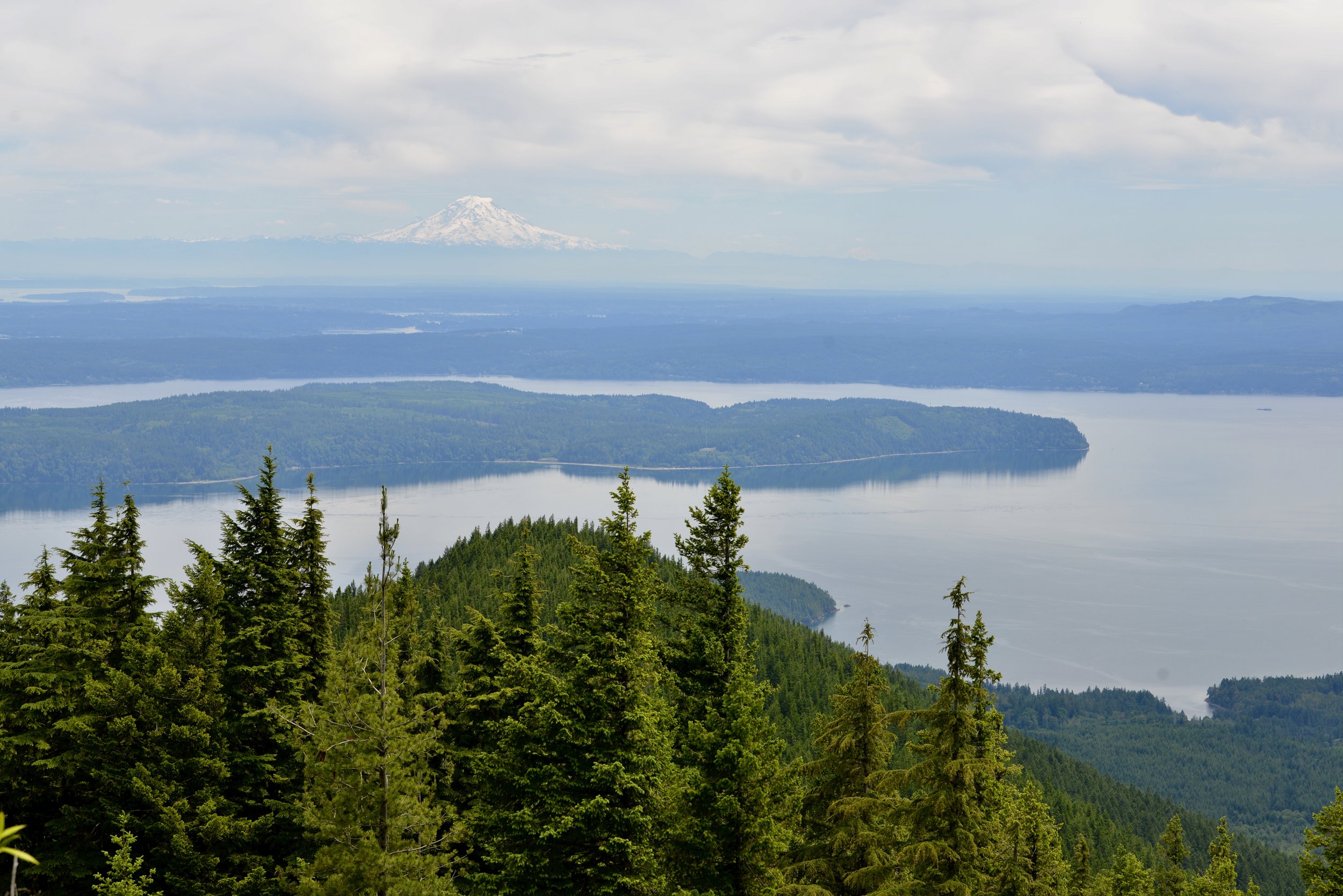
The Easternmost peak in the Olympic Mountains, Mount Walker offers a commanding view of Dabob Bay sparkling below and the Seattle skyline shimmering across Puget Sound. The close up of massive Mount Constance, the third highest peak in the Olympic Mountains is pretty darn impressive too. But the real joy to hiking this trail is ambling through its profuse clusters of rhododendrons. Hit the trail to Mount Walker in May or June for an ascent up a purple mountain majesty!
Craig Romano | story
The Easternmost peak in the Olympic Mountains, Mount Walker offers a commanding view of Dabob Bay sparkling below and the Seattle skyline shimmering across Puget Sound. The close up of massive Mount Constance, the third highest peak in the Olympic Mountains is pretty darn impressive too. But the real joy to hiking this trail is ambling through its profuse clusters of rhododendrons. Hit the trail to Mount Walker in May or June for an ascent up a purple mountain majesty!
Hit the Trail
While a dirt road winds four miles up the north and east side of Mount Walker allowing folks to drive to the views—hiking to them is far more rewarding. The trail ascends the mountain’s thickly forested west side far away from the road. But if the thought of busting your rump up a mountain only to be greeted by fresh-smelling folks who just popped out of their vehicle doesn’t appeal to you—then consider a hike up Walker when the road is gated and closed to vehicles. It’s also during that time that you can consider a loop hike by returning on the road.
On the rare occasions that snow accumulates on this low Olympic peak, the road makes for an excellent snowshoe or cross country ski route.
From the unimposing trailhead immediately begin climbing through a tunnel of rhododendrons under a uniform canopy of second-growth cedars and hemlocks. Washington’s state flower, the Pacific (or coast) rhododendron, grows in profusion along the steep dry slopes of Mount Walker. For much of the year the rhodies merely add a layer of dark green to the forest understory.

Pacific Rhododendron
But come late spring this hardy shrub begins to blossom, speckling the surrounding firs and hemlocks with rosy-purple bouquets. By June, vibrant violet bell-shaped blossoms ring throughout the emerald forest.
Interestingly, that although the Pacific Rhododendron is Washington’s state flower, it’s not very widespread in the Evergreen State. It primarily grows along the east slopes of the Olympics near Hood Canal, the Kitsap Peninsula and a few pockets on the western slopes of the Cascades.
It’s far more distributed in Oregon and grows profusely in the state’s southern Coastal Mountains as well as along California’s north coast. A clover, a flower more widespread in Washington, but not nearly as grand and showy as the rhododendron, almost became the state’s official flower back in 1892. But the rhodie overwhelmingly won the vote by thousands to represent Washington in the 1893 Chicago World’s Fair. It wasn’t until 1959 however when the state legislature made the rhodie officially the state’s flower. Mount Walker is one of the best places in Washington to appreciate this beautiful flower.

The trail climbs steeply. Occasionally take a break and look up to see if you can locate any of the old wire and insulators that once serviced a fire tower on the summit. After about 1.5 miles small ledges begin to break the monotony of the forest and tease with limited views. The grade then eases. Finally after 2 miles and nearly 2000 feet of climbing reach the North Summit viewpoint, which was the site of a fire lookout from 1931—1967.

Enjoy good but limited views west and north here. Then head to the South Summit (dogs must be leashed at the summits) by walking the graveled Summit Road for 0.4 mile to a picnic area and then following a 0.1 mile trail to a breathtaking panoramic view of Puget Sound.
Stare straight down to Quilcene Bay, Dabob Bay and the Toanodos Peninsula. Across the sparkling waters Green and Gold Mountains rise on the Kitsap Peninsula. Locate the Seattle skyline east of Kitsap. When clouds are absent or high in the sky, Mount Rainier adds a snowy backdrop to this beautiful scene. And if you’re here in June, the view will be framed with fragrant purple boughs.

Mount Walker
Distance: 5.0 miles roundtrip
Elevation Gain: 2050 feet
High Point: 2805 feet
Difficulty: difficult
Snow free: April—December
Trailhead Pass Needed: None
Notes: From November 1 until March 31 FR 2730 is gated. During this time park away from the gate near US 101 and walk .3 mile to the trailhead. Do not block the gate, park in the road, or block any private driveways.
GPS waypoints: Trailhead: N47 46.554 W122 54.854 | Summit picnic area: N47 47.100 W122 54.077
Features: Exceptional views of Hood Canal; historic fire tower site; one of the finest trails in the Olympics for rhododendron blooms
Land Agency Contact:
Olympic National Forest, Hood Canal Ranger District, Quilcene, (360) 765-2200, http://www.fs.usda.gov/olympic
Recommended Guidebook:
Day Hiking Olympic Peninsula 2nd edition (Romano, Mountaineers Books)
Trailhead directions:
From Shelton follow US 101 north for 47 miles. From Quilcene drive US 101 south for 5 miles) to just north of milepost 300. Turn right onto Mount Walker Road (FR 2730) and proceed 0.3 mile to the trailhead.
Guest Columnist:
Craig Romano
From forest ranger, to history teacher and now a full-time outdoor writer, Romano developed a love of the natural world growing up in rural New Hampshire. Romano has written more than 25 outdoor guide books including "Winter Hikes of Western Washington” (Mountaineers Books, 2009) and "Day Hiking Olympic Peninsula." He lives in Mt. Vernon with his wife and son.

Bird’s Eye View from Mount Townsend
Mount Townsend is a prominent landmark — and one of the region’s most hiked peaks. Its broad open summit affords sweeping views of some of the highest and craggiest peaks in the Olympics and a myriad of islands, straits, bays and peninsulas below.
Story & Photos: Craig Romano

Mount Townsend | photo credit Craig Romano
Rising more than 6200' at the northeast edge of the Olympic Mountains, Mount Townsend is a prominent landmark — and one of the region’s most hiked peaks. Its broad open summit affords sweeping views of some of the highest and craggiest peaks in the Olympics and a myriad of islands, straits, bays and peninsulas below. Stand atop this mountain on a clear day and watch ferries and vessels ply the shimmering waters below. Marvel at the Seattle skyline against a backdrop of snowy Cascade Mountains dominated by big, beautiful Mount Rainier. Ascend Townsend in the summer and be greeted by a brilliant array of wildflowers swaying in the alpine breezes.
Hit the Trail

There are four ways you can hike to get to the summit of Mount Townsend and all of them offer great views and a good workout. The most popular route to the mountain is the Mount Townsend Trail from its upper trailhead. An out and back via this route clocks in at 8.2 miles with just shy of 3000 feet of elevation gain. But if you don’t mind a slightly longer hike with a little more elevation gain, consider starting from the Lower Trailhead.
Throughout much of this hiking season you just may have to start from the Lower Trailhead as the Forest Service works on the upper trailhead access road rendering it off limits while under construction.
The Lower Trailhead start will add two more miles to your total roundtrip and another 500 feet of elevation gain. But it’s worth it. The way traverses a beautiful grove of primeval forest and passes by tiny Sink Lake where Townsend Creek performs a disappearing act. After one mile of pleasant walking you’ll emerge at the upper trailhead. As you approach the trailhead what may be an unsightly situation. The lack of an outhouse at such a popular trailhead as led many to violate leave no trace principles with some bad bathroom etiquette. Perhaps a note to the Forest Service in support of a trailhead privy can help rectify this situation.

From the Upper Trailhead, follow a well-beaten path and steadily ascend. The trail weaves through a stately grove of Douglas-fir and western hemlock adorned with Pacific rhododendrons. Time your hike for late May through June and enjoy brilliant blossoms. After a half mile enter the Buckhorn Wilderness protecting more than 44,000 acres of spectacular terrain in the Olympic Mountain’s northeastern rain shadow. Continue climbing transitioning into more open forest and start catching views that will only improve in magnitude as you carry on.
Cross several cascading creeks as you follow copious switchbacks upward.

At just past 2.5 miles reach a small pine and fir grove nestled on a small knoll just above tiny Windy Lake. And do hope the lake lives up to its name or its resident bugs may force you to move quickly through the area. In another half mile reach the scenic trail to the Silver Lakes. Bear right and soon leave the trees behind as you attain Townsend’s summit plateau.
Now traverse the subalpine tundra that upon a quick glance may appear barren. But it’s full of life and in summer beaming with color thanks to a myriad of wildflowers; cinquefoil, phlox, paintbrush, and harebells among them.

Look too in the rocky areas for Piper’s bellflower, a campanula that is endemic to the Olympic Mountains. Owing to its drier aspects, junipers hug the ground throughout Townsend’s summit.
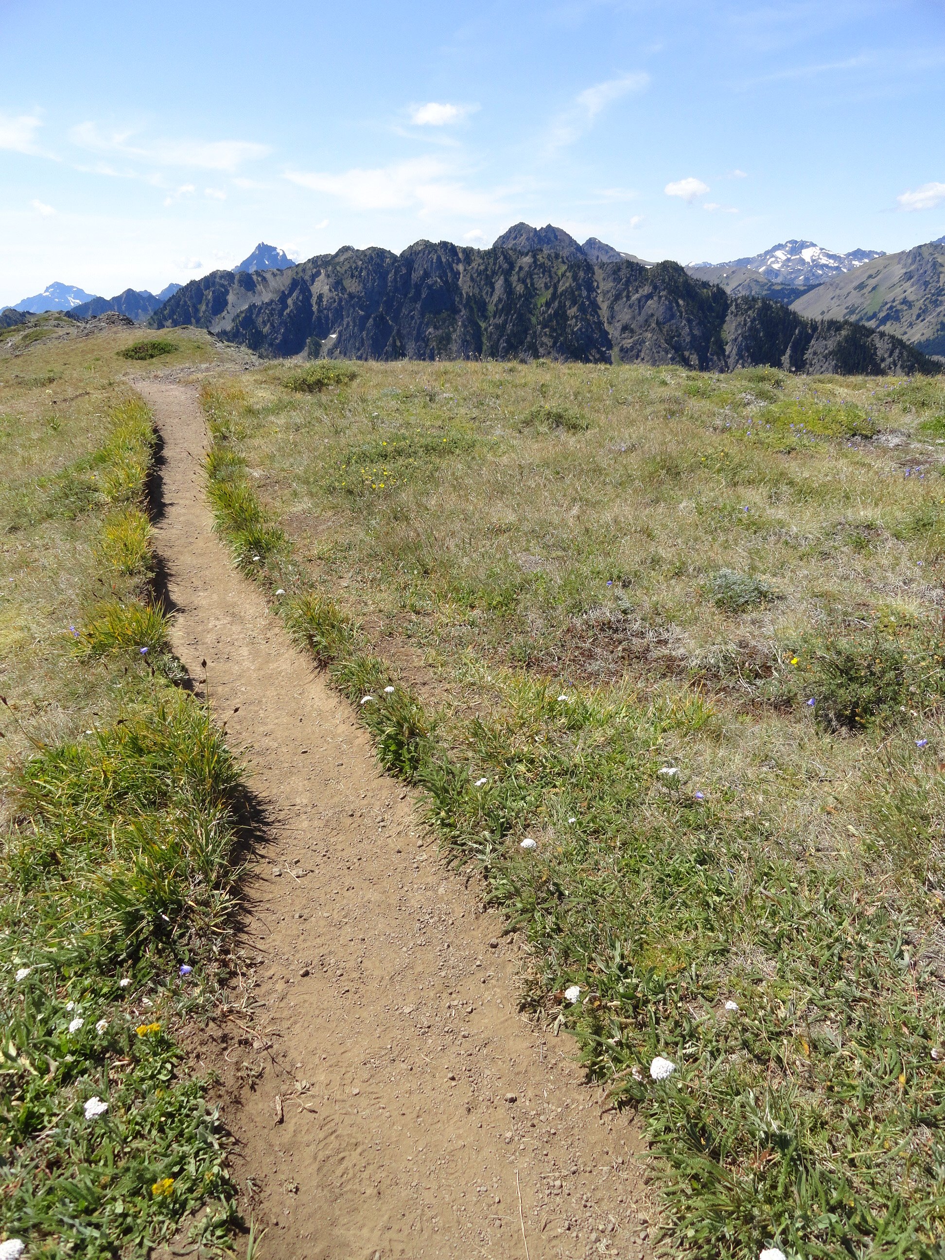
At 4.0 miles from the upper trailhead reach a junction. The main trail continues left descending to the Little Quilcene Trail offering two more approaches to the summit—one from the Northwest and one from the Northeast. Head right for 0.1 mile to the mountain’s highest point, its 6280-feet south summit. Consider continuing on the trail a short distance to Townsend’s northern 6212-foot summit too. It was on this point from 1933 until 1962 that a fire lookout once sat.
The views are great from anywhere along the open peak. Gaze out to the Salish Sea with its sprawling labyrinth of islands, bays, and channels. Watch ferries ply azure waters. Marvel at the Seattle skyline sparkling in the afternoon sunlight. And admire a fortress of Cascade peaks, punctuated by the snowy volcanoes. Look north to Dungeness Spit, Discovery Bay, the San Juan Islands, and Vancouver Island. And to the west, it’s nothing but pure Olympic wilderness—jagged peaks and deep green valleys.
And if you’re wondering if Townsend (as well as the nearby city and port) takes its name after the 19th century naturalist who named Townsend’s chipmunk, Townsend’s ground squirrel, Townsend’s solitaire and many other species—it is not!
Captain George Vancouver in 1792 bestowed the name Townsend—originally Townshend for the Marquess of Townshend. The father of Thomas Mamby, one of Vancouver’s crew members was an aide-de-camp to the Marquess at the time. The S’Klallam Tribe which had a community on the bay at the time originally called it Kah Tai which translates to pass through. You’ll probably want to pass through Mount Townsend on a return trip by perhaps ascending it via one of the other routes.
Mount Townsend Details
Distance: 8.2 miles roundtrip
Elevation Gain: 2980 feet
High Point: 6280 feet
Difficulty: moderately difficult
Snow free: June to November
Trailhead Pass Needed: None
Notes: trail also open to horses, wilderness rules apply
GPS waypoints: Trailhead: N 47 51.385, W 123 02.153
Land Agency Contact: Olympic National Forest, Hood Canal Ranger District, Quilcene; http://www.fs.usda.gov/olympic
Recommended Guidebook: Day Hiking Olympic Peninsula 2ed (Romano, Mountaineers Books)
Trailhead facilities: none
Trailhead directions: From Shelton, drive US 101 north for 50.5 miles. Upon crossing the Big Quilcene River just shy of the community of Quilcene turn left onto Penny Creek Road. The drive 1.5 miles and bear left onto Big Quilcene River Road (Forest Road 27). Follow this generally good road for 12.5 miles for the lower trailhead turnoff; or 13.7 miles for the upper turnoff. Then reach the lower trailhead in 0.8 mile or the upper trailhead in 0.7 mile.
Silver Lake Hike
The Olympic National Forest’s Buckhorn Wilderness contains more than 44,000 acres of some of the finest backcountry on the Olympic Peninsula. Within this rugged corner of the Olympic Mountains you can hike on miles of trails traversing deep valleys of old-growth forests and along high windswept ridges granting stunning views.
Craig Romano | Story and Pictures
The Olympic National Forest’s Buckhorn Wilderness contains more than 44,000 acres of some of the finest backcountry on the Olympic Peninsula. Within this rugged corner of the Olympic Mountains you can hike on miles of trails traversing deep valleys of old-growth forests and along high windswept ridges granting stunning views.
Hit the Trail
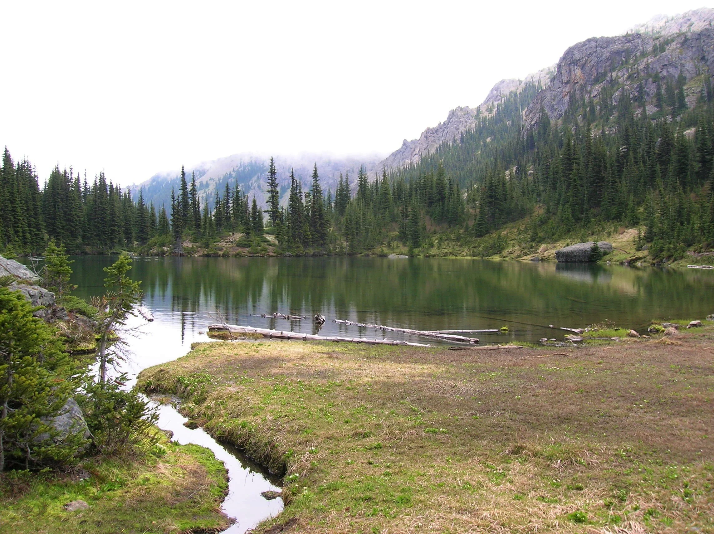
Located within the Olympic rain-shadow, the Buckhorn receives ample sunshine and consists of a much drier landscape than points south and west. Lakes are rare in this wilderness. Silver Lake is one of the few gracing the region. It provides an oasis for wildlife and serves as an excellent destination for hikers.
There are two ways to reach Silver Lake. The shorter route is via Silver Creek. This route was never officially built, involving instead from a well-trodden user built boot path. It’s rugged in spots and to reach it involves a long rough dirt road from the north. The official trail starts high on the southern shoulder of Mount Townsend. It involves more effort to hike due to its length and elevation gain—but it’s well-built and highly scenic. And the approach to it is by a primarily good paved road.
Nearby Mount Townsend—one of the most popular hiking destinations in the Olympics keeps most hikers away from these trails, leaving Silver Lake a much quieter destination. In early season wildflowers give an added bonus to the official route—but lingering snow can make it tricky.

"Fall is the perfect time to visit Silver Lake with the added bonus that its resident biting insects have gone the way of the early blossoms."
Start your hike from the upper trailhead for the Mount Townsend Trail. Follow this well-worn & popular path through stately groves of firs and hemlocks adorned with Pacific rhododendrons. In late May and early June, the rhodies add an array of dazzling colors to the surrounding verdant cloak. The trail steadily climbs. Shortly after entering the Buckhorn Wilderness, the forest cover thins and views east emerge. Cross several cascading creeks and continue working your way upward. The trail switchbacks more than two dozen times.
The way crests a small knoll arriving at Camp Windy, which usually lives up to its name. Look below to tiny Windy Lake, not much more than a buggy pool most of the year. Then continue climbing coming to a junction at 3.0 miles.

Here most hikers will continue right to ascend the open summit of Mount Townsend. You want to head left on the trail less traveled. Your climbing isn’t yet over however. Muster up a little more energy and reach a small gap on a high ridge separating Mount Townsend from the Welch Peaks. Take a break and look back east for a great view of Windy and Sink Lakes directly below. Then face west and enjoy a sweeping view of the Silver Creek valley. Silver Lake however is not visible. It’s hidden behind a small wooded knob to the south.
Now resume hiking crossing a steep slope that comes alive with blossom in the summer. Via a couple of long switchbacks the way descends more than 600' into the valley. Be sure to save some energy for the return hike, as you’ll need to regain that elevation. At 4.6 miles reach a junction in the forested valley. Here the Silver Lake Way Trail descends northwest following alongside Silver Creek. Continue straight, soon coming to Silver Creek.
Hop across the creek and start climbing again following the creek to its source.

At 5.4 miles reach Silver Lake in a semi-open bowl flanked by craggy peaks and ridges. It’s a tranquil spot where soft breezes often leave rippling signatures on the lake’s surface; and the raucous calls of Clarks nutcrackers (more common east of the Cascade Crest) often break the silence.
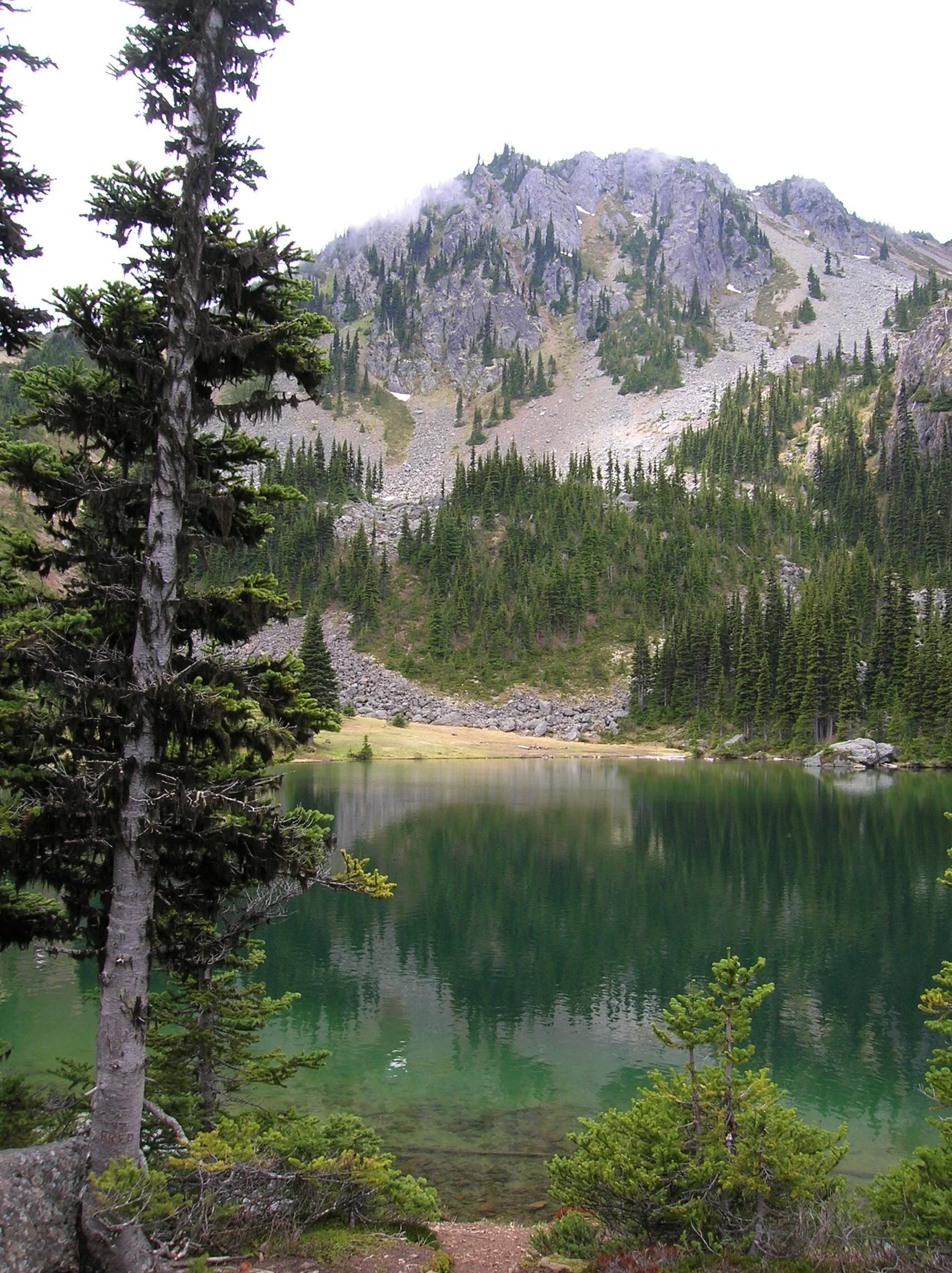
Find a shoreline rock and stay for a while. However, if you have some energy left, a steep half mile path to the south may entice you to follow it. It leads to a gap on a ridge high above the Big Quilcene River where you can stand mouth agape staring out at hulking Mount Constance towering over craggy ridges and deep emerald valleys.

Craig Romano is an author of more than 20 hiking guidebooks including the bestselling Day Hiking Olympic Peninsula 2nd Edition (Mountaineers Books), which includes descriptions for 136 hikes throughout the Olympic Peninsula. He is a regular contributor to Explore Hood Canal. Also check out his list of 25 Olympic Peninsula waterfalls at waterfalltrail.org.
Silver Lakes Notes
Distance: 10.8 miles round-trip
Elevation Gain: 3275 feet (High Point: 5675 feet)
Difficulty Loop: difficult
Snow free: mid-June to early November
Trailhead Pass Needed: Northwest Forest Pass or Interagency Pass
GPS waypoints:
Trailhead: N47 51.385, W123 02.153,
Silver Lake: N47 50.686 W123 04.247NW Forest pass required; Wilderness rules
Land Agency Contact: Olympic National Forest, Hood Canal Ranger District, Quilcene, (360) 765-2200; fs.usda.gov/olympic
Recommended Map:
Green Trails Olympic Mountains East 168SRecommended Guidebooks: Day Hiking Olympic Peninsula 2nd edition (Romano, Mountaineers Books)
Trailhead directions: From Quilcene drive US 101 south for 1.5 miles and turn right onto Penny Creek Road. After 1.5 miles bear left onto Big Quilcene River Road (Forest Road 27); which eventually becomes paved. Continue on FR 27 for 13.7 miles and turn left onto FR 27-190 reaching the trailhead in 0.7 mile.
Tips for safe and healthy hiking during the Covid-19 Pandemic
We all must do what we can to prohibit the continual spread of this disease. We can do that by adhering to the following while we enjoy our trails:
• Avoid crowded hiking destinations. If you arrive and the parking lot is already full, head to another location
• Opt for weekdays over weekends to hit the trail
• Hit the trail early morning before others arrive
• Avoid hiking in large groups outside of family
• Practice Social Distancing while on the trail, giving other hikers room to pass and keeping your distance from them at lakes and summits.
• Wear a mask when encountering others on the trail. A buff or bandanna works well.
• Pack hand sanitizer
• Pack it in pack it out
• Don’t be a surface pooper. Poop properly in the woods by always using privies first if available-or by heading at least 200 feet away from all trails, campsites and water sources and digging a cat hole for your business. Bury waste and TP.
• Pack out all pet waste.
Six Mountain Bike Zones to Check Out Around Hood Canal
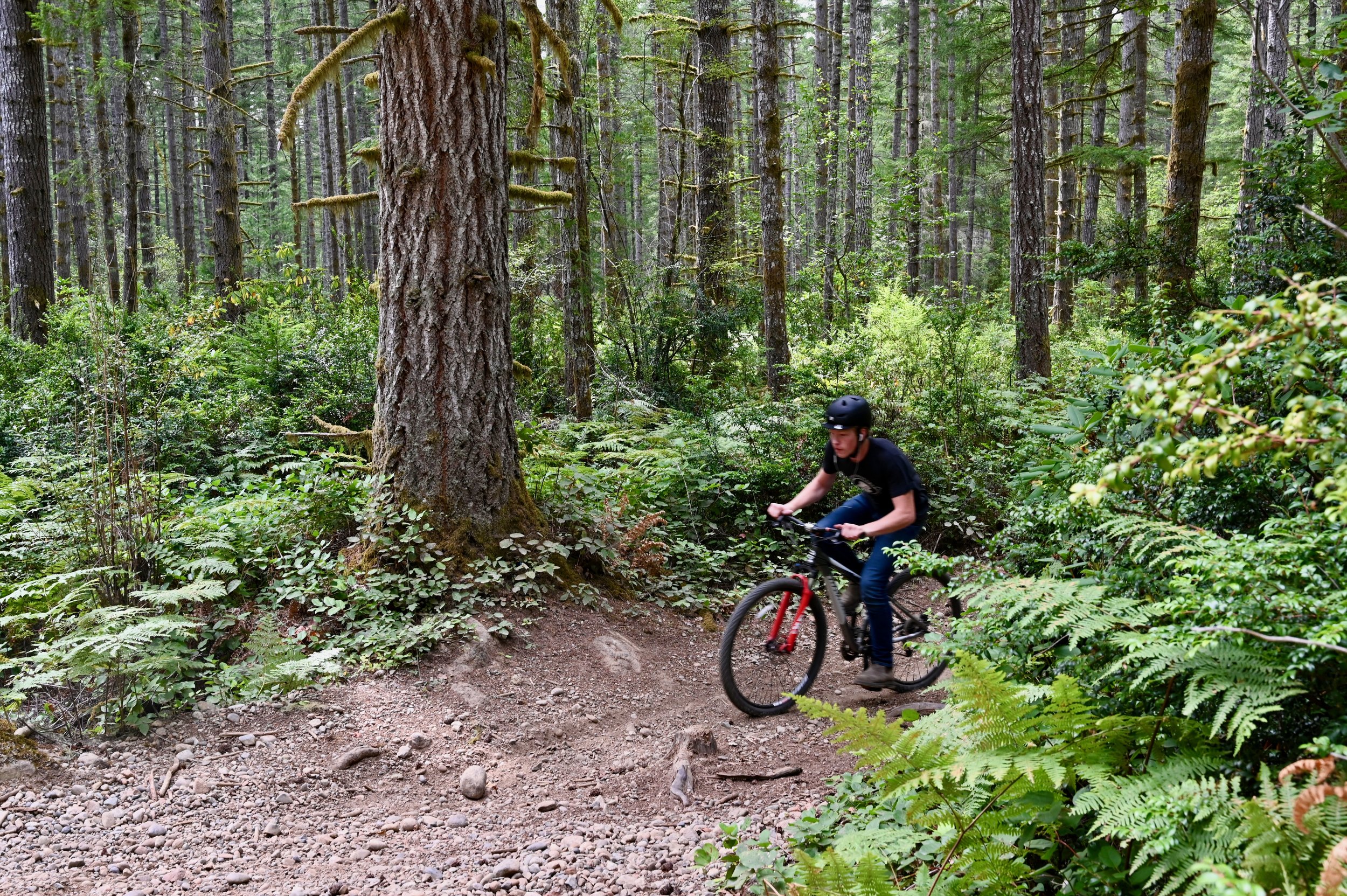
While popular mountain biking trail networks like Seattle, Port Angeles, and the Capital Forest network dot the outskirts, a circumnavigation of the Hood Canal will uncover some local favorites and family-friendly riding.
While popular mountain biking trail networks like Seattle, Port Angeles, and the Capital Forest network dot the outskirts, a circumnavigation of the Hood Canal will uncover some local favorites and family-friendly riding.
These zones can be accessed by day trip from a home-base picturesque cabin rental on the water or through more of a nomadic road trip utilizing campsites as you go. Whatever your style of travel, family needs, or riding goals a fully customizable mountain bike-centric trip can be found here.
While these six areas are predominantly beginner and intermediate trails with the occasionally rowdy advanced downhill track, within an hour from any one spot, there is an abundance of variety in both the trails and scenery.
#1. South Fork Skokomish Trail
The South Fork Skokomish Trail wanders beautifully through old-growth forest as it crosses its namesake river and several streams along the way while climbing gently for the first two miles.

Beyond that, it continues up at a steep grade as the trail rises above the river valley. Another five miles along, the trail ends at the Olympic National Park boundary. This is a great spot to catch your breath before enjoying the exciting downhill that you’ve earned.
The Lower South Fork Skokomish Trail heads nine miles in the opposite direction. This section tends to be less maintained but if you’re up for an adventure it is worth the challenge. The trail takes you through more stunning Olympic National Forest old-growth and roughly a mile in from the northern trail entrance, it fords a river that can only safely be crossed between August and early October. Despite the challenge of added brush and fallen trees, this section of South Fork Skokomish Trail has far less elevation to contend with than the upper and it can be shuttled as it has parking at both ends.
For a list of Lodging in this area, click here.
2. West Shelton

The West Shelton trail network has nine miles of cross-country trails that can be accessed from the heart of Shelton. Nearly all the trails are rated green and while there are a few punchy climbs, there is no sustained elevation for beginner riders to worry about.
Flowy trails like Au Natural, She’s a Pitch, Single Track, and Tie In, tend to have flowy sections, pitchy climbs, and some gentle flats. A few, especially the aptly named Sometimes a River, can turn into small streams after a good rain but generally, this area makes for great year-round riding. To view the network of trails available in Shelton, visit trailforks.com/region/shelton.
Both Union and Shelton would be convenient home bases to explore this trail network.

3. Green Mountain
A 22 mile network of mostly beginner and intermediate multi use trails with a couple of advanced downhill routes in the mix. There are two trails heads, Gold Creek and Wildcat, on opposite sides of the mountain that both lead to the Vista Summit and fun descents. Climbing up the sometimes rocky and loose Wildcat Trail will give you a challenging 1100 feet of gain in 4.5 miles and deliver stunning views of Bremerton and Seattle. On particularly clear days, riders will also be treated to Mt. Rainier and Mt. Adams too. While the trails here are primarily categorized as cross-country, there is quite a bit of variety to be had. Wildcat Trail from the summit is loose and fast with flowy berms and plenty of tech available. For those looking for a long and more challenging climb on an out-and-back that delivers a speedy and fun descent on the return, Gold Creek Trail would be the best choice. But with the same elevation gain of 1100 feet, this time in just over 2 miles, riders need to make sure their legs are ready for the challenge.
Camping in the Tahuya State Forest or staying in one of the many lodging around Belfair would be a great option to make a weekend of exploring these trails.

#4. Forest Heritage Park

Port Gamble Forest Heritage Park offers 33.5 miles of everything from beginner to advanced all-mountain trails. The network is linked by non-motorized use logging roads and includes a range of tech and flow with a little something for everyone. Green rated trails like Outer Limits are easy cross-country trails with just enough variation to be great for teaching new riders. Clear Cut and Twisted Sister are other beginner trails that offer some fun corners and mostly flat terrain to learn on.
Intermediate trails include Ankle Biter, the longest climb or descent in the park depending on your direction; Derailed, a relatively new downhill trail with a few tabletop jumps and optional doubles; The Hood, a flow trail with berms and small optional jumps; and Forbidden Forest, a rooty and technical singletrack route.
Drop Tail is one of the few advanced trails here and is a short track that includes a few drops and bridges. The range for all abilities packed into this trail network is impressive making it an easy crowd-pleaser no matter who you’re traveling with.
#5. Lower Big Quilcene

This intermediate 6.2 miles of lowland forested trail offers a scenic pedal along the Big Quilcene River. Lush moss lines an old roadbed through a young forest before winding through massive old-growth cedars. Blooming rhododendrons add bursts of color to the forest greens in spring and summer. For anyone looking for a light bike-packing adventure, there is an established campsite just under 3 miles from the trailhead right on the banks of the river.
This trail can be ridden as a 12.4-mile out-and-back or a shuttle can be arranged with a pick-up at the FS Road 2750 exit.
For a list of Lodging in this area, click here.
#6. Gold Creek-Dungeness
Just a short drive up the forest service road from the Lower Big Quilcene trail is a huge trail network boasting 43 miles of multi-use trails connected by fire roads.


About the Author
Danielle Baker is a freelance writer from Squamish, BC. Her work can be viewed in FreeHub Magazine, Mountain Life, Red Bull Canada, Eskapee, Rocky Mountain Bicycles, Pinkbike.com, and many others.
Tunnel Creek Trail Hike
Olympic National Forest’s Tunnel Creek Trail lies just a few miles south of the popular Big Quilcene Trail. But unlike the Big Quil which leads to Marmot Pass, a high windswept wildflower-rich gap providing sweeping views—the Tunnel Creek trail travels mainly beneath a thick canopy of primeval forest.
Craig Romano | author
Olympic National Forest’s Tunnel Creek Trail lies just a few miles south of the popular Big Quilcene Trail. But unlike the Big Quil which leads to Marmot Pass, a high windswept wildflower-rich gap providing sweeping views—the Tunnel Creek trail travels mainly beneath a thick canopy of primeval forest. Lacking the wow factor of Marmot Pass, Tunnel Creek gets passed over by many a hiker. However, those who take to this trail less taken soon discover; Tunnel Creek offers plenty of delightful spots and some pretty decent views as well. And all without the crowds of Marmot Pass.
Hit the Trail

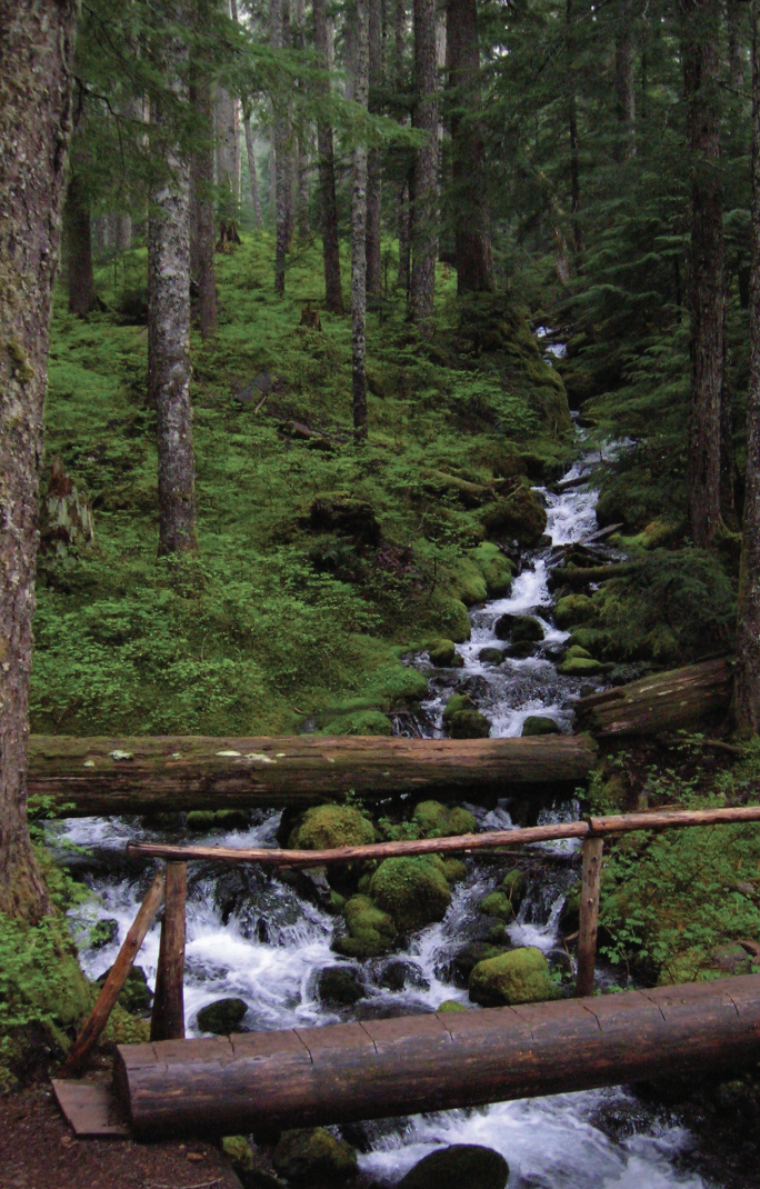
The Tunnel Creek Trail immediately enters the 44,258-acre Buckhorn Wilderness, the largest roadless area in Olympic National Forest. Much of the wilderness lies within the Olympic rain shadow encompassing some of the driest mountainous terrain in the Olympics. But here at the wilderness’s southern reaches, precipitation increases. And it’s noticeable immediately upon starting up the trail. The surroundings are verdant—draped in mosses and lichens. The trees are grand. And the valley is alive with the sound of cascading water.
Work your way up a tight valley following alongside tumbling South Fork Tunnel Creek through a tunnel of towering old-growth western hemlocks and Douglas-fir. The hike is magical, almost ethereal on a misty morning. And it’s welcoming on a sweltering summer day, as the ancient trees do an excellent job of regulating the temperature, providing some much appreciated air-conditioning.
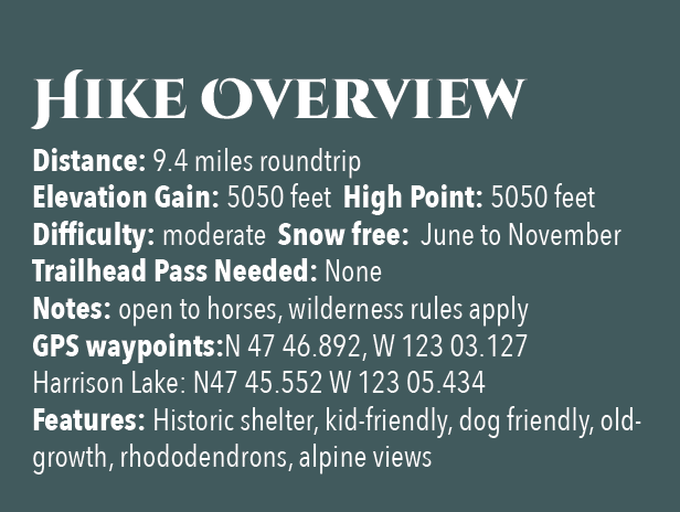
After 3.3 miles and gaining a modest 1500 feet of elevation, reach the still intact Tunnel Creek Shelter. A remnant from when this trail was much longer (before logging and roads obliterated much of it). In the early days of Olympic National Forest and Olympic National Park there were more than 90 trailside shelters in the Olympics. Many were developed through the guidance of Frederick William Cleator, who became one of the nascent US Forest Service’s first recreational specialists. Along with calling for trails, shelters, and fire lookouts, Cleator also advocated for a large portion of the Olympics to be left as wilderness, free from any developments.
The early shelters were meant to help administer the forest by providing rangers, trail workers and foresters a place to overnight while traversing the vast wild lands of the Olympics. But they were also welcomed by the few backpackers who plodded into the Olympic backcountry at the time. Through the years many of the shelters succumbed to fire, collapse and disrepair. And as recreational use increased and attitudes changed regarding land management, many hikers and land managers began to question the role of these structures in the wilderness. Under new directives many of the shelters were allowed to fall in disuse or were intentionally dismantled.
Many recreationists however continued to argue for the need of these shelters to provide emergency cover for backcountry users caught in severe weather. Many other recreationists including this author have argued to maintain the remaining shelters now numbering only around 20 as historically significant and preserve them as historic structures.
The Tunnel Creek Shelter is one of the last remaining in Olympic National Forest. Perhaps use it for a lunch break. Reflect on its long history and the role it has played providing refuge to many a wanderer on a cold and wet day. And help protect it from misuse. Beyond the shelter, the trail crosses via a log bridge the South Fork of Tunnel Creek and then gets down to business. They way now steadily and steeply climbs out of the valley ascending a thickly forested ridge. Eventually reach a small saddle in the ridge harboring two small bodies of water. The first is a small grassy pond known as Karnes Lake. Just beyond and a little higher up at 4.3 miles from the trailhead and at an elevation of 4300 feet is the more appealing Harrison Lake.
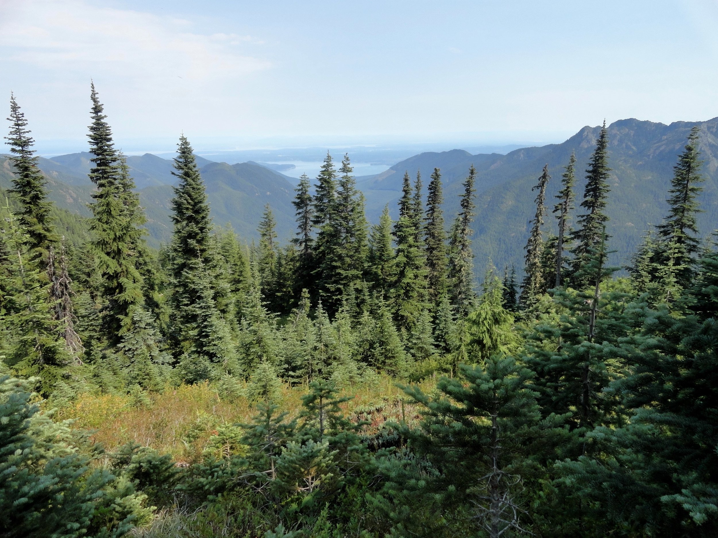
You don’t want to call it quits yet however. Conjure up a little more energy and continue hiking, ascending through open forest and over ledge coming to the 5050-foot ridge crest at 4.7 miles. Now take in an exceptional view of 7,743-foot (third highest peak in the Olympics) Mount Constance’s impressive sheer vertical east face.
You can scramble along the rocky ridge a little higher to better appreciate Constance’s towering presence, less than two miles away to the northwest.
For most hikers this is the turning around spot. But the trail continues from here making an insanely steep drop of more than 4300 feet in 3.6 miles to the Dosewallips River Road. It’s brushy in spots and easy to lose along the ridge. Otherwise it’s in decent shape down steep slopes and through old growth and past a small waterfall at Gamm Creek.
f you can arrange a car shuttle consider hiking out this route. There are some good views down to the Dosewallips River valley and out to Hood Canal during the initial descent if you want to just wander a little way down the trail. Otherwise start heading back to the cool forests of South Fork Tunnel Creek on the much more agreeable trail back to your start.
The details
Land Agency Contact: Olympic National Forest, Hood Canal Ranger District, Quilcene, (360) 765-2200,fs.usda.gov/olympic
Recommended Guidebook: Day Hiking Olympic Peninsula 2nd edition (Romano, Mountaineers Books)
Trailhead directions: From Shelton follow US 101 north for 50.5 miles. (From Quilcene, drive US 101 south for 1.5 miles). Turn left (west) onto Penny Creek Rd. After 1.5 miles bear left onto Big Quilcene River Rd (Forest Rd 27); which eventually becomes paved. At 3.0 miles bear left onto graveled FR 2740 and follow for 6.9 miles
5 Paintings - Five Olympic Tales
A visit to the newly restored Hamilton-Worthington House in Quilcene, just might indeed leave you speechless. One of the final acts in this remarkable decade-long volunteer project by the Quilcene Historical Museum is the hosting of a painting collection by Northwest artists whose heydays coincided with that of the mansion.
“If you could say it in words, there would be no reason to paint.”
–Edward Hopper
Brian Cullen | Story
Background content on the painting collection provided by Allan Kollar.
A visit to the newly restored Victorian mansion, the Hamilton-Worthington House in Quilcene, just might indeed leave you speechless. One of the final acts in this remarkable decade-long volunteer project by the Quilcene Historical Museum is the hosting of a painting collection by Northwest artists whose heydays coincided with that of the mansion.
The sixteen painting collection is on loan from Allan and Mary Kollar of A.J. Kollar Fine Paintings, LLC. Both Allan and Mary, volunteers since 2011, share a commitment to the cultural and educational mission of Worthington Park. They are also in large part responsible for the historical furnishings in the mansion.
“We would like to thank the Kollars for the loan of these lovely paintings and for the amazing support they have given the project since 2011.”
Chair of the Museum, Christine Satterlee.
In 2021 the Museum is exploring ways now to showcase the mansion interiors, including this extraordinary art collection, to the public. What follows are five representative paintings culled from the collection for their significance.
Women artists of the 19th and early 20th century had an uphill battle in a world of practicing artists. The Academies were founded by men. The exhibitions were judged by men. Women had to rise above the norm to break into art establishments. The Hamilton-Worthington House is exhibiting four paintings by three women artists of the period: Abby Hill, Harriet Beecher, and Eliza Barchus. Two of those artists’ works are profiled below.

Abby Hill, Cedars Above Trout Lake, Mt Adams
Photo: Jeff Childs
Abby Hill (Am. 1861-1943)
Cedars Above Trout Lake, Mt Adams
Abby Hill moved to Tacoma, Washington from Iowa in 1889. She exhibited her art in the 1893 Columbian Exposition at the Chicago World’s Fair, the 1904 World’s Fair in St. Louis, the 1905 Lewis & Clark Centennial Exposition in Portland, and in many other national art exhibitions. She won two gold medals in the 1909 Alaska-Yukon Pacific Exposition in Seattle. Her great fame was established by her numerous landscape commissions from the Northern Pacific and Great Northern Railways to promote tourism. She left her personal painting inventory to the University of Puget Sound in Tacoma, WA.

Harriet Foster Beecher, Pondering, 1895
Photo: Jeff Childs
Harriet Foster Beecher (Am. 1854-1915)
Pondering, 1895
Harriet Beecher moved from Indiana to San Francisco to study at the School of Design. She moved to Port Townsend in 1880, and later moved to Seattle in 1893. Beecher was considered one of the most noted female artists of the 19th and 20th century in America. She was one of the first women artists to be selected to serve on the Panama-Pacific International Exposition’s Advisory Board. Her works were exhibited nationally and she was the recipient of numerous awards.
This romantic young lady in an interior, represents a signature work of the Victorian Era in America. The sitter’s formal dress is a sign of classic upper-middle class. The writing desk as a symbol of communication, and the roses, a symbol of love, present us with a young woman pondering a possible suitor.
In addition to these outstanding works by regional women artists, there are also several notable paintings in the collection by their male colleagues, Paul Morgan Gustin.

Paul Morgan Gustin, Mount Olympus, Cascade Range, WA, 1923
Photo: Jeff Childs
Paul Morgan Gustin (Am. 1886-1974)
Mount Olympus, Cascade Range, WA, 1923
Paul Gustin was born in Fort Vancouver, Washington. He was a painter and printmaker of Northwest landscapes. His work has been exhibited in New York galleries, the Art Institute of Chicago, the Pan-Pacific International Exposition in the San Francisco (1915), Pennsylvania Academy of Fine Art, the Corcoran Gallery in Washington, D.C. as well as the Seattle Art Museum. He taught at the University of Washington in the 1920’s. He has murals in many Northwest buildings.

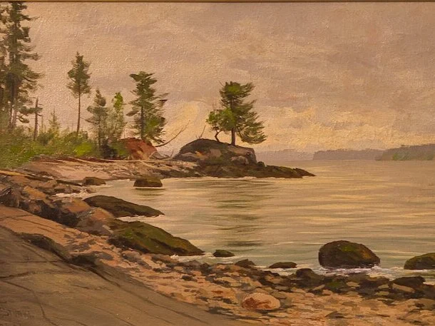
James Everett Stuart, Windy Point Hood Canal, 1891
Photo: Jeff Childs
James Everett Stuart (Am. 1852-1941)
Windy Point Hood Canal, 1891
Stuart painted several paintings in the Hood Canal area in 1891. He started painting at eight years of age. He titled and dated his work on the reverse of his canvases, and is reported to have painted over 5,000 landscapes, many in the Pacific Northwest. He was the grandson of America’s famous 19th century portrait painter Gilbert Stuart, and his paintings have appeared in the White House.

William Samuel Parrott, Northwest Territory
Photo: Jeff Childs
William Samuel Parrott (Am 1844-1915)
Northwest Territory
Parrott was considered one of the most accomplished artists of the Northwest. He opened his first studio in Portland, Oregon, in 1867. In 1887, he closed his studio and painted in the woodlands of northern California, Oregon, and Washington.
He moved to Klickatat, Washington, in the 1890’s, but exhibited widely in New York City, Paris, and London. He eventually settled in Goldendale, Washington, where he spent the rest of his life painting the beautiful Northwest. He did not sign many of his donated paintings as he wanted his style and imagery to speak for itself.

Christina Satterlee, Quilcene Museum Chair
Worthington Park Mansion
Quilcene, WA
Visit worthingtonparkquilcene.org to learn about the Worthington and Hamilton families and their legacies, how the estate came to be acquired by the Quilcene Historical Museum, and view images of the extensive restoration of the mansion to its original architectural style.
Quilcene, on the edge of Hood Canal, is a great place to begin your fjord explorations. Besides the museum and extensive grounds (which incidentally host some great events all year when its not COVID climate) there are restaurants, shops, a bank, and a great community spirit which is evident around every corner.
Head south to summit Mt Walker and then descend on a fantastic entrance to a view of Hood Canal. Mt. Walker is the only peak facing Puget Sound that has both a road and trail to its summit. The trail is easily accessed year-round, though the summit road is subject to seasonal closure. At the summit there are picnic tables and restrooms available.
Places to Stay Nearby

Eldon House, Waterfront on Hood Canal | Lilliwaup, WA
Disconnect from the world with stunning views from the large two story windows and large new deck with stairs down to the beach. Check availability

Cozy A-Frame Cottage near Lake Cushman | Hoodsport, WA
Nestled the forest in small friendly community just three miles from Lake Cushman (and very near the Staircase entrance to the Olympic National Park), this updated sweet cottage is the perfect place to begin your Hood Canal adventure. Small on size but big on charm! Check availability

A winter roadtrip with just the right mix of nature and holiday
We have received so many calls lately regarding the perfect local roadtrip. A mix of natural sites to renew your spirit along with a dash of holiday cheer to lift your spirits. Here’s our top picks for a safe and fun day exploring Hood Canal.
We are all looking for something different to do with our cooped up familes this year. We have received so many calls lately regarding the perfect local roadtrip – a mix of natural sites to renew the spirit along with a dash of holiday cheer to lift the spirits.
Here’s our top picks for a safe and fun day exploring Hood Canal.
Let’s get started
We begin our Hood Canal Loop in Quilcene but you can join us anywhere along the way – whatever suits your travel direction.
Lunch in Quilcene, WA
Quilcene is a small town with a load of community spirit. Here you can pick up some great take out from a local restaurant or explore some of the quaint shops. Our favorites are the Quilcene Village Store and Fiber and Clay. Also high on our list is a drive by the Worthington Park Manor.
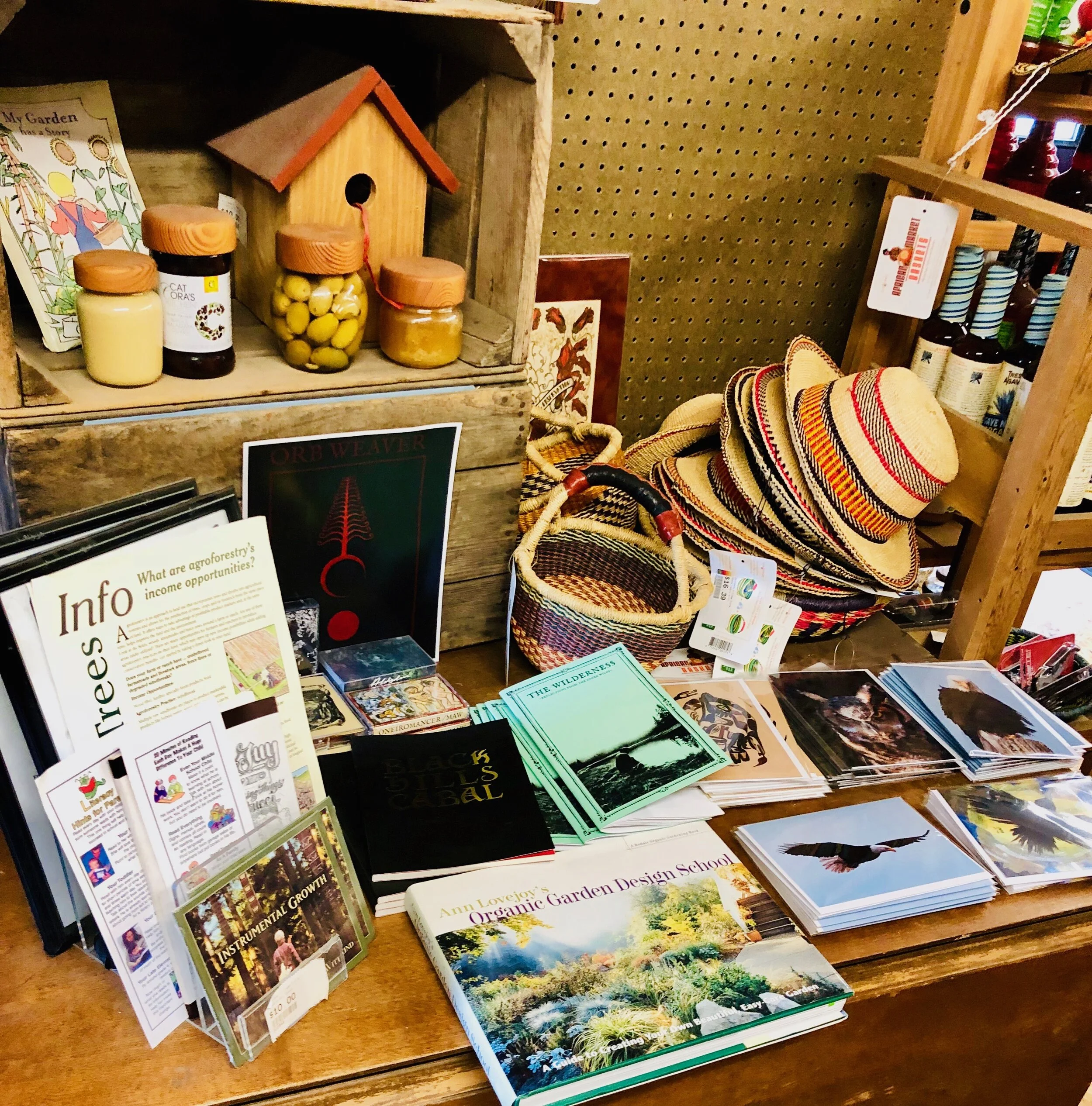
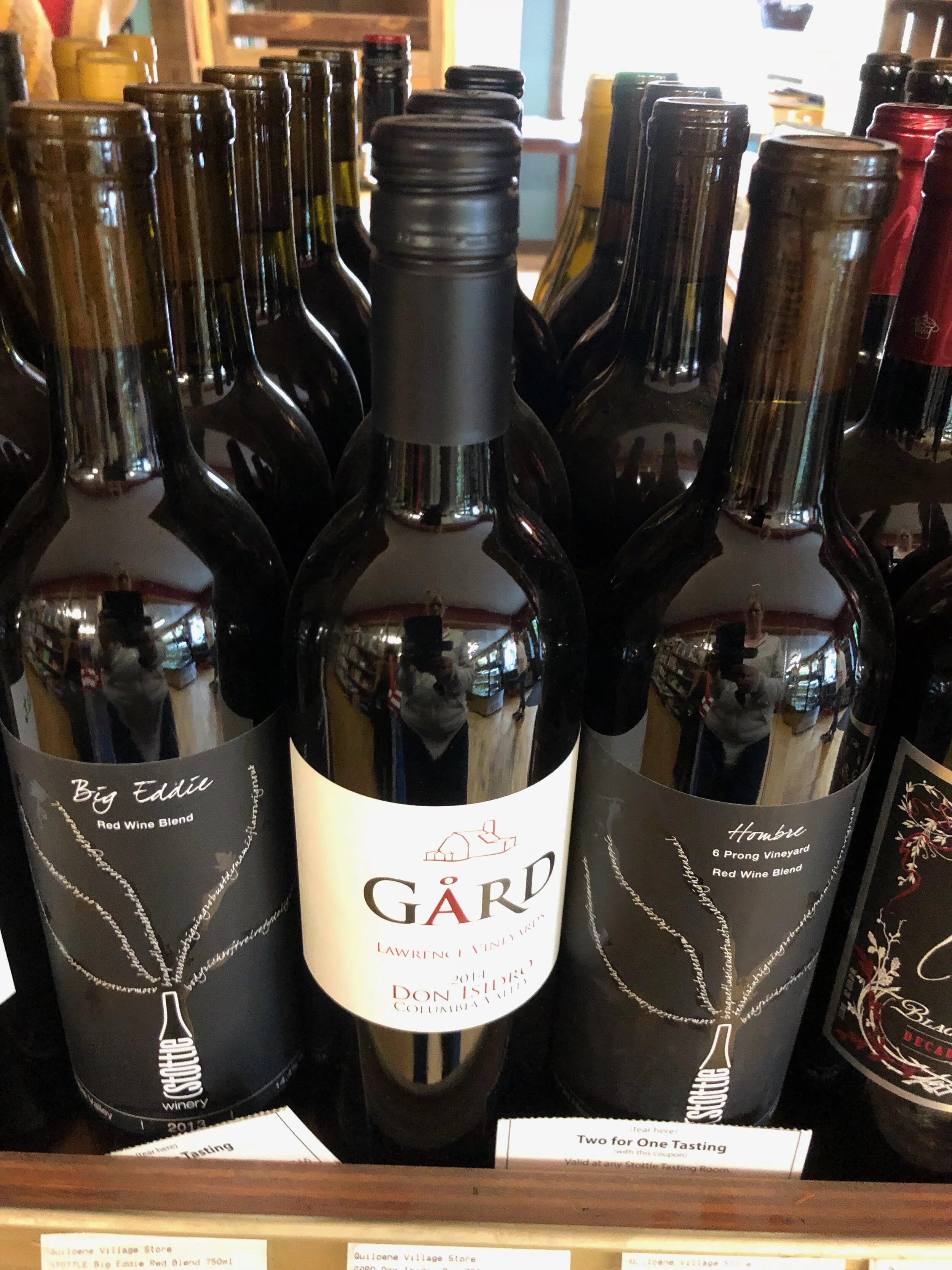

Gas, food, liquor, housewares, tea, coffee, snacks, locally baked goods, wonderful gifts, chocolates, gourmet treats and unique handmade locally sourced items.
Quilcene Village Store, Hwy 101
Heading south on Hwy 101 you will climb into the chance of roadside snow as you pass by the Mt. Walker outlook. The road up the mountain is closed right now for winter conditions, but many choose to park and hike to the summit.
On a clear day you can see all the peaks including Rainier, Baker and Seattle’s skyline. Our family loves to drive up in the Spring and see the wild rhododendrons along the journey.
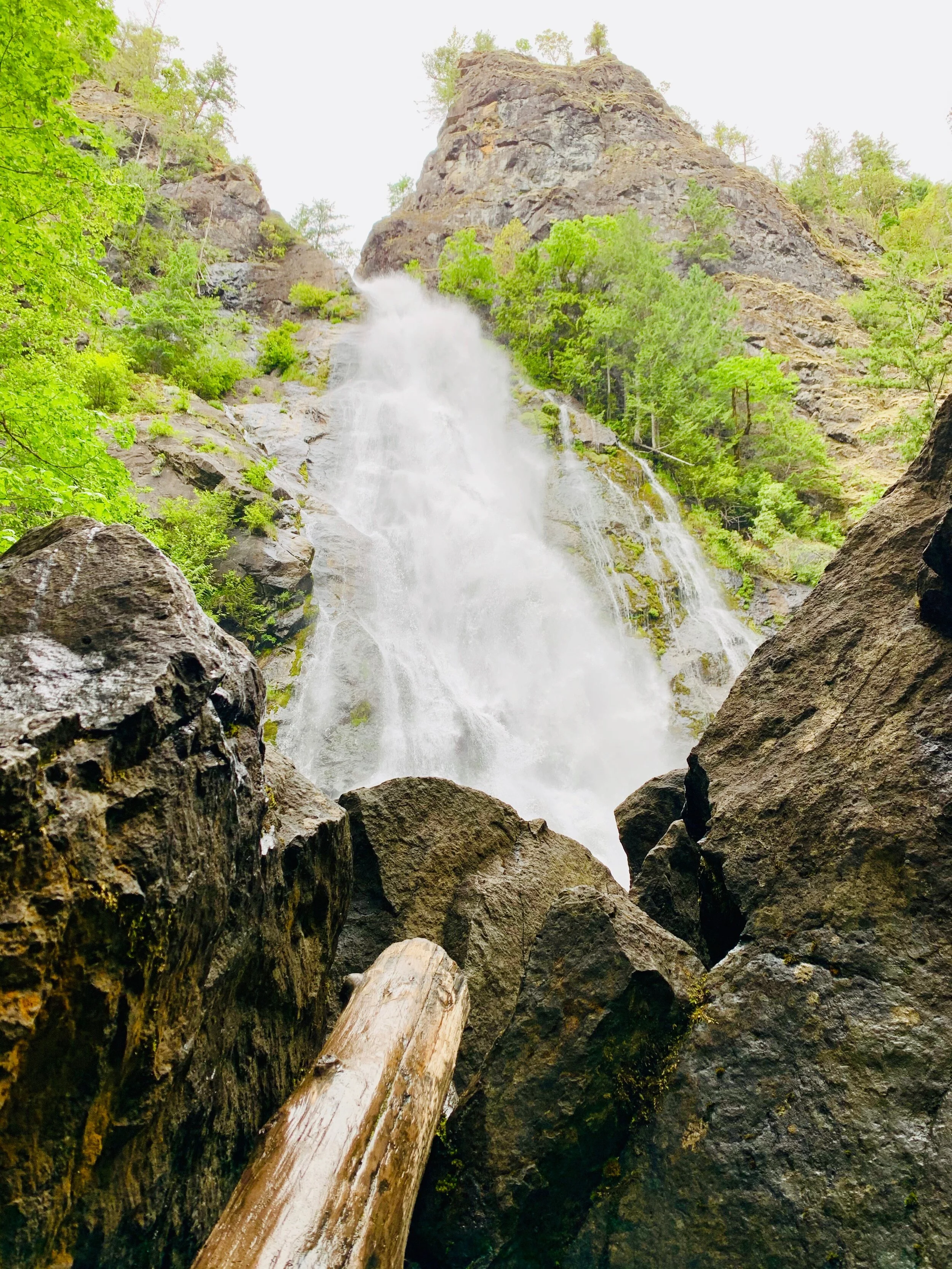
Rocky Brook Falls | From Brinnon at Milepost 306 on US 101, drive west on the Dosewallips Road for 3 miles to parking in turnout on your left just after bridge over Rocky Brook
2. Brinnon for the Road side Waterfall Stop
One of the tallest waterfalls on the Peninsula, Rocky Brook Falls is also among the prettiest. Follow the trail past a small hydroelectric generating building and come to the base of the stunning towering falls fanning over ledges into a large splash pool surrounded by boulders. This classic horsetail waterfall crashes more than 200 feet from a small hanging valley above. More information here
3. Not quite Reindeer, but pretty darn close
Just past Brinnon, and sometimes in the town of Brinnon itself you see the “reindeer” of Olympic Peninsula. Pass over the Dosewallips River, keep your eyes peeled for the herd of Roosevelt Elk that hang in this area.
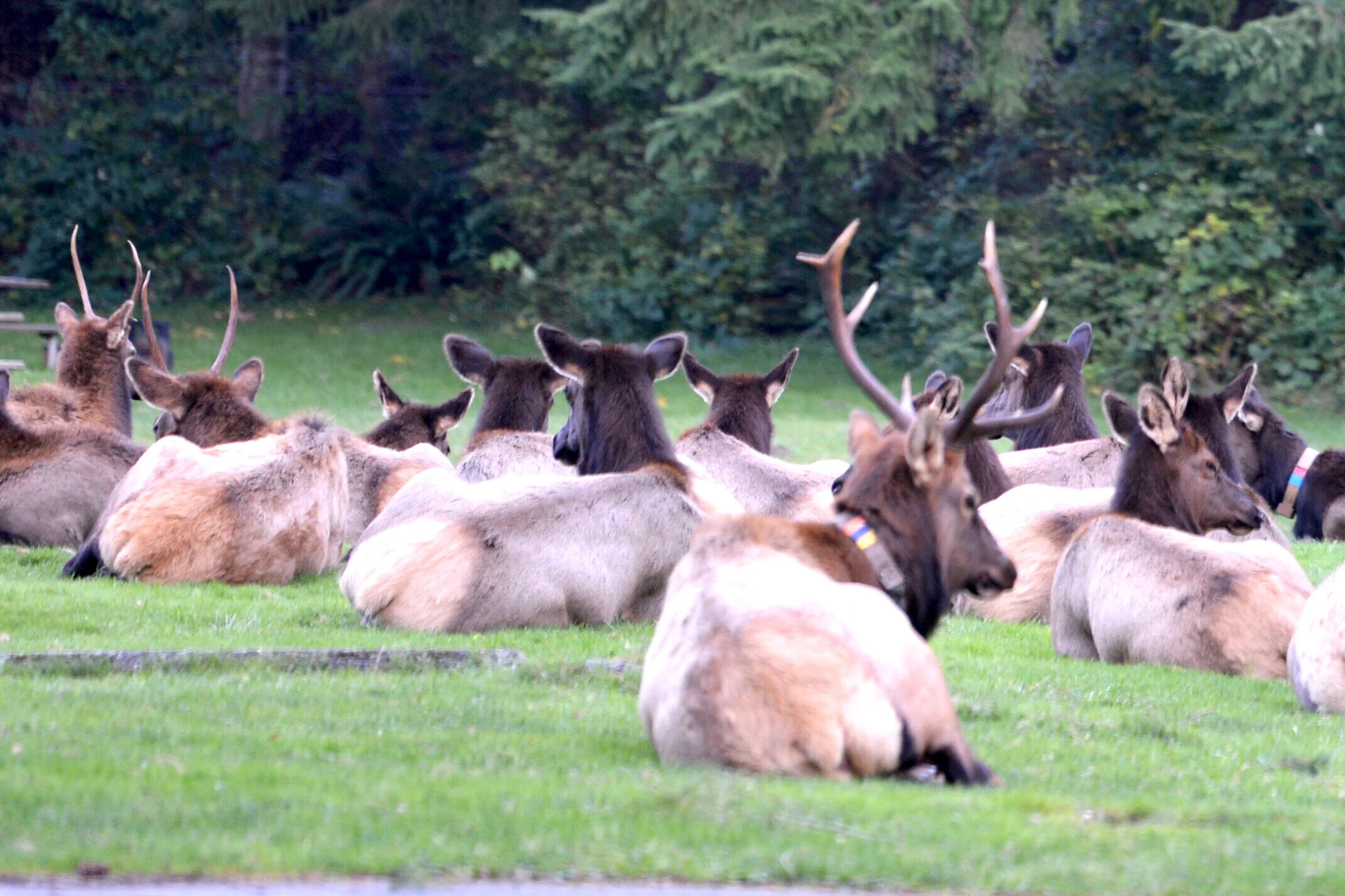
Swing into the Dosewallips Campground as they are often resting in the grassy areas here.
4. Hama Hama Oysters and Views
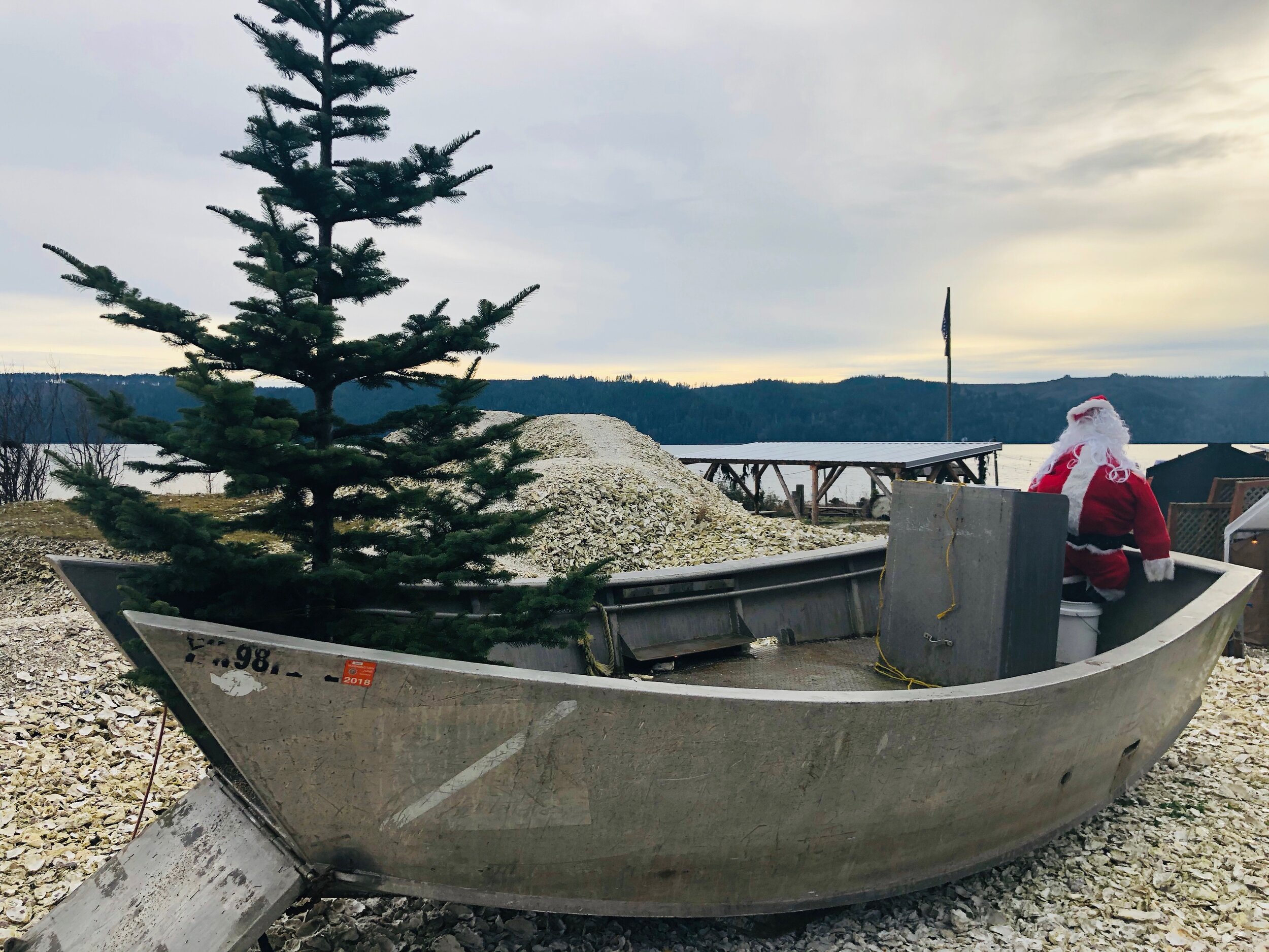
A visit to Lilliwaup would not be complete without a stop in at Hama Hama Oyster Co. We love how the Hama Team has completely pivoted operations to be safe and still loads of fun and great memories.
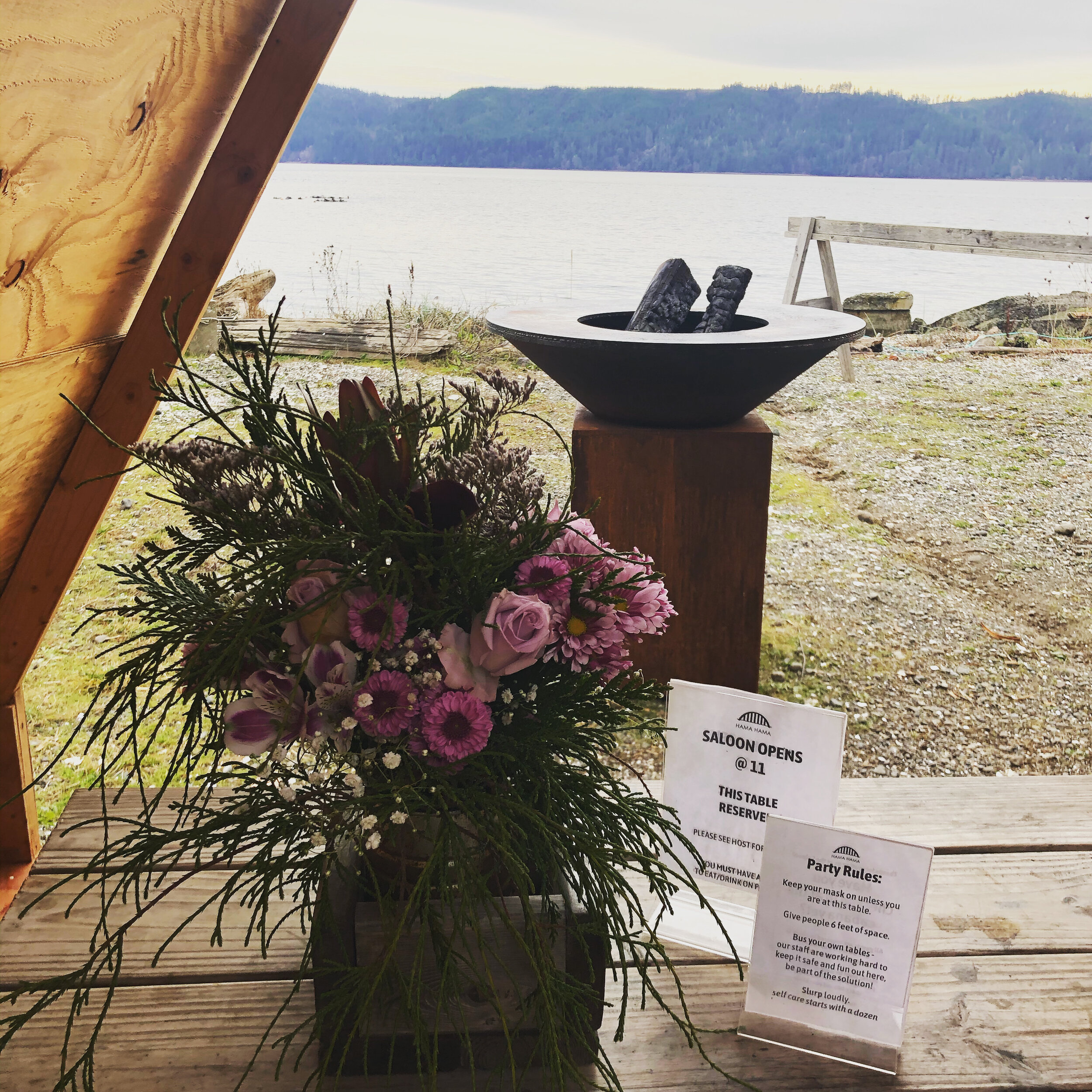
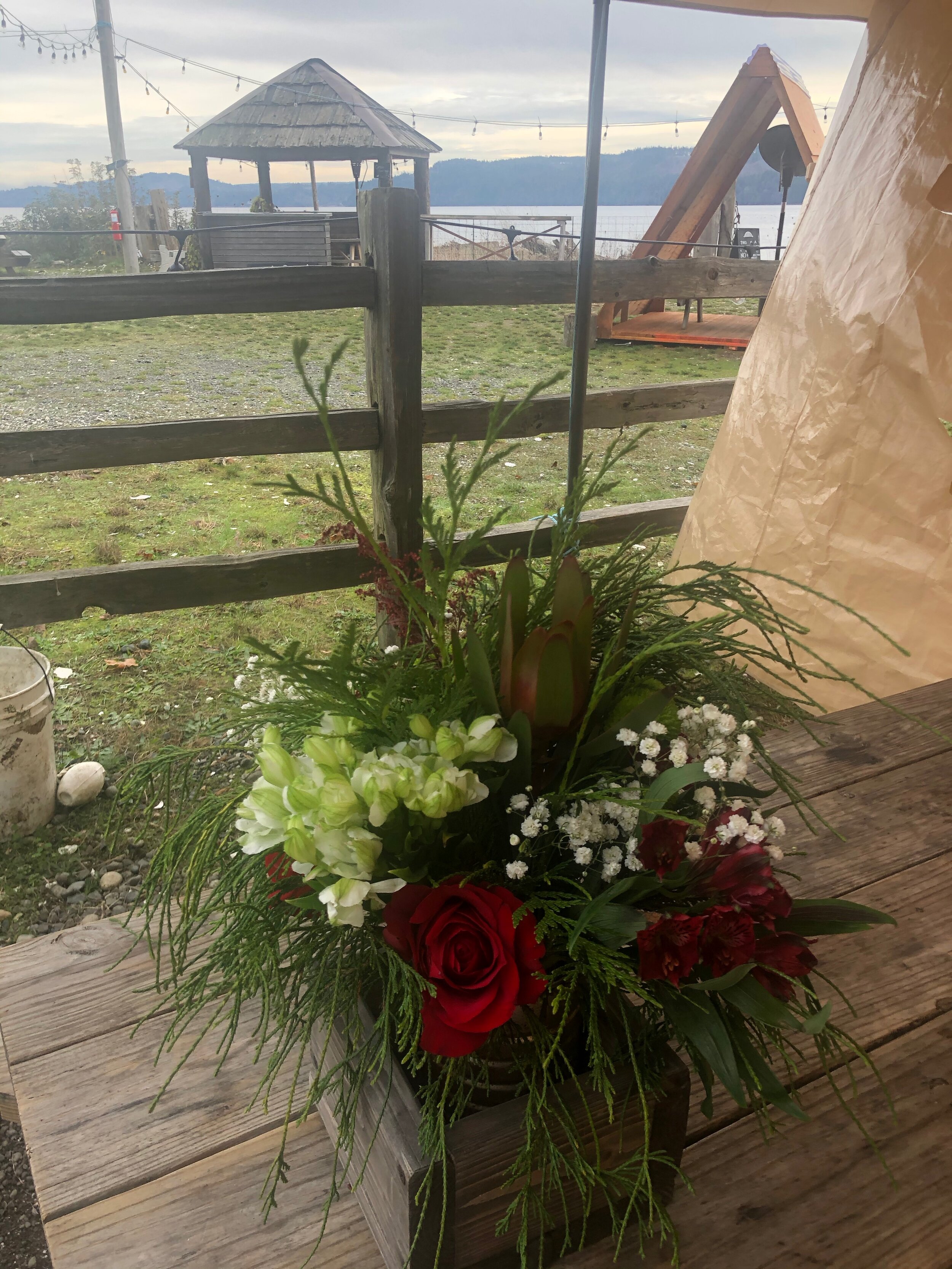
For the Saloon dining area they have created wooden a-frames over each distanced tables. Each with great views of the beach and access to the fire pits. Rain or shine, these cozy little pods make the perfect spot to wile away an hour soaking in the view. Enjoy grilled oysters or their famous crab cakes. The clams aren’t half bad either.
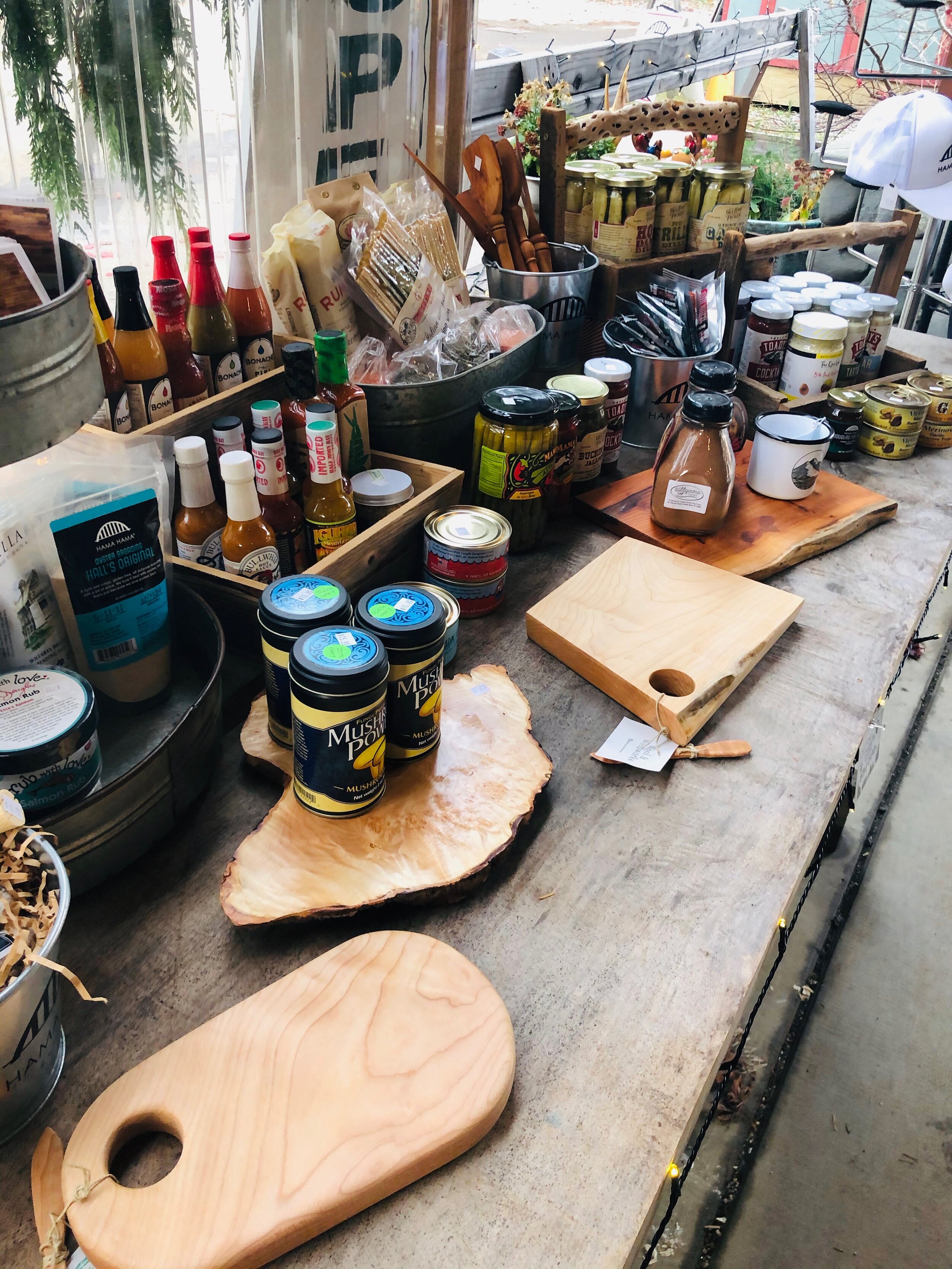
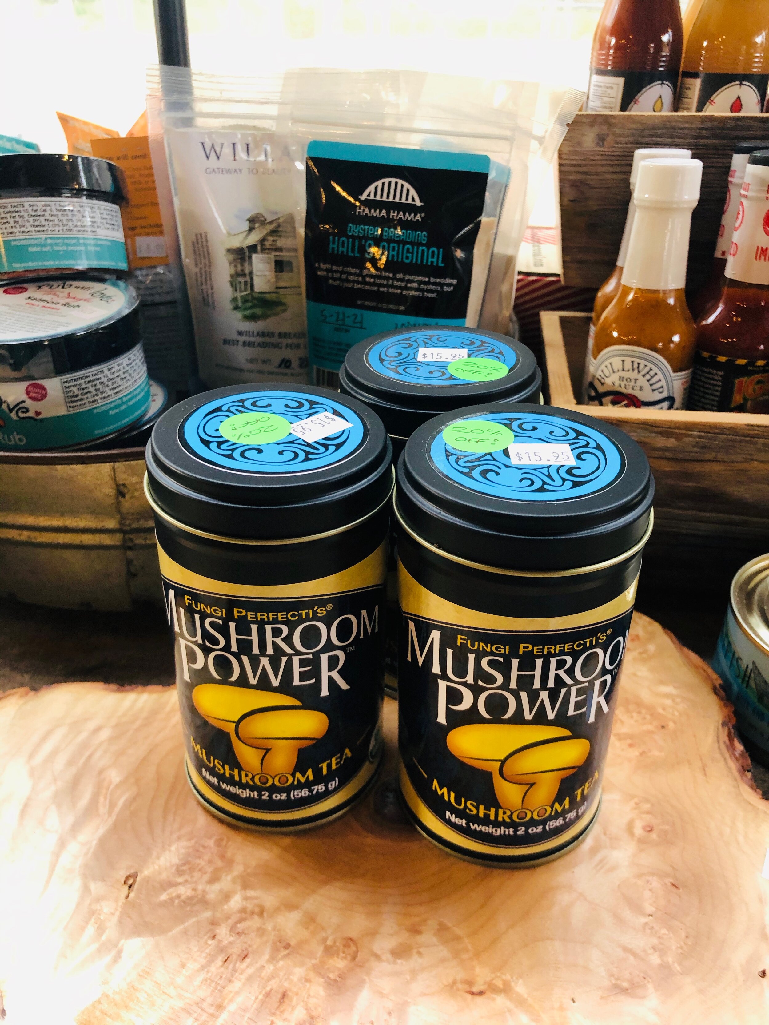
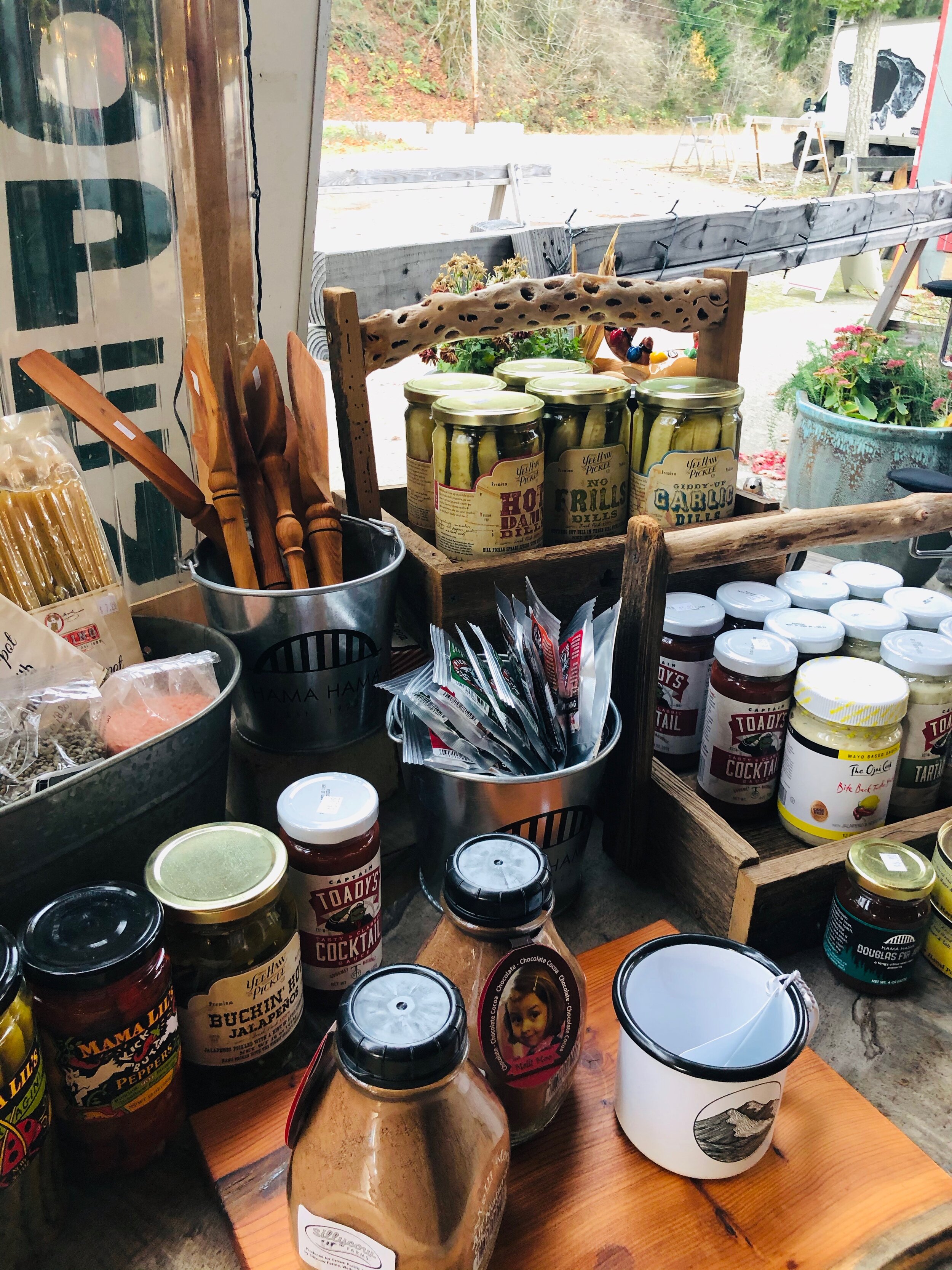
Shopping? Each day they set up the shop outside market style. You will find tons of unique gifts here.


5. Hoodsport Coffee and & Shopping
We love Hoodsport. This adorable seaside town is tiny on size but big on character.
You can easily lose an hour wandering the shops here. Pull over, grab a coffee at Hoodsport Coffee, they also serve sandwiches and homemade soups, and start wandering the “boardwalk.”
Visit the Sunshine Creations Gallery where local artists display their unique creations in a beautiful setting.
Head over to the Hardware Distillery. The moment you walk through the door to soak in the rich aromas — you know you have come to “the place.“ The holiday decorations are up and the shop is COVID ready for customers. In the shops there are gnomes and tree shaped bottles. At the Distillery, cocktail kits are available for your one-stop shopping.
Pay a visit to the Stottle Winery Tasting Room, they are currently open Fri – Sun 11 AM – 5 PM. Finish up with a wander around Octopus Garden. This cute little shop run by husband and wife team, Tim and Lucy, sells customized jewelry and watercolor paintings and other decorative items. I love their marine inspired hand made silver earrings and pendants. One of a kind and reasonably priced.
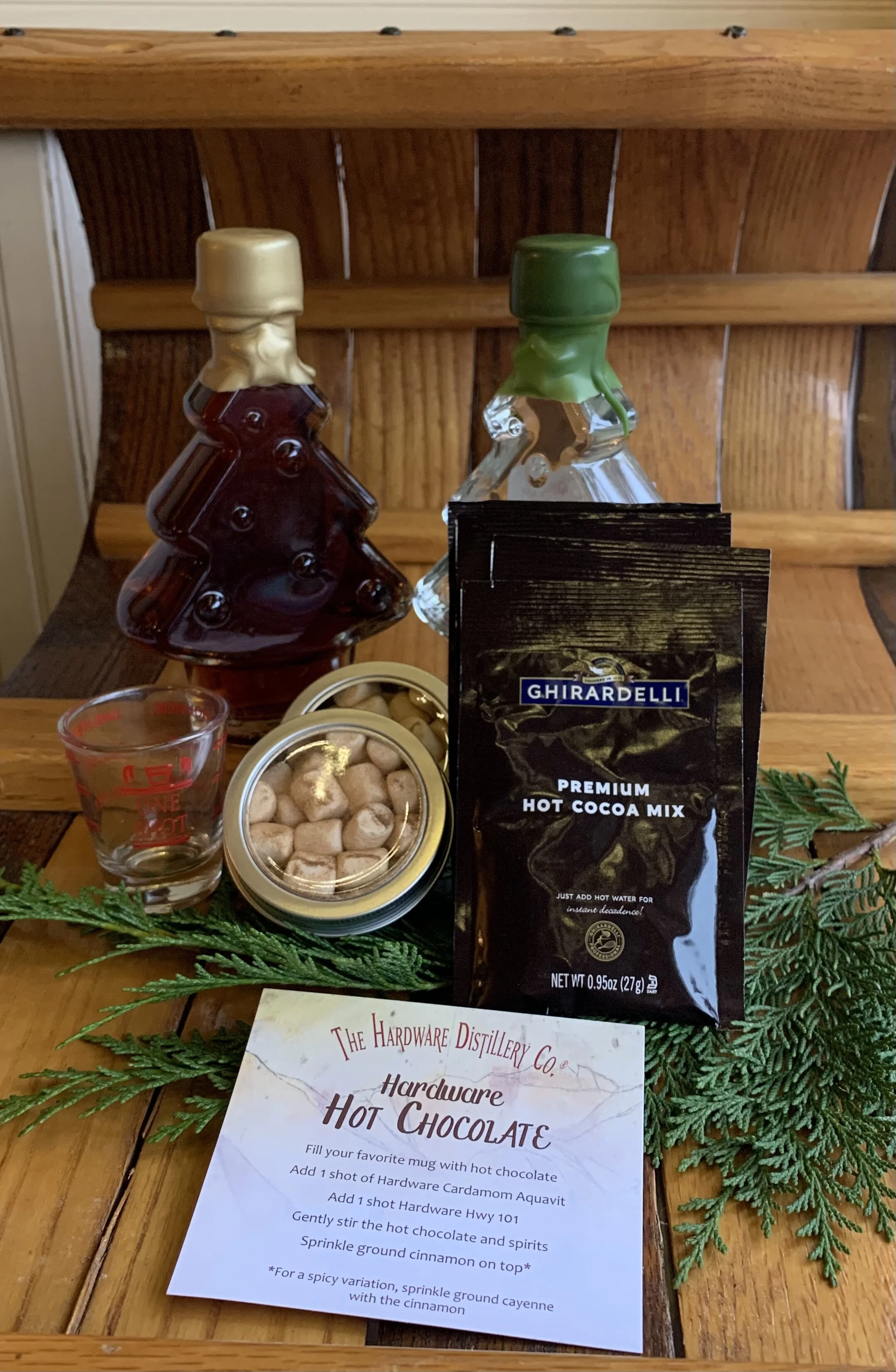
We love the Hardware Distillery Cocktail kits — what a great gift! Between $45- $65, these kits are all you need too satisfy the spirit lovers on your list!
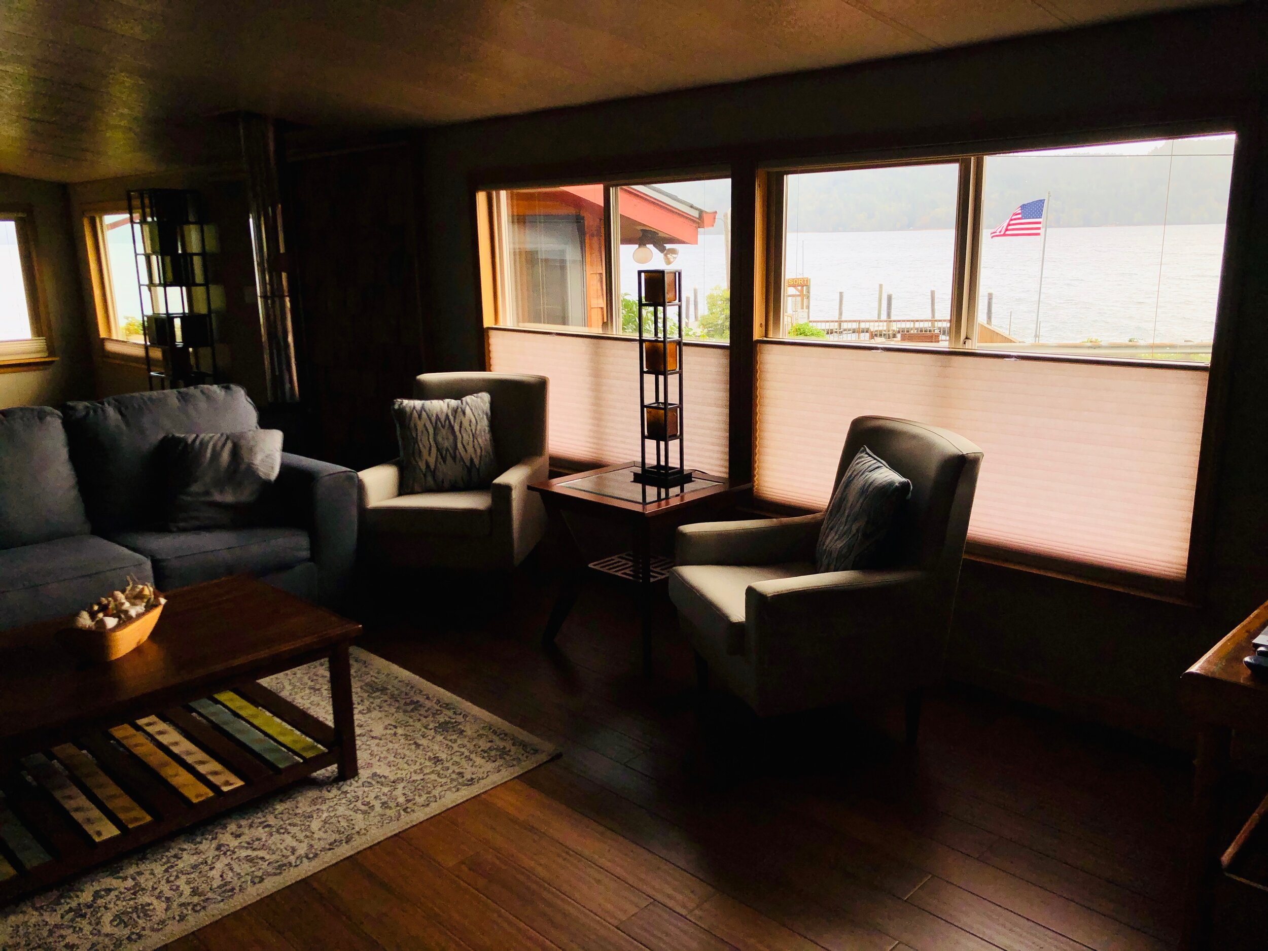
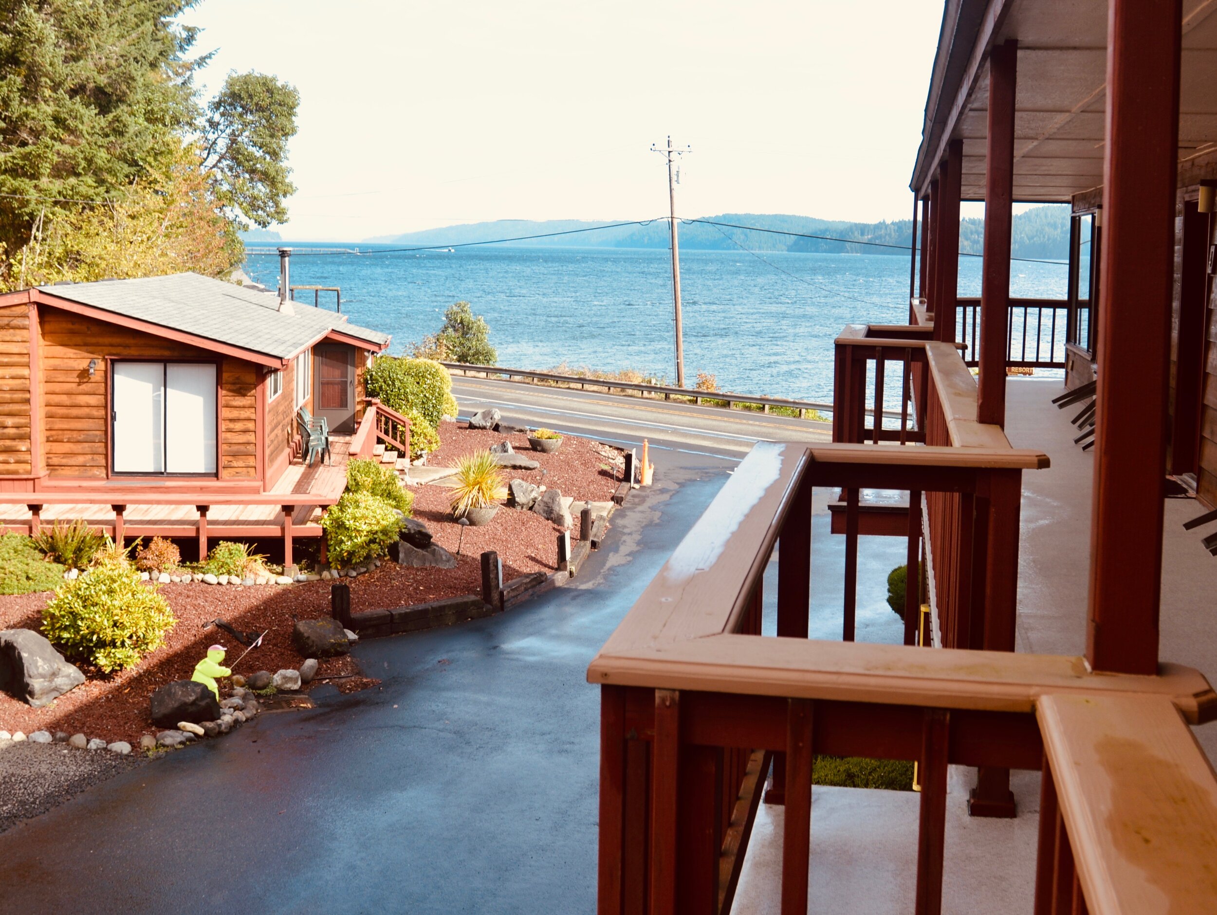
Just after Hoodsport is one of our favorite waterfront lodgings on the north side of Hood Canal. Glen Ayr Resort is located between Potlatch and Hoodsport and features a marina and fantastic views of Hood Canal from decks, cottages, and guest rooms. Enjoy diving, boating, fishing, and shellfish gathering right in the front yard! Facilities include a swim spa hot tub, a game room with a pool table, and a recreation lodge. Rates are reasonable the the resort facility is very clean.


6. High Steel Bridge for spectacular views
If you have time, take a detour to explore the historic High Steel Bridge that spans the gorge and sits a staggering 300’ above the mighty South Fork of the Skokomish River.
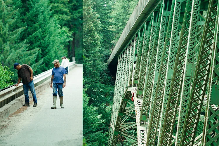
The vertigo-inducing High Steel Bridge has an uncontested view of the last cascade on the itinerary, Vincent Creek Falls, and is easily accessed from Hwy 101. It’s also a quick pit stop after an awesome wintery afternoon of mountain biking if you happen to visit the area on a dry-ish day.
7. Spectacular Olympic Views and Quaint Shops
Originally settled in 1893 with the construction of a hotel, wharf, sawmill, and store, the area was heralded as the ultimate destination for wealthy families in the Northwest. Centered around many resorts rooted in the natural beauty of the site, the establishment of a rich artistic heritage followed in the 1920's. Union holds the title of the first non-native artist colony in Washington state. Inspired by the amazing views, artists of all kinds flock to what is truly a beautiful town.
Stop in a the Union City Market. This adorable beach shop has everything you could possibly need to make a sumptuous gourmet gift. Every item is carefully curated - from the handmade beach glass decor to the full size wall paintings. On weekends their glorious waterfront pop-up cafe is open on the marina’s waterfront. The bites are delicious and the views are divine!
Nearby Cameo Boutique & Wine Shop has a unique and inspired selection of fun gifts for your mother, sister, best friend, – and, if all else fails – check out their great selection of wine!
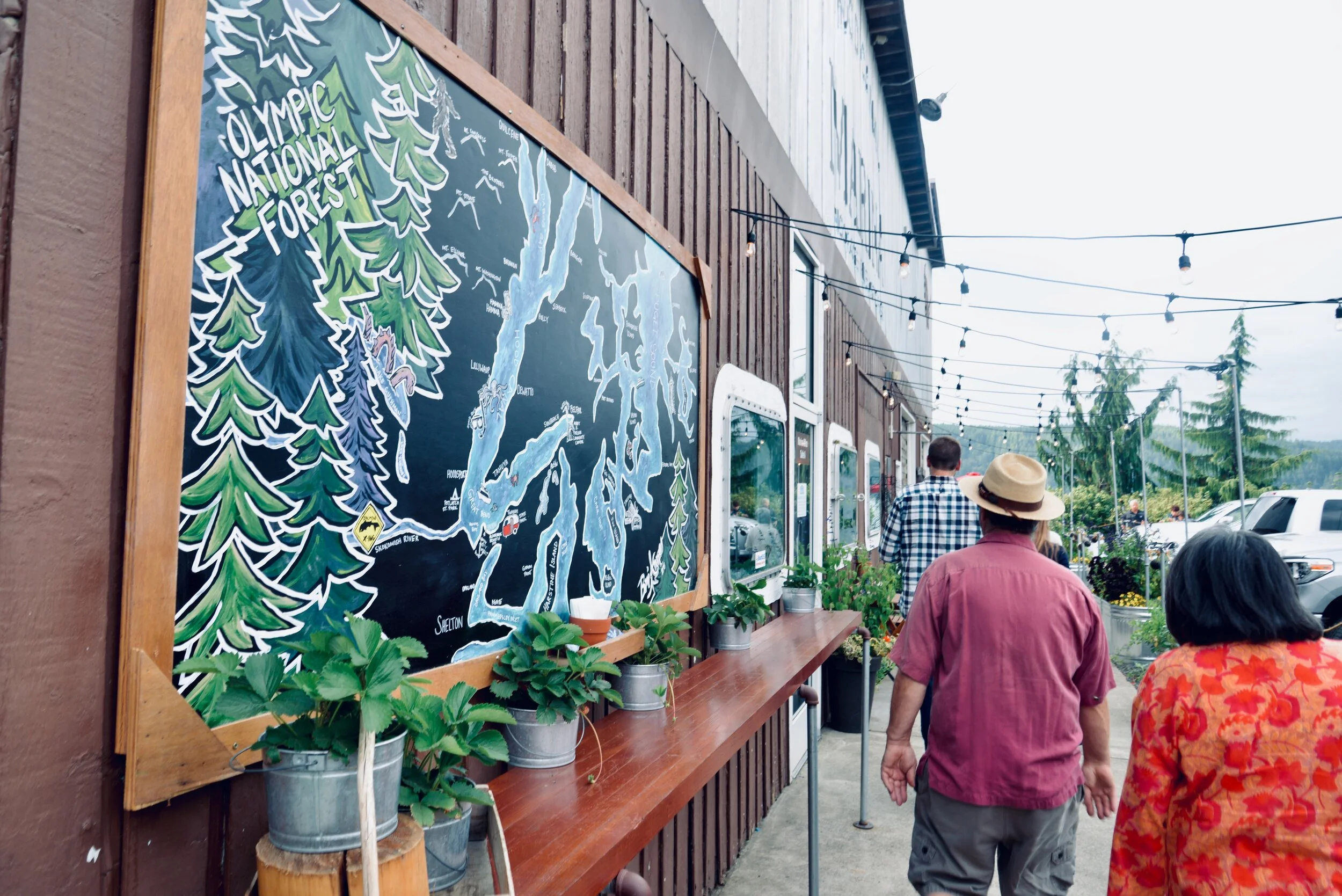
Waterfront Union City Market make a great Hood Canal Destination and “picture” spot with the backdrop of the Olympics.
Nearby Alderbrook Resort and Spa, one of the premier resorts in Washington State, is located on Hood Canal in Union. During the holidays, guests with reservations (closed to non-resort guests) enjoy holiday traditions with Santa and special events at the decorated resort. Make reservations today to enjoy your traditional, but non-traditional, event with Alderbrook!
8. Soak in the Spirit in Christmastown

Shelton is typically branded as a logging community. Railroad Avenue was built wide to accommodate logging trucks going down to the mill, but trees weren’t just cut to make into boards or pulp, Shelton was also known as “Christmastown, USA – the Christmas Tree Capital of America.” This year the town upped the spirit with live garland and cafe lights across the major intersections on Railroad Avenue.
Charlie Brown trees on the corners
Check out the quirky Douglas Firs on the corners. These little trees were donated by local logging companies (they were scheduled to be cut later in the spring in a natural thinning/harvest process). In the last week locals have begun decorating them. They are also free for the taking for families that can’t afford a tree this year.
Christmas has always been important to the timber town of Shelton. Located less than ten miles from Hood Canal on Hammersley Inlet, Shelton is serious about their Christmas tree roots. In 1962, to celebrate the Seattle World Fair, the town commissioned the retired Simpson Lumber shop artist, Clarence Beauchamp to build a three story Santa Claus to wave at visitors all year long.

32’ Santa Claus in Shelton | Jennifer Rutledge Photp
In 2019 the giant Santa was given a seasonal permanent location in the City of Shelton Outlook Park on Hwy #3 at the entrance to town. Thanksgiving through December, be sure to pull over in the outlook and get your family portrait. Free and COVID safe Santa photos!
Before the lights go on check out the quaint shops that line Railroad Avenue in the center of town but don’t miss the outlying treasures on Olympic Hwy (new town) or near Mason & Limerick. There is lots of opportunity to support small shop owners here. Check out the full gift list here.

9. This town is A-MAZE-ing
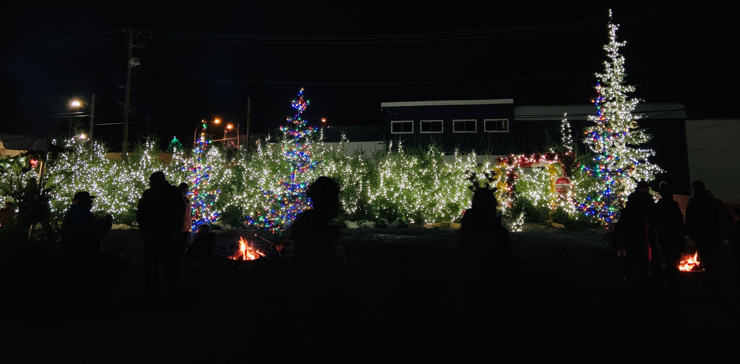
Last December Shelton took the Hallmark Channel head on. Shelton and Mason County celebrated their Christmastown distinction with an attempt at the Guinness World Record for “Most Lit Christmas Trees” in one location. The previous record was set by Hallmark in 2015 was 559 trees.
Trees were donated and countless community members cut, carried, stood, and strung lights on over 800 trees.
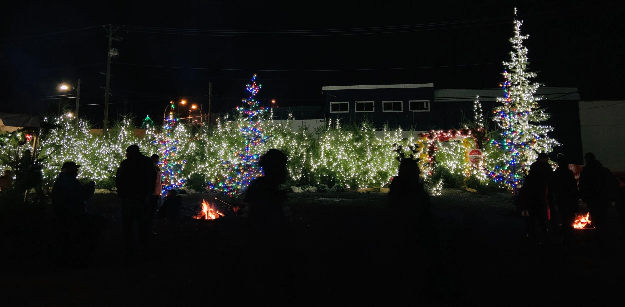
The record was recorded in July of 2020 with 797 qualified lit trees!
The town has rebuilt a Guinness Record Tribute maze this year for families to explore. With over 400 trees, this maze is available to explore for free. Located at 234 1st Street it is open each evening on a timer for families to visit through December 31.
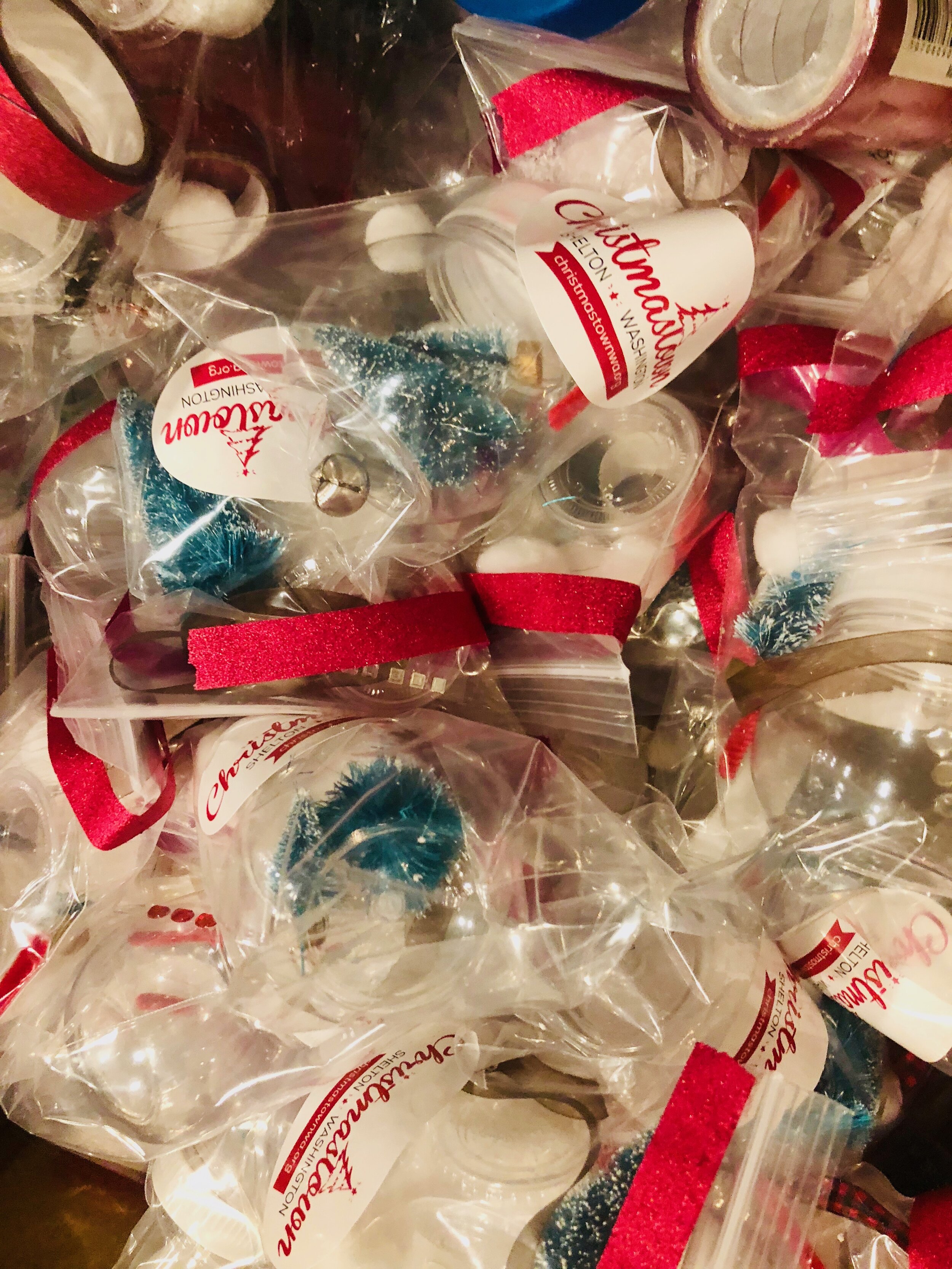
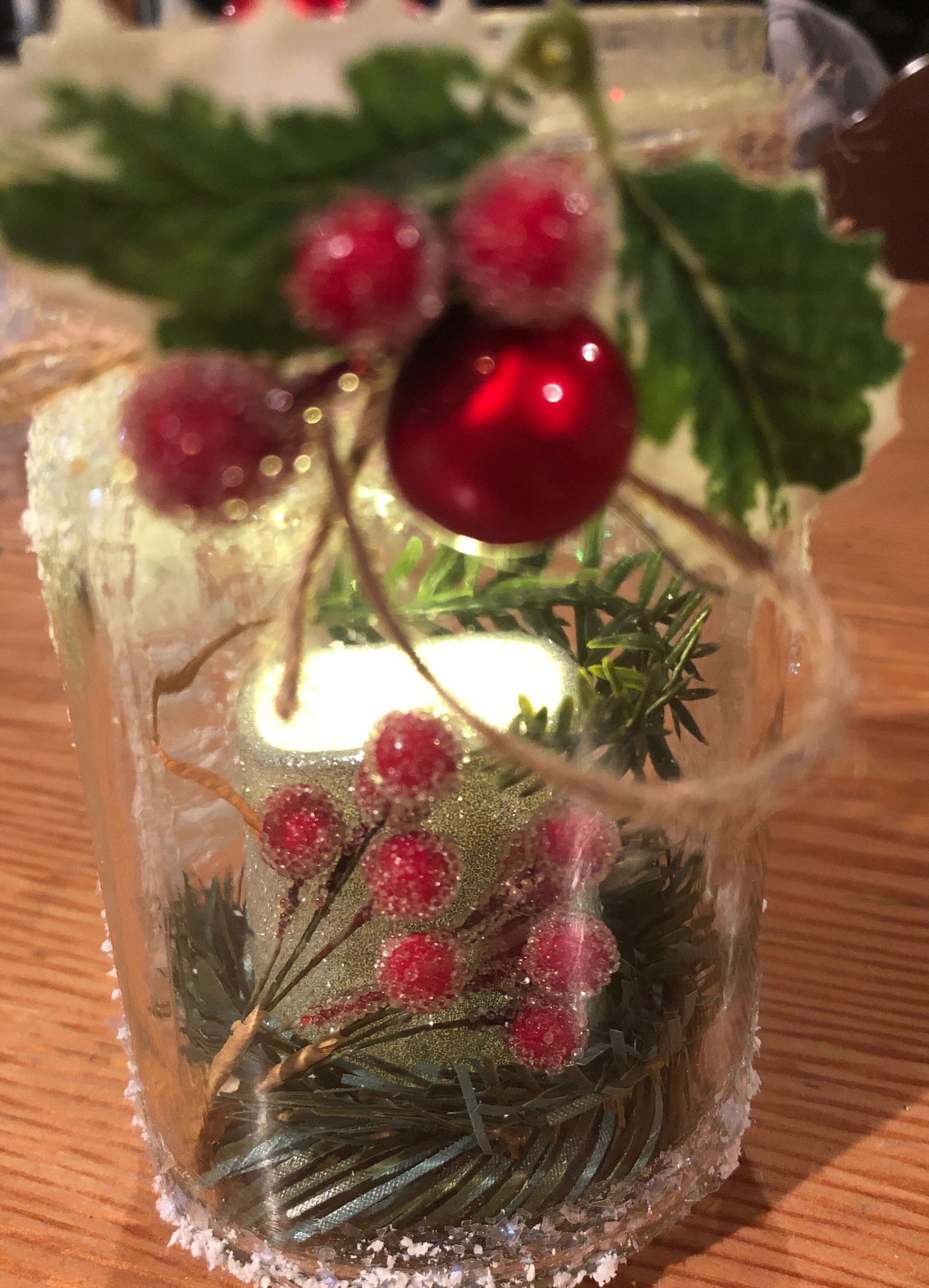
Weekends through December 20 (Thursday through Sunday, 4PM - 8 PM) head over to the maze to enjoy marshmallow roasting (free), as well as crafting activities. Crafts are pre-packaged for safe distribution. Event has limited attendance due to COVID physical distancing.but no reservations are necessary to attend.
Curious about what else is going on in Christmastown? Check out the 797+ reasons to check it out!






10. See the Lighted Boat Parade
The 2020 Shelton Yacht Club Lighted Boat Parade will be held December 18 & 19. Boats will leave the marina at 6:30 PM (weather permitting) and travel down Hammersley Inlet. All boaters are welcome to join in the parade regardless if you're a yacht club member or not. The boat parade can be viewed from the club parking lot, Church Point and Walker Park. Check the yacht club website for additional viewing options.


For more information on holiday happenings in Christmastown, visit christmastownwa.org
In Search of Salmon in and Around the Fjord
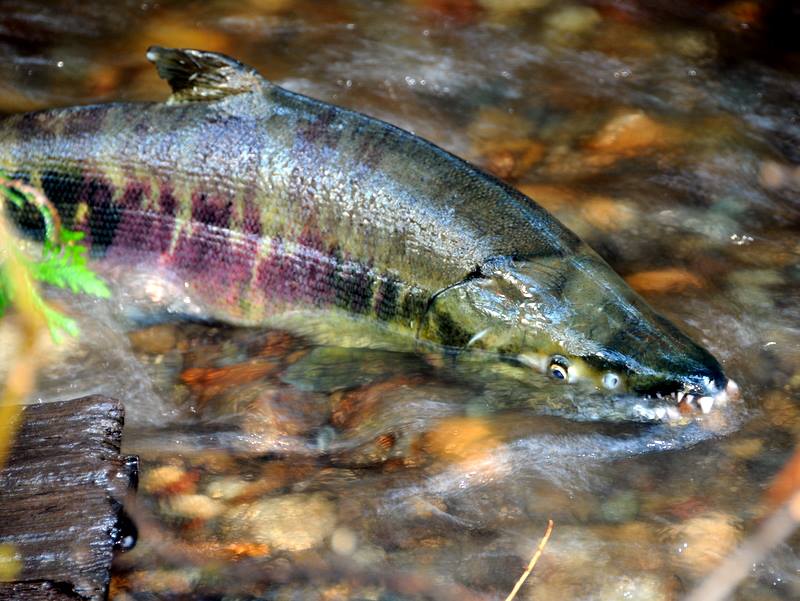
As the weather chills, the local streams and rivers are festooned with the lovely shades of orange and red of the turning leaves. This season also marks the last weeks in the life cycle of many salmon species as they travel up these rivers and streams to spawn and die.
Stella Wenstob
photo: South Puget Sound Salmon Enhancement Group
As the weather chills, the local streams and rivers are festooned with the lovely shades of orange and red of the turning leaves. This season also marks the last weeks in the life cycle of many salmon species as they travel up these rivers and streams to spawn and die.
Using a sense not completely understood by biologists, millions of migratory salmon return to their home streams to lay eggs.
After swimming up the stream to their spawning spot the female chooses a spot in the shallow, but swift flowing part of the river that is ensured to be highly oxygenated, called the riffle. In some of the inland streams that location can be many hundreds of miles up rapids and past many impediments. Here she digs a depression in the gravel that will serve as her nest or redd. The males will put on an impressive show biting and jumping to show their dominance and protect their chosen female from other males. After the eggs are laid in the redd, the male will deposit sperm over them, and the female will cover the eggs with gravel to protect them. A female may create as many as seven redds before she is finished spawning and each redd may hold as many as 5,000 eggs.
As soon as the salmon enter the fresh water of the stream their skins begin to change color, their sexual dimorphism enhances, they stop eating and they begin their decaying process. A migrating salmon typically lives for about two weeks after entering the freshwater.
The carcasses provide an important food source to other animals and small invertebrates who in turn provide food for the salmon fry (baby salmon) as they get older. Additionally, the nutrients given off by the rotting carcass are important fertilizers to the plants and trees growing on the banks, which in turn provide essential root systems that prevent erosion and protects the streams for further generations of salmon.
There are seven species of salmon in the Pacific Northwest: Pink (Oncorhynchus gorbuscha), Sockeye (Oncorhynchus nerka), Coho (Oncorhynchus kisutch), Chum (Oncorhynchus keta), Chinook (Oncorhynchus tshawytscha), Steelhead (Oncorhynchus mykiss), and Cutthroat (Oncorhynchus clarki clarki).
All of these species have very different life-cycles – some spend several years before they migrate up streams; some can run and spawn several times before dying; some only spawn at the mouth of streams, where others need to spawn in lakes at the head of rivers. This unique phenomenon of the salmon running can be viewed in streams and rivers all across the Hood Canal and South Puget Sound.
Kennedy Creek
The Kennedy Creek Salmon Trail located off of Hwy 101 opens up for full tours with docents answering questions from November 2 through to December 1 from 10 AM to 4 PM on weekends. This trail is maintained by the South Puget Sound Salmon Enhancement Group and their website is a great resource for learning about the trail and salmon ecology.
Beginning at the head of Oyster Bay, at the traditional site of the Sawamish/T’Peeksin village (ancestors of today’s Squaxin Island Tribe], this trail was once part of a greater network of Native American trails that connected South Puget Sound with the Pacific Coast. The Kennedy Creek was known as “Place of the Singing Fish” by the Squaxin Island Tribe due to the resonant singing of the frogs heard along the stream’s banks in the spring. Chum (or dog fish) are the dominant species that run this stream at numbers as high as 800,000 salmon a year. The tribe harvested these fish for oil and for food, drying them on racks. The salmon can be seen running right from the creek’s bank.
Salmon Center
The Salmon Center located in Belfair is open from 8 AM until 5 PM, Monday through Friday. Besides offering interesting exhibits about salmon ecology, they operate salmon traps on the Union River (off of Highway 300) that target adult summer Chums.
Twanoh Creek
As you continue along the South Shore of the Hood Canal, Twanoh Creek in Twanoh State Park offers good vantage points to view running salmon.
Purdy Creek
At the bend of the Hood Canal on a tributary of the Skokomish Watershed is George Adams Fish Hatchery run by the Washington Department of Fish and Wildlife. Each spring they release 500,000 juvenile Coho into the Purdy Creek. While the hatchery does not have scheduled tours, the friendly staff are eager to answer questions and the pens are visible from the Highway.
Hoodsport
The Hoodsport Fish Hatchery located in Hoodsport also does not offer scheduled tours, but in the fall the WDFW offers very popular Chum salmon fishing classes from the beach out front of the hatchery.
Quilcene
The Quilcene National Hatchery has been run continuously since 1911. Now focusing on Coho stock, the Quilcene National Hatchery has raised nearly every species of salmon. The hatchery successfully reintroduced Chum salmon back to the Big Quilcene River and increased winter Steelhead populations of the Puget Sound. They are open from 7:30 AM to 3 PM on weekdays and only on weekends and holidays in the spring and summer when the camp host volunteers are present. Visitors are encouraged to tour the facility and meet the hatchery staff.
More Salmon Viewing
Situated in the Belfair State Park are the Big Mission and Little Mission Creeks, which offer great salmon viewing. A little north of the North Shore Road following Elfendahl Pass Rd is Stimson Creek, a good place to view spawning salmon.
For a list of salmon spotting sites, WDFW have created an interactive multi-layer map called SalmonScape,
that shows the streams and tributaries used by migratory salmon in the state.