
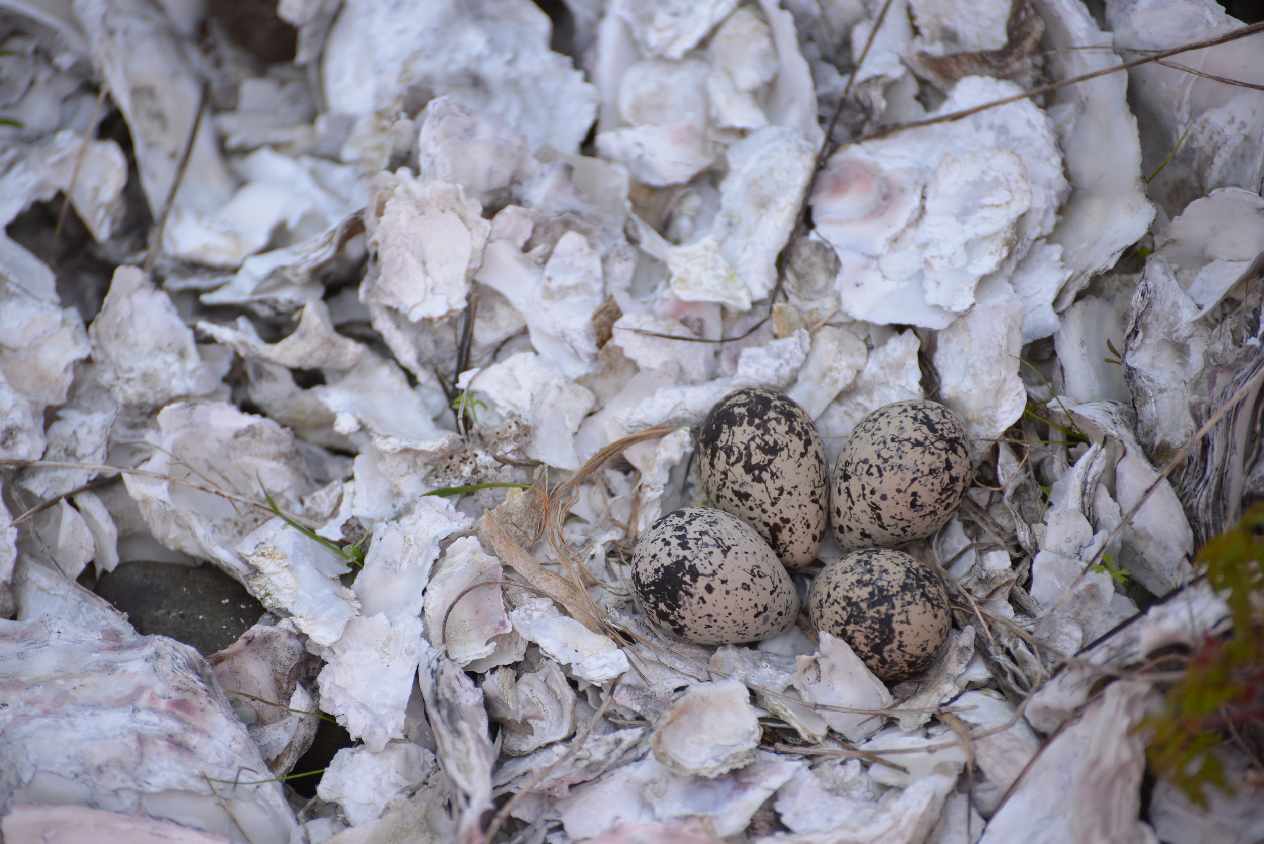

5 amazing hikes around Hood Canal
Craig Romano has outlined 25 great hiking destinations for us on Hood Canal — Here’s five to get you started!
Award winning local guidebook author, Craig Romano, shared 25 of his top area hikes with us in a handy “stuff-in-your-glovebox guide,” here are a few of the many hikes that are open and awaiting your adventure! Welcome to the #wildsideWA.
Tighten your laces!

1. Murhut Falls
(Olympic National Forest)
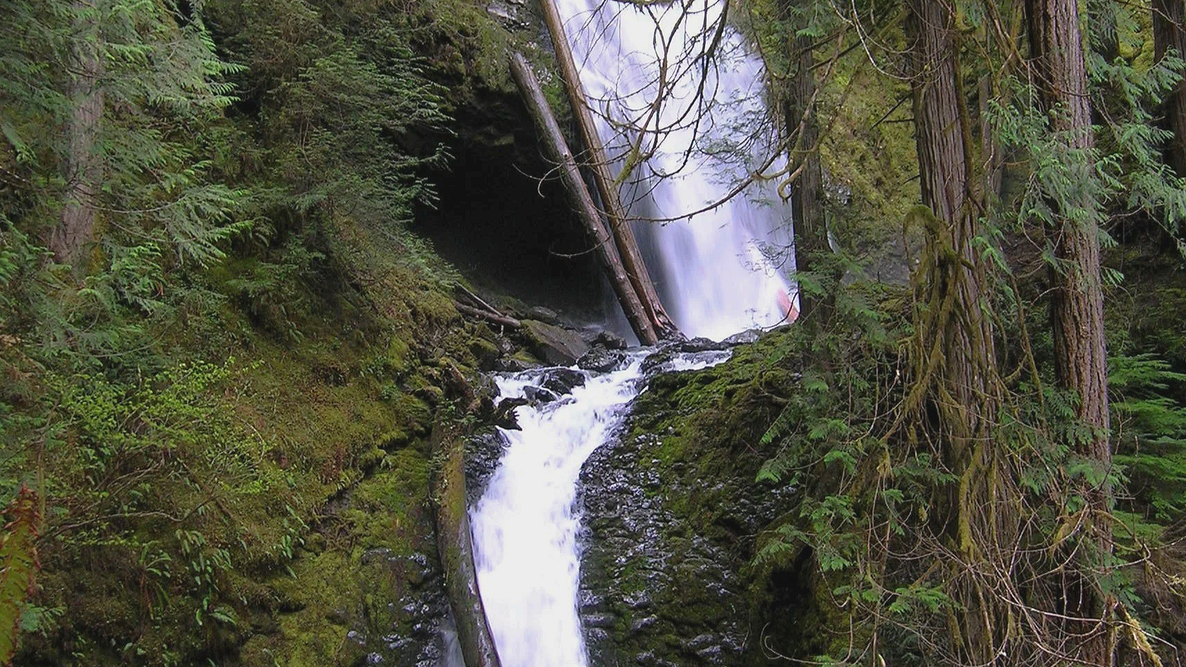
Hidden in a lush narrow ravine, Murhut Falls were long unknown to many in the outside world. But all that changed upon the construction of a well-built and easy to hike trail. This two-tiered waterfall that plummets 130 feet has become a favorite cascade for many Olympic Peninsula hikers. The trail starts by following an old well-graded logging road. As you work your way toward the falls, its roar will signal that you’re getting closer. Reach the trail’s end and behold the impressive falls crashing before you. The upper falls drops more than 100 feet while the lower one crashes about 30 feet.
Difficulty: Easy, 300 feet elevation gain, 1.6 miles
Permits: Not required
Kid and Dog Friendly: Yes
2. DuckabusH River trail
(Olympic National Forest)
The Duckabush River starts in the heart of the Olympic Mountains and flows through a deep verdant valley on its way to Hood Canal. Duckabush River Trail travels near and along the river for more than 20 miles terminating at Marmot Lake in the heart of Olympic National Park. At a little over 3 miles you will come to a ledge with a spectacular view east down the river valley. On a clear day you can see all the way to the Cascades.
Highlights: Old-growth forest, low elevation wilderness valley, backpacking opportunities
Distance: Moderate, 10.6 miles R/T Elevation gain: 2150 feet
Permits: NW Forest Pass /Interagency Pass
Kid & Dog Friendly: Yes

Duckabush River
3. LENA LAKES TRAIL
(OLYMPIC NATIONAL FOREST & PARK)

With all the fire activity this iconic trail system remains far removed from the bustle. The Lena Lakes are located above the Hamma Hamma valley. Despite having the same name, the two lakes have distinct differences. The lower lake is a simple, family and pet-friendly walk through old, tall trees in Olympic National Forest. The upper lake is a tough climb to a beautiful high area in Olympic National Park. The lower lake can be busy with hikers on a summer Saturday while the upper lake offers more solitude. Access to both lakes is the same.
Highlights: Old-growth forest, water!
Distance: Lower: 6 miles R/T; Upper: 14 miles R/T
Elevation gain: Lower: 1225 feet; Upper : 4100 feet
Difficulty: Lower Lake: moderate; Upper Lake: strenuous Permits: Northwest Forest or Interagency Pass
Hiking Season: Lower Lake: March to Dec; Upper Lake: July to November
Notes: Camping (no fires) at Upper Lake requires National Park Wilderness Camping Permit (contact Olympic National Park, Wilderness Information Center (360) 565-3100)
Kid-Friendly: Yes Lower Lake; no Upper Lake Dog-Friendly: yes Lower Lake; prohibited Upper Lake

4. spider lake
(Olympic National Forest)
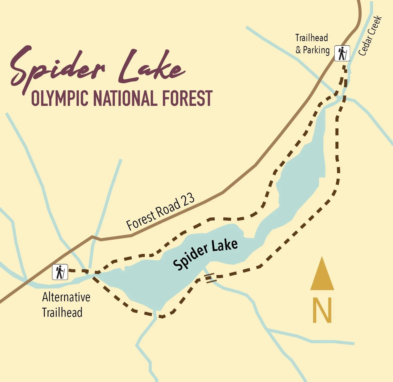
A long slender lake tucked within a narrow valley on the Skokomish–Satsop River divide, Spider is graced with groves of ancient giant old-growth forest. The trail around the lake is a remnant of a longer trail that once traversed miles of primeval trees. Most of those trees have since been logged, and the trail truncated to the lake. The remaining trail has since been restored and the forests on the surrounding hillsides are regenerating nicely.
Highlights: Old-growth forest Distance: 2 mile R/T Difficulty: Easy Elevation gain: 250 feet
Permits: None
Kid and Dog Friendly: Yes

5. Schafer Forest Trail
(Schafer State Park)

Tucked along the East Fork Satsop River in extreme southwestern Mason County, Schafer State Park is off-the-beaten path. While this park is far from population centers, it was a thriving spot for many years. In 1872 the Schafer Family came from Wisconsin to homestead here. Three of their sons, Peter, Albert and Hubert begin logging the homestead in the 1890s. They donated this parcel to the state in 1924, and it continued to host many large company gatherings as well as other groups. Today the park is much quieter, but families still come here to gather. The park’s trails however tend to remain pretty peaceful.
Highlights: Historic homestead; trail along Satsop River; salmon spawning creek and estuary
Distance: 1.3 mile loop Elevation gain: 75 feet
Difficulty: Easy Permits: Discover Pass Kid & Dog Friendly: Yes

This is only a SMALL sampling of the amazing hikes available in the area! Check out the hikes link for a full list of places to explore, visit the waterfalls trail for a comprehensive list of year-round waterfall destinations — or pick up or download a copy of Romano’s Top 25 Hikes!
The Top 5 | Camping on and around Hood Canal
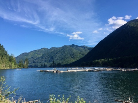
Whether you prefer the simplicity of tent camping or the comfort of RVs there are plenty of campgrounds on and around the Hood Canal to choose from. From your campsite you can take day trips to explore surrounding forests, rivers, and beaches or just relax under the trees and listen to the birds.

Whether you prefer the simplicity of tent camping or the comfort of RVs there are plenty of campgrounds on and around the Hood Canal to choose from. From your campsite you can take day trips to explore surrounding forests, rivers, and beaches or just relax under the trees and listen to the birds. For some inspiration to plan your Summer trip to the Hood Canal the staff at Hood Canal Adventures have made up their list of top 5 favorite drive-in campgrounds.
The Top 5
#1 Collins Campground
Collins Campground is located within the U.S. National Forest in the Brinnon area. Nestled under giant Bigleaf Maple trees and directly on the Duckabush River, it contains only 16 sites with no-hook ups: and this is why we love it! From here you are within only a few miles from some of the areas most popular hiking trails including Murhut Falls, Ranger Hole and Duckabush Trail. Shellfish can be gathered nearby at the Duckabush or Dosewallips tidelands when the season is open for clam and oyster recreational harvests. The campground is first come / first served and is open mid-May through September. Visit fs.usda.gov or call the USFS Hood Canal Ranger District (360) 765-2200 for details.
#2 Seal Rock Campground

Seal Rock is another U.S. Forest Service campground in the Brinnon area, however this one is located directly on the Hood Canal with beach access. Forty-one tent and RV campsites are shaded beneath the evergreen trees, some with water views. There are no RV hook-ups but the campground does have fresh water, flush toilets and electricity in the restrooms. Oysters litter the beach at low tide for you to harvest and cook up over your campfire. The campground has an area to walk-in your small boat or kayak for exploring the Hood Canal or harvesting Dungeness and Red Rock crab. Hood Canal Adventures of Brinnon will deliver your kayaks, paddle boards, and crab pots if you choose to rent. Seal Rock Campground is first come / first served and open April through late September. Visit fs.usda.gov for details.
#3 Twanoh State Park
Twanoh State Park really has it all! Located on the southern end of the Hood Canal just outside Belfair, you’ll enjoy 22 full hook-up campsites and 25 tent sites, a pump-out station, boat launches and a dock, showers, covered picnic areas, group sites, a staffed park office and store, and even kayak rentals. Over 3,000 ft. of marine shoreline offers shell fishing opportunities and warm summer waters are perfect for swimming and water play. A few campsites are open all year but the beachfront area is open April through mid-October only. Twanoh State Park is first come / first served. Visit parks.state.wa.us or call 360-275-2222 for details.
#4 Potlatch State Park
Potlatch State Park is a 57-acre camping park with 9,570 feet of saltwater shoreline on Hood Canal. The park's beautiful grounds are home to a variety of activities, from interpretive programs for kids to boating and shellfish harvesting. The park has 19 tent spaces, 18 utility spaces, one dump station, one restroom and two showers. Sites have no hook-ups. Maximum site length is 60 feet (may have limited availability). Two of the tent sites are for primitive use (hikers and bicyclers) only. The Park is divided by Hwy 101 so choose sites that are further away from the road if possible.
#5 Lake Cushman
OK, this isn’t actually a campground but the Lake Cushman area is stunning and well worth exploring. Lake Cushman is located near Hoodsport between the Hood Canal and the Olympic Mountains. Its clear blue waters are framed by beautiful forests and snowy mountain peaks. Popular activities include fishing, hiking, climbing, boating, kayaking, and swimming. There are several campgrounds at the lake but we couldn’t agree as to which is our favorite. Therefore, here's a short list to start you off: Skokomish Park Lake Cushman with 80 RV, tent sites, boat launch, and lake access; Staircase Campground with 49 tent and RV sites on the Skokomish River at the Olympic National Park’s most southern access point; and Big Creek Campground, a 64 site U.S.F.S. Campground which also serves as the trail head to several hiking trails.
The Hood Canal area offers opportunities for camping whether they be county, state, federal, or private campgrounds. There are many back-country and boat-in only camping areas to explore. Come find your favorite! To discover more campgrounds in the area click here.
Christina Maloney is owner of Hood Canal Adventures in Brinnon, a Fisheries and Marine Biologist, and a local outdoor enthusiast.
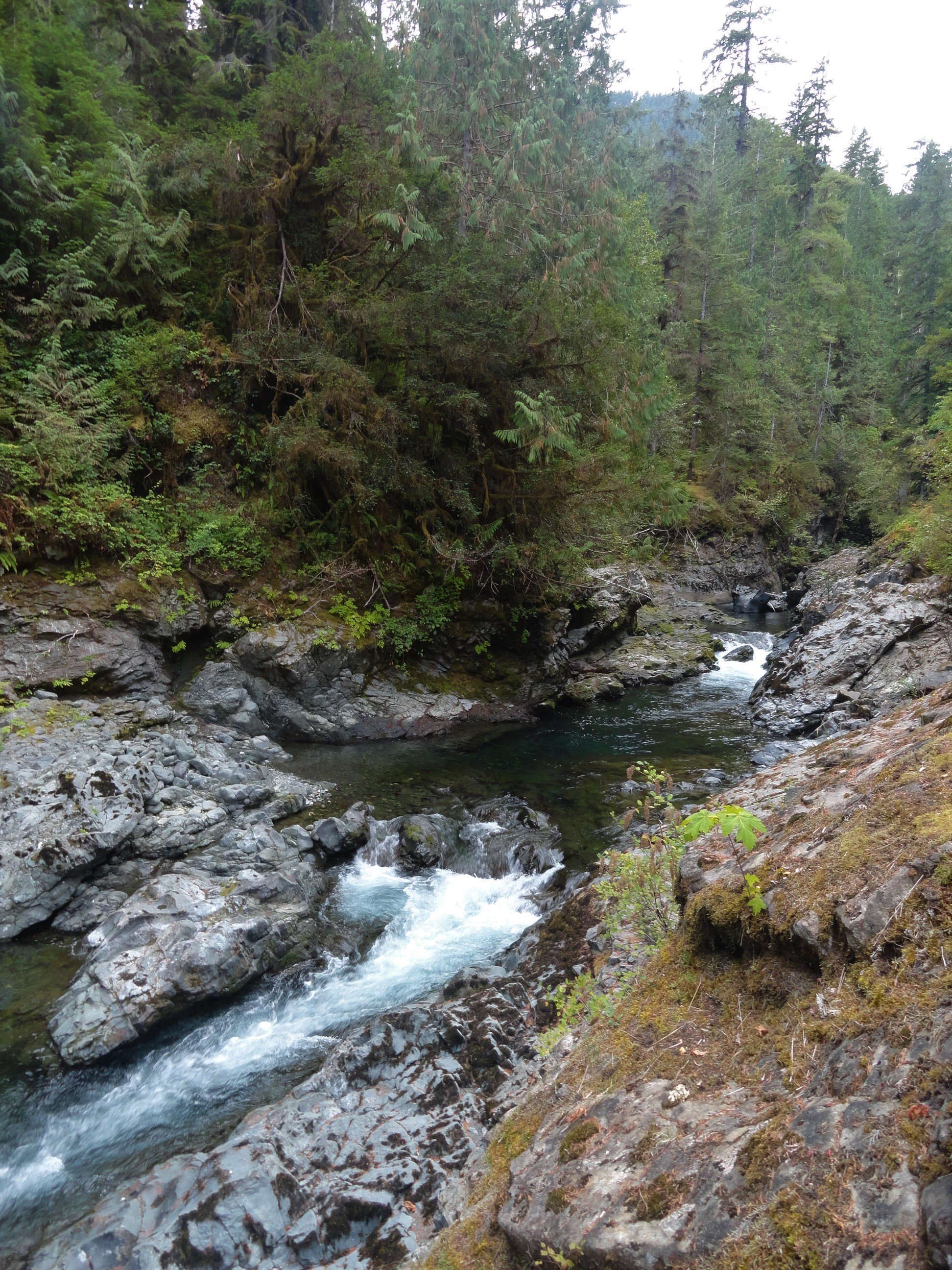
Ranger Hole
The deep forests, wild rivers, and forbidding mountains of the Olympic Peninsula harbor many secrets. And outdoors people of all ages and abilities are often drawn to trying to unlock their mysteries. But when it comes to legendary fishing holes, don’t even think about asking fishermen and fisherwomen to reveal their coveted spots. One luring spot of lore however, the Ranger Hole, is no secret at all. It can reached by a short and delightful trail. And best of all, while it’s no secret, it’s often overlooked by many hikers. So a little peace and solitude is possible on this trail.
Craig Romano | author
The deep forests, wild rivers, and forbidding mountains of the Olympic Peninsula harbor many secrets. And outdoorspeople of all ages and abilities are often drawn to trying to unlock their mysteries. But when it comes to legendary fishing holes, don’t even think about asking fishermen and fisherwomen to reveal their coveted spots. One luring spot of lore however, the Ranger Hole, is no secret at all. It can reached by a short and delightful trail. And best of all, while it’s no secret, it’s often overlooked by many hikers. So a little peace and solitude is possible on this trail.
Hit the Trail
Upon arriving at the trailhead located near at the Interrorem Cabin, you’ll immediately be taken back to the early days of the Olympic National Forest. Before heading out for the famed Ranger Hole, take a little stroll back in time on the Interrorem Nature Trail to get a better appreciation for this area. The trail makes a 0.3 mile loop behind the cabin and it’s wheelchair accessible.


The simple, rustic, but elegant Interrorem Cabin was built in 1907 by Hoodsport pioneer Emery J. Finch as the first administrative site of the newly established Olympic National Forest (which at the time included what would become the Olympic National Park in 1938). Finch an assistant forest ranger with the Olympic National Reserve (which would be reorganized as a national forest) was chosen to build the cabin and administer the new national forest from it. Upon building the structure he moved his newlywed wife Mabel in with him in the spring of 1908. The building was knowns as “No. 27 Interrorem Administrative Site,” as it was intended to be a temporary structure.
What proved to be temporary however, was Finch, as he resigned in 1910. The Interrorem Ranger Station however continued to serve as the main administrative building for the Olympic National Forest and the newly created Mount Olympus National Monument (which later became Olympic National Park) until 1933. Look at that little and snug structure which consists of three rooms: an office, bedroom and kitchen. Now try to imagine that it served as the main administrative office for a public land area of more than 1.5 million acres!
Eventually new and larger ranger stations were built. The Interrorem Ranger Station became known as the Interrorem Guard Station and served as a basecamp for the Depression era Works Progress Administration (WPA) and the Civilian Conservation Corp (CCC). A CCC camp was also established on the grounds near the cabin. After Congress closed the CCC in 1942, the cabin continued to be in use, serving as a fireguard station all the way until 1986. After that time it began to fall in disrepair, but thankfully it was restored. In 1994 the cabin became available to the public for overnight rentals. In 2013 it was rightfully added to the National Register of Historic Places as the oldest Forest Service building in Olympic National Forest and among the oldest in the Pacific Northwest.

As you walk the Interrorem Nature Trail try to envision the area more than a century ago. Next to the cabin once stood a barn, corral, and woodshed. Big moss-draped second growth firs, cedars, and hemlocks have replaced the pasture that Finch’s horse grazed upon. Upon completing this loop, set out on the adjoining Ranger Hole Trail.
Ranger Finch was an avid fisherman. He was responsible for building the Ranger Hole Trail, a path to his favorite fishing hole on the Duckabush River. Head down the trail through mature second growth. The way climbs a little hump before making a gradual descent toward the river. While the surrounding forest can be dark at times, come spring hundreds of trilliums line the way adding whites, pinks, and purples to the emerald landscape.

Soon the Duckabush River’s roar becomes more audible. During the wetter months it is quite loud. You are almost there. The trail makes a short steep drop and emerges along the banks of the Duckabush. A short distance beyond reach the famed fishing spot. Here the river crashes and thunders through a narrow rocky chasm to a deep pool. Frothy gurgling waters crash up against the narrow cleft. Be sure to keep children and dogs nearby while admiring this landmark. When the sun is shining, its ray reach this spot, providing a little warmth and light and providing a nice contrast to the dark and damp surrounding forest.
Chinook salmon, chum salmon, pink salmon, coho salmon, and steelhead trout still ply the Duckabush’s waters. And while their numbers are a fraction of what they were back in Finch’s time, fishing (be sure to check regulations and seasons) is still allowed and can be good on the Duckabush. And perhaps you have a favorite fishing hole on this river or another in the national forest. A secret spot you don’t have to reveal to anyone!

Ranger Hole
Features: Historic Ranger Station, Kid-friendly, dog-friendly, Duckabush River Access, spring woodland wildflowers
Distance: 1.9 miles roundtrip
Elevation Gain: 250 feet
High Point: 320 feet
Difficulty: easy
Snow free: year round
Trailhead Pass Needed: Northwest Forest Pass or Interagency Pass required
Notes: Please respect the privacy of any guests staying at the Interrorem Cabin
GPS waypoints: Trailhead: N47 40.882 W122 59.670; Ranger Hole: N47 40.499 W122 59.830
Land Agency Contact: Olympic National Forest, Hood Canal Ranger District, Quilcene, (360) 765-2200, http://www.fs.usda.gov/olympic; and Olympic National Park, Wilderness Information Center, (360) 565-3100, www.nps.gov/olym
Recommended Guidebook: Day Hiking Olympic Peninsula 2nd edition (Romano, Mountaineers Books)
Trailhead directions: From Shelton, drive north on US 101 for 37 miles turning left at Milepost 310 onto the Duckabush Road (From Quilcene, drive south on US 101 for 15.5 miles turning right onto the Duckabush Road). Then drive 3.6 miles to the trailhead at the Interrorem Cabin.
Trailhead facilities: privy, water (seasonal)
Nature Tour on a Duckabush Trail
If you live in the Pacific Northwest you've probably entertained the fleeting dream of "living off the land." Last August our team was invited to attend Hood Canal Adventures' "Wild Edible & Medicinal Plants, Lichen and Fungi of the PNW" tour. The experience reignites the desire to learn more about foraging in the Pacific Northwest.
If you live in the Pacific Northwest you've probably entertained the fleeting dream of "living off the land." Last August Tracing the Fjord was invited to attend Hood Canal Adventures' "Wild Edible & Medicinal Plants, Lichen and Fungi of the PNW" tour. The experience reignites the desire to learn more about foraging in the Pacific Northwest.
The group gathered at the Hood Canal Adventure's Base Camp office located in Brinnon. Here we were met by owner and resident biologist, Christina Maloney. Christina also operates a successful kayaking rental and tour operation at the nearby Yelvik beach. In the last few years she has expanded the company's profile to include education marine and forest tours. Christina works with local naturalists and guides to lead her tours. Today our guide was herpetologist and professional forager, Jerry Novak. Growing up in southern California, Jerry cemented his fascination with edible and medicinal plants and fungi working Washington Department of Fish & Wildlife as a steward at an amphibian sanctuary near the Columbia River. The days connecting with the land fueled his infectious curiosity which is clearly a mantra of his current foraging tours.
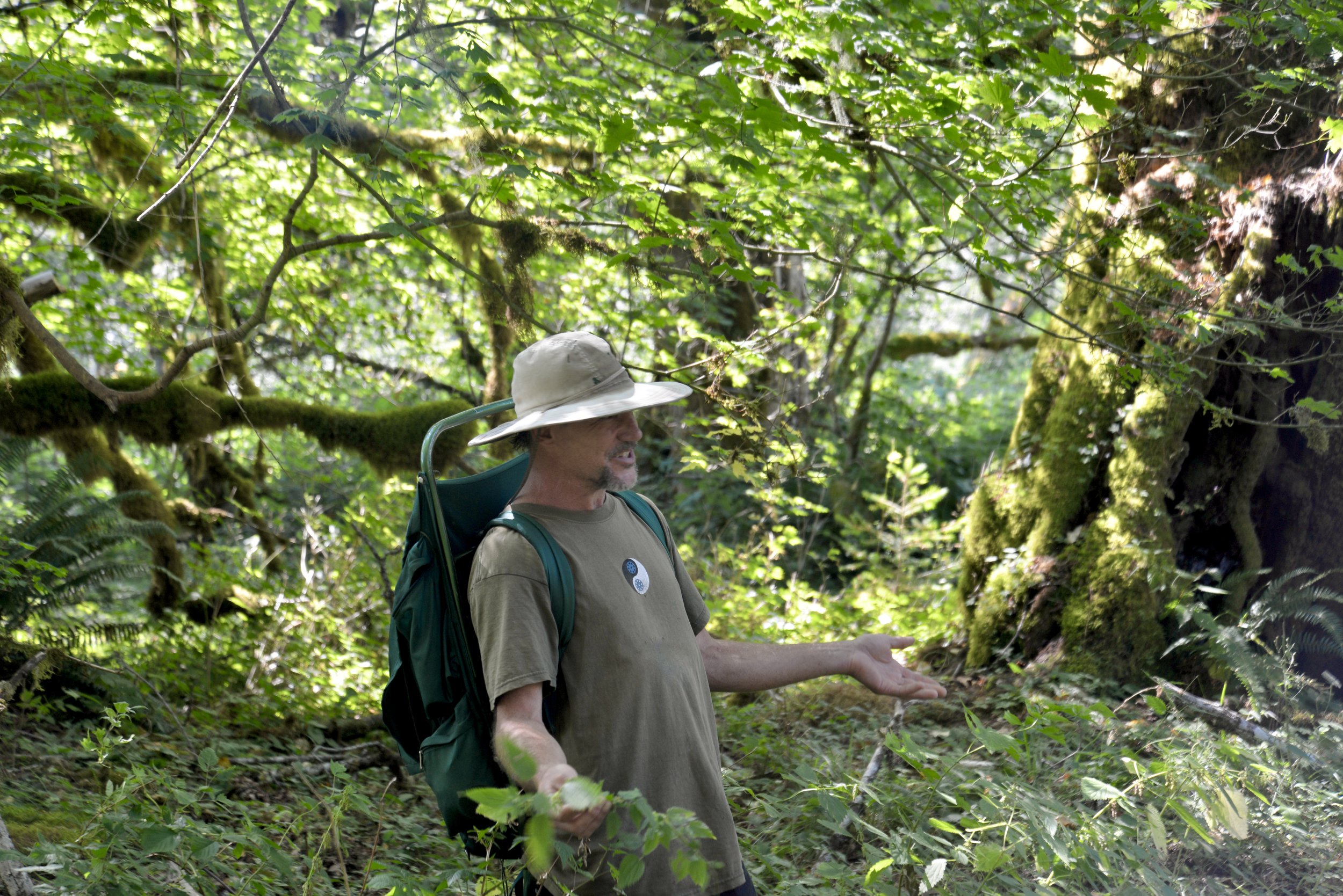
From the moment he pulled up in the dusty passenger van the tone was set with energy and anticipation.
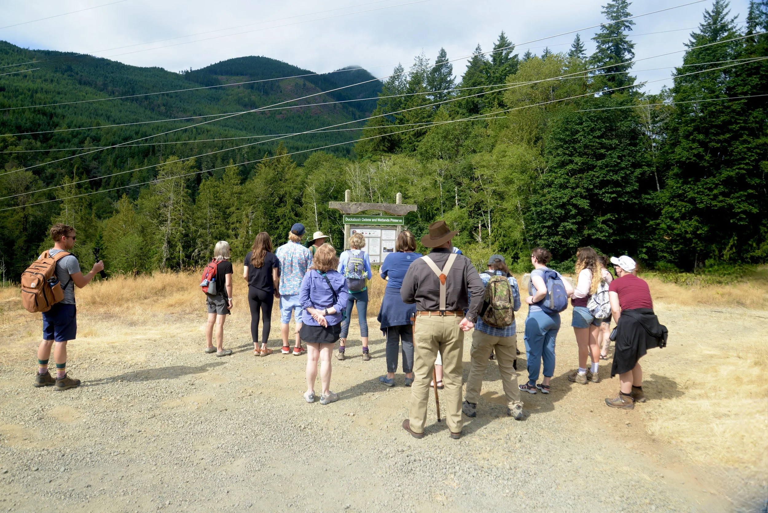
After loading up (some participants chose the option to drive their own vehicles to the trailhead) Jerry drove us the 15-20 minutes to a Jefferson Land Trust preserve located on the Duckabush River. Literally under the power lines, we piled out in the hot August sun and surveyed the seemingly uninteresting logging slash around us.
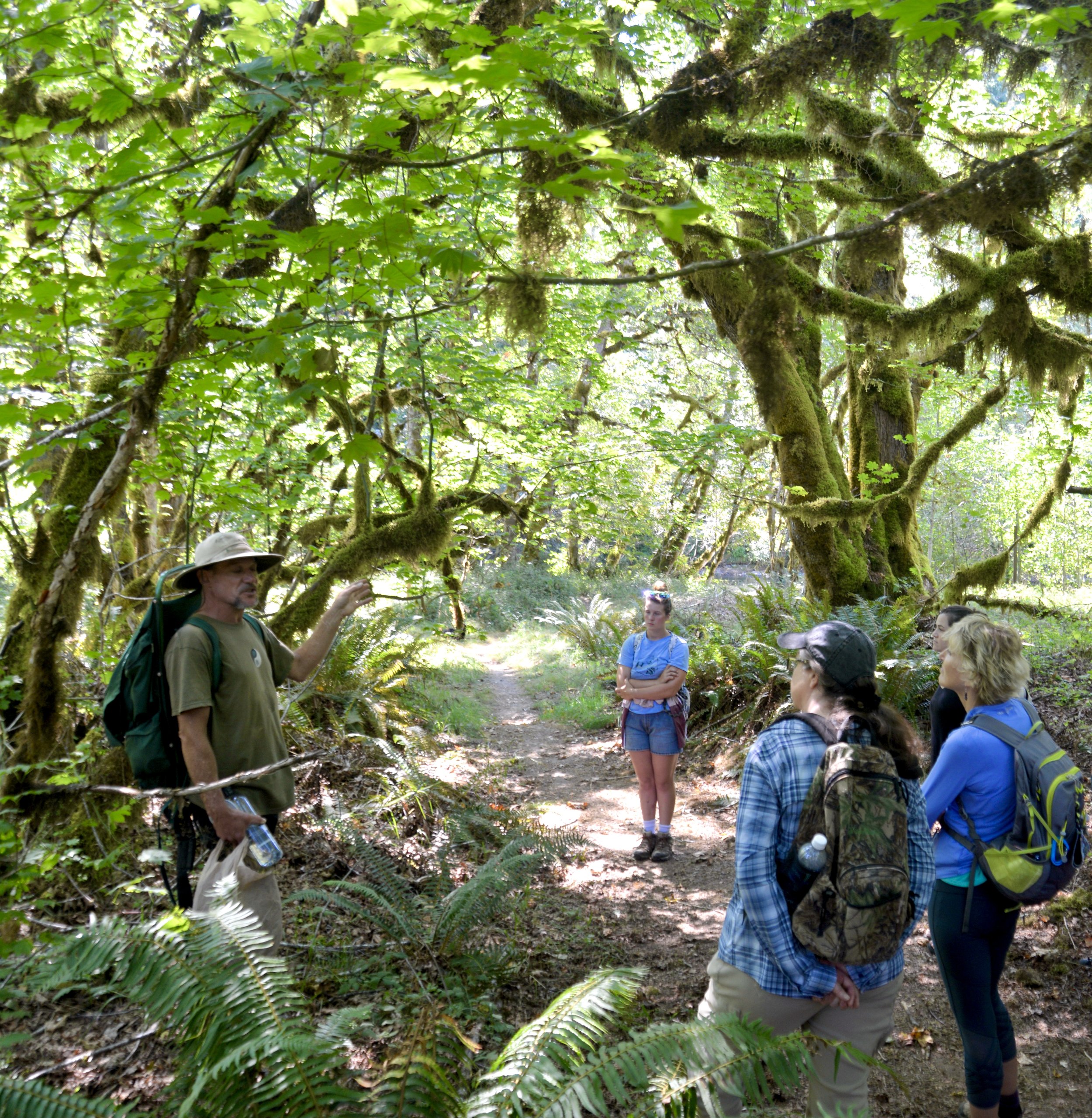
The unseen quickly became seen. Jerry reached down and grabbed a handful of dusty weeds with a head of purple flowers intertwined in the blackberry vines. His first plant was one that I had often overlooked as they are an ubiquitous on the forest floor. But never had I understood their varied healing properties. Some of which, Novak claimed, rivaled those bought over the counter.
Jerry shared the historical lore of each plant and his own personal experiences using the plants for their early medicinal uses.

He expressed a disregard for writers who reported on the benefits of flora without actually testing the methods themselves.
The tour descended into a sun dappled shady giant maple glen near the Skokomish River. Here we explored different fungi and trees and even sunk our teeth into a rhizome of licorice fern.
Despite it being mid-August and most of the plants past their prime and fungi still hidden beneath the soil, everywhere our guide stood, whether it be in an elk-trodden meadow or near the bank of the Duckabush River, there were countless opportunities to bring the "goodness" from the earth. You could do this walk anytime of the year and it would be an utterly different experience as the season changed.
As for poisonous plants and berries, he had some advice. "If they are too easy, don't eat them." Often times the plants that have no natural protection like thorns or "stings" are actually poisonous. I mulled over this later and could think of lots of plants that this rule doesn't apply to – like Huckle or Thimble berries for example, but unless you are sure, this is a good rule to adhere to. Nighshade and Snowberry (Ghostberry) definitely fit the definition.

The tour concluded with picnic lunch on the beach at the Duckabush River while Jerry prepared a hot wild foraged tea for the participants.
Hood Canal Adventures Fall Foraging & Fungi Tour Schedule:
Contact Christina directly, 360-301-6310, to reserve your spot or visit hoodcanaladventures.com to book online. Cost is $59/69 per person.
Mushrooms of the Olympic Peninsula - Walking Tour
September 24, 25 & 30; October 2, 7, 9, 14-16, 21- 23, 28- 30; November 4, 6, 11-13, 18-20, 26-27; December 2- 4
Edible & Medicinal Plant, Lichen & Fungi - Walking Tour
October 1; November 5
Mushrooms of the Olympic Peninsula - Walking Tour followed by Lecture with foraging author Langon Cook (sponsored by Jefferson County Libraries)
October 8:
Hood Canal Hike: Duckabush River Trail
The Duckabush River starts in the heart of the Olympic Mountains. Fed by glaciers, snowfields, and a myriad of springs and alpine lakes; this major Olympic Peninsula river provides excellent wildlife habitat and makes for some stunning scenery. Explore this valley in the winter for the added bonus of solitude, a chance to observe elk, and to witness a rain-swollen river careening through clefts and over boulders.
Craig Romano | author Day Hiking Olympic Peninsula 2nd Edition

The Duckabush River starts in the heart of the Olympic Mountains. Fed by glaciers, snowfields, and a myriad of springs and alpine lakes; this major Olympic Peninsula river provides excellent wildlife habitat and makes for some stunning scenery. Explore this valley in the winter for the added bonus of solitude, a chance to observe elk, and to witness a rain-swollen river careening through clefts and over boulders.
Hit the Trail
The Duckabush River Trail is a portal into the wild interior of the Olympic Peninsula. A well-maintained trail travels along a good portion of the waterway allowing you to experience its grandeur. The trail travels a verdant valley for more than 20 miles terminating at Marmot Lake in the heart of Olympic National Park.
That’s a long journey primarily reserved for multi-day backpackers who often continue farther from there to cross historic O’Neil Pass. Day hikers however will be content to head up this trail for just a few miles.
An objective for many hikers and one that includes a good day’s worth of mileage and a little climbing too is to an imposing riverside knoll known as the Big Hump.
If the 7.8 mile distance and more than 1400 feet of elevation gain to reach this destination is too much, a satisfying turnaround spot is a nice stretch of river just prior to the climb.
The Duckabush River Trail like many of the trails leading along rivers into the Olympic interior begins as an old roadbed. Park officials, foresters and others once sought to punch roads deeper into the Olympics. However, over time, changing attitudes that emphasized preservation of areas free of roads and dwindling budgets that couldn’t maintain many miles of backcountry byways led to miles of roadway being converted to trails. In almost all of these cases this has meant miles of gentle hiking as the old roadways were often well graded. That is the case for the beginning of this trail.
Head off down the trail gently climbing through a uniform forest of second-growth fir. This part of the Duckabush River valley was logged—but it was many decades ago. The real old and impressive trees are yet to come. At 1.2 miles the trail enters The Brothers Wilderness, a 16,000-plus acre federally protected section of the Olympic National Forest. Wilderness designation means that this rugged and ecologically important tract of land bordering the national park will never be logged, developed or have a road traverse it. Bicycles and machinery are not permitted either, allowing folks who come to explore this area by foot or horseback a true wilderness experience.
The trail continues through a low gap near Little Hump and then begins a descent of 250 feet, following an old logging railroad grade on an almost perfectly level trajectory. Loggers here didn’t take all of the big timber as a few standing giants attest.
While this part of the Olympics is in a rainshadow, receiving around 70-80 inches of rain a year compared to two to three times that on the other sides of the mountains, mossy limbs and a thick understory makes it feel somewhat like a rainforest.
After passing a campsite the trail finally comes upon the Duckabush River. At 2.6 miles, you’ll reach a spectacular spot where giant cedars and firs hang over the churning, crashing river. This is a great spot to turn around and perfect for a good half day hike or one with young adventurers.
Go Farther
If you’re intent on tackling the Big Hump, continue up the trail preparing yourself for a stiff 1,000 foot climb. The way steadily and steeply at times climbs. Old-growth greenery is soon replaced with fire-scarred trees and burnt and downed timber. Here in 2011 a careless camper started a wildfire that scorched a large patch of old-growth on the Big Hump. Hardy fire-scarred trees stand among stands of fire-ravaged timber. While trail crews have since rehabilitated the tread here, avoid this section of trail during periods of high wind, as burnt snags are prone to toppling.

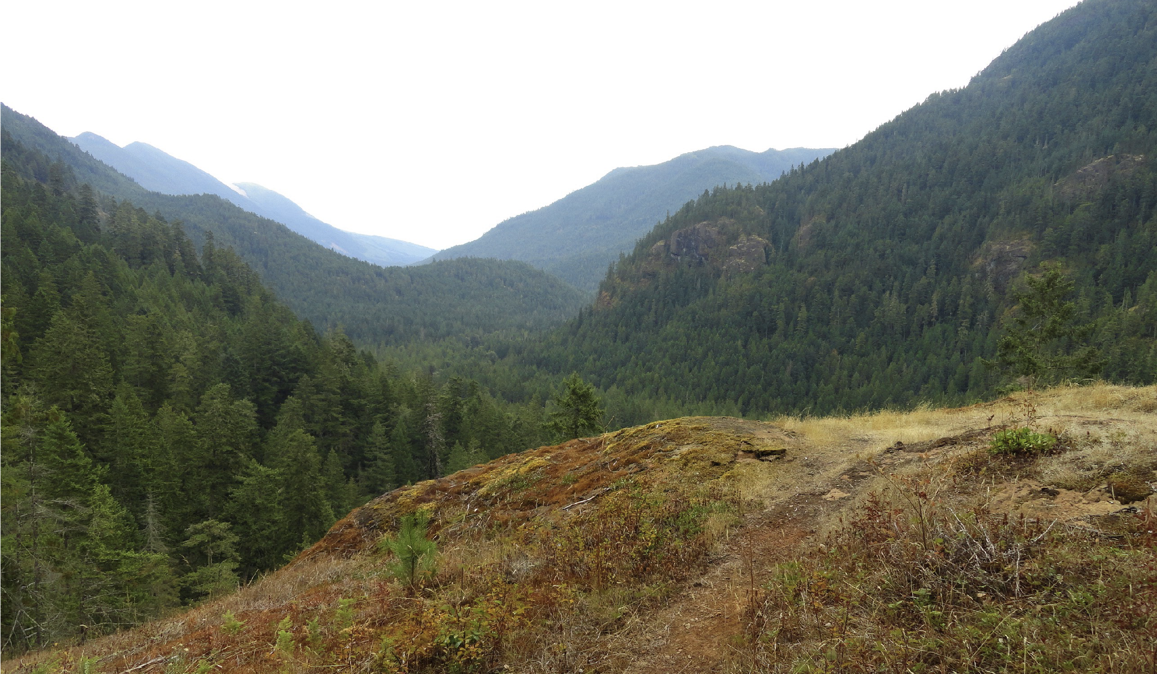
At a little over 3 miles come to a ledge with a spectacular view east down the river valley.
On a clear day you can see all the way to the Cascades. To the south, impressive St. Peters Dome hovers—often catching swirling low clouds. Return to this spot later in the spring and you’ll have an array of wildflowers enhancing the views. Keep hiking and come to another outcropping before finally cresting 1700-foot Big Hump at 3.9 miles.
For most day hikers, this is far enough. But if you still feel like hiking, continue through a mosaic of old growth and fire scorched trees and descend 600 feet back to the river. Here at 5.3 miles from the trailhead is a camping area near a series of impressive rapids. During periods of heavy rain the river can be deafening here. Watch for darting dippers in the rapids as you rest up for your return to your start.

And if you are a strong hiker or are out on a several day backpacking adventure, the trail generally remains snow-free through the winter for many more miles. Note that at 6.7 miles from the trailhead it enters the national park—meaning dogs are not allowed to continue—and if you are planning on camping, you’ll need to secure a backcountry permit beforehand.