
Silver Lake Hike
The Olympic National Forest’s Buckhorn Wilderness contains more than 44,000 acres of some of the finest backcountry on the Olympic Peninsula. Within this rugged corner of the Olympic Mountains you can hike on miles of trails traversing deep valleys of old-growth forests and along high windswept ridges granting stunning views.
Craig Romano | Story and Pictures
The Olympic National Forest’s Buckhorn Wilderness contains more than 44,000 acres of some of the finest backcountry on the Olympic Peninsula. Within this rugged corner of the Olympic Mountains you can hike on miles of trails traversing deep valleys of old-growth forests and along high windswept ridges granting stunning views.
Hit the Trail
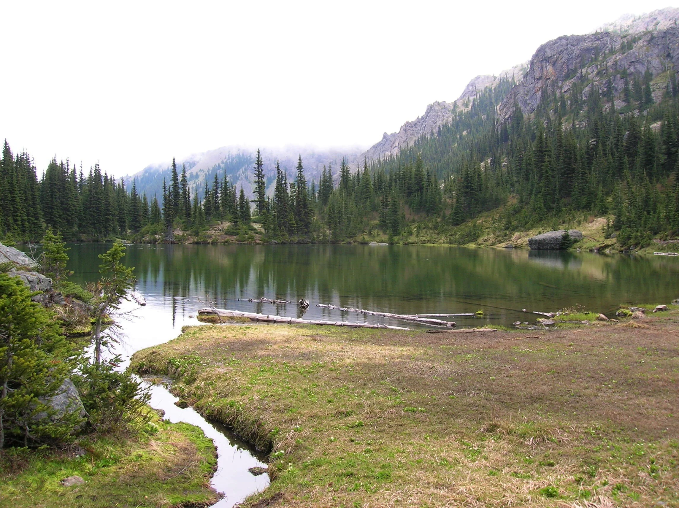
Located within the Olympic rain-shadow, the Buckhorn receives ample sunshine and consists of a much drier landscape than points south and west. Lakes are rare in this wilderness. Silver Lake is one of the few gracing the region. It provides an oasis for wildlife and serves as an excellent destination for hikers.
There are two ways to reach Silver Lake. The shorter route is via Silver Creek. This route was never officially built, involving instead from a well-trodden user built boot path. It’s rugged in spots and to reach it involves a long rough dirt road from the north. The official trail starts high on the southern shoulder of Mount Townsend. It involves more effort to hike due to its length and elevation gain—but it’s well-built and highly scenic. And the approach to it is by a primarily good paved road.
Nearby Mount Townsend—one of the most popular hiking destinations in the Olympics keeps most hikers away from these trails, leaving Silver Lake a much quieter destination. In early season wildflowers give an added bonus to the official route—but lingering snow can make it tricky.

"Fall is the perfect time to visit Silver Lake with the added bonus that its resident biting insects have gone the way of the early blossoms."
Start your hike from the upper trailhead for the Mount Townsend Trail. Follow this well-worn & popular path through stately groves of firs and hemlocks adorned with Pacific rhododendrons. In late May and early June, the rhodies add an array of dazzling colors to the surrounding verdant cloak. The trail steadily climbs. Shortly after entering the Buckhorn Wilderness, the forest cover thins and views east emerge. Cross several cascading creeks and continue working your way upward. The trail switchbacks more than two dozen times.
The way crests a small knoll arriving at Camp Windy, which usually lives up to its name. Look below to tiny Windy Lake, not much more than a buggy pool most of the year. Then continue climbing coming to a junction at 3.0 miles.

Here most hikers will continue right to ascend the open summit of Mount Townsend. You want to head left on the trail less traveled. Your climbing isn’t yet over however. Muster up a little more energy and reach a small gap on a high ridge separating Mount Townsend from the Welch Peaks. Take a break and look back east for a great view of Windy and Sink Lakes directly below. Then face west and enjoy a sweeping view of the Silver Creek valley. Silver Lake however is not visible. It’s hidden behind a small wooded knob to the south.
Now resume hiking crossing a steep slope that comes alive with blossom in the summer. Via a couple of long switchbacks the way descends more than 600' into the valley. Be sure to save some energy for the return hike, as you’ll need to regain that elevation. At 4.6 miles reach a junction in the forested valley. Here the Silver Lake Way Trail descends northwest following alongside Silver Creek. Continue straight, soon coming to Silver Creek.
Hop across the creek and start climbing again following the creek to its source.

At 5.4 miles reach Silver Lake in a semi-open bowl flanked by craggy peaks and ridges. It’s a tranquil spot where soft breezes often leave rippling signatures on the lake’s surface; and the raucous calls of Clarks nutcrackers (more common east of the Cascade Crest) often break the silence.
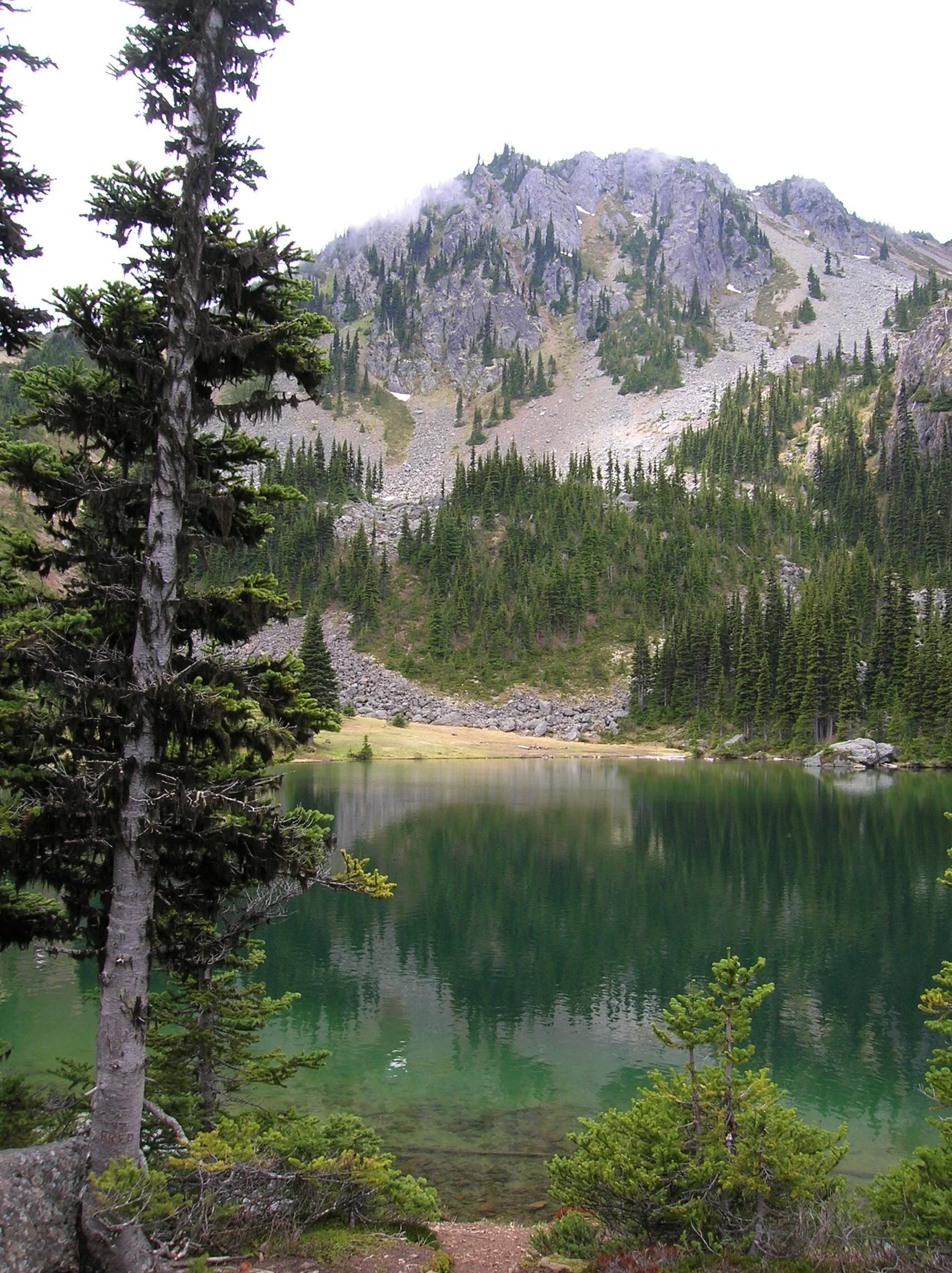
Find a shoreline rock and stay for a while. However, if you have some energy left, a steep half mile path to the south may entice you to follow it. It leads to a gap on a ridge high above the Big Quilcene River where you can stand mouth agape staring out at hulking Mount Constance towering over craggy ridges and deep emerald valleys.

Craig Romano is an author of more than 20 hiking guidebooks including the bestselling Day Hiking Olympic Peninsula 2nd Edition (Mountaineers Books), which includes descriptions for 136 hikes throughout the Olympic Peninsula. He is a regular contributor to Explore Hood Canal. Also check out his list of 25 Olympic Peninsula waterfalls at waterfalltrail.org.
Silver Lakes Notes
Distance: 10.8 miles round-trip
Elevation Gain: 3275 feet (High Point: 5675 feet)
Difficulty Loop: difficult
Snow free: mid-June to early November
Trailhead Pass Needed: Northwest Forest Pass or Interagency Pass
GPS waypoints:
Trailhead: N47 51.385, W123 02.153,
Silver Lake: N47 50.686 W123 04.247NW Forest pass required; Wilderness rules
Land Agency Contact: Olympic National Forest, Hood Canal Ranger District, Quilcene, (360) 765-2200; fs.usda.gov/olympic
Recommended Map:
Green Trails Olympic Mountains East 168SRecommended Guidebooks: Day Hiking Olympic Peninsula 2nd edition (Romano, Mountaineers Books)
Trailhead directions: From Quilcene drive US 101 south for 1.5 miles and turn right onto Penny Creek Road. After 1.5 miles bear left onto Big Quilcene River Road (Forest Road 27); which eventually becomes paved. Continue on FR 27 for 13.7 miles and turn left onto FR 27-190 reaching the trailhead in 0.7 mile.
Tips for safe and healthy hiking during the Covid-19 Pandemic
We all must do what we can to prohibit the continual spread of this disease. We can do that by adhering to the following while we enjoy our trails:
• Avoid crowded hiking destinations. If you arrive and the parking lot is already full, head to another location
• Opt for weekdays over weekends to hit the trail
• Hit the trail early morning before others arrive
• Avoid hiking in large groups outside of family
• Practice Social Distancing while on the trail, giving other hikers room to pass and keeping your distance from them at lakes and summits.
• Wear a mask when encountering others on the trail. A buff or bandanna works well.
• Pack hand sanitizer
• Pack it in pack it out
• Don’t be a surface pooper. Poop properly in the woods by always using privies first if available-or by heading at least 200 feet away from all trails, campsites and water sources and digging a cat hole for your business. Bury waste and TP.
• Pack out all pet waste.
"3000 Miles" celebrates music & the outdoors with new guiding company
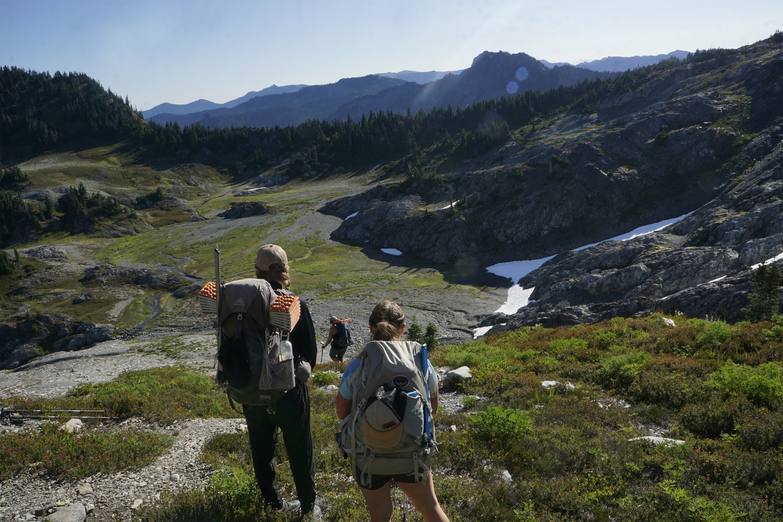
Whether you’re seeking a challenging multi-day backpacking adventure, looking for a unique team building experience, or hoping to collect some great photos and make some life-long memories during a vacation, Hike Your Own Hike (HYOH) can design an outdoor adventure on the Olympic Peninsula customized for you
With blistering feet and through blistering cold, Anna and Emalee took the final steps to touch the US-Mexico border. One small step for the two women, and the final step of a 3000-mile journey. It was a final step that came five and a half months after the first, taken in the summer of 2019. It was an immense undertaking for the two adventurers, made crazier by the fact that, in their unwillingness to throw aside one passion for another, they combined the long hike through the Rockies on the Continental Divide Trail with a musical tour. Their musical duo, which took its name, “3000 Miles” from the journey, played concerts in “trail towns” in Montana, Wyoming, Colorado and New Mexico, along the way.

During the journey that started at the Canadian border in Montana in Glacier National Park, the duo shared their progress on social media through photos, videos and stories of their adventures. The growing following resulted in more people becoming invested in their wild undertaking, and the two found themselves becoming accidental guides, functioning as stewards and spokespeople on behalf of the wilderness.
They’d often hear people express sentiments like “I could never do what you’re doing,” or “I’d be so scared,” and they’d set out to persuade others that they were underestimating themselves, and that with knowledge, preparation, and proper gear, anyone could be a wilderness adventurer.
As they trekked along, a dream took shape - the dream of doing what they loved for a living.
A dream turns in to a business | Hike Your Own Hike
Nearly four years after completing that journey, Anna Robinson and Emalee Hill are breathing life into the dream. They have embarked on an enterprise, one that enables others to experience the same joy they do in nature, with the benefit of their experience. Added to the expertise of these two adventurers is that of their two new partners, Dan Wingert, a Michigan outdoorsman who came to the Northwest after spending years in Alaska fishing and working at a remote salmon hatchery, and Alexandra Ehrich, who works for a salmon research, restoration and education nonprofit when she’s not painting, mushroom hunting, hiking, or fishing.
The wilderness and adventure company is called HYOH Guiding Co. HYOH is an acronym for “Hike Your Own Hike,” a mantra among long distance hikers. “For us, the phrase is a reminder to stay present, to find enjoyment and a sense of accomplishment in ourselves while on our own individual journeys,” says Emalee.
“We’ve always felt that was a grounding idea that applies to other aspects of our lives as well,” says Anna. “Even if you’re walking a path that’s been cut by someone else, you are the one walking it now, and your experience is going to be different than others.”
"Our goal is to create an environment where each person can come off of a trip with HYOH feeling grounded,” says Emalee, “and with a sense of confidence in themselves and their abilities.”
The members of the HYOH Team have a shared love for their home town of Union. The tiny unincorporated town near the foothills of the Olympic Mountains and the intersection of the Hood Canal and the Skokomish River, home to snowbirds and golfers, artists, birders and orca watchers, is now home to the new adventure guiding company.
“I couldn’t imagine starting this business anywhere else,” says Alexandra, the only one of the four who grew up in the town with a population of just over 300. “Union and other Olympic Peninsula communities are magical places. We’re part of a landscape home to incredible wildlife, wild places, and a rich history of explorers and folks who are tied to the land.”
“We love this town,” Anna adds. “One of the bonuses of guiding here is that we are able to end an adventure by taking guests for a celebratory meal or drink at one of many small local businesses, as well as recommend beautiful places for visitors to stay.”
Whether you’re seeking a challenging multi-day backpacking adventure, looking for a unique team building experience, or hoping to collect some great photos and make some life-long memories during a vacation, they can design an outdoor adventure on the Olympic Peninsula customized for you.
HYOH has something for everyone, regardless of level of skill and experience. As an "all inclusive experience, HYOH secures permits, provides gear and transportation to the trail heads, and prepares custom meals.
And importantly, Emalee says, they do it safely and responsibly. HYOH guides have completed intensive wilderness training courses and carry medical kits as well as satellite devices on trips with guests. They are dedicated to protecting the environment in which they guide. The team is ready to educate on the best ways to “Leave No Trace.”
Does the HYOH team plan to revisit its origins with hiking and original music? At least occasionally, says Anna. She and Emalee both continue to perform, separately and together, including a planned performance by 3000 Miles on July 13, when they will open for Grammy-winning singer-songwriter Kristian Bush to kick off the Peace, Love & Union Summer Songwriter Series in Union. Anna says that despite starting a new business while she continues to work part of the year as a salmon habitat researcher in Alaska, she still finds time to write new music. In July, she and Emalee will be leading a hike that features a remote concert where they will share the “stage” with singer-songwriters participating in the songwriter series. “It’s all about hiking your own hike,” Anna says. “And music has been part of our journey from the beginning.” Learn more about HYOH Guiding Co. at www.explorehyoh.com

An Autumn Trek to Black and White Lakes
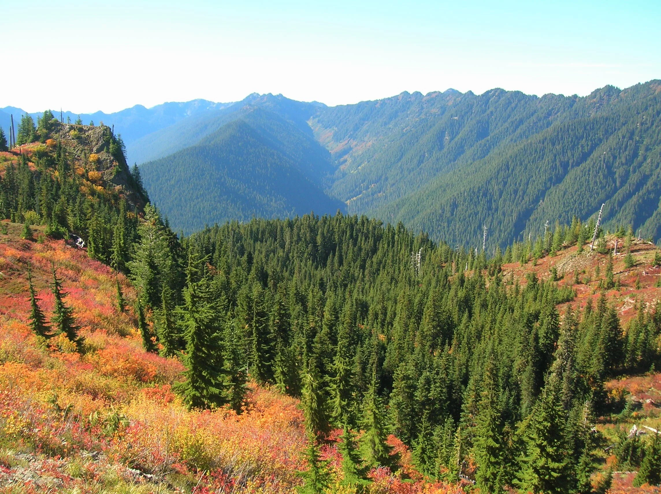
Visit the Black and White Lakes in late September and discover a surrounding landscape far from black and white. Revel instead in an alpine world of living color. The lakes sit in a basin long burned of its forest cover and since carpeted in berry bushes, mountain ashes and other shrubs that burst with brilliant hues of red, orange and yellow.
Craig Romano | Story & Pictures
Craig Romano has written more than 25 outdoor guide books including "Day Hiking Olympic Peninsula."
Visit the Black and White Lakes in late September and discover a surrounding landscape far from black and white. Revel instead in an alpine world of living color. The lakes sit in a basin long burned of its forest cover and since carpeted in berry bushes, mountain ashes and other shrubs that burst with brilliant hues of red, orange and yellow come the autumn equinox. It’s a grunt to reach them, but chance are good you won’t have too much company — unless you count gregarious ground squirrels, docile deer, and inquisitive bears.

Craig Romano Photo
Hit the Trail
While the Black and White Lakes lie on the trail less traveled, you must first hike some well-trodden paths. Start your journey on the North Fork Skokomish River Trail, which begins on an old road that was decommissioned in the 1970s. Hike through wild country, much like what U.S. Army Second Lieutenant Joseph P. O’Neil saw in the 1880s on his exploratory trips into the Olympic Mountains. But something O’Neil saw that you won’t were legendary fish runs. Before the North Fork Skokomish’s flow was dammed by Tacoma Power in the 1920s, this river was one of the largest salmon-rearing waterways on the peninsula.
Hike upstream on a wide path and gentle grade crossing several side creeks. Traverse a luxuriant bottomland of big cedars, Douglas-firs, and moss-cloaked big-leaf maples. Pass the Staircase Rapids Loop Trail and consider taking it on the return for a slight variation. After passing Slide Camp, hike across the Beaver Fire of 1985, caused by an illegal campfire during a drought and resulting in 1400 acres of old growth going up in flames.

Craig Romano Photo
The trail then pulls away from the river. At 3.6 miles, reach a junction just before Spike Camp. Now head right on the Flapjack Lakes Trail and slowly climb out of the valley along the old burn line. After a few switchbacks, the trail turns northward on a fairly gentle course. Admire a big cedar grove along the way, then cross Madeline Creek on a sturdy bridge.
The creek cascades below through a narrow ravine. Now start heading up steeper and rockier terrain and follow alongside cascading Donahue Creek. At 7.1 miles comes to a junction. The way to the right is where most folks head—to the Flapjack Lakes and Gladys Divide. You want to head left instead on the less-traveled trail.
Cross a pair of creeks, and then steeply climb, rounding a ridge to emerge at a 1936 burn site, now blanketed in berry bushes and mountain ash. After passing the log foundation of an old cabin, come to a junction with the Black and White Way Trail at 8.2 miles.
The old cabin was once part of a long mining operation here at the lakes. By the mid-1970s it had collapsed leaving only the rotting foundation behind. As you continue to hike into the lake basin, look around for evidence of old mining operations in the form of tailings, pits and cuts.

Craig Romano Photo
Now continue straight another 0.2 mile to an unmarked junction. The trail continues for one mile dropping into a forested basin housing Smith Lake. You want to go right and immediately reach the largest of the trio of Black and White Lakes. The lake is small but pretty with a couple of primitive campsites nearby. The other two lakes are not much more than pothole ponds tucked a little higher in the surrounding basin.
While the lakes aren’t stunning, the views from the open basin are—especially of the surrounding wilderness. Particularly striking is Wonder Mountain and the Three Sisters to the south, Six Ridge to the southwest, and Mount Steel to the northwest.

Craig Romano Photo
In autumn, this basin transforms into a mosaic of dazzling reds, oranges, and yellows.
So where did the name Black and White come from? There are a handful of name origin theories that include the lakes being named after a brand of whiskey, the last names of the original prospectors, and a way of describing manganese found at the site.
In any case the mining history here goes back to claims made in 1907. Copper was the original mineral mined. Getting the copper to market from this remote and rugged location however proved to be a challenge. A proposed flume was never built to help get the ore to the North Fork Skokomish Valley from where it was transported to Tacoma via roads. The mine’s claims were sold several times over the years. In the 1940s the mine’s owners dug a 200 foot tunnel. By the 1960s however mining activity had pretty much ceased at the lakes.

Craig Romano Photo
When you are ready to leave this beautiful and interesting place, retrace your steps 0.2 mile back to the junction near the old cabin remains. Then return the way you came or consider hiking out via the Black and White Way Trail. It’s a shorter route, but a knee knocker dropping more than 2600 feet in 2.2 incredibly steep miles. While the way is knee-jarring, the tread is smooth and not rocky.
The way trail ends at the North Fork Skokomish Trail at the junction with the spur to Big Log Camp. From here it’s 5.4 miles back to the trailhead via the North Fork Skokomish Trail.
Black and White Lakes hike:
Distance: 16.8 miles roundtrip
Elevation Gain: 3,800 feet
High Point: 4,515 feet
Difficulty: moderately difficult
Snow free: mid-June – Oct
Trailhead Pass Needed: National park entrance fee.
Olympic NP wilderness camping permit required if backpacking.
Notes: Dogs prohibited. No campfires above 3500 feet.
GPS waypoints: Trailhead: N47 30.968 W123 19.691
Black and White Lakes: N47 34.493 W123 20.556
Features: magnificent old-growth forest, wildlife rich backcountry lake, exceptional autumn foliage, excellent alpine views, historic mining area.
Land Agency Contact:
Olympic National Park, Wilderness Information Center, Port Angeles, (360) 565-3100, www.nps.gov/olym;
Recommended Guidebooks:
Backpacking Washington 2nd edition (Romano, Mountaineers Books)
Trailhead directions:
From Shelton, travel north on US 101 for 15 miles to Hoodsport. Turn left onto State Route 119 and drive 9.3 miles to a T intersection with Forest Road 24. Turn left, continuing on SR 119 which becomes FR 24 for 5.4 miles. Then bear right, coming to the Staircase Ranger Station in 1.2 miles and the trailhead.
Mildred Lakes
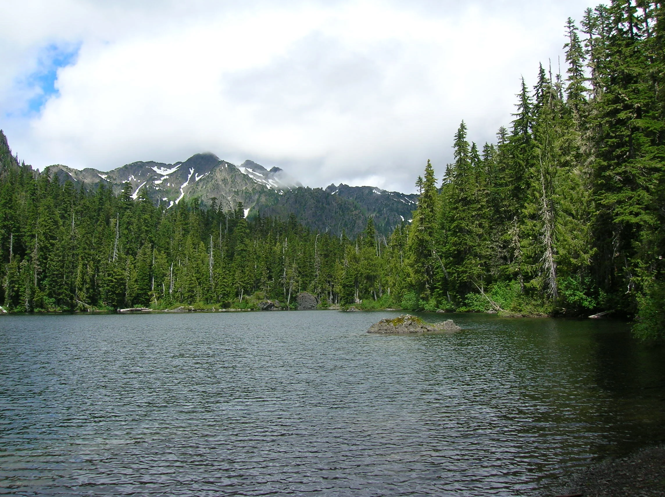
This grueling hike to a trio of backcountry lakes in a rugged wilderness setting is not for the weak of heart. Mildred Mildred Lakes, among the largest backcountry lakes the Olympics with excellent views of Sawtooth Ridge and Mount Pershing, is a challenging trail requiring use of hands and determination.
Craig Romano is an author of more than twenty hiking guidebooks including the bestselling Day Hiking Olympic Peninsula 2nd Edition (Mountaineers Books), which includes detailed descriptions for 136 hikes throughout the Olympic Peninsula. He is a featured columnist for the Fjord and Explore Hood Canal.
t’s the hardest, nastiest, meanest trail in the Olympics! And that declaration should not be taken lightly, as I have hiked thousands of miles (and written about hundreds of hikes) throughout the Olympic Peninsula. With perhaps only the trail to Lake Constance ranking as just as nasty—you won’t find a more curse-inducing trail than this one. The first time I ever hiked to the Mildred Lakes, I swore to myself that I would never ever do this trail again. I hated it. But alas, I was back on that wretched trail again a few years afterward. And my conclusion was that it’s still the hardest, nastiest, you-have-to-be-crazy-for hiking-this trail in the Olympics! So are you interested in hiking it?
Distance: 9.0 miles roundtrip | Elevation Gain: 2900 feet | High Point: 4100 feet Difficulty Loop: difficult | Snow free: July to October
Trailhead Pass Needed: Northwest Forest Pass or Interagency Pass
GPS waypoints: Trailhead: N47 34.517, W123 15.672 | Upper Lake: N47 33.461 W123 18.021
Hit the Trail
Okay, before hitting this trail, let’s have a chat.
No cheery coating—this is what you’re in for. This trail was never officially built. The trailhead was however. It’s fancy with a picnic table, privy and a view of a stunning waterfall. But don’t let those amenities fool you into thinking the trail is anything special. The trail is only 4.5 miles to the lakes, yet it will take you nearly that many hours to reach them. Why? The actual evaluation difference between the trailhead and the lakes is a mere 1,900 feet. But the real elevation gain is more than 3200 feet with copious ups and downs.
®Craig Romano Photo
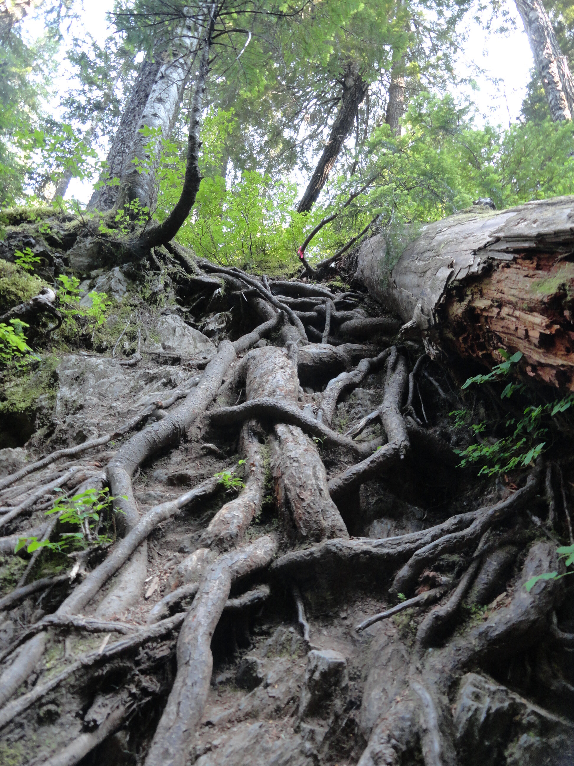
There’s one section of trail that climbs more than 1,000 feet in about a half mile. It is a nasty clamber up roots, rocks and loose gravel. But don’t curse the root—for they’ll be your handholds. There’s another trail section where you have to vertically drop about 25 feet into a tight ravine. And you’ll be using a veggie belay to climb out of it. You will skirt mud, go through mud, and probably be covered in mud upon reaching the lakes.
And if you don’t let out a scream, your knees and toes most certainly will! So why then unless you’re a sheer masochist would anyone want to hike this trail? For one thing, the Mildred Lakes are among the largest backcountry lakes the Olympics. Their setting is quite sublime in a rugged basin surrounded by serrated peaks. You will definitely earn these lakes; as many hikers just aren’t cut out for this grueling journey. That means you’ll see a fraction of the amount of people you’d see at nearby Lena Lake.
And in this age of social distancing, the Mildred Lakes’ brutal approach helps make that directive easier to comply. So if you’re ready to bust your rump, read on!

Hamma Hamma Falls | ®George Stenberg
The Mildred Lakes Trail leaves the roar of the cascading Hamma Hamma River behind and enters the 13,000-acre Mount Skokomish Wilderness. Starting out fairly easy, the path winds through an old cut that has been growing back in pretty nicely. The way then passes a large avalanche chute and enters gorgeous old growth forest. Here what once a decent path now deteriorates into an obstacle course. Around fallen logs, over fallen logs, and straight-up rocky and rooty slopes the trail steeply climbs a 3200-foot ridge. Catch your breath, wipe the sweat from your brow and enjoy a good view of nearby Mount Pershing looming above.

®Craig Romano Photo
The trail then descends from the ridge into a cool forested glen graced by rushing Huckleberry Creek. And yes, there are huckleberries here—lots of ‘em to sweeten this hike a tad come late summer. At the creek come to a questionable log crossing. You can teeter on it to cross the creek. But it’s probably far safer to wade across. Don’t bother drying your feet, because another creek crossing awaits shortly afterward.
The trail now get tougher and a tad bit tricky. It ascends a steep ridge and comes to a tight ravine. Using roots as handholds, drop 25 steep feet into the dank draw before resuming a taxing climb. After clambering over rock, root, and ledge—and gaining 1000 feet in elevation in a little more than a half mile—the insanity ends on a 4100-foot ridge. Now wander along open ledges, enjoying excellent views of Mount Cruiser and the Sawtooth Range. You might be a little dismayed however as there are no lakes in sight. Your punishment isn’t over yet.

®Craig Romano Photo
The trail continues. Drop 250 feet and trudge through marshy mosquito breeding grounds. Make haste through it and finally reach the first of the Mildred Lakes. It’s set in deep old timber with a backdrop of rugged summits. The scene is serene. Scramble over more roots and rocks to the far side of the lake for good fishing spots, resting spots and campsites. Watch resident osprey dive bomb the placid lake.
The other lakes are prettier, so carry on by crossing lower Mildred’s inlet stream and following a rough path through heather meadows for about 0.3 mile to a junction. Here a rudimentary path leads right to middle Mildred Lake. Admire its rocky islands. Upper Mildred, one of the largest backcountry lakes in the Olympics can be reached by continuing on the more defined path for just a couple hundred yards forward. Located in a bowl between Mount Lincoln and Mount Cruiser, the setting is as rugged as the terrain you just hiked across. Quite beautiful too, and hopefully justification for all of the bruises, scratches, and aches and pains you’ll bring back with you to the trailhead.

®Craig Romano Photo
Mildred Lakes Notes

Wilderness rules apply
Land Agency Contact: Olympic National Forest, Hood Canal Ranger District, Quilcene, (360) 765-2200; http://www.fs.usda.gov/olympic
Recommended Map: Green Trails Olympic Mountains East 168S
Recommended Guidebooks: Day Hiking Olympic Peninsula 2nd edition (Romano, Mountaineers Books)
Trailhead directions: From Hoodsport travel north on US 101 north for 13.7 miles turning left at milepost 318 onto FR 25 (Hamma Hamma River Road). Continue for 13.3 miles (the last five miles are gravel and can be rough) to the trailhead.
Trailhead facilities: privy, picnic area
Tips for safe and healthy hiking during the Covid-19 Pandemic
It’s imperative that we do all we can to prohibit a second devastating outbreak of this disease. We can do that by adhering to the following while we enjoy our trails:
Avoid crowded hiking destinations. If you arrive and the parking lot is already full, head to another location
Avoid hiking in large groups outside of your family
Practice Social Distancing while on the trail, giving other hikers lots of room to pass and keeping your distance from them at lakes, summits, etc.
Wear a mask when encountering others on the trail. A buff or bandanna works well.
Pack hand sanitizer
Pack it in pack it out
Don’t be a surface pooper. Learn how to properly poop in the woods by always using privies first if available-or by heading at least 200 feet away from all trails, campsites and water sources and digging a cat hole for your business. Bury your waste and toilet paper
Pack out all pet waste.
Hood Canal Hike: Duckabush River Trail
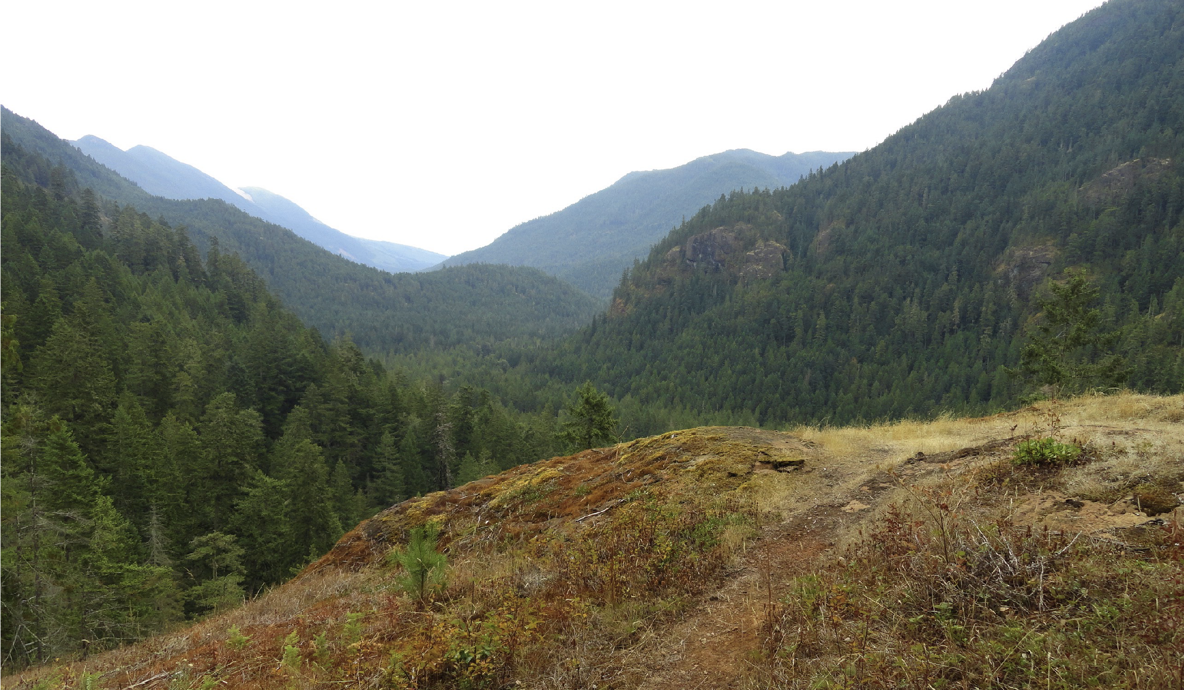
The Duckabush River starts in the heart of the Olympic Mountains. Fed by glaciers, snowfields, and a myriad of springs and alpine lakes; this major Olympic Peninsula river provides excellent wildlife habitat and makes for some stunning scenery. Explore this valley in the winter for the added bonus of solitude, a chance to observe elk, and to witness a rain-swollen river careening through clefts and over boulders.
Craig Romano | author Day Hiking Olympic Peninsula 2nd Edition

The Duckabush River starts in the heart of the Olympic Mountains. Fed by glaciers, snowfields, and a myriad of springs and alpine lakes; this major Olympic Peninsula river provides excellent wildlife habitat and makes for some stunning scenery. Explore this valley in the winter for the added bonus of solitude, a chance to observe elk, and to witness a rain-swollen river careening through clefts and over boulders.
Hit the Trail
The Duckabush River Trail is a portal into the wild interior of the Olympic Peninsula. A well-maintained trail travels along a good portion of the waterway allowing you to experience its grandeur. The trail travels a verdant valley for more than 20 miles terminating at Marmot Lake in the heart of Olympic National Park.
That’s a long journey primarily reserved for multi-day backpackers who often continue farther from there to cross historic O’Neil Pass. Day hikers however will be content to head up this trail for just a few miles.
An objective for many hikers and one that includes a good day’s worth of mileage and a little climbing too is to an imposing riverside knoll known as the Big Hump.
If the 7.8 mile distance and more than 1400 feet of elevation gain to reach this destination is too much, a satisfying turnaround spot is a nice stretch of river just prior to the climb.
The Duckabush River Trail like many of the trails leading along rivers into the Olympic interior begins as an old roadbed. Park officials, foresters and others once sought to punch roads deeper into the Olympics. However, over time, changing attitudes that emphasized preservation of areas free of roads and dwindling budgets that couldn’t maintain many miles of backcountry byways led to miles of roadway being converted to trails. In almost all of these cases this has meant miles of gentle hiking as the old roadways were often well graded. That is the case for the beginning of this trail.
Head off down the trail gently climbing through a uniform forest of second-growth fir. This part of the Duckabush River valley was logged—but it was many decades ago. The real old and impressive trees are yet to come. At 1.2 miles the trail enters The Brothers Wilderness, a 16,000-plus acre federally protected section of the Olympic National Forest. Wilderness designation means that this rugged and ecologically important tract of land bordering the national park will never be logged, developed or have a road traverse it. Bicycles and machinery are not permitted either, allowing folks who come to explore this area by foot or horseback a true wilderness experience.
The trail continues through a low gap near Little Hump and then begins a descent of 250 feet, following an old logging railroad grade on an almost perfectly level trajectory. Loggers here didn’t take all of the big timber as a few standing giants attest.
While this part of the Olympics is in a rainshadow, receiving around 70-80 inches of rain a year compared to two to three times that on the other sides of the mountains, mossy limbs and a thick understory makes it feel somewhat like a rainforest.
After passing a campsite the trail finally comes upon the Duckabush River. At 2.6 miles, you’ll reach a spectacular spot where giant cedars and firs hang over the churning, crashing river. This is a great spot to turn around and perfect for a good half day hike or one with young adventurers.
Go Farther
If you’re intent on tackling the Big Hump, continue up the trail preparing yourself for a stiff 1,000 foot climb. The way steadily and steeply at times climbs. Old-growth greenery is soon replaced with fire-scarred trees and burnt and downed timber. Here in 2011 a careless camper started a wildfire that scorched a large patch of old-growth on the Big Hump. Hardy fire-scarred trees stand among stands of fire-ravaged timber. While trail crews have since rehabilitated the tread here, avoid this section of trail during periods of high wind, as burnt snags are prone to toppling.

At a little over 3 miles come to a ledge with a spectacular view east down the river valley.
On a clear day you can see all the way to the Cascades. To the south, impressive St. Peters Dome hovers—often catching swirling low clouds. Return to this spot later in the spring and you’ll have an array of wildflowers enhancing the views. Keep hiking and come to another outcropping before finally cresting 1700-foot Big Hump at 3.9 miles.
For most day hikers, this is far enough. But if you still feel like hiking, continue through a mosaic of old growth and fire scorched trees and descend 600 feet back to the river. Here at 5.3 miles from the trailhead is a camping area near a series of impressive rapids. During periods of heavy rain the river can be deafening here. Watch for darting dippers in the rapids as you rest up for your return to your start.

And if you are a strong hiker or are out on a several day backpacking adventure, the trail generally remains snow-free through the winter for many more miles. Note that at 6.7 miles from the trailhead it enters the national park—meaning dogs are not allowed to continue—and if you are planning on camping, you’ll need to secure a backcountry permit beforehand.