
Spring day at Staircase
During spring the Staircase Entrance of the National Park offers some opportunity for great hikes with virtually no one else on them that early in the season! Take the kids or friends and plan a mountain adventure. Build an igloo, go snowshoeing, or just have a snow ball battle. Although the lower reaches may be drowning in rain, if you head to the hills you might just find a drier, fluffier version.

Last spring we packed up a picnic and headed for the park. On a Sunday, first week of March, we saw about seven cars in the Staircase parking lot and passed about a dozen people on the Loop Trail. With the horror stories from overcrowding last summer during the peak of the lockdown – we were thrilled to have the trail practically to ourselves.
Getting There
The road from Hoodsport to Lake Cushman is narrow and windy. Be prepared to go slow as then you will find it charming and scenic with glimpses of the lake between the trees and driveways. Lake Cushman was originally a straight broadening of the North Fork of the Skokomish River that was naturally dammed by gravel and debris deposited by glacial movement during the last ice age. This small lake was artificially dammed in the 1920s to meet the increased power needs after World War I.
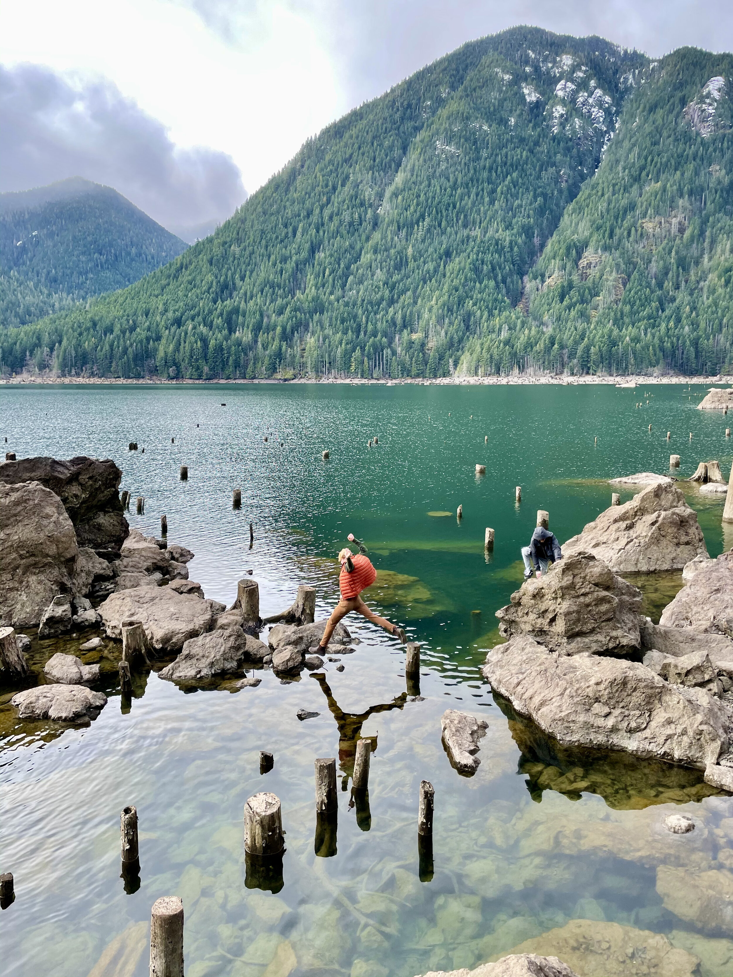
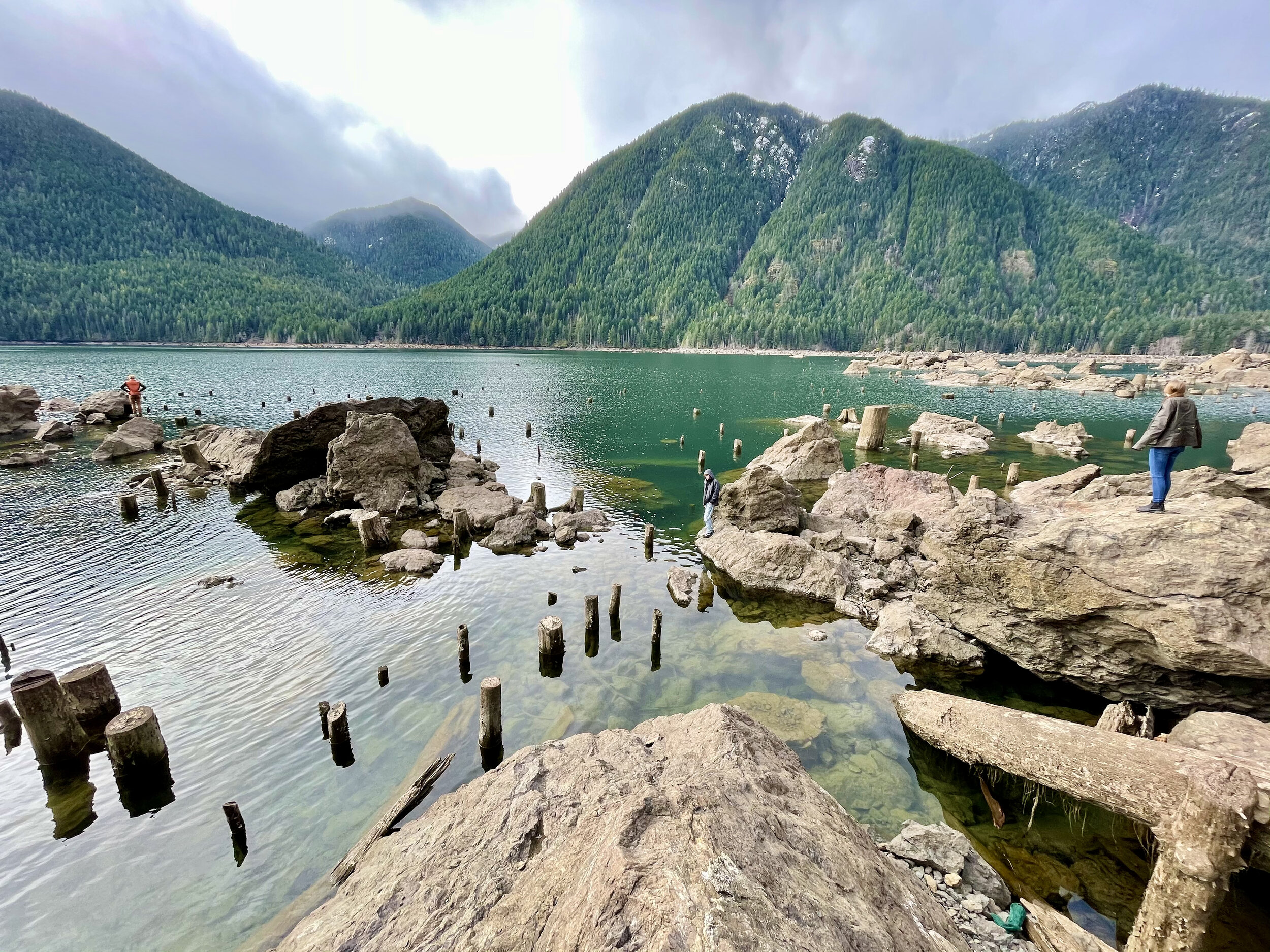
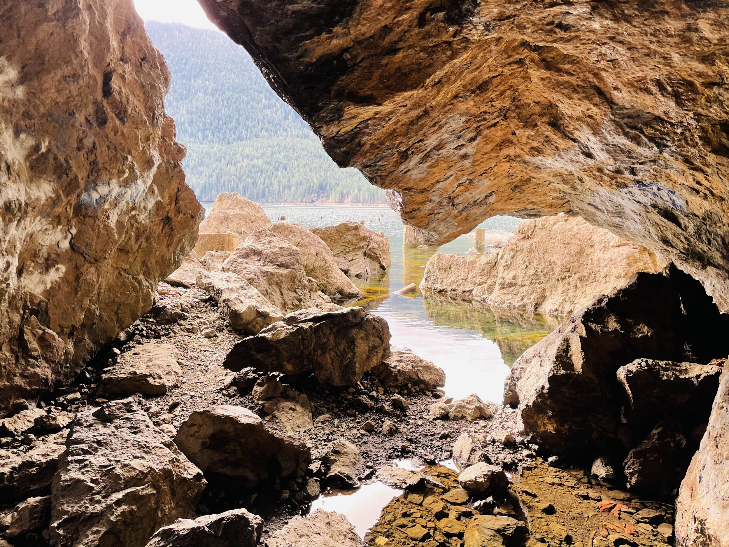
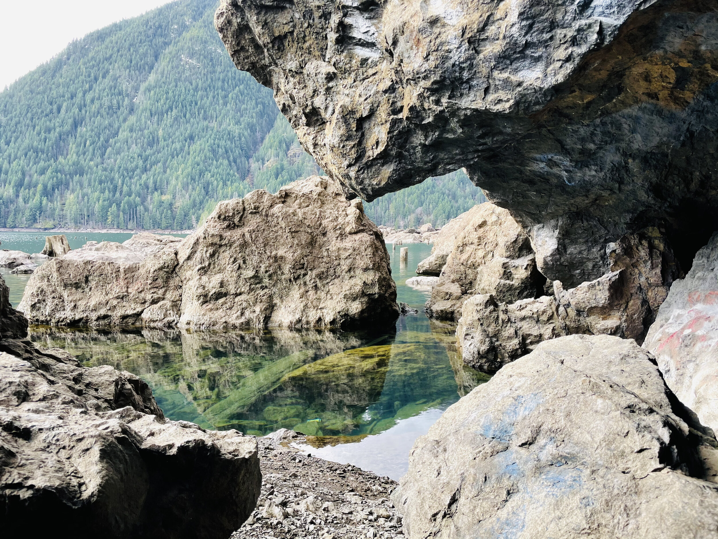
The evidence of the forest that once was is prominent in the incredibly low water of the lake.. This is a natural occurrence in early spring – late winter, but the effect was astonishing. Surrounded by a sea of first growth stumps and rock "islands," the giant boulder renown as ‘The Big Rock’ was perched on smaller rocks creating a magical grotto with reflecting pools magnifying the beauty of the snow dusted treed hillsides plunging sharply into Lake Cushman. We scrambled around the rocks and enjoyed a whole new experience.
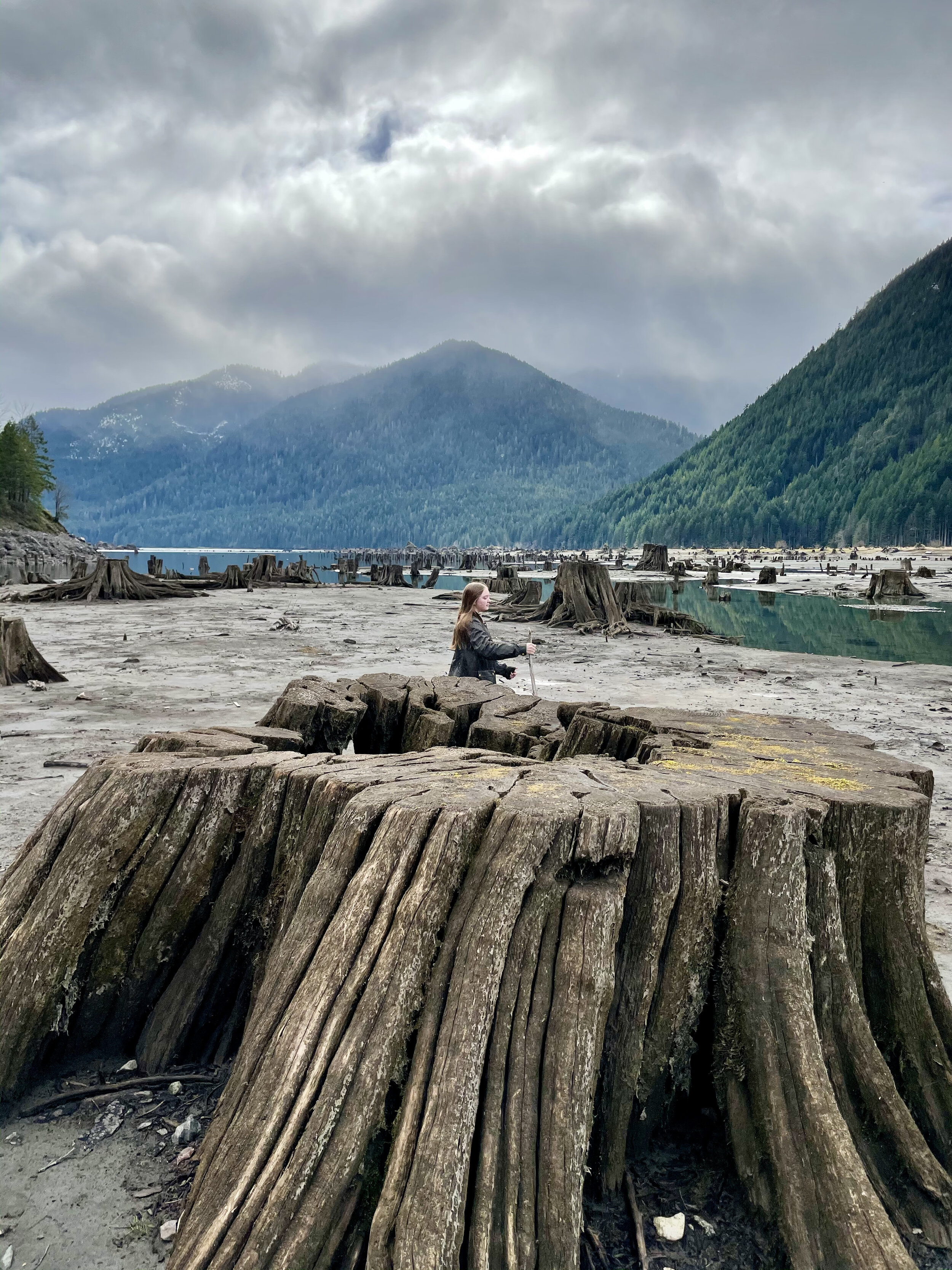
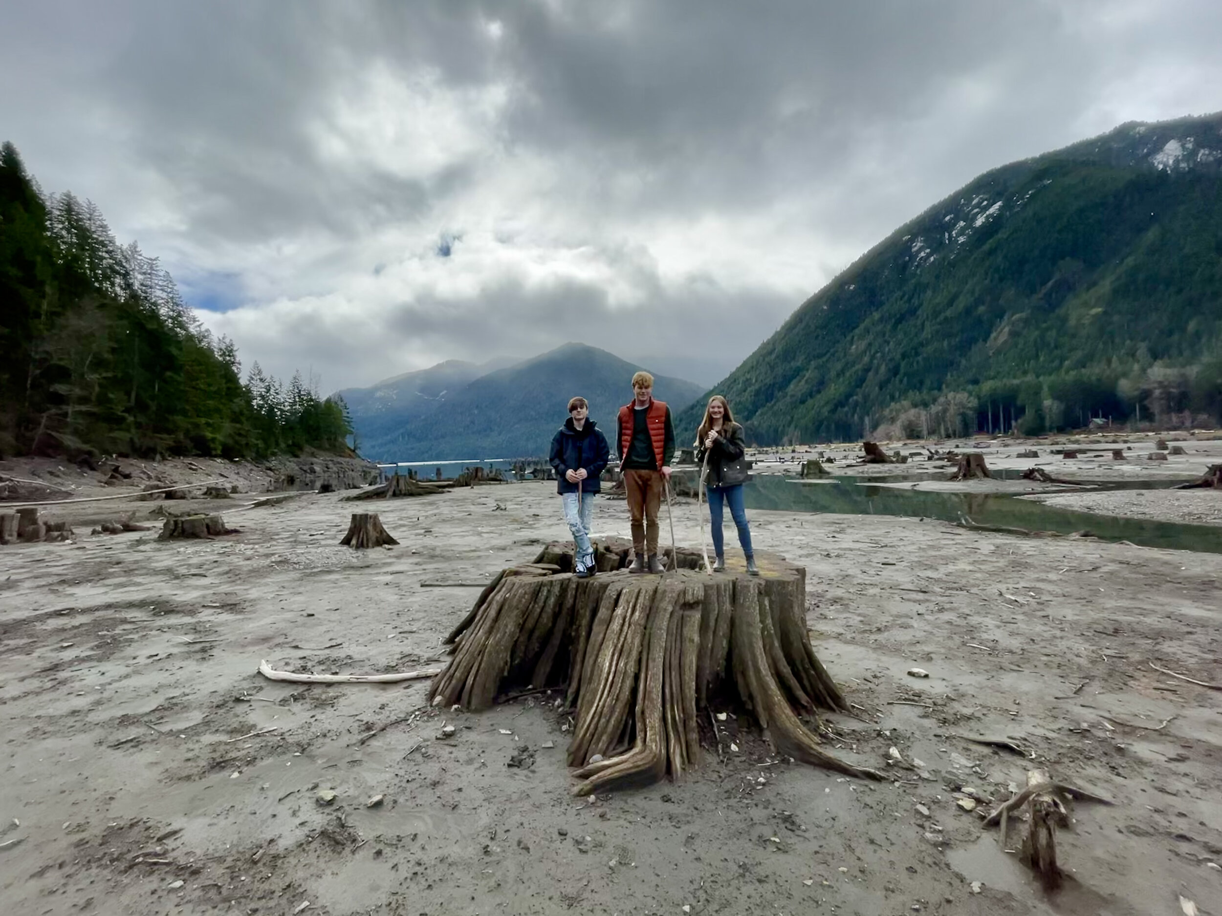
A little further down the road is a pull out at the end of the lake. Here the “sea” of stumps is even more fantastic. The landscape is great for exploring and dramatic photos. The springboard holes used by the early foresters as they cleared the valley are perfectly archived.
Staircase Loop Trail
The entrance to Staircase was un-manned when we arrived. There were just a few cars parked in the lot. You will need to have a pass to park. We recently purchased the America The Beautiful Annual Pass. This pass covers federally managed recreation lands such as National Parks, National Forests, National Wildlife Refuges, and Bureau of Land Management Recreation Areas throughout the country.If you purchase this pass you may use it for both the Olympic National Park and for trailheads requiring a NW Forest Pass. The pass covers all people in your vehicle and covers two pass signers at walk-in locations, so at $80 per year, it’s a pretty good value and takes a lot of guesswork out of what passes needed when exploring the Olympic National Forest and Park.

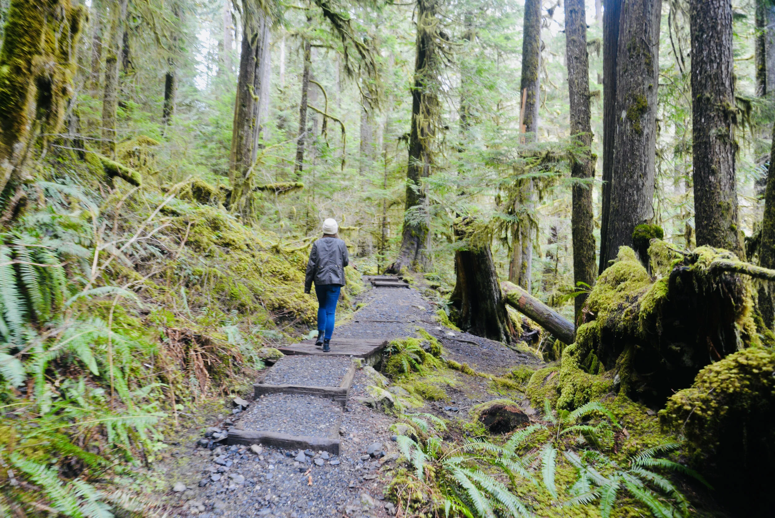
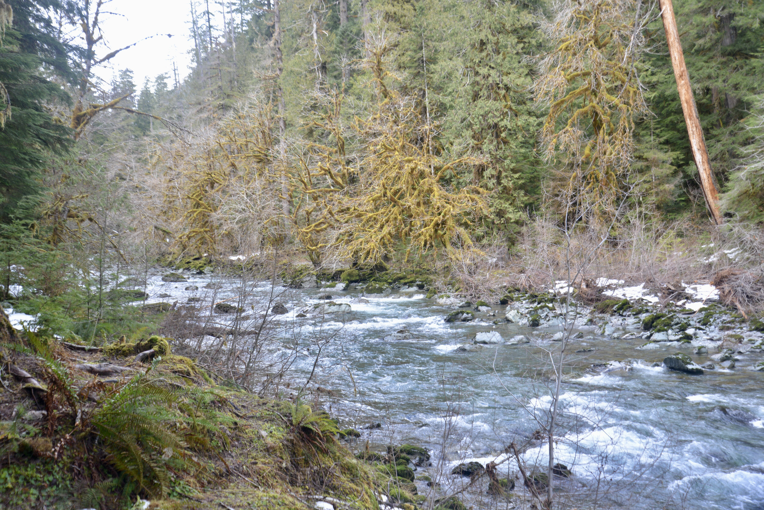
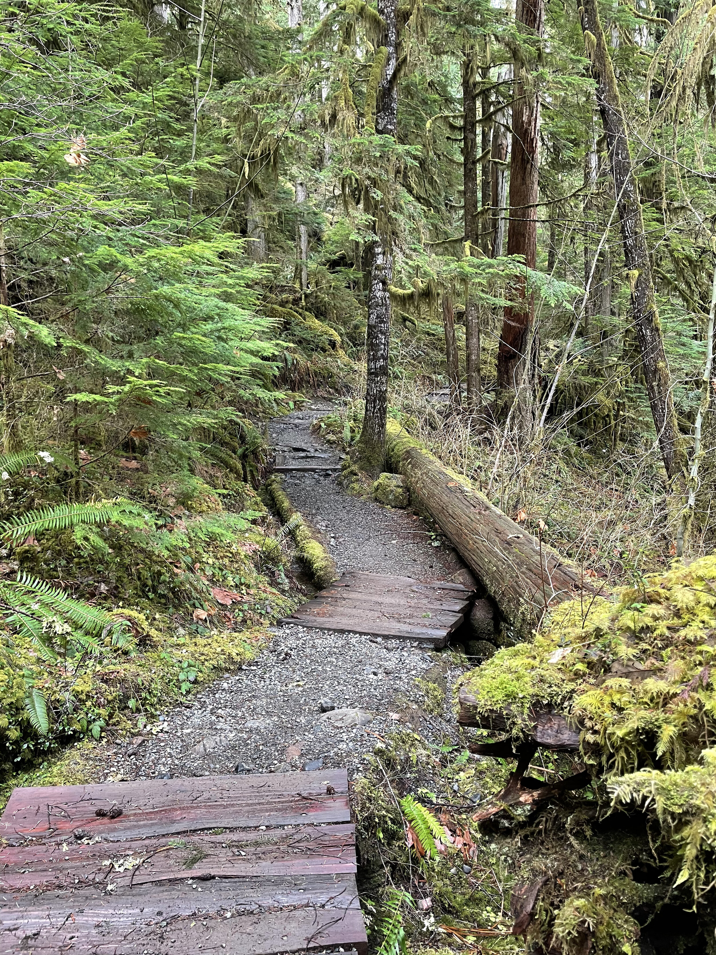
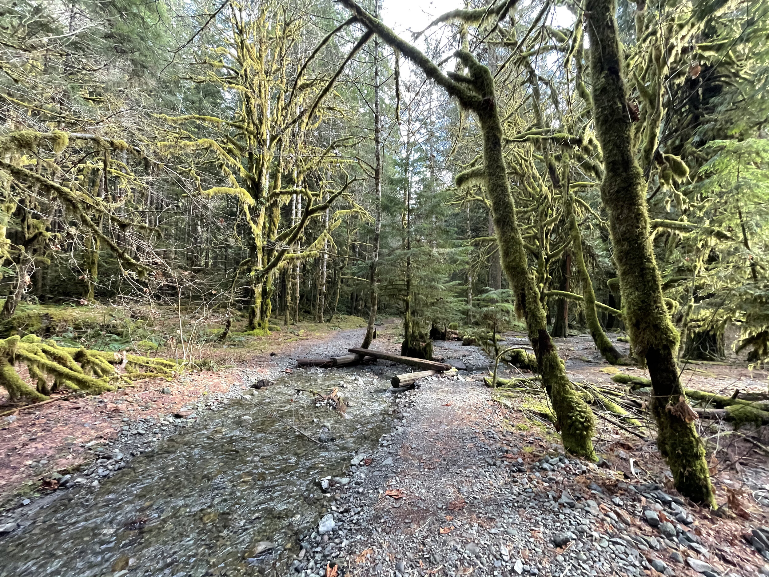
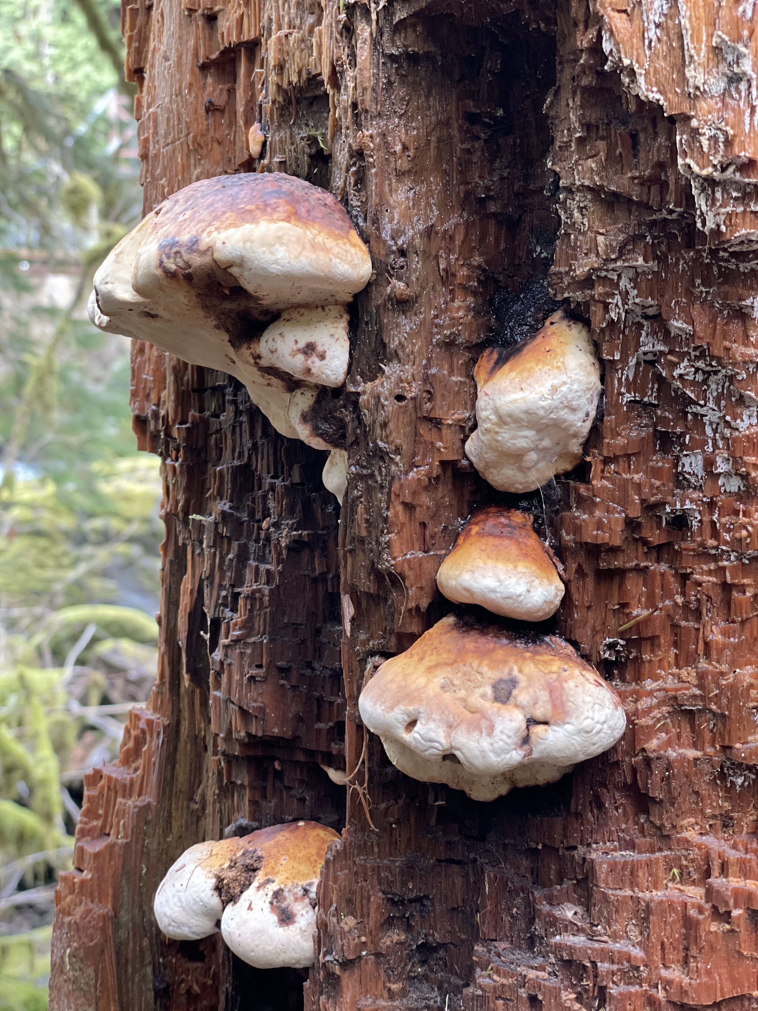
Near the parking lot there are vault toilets and information boards. The trails go in a multitude of directions but we took the standard Staircase Loop. It’s less than two miles and follows the curves of the North Fork of Skokomish River. We love loops. Something different around every bend and when you drop back in the parking lot you are still wanting more.
There was enough snow on the trail, peeping through the breaks in the dense canopy, to make it perfect contrast for photos against the mossy green – and the odd snowball to break the reflection.
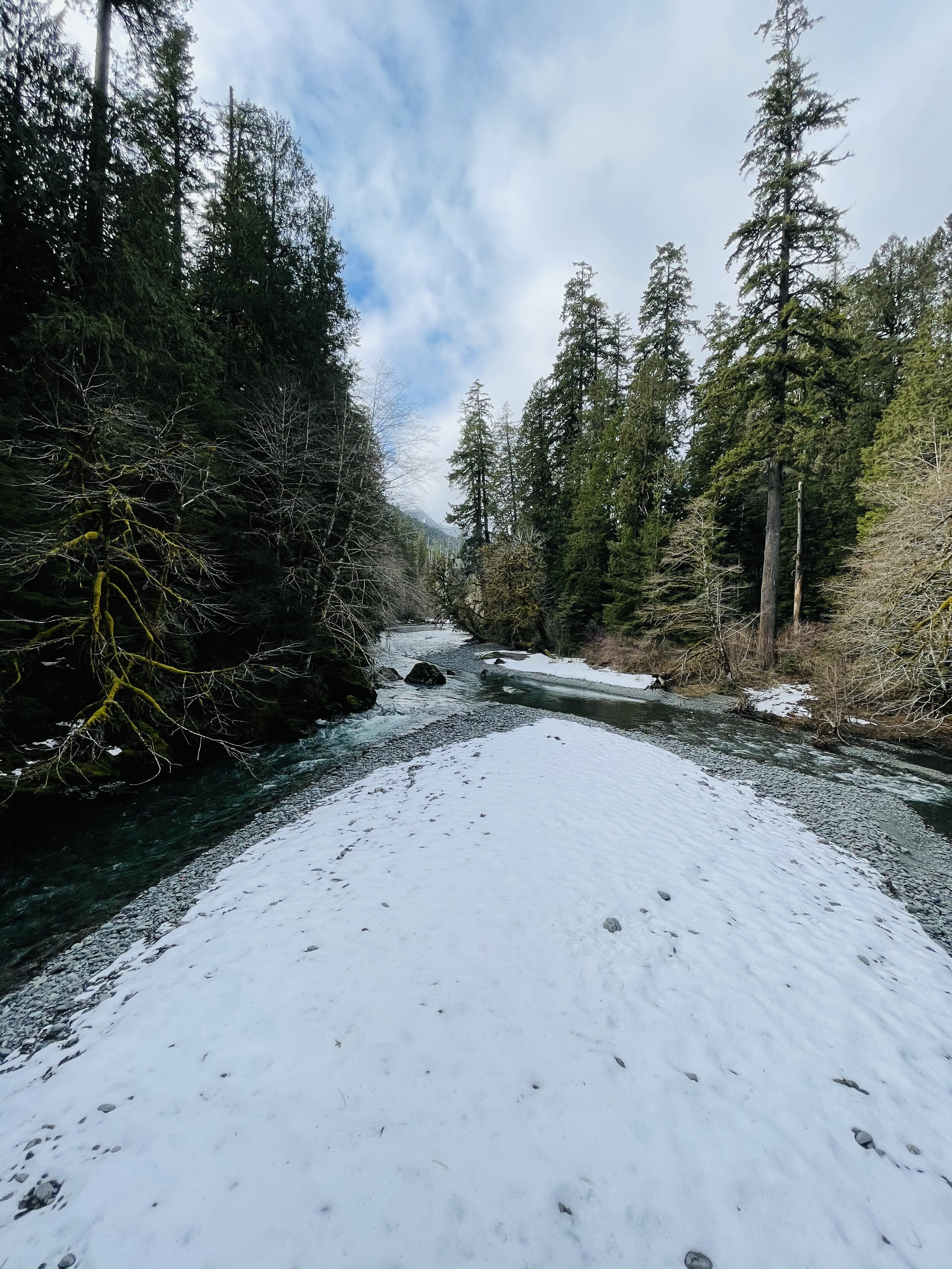
Heads up…you will see no staircase at Staircase today. In 1890, when Lt. O’Neil and his crew blazed their trail through the Skokomish wilderness, the rock bluff across the river from the campground was a major obstacle. To get over it they built a cedar staircase. Until the nearby Shady Lane Trail was built in 1911, the ‘Devil’s Staircase’ was the only path over the bluff. The name, and O’Neil’s legacy, remains. However, as you follow the river with its tumbling force of river over huge basalt boulders – you can kind of imagine the rapids are staircase of sorts.

We stopped off by the river at the “swimming hole” to make lunch on the beach. With a Jetboil and some hot freeze dried meals, it was sublime. They’ve come a long way from what I remember as an instant meal. Having hot tea after in the chill of the forest was magical too.

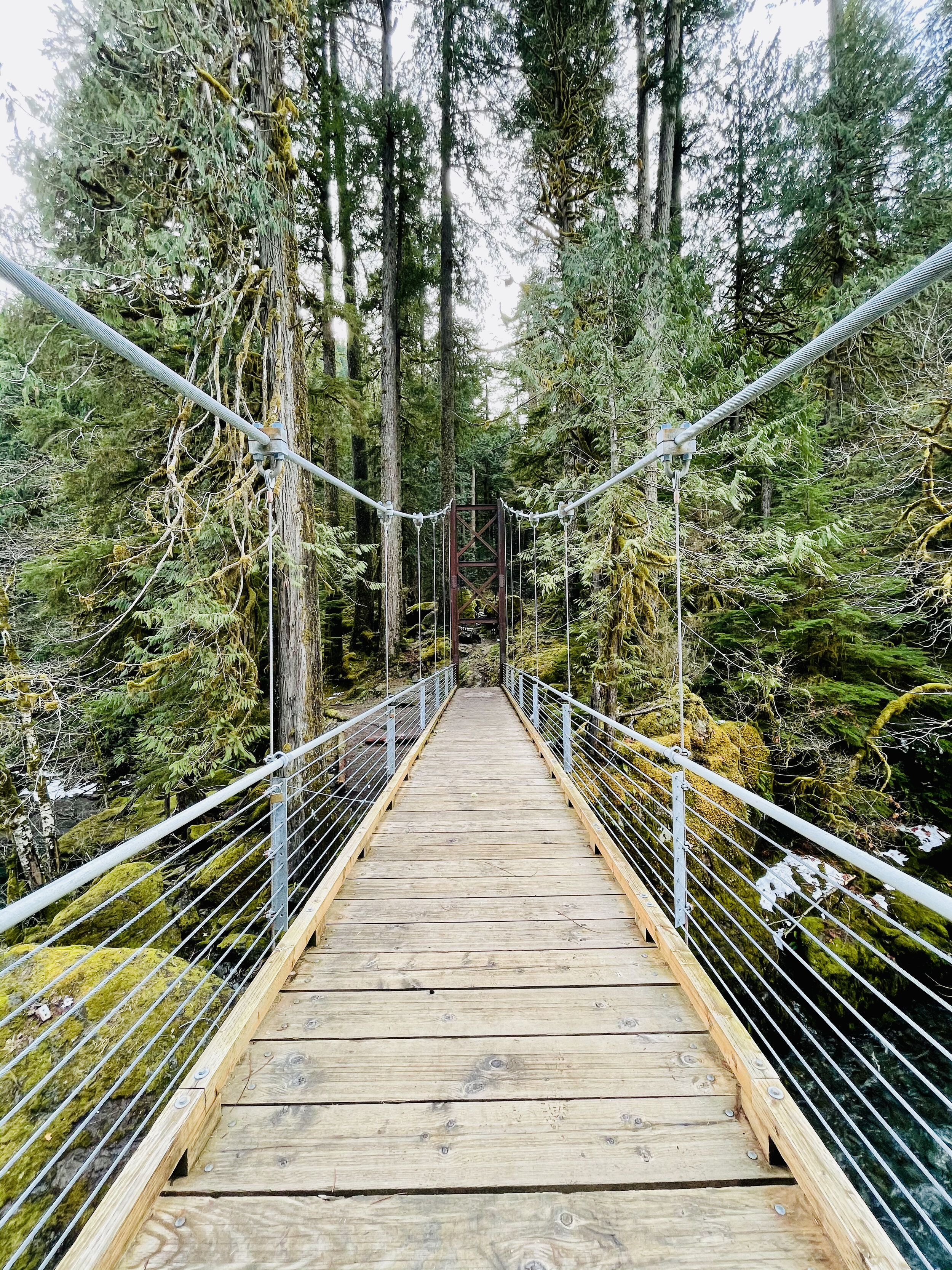
The trail crosses over the river at a dramatic suspension bridge. Here the view opens up and you can see a few snow covered glacial peaks of the Olympics. Despite their jutting appearance, the Olympic Mount Range are not volcanic. This is surprising given the proliferation of volcanic ranges in the Pacific Northwest, for example Mount Baker and Mount Rainer. As evidenced by the marine fossils found in the summits of the range, the Olympic Range once was part of the ocean floor. Approximately 120 million years ago, the Pacific Tectonic Plate crashed into the North American Plate and created the Olympic Range.
Journey Back
The trail back on the opposite shore is a vast contrast to winding hummocks covered in moss and ferns. The path now follows an old road bed peppered by giant cedars, firs and fallen nurse logs. At two points you cross log bridges to ford the gentle streams coming down from the hills above. The trail ascends up a makeshift timber “staircase” and then drops back into the parking lot near the ranger station.
